Zosia and I took a short break at the top before returning the way we came. We had no trouble on the descent and made it back to the trailhead in about 70 minutes.
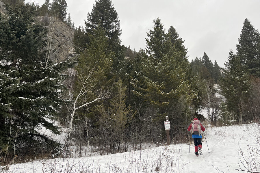 |
Zosia begins hiking at the trailhead for Storm Castle. |
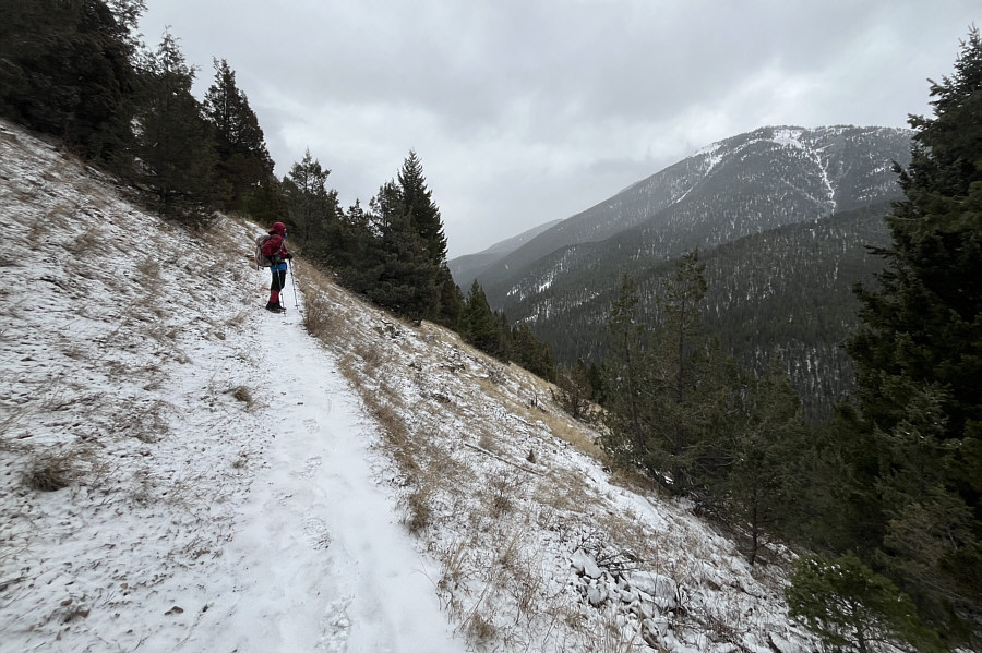 |
The snow-covered trail is a bit icy but easy to follow. |
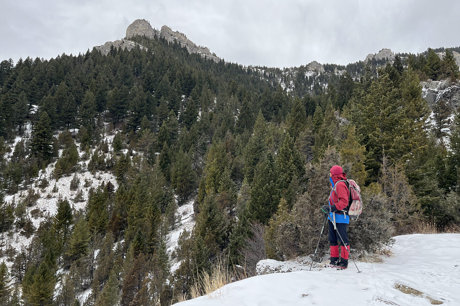 |
Zosia gets her first good look at the top of Storm Castle from this viewpoint just off the trail. |
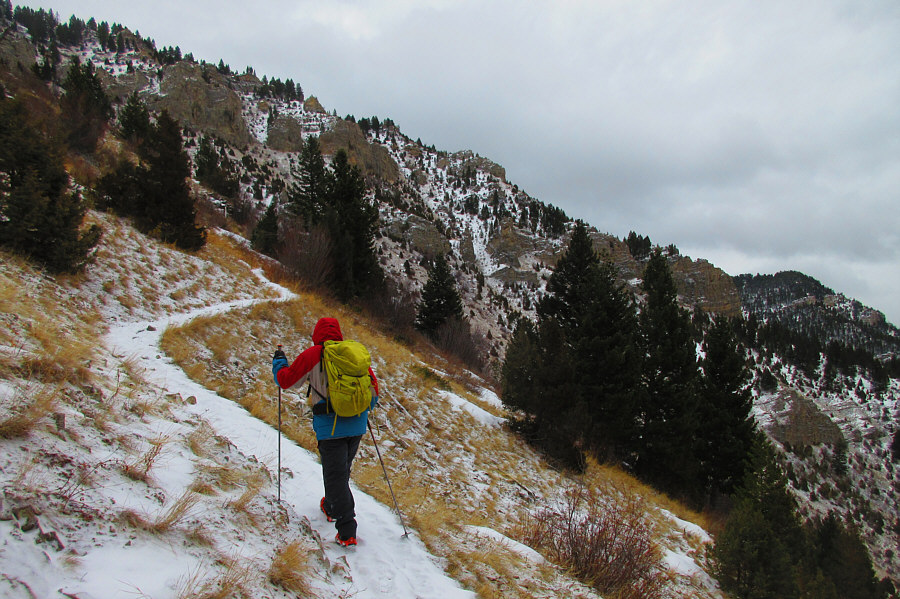 |
Rugged cliffs begin to appear on the upper slopes. Photo courtesy of Zosia Zgolak |
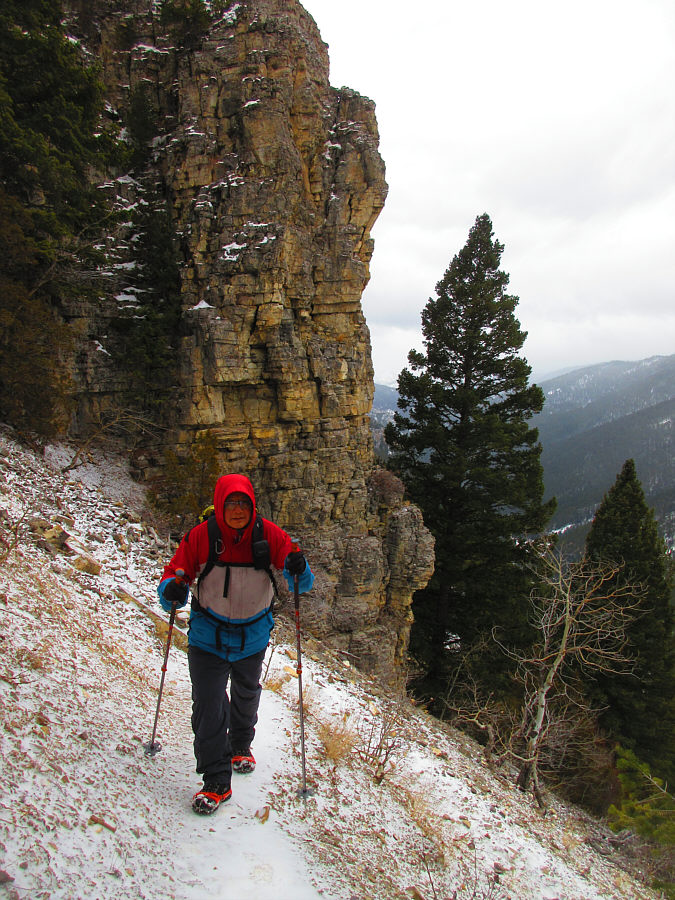 |
Sonny follows the trail past some
precipitous cliffs. Photo courtesy of Zosia Zgolak |
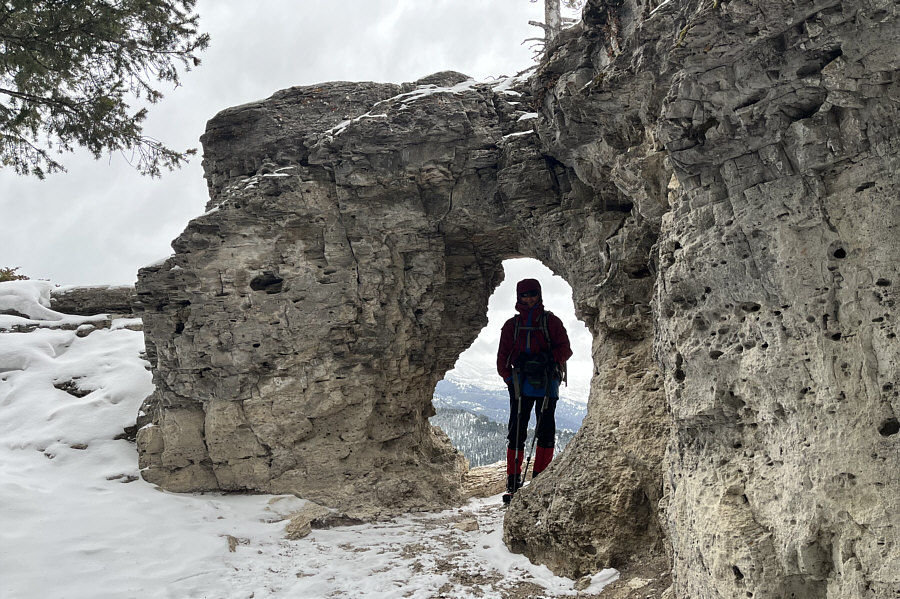 |
Just before the summit, Zosia detours from the main trail to check out a natural window in the rock. |
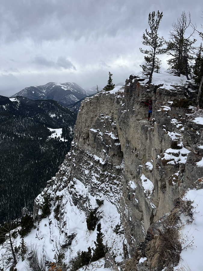 |
Here is a view of the cliff face on the other side of the natural window (where Zosia is standing). |
 |
Zosia climbs up the last few metres before the summit. |
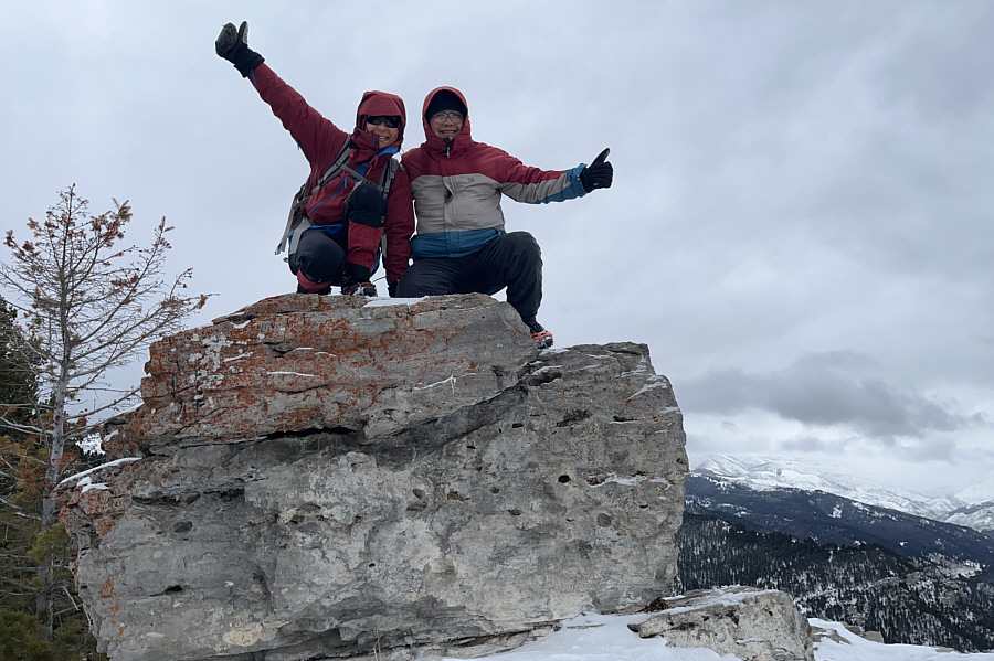 |
Zosia and Sonny scramble onto the summit of Storm Castle (2227 metres). |
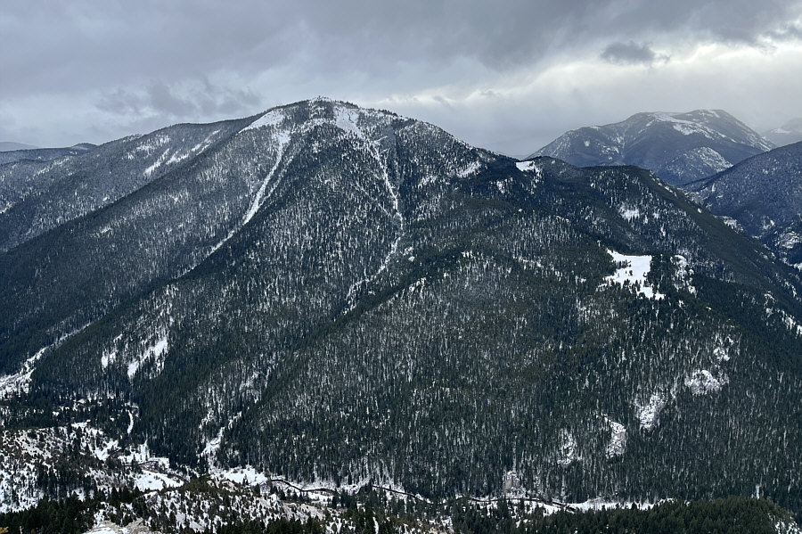 |
To the southeast is Garnet Mountain. |
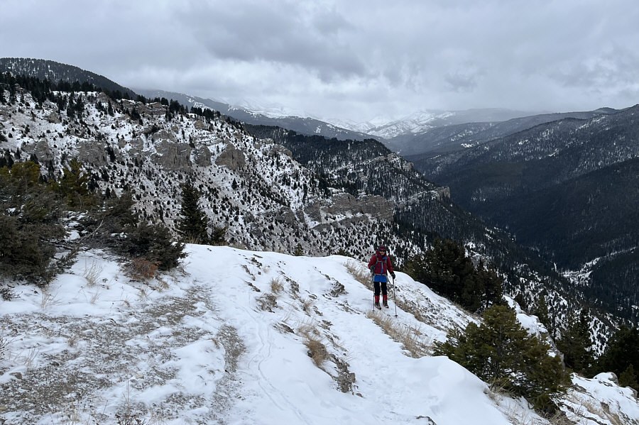 |
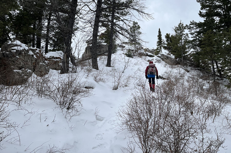
Zosia descends the trail with Squaw Creek valley in the background. |
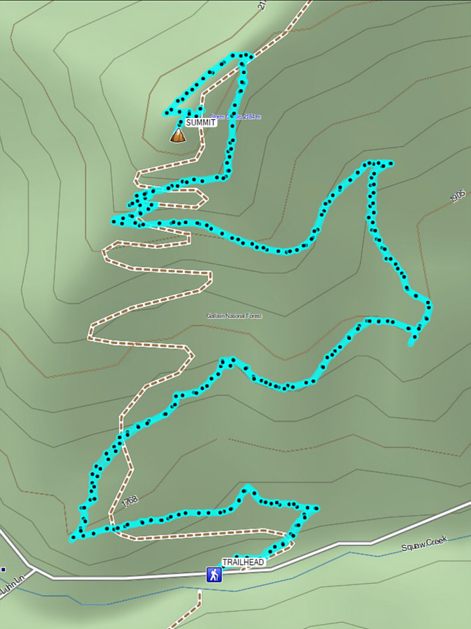 |
Total Distance: 8.0 kilometres Round-Trip Time: 4 hours 42 minutes Cumulative Elevation Gain: 541 metres |
From Bozeman, drive eastward on Bridger Drive (Highway 86) for about 4.3 kilometres past the intersection with Griffin Drive. Turn right to enter a large parking area on the south side of the highway (no facilities but a vault toilet is available at the College M Trailhead a short distance further east). The signed trailhead is south of the parking lot across an access road for a nearby fish hatchery. Highway 86 is a very busy road; use caution when re-entering it especially from the College M Trailhead which has a sloping access ramp that may be dangerously icy in winter.
From the signed trailhead, Zosia and I hiked over a low rise before crossing a footbridge over Bridger Creek. We then crossed a second access road to walk through a portal labeled with the name of our objective. The trail then splits, and it is possible to hike the mountain as a loop. We opted to hike in a clockwise direction by going up the northern half of the loop which is slightly shorter but largely in viewless forest. The actual summit itself is disappointingly surrounded by trees, but there are some scenic viewpoints nearby. After visiting a subsidiary high point just south of the summit, we descended the southern half of the loop which is much more open with nice views of the city and beyond. We eventually completed the loop near the portal and hiked back over the bridge and the rise to return to the parking lot.
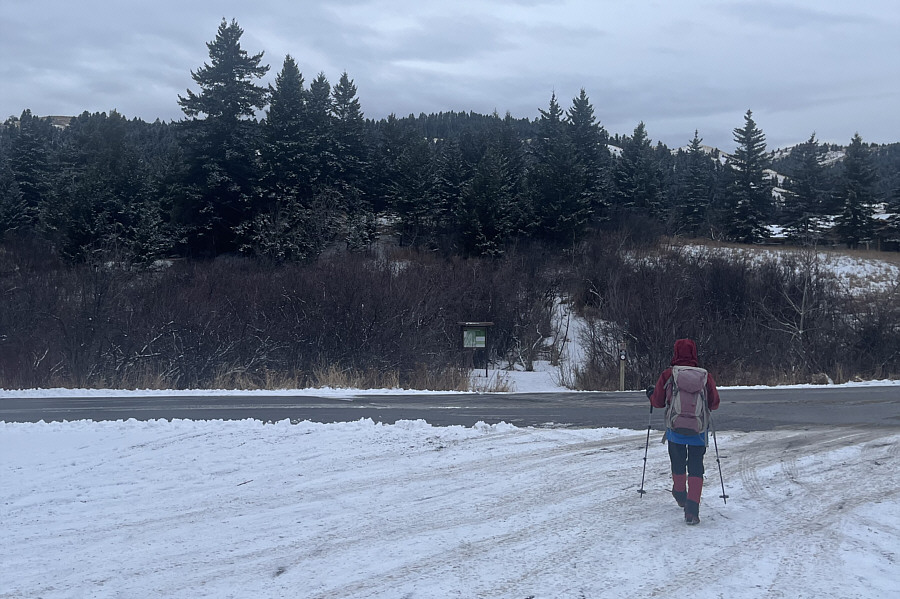 |
Zosia begins hiking at the trailhead for Drinking Horse Mountain. |
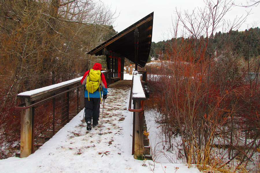 |
Sonny crosses Bridger Creek on the
unique
Kevin Mundy Memorial Bridge. Photo courtesy of Zosia Zgolak |
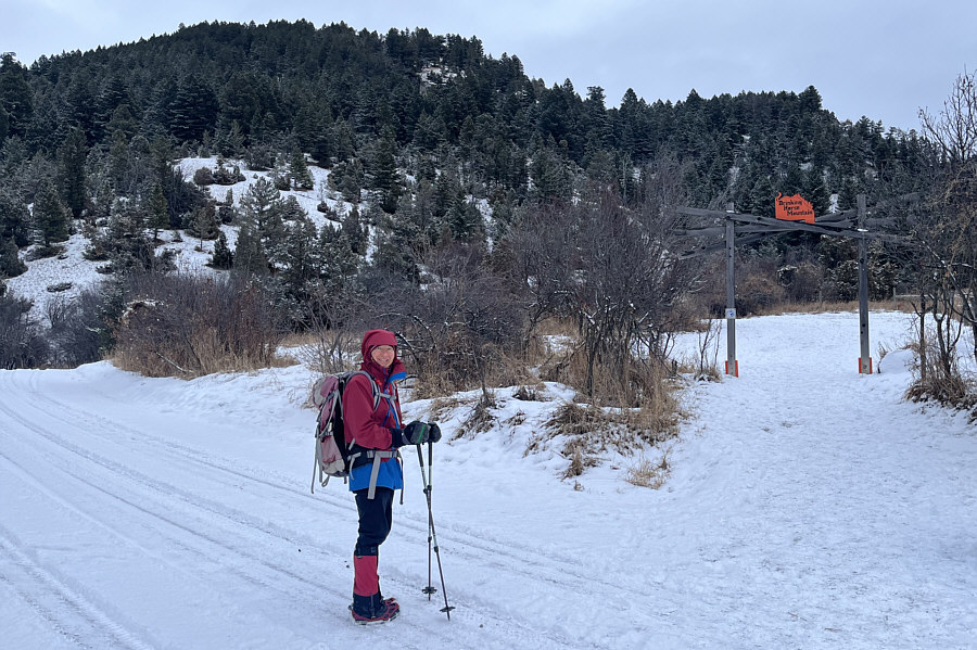 |
Zosia arrives at a signed portal for Drinking Horse Mountain. |
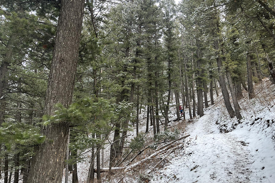 |
The northern half of the loop trail is mostly in forest. |
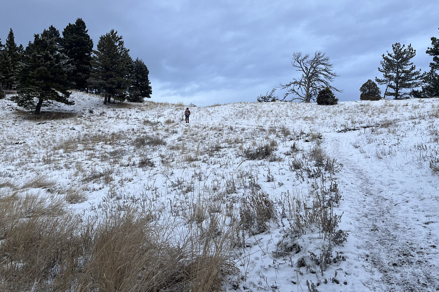 |
The forest gives way to some open grassy slopes near the top. The actual summit is in the trees at left. |
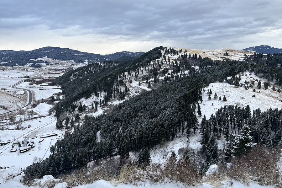 |
A clearing near the forested summit of Drinking Horse Mountain (1684 metres) grants this view to the east. |
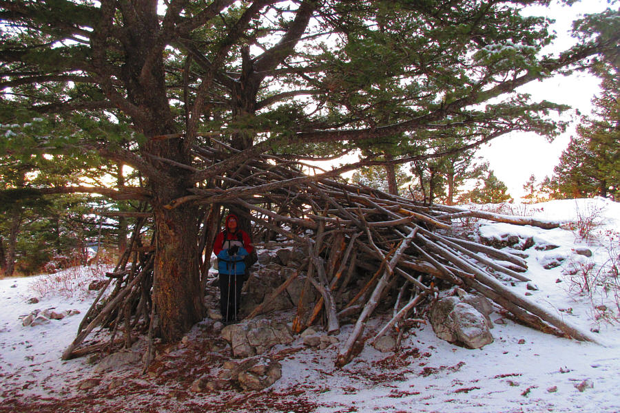 |
Not far from the summit is this
makeshift shelter. Photo courtesy of Zosia Zgolak |
 |
Zosia heads to a subsidiary high point south of the summit. |
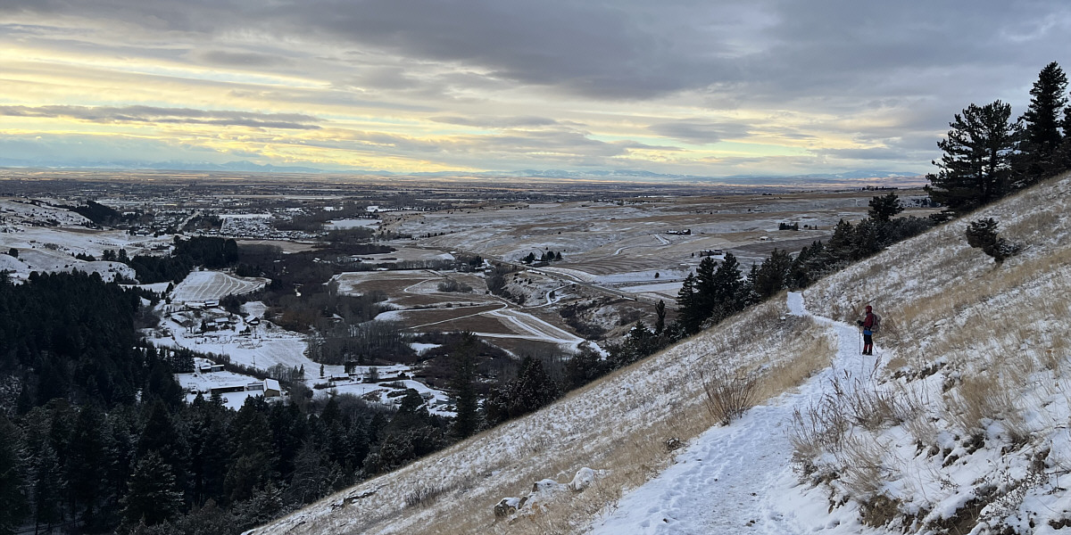
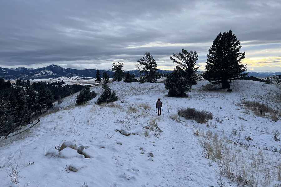
Zosia descends the more scenic south half of the loop trail. The city of Bozeman is visible at left.
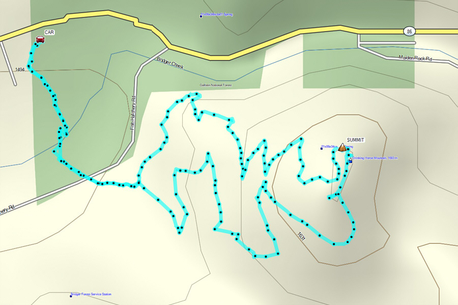 |
Total Distance: 4.0 kilometres Round-Trip Time: 1 hour 47 minutes Cumulative Elevation Gain: 204 metres |