BOU AVENUE
Tuktakamin Mountain

Getting a head start on the Canada Day long weekend, Zosia Zgolak and I hiked up Tuktakamin Mountain near Falkland, British Columbia on 28 June 2024.  Numerous trip reports for this seemingly popular hike are available online, and although the summit can be accessed by a well-maintained service road, the Vernon Outdoors Club deserves a lot of credit for building an alternative loop trail which grants a more esthetic hiking experience on the mountain.

From Highway 97, turn south onto Pinaus Lake Road (2WD gravel) 35.0 kilometres southeast of the junction with Trans-Canada Highway or 10.0 kilometres west of Falkland.  Drive 5.9 kilometres and keep straight (left) at a T-junction.  Drive an additional 5.3 kilometres to the signed trailhead.  There is a small pullout here with room for one vehicle.  Some sections of Pinaus Lake Road are moderately rutted and may be difficult to drive in wet conditions; a high-clearance vehicle is not absolutely necessary but is highly recommended.

From the trailhead, Zosia and I gained elevation right away on a steep trail which essentially runs up the west ridge of Tuktakamin Mountain.  Higher up where the forest thins out, the trail is less defined, but trail markers helped us stay on track.  The route is fairly obvious anyway as it follows the west ridge all the way to the summit which was the site of a former fire lookout.  Telecommunications infrastructure now crowd the summit, but there are some picnic tables to the southeast which are ideal for a snack break with a view.

For our descent, Zosia and I followed markers down the south side of the summit and eventually intersected the service road.  Rather than take the continuation of the loop trail over a subsidiary bump which would have entailed some extra distance and elevation gain, we opted to simply walk back along the road to where our car was parked beside the trailhead.  The ensuing drive back to the highway was uneventful.
It was tempting to just keep driving up the road! 
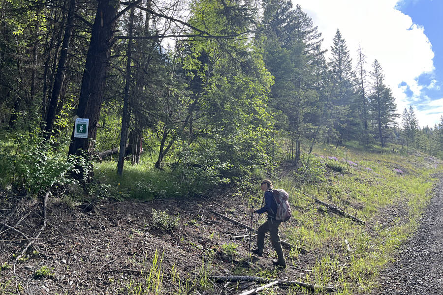
Zosia begins hiking from the signed trailhead beside a service road which continues all the way to the summit.
Or just keep going up!

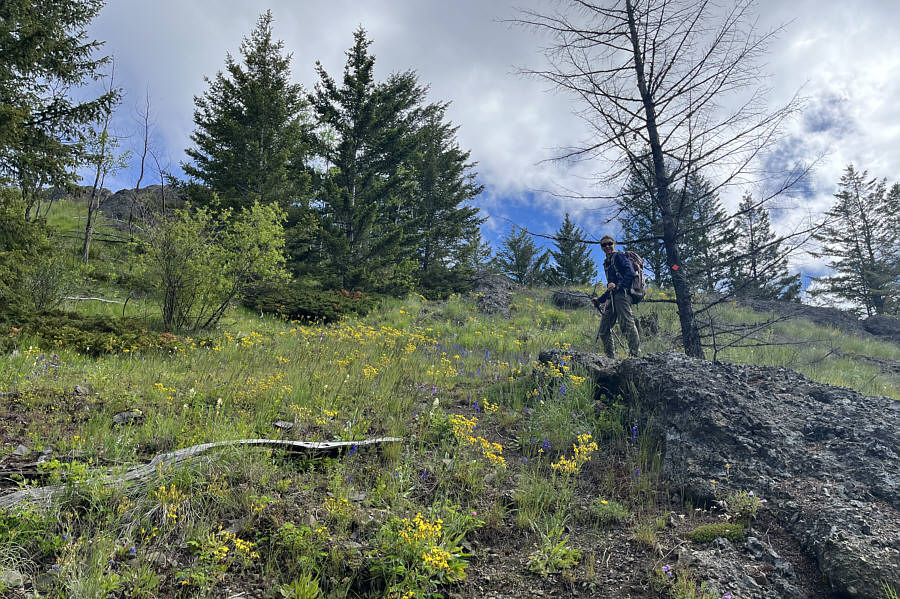
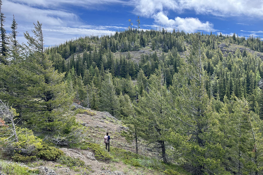
The steep route is not always obvious, but trail markers help point the way.

Hands-in-the-pocket type scrambling, that is! 
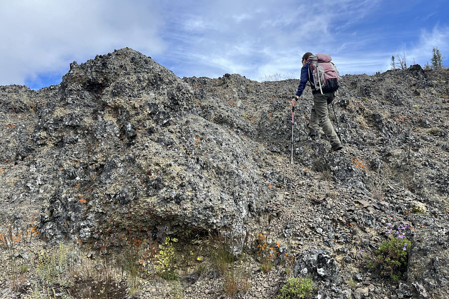
Some parts of the ridge are quite rocky and may require some easy scrambling.
That's okay; we're not in any rush! 
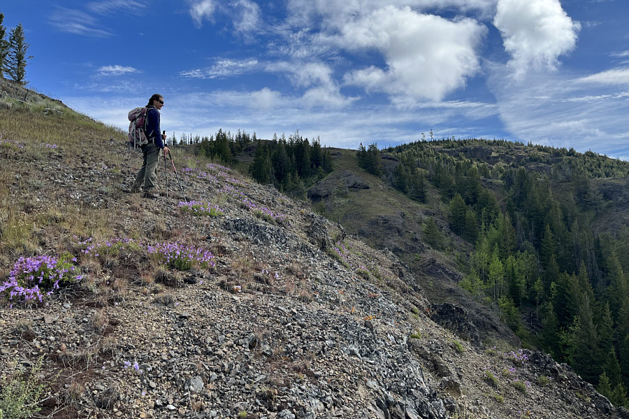
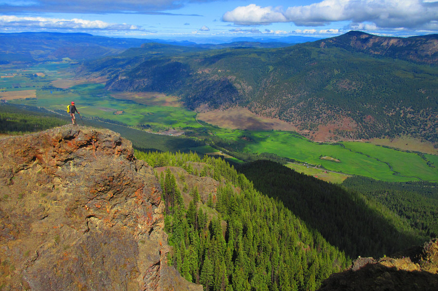
Zosia gets her first glimpse of the summit (right) which is farther away than it appears.

It's lower than Tuktakamin Mountain but looks like a worthwhile objective for the future.

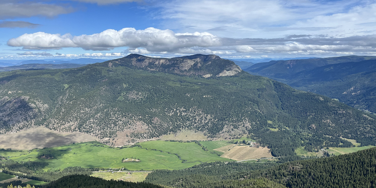
Estekwalan Mountain is visible to the northwest.


Worth a short detour!

There are some impressive cliffs on the north side of Tuktakamin Mountain.

Photo courtesy of Zosia Zgolak

Thank you, Vernon Outdoors Club, for cutting a nice trail through the surprisingly dense vegetation here. Zosia drops down into a forest-choked dip along the ridge just before the summit.
Too bad about all the ugly antennas, but I guess it's better than standing in a rain cloud! 
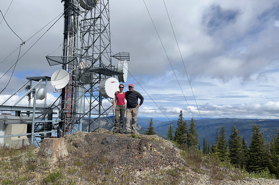
Zosia and Sonny stand on the summit of Tuktakamin Mountain (1780 metres).
Fortunately, the ho-hum views aren't really spoiled much by the big green dildo! 
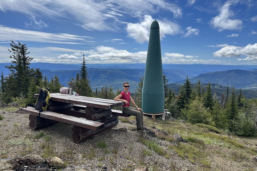
Zosia stops for a break at a convenient picnic table near the summit.
Too bad we can't see Pinaus Lake from here. 
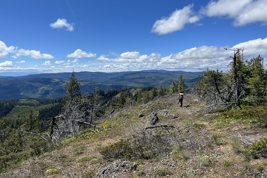
Zosia heads down the south side of the summit.
An excellent approach to life in general! 
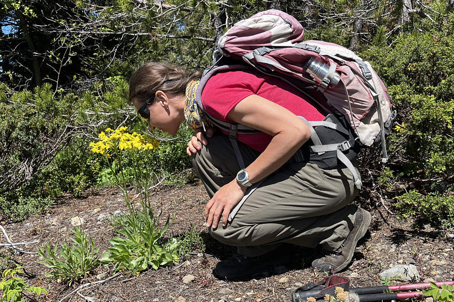
Zosia is always willing to stop and smell the flowers on any hike.
Keepin' it easy! 
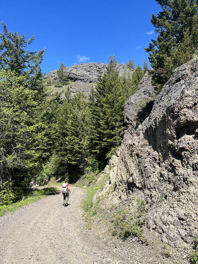
Zosia heads back to the trailhead along the service road.
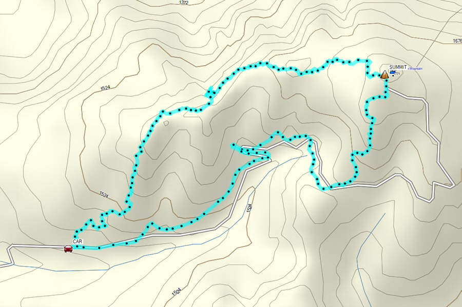
Hardly worth the effort to get there, but at least we didn't drive all the way to the summit! Total Distance:  4.4 kilometres
Round-Trip Time:  2 hours 54 minutes
Cumulative Elevation Gain:  307 metres

GPX Data