Photo courtesy of Zosia Zgolak
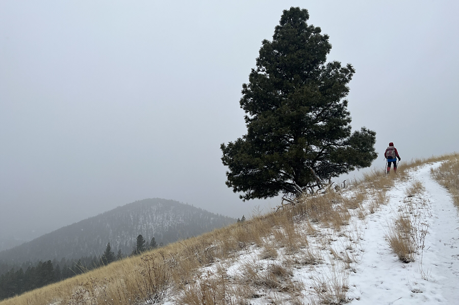
Higher up the south slopes of University Mountain, Zosia catches a glimpse of Ginny Mountain.
|
|
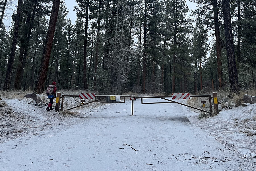
Zosia begins hiking from a seasonal gate at the entrance to Pattee Canyon Picnic Area. |
|
|
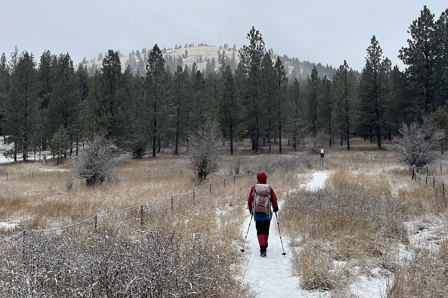
The south ridge of University Mountain can be seen in the distance as Zosia walks through a seasonal disc golf course near the picnic area. |
|
|
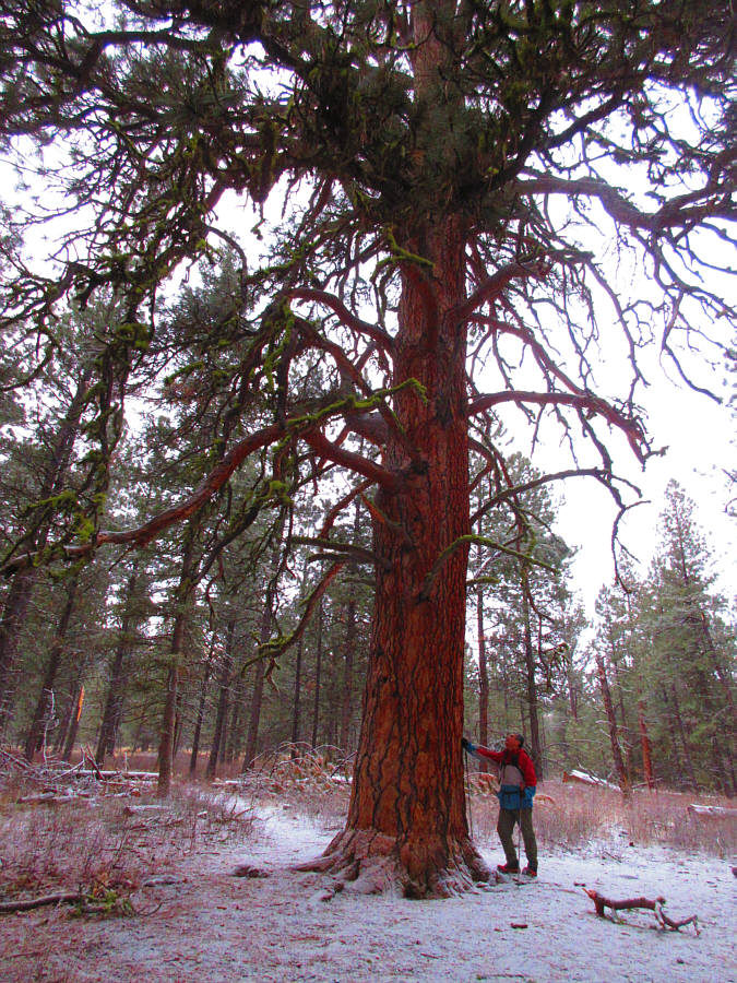
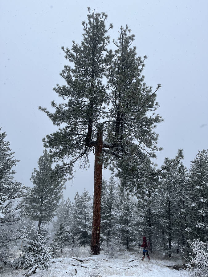
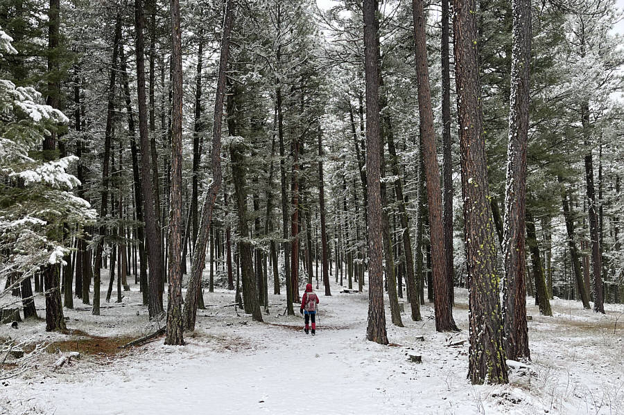
Sonny stands under an impressive tree
on his way up the lower south slopes of University Mountain. Photo courtesy of Zosia Zgolak |
|
|
Higher up the south slopes of University Mountain, Zosia catches a glimpse of Ginny Mountain. |
|
|
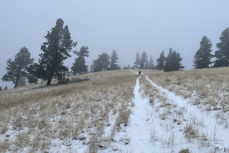
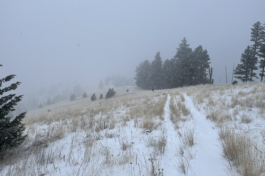
Most of the ascent on the upper mountain is little more than a long plod up a snowy double track. |
|
|
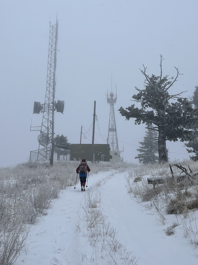
Antennas and buildings clutter the top of University Mountain. |
|
|
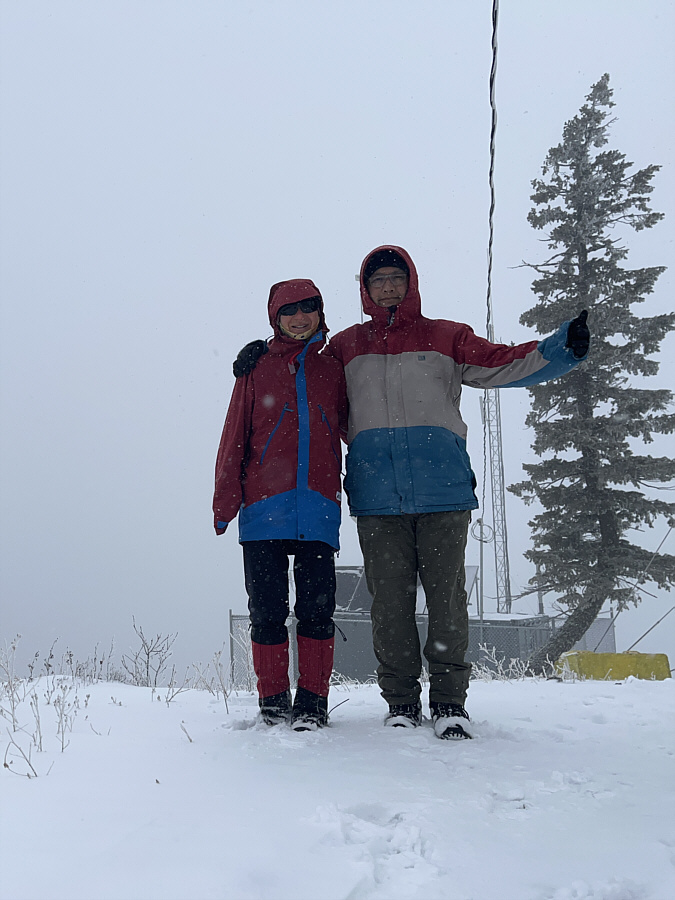
Zosia and Sonny stand on the true summit of University Mountain (1768 metres). |
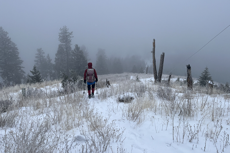 |
Leaving the summit of University Mountain, Zosia descends the west ridge. |
 |
On this day, far-reaching views are limited on the normally scenic west ridge. |
 |
Zosia approaches Ginny Mountain which is barely visible through the trees ahead. |
 |
Sonny and Zosia stand on the viewless summit of Ginny Mountain (1430 metres). |
 |
This peculiar pine tree on the north side of Ginny Mountain has branches bent at right angles. |
 |
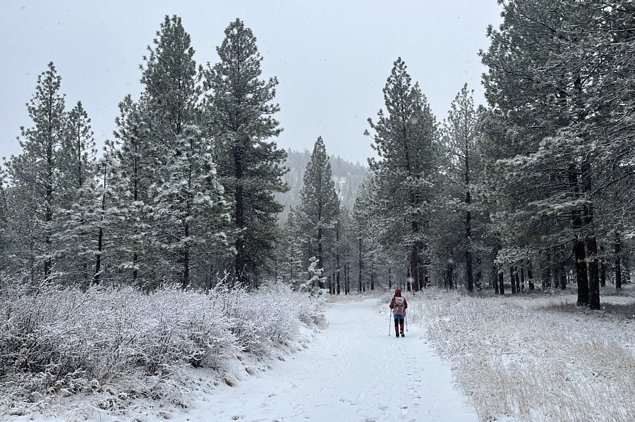
Zosia follows a pleasant trail leading back to the picnic area. |
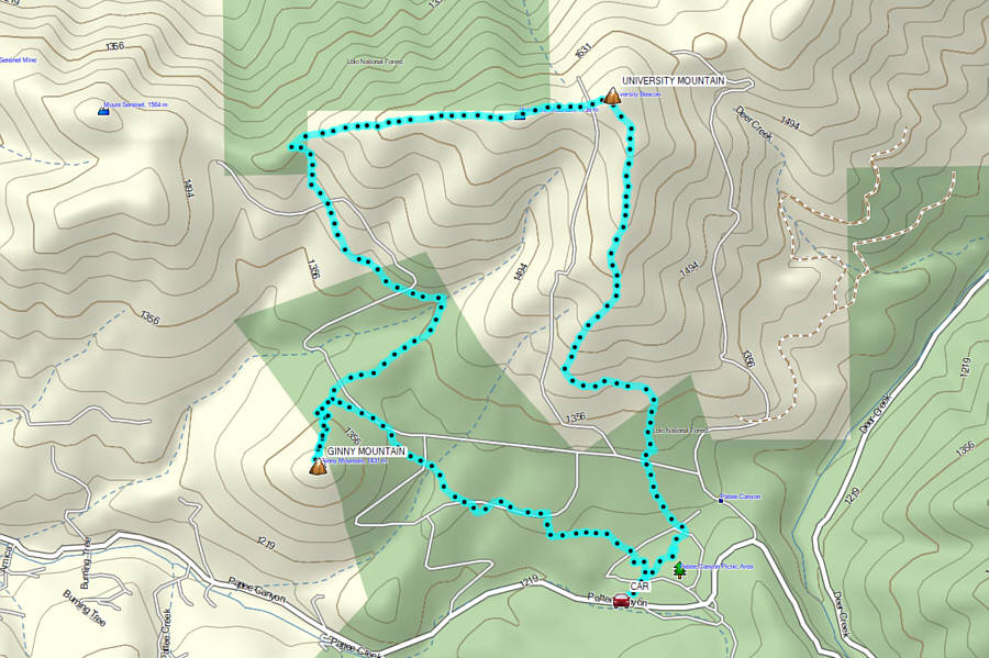 |
Total Distance: 11.9 kilometres Round-Trip Time: 5 hours 16 minutes Cumulative Elevation Gain: 614 metres |