![]() |
Ali, Asieh and Zosia gear up on the side of the highway in Kootenay National Park. |
![]() |
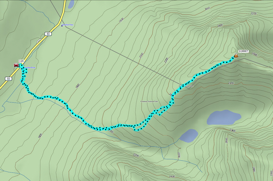
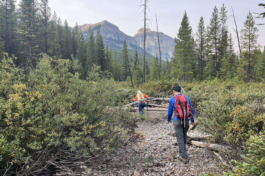
The dry river bed saves some bushwhacking near the start of the trip but also meanders quite a bit. |
![]() |
Finding this access trail is key to the approach for Vista Peak. |
![]() |
The west ridge of Storm Mountain towers over Asieh who is still on the trail. |
![]() |
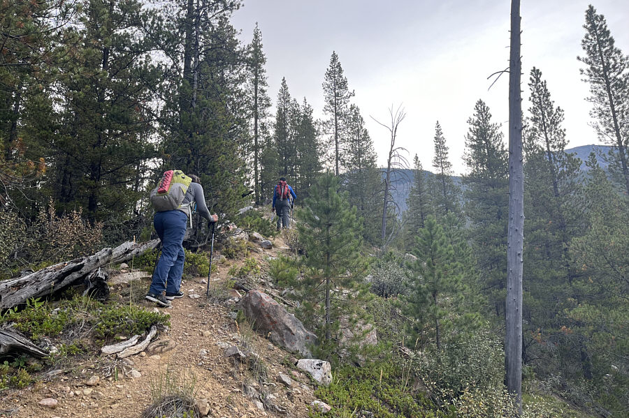
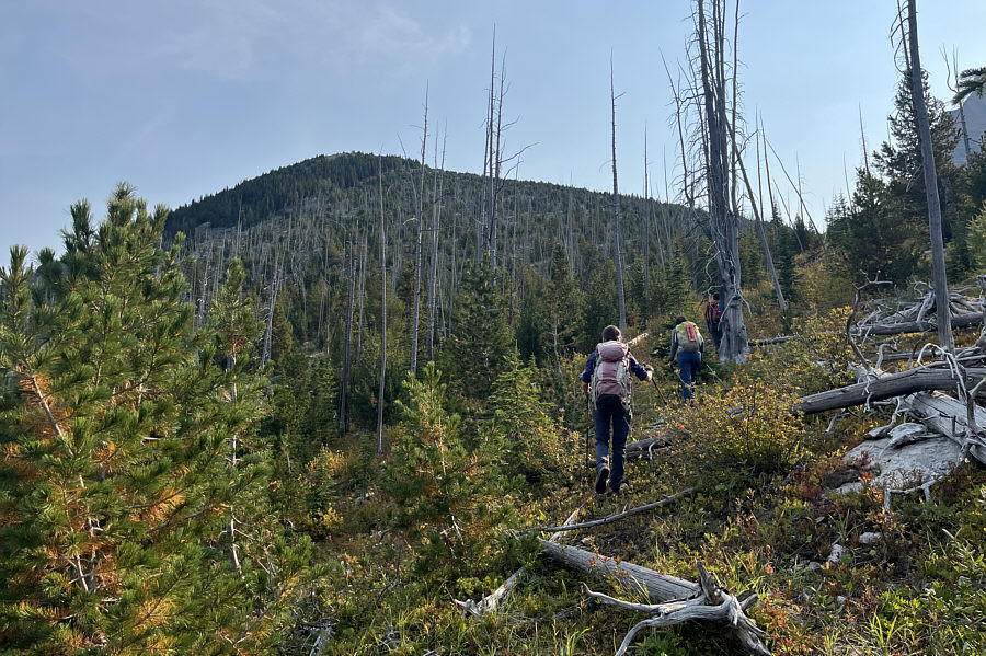
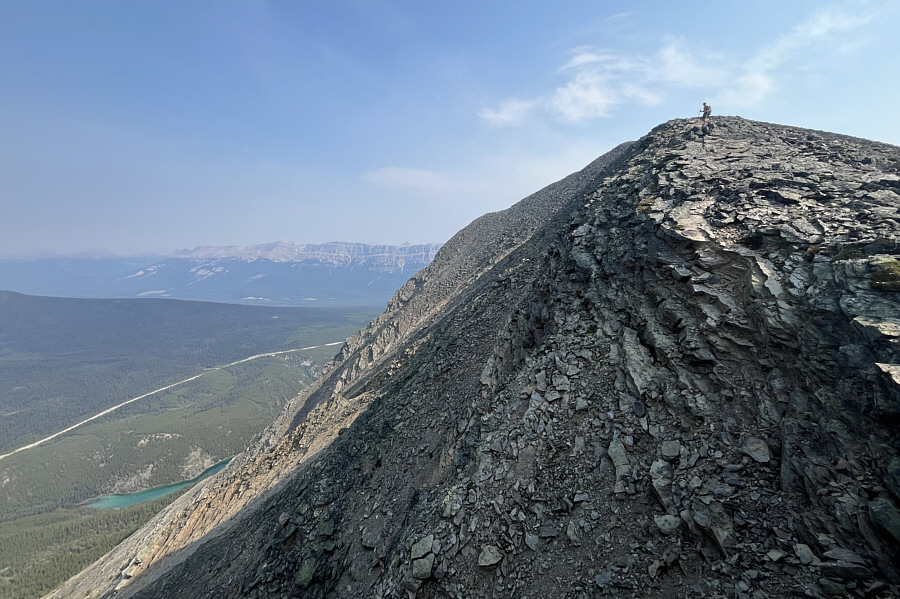
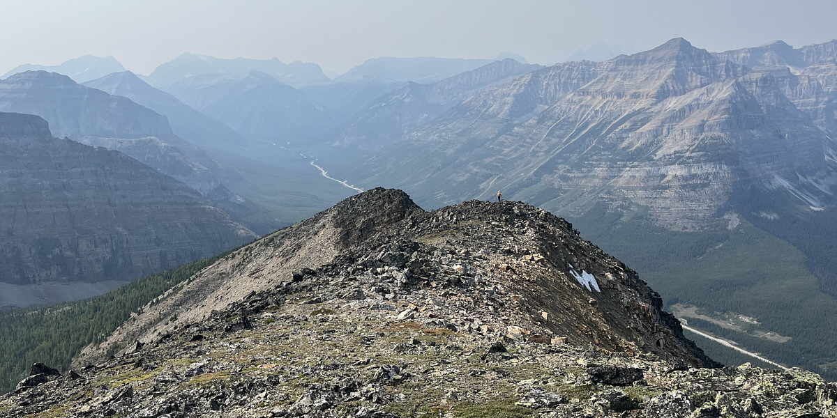
The group hikes off-trail aiming for the ridge ahead. |
![]() |
The trees begin to thin out as Asieh climbs higher up the ridge. |
![]() |
Zosia, Ali and Asieh enjoy pleasant hiking on the upper ridge. Standing out in the background is Mount Whymper. |
![]() |
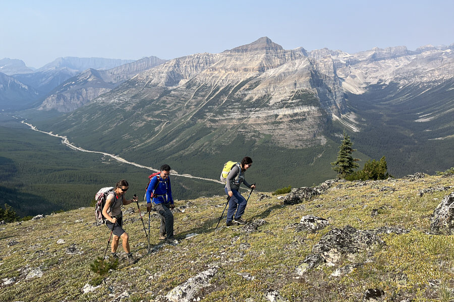
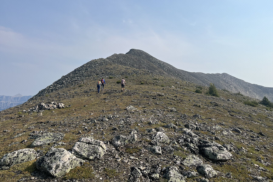
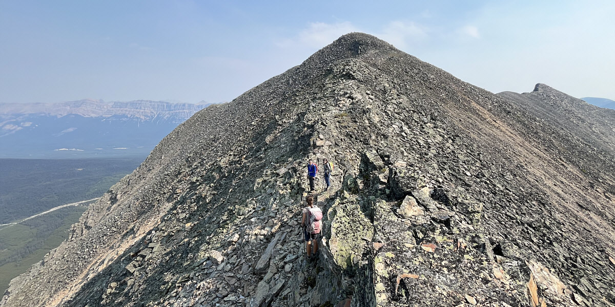
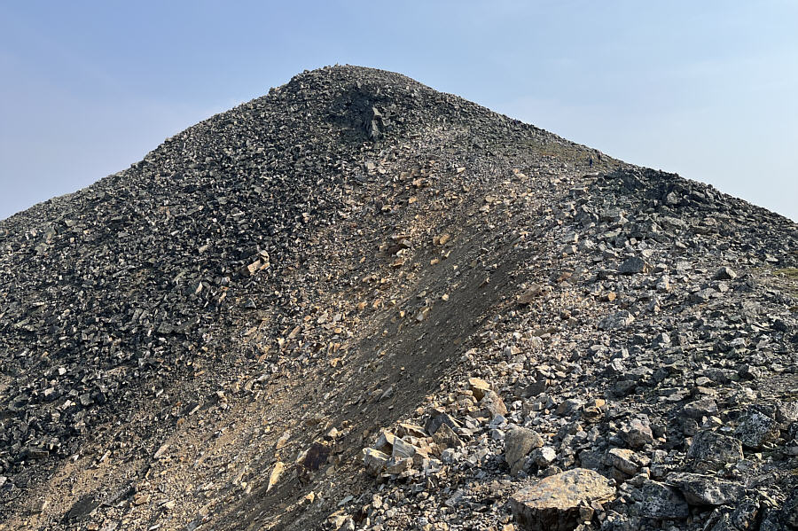
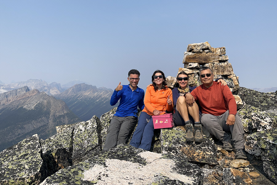
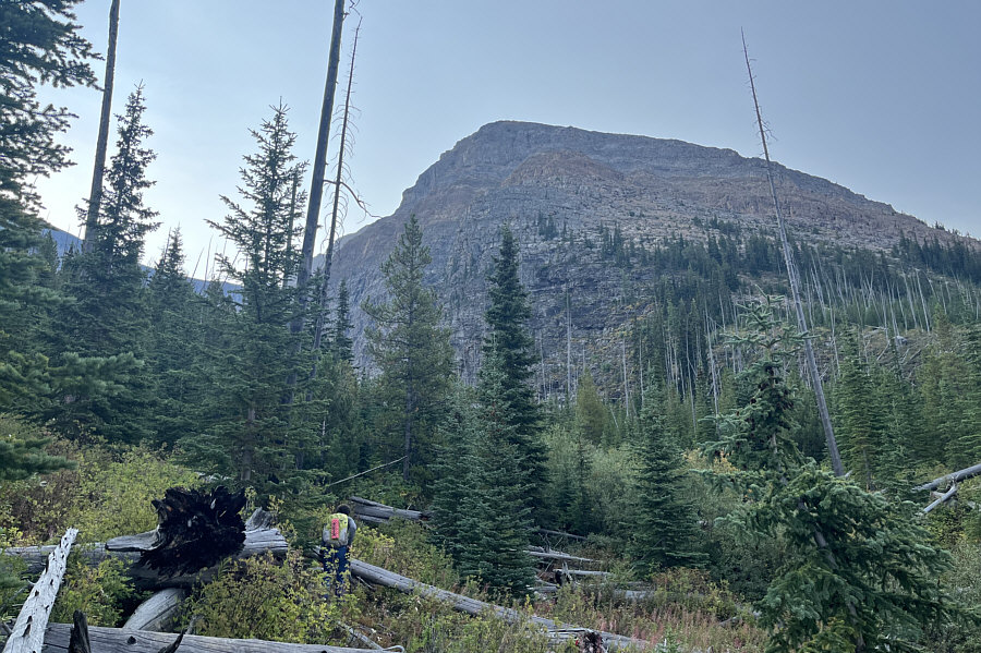
The remainder of the ascent is generally straightforward from here, but the actual summit is still not visible. |
![]() |
A sliver of Vista Lake can be seen at bottom left. |
There are a couple of short down-climbs along the ridge just before the summit.
![]() |
The group makes its final push up to the summit. |
![]() |
Part of Arnica Lake is visible below the eastern outlier of Vista Peak. |
![]() |
Ali, Asieh, Zosia and Sonny sit on the summit of Vista Peak (2708 metres). |
The group makes its way back down the ridge. Note The Goodsirs barely visible on the right horizon just over the left shoulder of Mount Whymper.
![]() |
Here is a complete view of two tarns below the northwest side of Storm Mountain. |
![]() |
Total
Distance: 9.0 kilometres Round-Trip Time: 8 hours 30 minutes Cumulative Elevation Gain: 1065 metres |