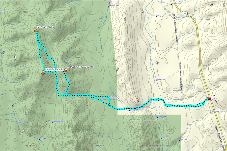
Our starting point was a gated service road
(50.00927, -114.14358) which heads west from Highway 22 about 22.0
kilometres south of the junction with Highway 533 or 4.9 kilometres north
of the junction with Highway 520. Although the gate was unlocked,
we all parked just before it and began our hike by proceeding up the
service road which turns left and ends at a fenced compound. Before
entering the compound, we abandoned the road and headed westward and
downhill through light bush. We started our hike within Porcupine
Hills Public Land Use Zone but soon entered a grazing lease (Agricultural
Disposition GRL33399). When I checked the Alberta Recreation Access
On Agricultural Public Lands
website
several times up to the day before our trip, there was "No Contact
Required" for accessing this particular lease. However a few days
later after our trip, I revisited the website out of curiosity and
noticed that the conditions had changed; it is now necessary to get
permission from the leaseholder for recreational access. It is
possible that this is a dynamic situation that changes throughout the
year, and it is best to check the website for the most current access
policy (there is also a mobile application--Canadian Land Access Systems
or CLAS--available, but usage requires a yearly fee).
Within the grazing lease, we descended to a vast grassy meadow and had to
tiptoe around some marshy spots before gaining a road rising high above
the north bank of Callum Creek. We then exited the grazing lease at
a gate, and continuing westward along the road, we crossed Callum Creek
before reaching a power line right-of-way which is the eastern boundary
of Bob Creek Wildland Provincial Park. I am uncertain about the
status of the section of land between the grazing lease and the
right-of-way, but I presume that it is public crown land since I did not
see any "No Trespassing" signs in the vicinity. In any case, we
crossed the power line right-of-way and made our way up a drainage before
fortuitously stumbling across an old road which led us efficiently to the
crest of Whaleback Ridge (Chester turned around at this point and
returned to the trailhead by himself). We left the road here and turned
northward to climb up the ridge crest. The top of Whaleback Ridge
North is partly covered with trees, and it is a little difficult to
pinpoint the actual highest point. In the end, we simply picked one
of two likely candidates and took a group photograph there before finding
a suitably scenic spot to take a break. During this break, we
helped Marta celebrate her upcoming 60th birthday in July (she will be in
Japan then, hence the early celebration).
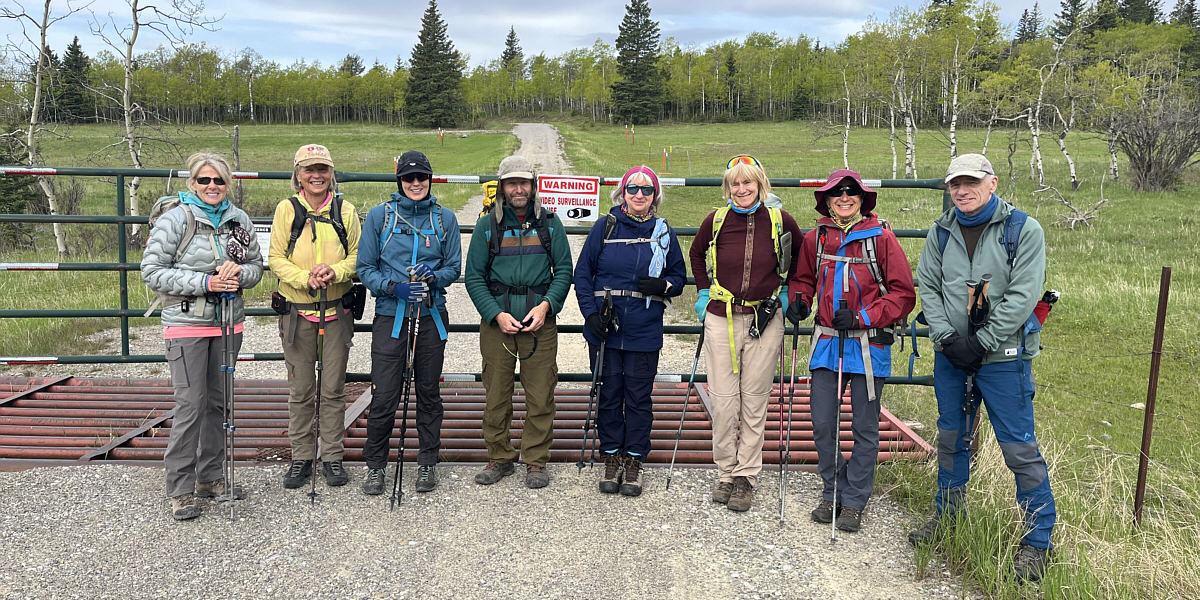
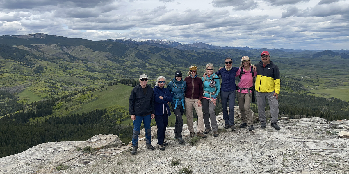
Gathered at the trailhead are (L to R) Tamara, Julie, Racquel, Chester, Agnieszka, Marta, Zosia, and Jacek.
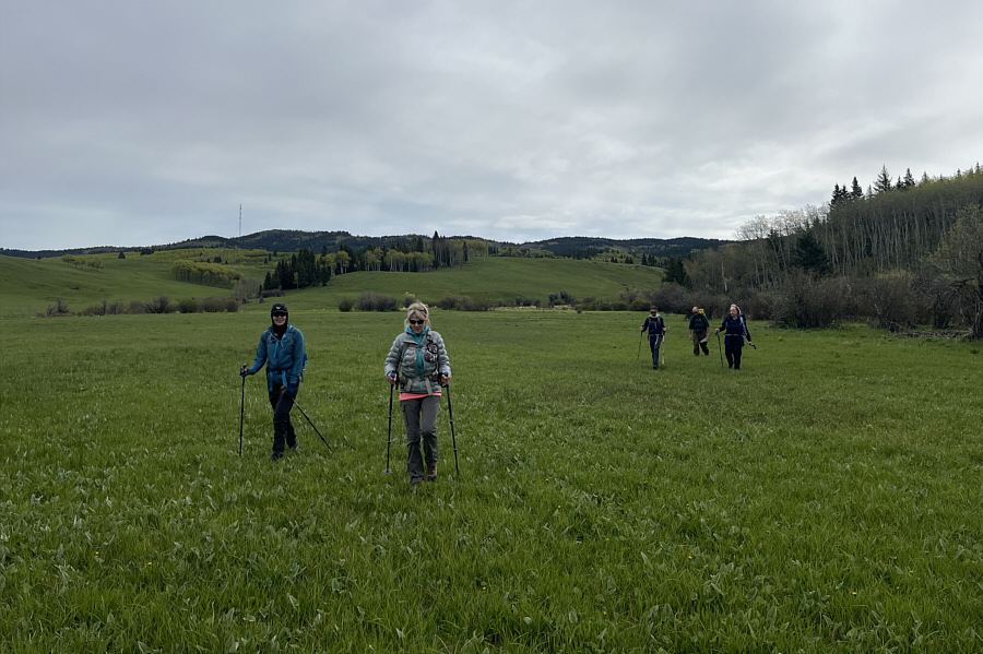 |
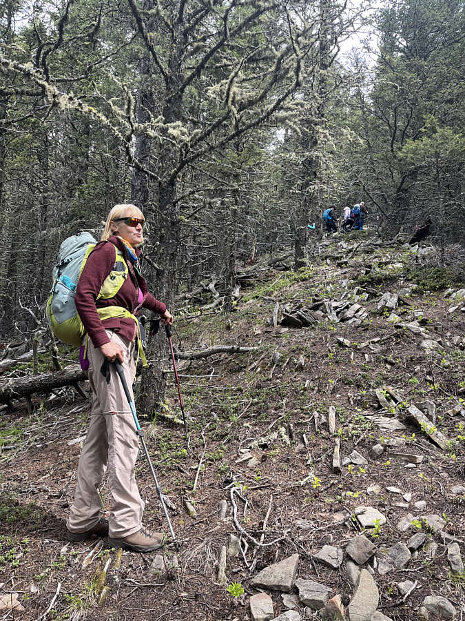
After descending through light forest from the highway, the group crosses a vast grassy meadow. |
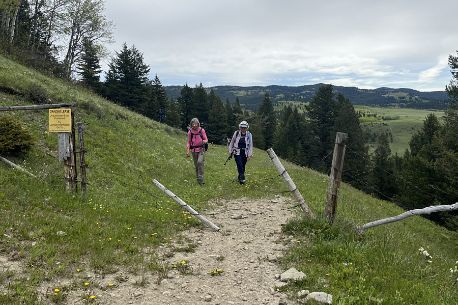 |
This fence and gate high above Callum Creek marks the boundary of a grazing lease through which the group has just walked. Depending on the time of year or the presence of livestock, it may or may not be necessary to contact the leaseholder for permission to gain access to this lease. |
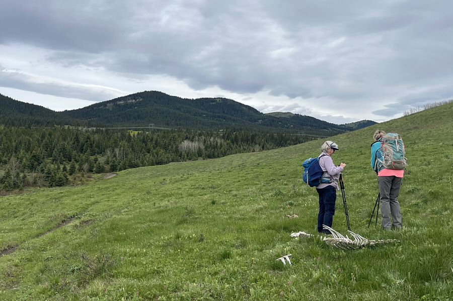 |
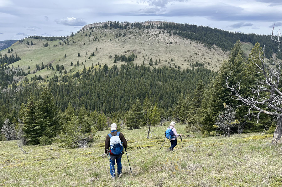
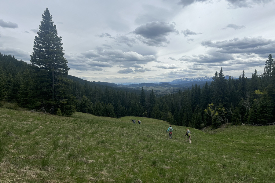
Agnieszka and Tamara inspect some animal skeletons strewn about the grass. Visible in the distance is Whaleback Ridge North. |
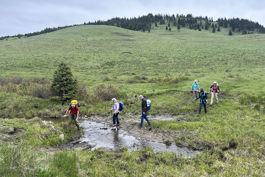 |
The group tries to keep their feet dry while crossing Callum Creek. |
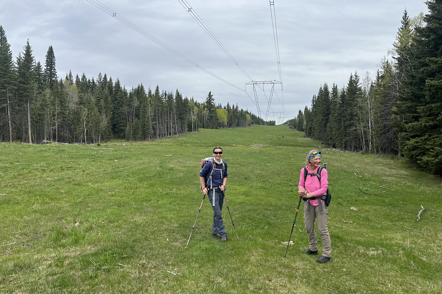 |
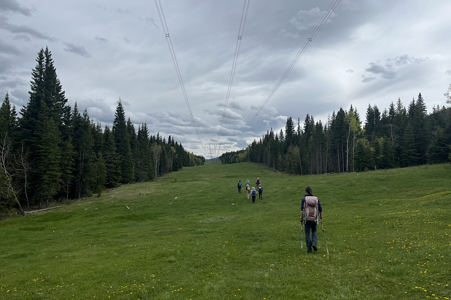
Zosia and Julie arrive at a power line right-of-way which, at this point, is the eastern boundary of Bob Creek Wildland Provincial Park. |
 |
The group stumbles onto a convenient old road leading to the crest of Whaleback Ridge. |
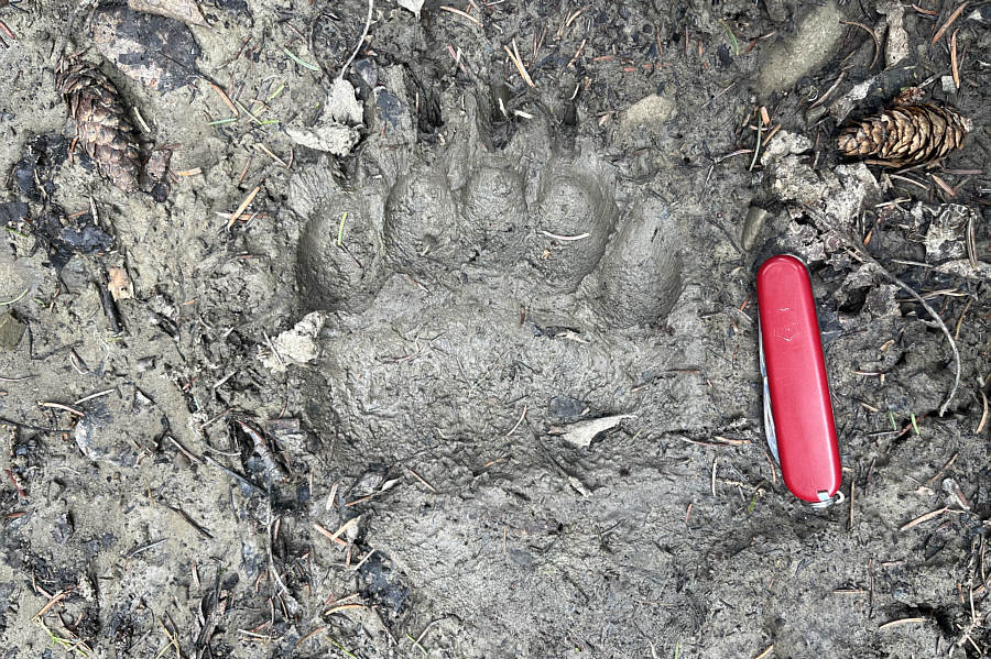 |
This black bear paw print looks very fresh. |
 |
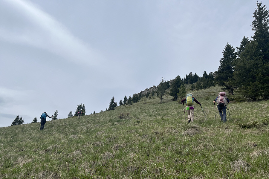
Marta follows the rest of the group up the crest of Whaleback Ridge. |
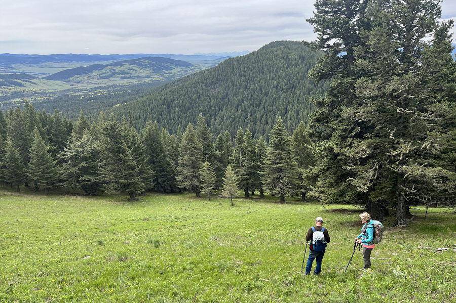 |
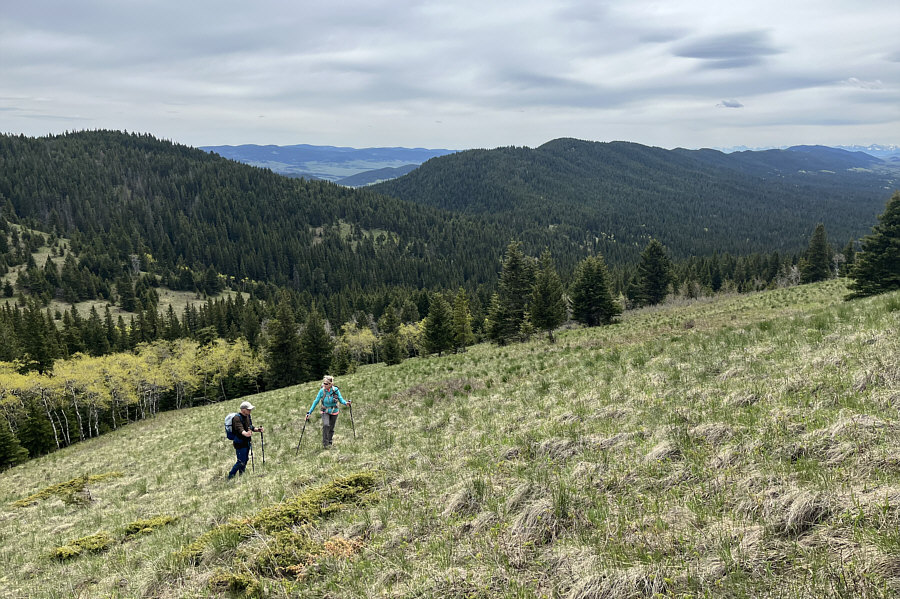
Jacek and Tamara pause on an open slope with views of Black Mountain at distant left. |
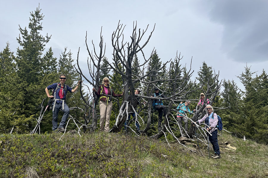 |
The group gets tangled in some deadwood on the high point of Whaleback Ridge North (1769 metres). |
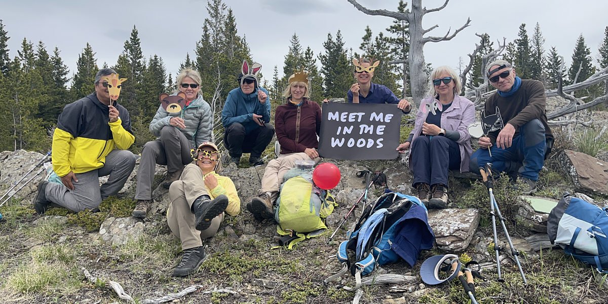
Near the top of Whaleback Ridge North, the group celebrates Marta's upcoming 60th birthday.
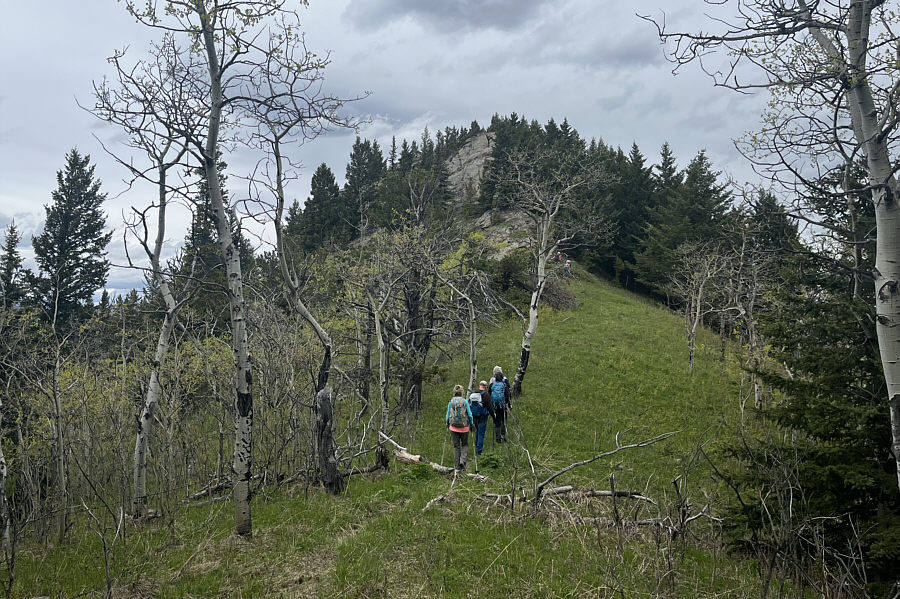
When we resumed hiking, we dropped down the west slopes of Whaleback Ridge to a forested dip. We crossed another unexpected old road here and then climbed up the steep eastern slope of Chimney Rock Ridge. The ridge crest here is guarded by a lengthy cliff band, but we found a weakness in the middle that we easily surmounted. Once we gained the crest, we turned south and walked a short distance to tag the high point of Chimney Rock Ridge and the highest point reached for the day. We subsequently headed northward to tag Chimney Rock near the north end of the ridge. The 45-minute traverse was technically straightforward but somehow felt much longer possibly because of our growing fatigue. Despite being the shortest of all the objectives, Chimney Rock has probably the best unobstructed views, and we took another break here to enjoy the impressive panorama.
 |
From Whaleback Ridge North, Jacek and Agnieszka head toward Chimney Rock Ridge by dropping down into the intervening gap. |
 |
The group grinds up a steep grassy slope on the east side of Chimney Rock Ridge. |
 |
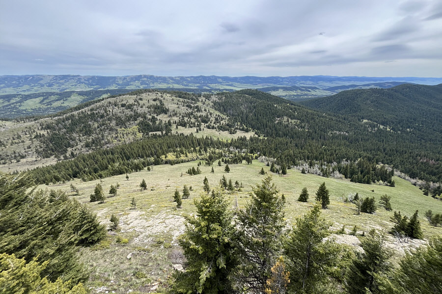
Whaleback Ridge stretches away to the south in this view from the east slope of Chimney Rock Ridge. |
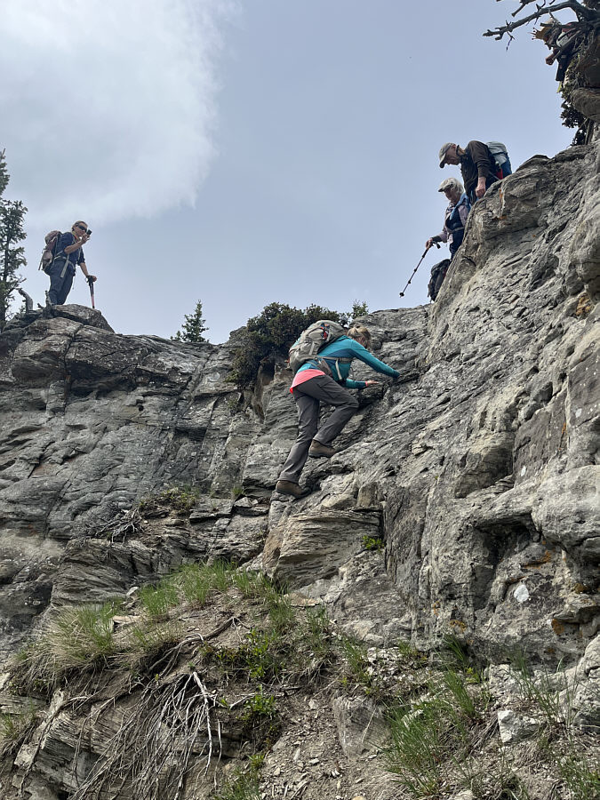 |
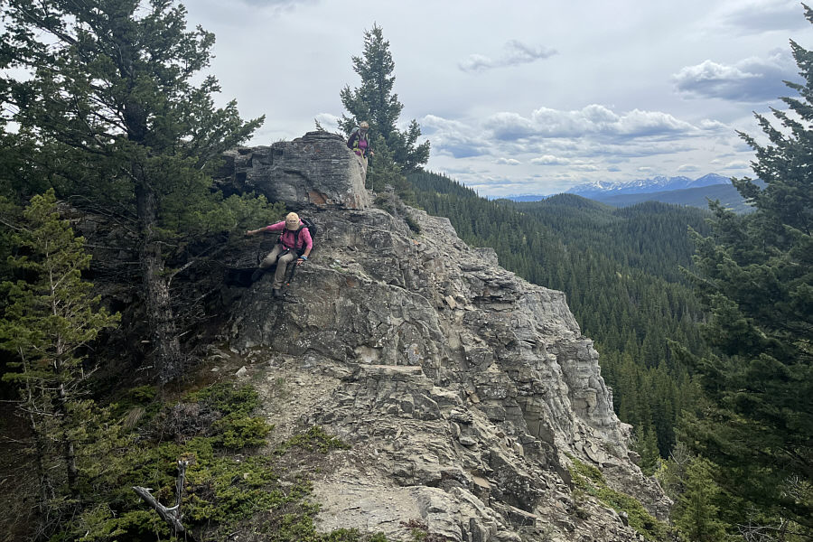
The rest of the group watches as Tamara scrambles up a weakness in the cliff band guarding the top of Chimney Rock Ridge. |
 |
Here is a look back at Whaleback Ridge North from Chimney Rock Ridge. |
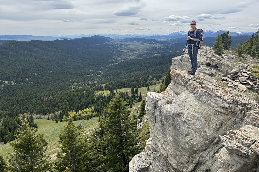 |
Zosia stands near a cairn on the highest point of Chimney Rock Ridge (1844 metres). |
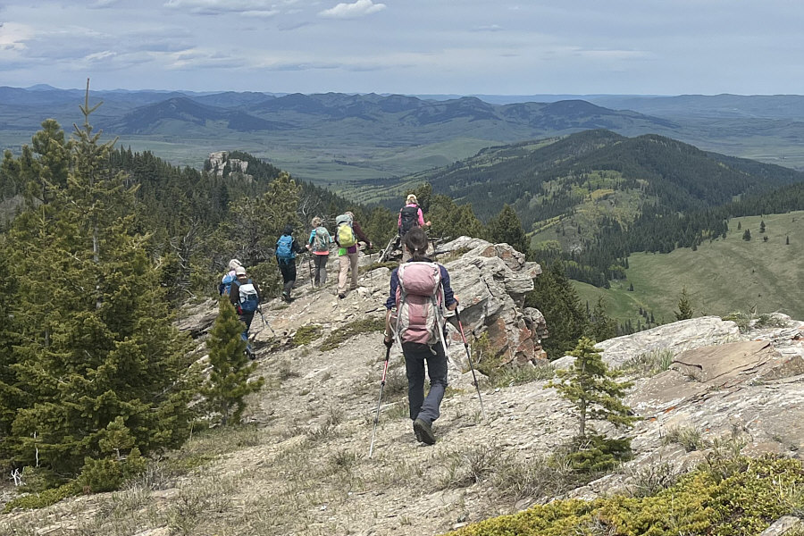 |
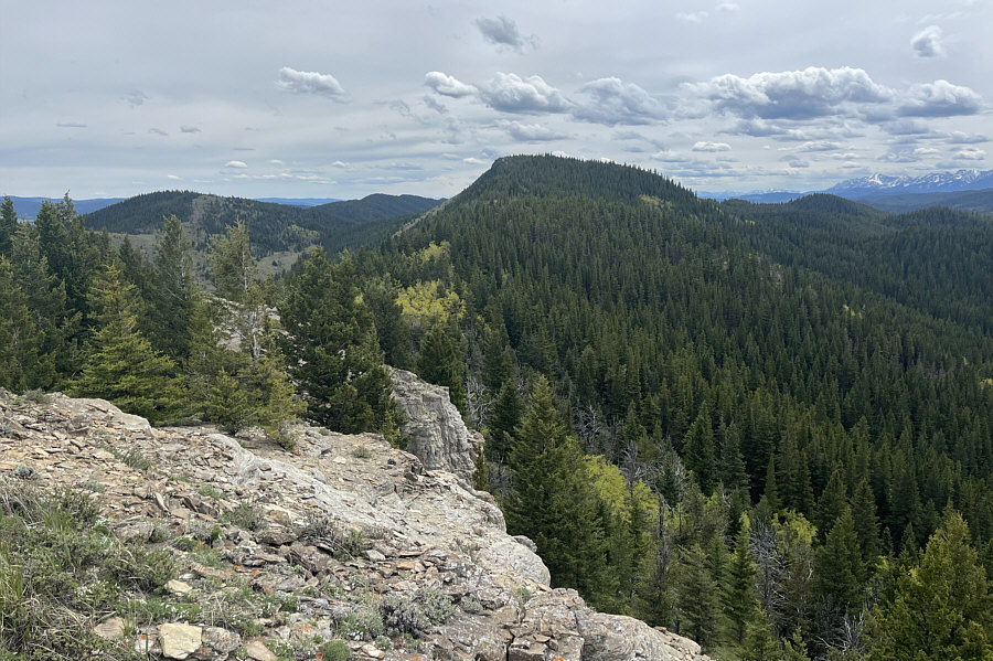
The group heads north along Chimney Rock Ridge. Chimney Rock itself is visible at left. |
 |
The group approaches the south end of Chimney Rock. |
 |
Julie and Marta take a more sporting route along a rocky section which can be bypassed on a good trail at far left in the photograph. |
 |
Here is a look back south at Whaleback Ridge North (far left) and Chimney Rock Ridge (centre). |
The group stands atop Chimney Rock (1763 metres).
For our return, we backtracked a short distance before
dropping off the ridge crest to avoid climbing back up Chimney Rock
Ridge. We then sidehill-bashed our way across the east slopes of
Chimney Rock Ridge aiming for the road in the forested dip we crossed
earlier. The sidehill-bashing here was probably the most unpleasant
stretch of off-trail hiking for the day, but in retrospect, it was not
too bad of a thrash. Upon regaining the road near the dip, we
followed it southward as best as we could until it essentially petered
out. Fortunately, we did not have to go far to re-connect with the
other road which goes over the crest of Whaleback Ridge. We easily
hiked back to the power line right-of-way, and from there, we essentially
retraced our steps back through the presumed crown land and the grazing
lease. The last climb back up to the service road was somewhat
annoying but not too strenuous.
Although I am dismayed that the access policy for the grazing lease has
changed, I really liked the route that we took to ascend Whaleback Ridge
North and Chimney Rock. I want to thank everyone who participated
and made this a thoroughly enjoyable outing, and a big special thank you
goes to Zosia for organizing the hike and Marta's birthday celebrations.
 |
With Whaleback Ridge North in sight, Jacek and Agnieszka sidehill-bash along the eastern slopes of Chimney Rock Ridge. |
 |
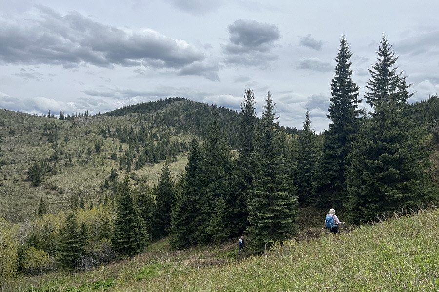
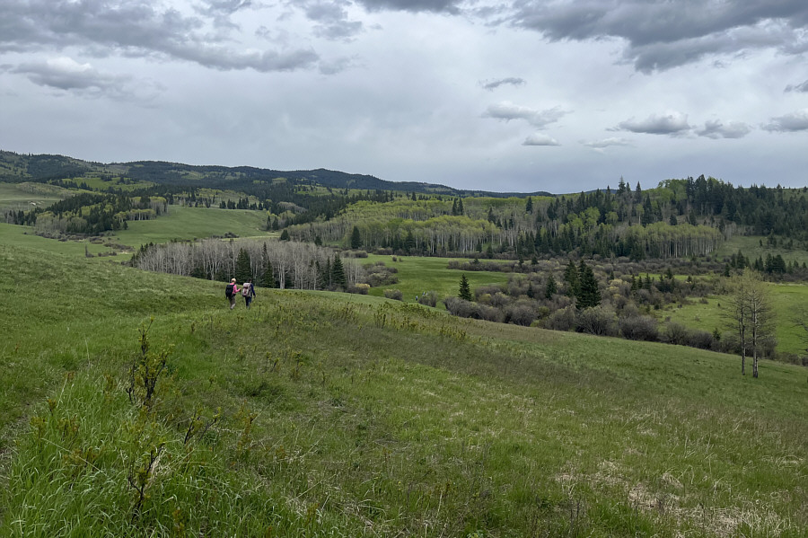
The group crosses another meadow while returning to the crest of Whaleback Ridge. |
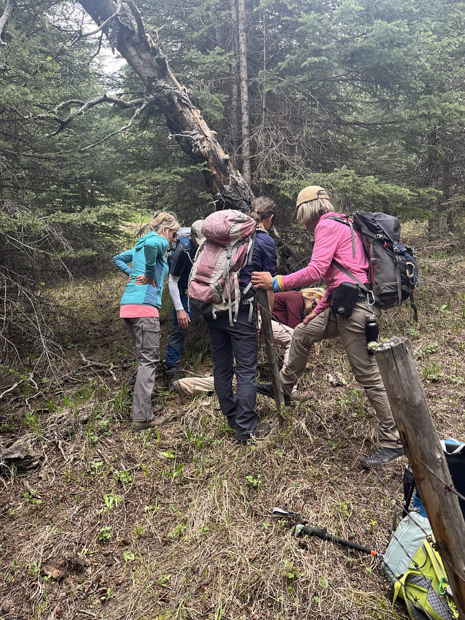 |
The group demonstrates good teamwork in getting through a barbed-wire fence. |
 |
The group returns to the power line right-of-way. |
 |
Back within the grazing lease, the group has to drop down into the grassy meadow at centre before climbing up to the highway (not visible here). |
 |
Total Distance: ~19.8 kilometres Round-Trip Time: 9 hours 44 minutes Cumulative Elevation Gain: 759 metres |