Photo courtesy of Zosia Zgolak
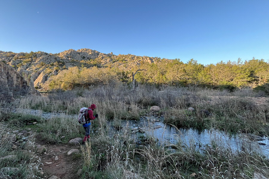
Zosia prepares to hop across West Cache Creek.
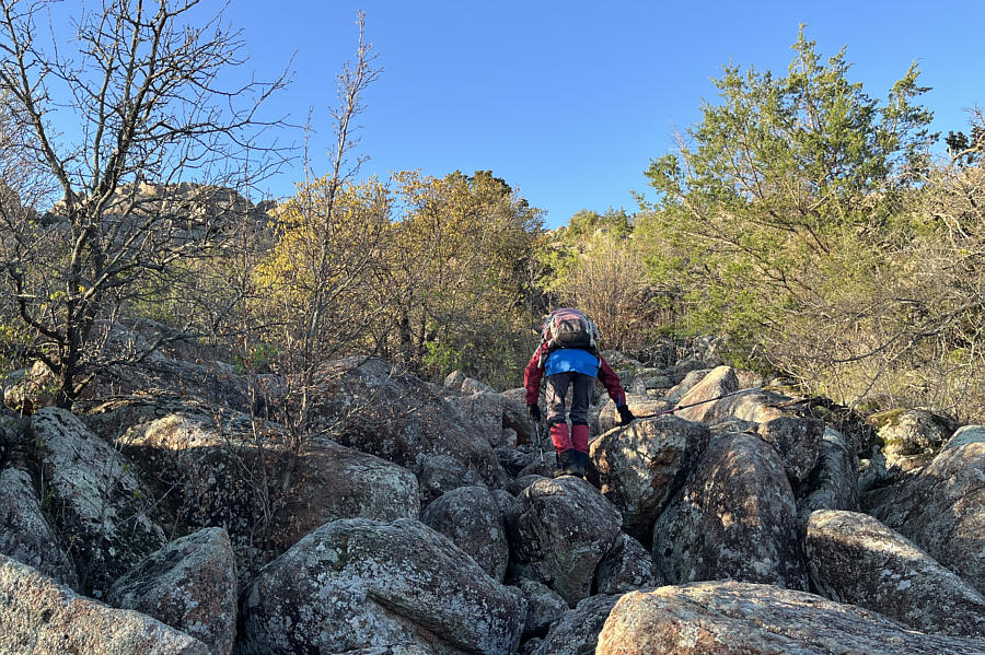
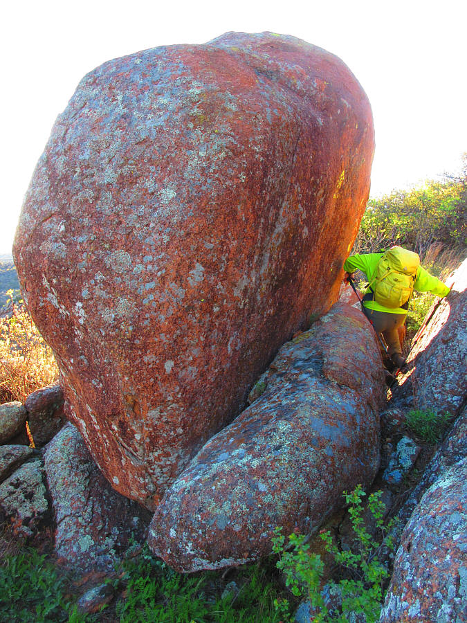
Photo courtesy of Zosia Zgolak
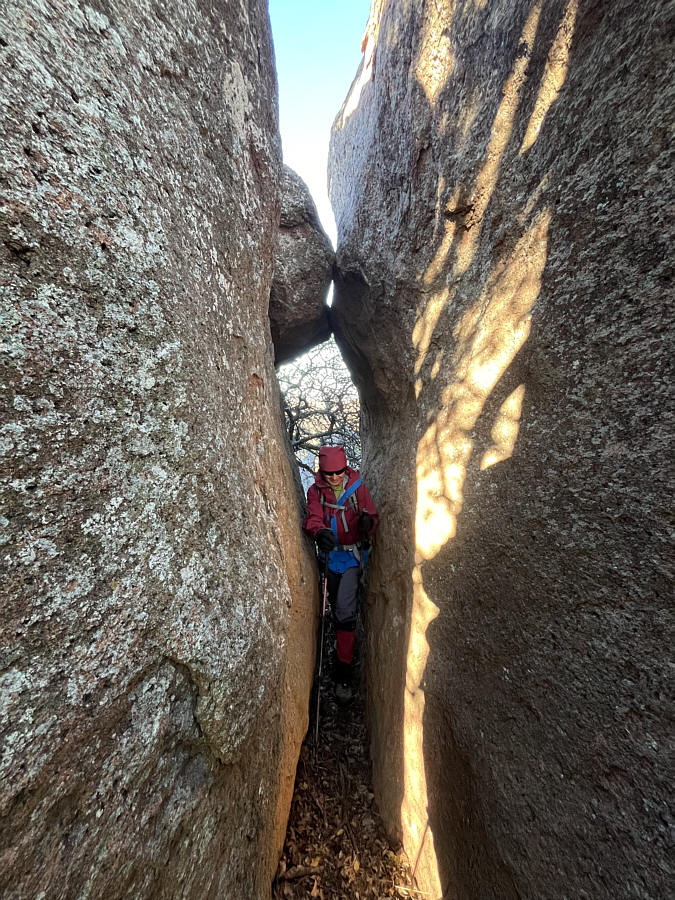
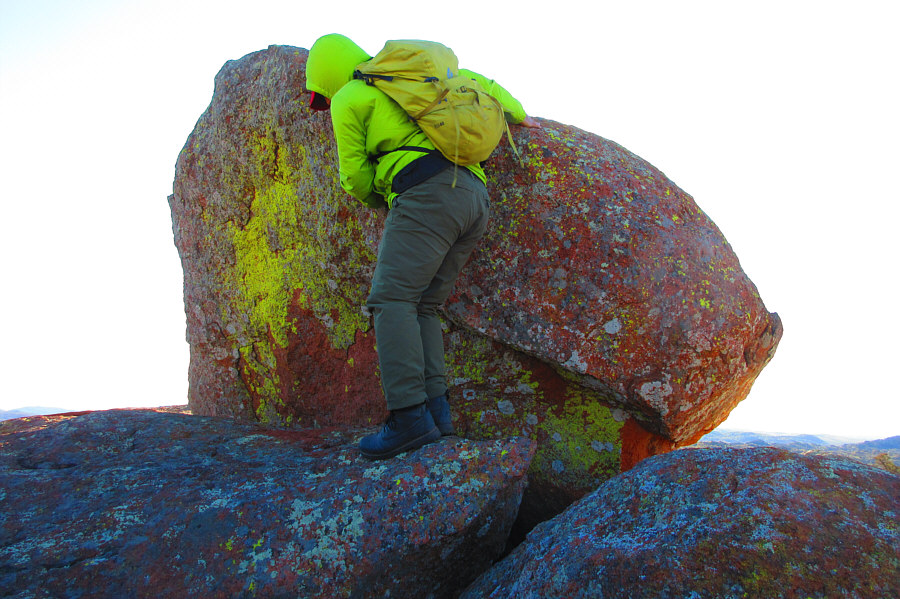
Photo courtesy of Zosia Zgolak
|
|
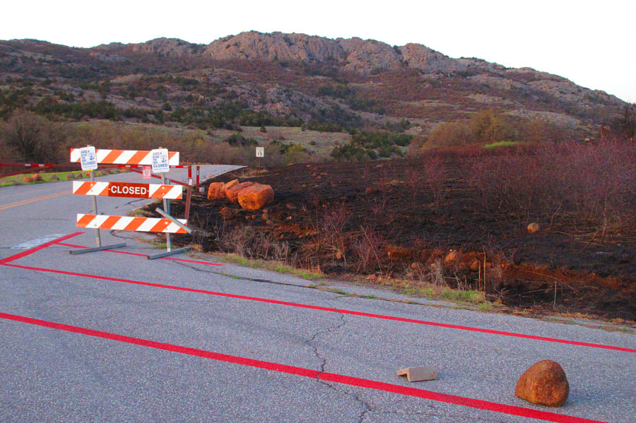
Because of a prescribed burn, Charons
Garden Wilderness is closed to the public on this day. Photo courtesy of Zosia Zgolak |
|
|
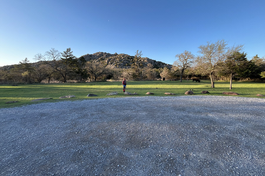
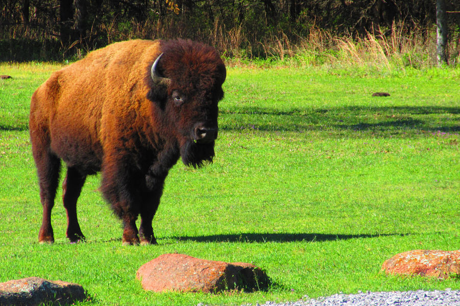
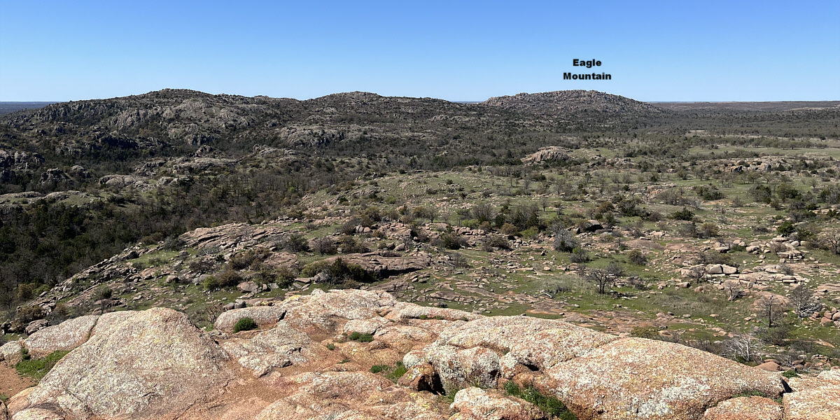
A couple of bison can be seen grazing near the Narrows Trailhead. In the background is Eagle Mountain. |
|
|
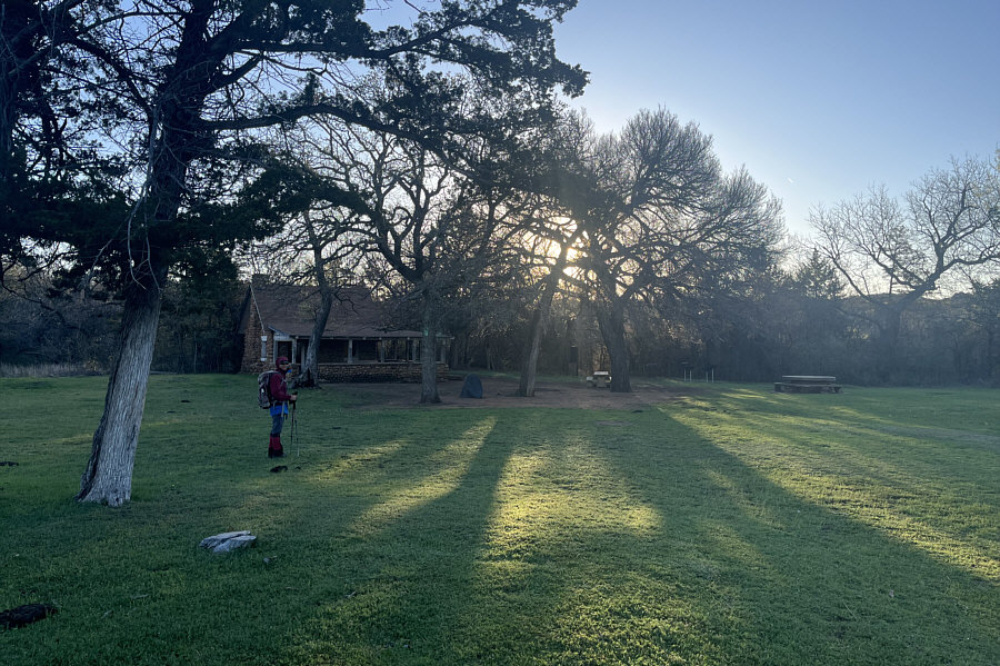
Historic Boulder Cabin serves as a rain shelter at the Narrows Trailhead. |
|
|
Zosia prepares to hop across West Cache Creek. |
|
|
Zosia scrambles over some boulders at the base of Eagle Mountain. |
|
|
Increasingly large boulders on the
upper mountain make route-finding challenging. Photo courtesy of Zosia Zgolak |
|
|
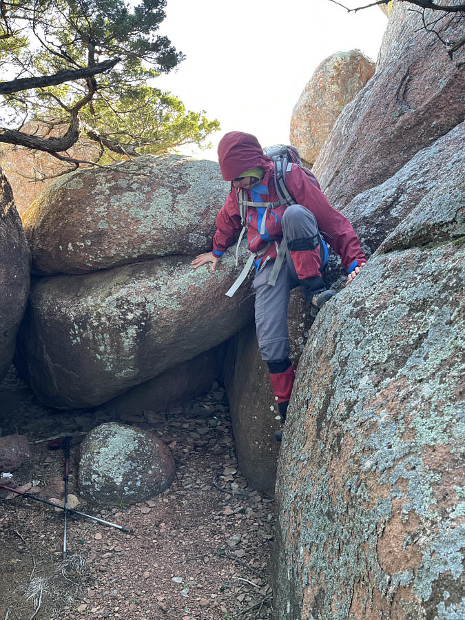
Zosia squeezes through a narrow gap between two boulders. |
|
|
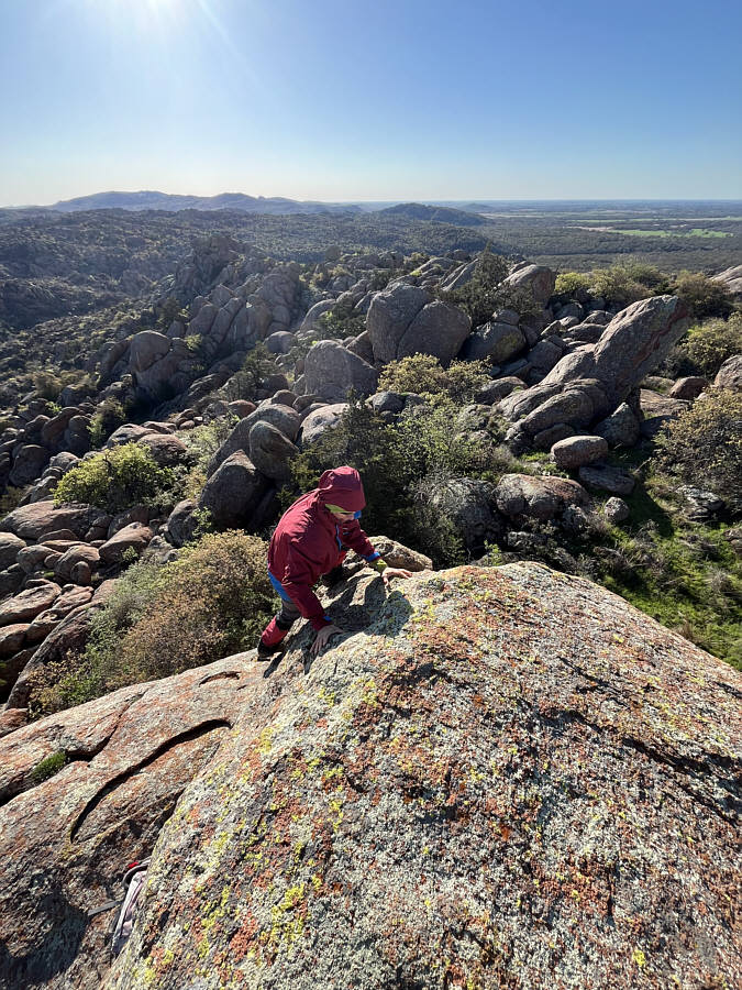
Sonny tries to find an easy way to
surmount this boulder which is possibly the summit of Eagle Mountain. Photo courtesy of Zosia Zgolak |
|
|
Zosia scrambles up what turns out to be a subsidiary high point (547 metres) but not the summit. |
In this view to the northwest from the subsidiary high point, the true summit of Eagle Mountain is the large boulder at left..
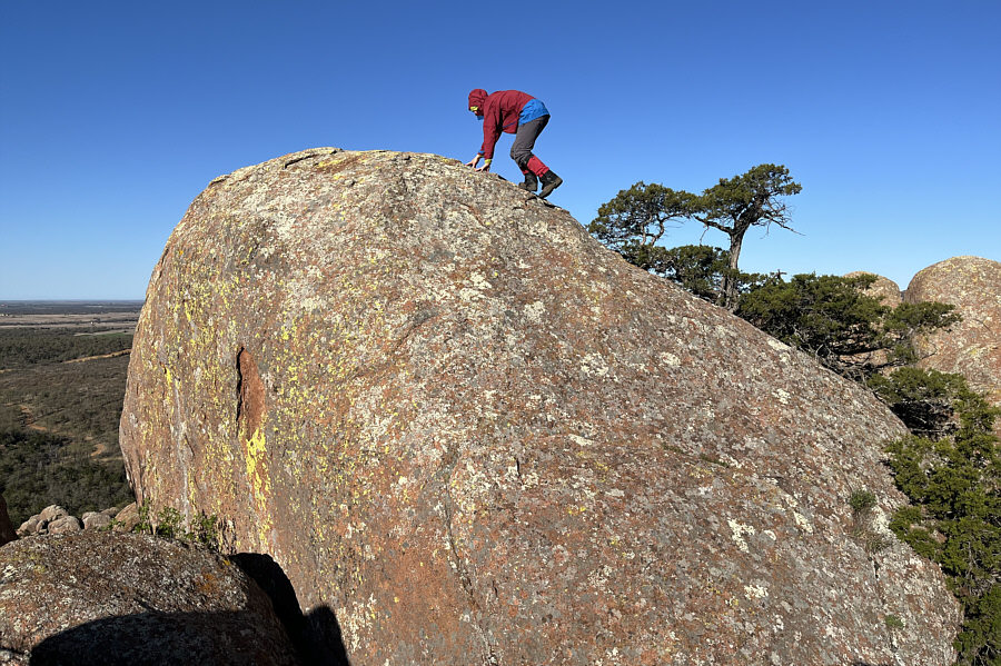 |
Zosia scrambles up the true summit of Eagle Mountain. |
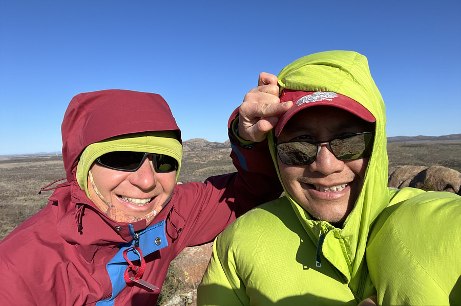 |
Zosia and Sonny take a selfie on the summit of Eagle Mountain (553 metres). |
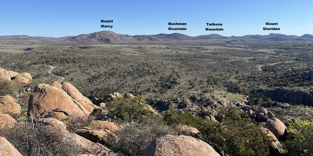
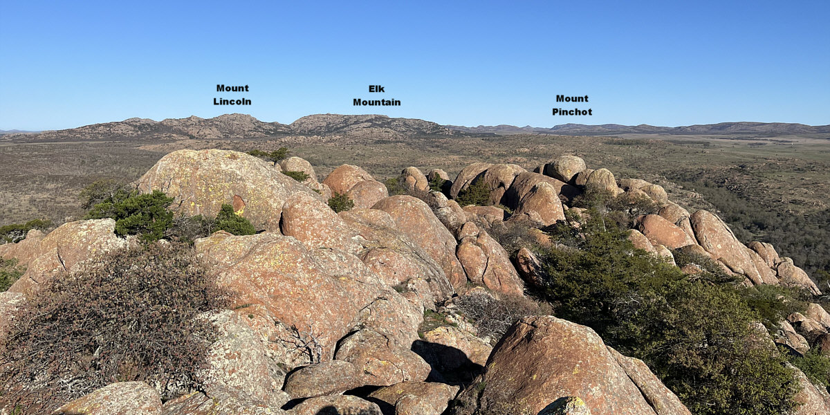
Here is the view to the northeast from the summit of Eagle Mountain.
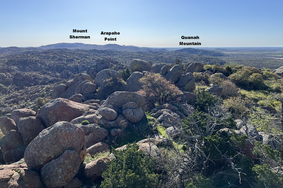 |
The subsidiary high point is at centre in this view to the southeast. |
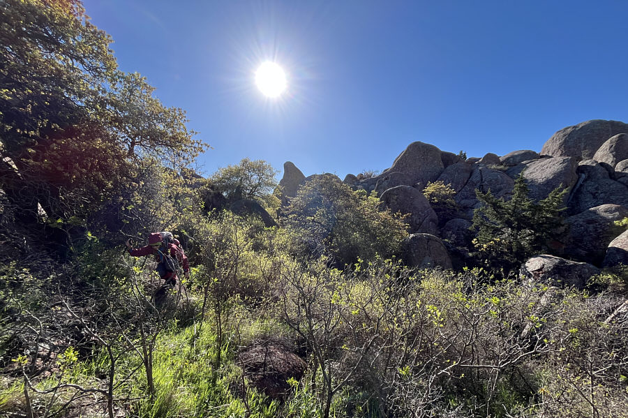 |
Zosia thrashes through some nasty vegetation on her way down. |
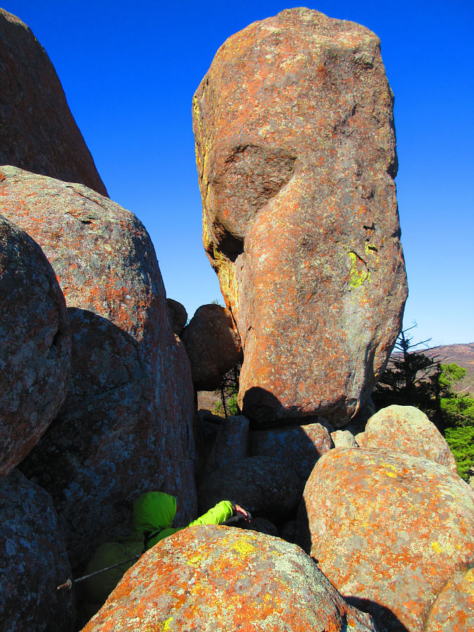 |
The boulders on the upper mountain
seemingly swallow up Sonny. Photo courtesy of Zosia Zgolak |
 |
Zosia drops down an awkward step. |
 |
Zosia is happy that the bison are still lounging near the trailhead. |
 |
One of the bison alertly stands up. Photo courtesy of Zosia Zgolak |
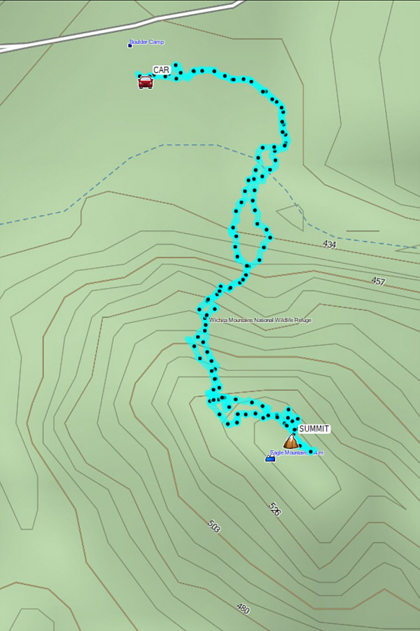 |
Total Distance: 2.4 kilometres Round-Trip Time: 2 hours 26 minutes Cumulative Elevation Gain: 115 metres |
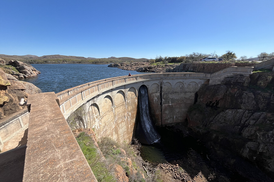 |
Zosia crosses Quanah Parker Lake Dam at the start of the hike to Little Baldy. |
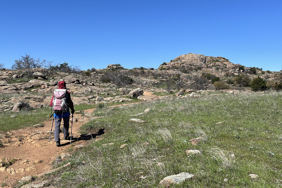 |
Zosia follows a good trail that leads to Little Baldy. |
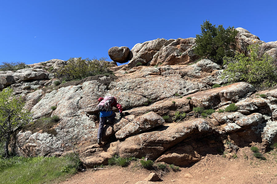 |
Some easy scrambling is required to surmount Little Baldy. |
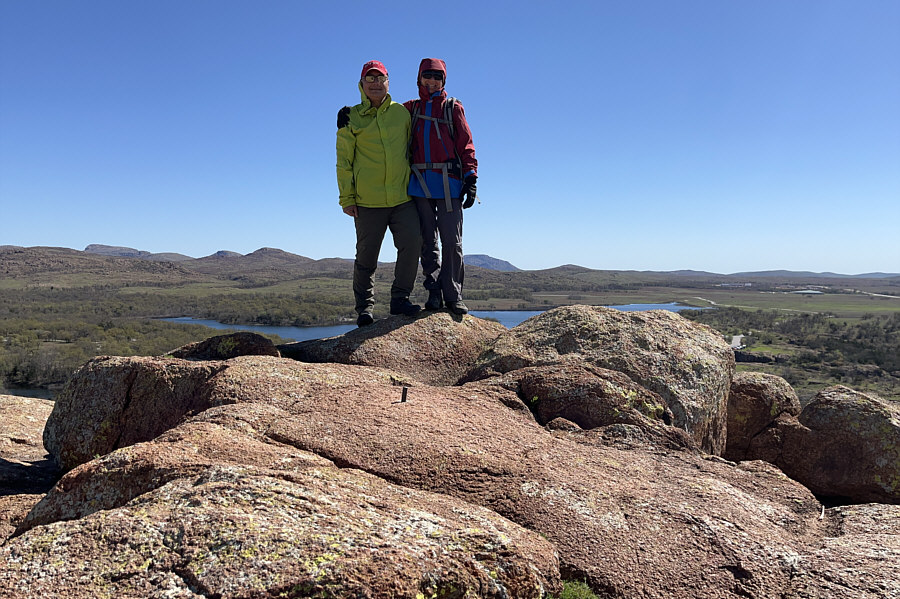 |
Sonny and Zosia stand on the summit of Little Baldy (508 metres). |
Here is the view to the southeast from the top of Little Baldy.
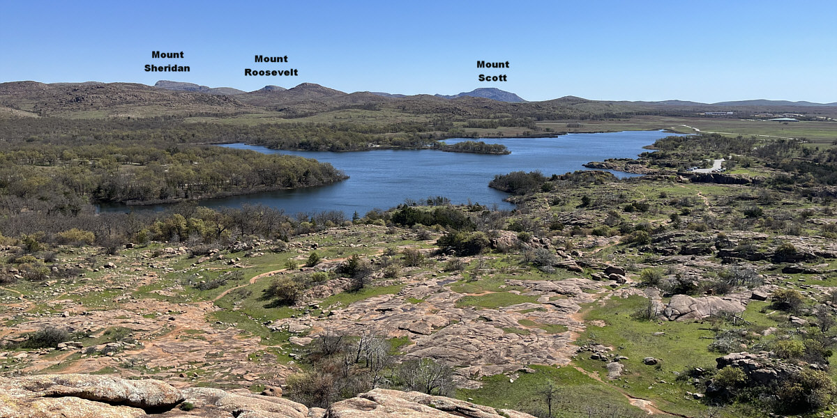
Quanah Parker Lake attracts all the attention in this view to the east.
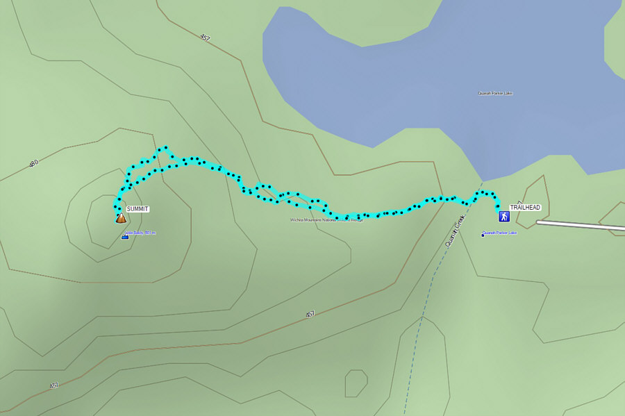 |
Total Distance: 1.4 kilometres Round-Trip Time: 50 minutes Net Elevation Gain: 54 metres |
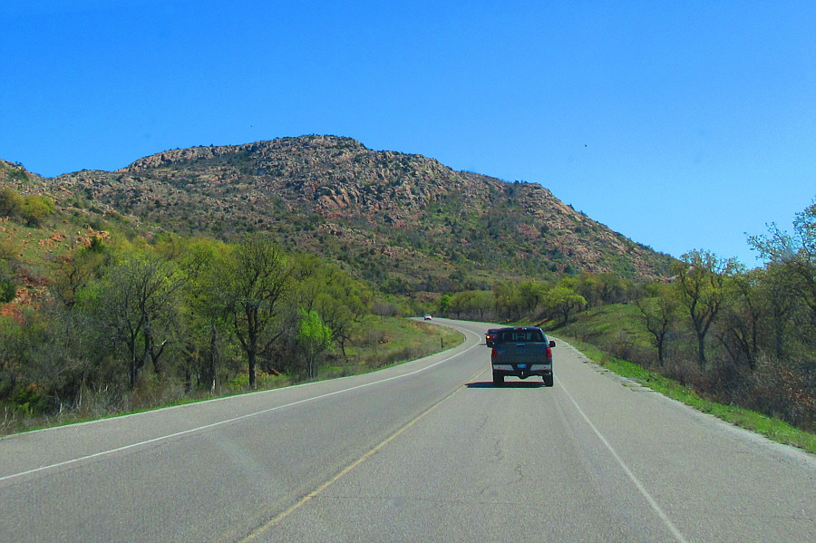 |
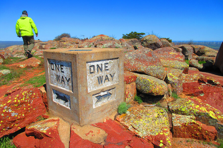
A good road runs all the way up Mount
Scott. Photo courtesy of Zosia Zgolak |
 |
Sonny wanders among Mount Scott's
summit rocks looking for the highest boulder. Photo courtesy of Zosia Zgolak |
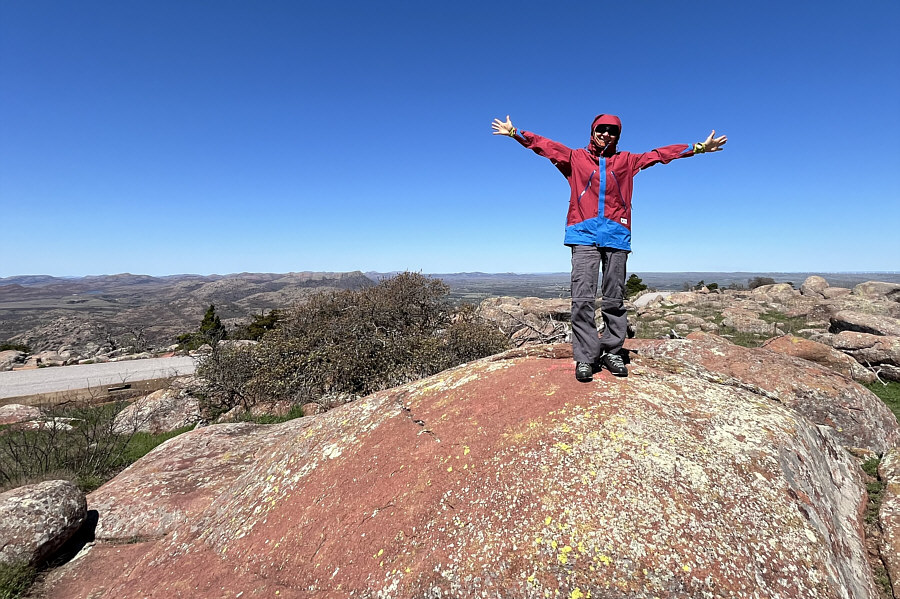 |
Zosia stands on the summit of Mount Scott (753 metres). |
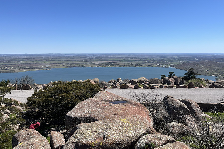 |
Here is a view of Lake Lawtonka which is just east of Mount Scott. |