BOU AVENUE
Woodson Mountain
After departing San Diego on the morning of
2 January 2024, Zosia Zgolak and I hiked up Woodson Mountain located just
northeast of the city of Poway, California. This mountain is
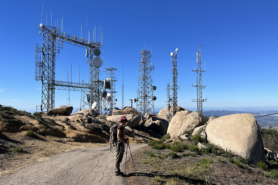
exceedingly popular but not because of the summit which is cluttered with
ugly telecommunications infrastructure. Instead, what draws hordes
of people here is the feature known as Potato Chip Rock located just
below and to the west of the summit. Probably almost every day,
dozens if not hundreds of people of all shapes and sizes flock here and
line up to scramble onto this wafer-thin rock for a requisite photo of
themselves. The two most popular routes start at opposite ends of
the mountain. The western approach from Lake Poway is probably the
most scenic route, but it is longer and requires more elevation gain.
Also, the starting point at Lake Poway Recreation Area is only open daily
from 6 AM to sunset, and parking there costs $10 USD for non-residents.
We opted to skip all the red tape and take the less aesthetic but shortest
route along a paved service road from the east. The biggest
downside with this approach is that parking is limited near the trailhead
along a busy highway and can even be dangerous with vehicles frequently
zooming by at high speed.
Parking spots along the side of Highway 67 near the eastern trailhead
(33.0070907, -116.9558757) were already mostly full when Zosia and I
arrived in mid-morning. Fortunately, we got lucky and found a spot
to park our car, but I could not help thinking that, given the popularity
of this trailhead and the speed and volume of adjacent traffic, there is
an accident waiting to happen along this stretch of highway (extreme
caution is strongly advised while moving about here). The start is
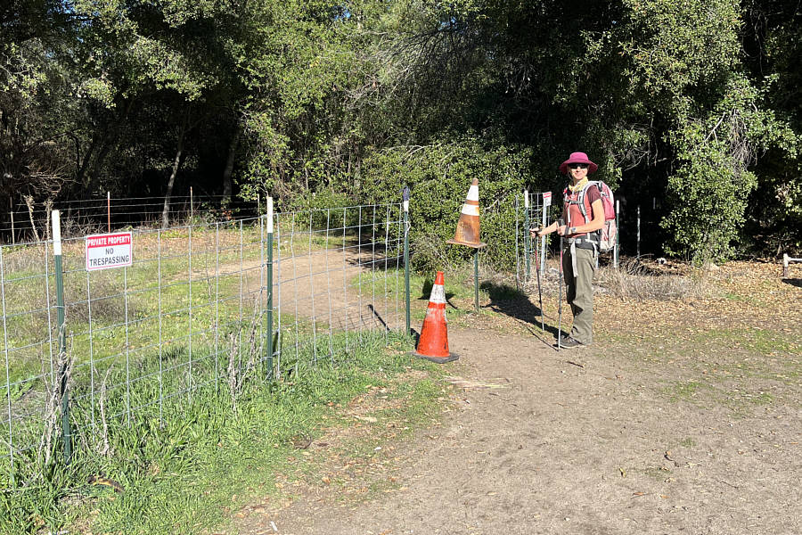
a little confusing since it is a small opening in a wire fence that has a
bunch of "No Trespassing" signs on it (do not walk up the paved roads
both immediately north and south of the hole in the fence). This is
essentially an easement that allows the public to access the road going
up the east side of Woodson Mountain without disrupting local residential
traffic or that of a nearby fire station. There are signs here to
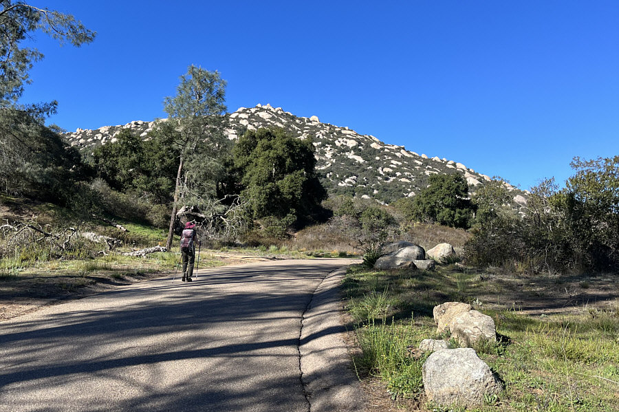
help point the way for hikers, and we were soon hiking up the paved
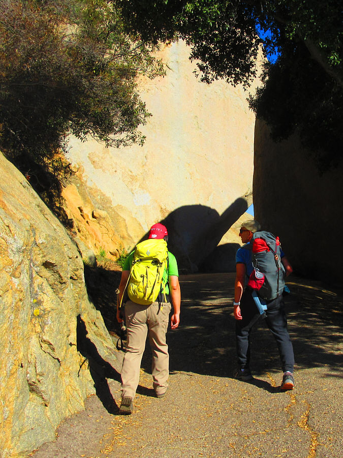
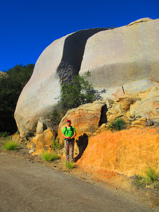
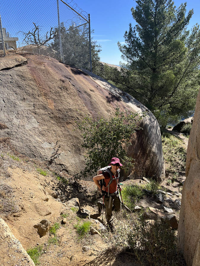
service road. Although the road itself is a bit boring to walk,
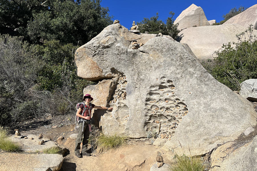
interesting boulders along the way help alleviate some of the drudgery.
We also met a local who talked our ears off for the better part of the
ascent about topics ranging from climbing to diets to politics.
Fortunately, his young adult children took pity and finally dragged him
away to let us continue hiking in peace.
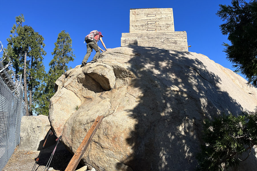
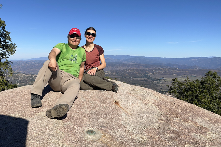
The true summit and accompanying benchmark
are located on top of a massive boulder which is not readily obvious from
the road. Zosia and I had to descend a bit and circle around one of
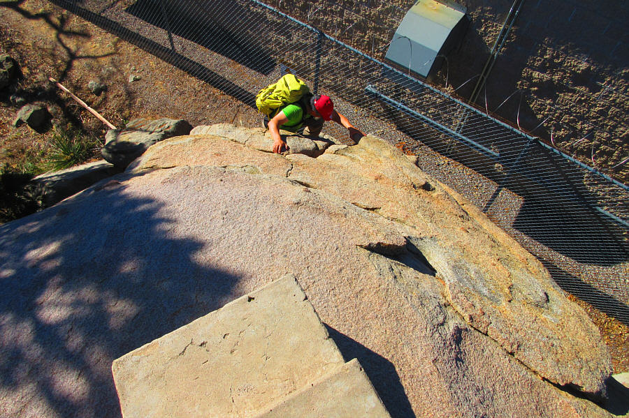
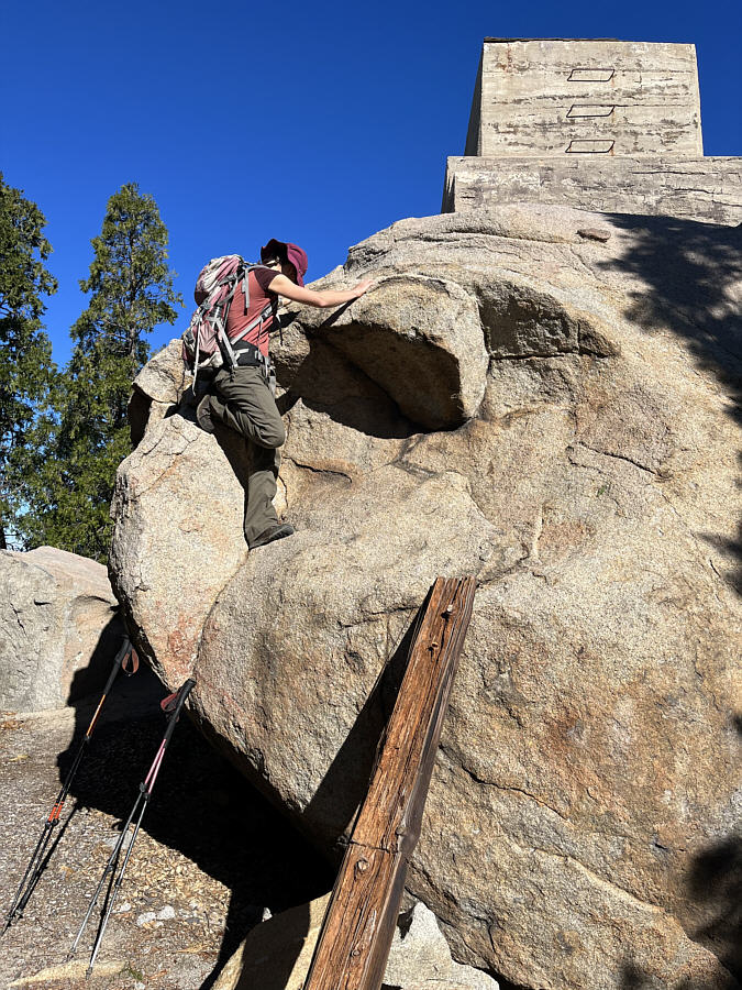
the buildings to find the boulder. While most online reports rate
this boulder as a Class 3 scramble, the initial step is quite difficult
and, in my opinion, should be rated Class 4 or even low Class 5.
Apparently, there was a ladder placed here in the past, but on this day,
there was only a rickety plank of wood which did not look trustworthy.
I was ready to give up and forego the true summit, but Zosia surprisingly
persisted and successfully scrambled up the boulder. Naturally I
had to follow suit, and with the help of the plank of wood (aid
climbing), I also managed to scramble up the same boulder.After a quick photo on the true summit, Zosia and I carefully descended
the boulder without mishap and returned to the service road. We
then headed west to visit Potato Chip Rock which is impossible to miss
given the crowds that perpetually congregate nearby. I have read reports of
people waiting for hours in a lineup numbering in the hundreds to get
onto the iconic rock flake, but on this day, we lucked out and only had
to wait maybe 10-15 minutes. Setting foot on Potato Chip Rock is
actually not so straightforward and requires some scrambling ability to
get across a small but awkward gap between the flake and an adjacent
boulder. Some people simply jump across the gap which is what I
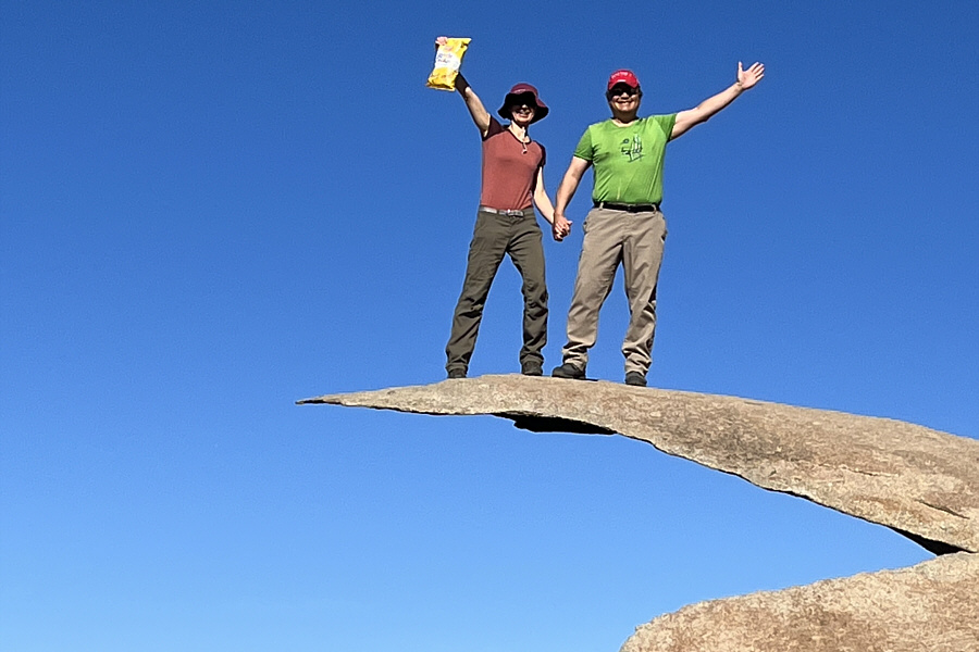
did. I had given my phone to a stranger to take several photos of
Zosia and me standing on Potato Chip Rock, but the results were all
rather disappointing. In any case, we hung around a bit after we
had descended to watch others climbing and posing on the flake, and I
even helped take photographs of one group with one of their phones.
When we had our fill of the circus-like atmosphere at Potato Chip Rock,
Zosia and I walked back over the top of Woodson Mountain and descended
the paved service road in relative peace and quiet.

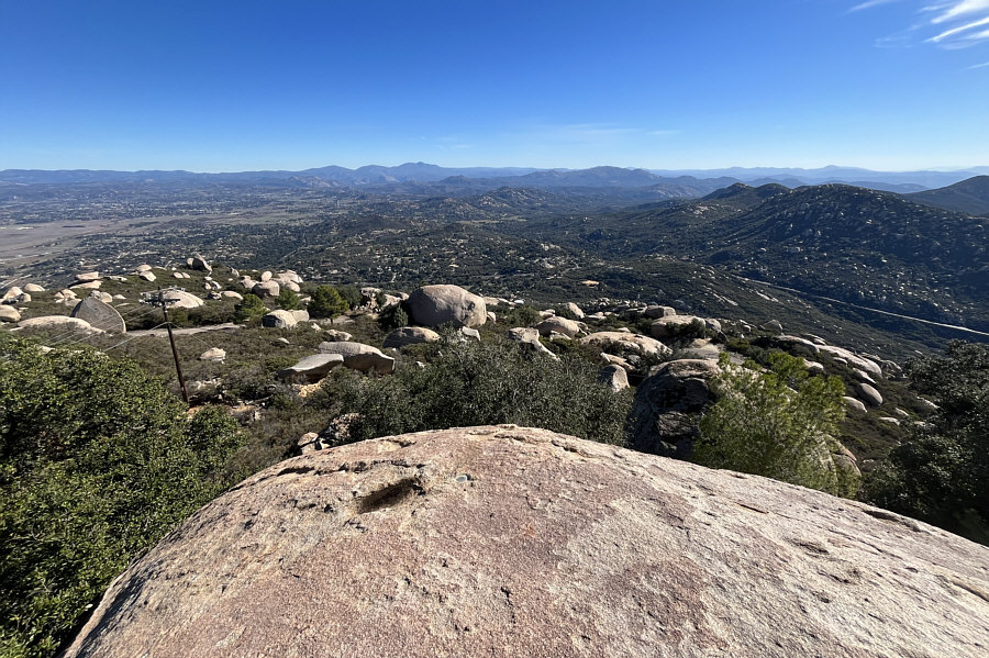
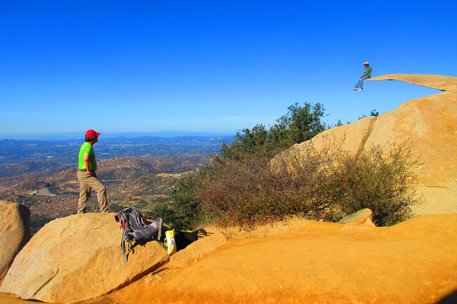
Here is a panoramic view from the trail near Potato Chip Rock (far
right). Click to enlarge.
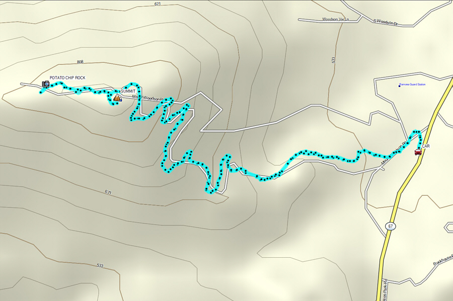 |
Total
Distance: 6.9 kilometres
Round-Trip Time: 2 hours 55 minutes
Net Elevation Gain: 351 metres
GPX Data |
