![]() |
Zosia begins hiking along West Fork Teton Trail (FT 114) with Mount Wright visible in the background. |
![]() |
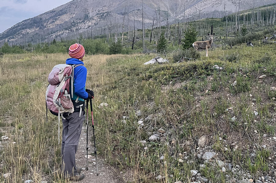
One of several deer near the trailhead looks curiously back at Zosia. |
![]() |
Zosia turns off onto Mount Wright Trail (FT 160). |
![]() |
Zosia hikes through an old burn on the lower slopes of Mount Wright. |
![]() |
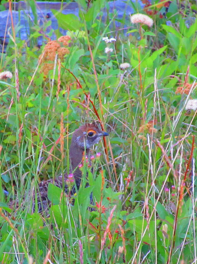
A young grouse keeps still hoping that it would not be noticed. 
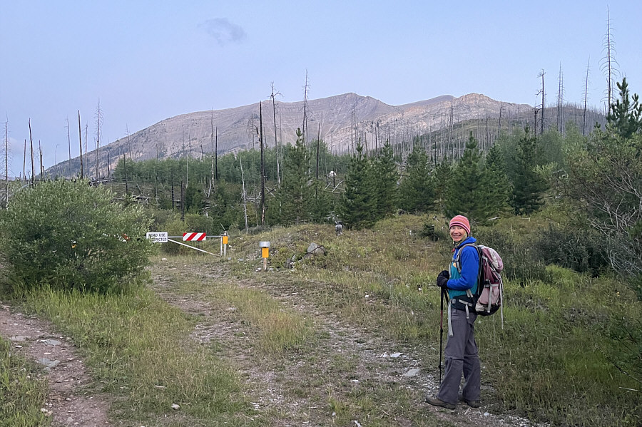
Photo courtesy of Zosia Zgolak |
![]() |
The trail climbs up this drainage to the high col at right. |
![]() |
At the high col, the trail turns westward up the ridge at left. |
![]() |
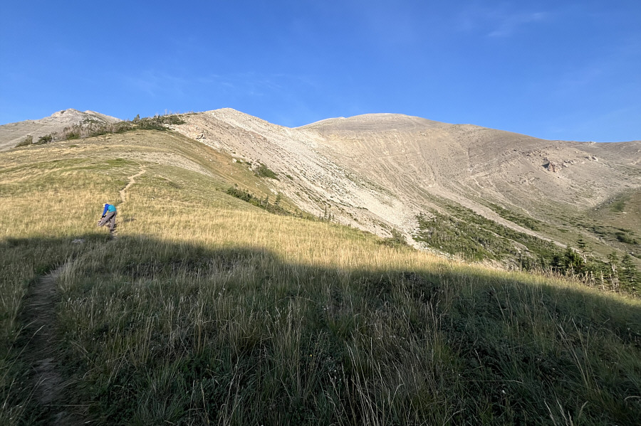
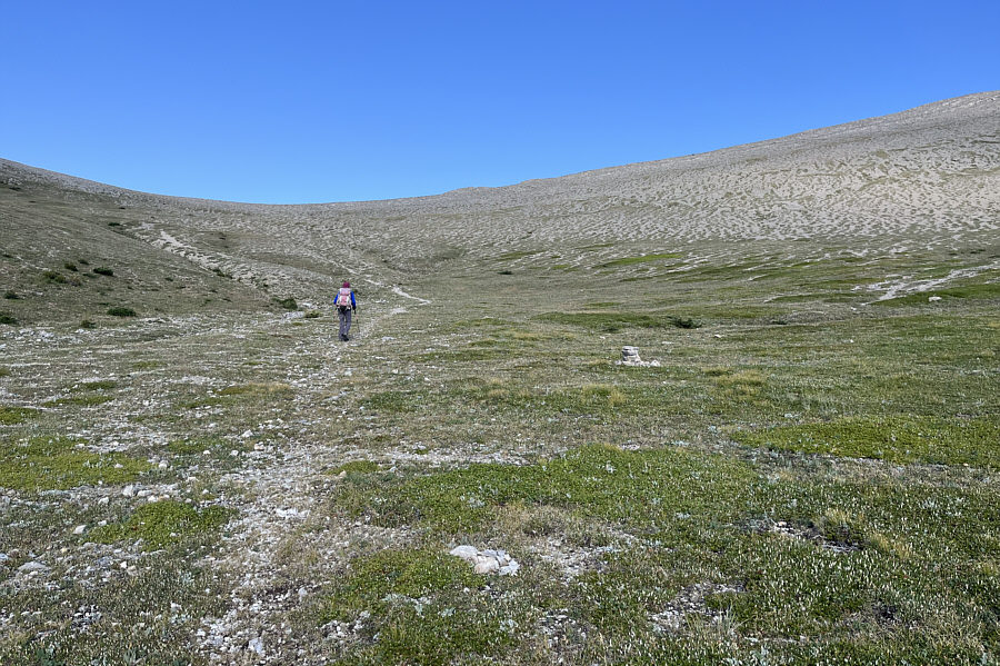
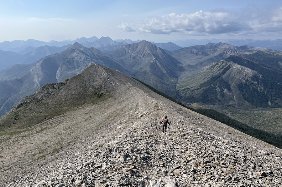
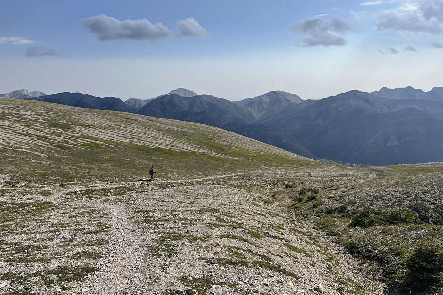
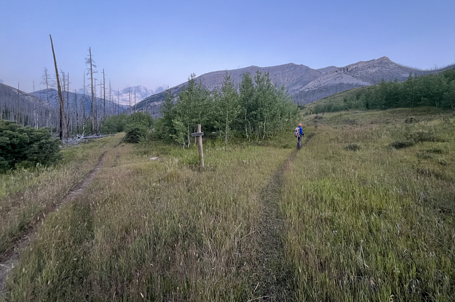
Zosia follows the trail aiming for the shelf up ahead which is the entrance to an open bowl. |
![]() |
Zosia crosses an open bowl en route to Mount Wright's summit ridge. |
Zosia climbs up the summit ridge of Mount Wright.
![]() |
Sonny and Zosia stand near the summit of Mount Wright (2706 metres). |
![]() |
Zosia takes shelter from the wind behind some sort of weather station on the summit. |
![]() |
Immediately to the west is the south end and highest point (right) of Corrugate Ridge. |
The rest of Corrugate Ridge (left) can be seen stretching away to the north. Some of the peaks in Glacier National Park are barely visible on the central horizon.
![]() |
Some more intriguing mountains can be seen to the northeast. |
![]() |
A sea of rugged peaks stretch away to the south as Zosia descends the summit ridge. |
![]() |
Zosia re-crosses the open bowl on her way down. |
![]() |
Zosia begins descending the drainage below the high col. The peak at right through the gap is Mount Lockhart. |
![]() |
Zosia hikes back out the West Fork Teton River valley. The big peak in the distance is unnamed. |
![]() |
Total
Distance: 11.1 kilometres Round-Trip Time: 6 hours 1 minute Cumulative Elevation Gain: 958 metres |