BOU AVENUE
Balancing Rock, Creston Wetland And Billy Goat Bluffs

On 25 April 2025, Zosia Zgolak and I spent the day doing a trio of short hikes in and around Creston, British Columbia.  We started the morning with a hike up Balancing Rock trail which starts from a pullout (49.12755, -116.63442) along West Creston Road just off Highway 3.  A short but strenuous climb leads to a large erratic which might be of some interest to bouldering enthusiasts, but I found it rather underwhelming.  For some added interest, we hiked a little further to climb a small knoll just beyond a nearby power line right-of-way.  We took a short break there before retreating the same way to the trailhead.
Mosquitoes were bad here for some reason. Zosia checks the map at the trailhead for the hike to Balancing Rock.
There was a young man from Nantucket... Zosia reads the trail register which is located near the trailhead.
Sorry Alvin, it's not lunch time yet! A chipmunk comes out of its hideaway to see if there are some stray food crumbs.

Photo courtesy of Zosia Zgolak

We will go check it out later!

This is looking down at an observation tower (right of centre) in a nearby wetland.

Photo courtesy of Zosia Zgolak

Can you hear the wires humming? Zosia passes under a power line en route to a small knoll just beyond.
We also found a geocache nearby, but unfortunately, it was soiled by the elements. Sonny and Zosia pose with some rocks on top of the small knoll (790 metres).
Might need a bit more leverage to move this sucker! Zosia tries to push Balancing Rock.
Not "Leech Lake"? Here is a view of Leach Lake to the north.
Someone's burning something at distant right...

Zosia descends the trail with views of Nick Slough (right) and Arrow Mountain (far left horizon).

Warm-up for a much longer ascent up Creston Mountain which we will likely do in the future. Total Distance:  3.8 kilometres
Round-Trip Time:  2 hours 21 minutes
Cumulative Elevation Gain:  229 metres

GPX Data

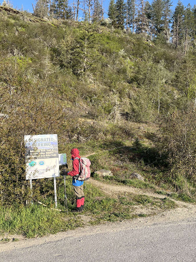
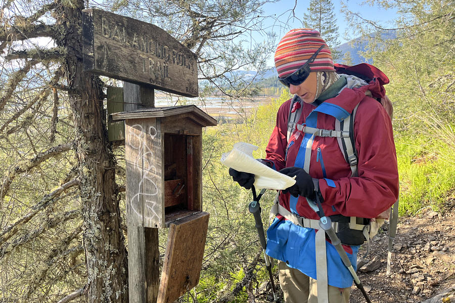
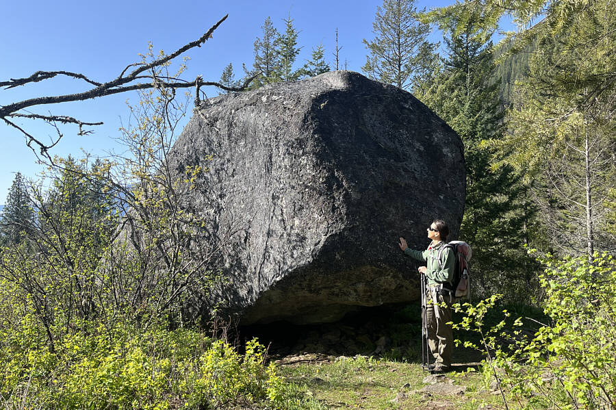
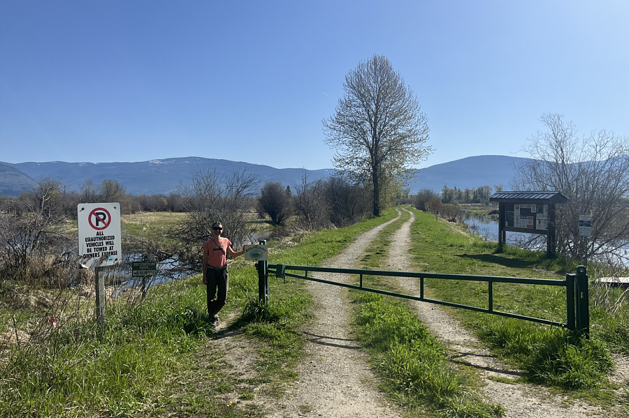
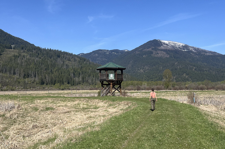
After finishing our hike to Balancing Rock, Zosia and I left most of our gear in our car and walked a short distance south along West 
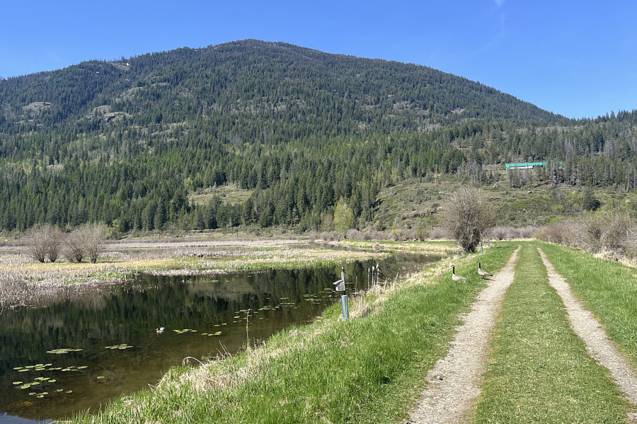
Creston Road to one of the access points for Creston Valley Wildlife 
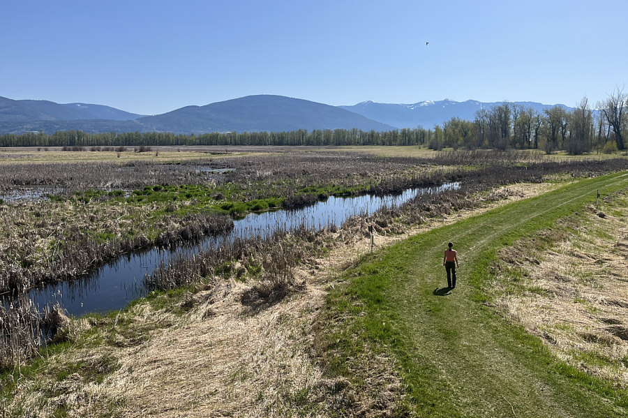
Management Area which is comprised mostly of wetland interspersed by a 
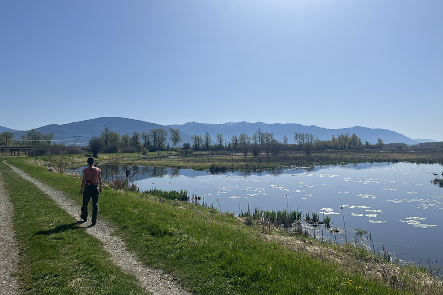
network of dykes suitable for walking or cycling.  The wetland is an important habitat for a wide variety of wildlife but especially 
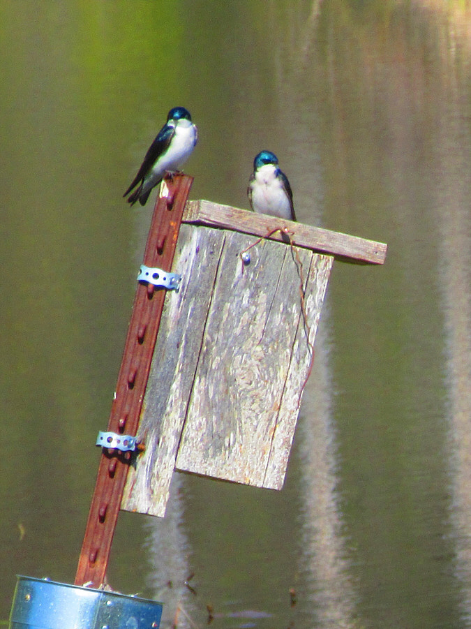
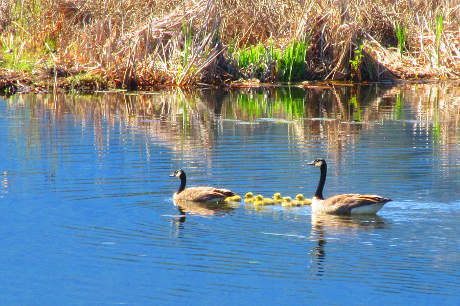
waterfowl.  We walked only a small portion of the area but were well-entertained by an abundance of Canada geese and tree swallows.  
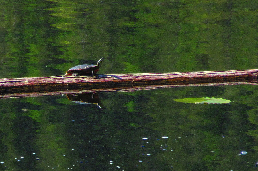
We also spotted mallards, red-winged blackbirds, a sandhill crane, and even a painted turtle.
Would be fun to bike here, I think! Zosia arrives at an access point for Creston Valley Wildlife Management Area (CVWMA).
No alligators, thank goodness! Nick Slough is home to lots of waterfowl.
They have nice blue heads! A couple of tree swallows are perched on top of one of the many birdhouses in the area.

Photo courtesy of Zosia Zgolak

Cute family! This is one of many families of Canada geese roaming the slough.

Photo courtesy of Zosia Zgolak

Not surprisingly, there's bird poop everywhere in the observatory! Zosia approaches the observation tower seen earlier from Balancing Rock trail.
There's a lot of goose poop on the dyke as well! Here is a view from the observation tower of Zosia walking along a dyke.
I wonder if the office is also full of bird poop... Creston Mountain dominates the background in this photograph.  The green building partway up the slope is the CVWMA administration office.
Nice photo by Zosia! A western painted turtle enjoys the warm sunshine on a floating log.

Photo courtesy of Zosia Zgolak


Highlight of the day!

Here is a zoomed-out view of the turtle on the log in Nick Slough.


Nice and short sampling of the local wetlands. Total Distance:  2.9 kilometres
Round-Trip Time:  1 hour 19 minutes
Cumulative Elevation Gain:  20 metres

GPX Data

When Zosia and I returned from our walk through the wetland, we drove into Creston and enjoyed a relaxing lunch at Tim Horton’s before heading a short distance east to the trailhead (49.11733, -116.51801) for our final hike of the day—Billy Goat Bluffs.  The hike is nothing more than a strenuous climb to a scenic viewpoint situated partway up the western slopes of Arrow Mountain.  With the trail shrouded by forest most of the way, there is little else to see, but we enjoyed the shade nonetheless on this warm afternoon.  On our way back, we encountered a trio of municipal employees working to assess the level of fire hazard posed by deadfall in the forest.  This is probably now a high priority for many mountain communities in the wake of the wildfire devastation in Jasper the previous year.  Zosia and I were most impressed by the dedication of the employees—all relatively young—who were still working diligently in the bush late on a Friday afternoon when most other people are usually at a pub or heading home for the weekend.
Steven Maffioli of the Green Party garnered only 1.5% of the votes in this riding--Kootenay-Columbia-Southern Rockies--in the 2025 Federal Election. The riding was won by the Conservative incumbent. Zosia reads some posted information at the trailhead for Billy Goat Bluffs.
Much welcomed when the sun is hot! Most of the hike to Billy Goat Bluffs is in forest.
They should install a 3rd goat here! The viewpoint at Billy Goat Bluffs is appropriately marked.
 

I think I can see the Tim Horton's where we had lunch!

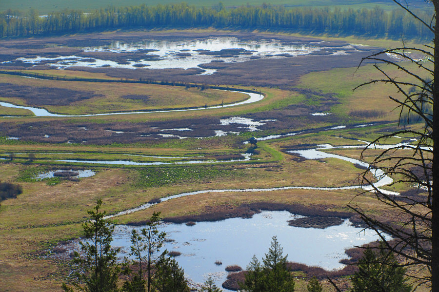
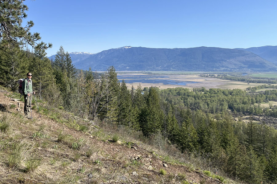
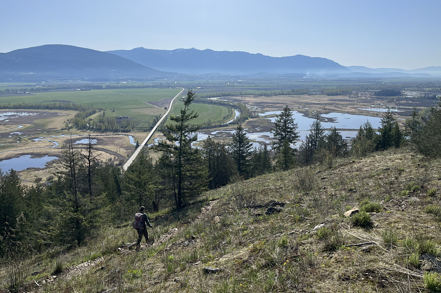
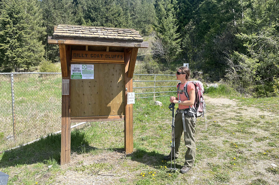
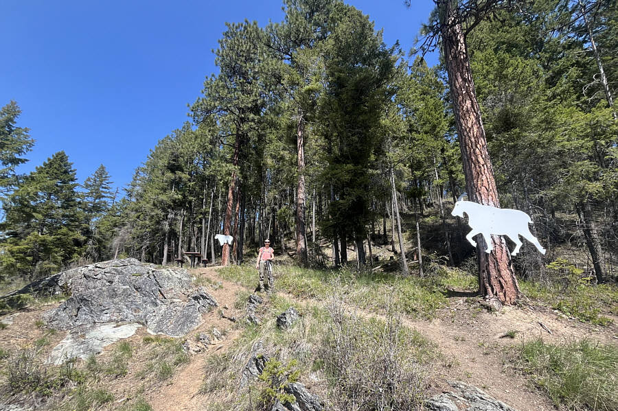
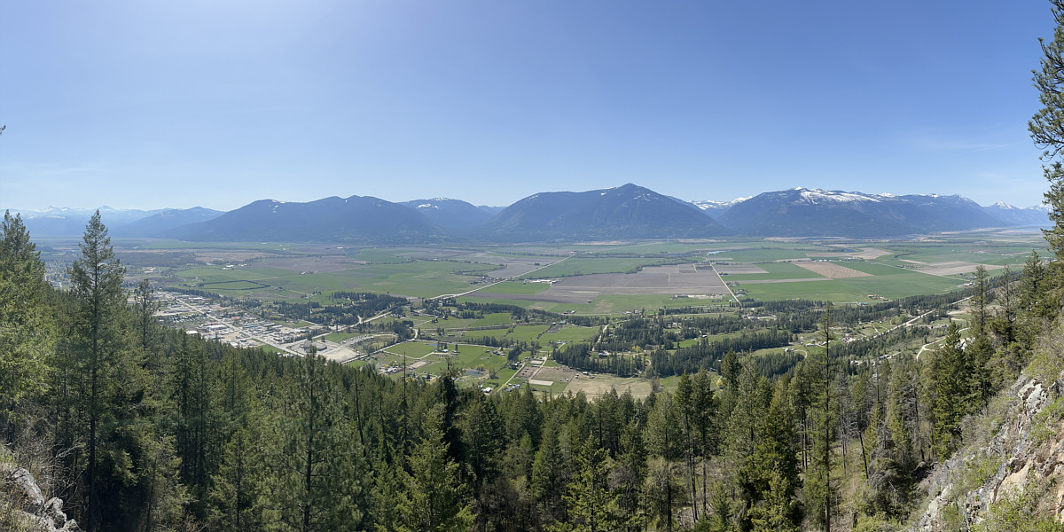
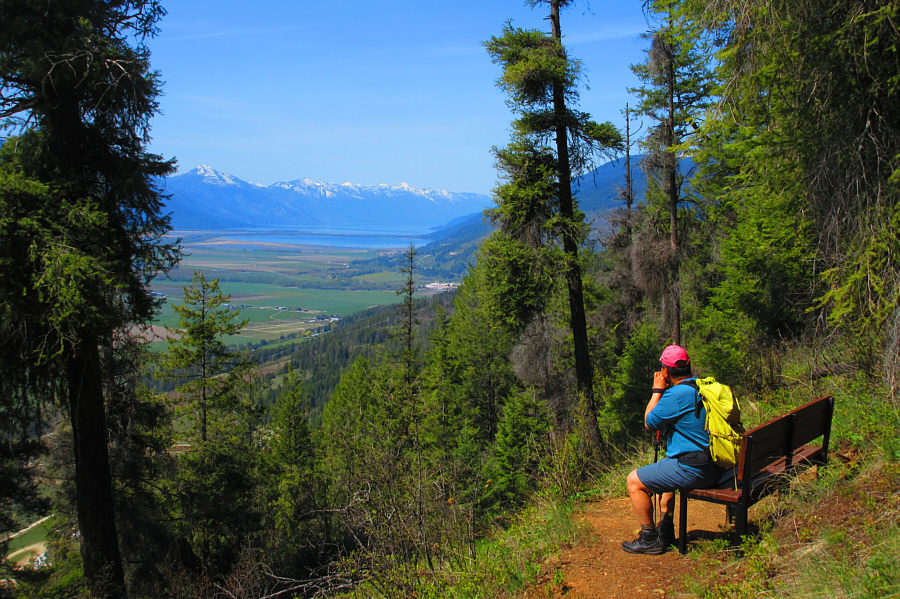
Here is the view across the valley from Billy Goat Bluffs.  Creston Mountain is right of centre.


They should cut down a few more trees here...maybe at the top of Arrow Mountain too! A break in the trees grants distant views of Duck Lake and Kootenay Lake to the northwest.

Photo courtesy of Zosia Zgolak

Probably better bang for your buck than climbing all the way up Arrow Mountain. Total Distance:  6.2 kilometres
Round-Trip Time:  2 hour 54 minutes
Cumulative Elevation Gain:  381 metres

GPX Data