Photo courtesy of Zosia Zgolak
|
|
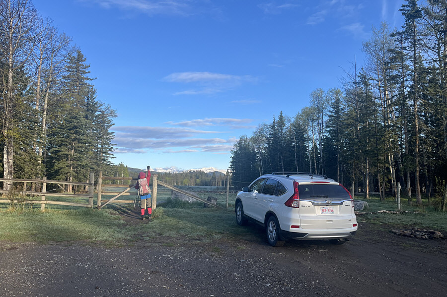
Zosia opens a gate at the entrance to Kananaskis Country Public Land Use Zone. |
|
|
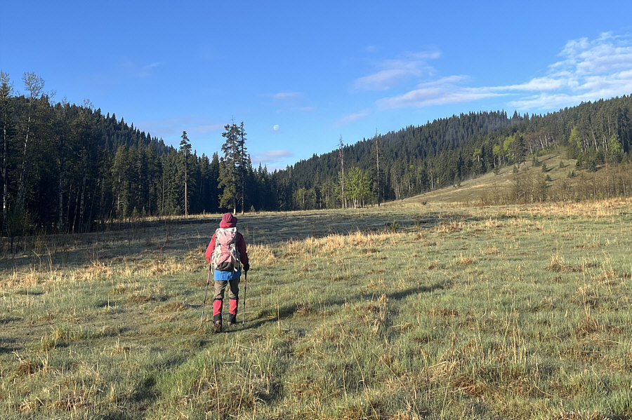
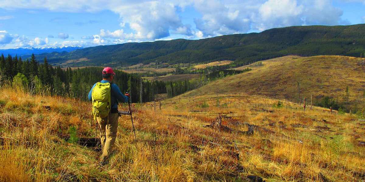
Zosia crosses a big meadow aiming for the gap below the moon. |
|
|
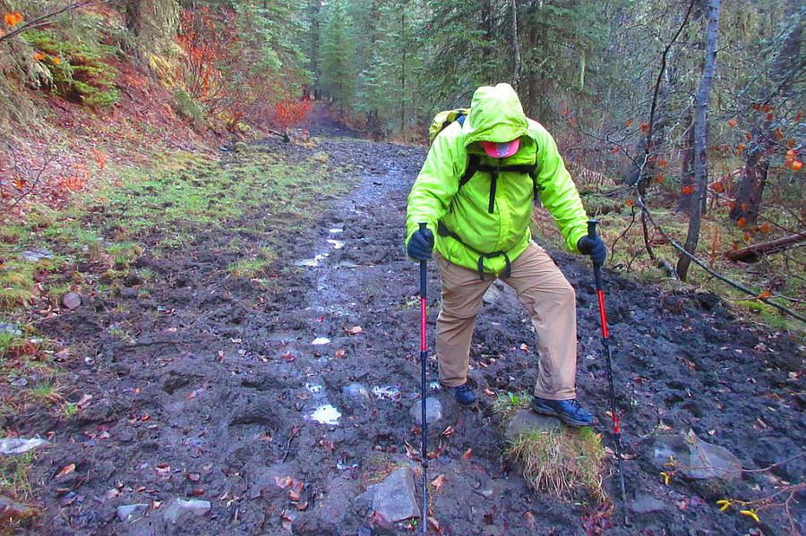
Sonny trudges through one of several
cattle-churned sections of trail. Photo courtesy of Zosia Zgolak |
|
|
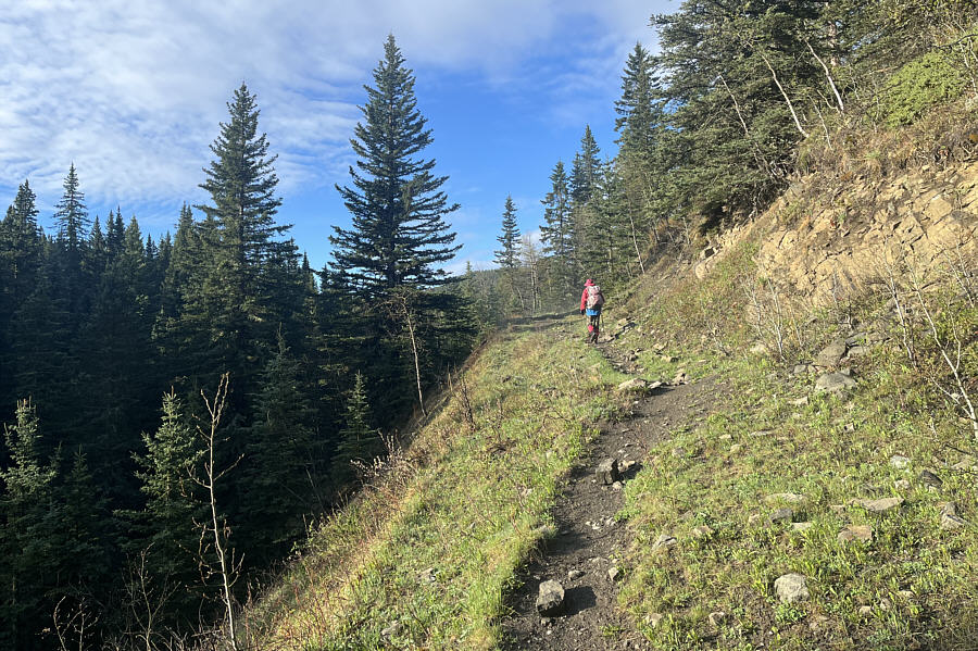
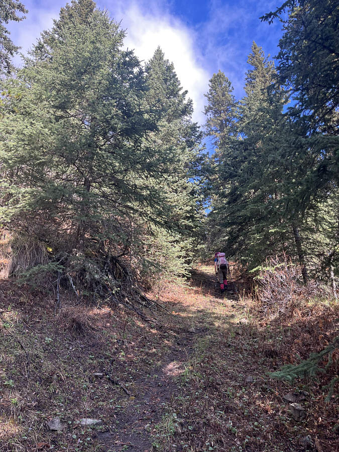
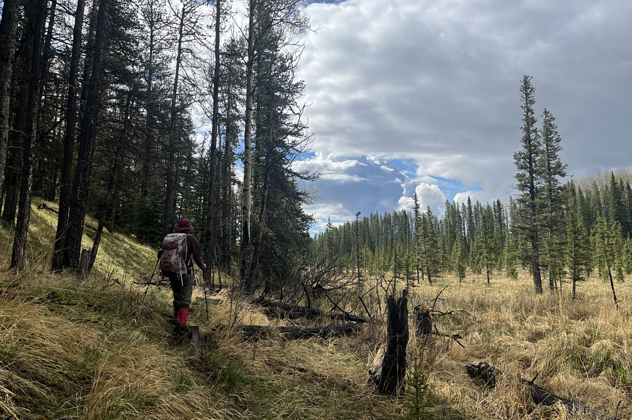
This stretch of trail actually looks decent for hiking. |
|
|
Zosia follows a road that appears to climb up the eastern side of Channel Ridge, but ultimately, the road descends back into the same valley. |
|
|
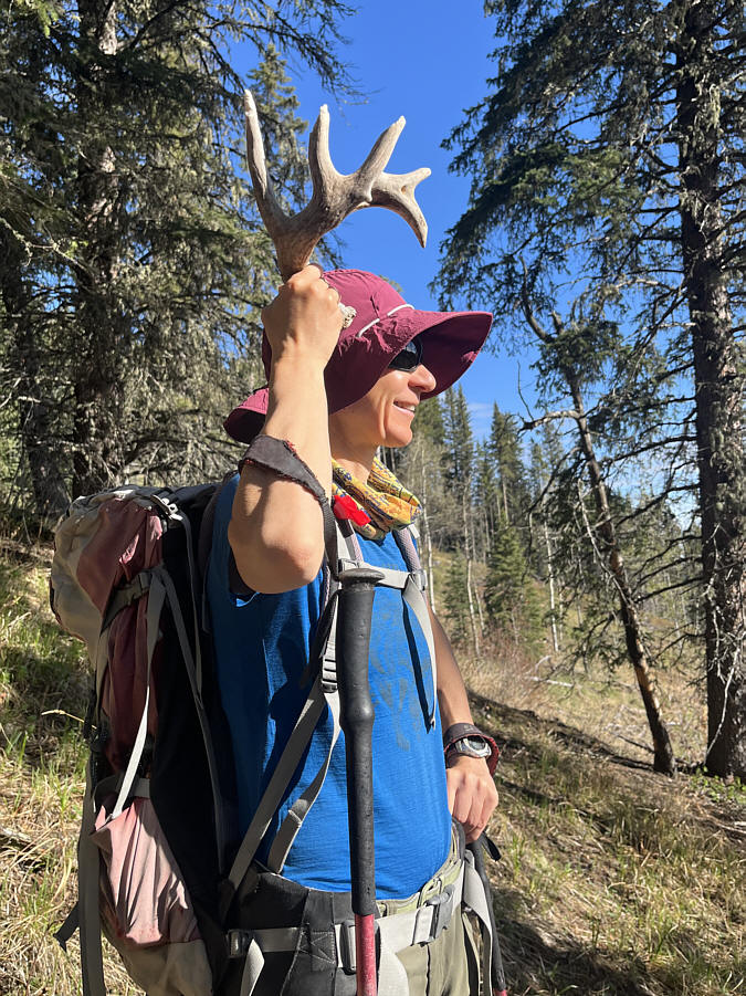
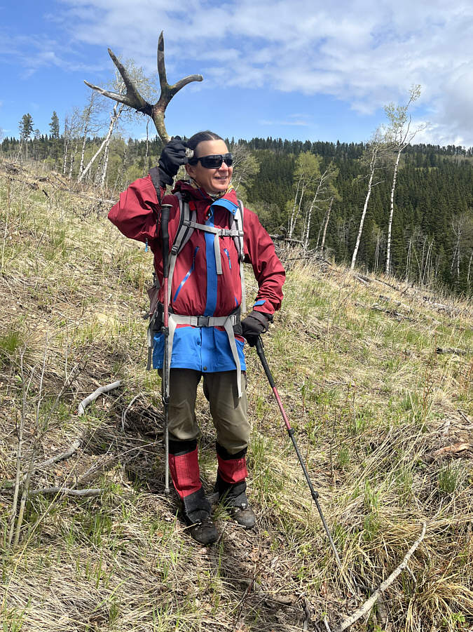
Zosia has a knack for finding antlers in the wild. |
|
|
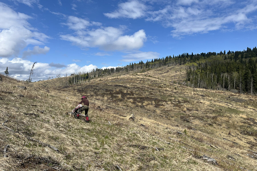
After muddling about on the east side of Channel Ridge, Zosia finds another road that actually leads to the ridge crest. |
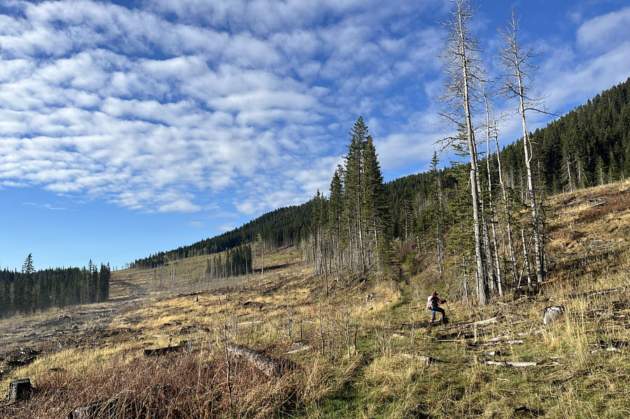
Sonny drops down the west side of Channel Ridge through a cut block. Across the valley is Blue Ridge.
Photo courtesy of Zosia Zgolak
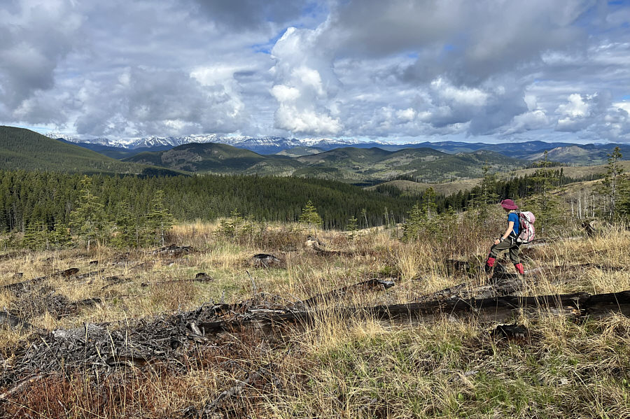 |
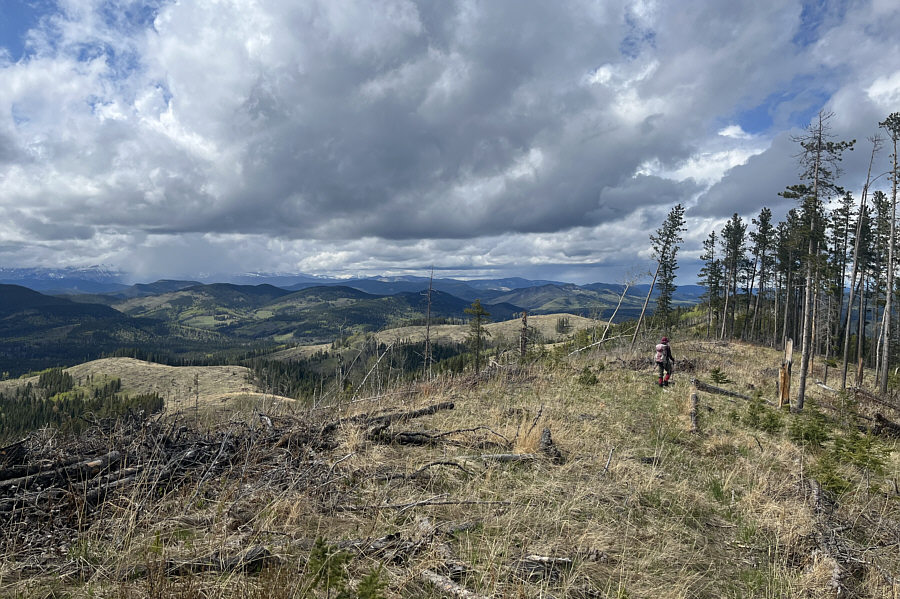
Snow-clad mountains are visible on the horizon as Zosia picks her way through the slash in the cut block. |
 |
Zosia looks for a suitable place to cross this grassy marsh at the bottom of the valley separating Channel Ridge and Blue Ridge. |
 |
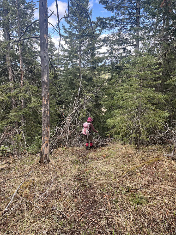
Zosia begins grinding up the forested eastern slope of Blue Ridge. |
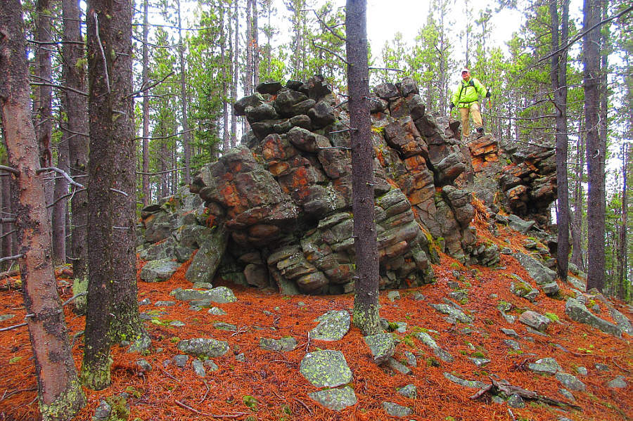 |
Sonny comes across an interesting rock
outcrop on the ridge crest. Photo courtesy of Zosia Zgolak
|
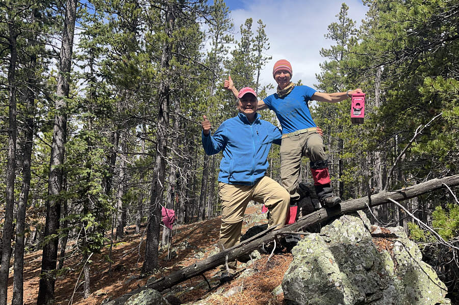 |
Sonny and Zosia stand on the true high point of Blue Ridge (1925 metres). The pink register box is courtesy of Ephraim Roberts. |
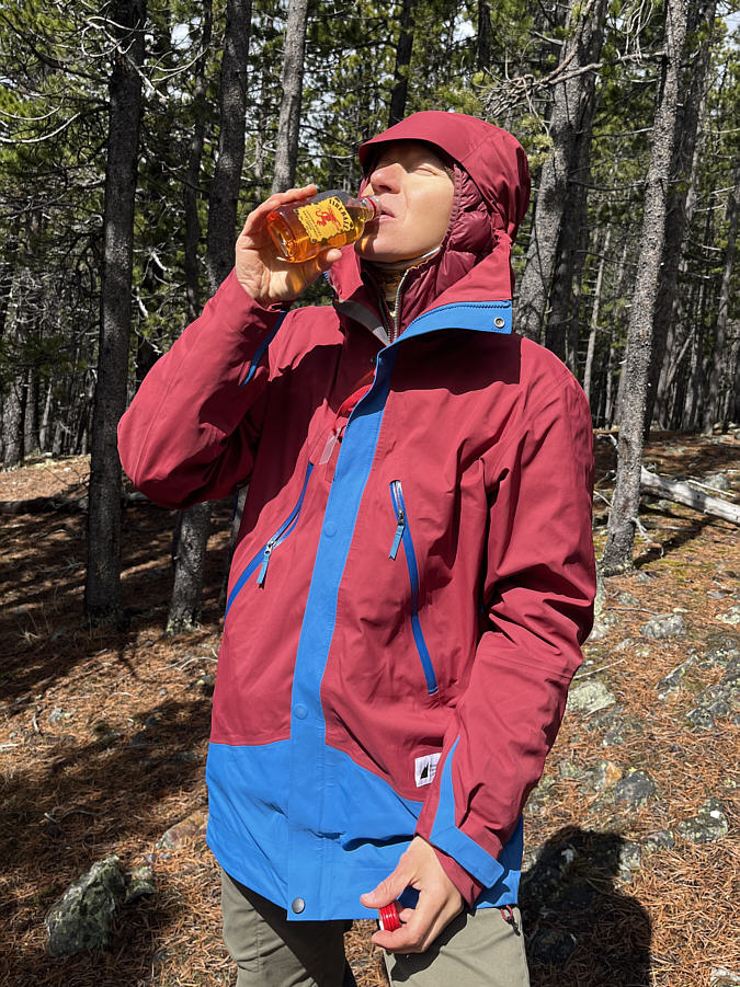 |
Zosia samples some Fireball Cinnamon Whisky from the register box. |
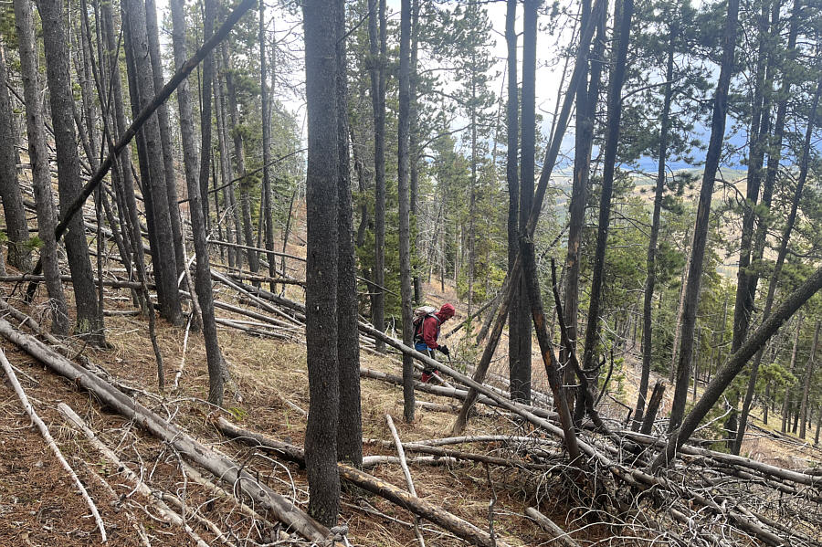 |
Zosia dodges some toothpick deadfall on her way down the eastern slope of Blue Ridge. |
This barbed wire fence is a good guide for getting back to Channel Ridge.
 |
Zosia finds yet another antler lying in the grass. |
 |
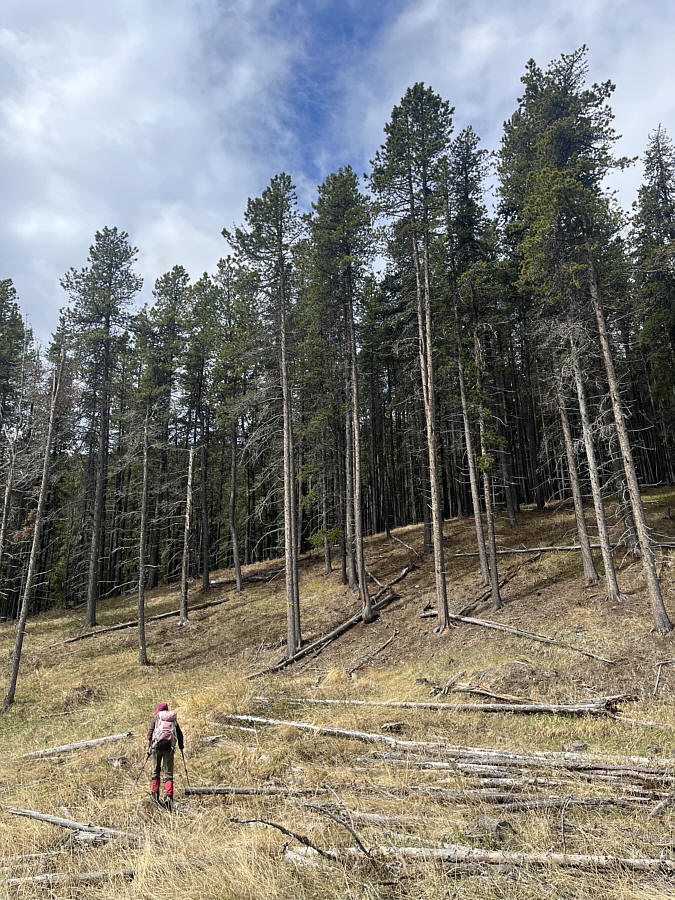
This is the final big uphill climb of the day on the western slope of Channel Ridge. |
 |
Zosia heads north along the crest of Channel Ridge. |
 |
Zosia takes a short cut trail which drops steeply down the east side of Channel Ridge. |
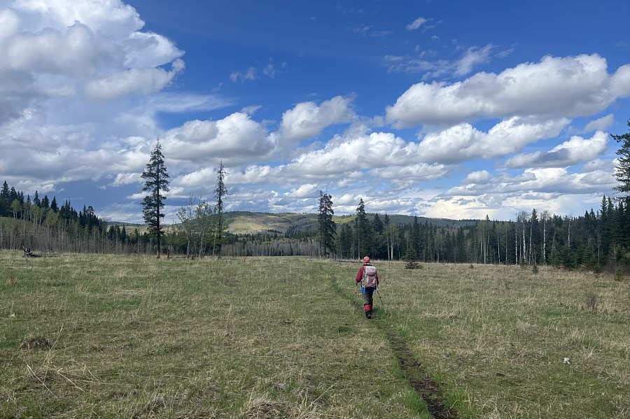 |
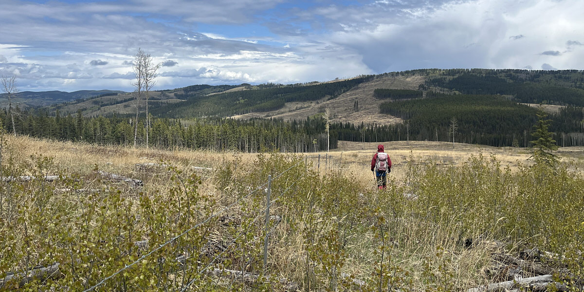
Zosia crosses the same big meadow near the start. |
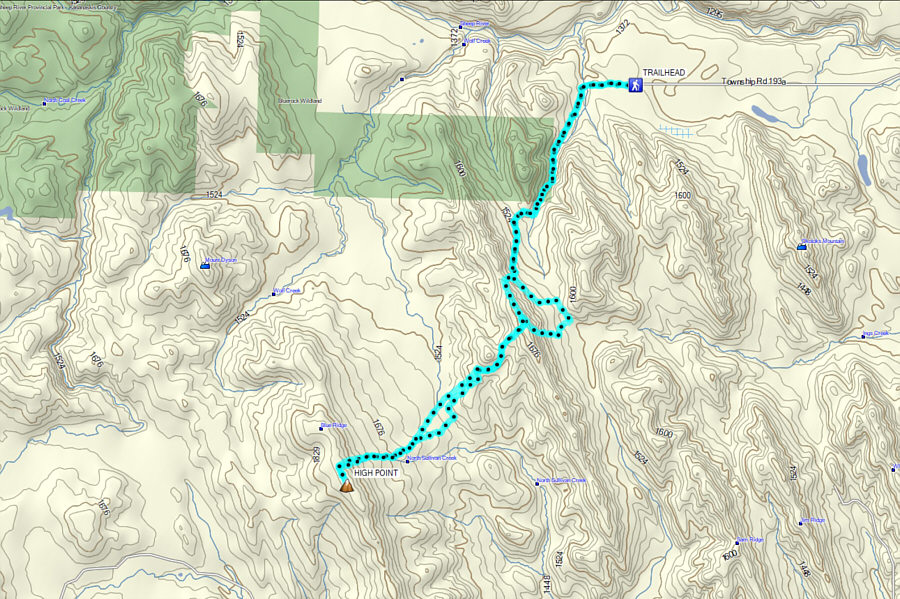 |
Total Distance: 20.7 kilometres Round-Trip Time: 10 hours 29 minutes Cumulative Elevation Gain: 873 metres |