BOU AVENUE
Brewery Ridge

Wrapping up our spring break road trip, Zosia Zgolak and I hiked Brewery Ridge near Fort Steele, British Columbia on 27 April 2025.  This unassuming ridge near the entrance to Wild Horse River valley caught my eye a couple of years ago while we were driving to the trailhead for nearby Lone Peak, and I thought that it might make for a nice scenic hike.  Sure enough, we learned over the weekend that Ken Gray and Angie Keller--our gracious hosts in Cranbrook--had previously hiked this same ridge, and they gave it a glowing review.  The ridge is short enough to do as a half-day hike, but that suited Zosia and me just fine since we still had a long drive home ahead of us.  The ridge's unofficial name is likely derived from its proximity to nearby Brewery Creek.

From Highway 93/95, turn east onto Wardner Ft Steele Road 24.0 kilometres south of the junction with Highway 95A or 7.6 kilometres north of the intersection with Highway 3.  Drive 330 metres and turn left onto Fort Steele-Wildhorse Road (2WD gravel).  Drive 2.9 kilometres and park in a small loop pullout on the left.

From the south end of the pullout, Zosia and I walked back southward along the road for about 40 metres before turning right onto an unsigned trail heading through a short stretch of trees.  This trail runs up an open hillside before circling around to the east side of Brewery Ridge.  The trail eventually goes over the ridge crest to the west side, but well before that, we left it to hike off-trail and tag the first of three distinct high points.  From the first high point, we easily continued northward along the open ridge crest to the top of the second high point.  A jeep track drops down the west side of the second high point and ultimately connects to the third high point, but we took a slightly different route further to the east which entailed some light bushwhacking.  When we reached the top of the third high point, we were surprised to meet a young couple from Kimberley who had camped there overnight in a SUV with a rooftop tent.  After a long and pleasant chat with them, we gave them some space to finish their breakfast while we took a short break nearby.

When we resumed hiking, Zosia and I bid the young couple farewell and followed the aforementioned jeep track back to the ridge crest just south of the second high point.  We then dropped down the east side of the ridge and picked up the same trail that we started on.  The remaining hike back to our starting point was uneventful.

I would like to give a great big "Thank You" to Ken and Angie who were kind enough to host us at their home in Cranbrook on very short notice.  Their generous hospitality and excellent company was the icing on the cake for another fun-filled road trip with my favourite adventurer, Zosia!
Deer are everywhere here! 
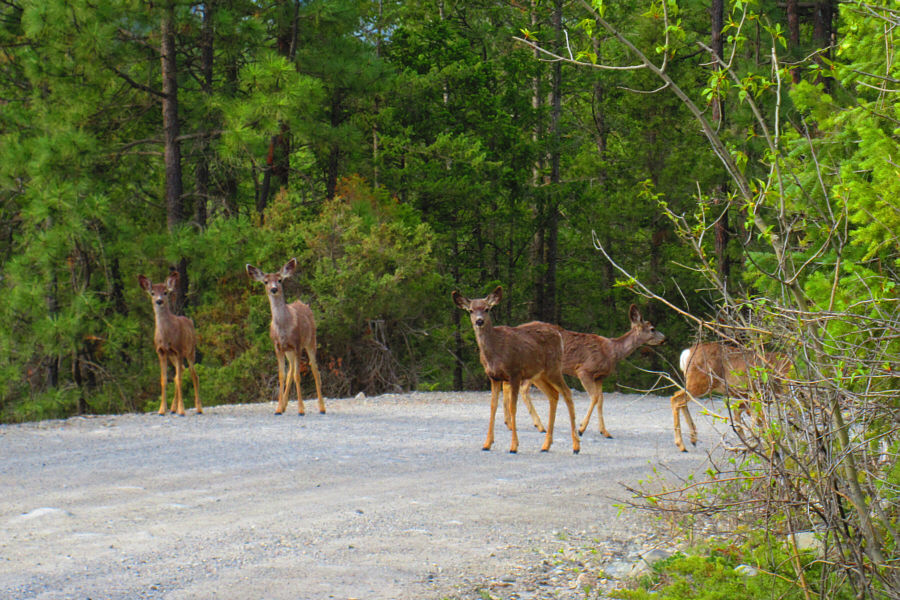
Mule deer mill about on the road near the trailhead.

Photo courtesy of Zosia Zgolak

Green thing coming up--edible or will it eat us? 
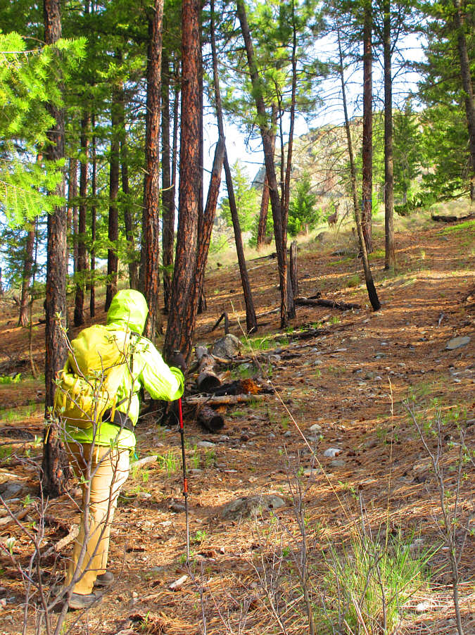
Some more deer look down at Sonny as he climbs the trail.

Photo courtesy of Zosia Zgolak

Love getting out of the trees already without breaking a sweat! 
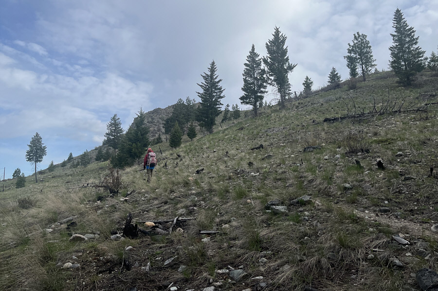
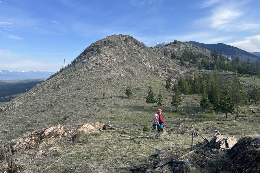
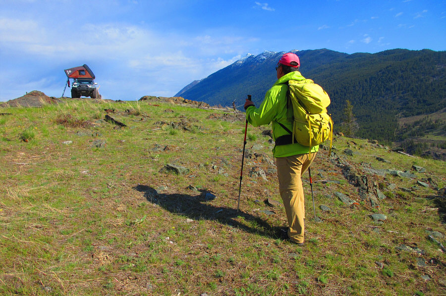
Zosia climbs up the open hillside near the south end of Brewery Ridge.
Another good example of why a higher summit doesn't always have better views!

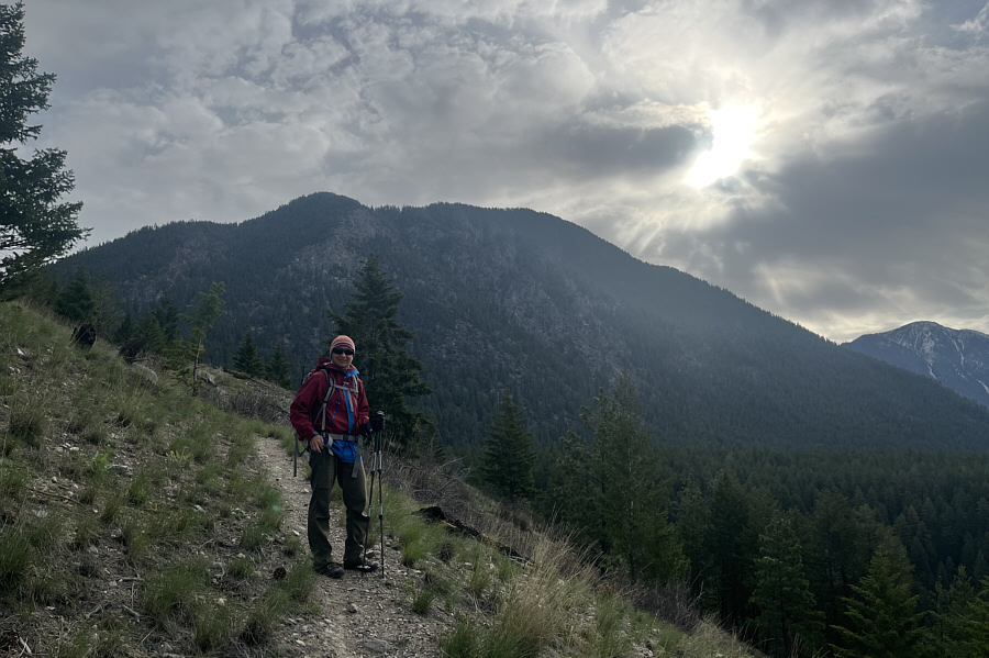
The sun tries to break through the clouds above Lone Peak to the east.

What happened to all the deer? 
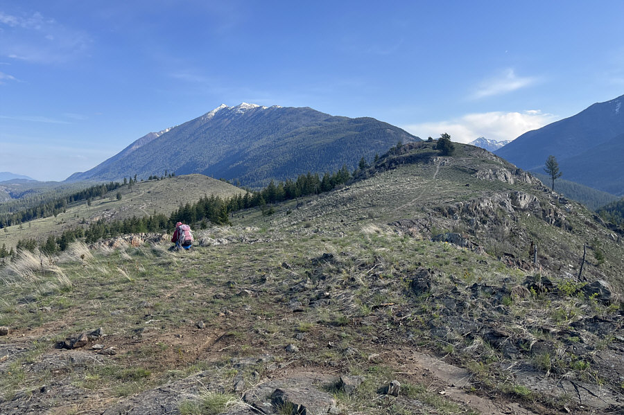
Zosia descends from the first high point (1027 metres) along the ridge.
Flower or bug? 
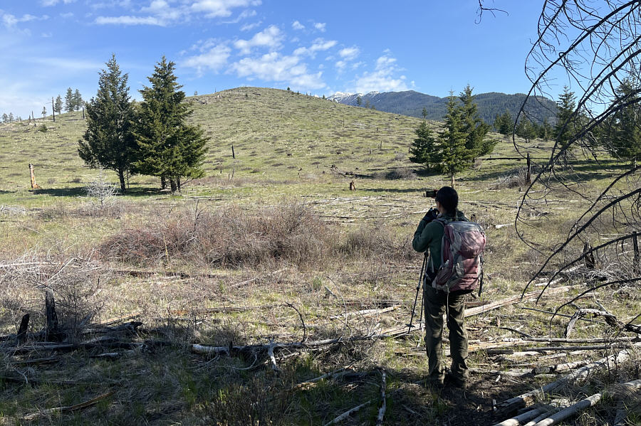
Zosia stops to photograph something on the ground just before the next high point along the ridge.  The third high point is visible at left.
It's definitely best to be here on a clear and sunny day. Here is a look back at the first high point (left) from near the top of the second high point.  Left of centre on the horizon is Mount Baker.
And probaby the highest point too! Zosia and Sonny stand on the second high point (1081 metres) of Brewery Ridge.
 

What's that on top of the third high point?

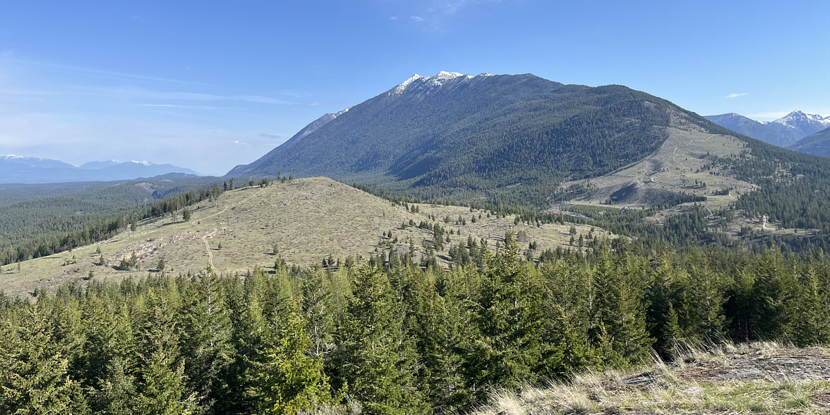
Here is a view of the third high point from near the top of the second high point.  The snowy peaks in the background are part of the Lakit Mountain massif.


http://goldenscrambles.ca/summits/vertical/vertical.html 
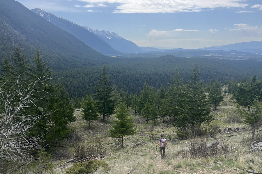
Zosia descends the north side of the second high point.  The striking peak up the valley at centre is Vertical Mountain.
Run deer, run! Zosia spots a couple of deer (centre) running from right to left just before the final rise to the third high point.
Maybe some good ski touring here in winter? 
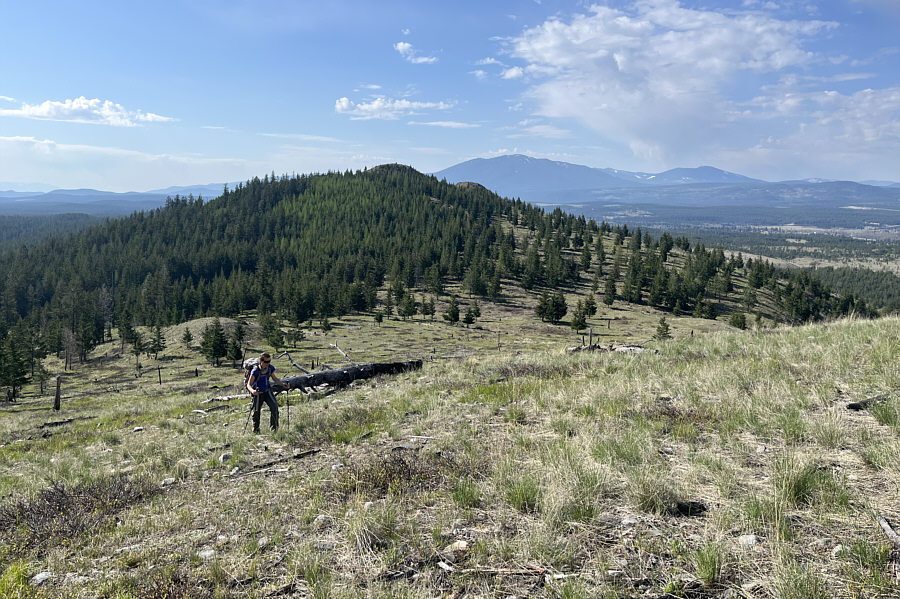
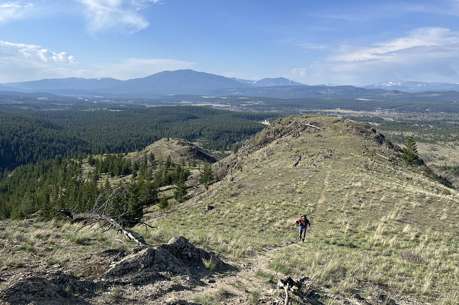
Zosia climbs up the third high point with the second high point in the background.
Why didn't we drive up here? Sonny is surprised to see a car on the top of the third high point.

Photo courtesy of Zosia Zgolak

Some people even try to continue up Lakit Mountain behind us...no thanks! 
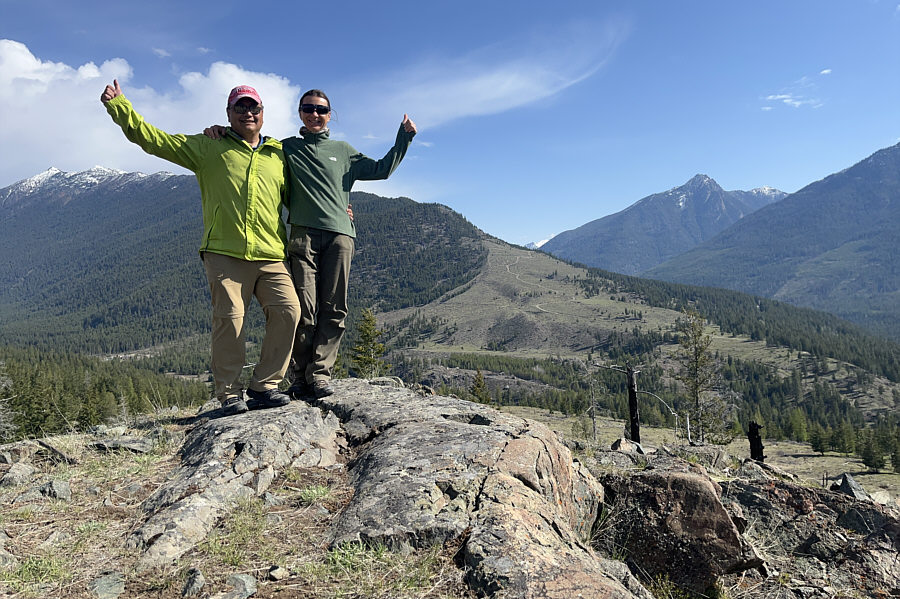
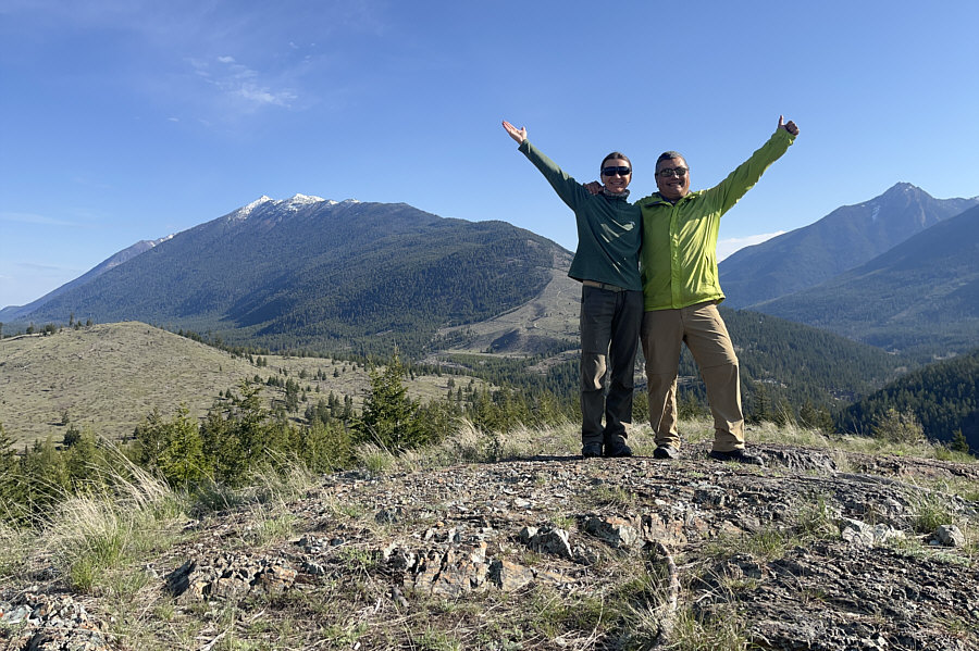
Sonny and Zosia stand on top of the third high point (1080 metres).
Great views on this hike from start to finish! 
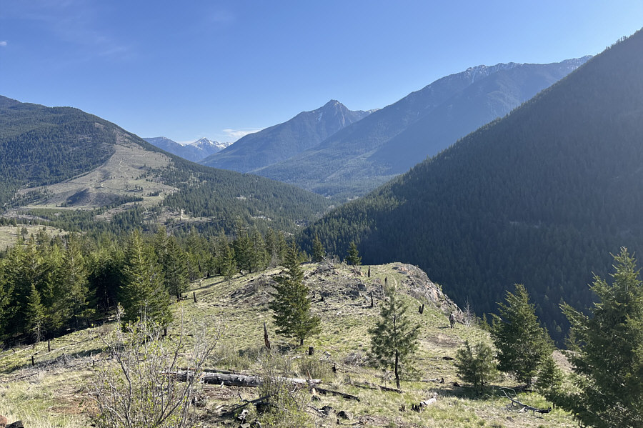
As she descends the ridge, Zosia gets a nice view of The Steeples to the southeast.
We spotted three of them! 
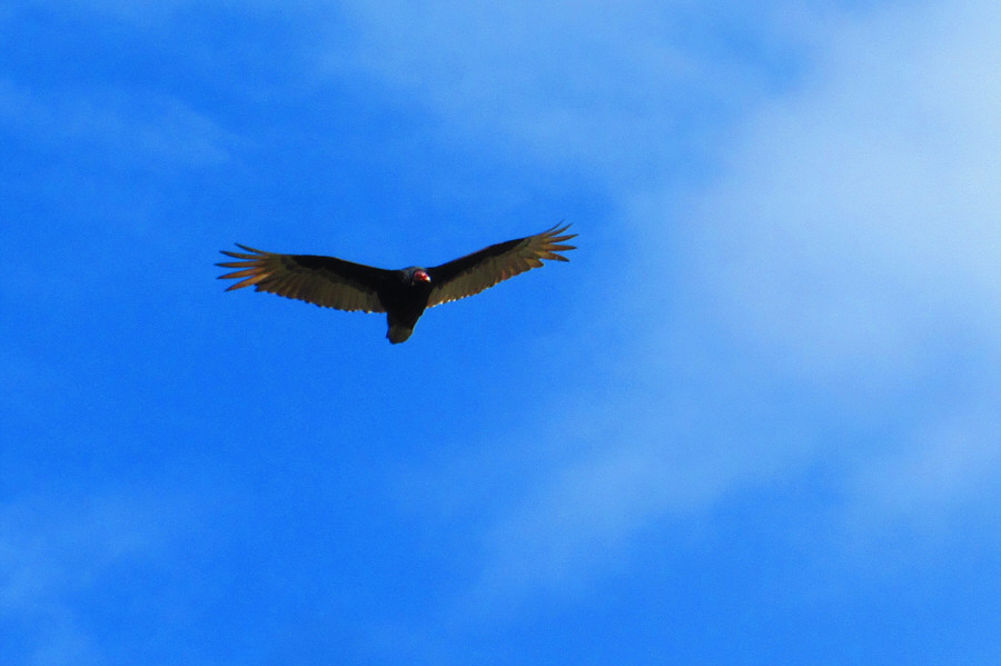
A turkey vulture cruises high above Brewery Ridge.

Photo courtesy of Zosia Zgolak

A real gem of a hike--highly recommended! 
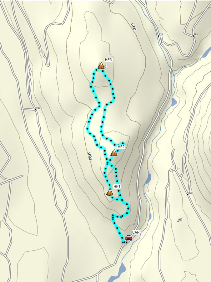
Total Distance:  4.6 kilometres
Round-Trip Time:  3 hours 11 minutes
Cumulative Elevation Gain:  260 metres

GPX Data