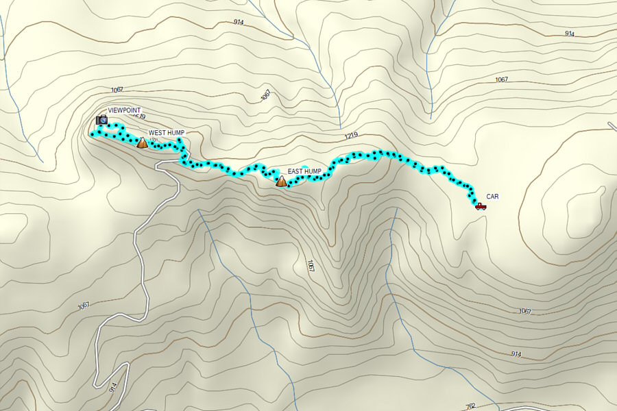
If coming from the Esso gas station in Lumby, drive east on Highway 6 for 1.4 kilometres and turn right onto Creighton Valley Road (CVR). Drive 7.5 kilometres to where pavement ends and becomes 2WD gravel. Drive another 8.5 kilometres and turn left onto Clier Lake Forest Service Road (FSR). If coming from Needles Ferry Terminal, drive west on Highway 6 for 76.0 kilometres and turn left onto CVR. Drive 5.0 kilometres to where pavement ends and becomes 2WD gravel. Drive another 12.0 kilometres and turn right onto Clier Lake FSR. For both approaches, drive north on Clier Lake FSR for 1.9 kilometres and turn left onto a rougher road (high clearance vehicle recommended). Ignore all side roads and drive 4.9 kilometres to a glade. Park in a pullout just before the road re-enters forest.
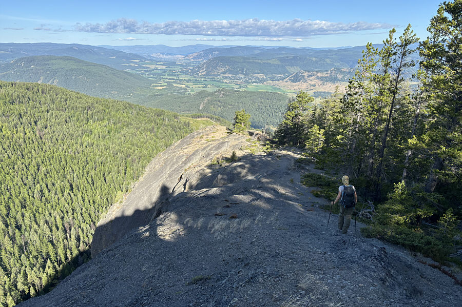
Following the continuation of the access road into forest, Zosia and I walked past a marshy pond before turning westward to ascend a well-defined trail going up the eastern hump. Other than the odd steep section, there are few difficulties here, and we were on top of the eastern hump--the de facto true summit of the Camels Hump massif--in less than an hour. From there, we dropped steeply into the gap between the two humps and crossed the connecting ridge to the western hump. The ascent to the top of the western hump entails a little bit of easy scrambling but is otherwise straightforward. Being cloaked in forest, the gazetted summit is rather disappointing, but orange markers lead to two superlative viewpoints further to the west.
After visiting both viewpoints via a short
loop, Zosia and I made our way back to the top of the western hump and
from there, we retraced our steps across the gap, over the eastern hump,
and back to our waiting car without any problems. Photo courtesy of Zosia
Zgolak
Photo courtesy of Zosia Zgolak
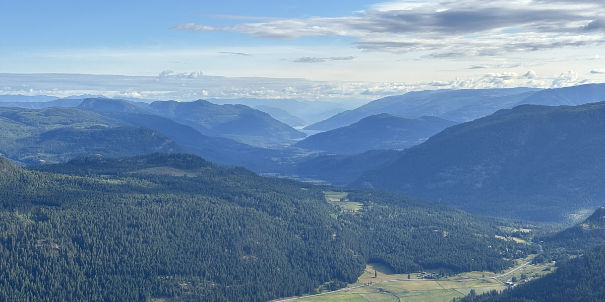
A break in the forest grants this view of Mabel Lake to
the north.
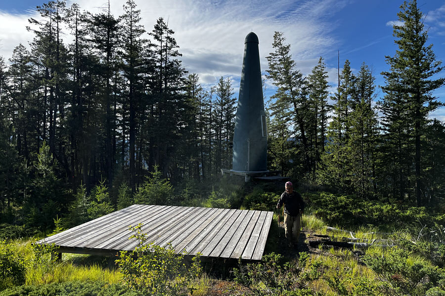
Photo courtesy of Zosia Zgolak
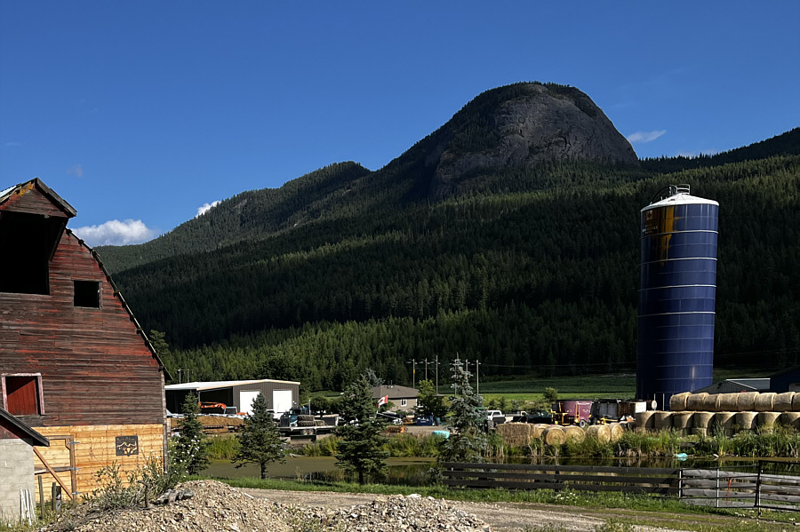
Here is a view of Camels Hump from the
highway a couple of days before the hike.
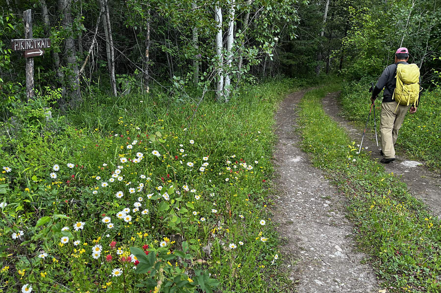
Sonny starts hiking along the
continuation of the access road.
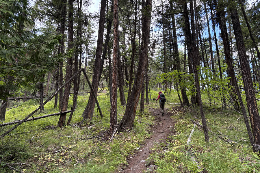
A good trail climbs up the east ridge
of Camels Hump.
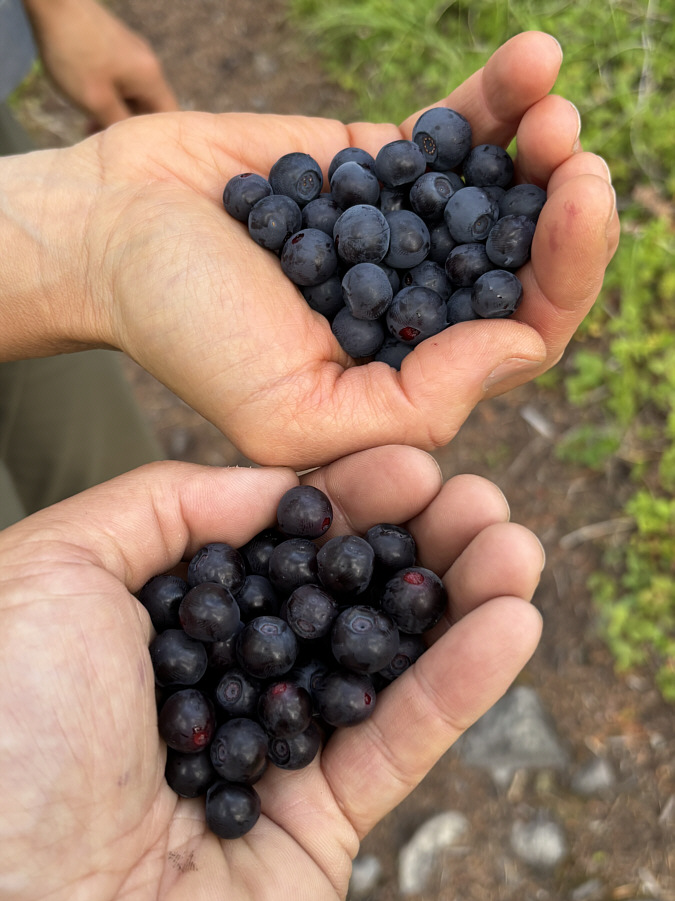
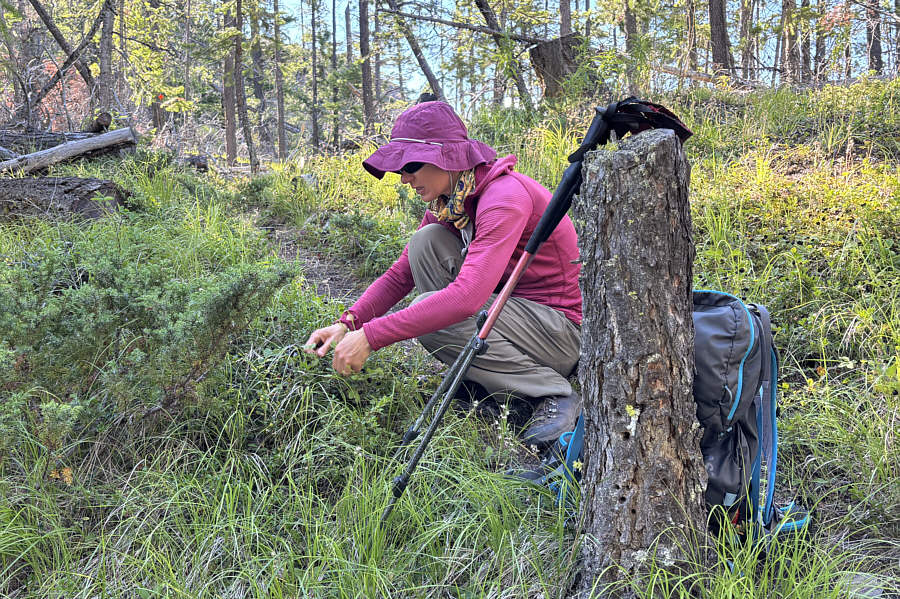
On this day, ripe huckleberries abound
along the trail.
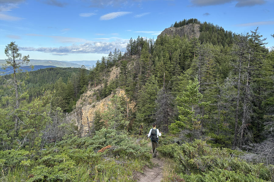
From near the top of the eastern hump,
Sonny gets his first clear look at the western hump which is the
gazetted summit of Camels Hump.
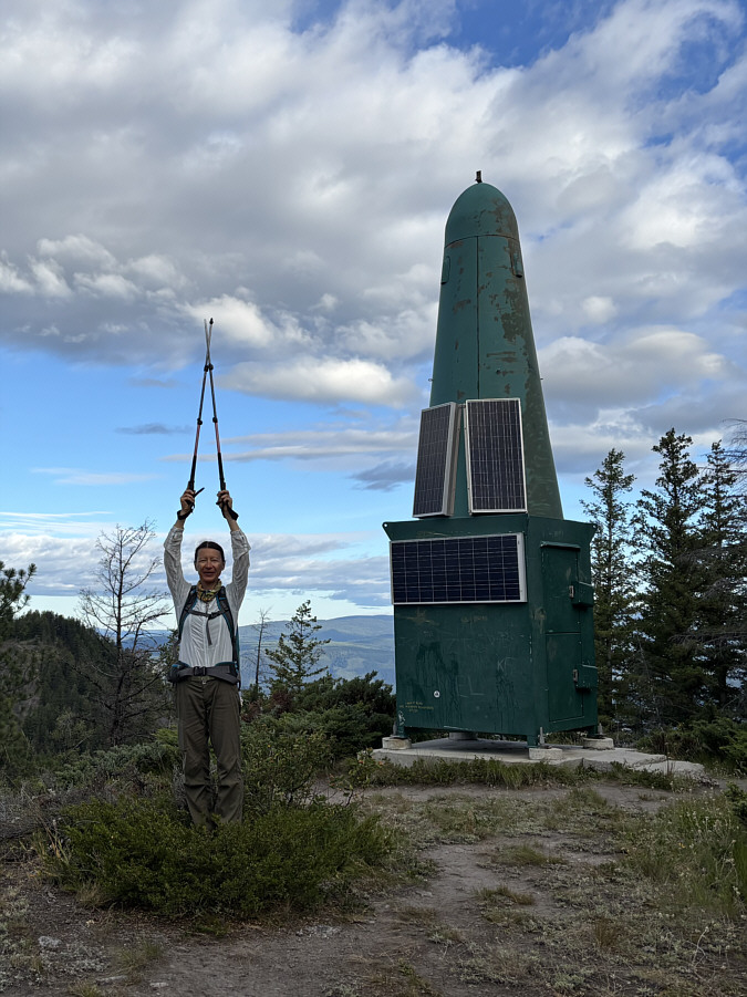
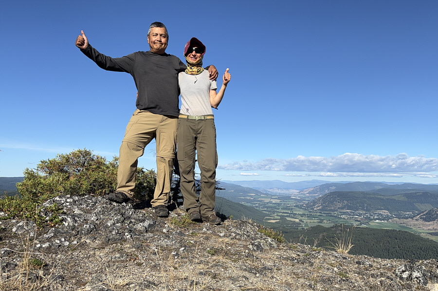
Zosia emulates a "green rocket" on top
of the eastern hump (1319 metres) which is the highest
point of the Camels Hump massif.
Zosia crosses the connecting ridge
between the two humps.
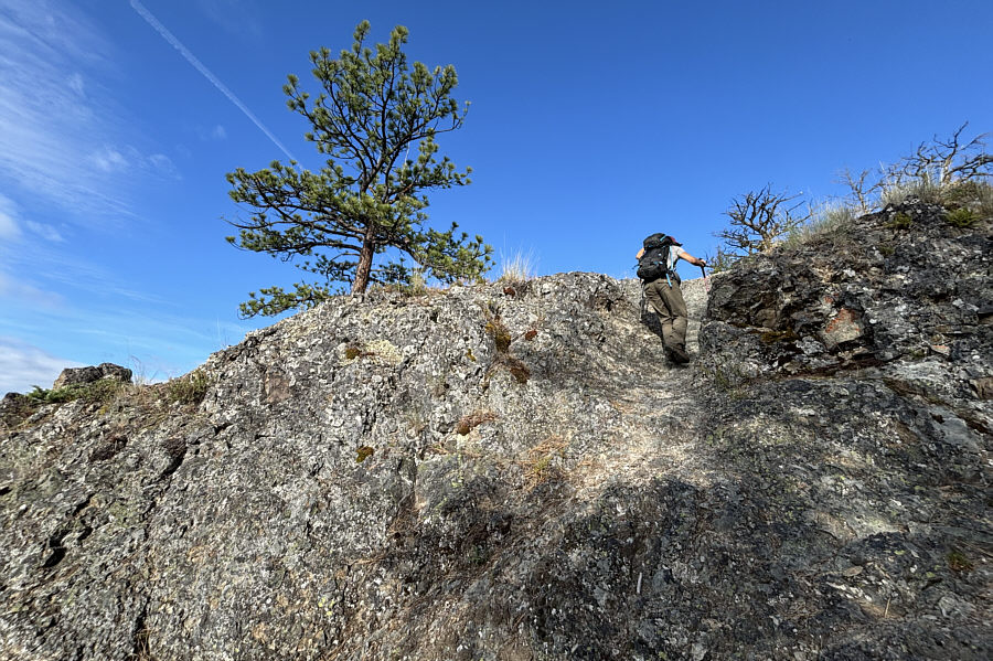
Zosia scrambles up a short rock band
en route to the top of the western hump.
A helipad and another green rocket
occupy the gazetted summit of Camels Hump (1309 metres).
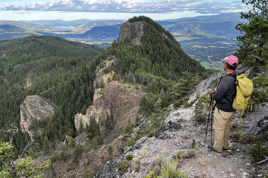
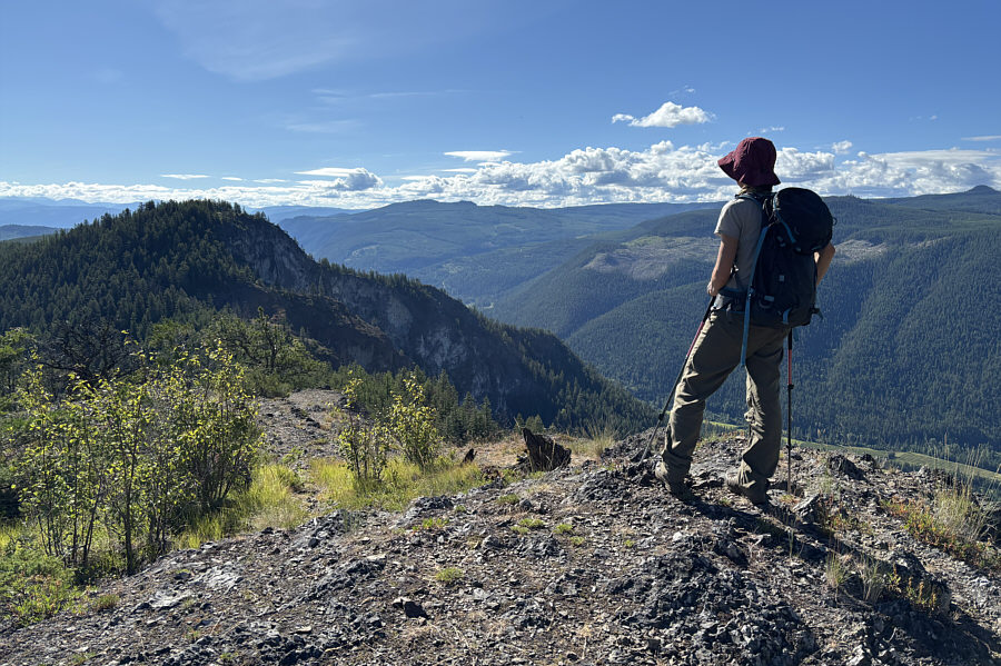
Zosia drops down to one of two
viewpoints at the west end of Camels Hump.
Sonny and Zosia reach the first
viewpoint (1275 metres).
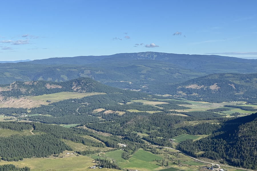
Visible to the northwest is Silver
Star Mountain.
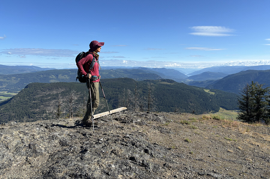
Zosia arrives at the second viewpoint
(1285 metres).
Zosia cannot resist stopping for more
huckleberries.
On the return hike, Zosia gets a good
look at the eastern hump from the western hump.
Total Distance: 7.2 kilometres
Round-Trip Time: 4 hours 19 minutes
Cumulative Elevation Gain: 362 metres