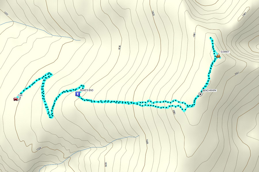
Round-Trip Time: 4 hours 43 minutes
Cumulative Elevation Gain: 526 metres
|
|
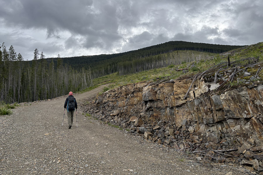
Zosia walks along the continuation of the access road to Elmer Peak. |
|
|
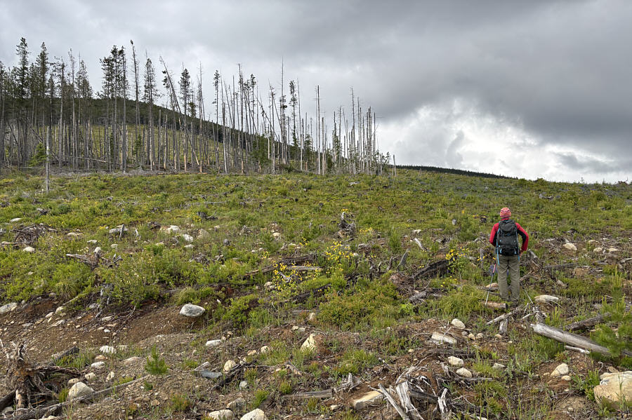
At road's end, Zosia heads up a vast cut block. |
|
|
Ascending the cut block is somewhat unpleasant but not overly difficult. |
|
|
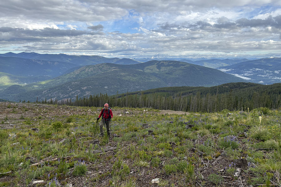
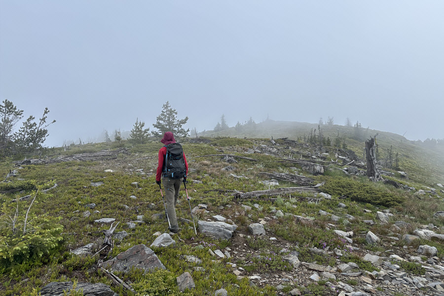
Zosia is about to enter forest at the top edge of the cut block. |
|
|
Zosia stands over a survey benchmark on the broad summit ridge. |
|
|
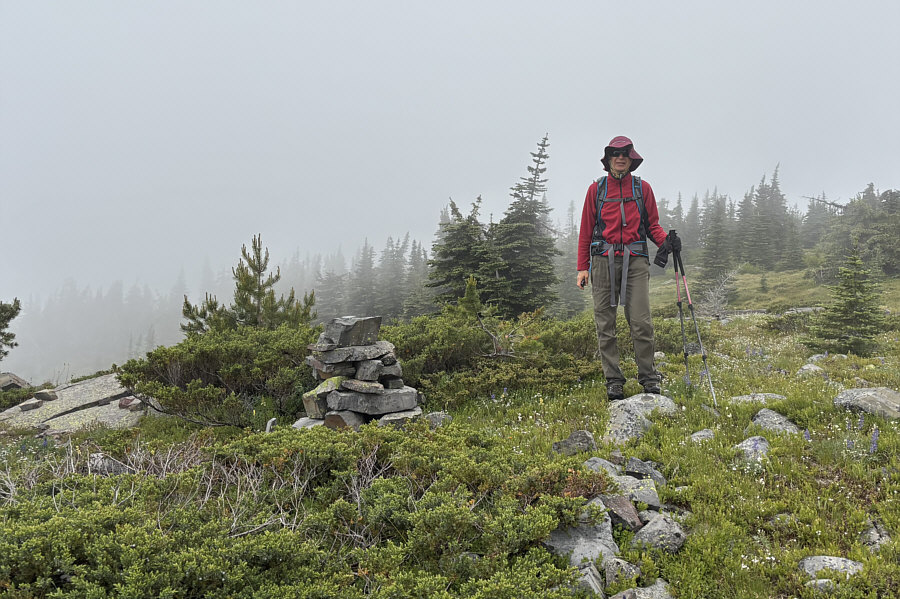
Zosia approaches the true summit under a foggy mist. |
|
|
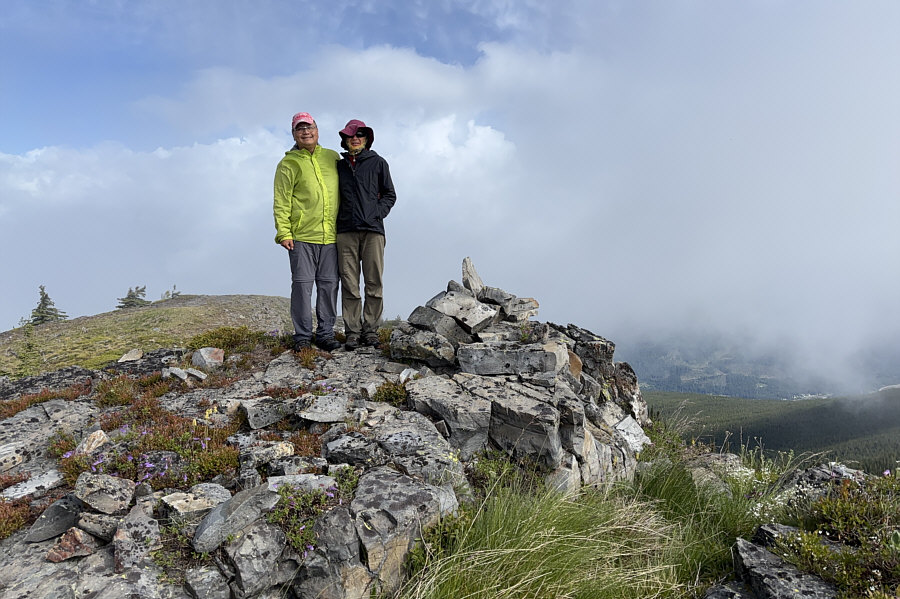
Sonny and Zosia stand on the summit of Elmer Peak (2057 metres). |
|
|
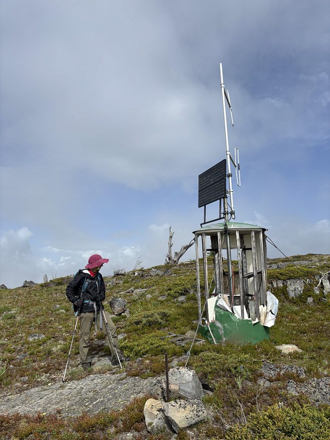
The walls of this antenna building appear to have been torn apart by something. |
|
|
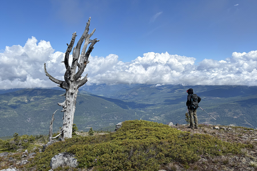
Zosia wanders to the north end of the summit ridge for a better view of the distant forested landscape. |
|
|
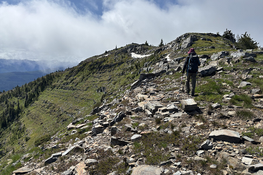
Zosia gets a glimpse of Elmer Peak's northeast slope as she heads back toward the summit. |
|
|
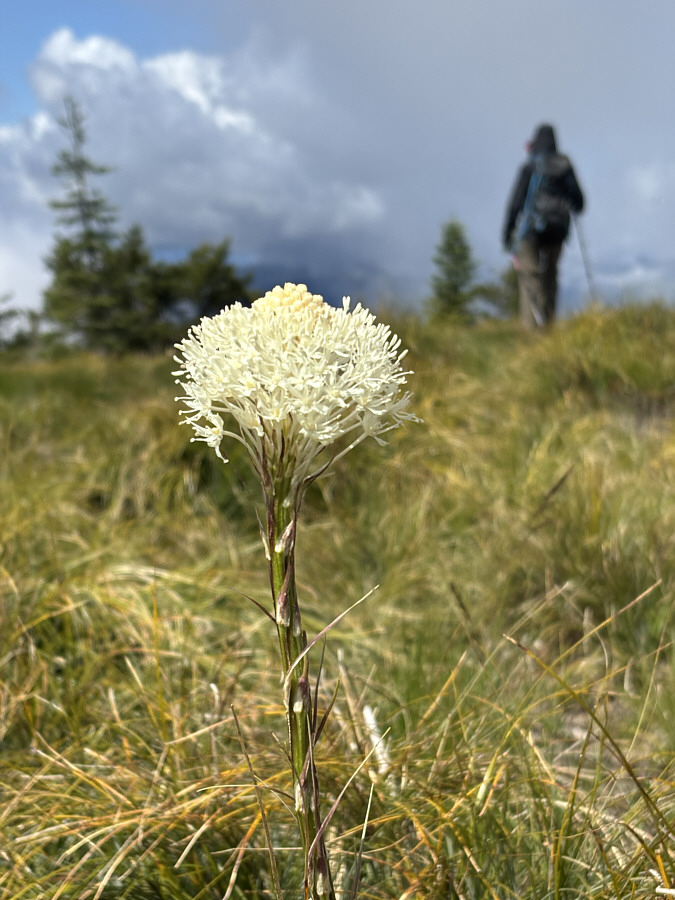
Beargrass can be found on the summit ridge of Elmer Peak. |
|
|
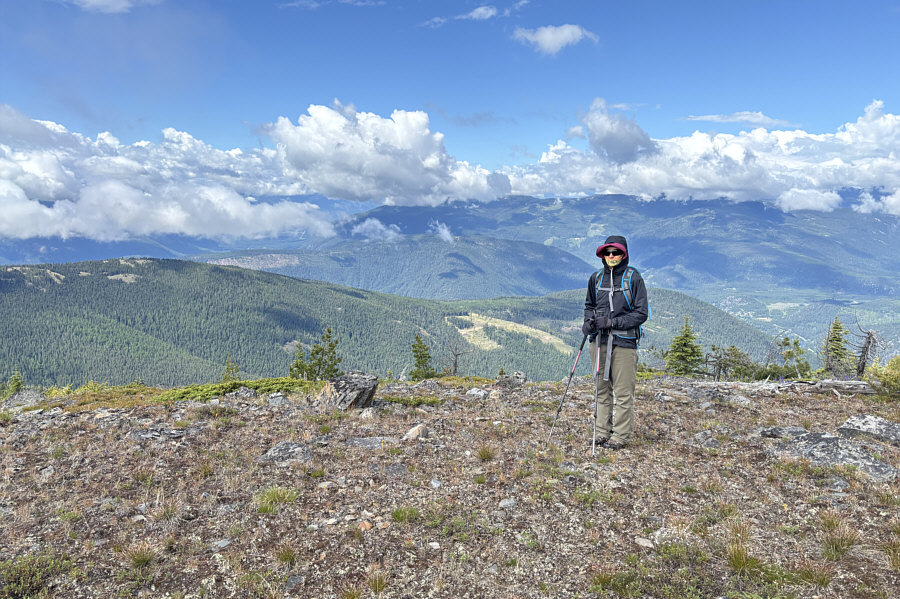
Just before dropping down into forest, Zosia checks out the view to the south. Beyond the next forested ridge is the United States of America. |
|
|
Total Distance: 7.7 kilometres Round-Trip Time: 4 hours 43 minutes Cumulative Elevation Gain: 526 metres |