Photo courtesy of Zosia Zgolak
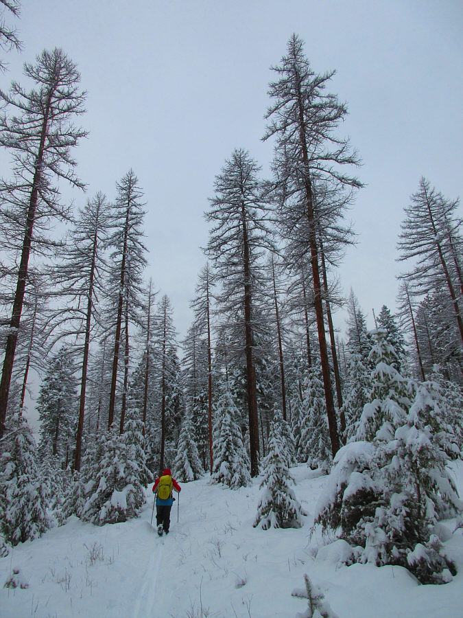
Sonny passes under some impressive larch trees.
Photo courtesy of Zosia Zgolak
|
|
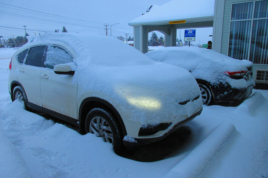
A lot of snow fell on the city of
Kalispell overnight. Photo courtesy of Zosia Zgolak |
|
|
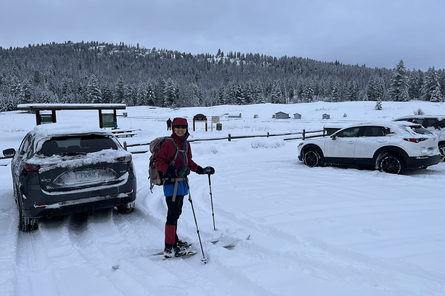
Foy's Overlook is visible behind Zosia as she prepares to start skiing from the trailhead at Herron Park. |
|
|
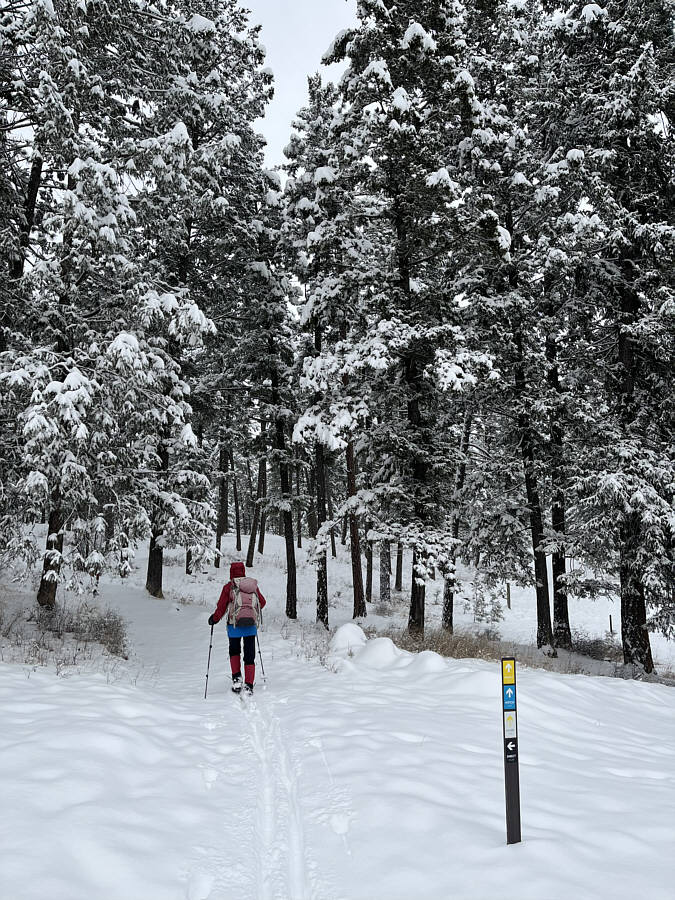
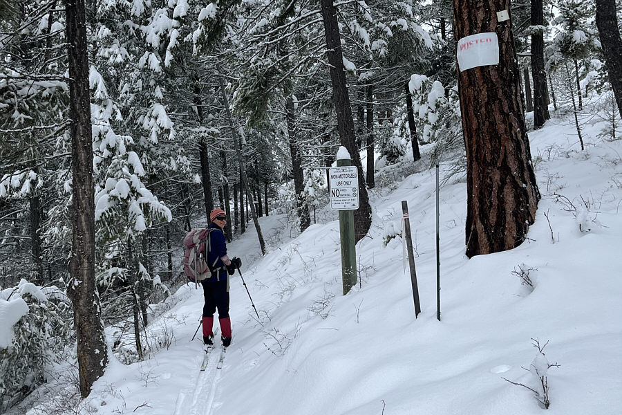
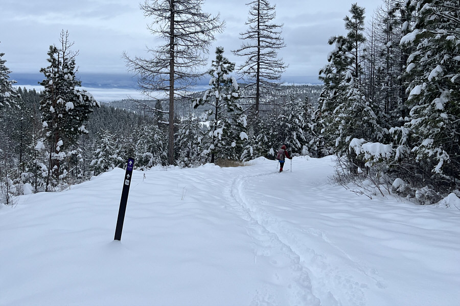
The trails here are all marked and colour-coded. |
|
|
Sonny passes under some impressive larch trees. Photo courtesy of Zosia Zgolak |
|
|
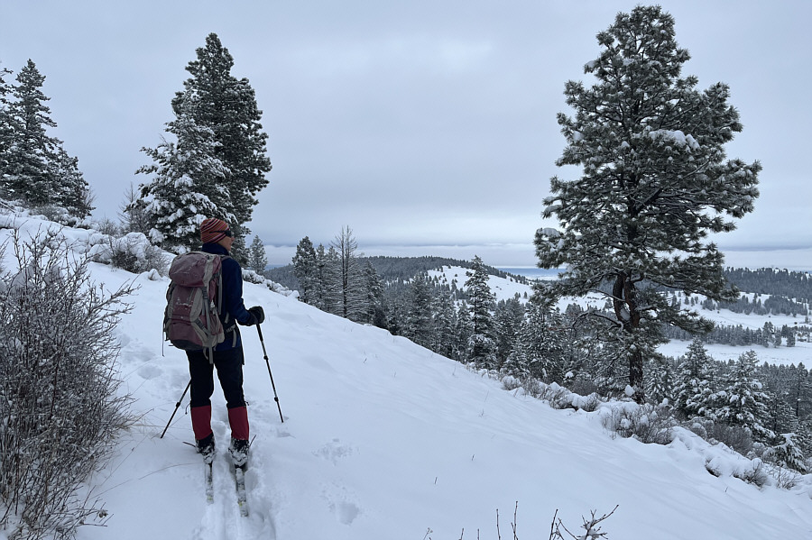
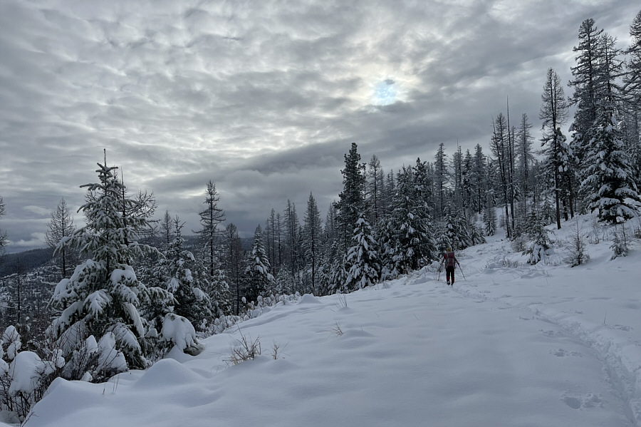
Higher up, the trees thin out a bit to grant Zosia some distant views. |
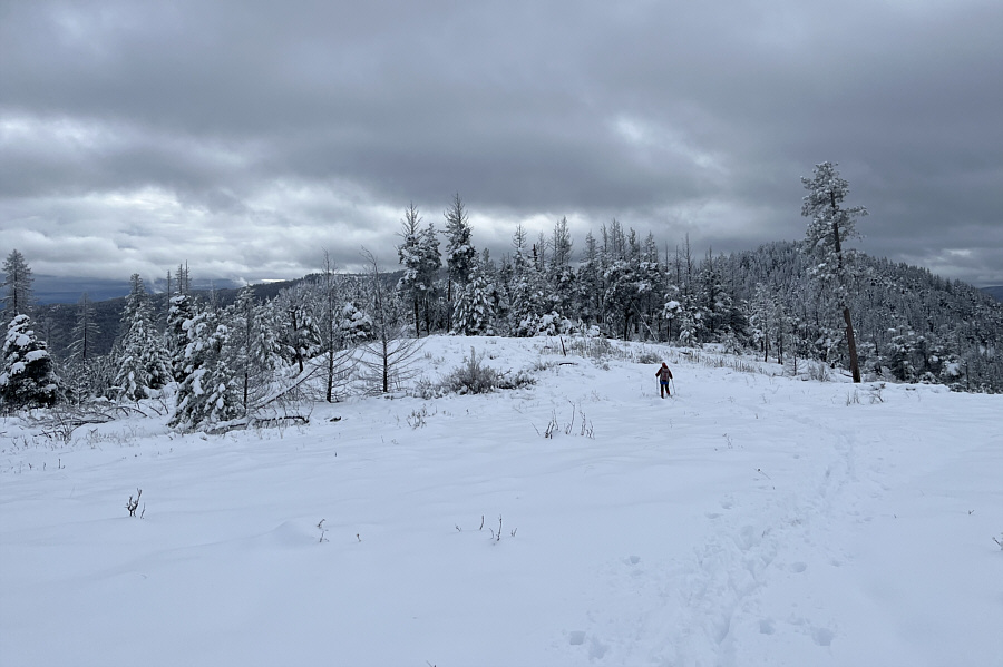
Foy's Overlook is probably named for this viewpoint above Foy Lake, but this is not the highest point.
 |
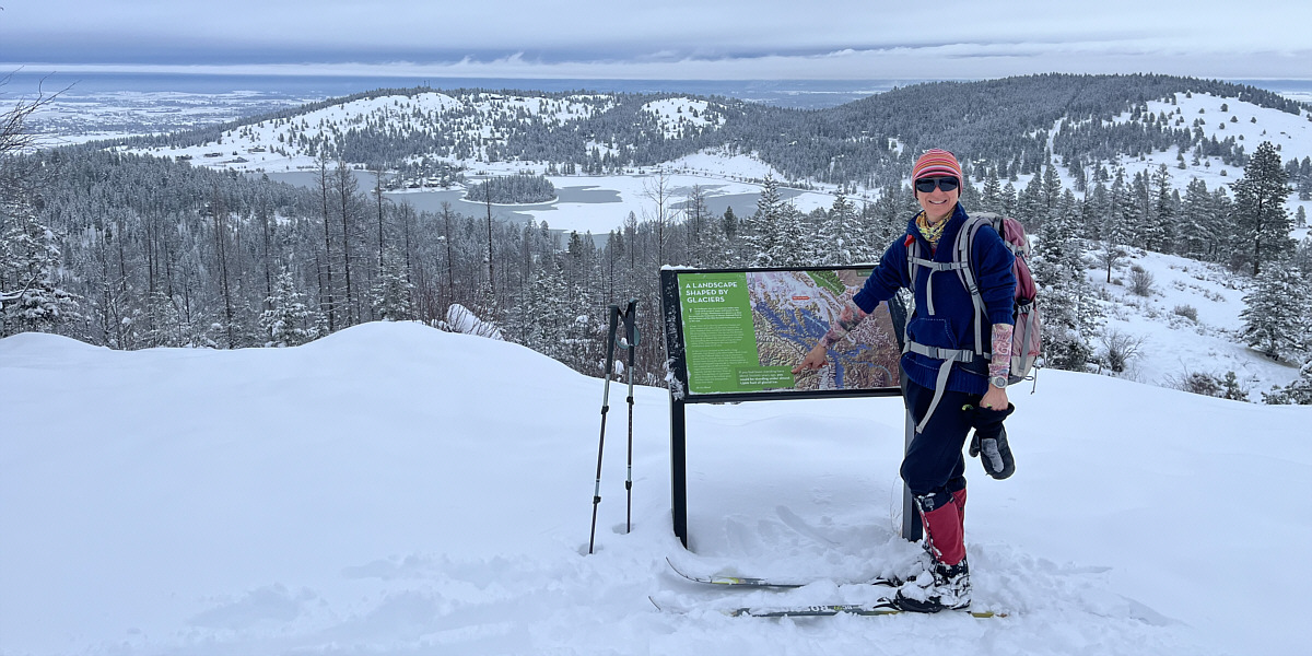
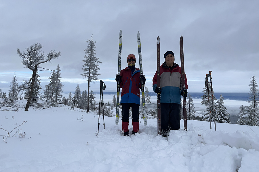
Zosia stands on the actual high point of Foy's Overlook (1252 metres). |
When Zosia and I resumed skiing, we backtracked along Chase Trail to the junction with Plum Creek Road. Rather than going back the same way, we chose to follow Plum Creek Road out. On paper at least, the road looked like it would be a slightly longer but generally straightforward route for getting back to the trailhead. Unfortunately, sticky snow and gentle grades made it impossible to sustain any forward momentum, and our ski out along Plum Creek Road turned into a bit of an epic slog. Toward the end, we abandoned the road to descend a more "Direct Route" (black markers) to the bottom. Direct Route is a perhaps the most difficult trail in the entire FTBT network, but after the drudgery of Plum Creek Road, we welcomed the added exhilaration for better or for worse. Emerging from the forest, we concluded our ski tour with an easy glide across the meadow back to the trailhead.
 |
Chase Overlook can be seen at distant right as Zosia descends from the top of Foy's Overlook. Note the private residences on the hillside. |
 |
Chase Trail runs along an easement through private property. |
 |
A tiny patch of blue sky is an encouraging sight as Zosia climbs steadily up the trail. |
 |
A large clearing sits atop Chase Overlook. |
 |
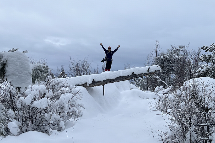
Zosia and Sonny proudly present their skis near the true high point of Chase Overlook (1412 metres). |
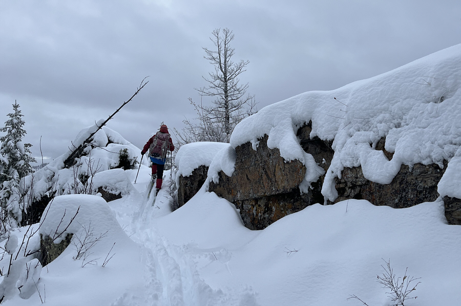 |
Zosia maneuvers past some big boulders a short distance south of the true high point. |
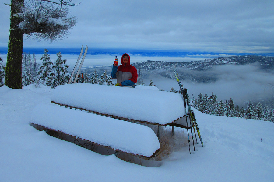 |
Chase Overlook is probably
named for this viewpoint
with a picnic table, but it is
not the highest point. Photo courtesy of Zosia Zgolak |
 |
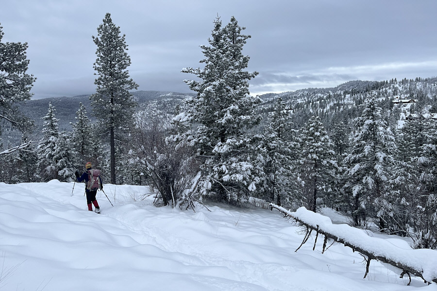
Zosia descends Plum Creek Road on the return ski. |
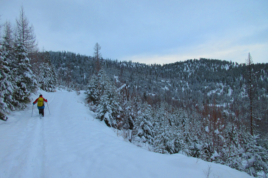 |
The descent of Plum Creek Road would
be more strenuous than expected. Photo courtesy of Zosia Zgolak |
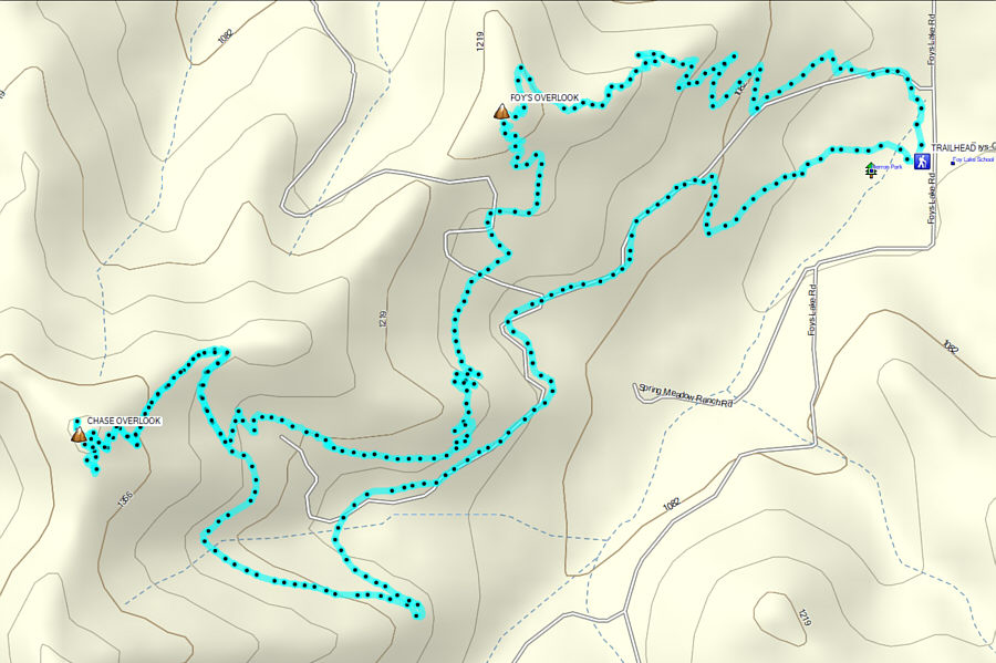 |
Total Distance: 16.0 kilometres Round-Trip Time: 6 hours 37 minutes Cumulative Elevation Gain: 487 metres |