BOU AVENUE
Gawby Gulch

Braving frigid temperatures throughout the province on 8 February 2025, Zosia Zgolak and I went for a backcountry ski tour up Gawby Gulch at the north end of Tent Ridge in Alberta's Spray Valley Provincial Park.  The route is described in Gillean Daffern's now-out-of-print guidebook, Kananaskis Country Ski Trails.  We had no intentions of climbing all the way up Tent Ridge, but we would go as high as our comfort level would allow based on the local snow and avalanche conditions.

Starting from a pullout (50.84680, -115.35676) along Mount Shark Road, Zosia and I made the mistake of crossing the road and following an obvious skin track heading west into forest.  This was actually another access route to Tent Ridge (via Monica Brook) but not the one we wanted, and we quickly backtracked to start again.  The correct trailhead is actually about a hundred metres past the pullout where an obvious logging corridor branches off to the left from Mount Shark Road.  We could still see an old ski or snowshoe track here, but we had to break trail since no one had ventured here since the last snowfall.  After skiing about half a kilometre along the logging corridor, we again veered left onto a narrower path through the forest.  This path eventually led us to a drainage--presumably Gawby Gulch--and we followed this up to a lightly forested plateau where we got our first good look at the open north end of Tent Ridge.  Our comforting old ski/snowshoe track soon petered out as we crossed the plateau and began climbing more steeply up a larch-covered slope.  Although Zosia did all the trail-breaking, I still had a hard time keeping up with her as I constantly sank in her tracks.  We eventually entered a large open bowl and continued climbing until we reached nearly the last few lonely trees.  Snow stability had been good throughout our ascent, and we never witnessed any sloughing or whumpfing.  Had the weather been nicer, we might have considered climbing all the way to the ridge crest, but with cloud cover increasing and visibility deteriorating, we decided to stop and prepare for our descent.

The deep powder in the bowl was a treat to ski although I still managed to scrape over one hidden shark.  I also had a good face plant to add to the fun.  The larch-covered slope was a little trickier to descend, and Zosia and I gravitated toward an obvious gully feature to try and avoid all the trees.  Descending this gully was still challenging for us, and we skied fairly cautiously here.  Slowly but surely, we made it down to the plateau and put the most difficult skiing behind us.  The remainder of the ski back down Gawby Gulch and out the logging corridor went largely without a hitch.
Take 2! 
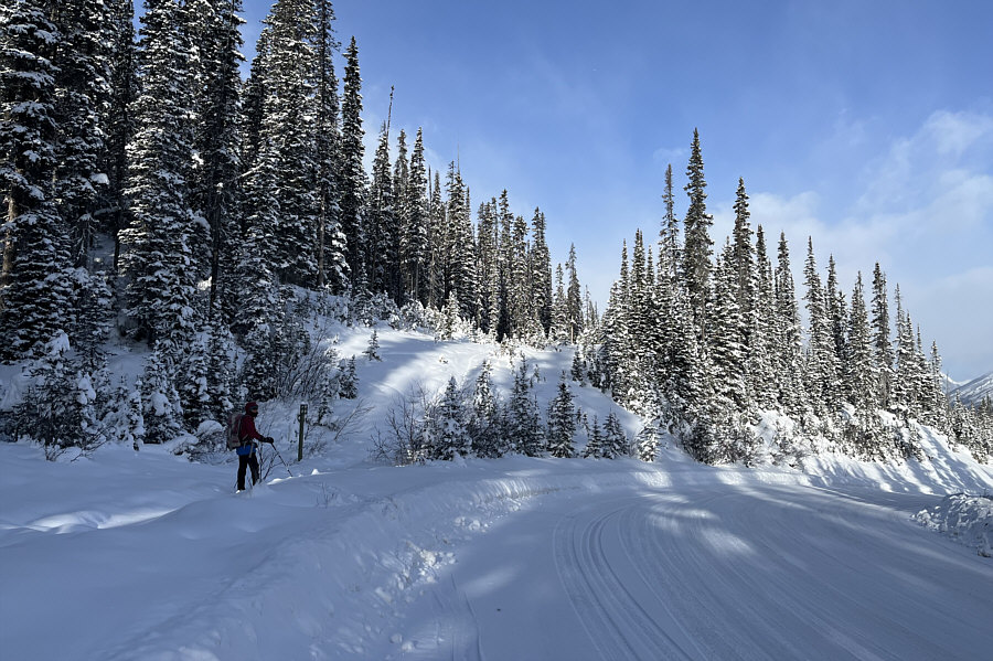
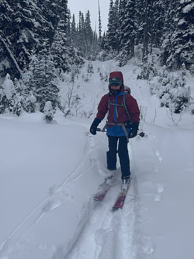
Zosia veers off Mount Shark Road to follow this logging corridor--the correct access point for Gawby Gulch.
The Road Not Taken 
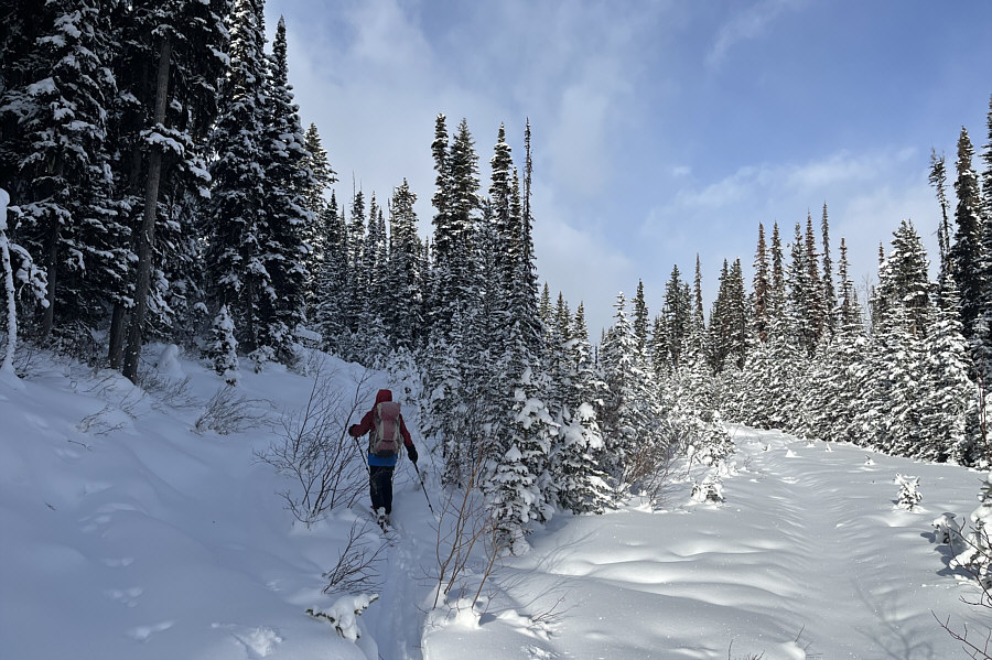
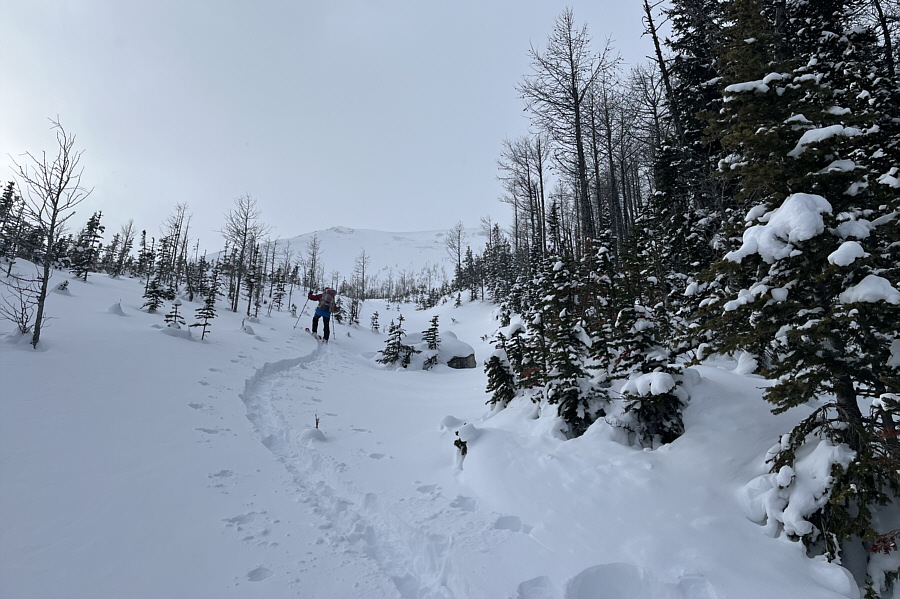
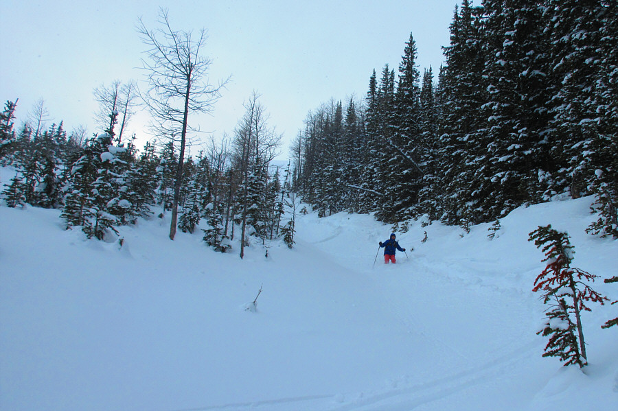
Zosia veers off the logging corridor to follow a narrower path into the forest.
Whew! Good thing we're not going around in circles! 
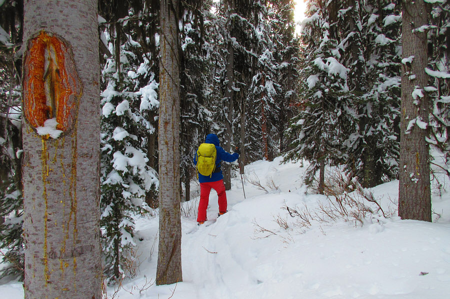
A blaze with an arrow shows that Sonny is on the right track.

Photo courtesy of Zosia Zgolak

Not too deep and not too steep! 
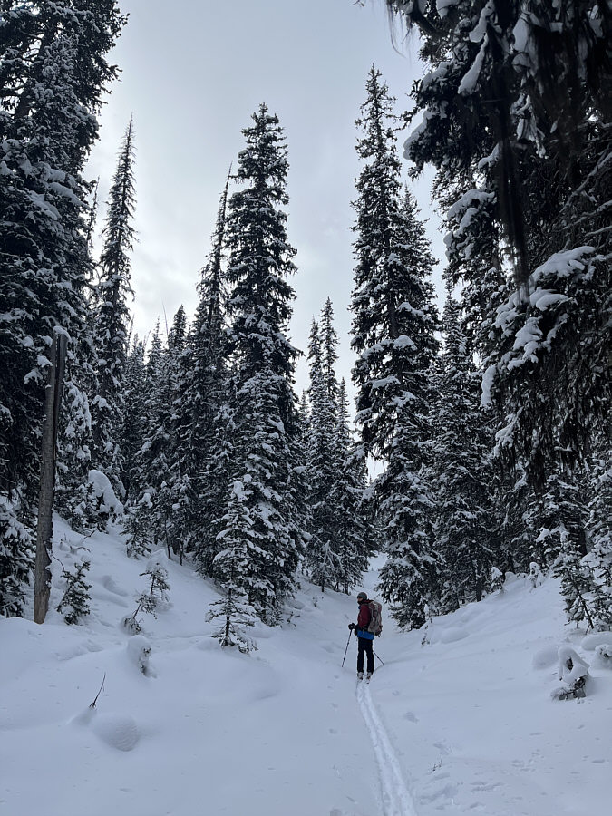
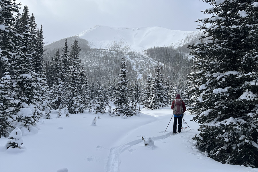
Zosia enters Gawby Gulch.
Unbelievably, we're gonna climb up to the last trees in the bowl! Reaching a plateau, Zosia gets her first glimpse of Tent Ridge.
Quite the grunt...literally from me! Zosia climbs up a steep larch-covered slope.

It's astounding that no one else was here!

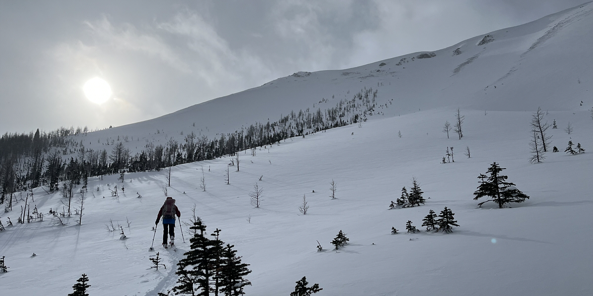
Zosia enters an open bowl and aims to climb up to the last trees (right of centre).


Too bads the clouds are starting to roll in... 
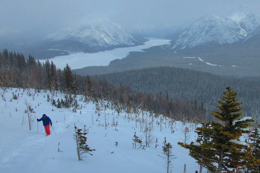
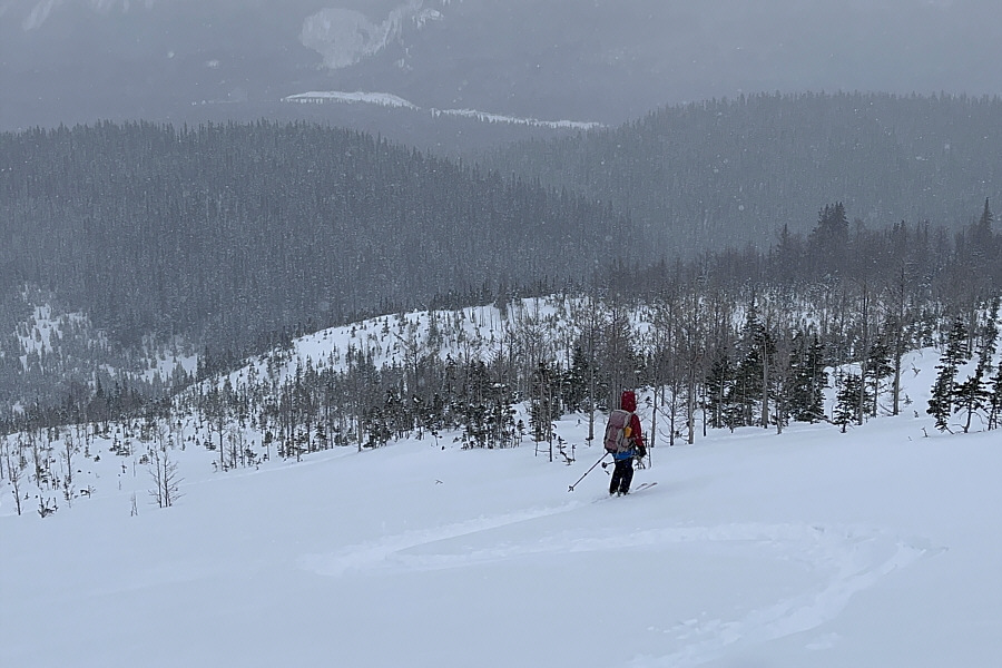
Spray Lakes Reservoir can be seen in the distance behind Sonny.

Photo courtesy of Zosia Zgolak

So fun doing this when your hands are freezing! 
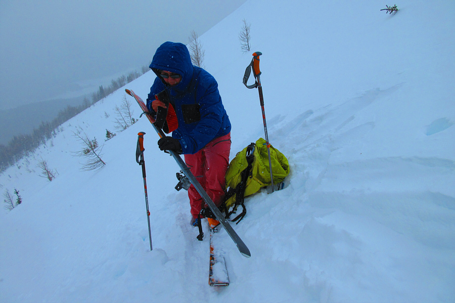
Sonny strips off his climbing skins in preparation for the descent.

Photo courtesy of Zosia Zgolak

Not quite the last tree but close enough! Zosia is ready to rock and roll.

This would've been heavenly with full sunshine!

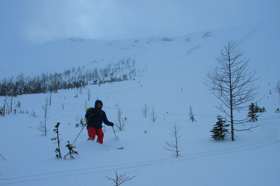
Visibility begins to deteriorate as Zosia descends the slope.


I didn't and hit a shark! Zosia tries to stick close to the trees as she skis down the bowl.
Face plant! 
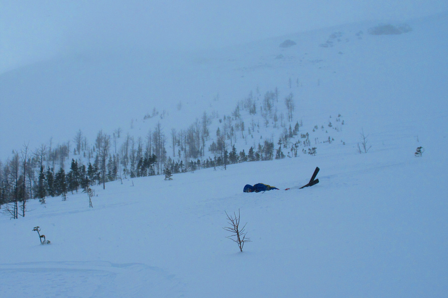
The powder is so deep here that Sonny tries swimming through it.

Photo courtesy of Zosia Zgolak

This would be a great slope for yo-yoing... Sonny finds that it is better to descend the slope upright on his skis.

Photo courtesy of Zosia Zgolak

The powder here was also crazy deep--don't wipe out here! Hoping to avoid trees, Zosia descends a very steep gully.
Looks like I'm just post-holing here! Sonny makes his way down the same steep gully.

Photo courtesy of Zosia Zgolak

Easy street. 
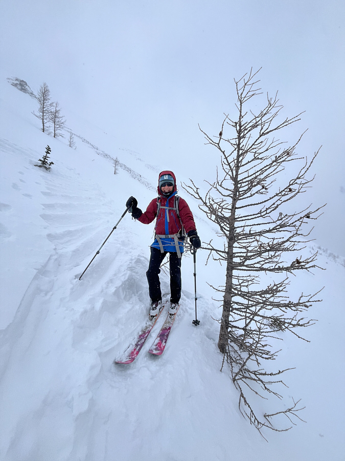
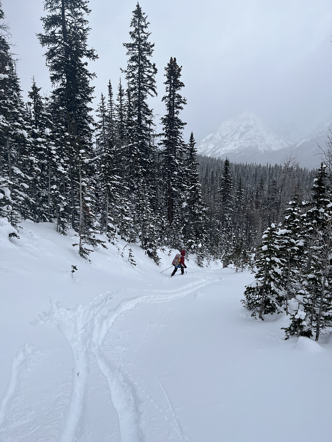
Zosia easily cruises back along the narrow path in the forest.
We may need to come back here soon! 
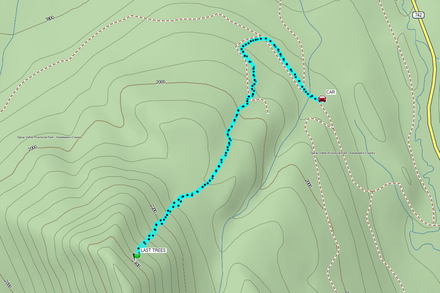
Total Distance:  6.3 kilometres
Round-Trip Time:  4 hours 32 minutes
Cumulative Elevation Gain:  466 metres

GPX Data