This section of Columbia & Western Rail Trail overlooks the trailhead parking area.
Photo courtesy of Zosia Zgolak
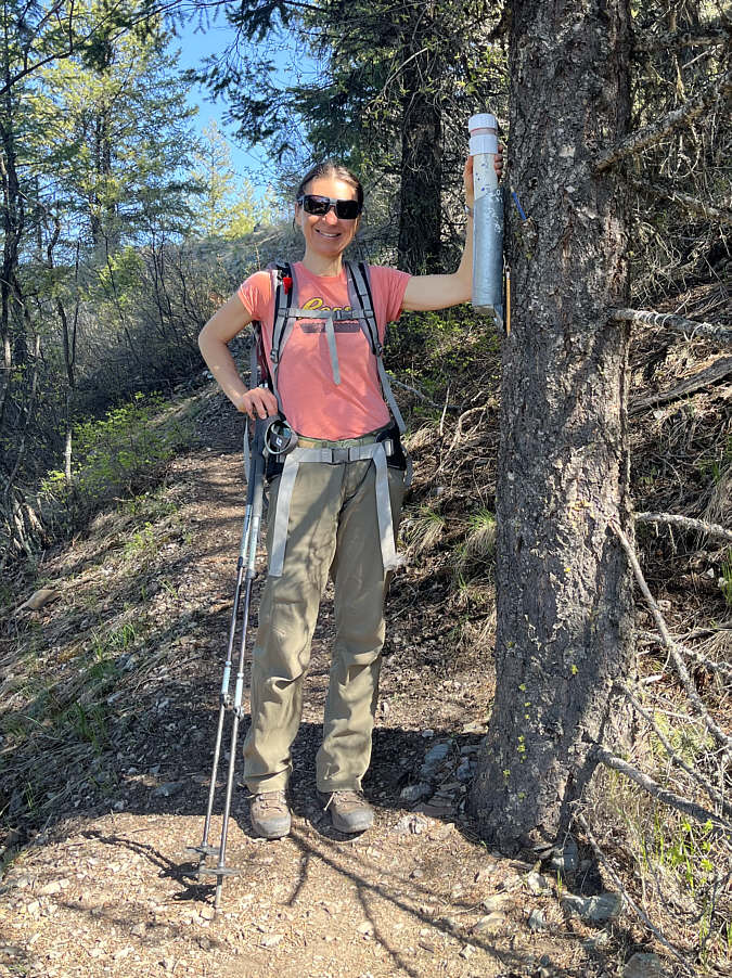
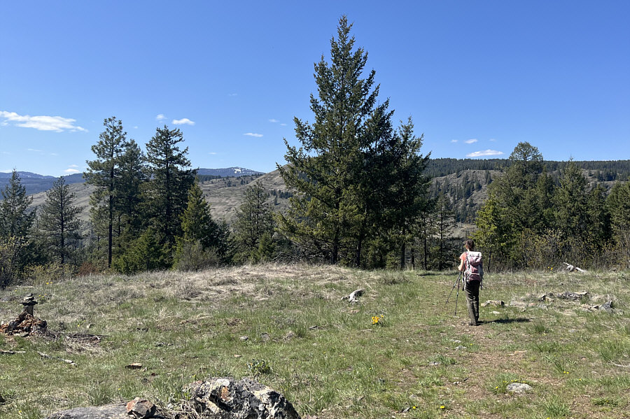
Zosia approaches the final part of the ascent before the top.
|
|
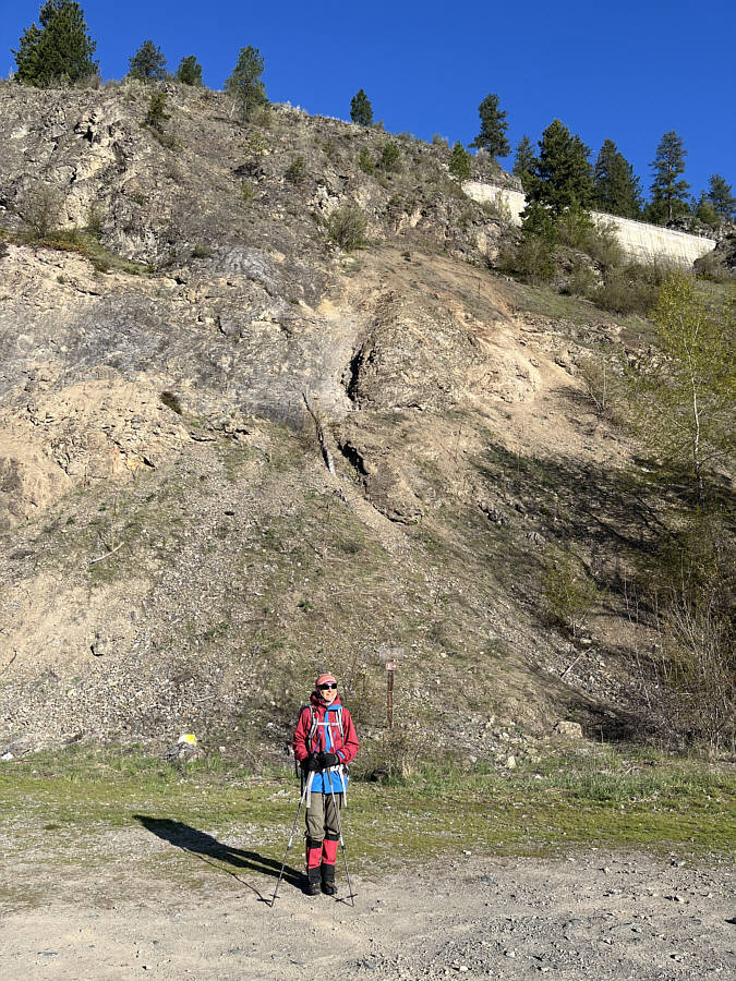
The trailhead parking area for Goat Mountain is situated below some cliffs which are home to flocks of swallows. |
|
|
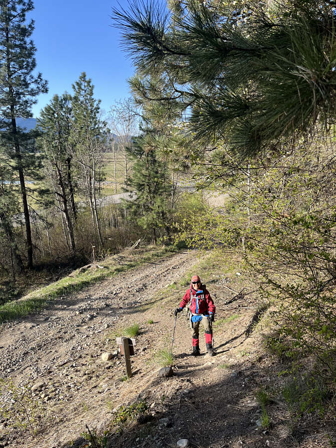
After leaving the parking area, Zosia begins climbing up the trail to Goat Mountain. |
|
|
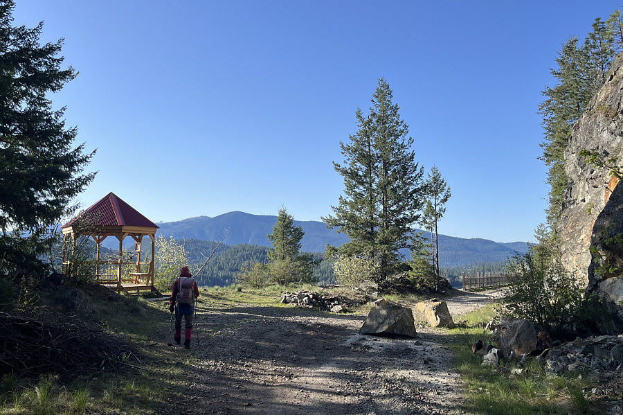
Upon intersecting Columbia & Western Rail Trail (Trans Canada Trail), Zosia goes to check out a nearby gazebo. |
|
|
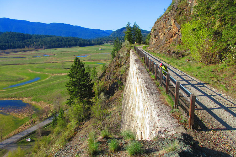
This section of Columbia & Western Rail Trail overlooks the trailhead parking area. Photo courtesy of Zosia Zgolak |
|
|
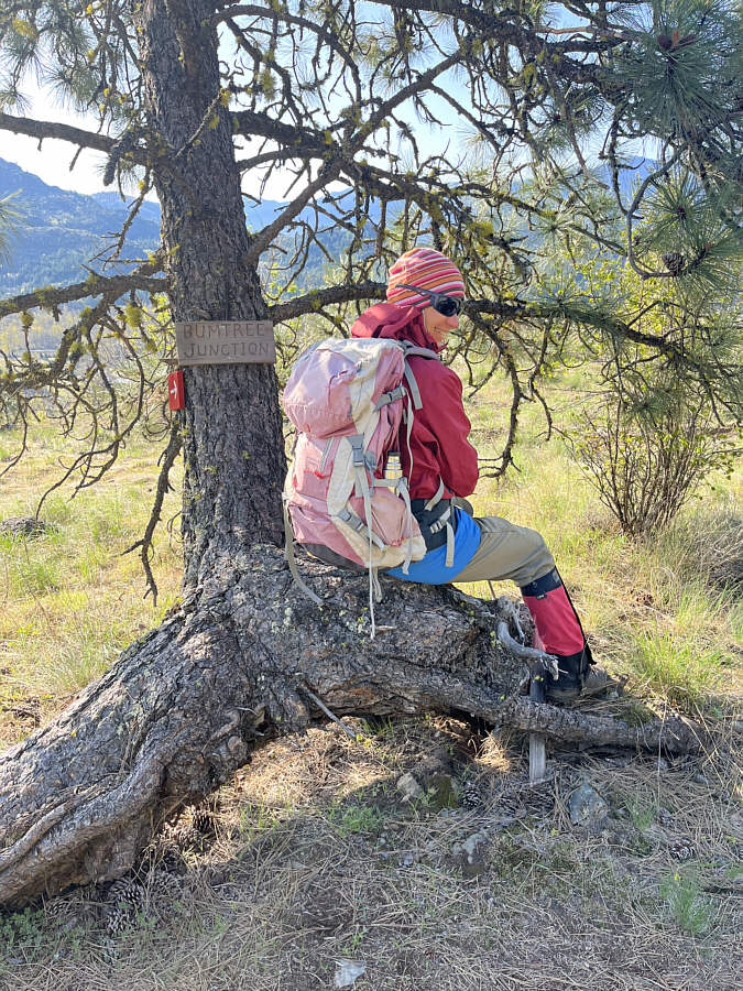
This trail junction is aptly marked. |
|
|
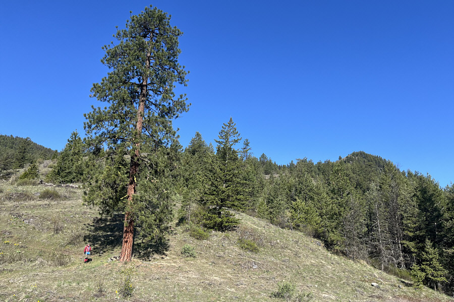
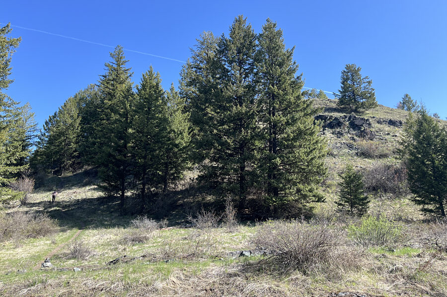
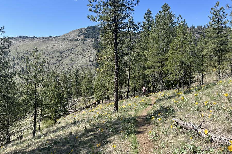
This pine tree partway up Goat Mountain really stands out from the open slope. |
|
|
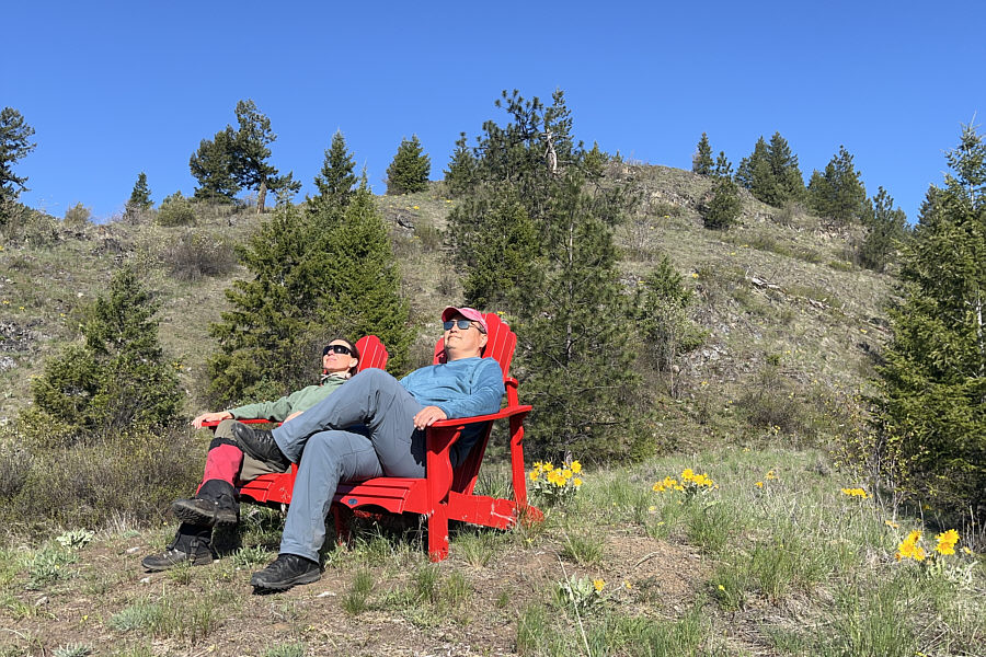
Zosia and Sonny relax in a couple of red Adirondack chairs situated about halfway up Goat Mountain. |
|
|
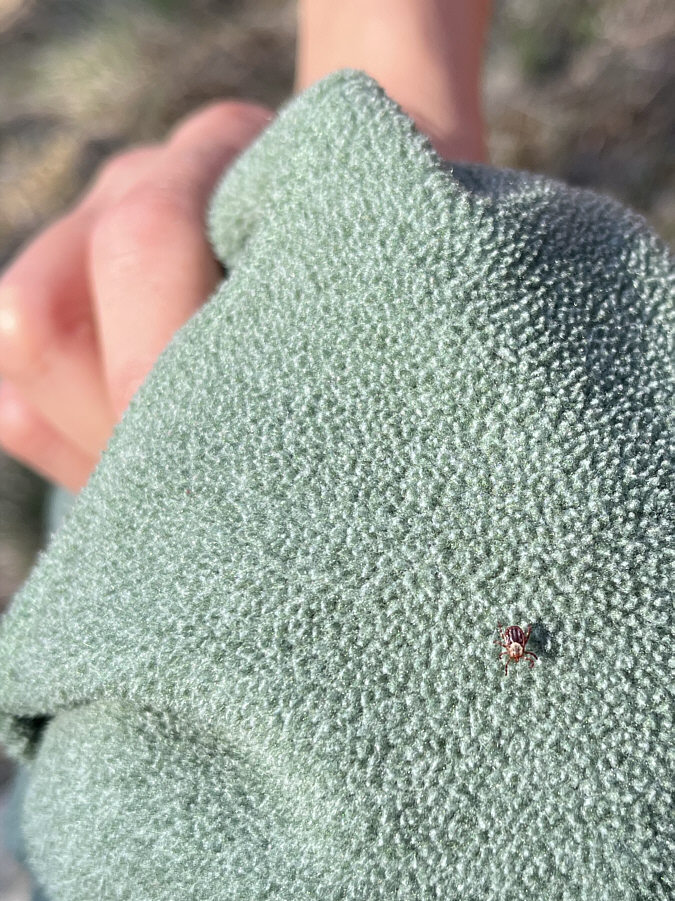
Zosia finds a wood tick crawling on her fleece shirt. |
|
|
Zosia approaches the final part of the ascent before the top. |
|
|
Oddly enough, the summit register is attached to a tree about 30 metres below the top. |
|
|
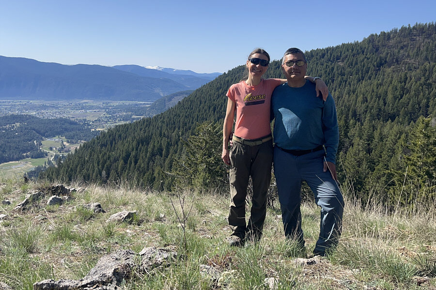
Zosia and Sonny stand on the summit of Goat Mountain (1030 metres). |
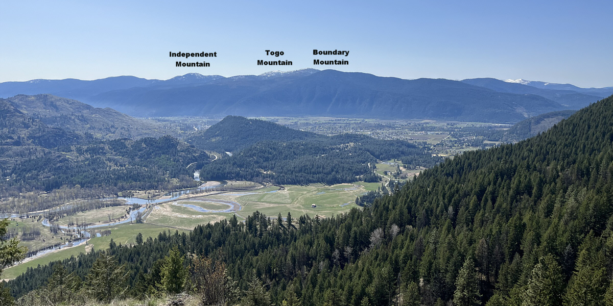
In this view to the south, all the mountains on the horizon are located within the United States of America.
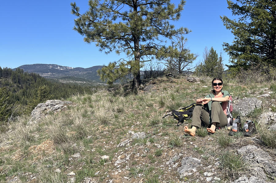 |
Zosia airs out her feet on the summit. |
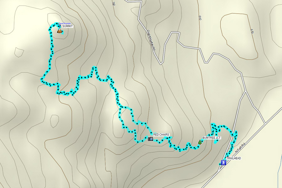 |
Total Distance: 6.6 kilometres Round-Trip Time: 3 hours 33 minutes Cumulative Elevation Gain: 489 metres |
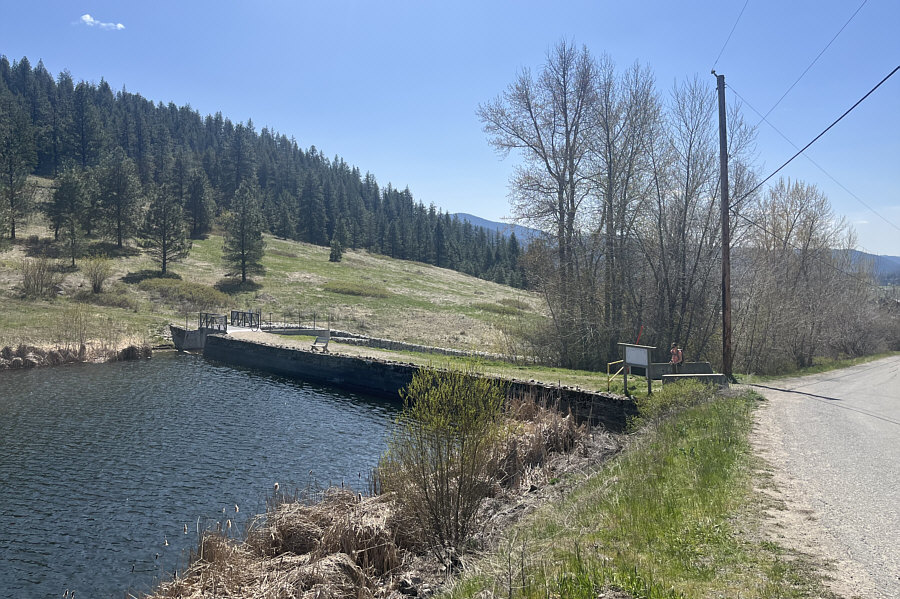 |
Zosia reaches the signed trailhead which is at the west end of a small dam. |
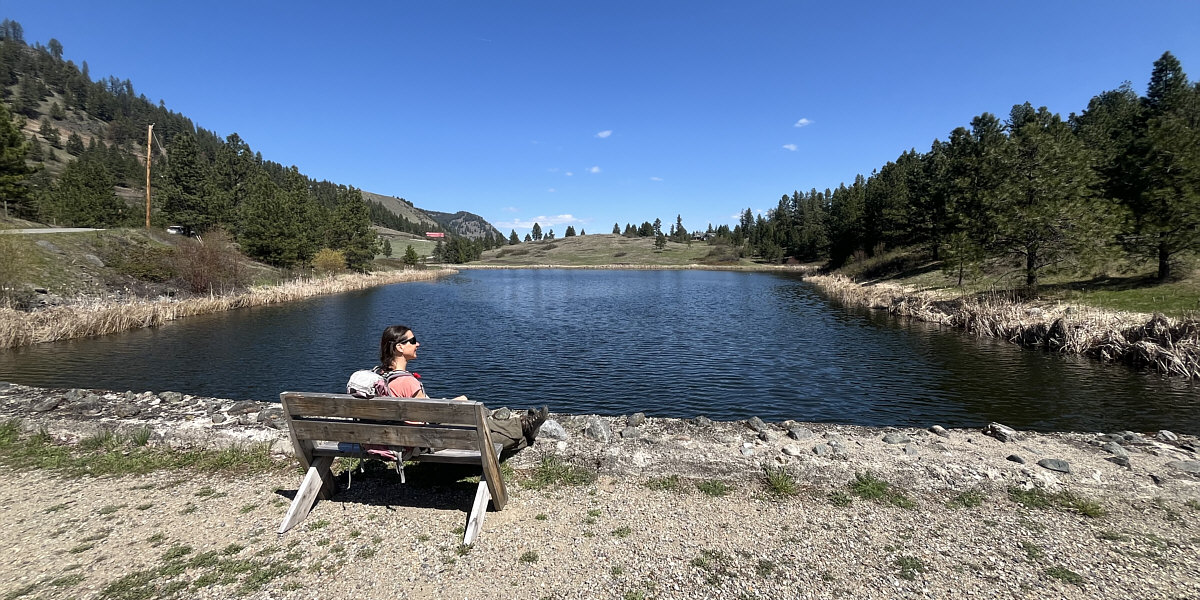
Here is a comprehensive view of Saddle Lake from the dam.
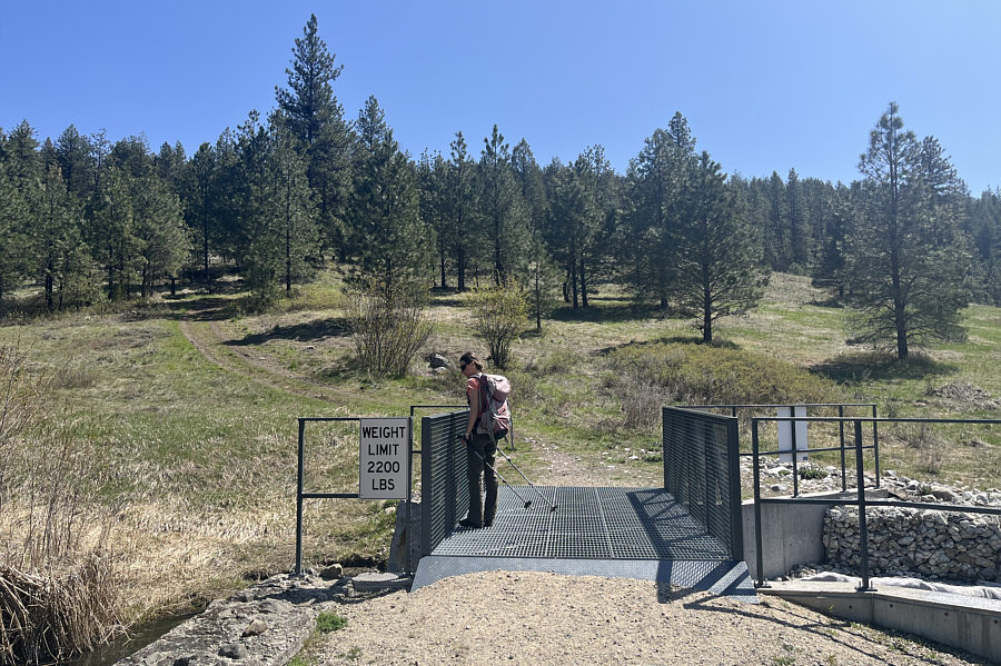 |
Zosia tests her weight on the bridge at the east end of the dam. |
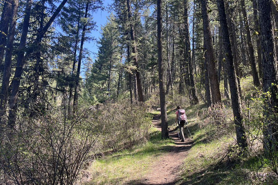 |
Much of the ascent is through forest. |
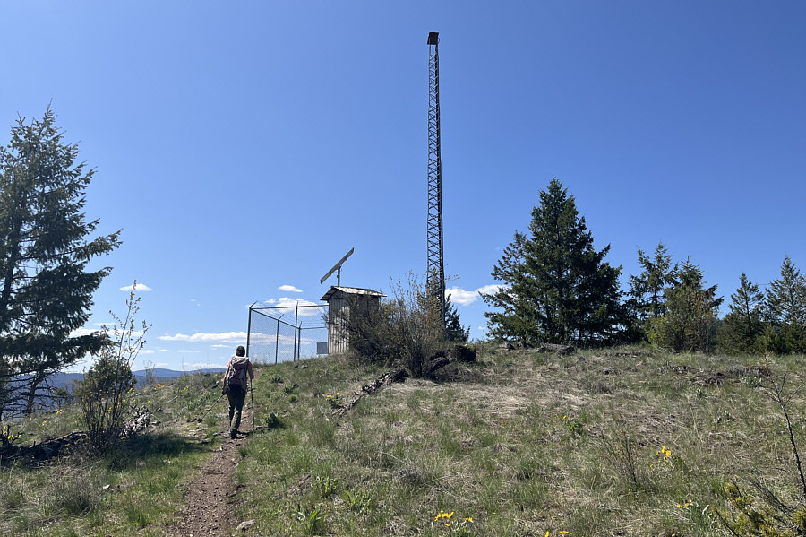 |
A small building and an antenna sit atop Saddle Lake Hill. |
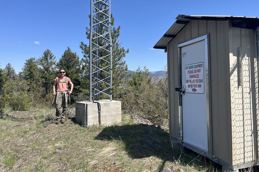 |
Zosia arrives at the high point of Saddle Lake Hill (847 metres). |
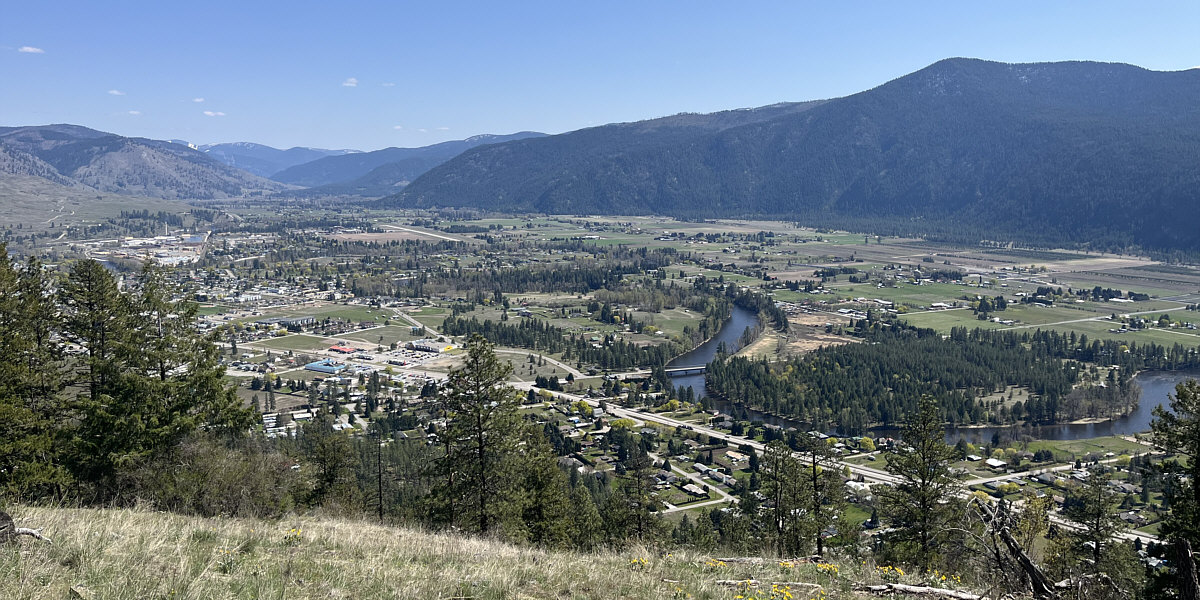
Here is a view of Grand Forks from the top of Saddle Lake Hill.
 |
Zosia descends a different trail heading southwest. |
 |
Balsamroots are very prolific on this slope. |
 |
Total Distance: 3.6 kilometres Round-Trip Time: 1 hour 21 minutes Cumulative Elevation Gain: 145 metres |