BOU AVENUE
Grief Mountain
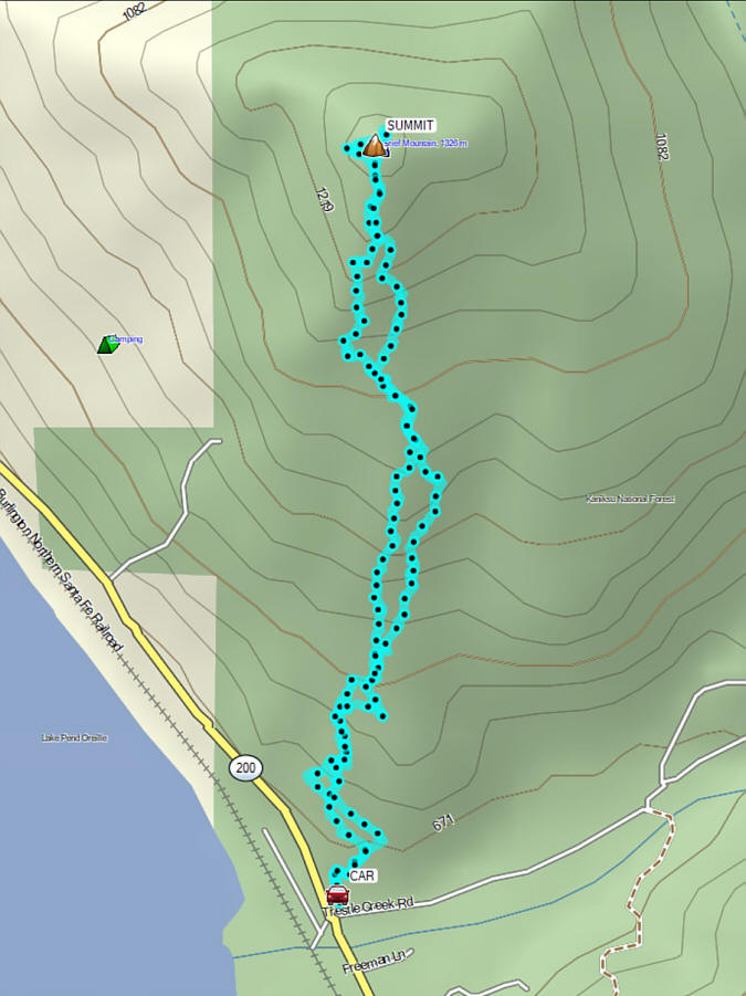
On 21 December 2025, Zosia Zgolak and I
ascended Grief Mountain located on the north shore of Lake Pend Oreille
just east of Sandpoint, Idaho. I picked this objective mainly
because of the easy driving access and the promise of good views from the
top based on satellite imagery. The only route information I could
find online were a couple of very brief reports on
peakbagger.com,
but these were enough to get us started on the right side of the mountain
(the south ridge).
Starting from a large pullout (48.28395, -116.34963) next to the
intersection of Trestle Creek Road and Idaho Highway 200, Zosia and I
headed up an obvious exploration road which climbs briefly through the forest before
ending in a short loop. A side road branches off the east side of
the loop, but uncertain about where it would lead, we opted to bushwhack
up the crest of the ridge. Shortly after, we stumbled onto another
road traversing across the ridge, but we ignored it and kept grinding
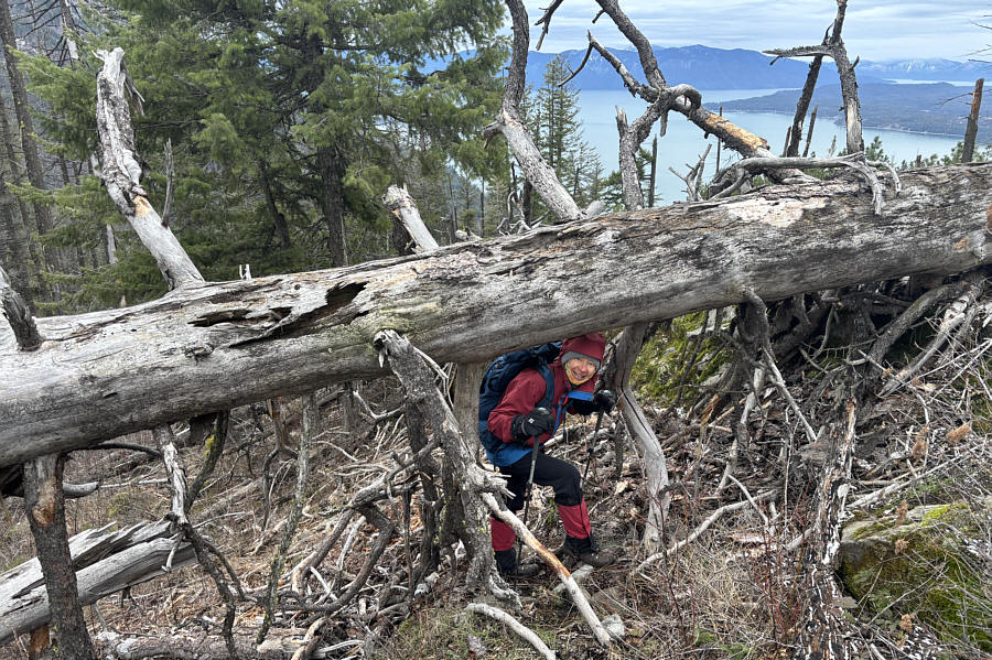
upward along the crest. Grief Mountains south ridge is not
technically difficult to ascend, but it is no cakewalk either. The
ascent is steep and entails a fair bit of route-finding with enough
annoying bush and deadfall to dissuade most spandex-clad Instagrammers.
Fortunately, the mountain was mostly snow-free which spared us from
potentially more misery. A large cairn marks the true summit, but
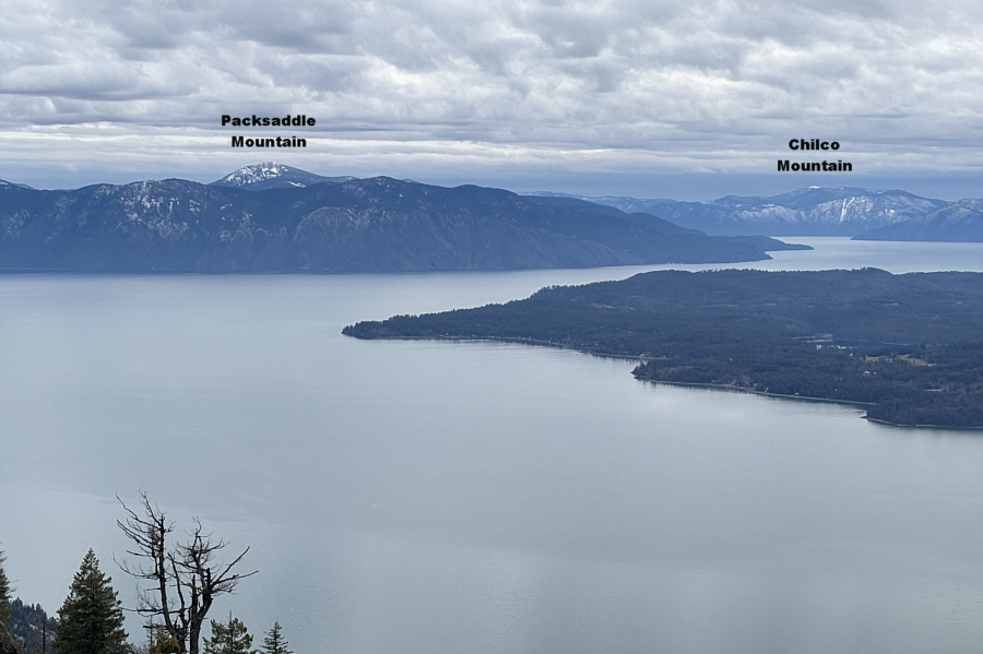
we took our break a little lower to the west where we were treated to
unobstructed views of Lake Pend Oreille.
For the descent, Zosia and I tried to
retrace our steps as much as we could, but the ridge's complexity had us
veering off-track more often than not. On several occasions, we
ended up in some pretty heinous terrain and had to either climb back
uphill to find a better way around or simply thrash straight through.
Of course, we have both endured much worse bushwhacking elsewhere, but it
is fair to say that this mountain does a pretty good job of living up to
its name. Near the bottom, we again stumbled onto the road
traversing the ridge, and this time, we followed it out and found that it
connected directly to the short loop near the start. The remaining
walk down to the pullout was mercifully easy.
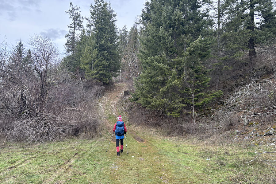 |
Zosia begins the ascent by following an
exploration
road rising from the end of the parking pullout. |
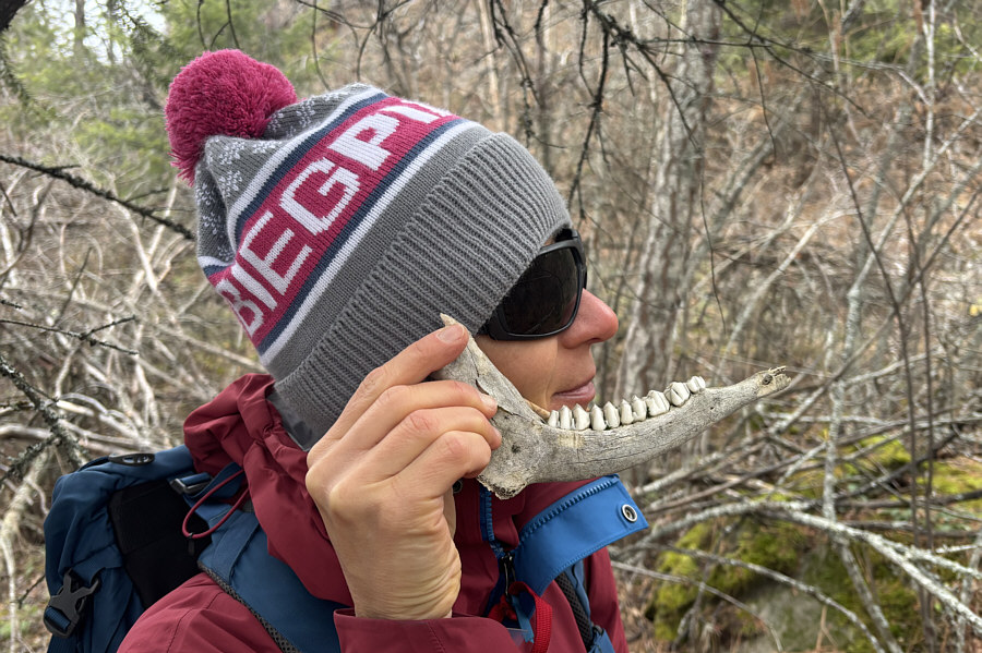 |
Zosia finds a nice set of teeth in the
bush. |
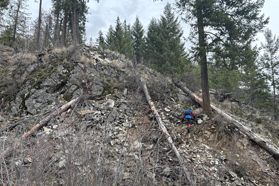 |
After crossing a road, Zosia muddles
her way up a steep and loose section of the ridge. |
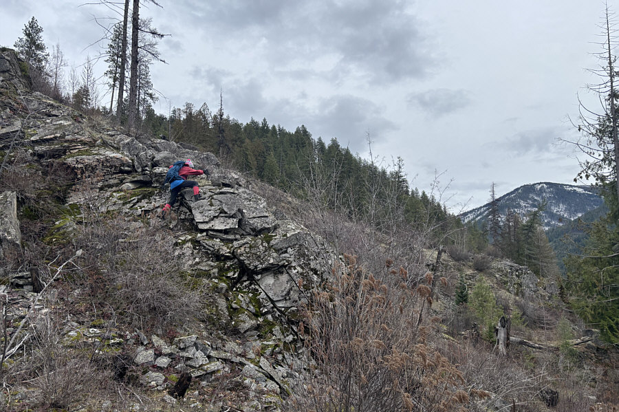 |
Surmounting this rocky section
requires some easy scrambling with mild exposure. |
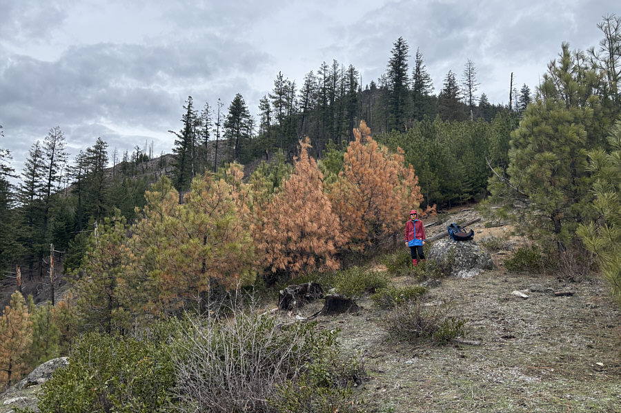 |
Zosia pauses for a break beside some
colourful pine trees. |
 |
Zosia has knack for finding dead
things in the woods. |
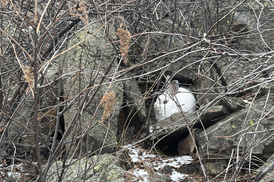 |
A white rabbit tries to remain
inconspicuous amongst some rocks and twigs. |
 |
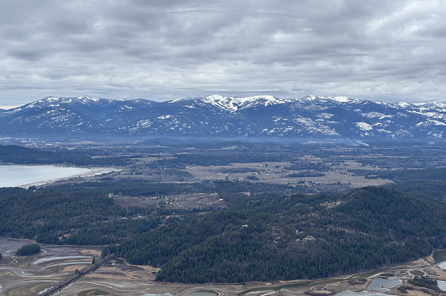
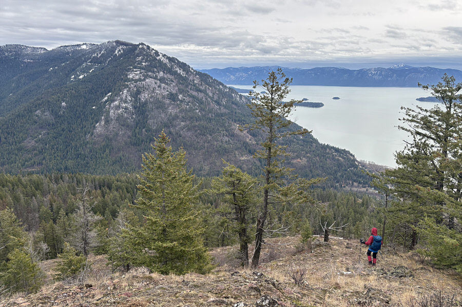
Views open up along the ridge near the
top of the mountain. |
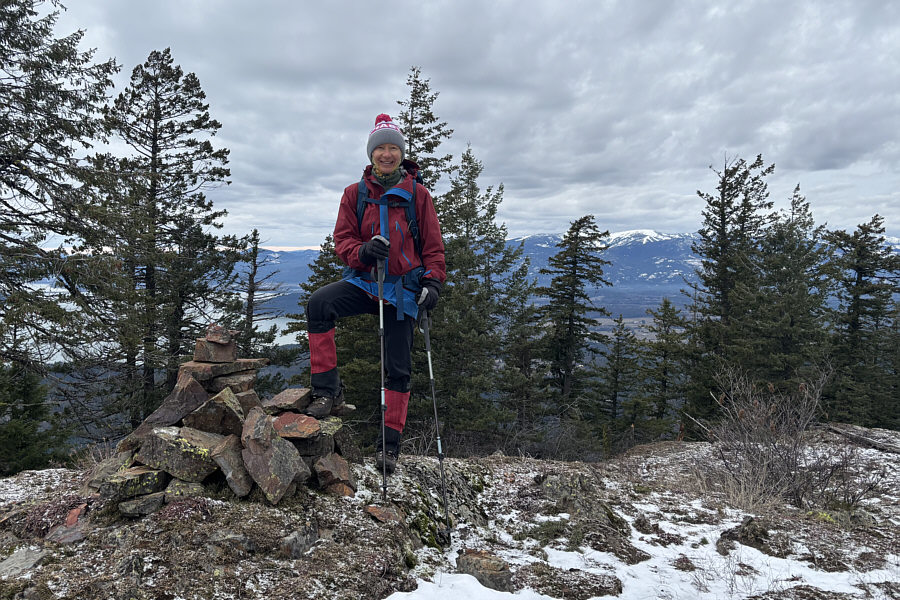 |
Zosia stands on the summit of Grief
Mountain (1333 metres). |
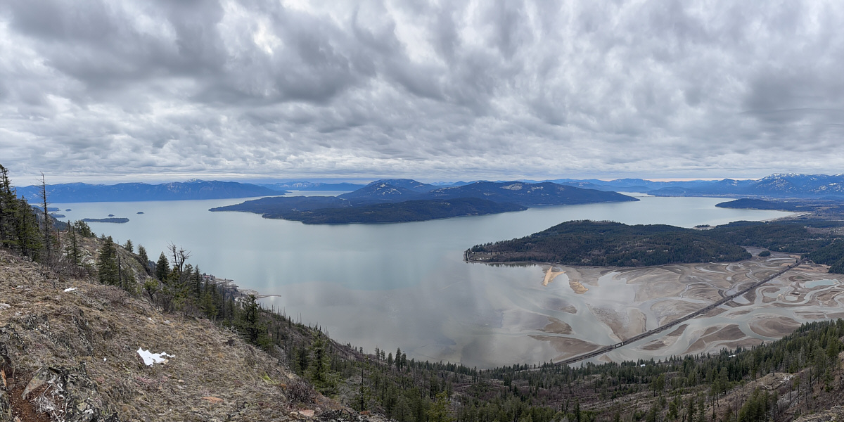
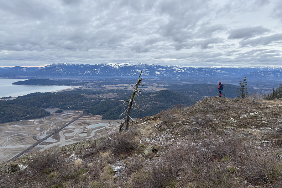
An open slope below the summit grants this unobstructed
view of Lake Pend Oreille.