|
|
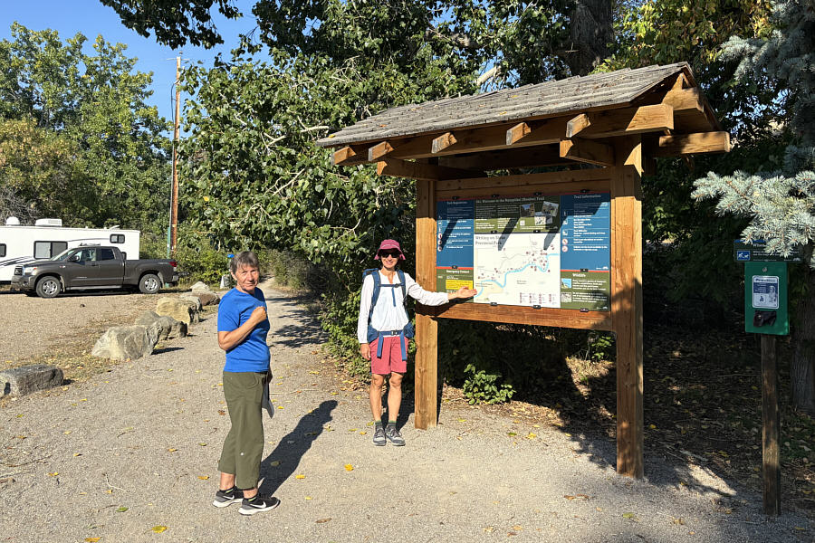
Teresa and Zosia check the map at a trailhead information kiosk. |
The Matapiiksi (Hoodoo) Interpretive Trail runs along the north bank of Milk River.
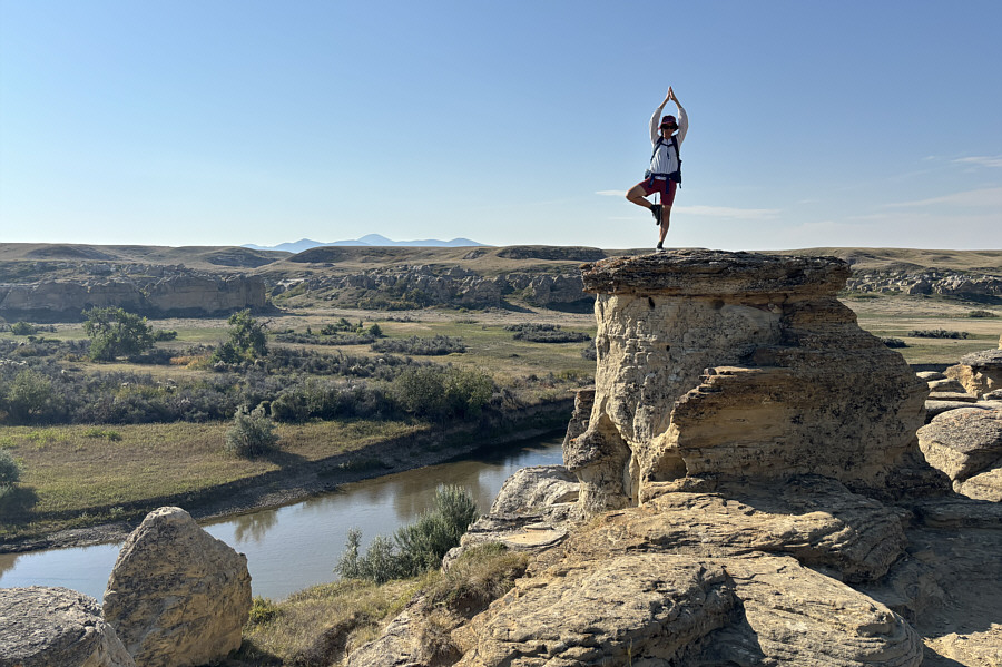 |
Zosia strikes a balanced pose atop a hoodoo. On the horizon in the distance is West Butte of Sweet Grass Hills in Montana. |
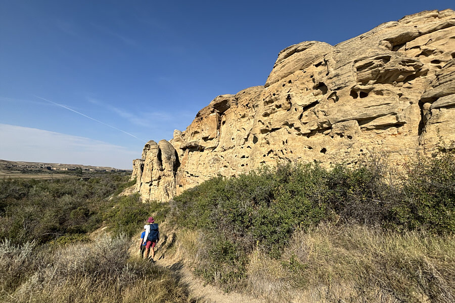 |
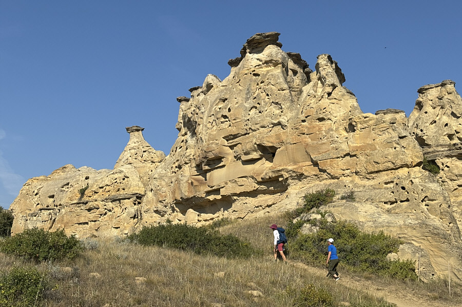
The trail drops down here to go through a forested section below these cliffs. |
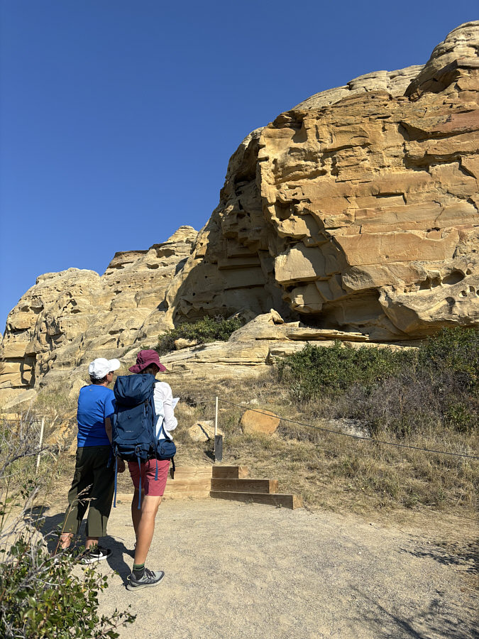 |
Teresa and Zosia stop to view one of the first petroglyphs along the trail. |
 |
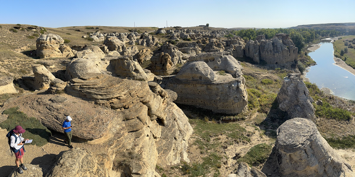
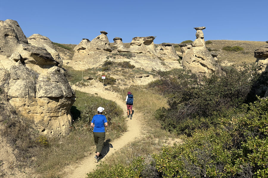
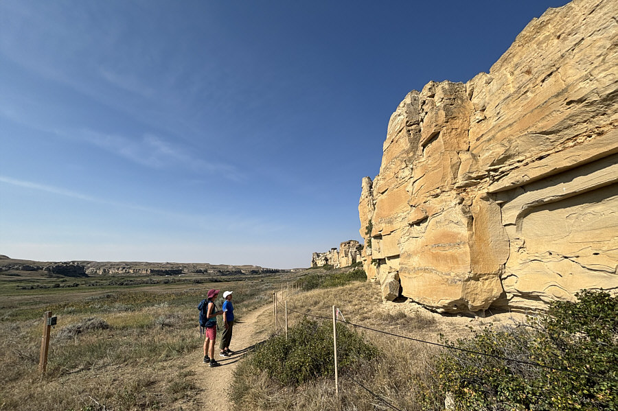
Zosia and Teresa pass by more hoodoos along the trail. |
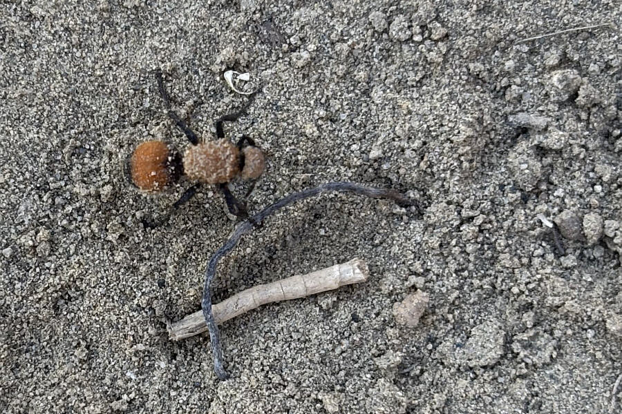 |
Resembling a spider, the velvet ant is actually a type of wingless wasp. |
 |
Many of the hoodoos along the trail are off-limits to the public probably because of their fragility and for safety reasons. |
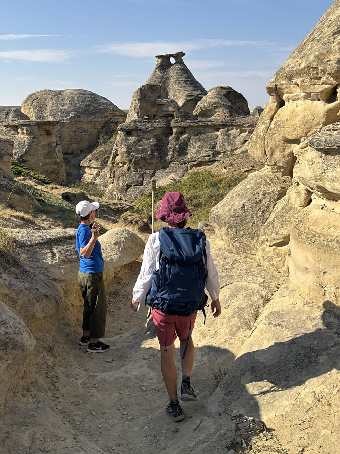 |
Teresa and Zosia spot a window in a hoodoo. |
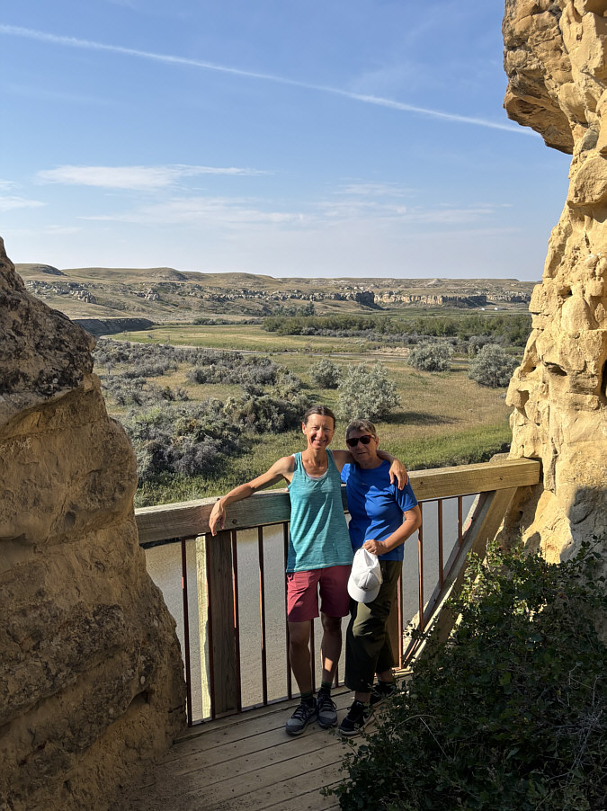 |
A short side trail leads to this fenced balcony overlooking Milk River. |
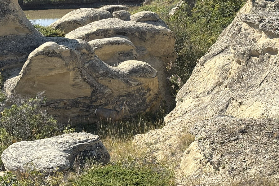 |
A mule deer tries to remain inconspicuous in the shade of some hoodoos. |
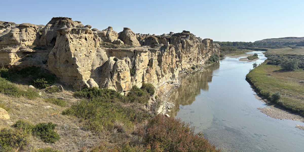
Here is a look back at some hoodoos that are right on edge of the river.
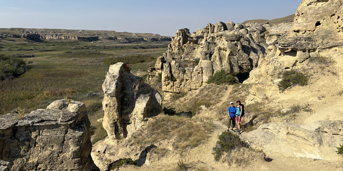
The hoodoos behind Teresa and Zosia resemble the buildings of a city.
 |
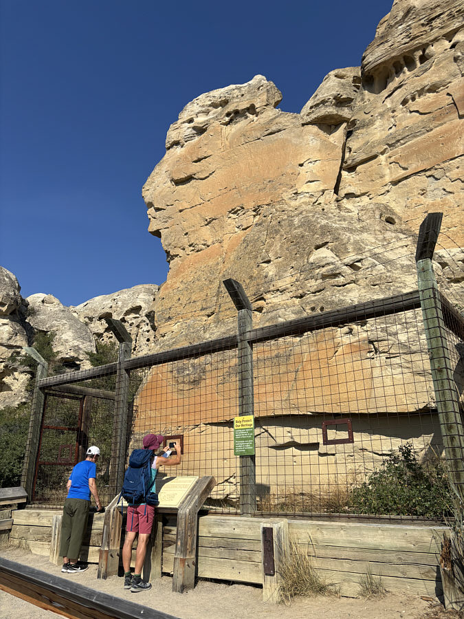
Zosia and Teresa stop again to look at more petroglyphs. Note the security camera at bottom left. |
 |
A protective fence guards "The Battle Scene", the last and most elaborate petroglyph along the trail. |
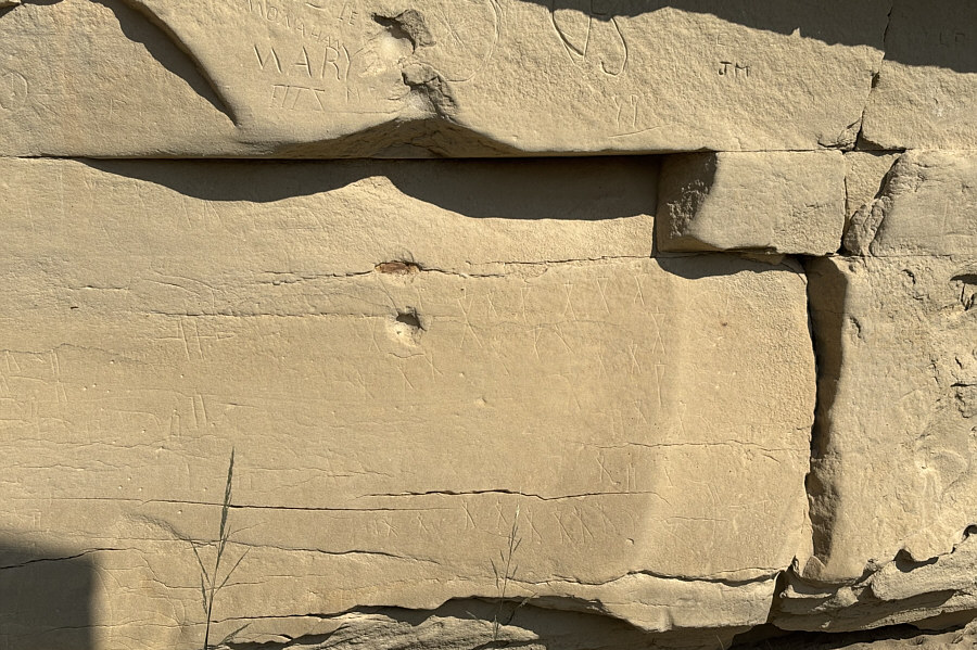 |
Here is a closer look at one section of Battle Scene. Note the more modern graffiti etched into the rocks above. |
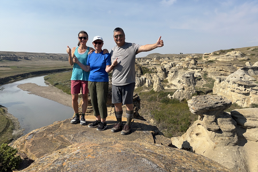 |
Zosia, Teresa and Sonny give enthusiastic "thumbs-up" to Writing-on-Stone Provincial Park. |
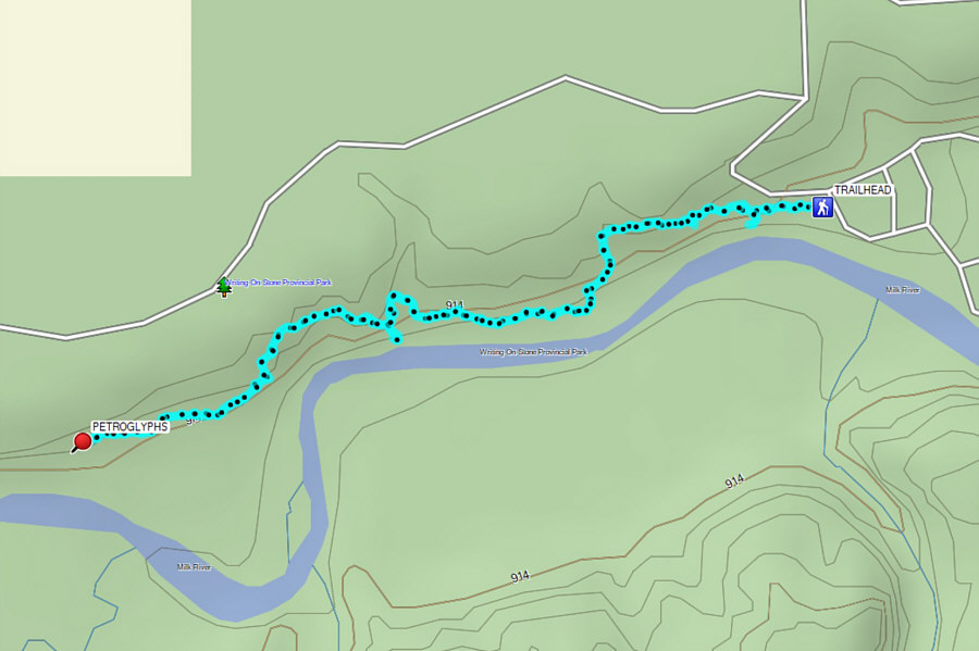 |
Total Distance: 3.4 kilometres Round-Trip Time: 2 hours 3 minutes Cumulative Elevation Gain: 28 metres |