For our descent, Zosia and I dropped westward down the steep slopes just below the summit in hopes of following the rightmost (most southerly) of the three ribs back to Kinney Creek. This worked out well at first, but as we got lower, we began encountering increasing amounts of both bush and snow. For the most part, we were following the footprints of other hikers, but this rib is probably the worst of the three to take mainly because of the bushwhacking especially on the lower sections. Fortunately, the misery was fairly short-lived as we eventually muddled our way back to the main trail. The remaining hike out Kinney Creek went without a hitch.
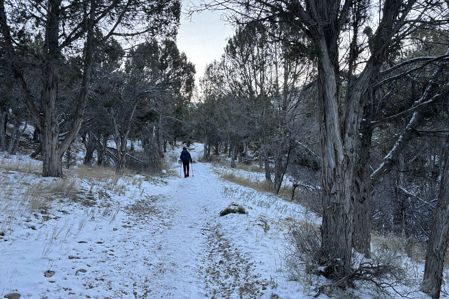 |
Zosia hikes through a forest of giant juniper trees near the start. |
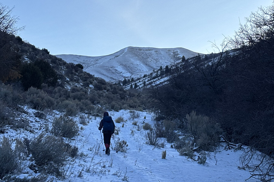 |
Zosia gets her first clear look at Indian Mountain. The summit is the bump on the right. |
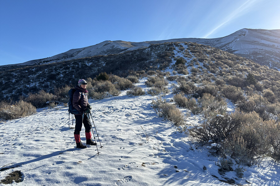 |
Zosia warms up in the sunshine before following the fence at right toward the bump behind her. This is the leftmost (most northerly) of three ribs rising up the mountain's northwest slopes. The middle rib with an obvious trail can be seen at far right. |
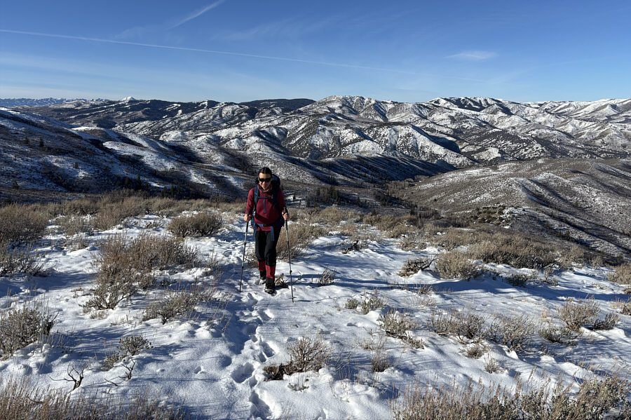 |
Far-reaching views unfold behind Zosia as she climbs higher up the rib. Right of centre on the horizon is Slate Mountain. |
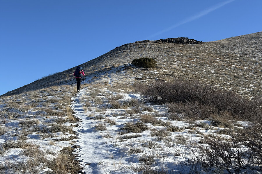 |
Zosia aims for some short bluffs on the slope above. |
 |
Zosia gains the crest of Indian Mountain's north ridge. |
 |
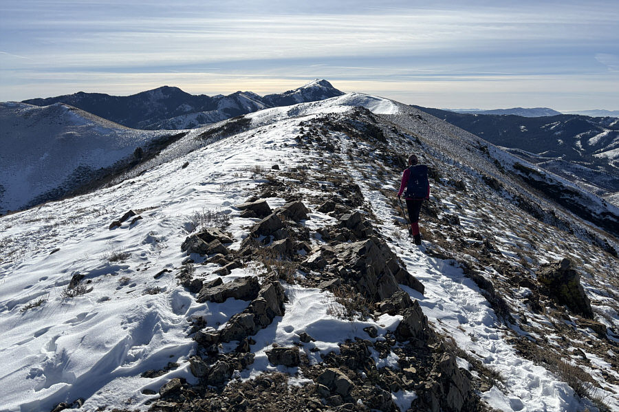
Scout Mountain is visible at left as Zosia continues up Indian Mountain's north ridge. |
 |
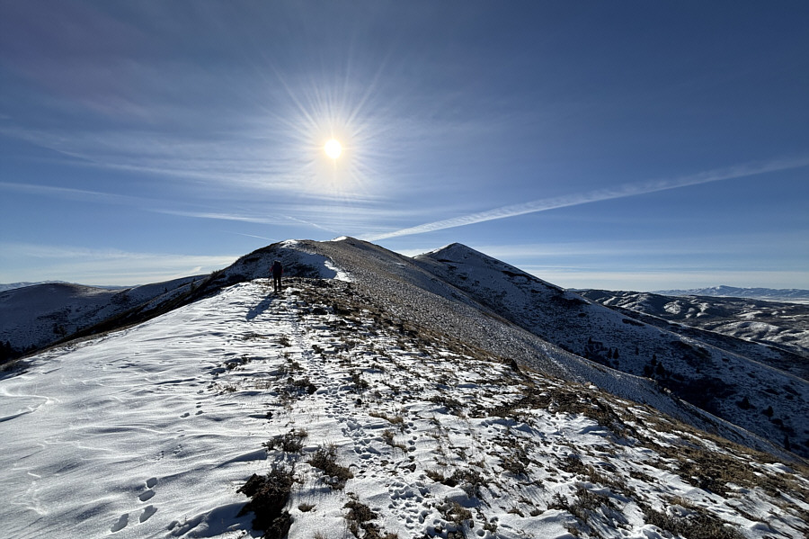
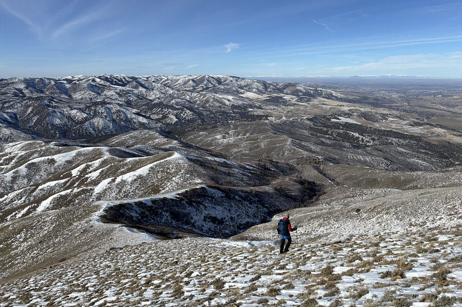
Zosia grinds up a steep section below the false summit. |
 |
Zosia walks the final easy section to the true summit. |
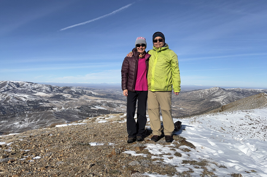 |
Zosia and Sonny stand on the summit of Indian Mountain (2224 metres). |
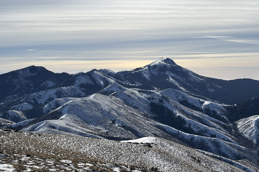 |
Here is a closer look at Scout Mountain to the south. |
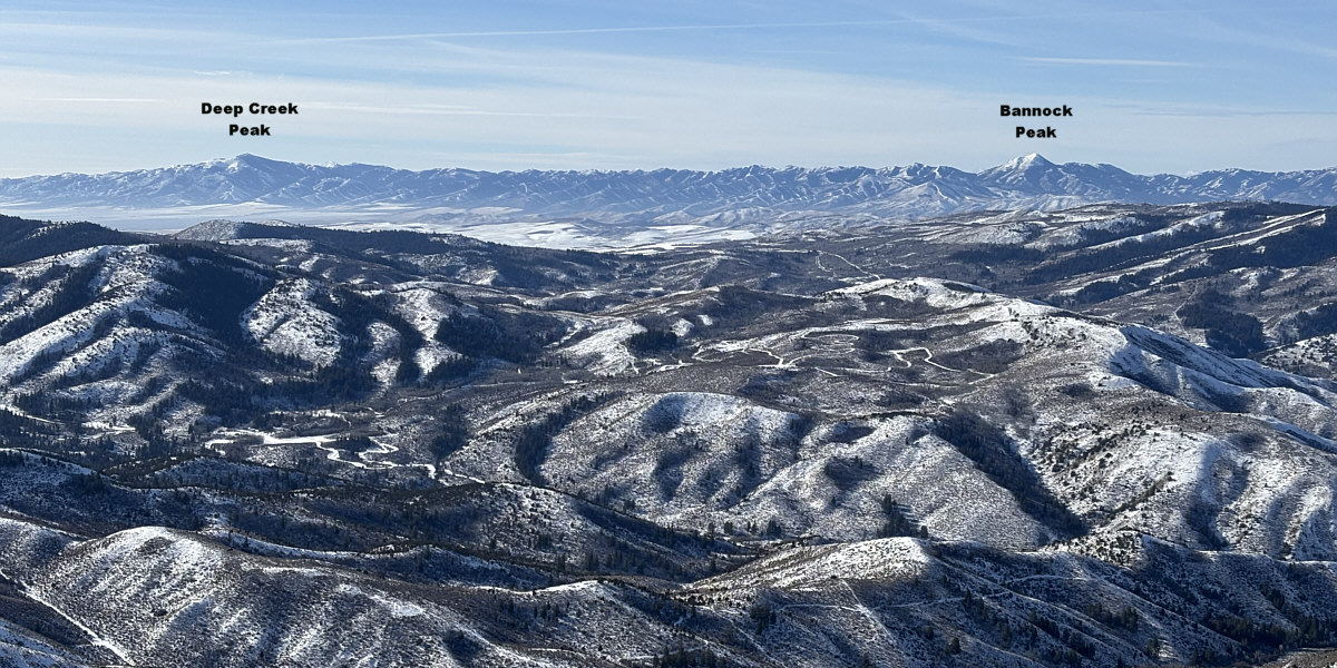
A couple of intriguing peaks stand out to the southwest.
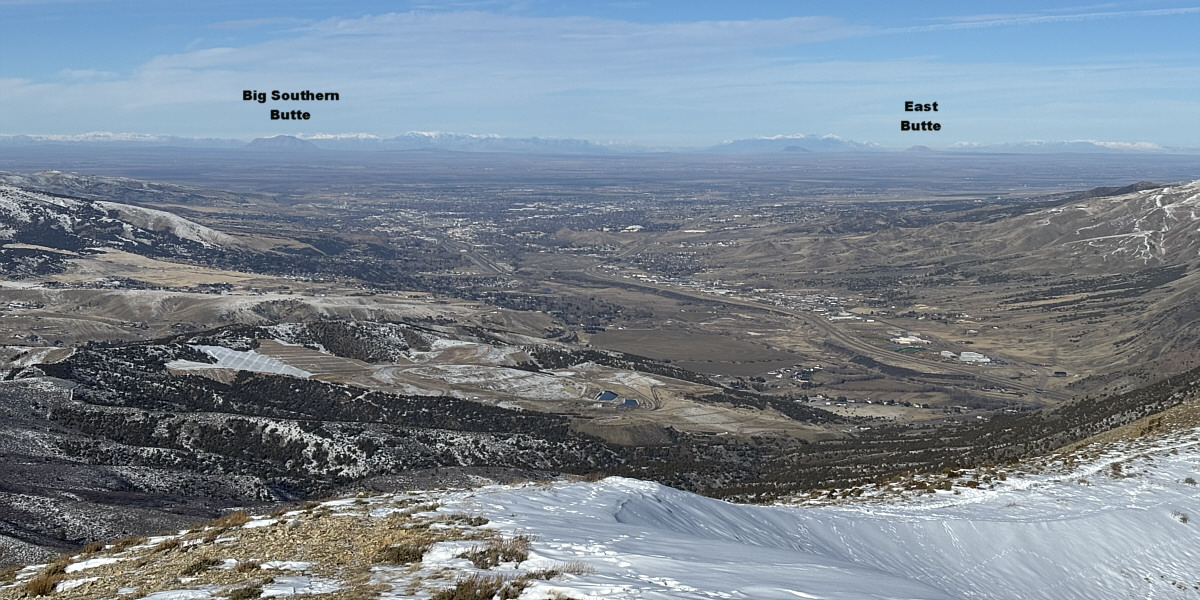
To the northwest is a comprehensive view of the city of Pocatello.
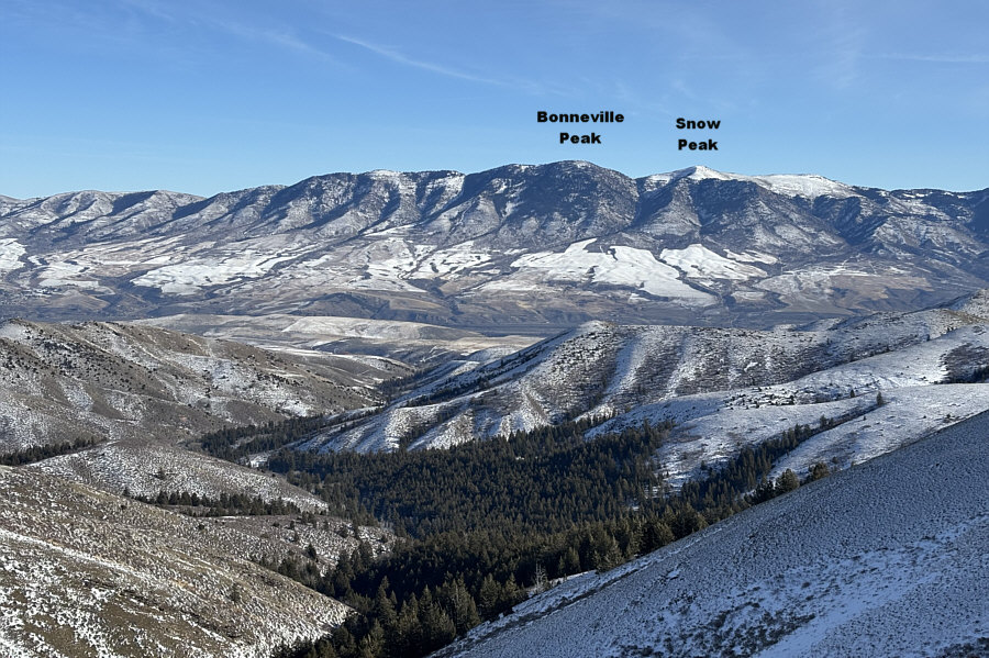 |
Pebble Creek Ski Area can be seen (left of centre) on the lower slopes of Bonneville Peak. |
 |
Zosia descends the rightmost (most southerly) of the aforementioned ribs. |
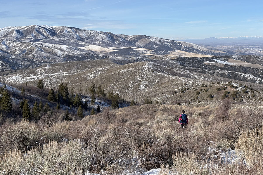 |
The lower sections of the rib become increasingly bushy. At far left on the horizon is Wild Mountain. |
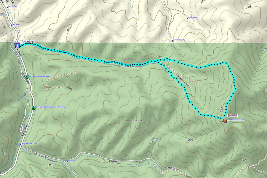 |
Total Distance: 10.9 kilometres Round-Trip Time: 5 hours 48 minutes Cumulative Elevation Gain: 709 metres |