BOU AVENUE
Jim Smith Lake Hill
Kicking off our Christmas holidays on 20 December 2025, Zosia Zgolak ascended an unnamed hill located near Jim Smith Lake in the western outskirts of Cranbrook, British Columbia.  Unable to find any online references for this objective, I have taken the liberty to name it "Jim Smith Lake Hill".  Viewed from Highway 3/95, the hill's south side is guarded by impressive cliffs, but the gentle north slopes offer relatively easy access to the top via undocumented trails.

From Highway 3/95, turn north onto Jim Smith Lake Road just opposite the access to Cranbrook Visitor Centre near Elizabeth Lake.  Drive 4.1 kilometres and veer left to enter Jimsmith Lake Provincial Park (sign).  In summer, it is possible to drive another 350 metres or so to the day-use parking lot (the vault toilet here is open year-round).  Otherwise, park in the space (49.48405, -115.83938) near the campground entrance before a seasonal gate.

From the seasonal gate, Zosia and I walked the remainder of the access road to the day-use parking lot where we paused briefly to view frozen and snow-covered Jim Smith Lake.  A bone-chilling wind prompted us to hurry past the south end of the parking lot into the shelter of the forest where we exited the provincial park on a well-traveled trail.  About 350 metres beyond the park boundary, we turned left onto another obvious trail climbing gradually uphill.  We followed this trail for another 650 metres before abandoning it to hike off-trail through easy terrain to the open top.  A stone wind-break near the high point suggests that the hill still attracts some attention despite its obscurity and low elevation.

For some variety, Zosia and I chose to descend via an exploration road on the east side of the hill hoping that it would eventually curl back to our starting point.  Unfortunately, the road seemed to veer more toward the south side of the hill, and we eventually gave up and simply bushwhacked until we stumbled onto a trail heading northward.  This trail eventually led us to the park's campground where we were able to easily walk back to our starting point.
Cold wind blowing here--brrrrrrr!!! 
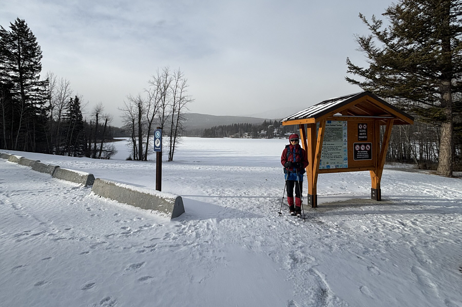
Zosia pauses by an information kiosk near Jim Smith Lake.
Taking the road more traveled! 
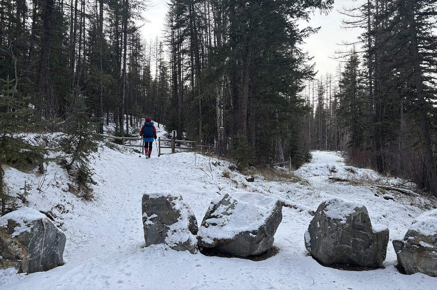
Zosia exits Jimsmith Lake Provincial Park en route to "Jim Smith Lake Hill".
Not marked on any maps! 
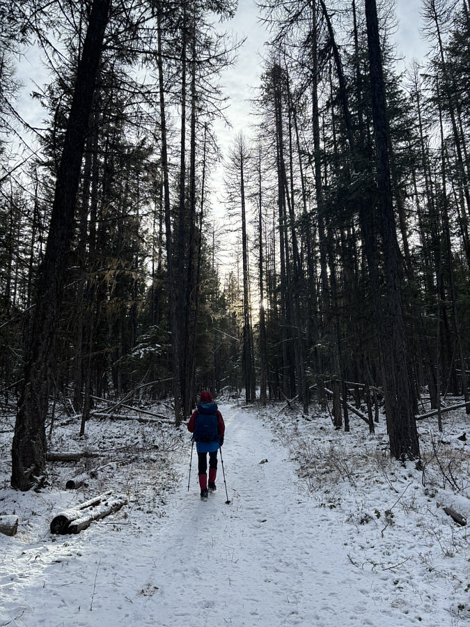
Zosia turns onto a well-traveled side trail going uphill.
Easy with no bushwhacking! 
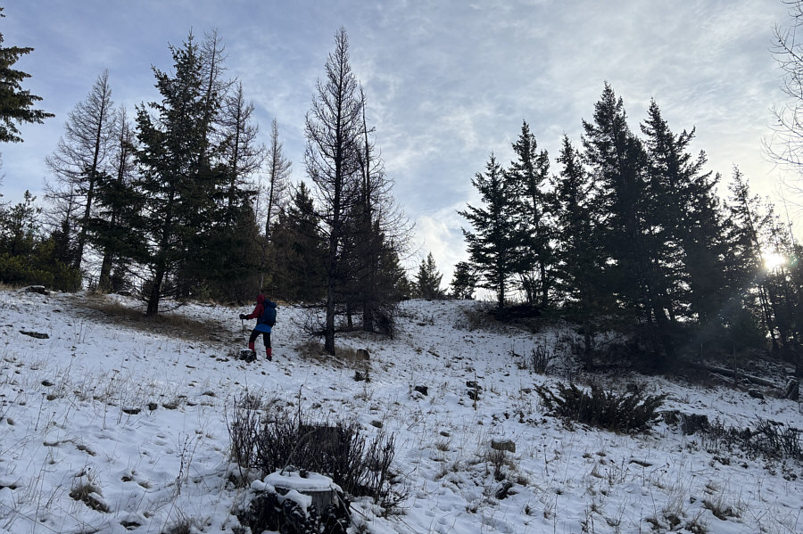
Zosia goes off-trail near the top of the hill.
You could play soccer up here! 
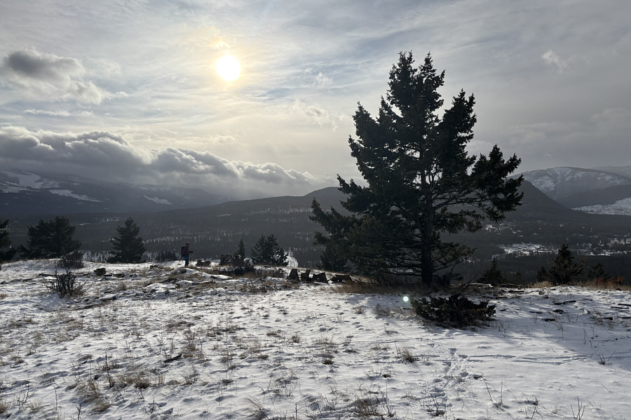
The top of Jim Smith Lake Hill is mostly open.
Actually, it's a pretty nice summit!

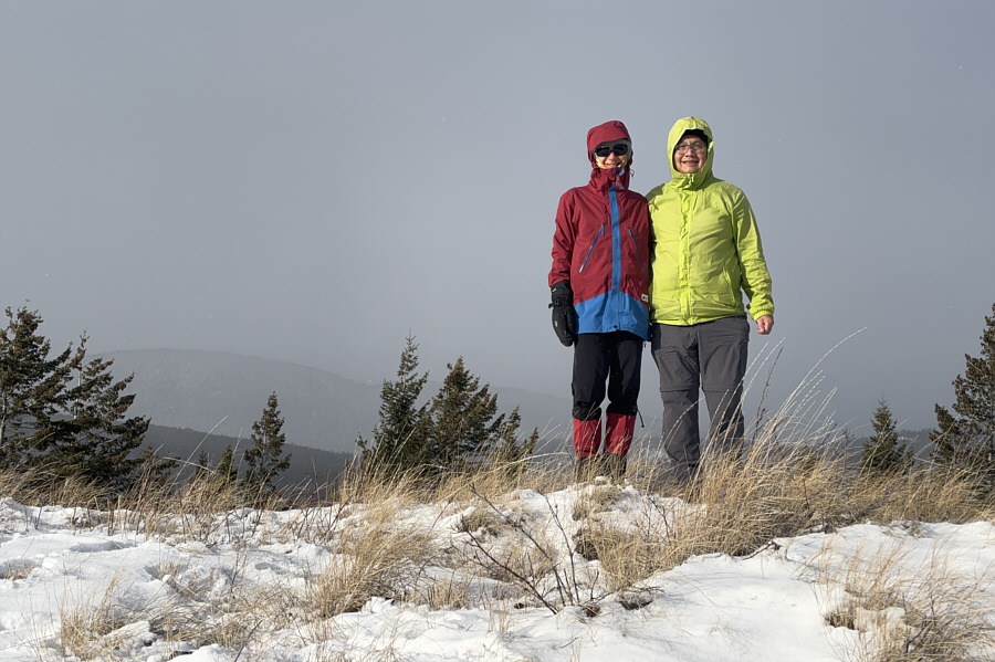
Zosia and Sonny stand on the high point of Jim Smith Lake Hill (1162 metres).

Making the hike longer than it needs to be... 
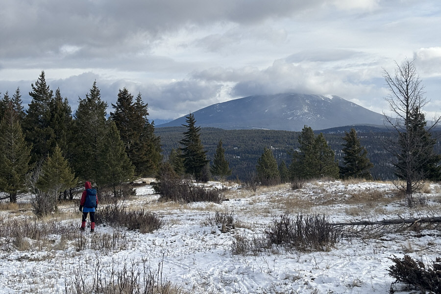
Zosia takes an alternate route down the hill.  In the background is Mount Baker.
Short and simple...surprised it's not on AllTrails yet! 
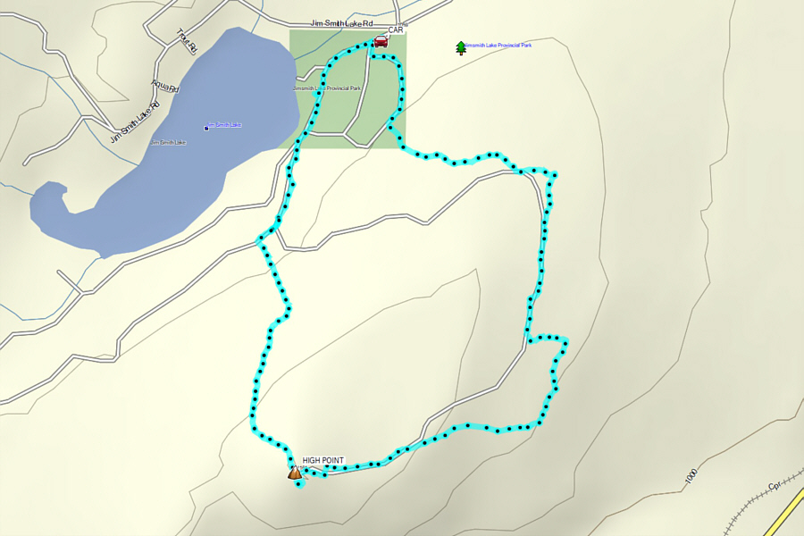
Total Distance:  4.7 kilometres
Round-Trip Time:  1 hour 34 minutes
Cumulative Elevation Gain:  118 metres

GPX Data