BOU AVENUE
Mount Keogan

Zosia Zgolak and I returned to British Columbia's White Lake Grasslands Protected Area on 13 July 2025 to hike up officially-named Mount Keogan.  We got the idea for this trip from Brandon Boulier who inspired us to climb a couple other peaks in the same area earlier in the year.  The summit of Mount Keogan is easily reached via a good trail, and the only real worry we had on this day was the rising heat from the scorching sun.

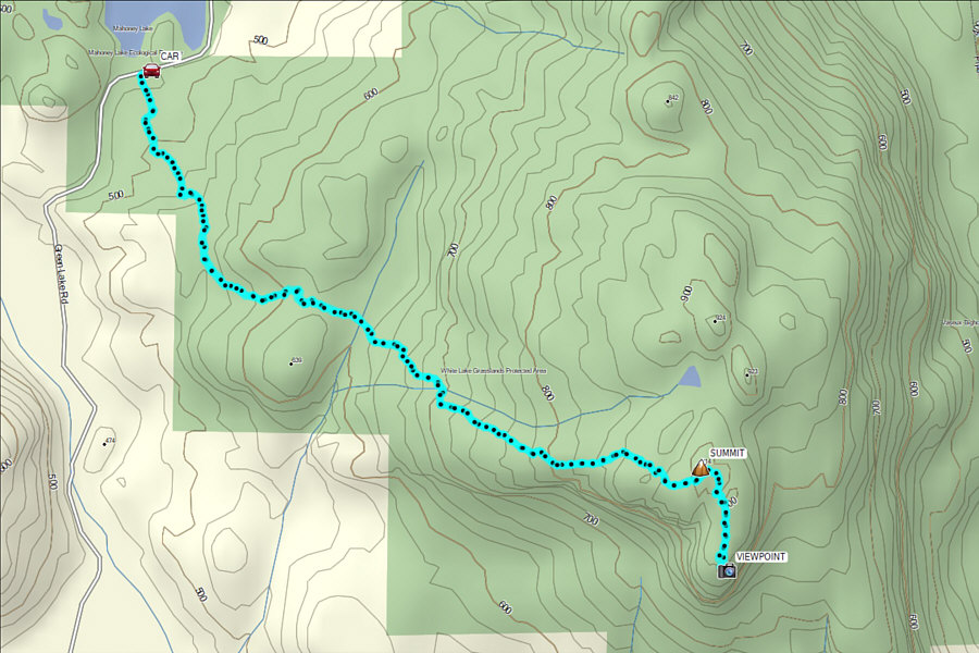
Starting at the signed trailhead (49.28538, -119.58248) along Green Lake Road (parking is limited here to a few roadside pullouts), Zosia and I passed through an unsecured gate and followed the well-maintained trail heading generally southeast.  There are numerous branching trails, but all important junctions are signed.  The trail starts with a preliminary stretch through forest before rising through semi-open slopes the rest of the way to the top.  We had no route-finding issues and reached the summit--a big boulder with a tree sticking out of it--in about 1.5 hours.  Once we tagged the summit, we followed a spur trail to the south for about 400 metres before stopping to take a break at a more open viewpoint where we could catch a glimpse of Vaseux Lake to the east.

When we finished our break, Zosia and I simply retraced our steps back to the summit and down the same trail.  Even as we descended, the sun was quickly becoming unbearably hot, and we greatly appreciated the air conditioning in my car as we drove out of the area.
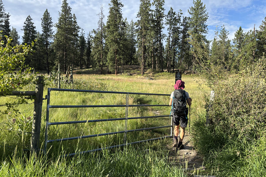
Please close the gate behind you! Zosia goes through an unsecured gate at the start of the hike.
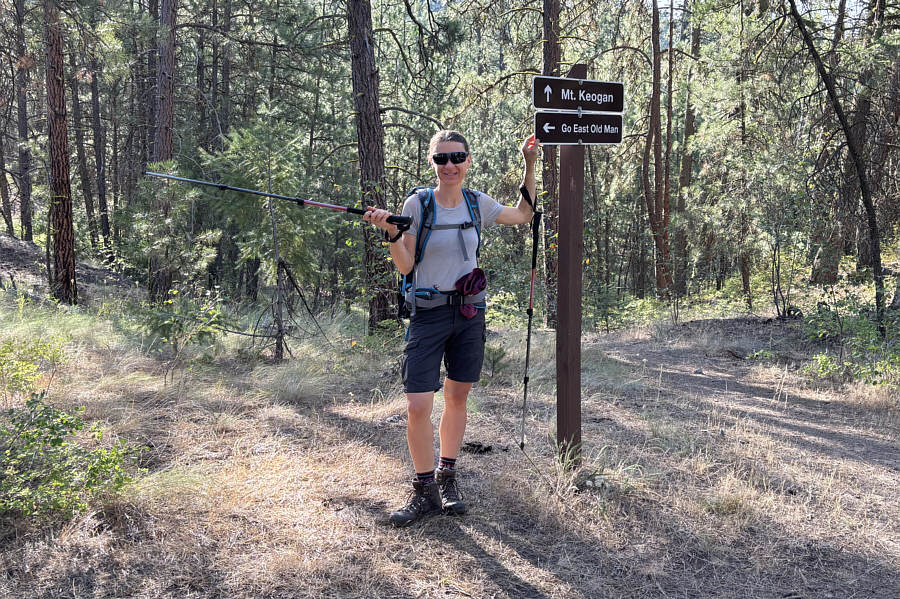
That's where the bears are! Zosia is suggesting to Sonny that he should "go east".
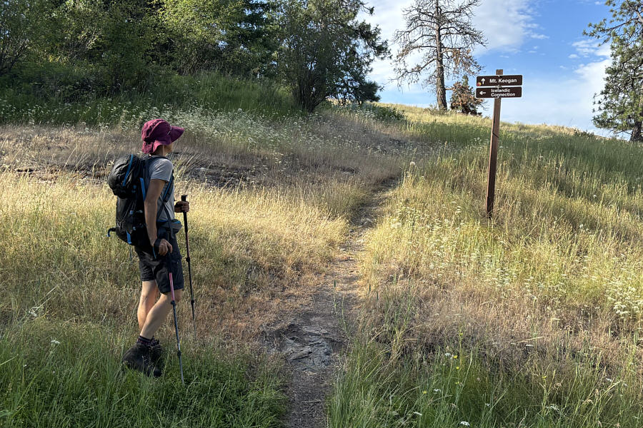
Zosia has been to Iceland, so there's that! Zosia wonders what the "Icelandic Connection" may be.
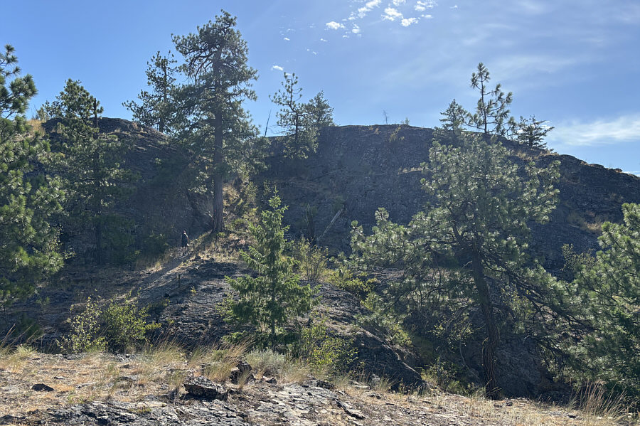
Scrambling is optional. Zosia approaches some rocky bluffs guarding the top of the mountain.
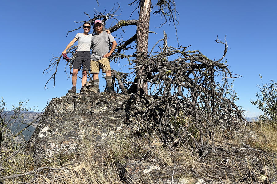
Somebody should knock this gnarly tree down... Zosia and Sonny stand on the summit of Mount Keogan (921 metres).
 

Oohh, it's already getting hot!

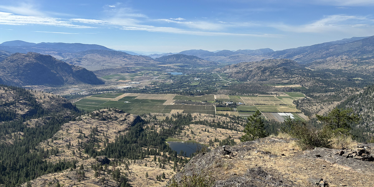
The town of Oliver and Tugulnuit Lake are visible at distant centre from this viewpoint south of the summit.
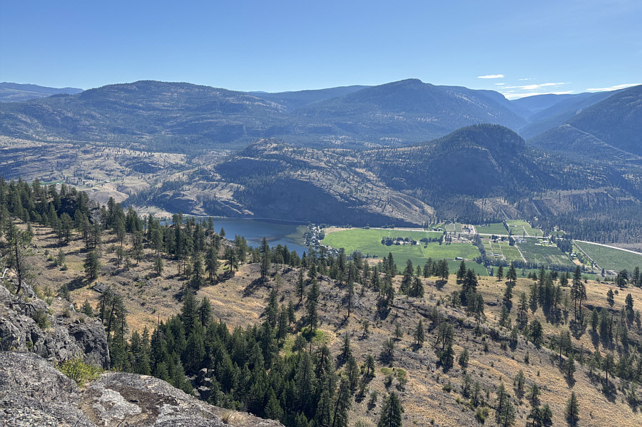
 

Not the comprehensive view of the lake that we were promised by a man we met on the trail! The south end of Vaseux Lake can be seen to the east.
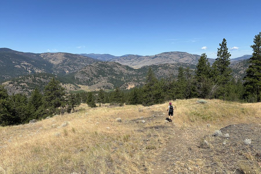
Ugh, the sun is becoming unbearable! Zosia retraces her steps down the mountain with Mount Parker visible on the right horizon.
Not a good choice for a hot summer day! Total Distance:  7.9 kilometres
Round-Trip Time:  3 hours 55 minutes
Cumulative Elevation Gain:  461 metres

GPX Data