Photo courtesy of Zosia Zgolak
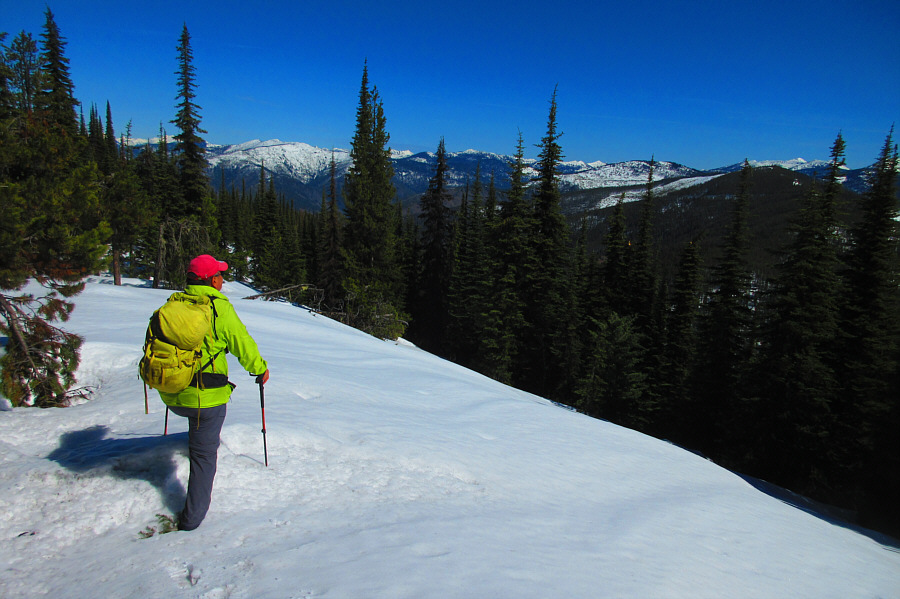
On the way down, Sonny pauses at the same opening in the trees to gaze at distant peaks to the north.
Photo courtesy of Zosia Zgolak
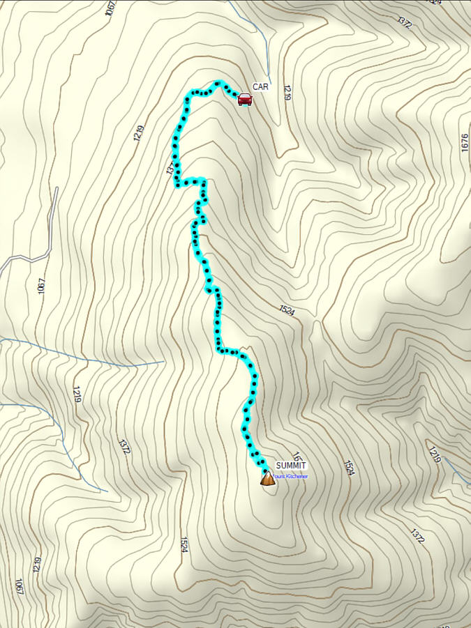
Round-Trip Time: 3 hours 39 minutes
Cumulative Elevation Gain: 509 metres
|
|
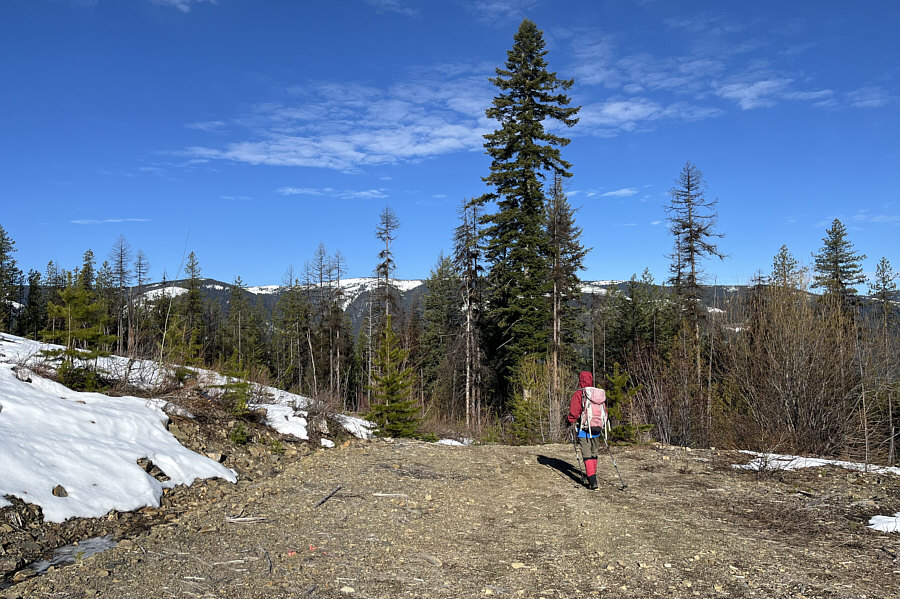
Zosia arrives at the usual parking spot for the start of the hike up Mount Kitchener. |
|
|
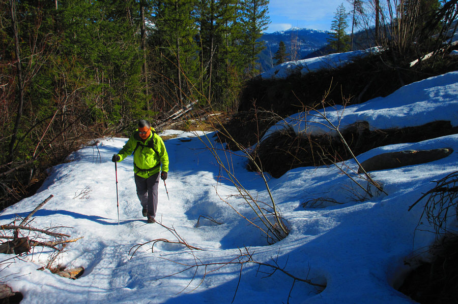
The snow covering the road is surprisingly supportive. Photo courtesy of Zosia Zgolak |
|
|
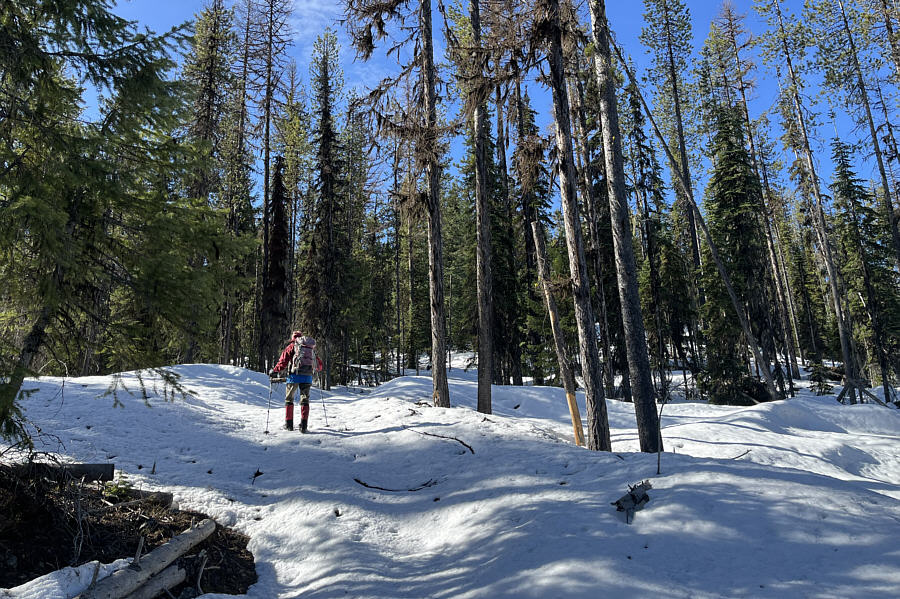
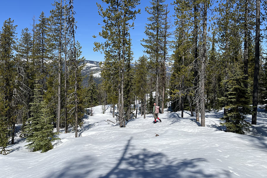
On this day, most of the ascent is hiking up a snow-covered road in the forest. |
|
|
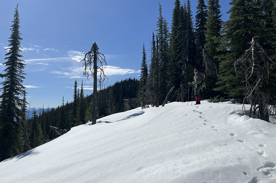
A rare opening in the trees allows a glimpse of Mount Kitchener's summit just ahead. |
|
|
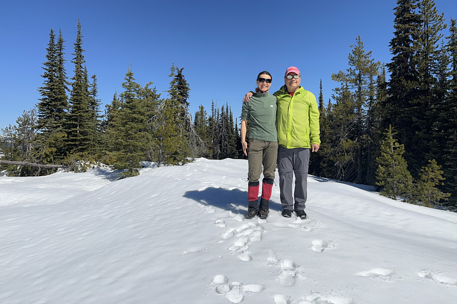
Zosia and Sonny stand on the summit of Mount Kitchener (1783 metres). |
|
|
On the way down, Sonny pauses at the same opening in the trees to gaze at distant peaks to the north. Photo courtesy of Zosia Zgolak |
|
|
Zosia hurries down the mountain in hopes of getting off the snow before it turns isothermal. |
|
|
Total Distance: 8.6 kilometres Round-Trip Time: 3 hours 39 minutes Cumulative Elevation Gain: 509 metres |