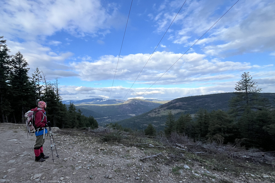
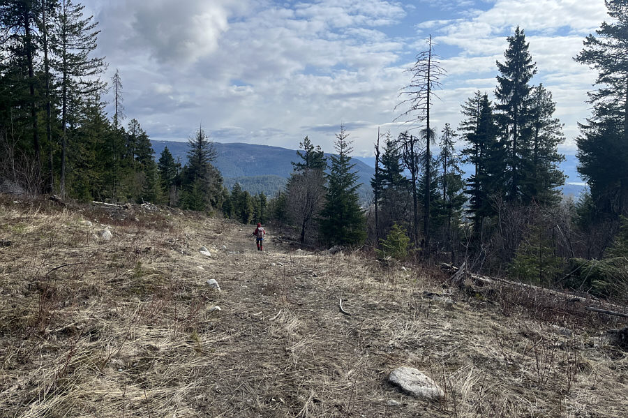
Zosia enjoys far-reaching views where a power line right-of-way goes over Mount Law's north ridge.
|
|
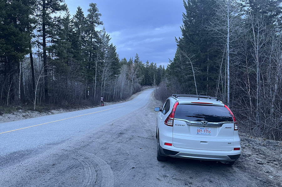
Zosia walks a short distance to the start of the exploration road leading to Mount Law. |
|
|
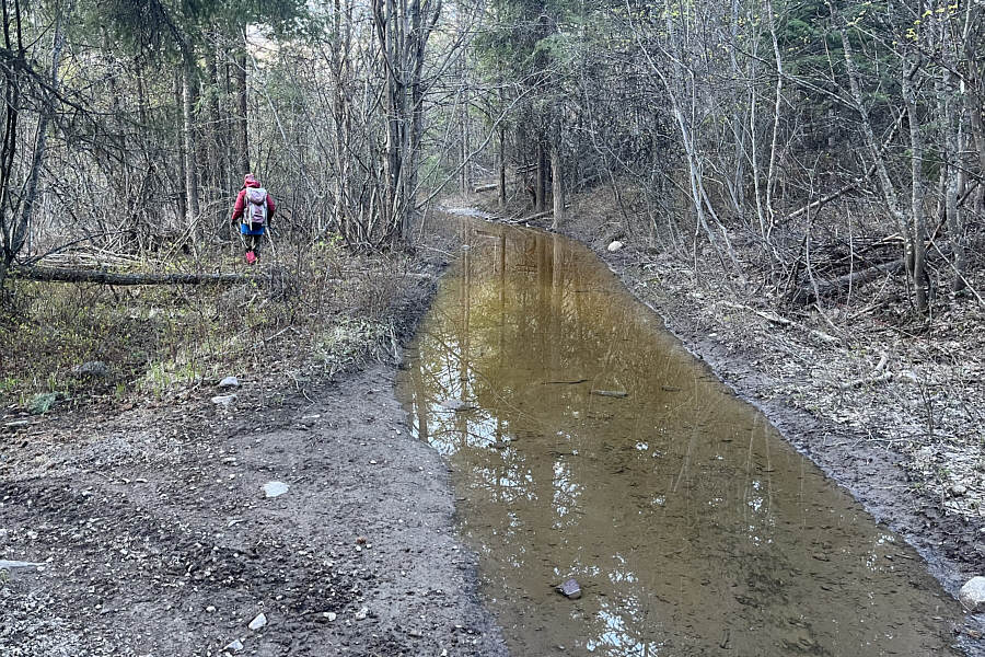
Long stretches of the exploration road are flooded on this day. |
|
|
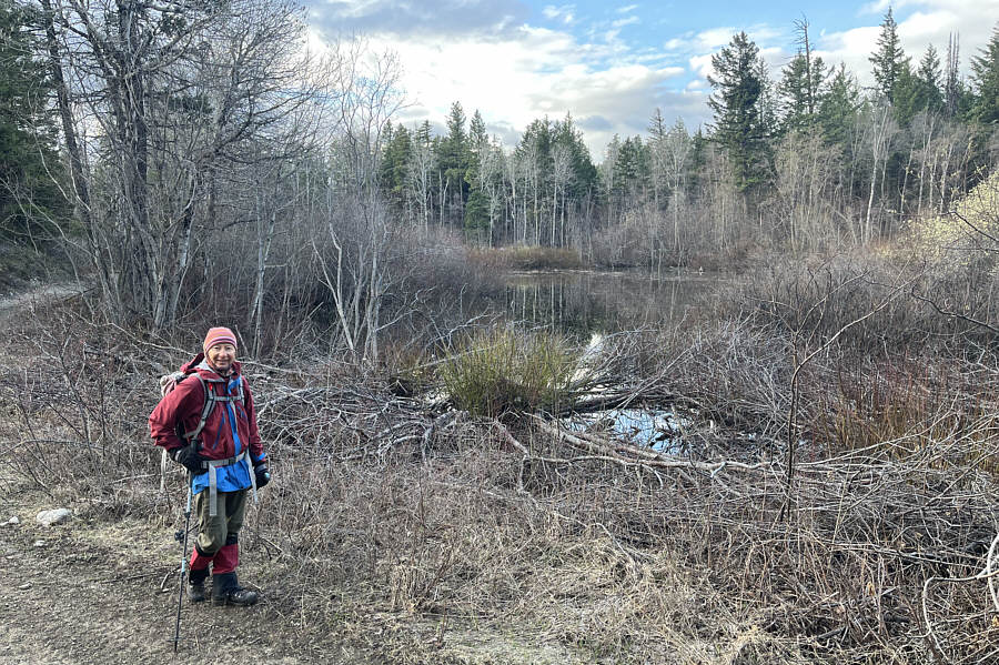
This small tarn sits near the crest of Mount Law's north ridge. |
|
|
Zosia enjoys far-reaching views where a power line right-of-way goes over Mount Law's north ridge. |
|
|
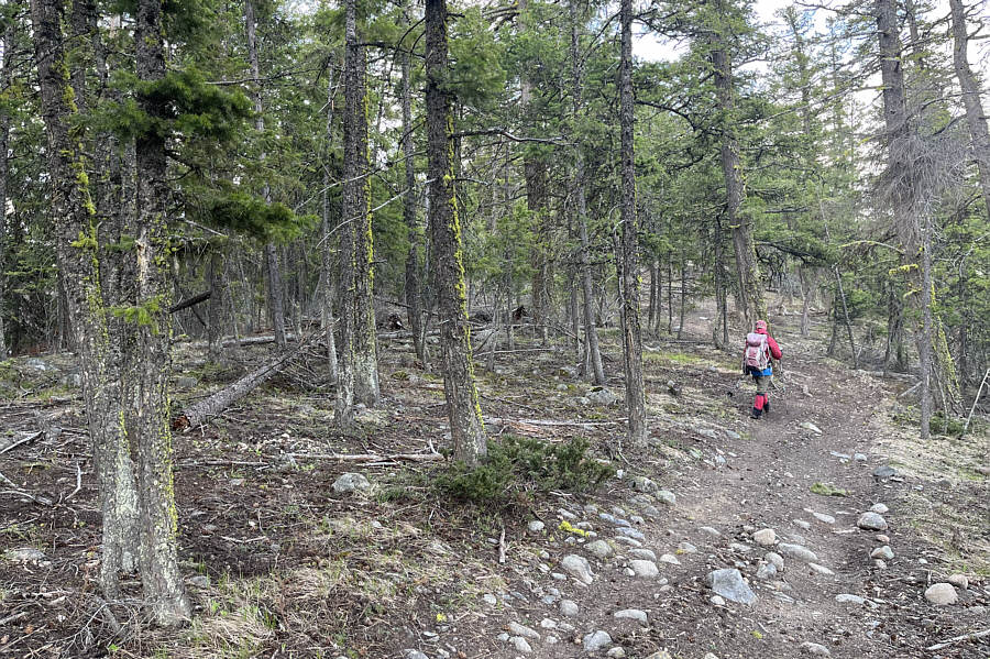
Zosia follows a trail along the north ridge. |
|
|
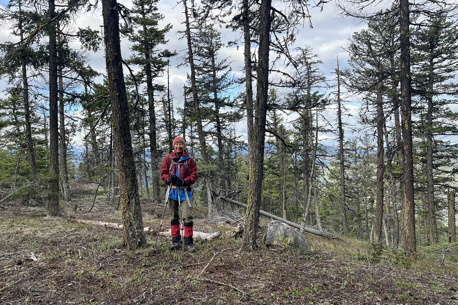
Zosia stands on the true summit of Mount Law (1130 metres). |
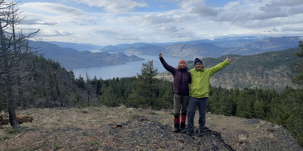
Zosia and Sonny stand on a viewpoint overlooking Okanagan Lake.
 |
Zosia takes a short cut on descent. |
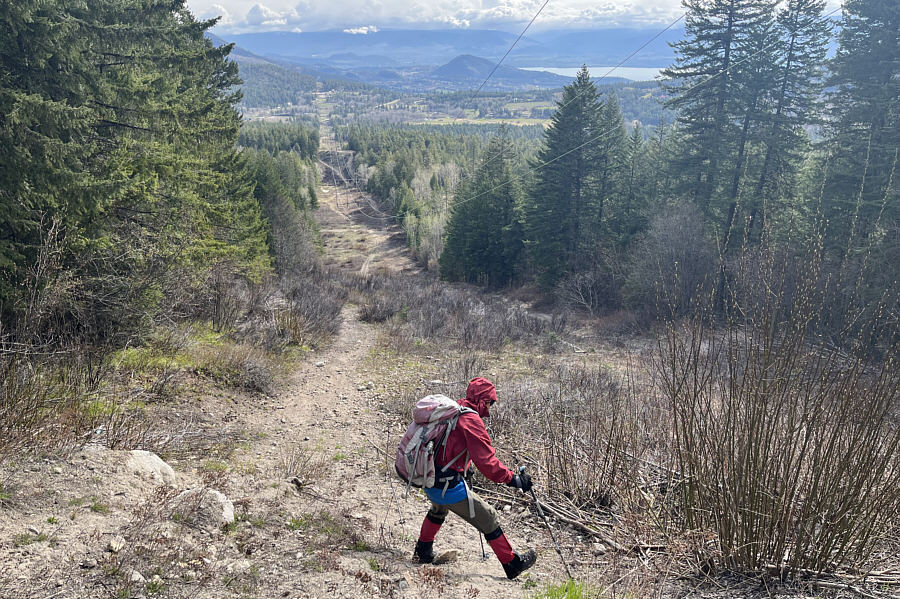 |
Zosia takes another short cut by dropping steeply down the power line right-of-way. |
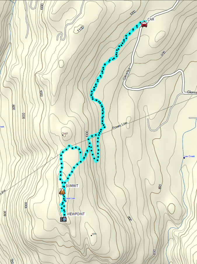 |
Total Distance: 10.6 kilometres Round-Trip Time: 4 hours 15 minutes Cumulative Elevation Gain: 239 metres |
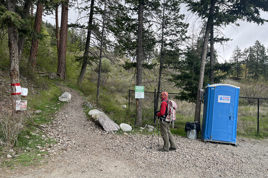 |
Zosia starts hiking at the trailhead for Pincushion Mountain. |
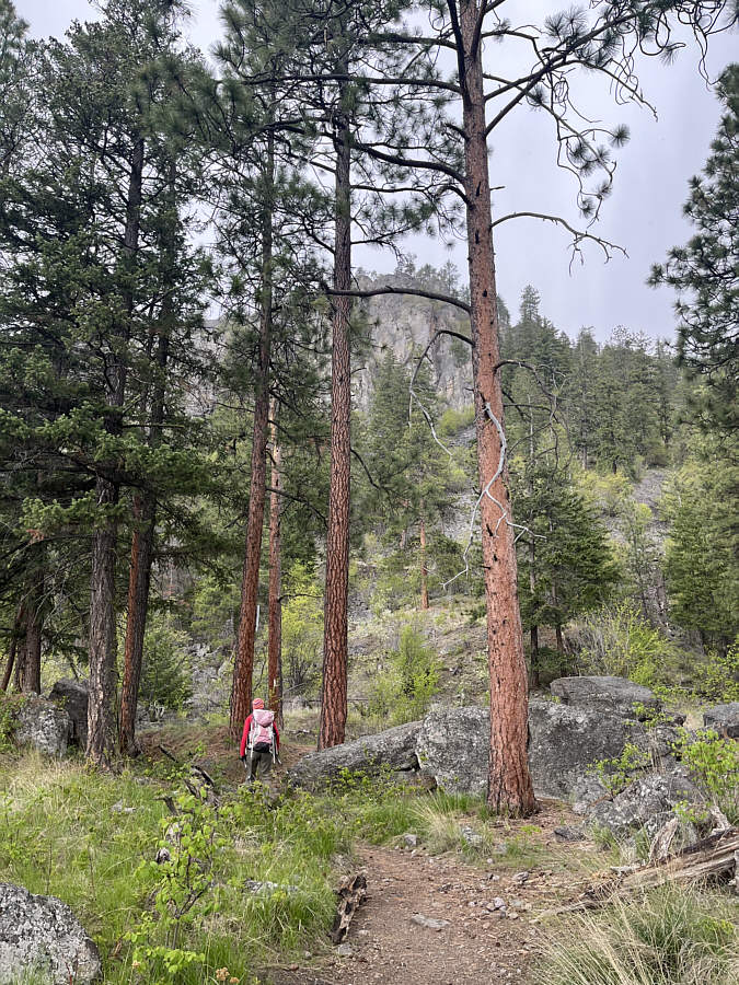 |
Zosia gets a glimpse of some cliffs guarding the upper parts of Pincushion Mountain. |
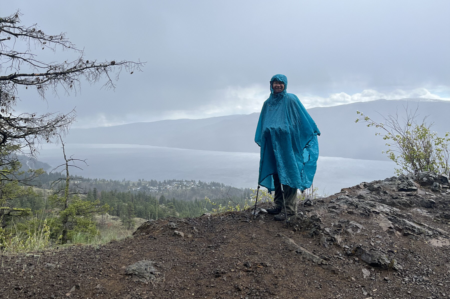 |
Zosia has a handy poncho to keep her dry in the rain. |
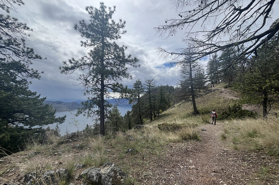 |
The summit of Pincushion Mountain comes into view as Zosia gains the north ridge. |
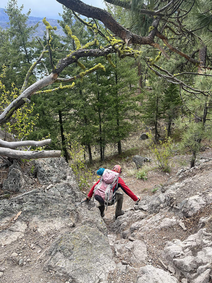 |
Zosia carefully scrambles down a steep section along the trail. |
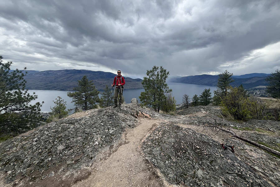 |
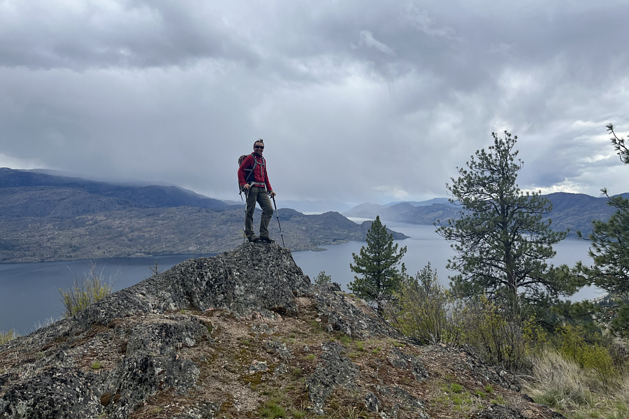
Zosia reaches the true summit of Pincushion Mountain (809 metres). |
 |
This subsidiary high point is only about a metre lower than the true summit. |
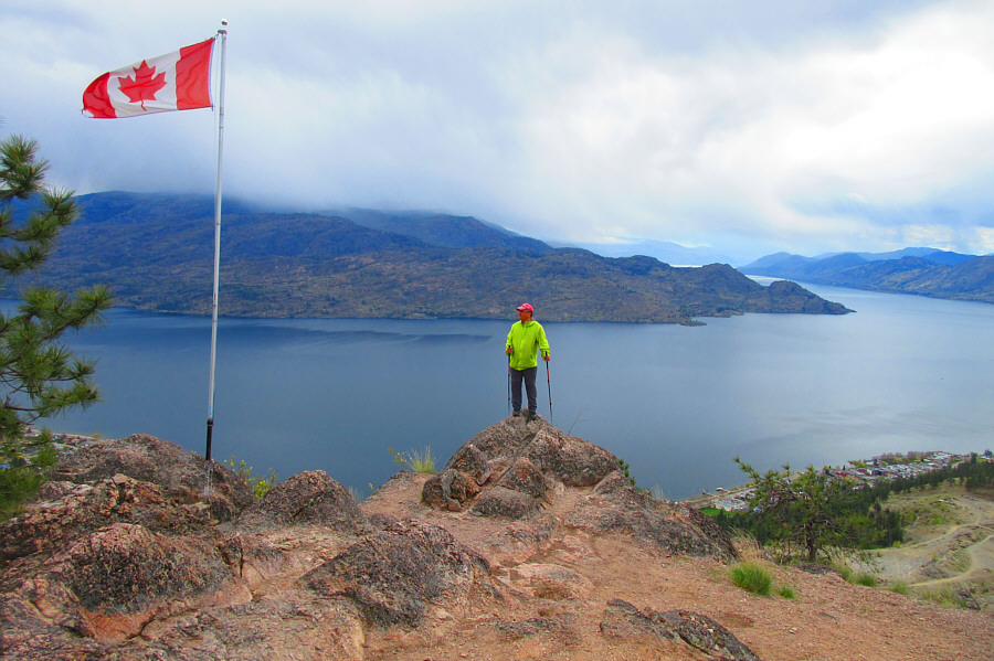 |
A flag marks a superior viewpoint
south of the summit. Photo courtesy of Zosia Zgolak |
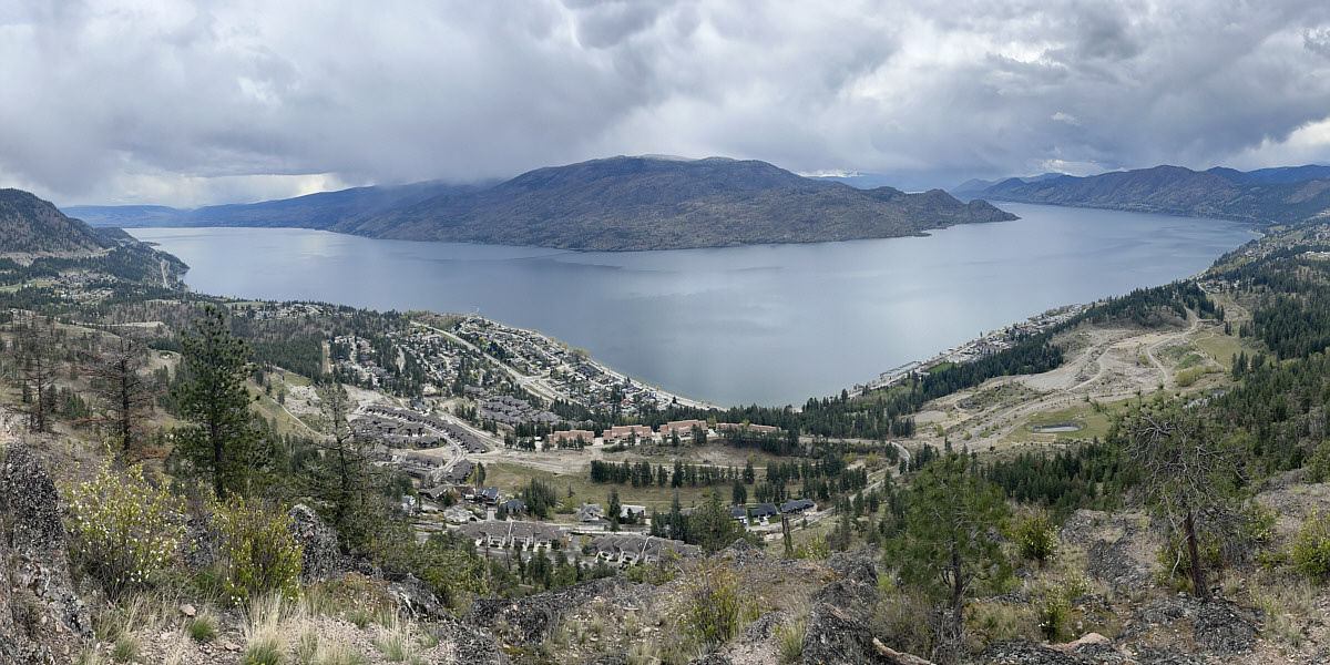
Here is an unobstructed view of Okanagan Lake from the flag site.
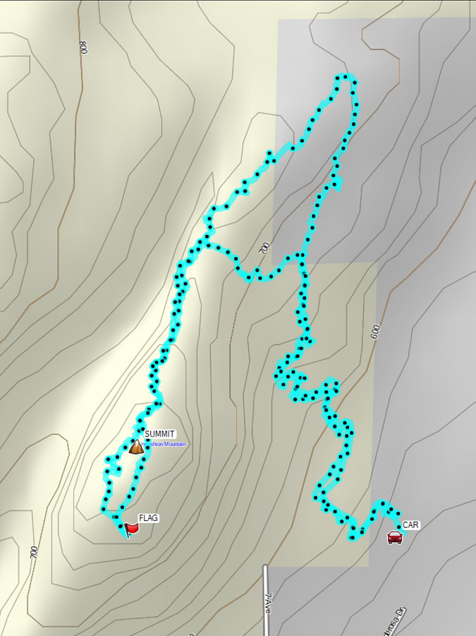 |
Total Distance: 3.9 kilometres Round-Trip Time: 2 hours 6 minutes Cumulative Elevation Gain: 252 metres |