BOU AVENUE
Miles Coulee Ridge

With Eva Nagyova visiting from out of town, Zosia Zgolak and I organized a hike with her in Alberta's Bob Creek Wildland Provincial Park on 10 May 2025.  From looking at maps and satellite imagery, I picked out one of the many unnamed ridges in the area which I thought might make for a good hike.  The ridge I picked flanks Miles Coulee, and as such, I have taken the liberty to name it "Miles Coulee Ridge".  Joining us for this adventure was Aga Sokolowska.

From Highway 22, turn west onto Township Road 10-1A, 47.0 kilometres south of the junction with Highway 533 or 25.0 kilometres north of the junction with Highway 3.  This is the same road which accesses Maycroft Provincial Recreation Area (campground with available toilet) on the north side of Oldman River.  After turning off Highway 22, immediately veer right onto a good gravel road and drive 13.0 kilometres to road's end at Bob Creek Staging Area (49.88868, -114.25594; no facilities).

Starting from the information sign boards at the staging area, Eva, Aga, Zosia and I headed north along a dirt road which veers left after 120 metres and climbs up a hill before reaching a barbed wire gate at the park boundary.  Beyond the gate, we followed the road over a low rise, and after heading northward for about 1.5 kilometres, we veered left at a split.  Near a conspicuous erratic, we abandoned the road and hopped over Camp Creek to ascend a spur ridge which ultimately connects to the main spine of Miles Coulee Ridge.  Other than having to squeeze through a barbed wire fence on the spur ridge, we had few difficulties making our way up to the first high point on the main ridge.  At the high point, we ran into a hunter who was scouting the area for game, and he informed us that he saw a bear with cubs on one of the hilltops further north.  My original plan was to continue to a second high point in that direction, and fortunately, the bears were spotted on a separate bump well away from our intended route.  Still, we proceeded with caution as we descended the north side of the first high point to a 4-way junction with a crossroad in a dip.  Going straight, we picked up a good trail winding up the continuation of the ridge.  This trail kind of peters out higher up, but we just followed our noses through the light forest until we reached an open hillside just below the second high point.  Some easy off-trail hiking led us to the top which is adorned with a huge windbreak.

After taking an extended break on the second high point, Eva, Aga, Zosia and I backtracked to the aforementioned 4-way junction.  As shown on the map at the trailhead, the crossroad here drops down the east side of the ridge into Camp Creek valley, and on paper at least, this appeared to be an easier return route than climbing back over the first high point.  When we were chatting with the hunter, he strongly discouraged us from taking this alternate route back, but our preference for loops and a curiosity to explore were hard to resist.  Initially, we dropped off the crest of Miles Coulee Ridge as expected, but the road then makes an inexplicable turn to the north going up and over a high shoulder and then connecting with a similarly undulating cut line heading east.  Even when we finally dropped down to Camp Creek valley, the road heading south still had some challenging creek crossings and an irritating number of uphill sections.  As such, the hike out was far from trivial and felt both long and wearisome.  Ultimately, we closed our loop at the split, and though we still had some distance and elevation gain left to the trailhead, familiarity with the road already traveled somehow made the remainder of our egress feel less stressful.
Fox on the run! 
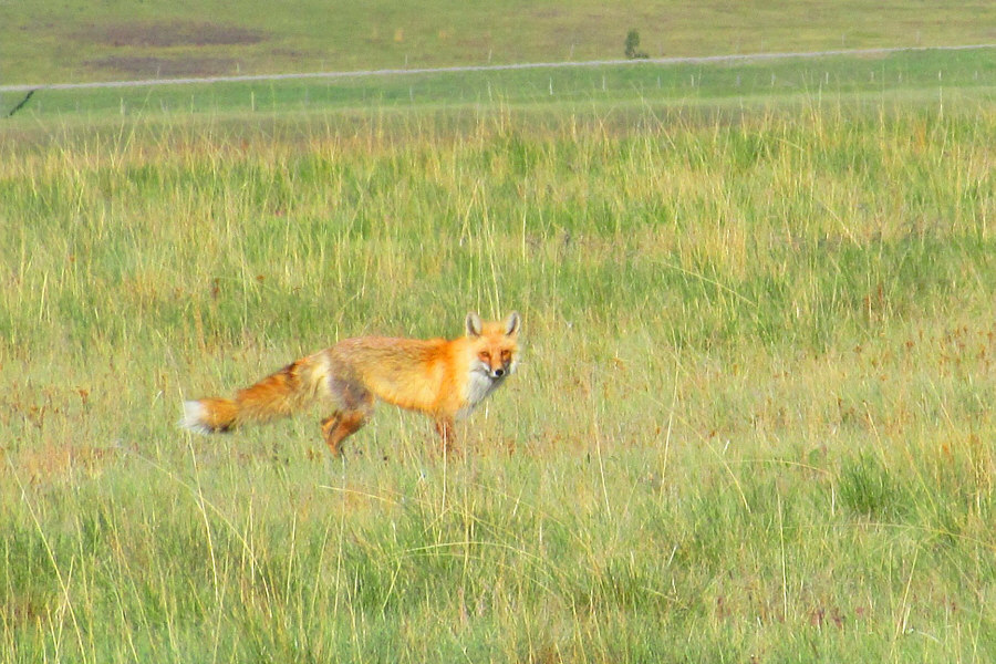
A red fox roams a field beside the road to Bob Creek Staging Area.

Photo courtesy of Zosia Zgolak

E-bikes would be helpful for the approach! 
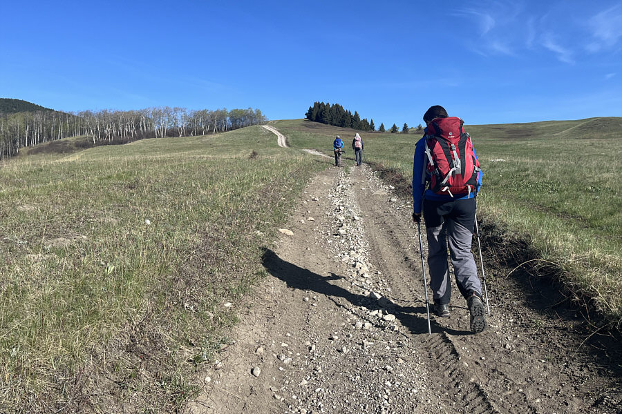
Eva follows Aga and Zosia on a dirt road at the start of the trip.
Eva's already on the other side of the gate! 
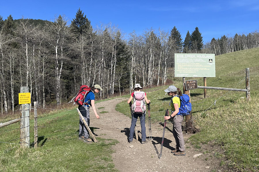
The group reaches a gate at the boundary for Bob Creek Wildland.
Looks far away...

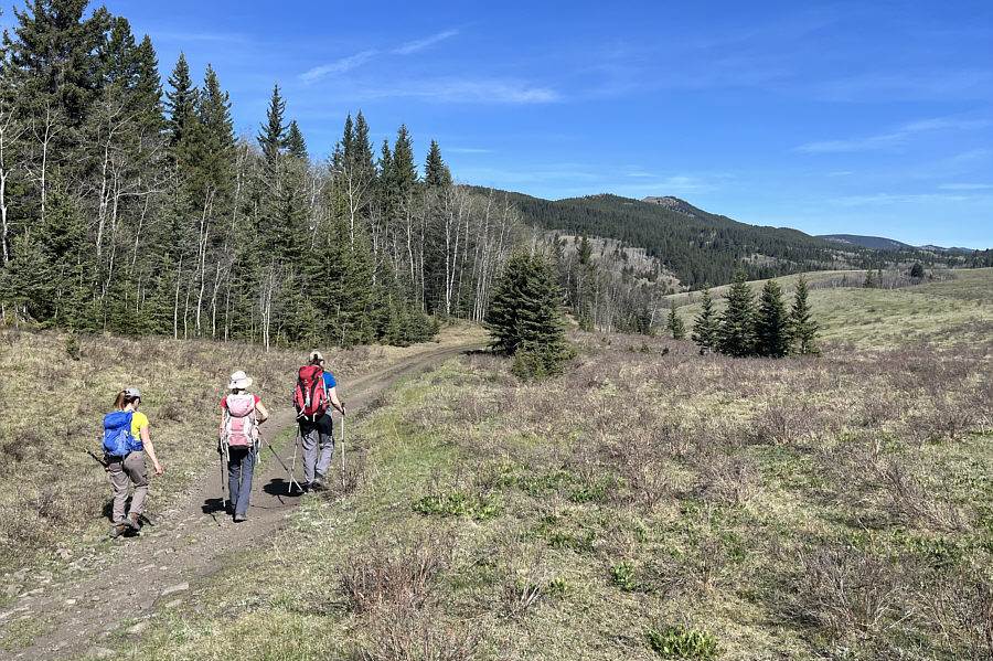
The group gets its first glimpse of Miles Coulee Ridge in the distance.

That metal dish that Zosia is holding is very heavy! 
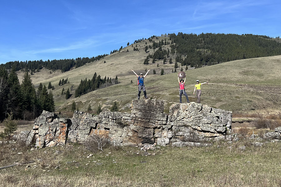
Eva, Zosia and Aga conquer a conspicuous erratic near the south end of Miles Coulee Ridge.
Might as well jump!

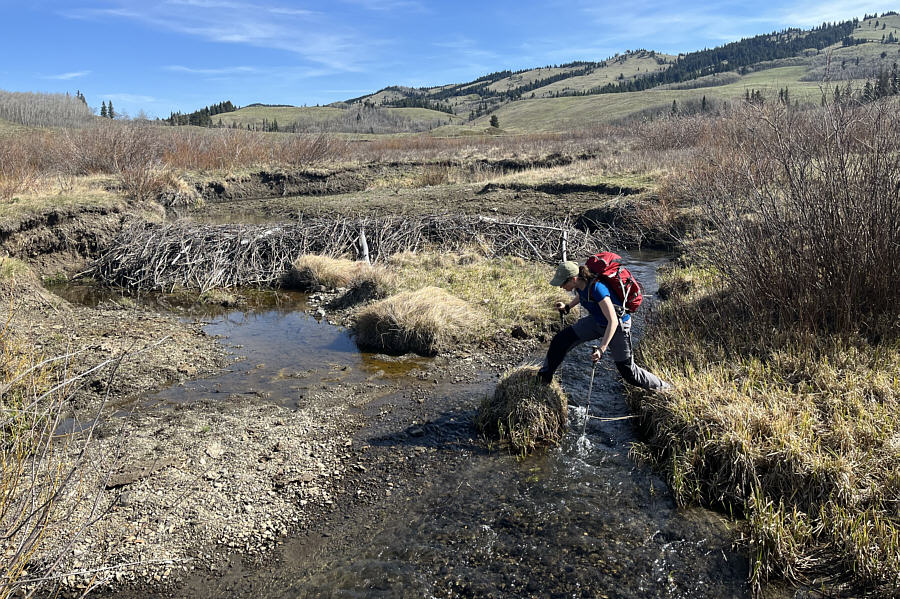
Eva tries to keep her feet dry while crossing Camp Creek.

If there is enough snow, this would be a good ski slope in winter!

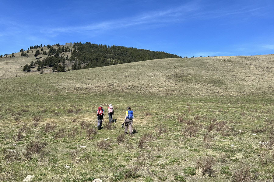
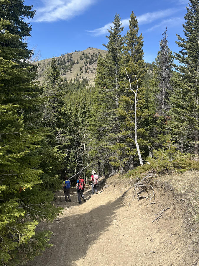
The group takes a short cut by climbing this spur ridge which will eventually connect to the main ridge.

It's been 18 years since I climbed Thunder Mountain!

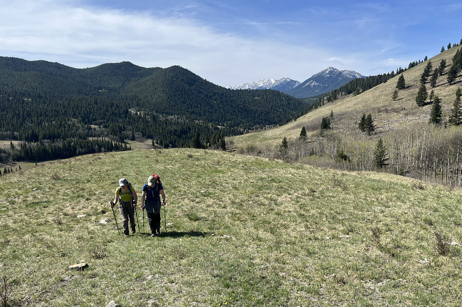
As Aga and Eva ascend the spur ridge, Thunder Mountain can be seen through the gap at right.

Some route-finding required ahead...

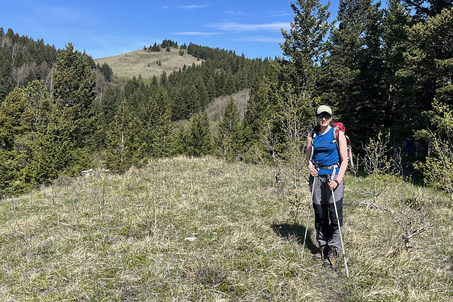
Eva pauses at this clearing just before advancing to the main spine of Miles Coulee Ridge which can be seen in the background.

Maybe we should just order a pizza... The group gains the main spine of Miles Coulee Ridge.  The south end of Whaleback Ridge is visible on the left horizon.
 

If this ridge was closer to Calgary, this would be a very popular hike!

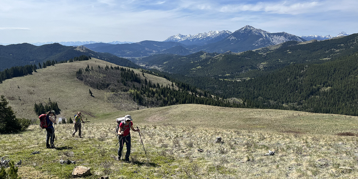
The views get better as the group climbs further up the ridge.


Looks like there is someone up ahead... The final approach to the first high point is easy.  The group aims to extend the hike to the distant bump at centre.
See any bears? Yes! 
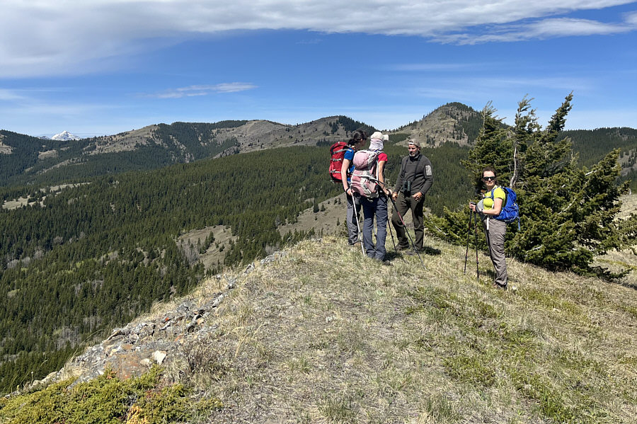
On the first high point (1815 metres), the group meets a hunter scouting for game.
 

The hunter spotted a bear and cubs on the right bump--we would give it a miss on this day!

Although the group is aiming for the highest bump at left, the other lower bumps all look appealing to climb.


The bump is farther away than it looks here! 
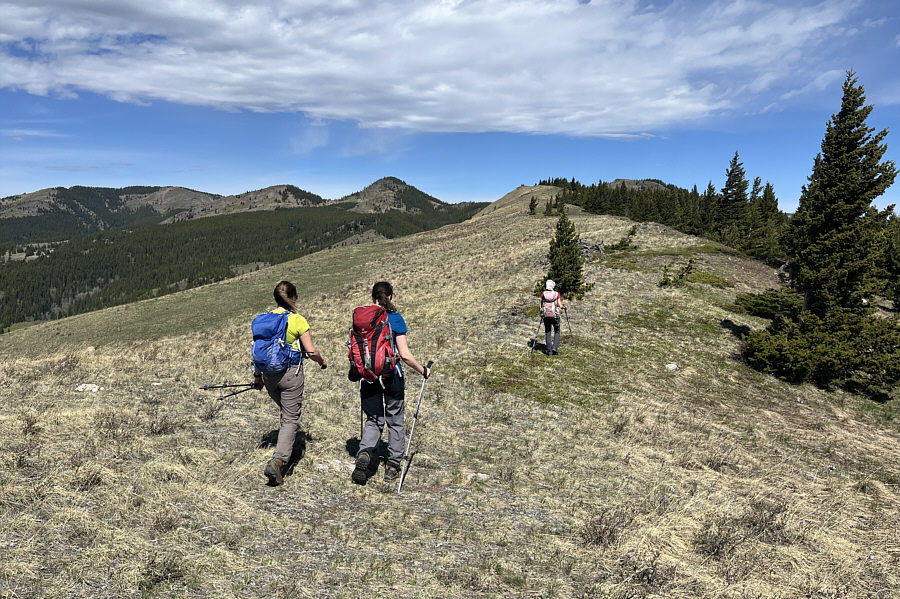
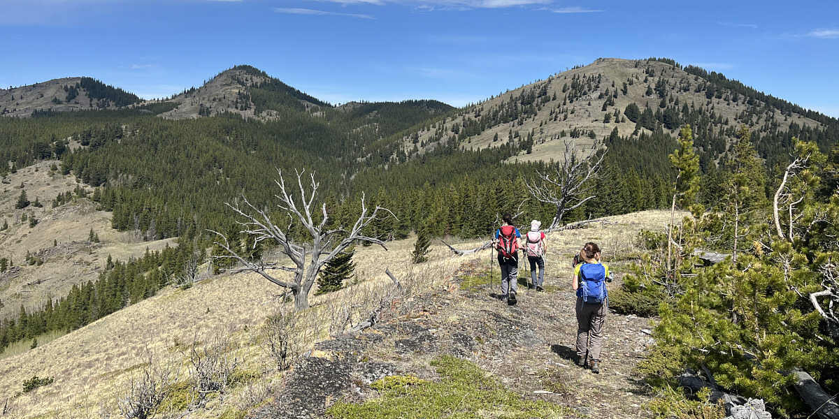
The route to the highest bump (right) follows the continuation of the ridge beyond the slight dip ahead.
We shoulda returned over the first high point! 
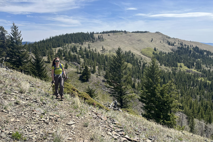
Here is a look back at the first high point of Miles Coulee Ridge.
Unfortunately, not the last uphill grind of the day! 
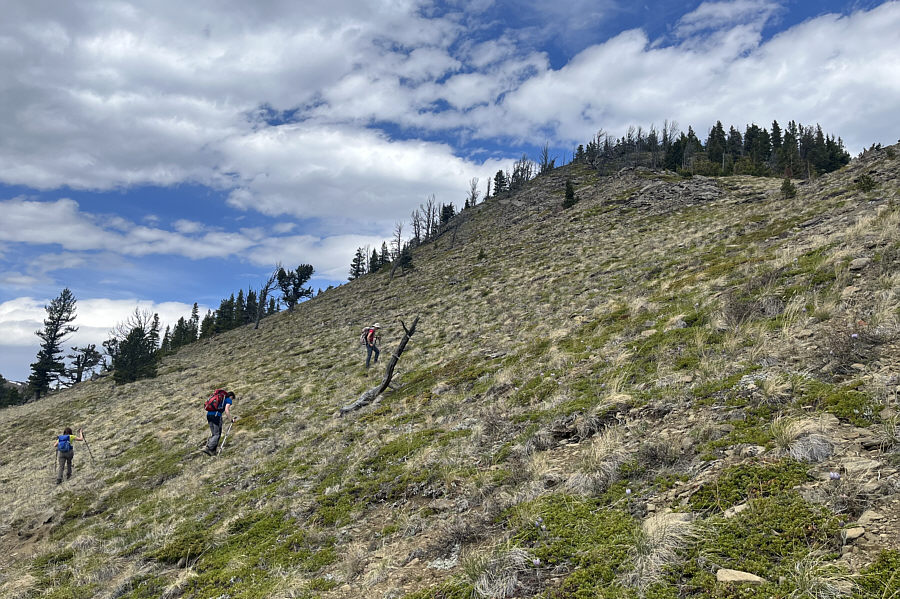
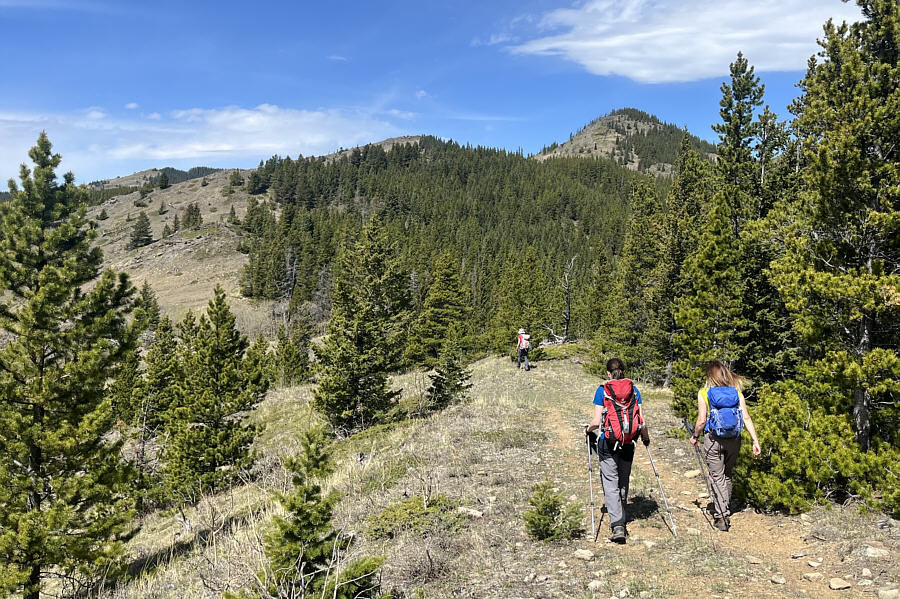
The group climbs up the final rise before the top of the highest bump.
Blue, red, blue, red! 
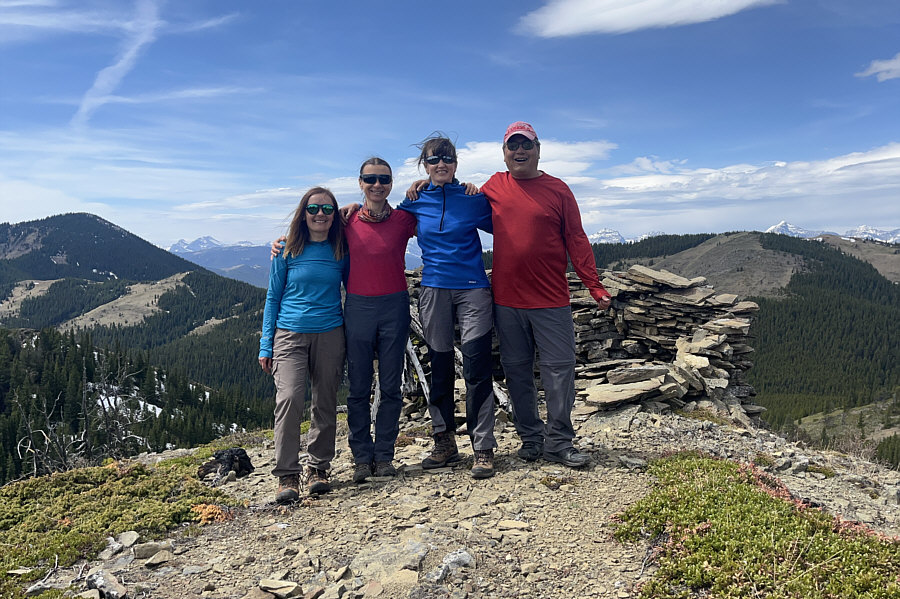
Aga, Zosia, Eva and Sonny stand on the second high point (1988 metres).
This may be the year to give Centre Peak a go... 
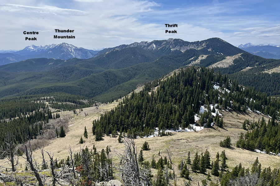
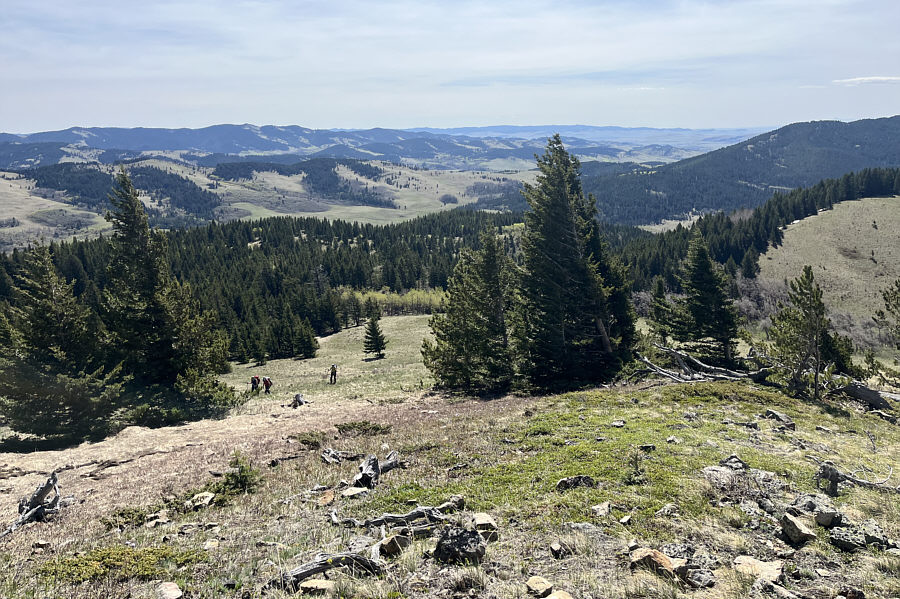
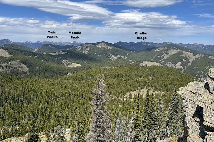
Here is the view to the southwest from the second high point.
 

The unnamed ridge looks like another good hike for the future!

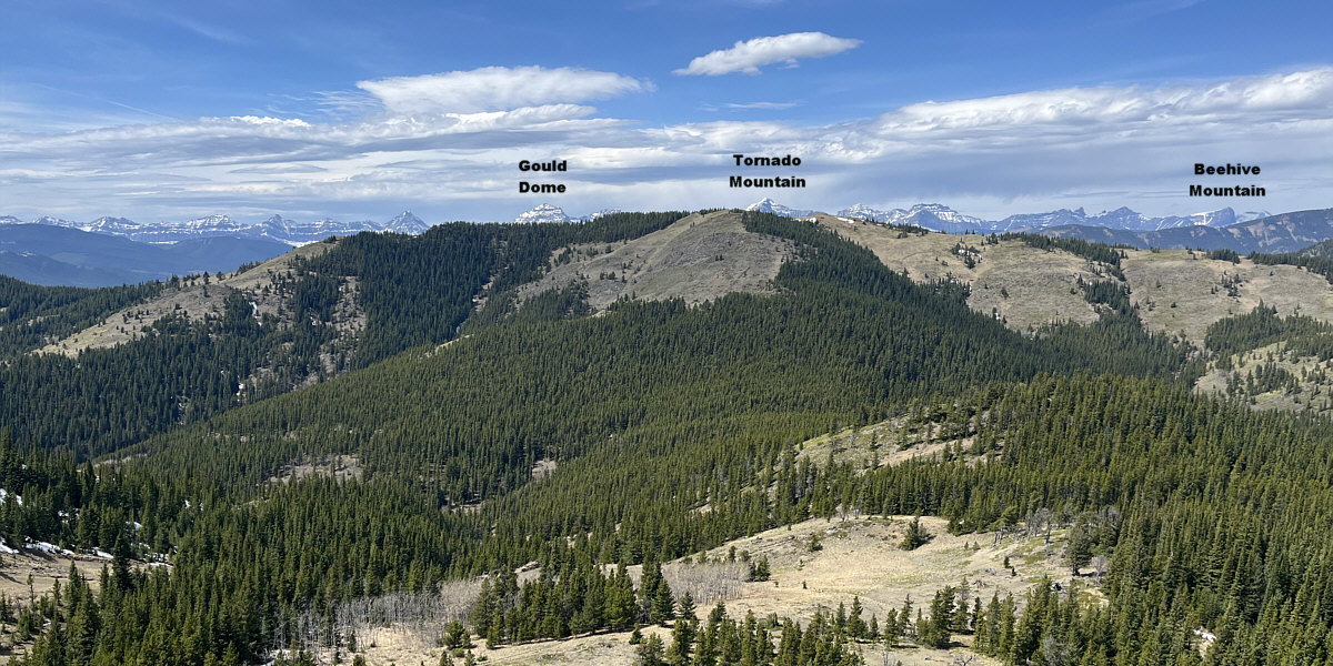
Peaks along the Continental Divide are barely visible behind the unnamed ridge to the west.


Except by bears and hunters! The forested ridges to the north are probably seldom hiked.
I'm gonna be hurtin' after this hike! 
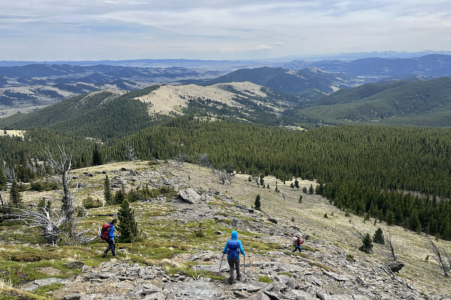
The trailhead seems hopelessly far away as the group descends from the second high point.
This was a big mistake on my part--sorry! The group takes an alternate route back to the trailhead by following this road that drops off the east side of the ridge.
Still some creek crossings and annoying uphills! 
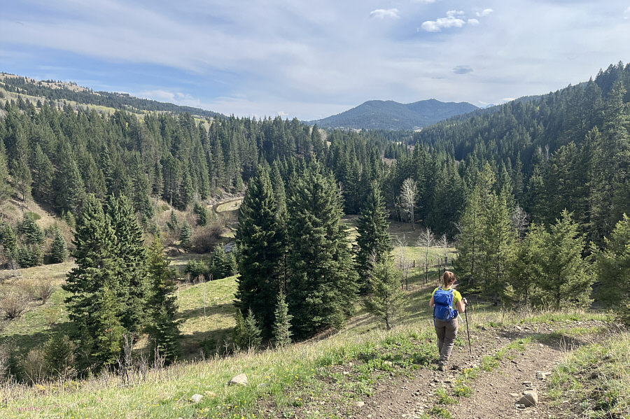
After a convoluted descent off the ridge, Aga appears to be home free, but the hike out Camp Creek valley is not as straightforward as it appears.
 

But we're still 4 km from the trailhead here...sigh.

The wide open spaces of Bob Creek Wildland help alleviate some of the weariness of the long hike out.


Hissssssss! 
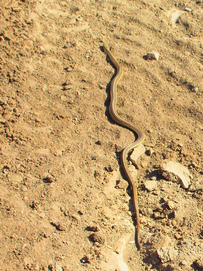
A garter snake slithers along the same road leading to the trailhead.

Photo courtesy of Zosia Zgolak

Skip the alternate descent route--it's garbage! 
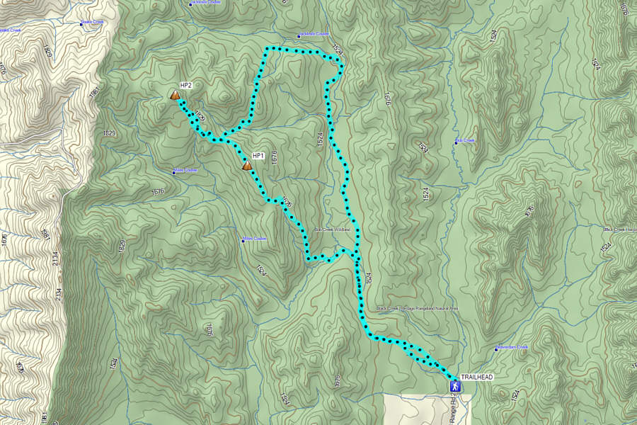
Total Distance:  22.9 kilometres
Round-Trip Time:  10 hours 1 minute
Cumulative Elevation Gain:  897 metres

GPX Data