BOU AVENUE
Okonnel Ridge

Taking advantage of some mild weather on 25 January 2025, Zosia Zgolak and I hiked unofficially-named Okonnel Ridge on the eastern fringes of Alberta's Kananaskis Country Public Land Use Zone (PLUZ).  We got our inspiration for this hike from Bob Spirko who concocted the odd name based on the ridge's location between Okotoks Mountain and Channel Ridge.  We would more or less follow in his footsteps with only some minor route differences.

From the 4-way stop (junction of Highway 22 and Highway 546) in Diamond Valley, head south on Main Street for 300 metres and turn left onto Decalta Drive.  Drive 1.6 kilometres and turn right onto 16 Avenue.  Drive 1.7 kilometres and veer left onto 208 Street.  Drive 1.8 kilometres and turn right onto 450 Avenue.  Ignore all side roads and drive 14.0 kilometres to a large parking area (no facilities) at the PLUZ boundary.

Zosia and I began our hike by heading due south along the west side of the boundary fence line.  Initially, the terrain is flat, but after crossing a large meadow, we began climbing in earnest up a forested ridge on a pretty decent trail.  Snow cover was minimal on this day even in the trees which allowed for easy travel.  About 1.6 kilometres south of the parking area, the boundary makes a 90-degree left turn, and we squeezed through the fence to follow another one heading due east.  We soon abandoned the second fence to hike a ridge line more or less to the south and east.  After crossing a slight dip and climbing up to a scenic clearing, we re-entered forest to reach the unremarkable high point of Okonnel Ridge.  Instead of stopping here, we wandered a little further south before dropping slightly to the west to a large meadow.  This was a nice spot to take a break in the warm sunshine with views of distant mountains.

When we resumed hiking, Zosia and I took a descent line roughly parallel to our ascent route with the aim of minimizing unnecessary extra elevation gains.  Ultimately, we ended up just north of a saddle separating Okonnel Ridge from another forested ridge to the west.  Here, we picked up a good trail--the same one that Spirko used for his return--and we followed it northward through a snowy meadow and then down a wide corridor through the forest.  The corridor eventually bends eastward, and we had no problem following the trail all the way back to the parking area.
No need for a K-Country conservation pass here! 
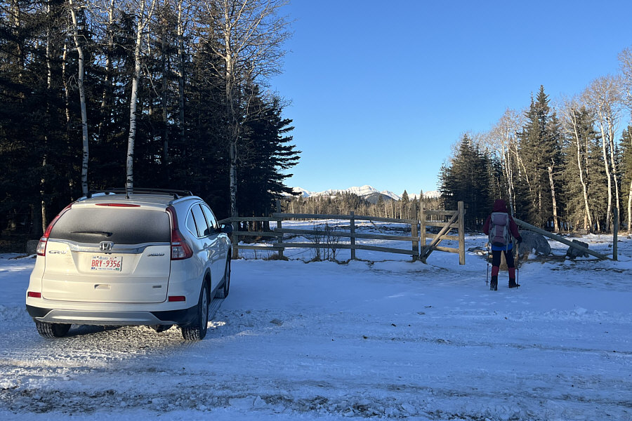
Zosia begins hiking at the eastern boundary of Kananaskis Country Public Land Use Zone.
No short cutting here--private property on the left side of the fence! 
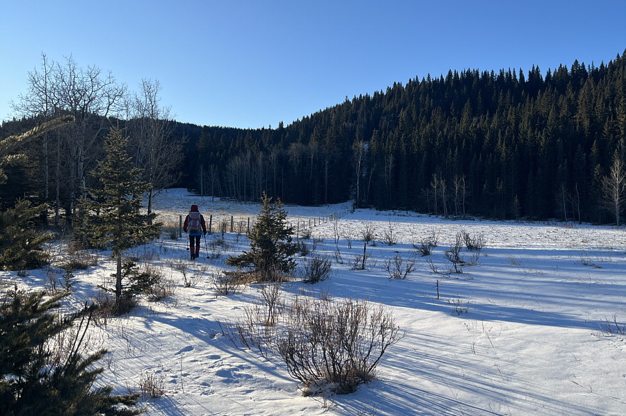
Zosia heads south along the boundary fence.  Okonnel Ridge is behind the trees at far left.
Be careful not to snag your down jacket on the barbed wire! 
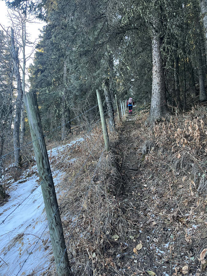
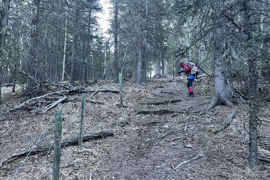
A convenient trail runs right alongside the boundary fence.
Might be worth returning to explore the other ridge...or not! 
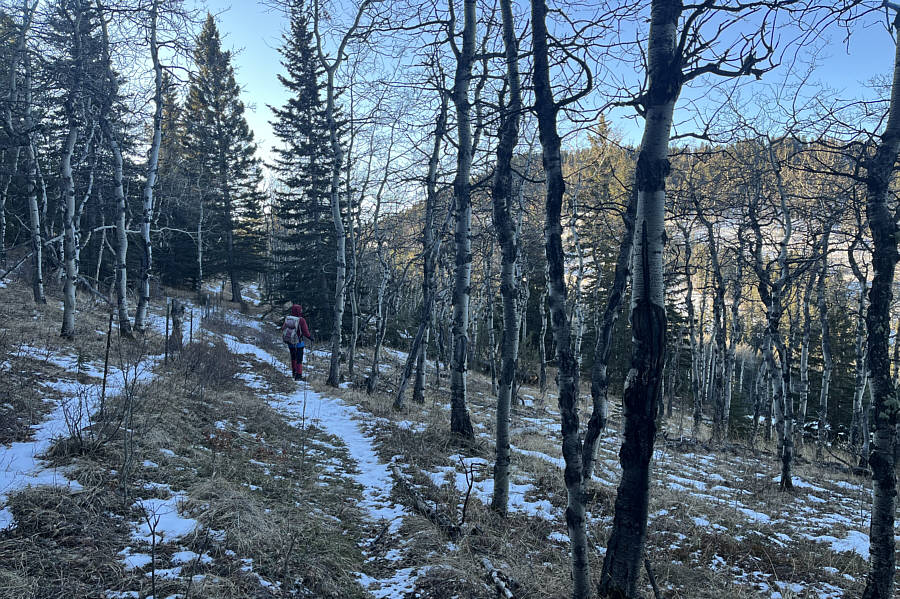
Zosia gets a glimpse through the trees of another ridge on the far side of a low pass.  A trail that runs over the low pass would later be her return route.
We had to squeeze through the barbed wire to get on this side of the fence! Zosia follows a second boundary fence heading eastward.
Don't get your hopes up for summit views! 
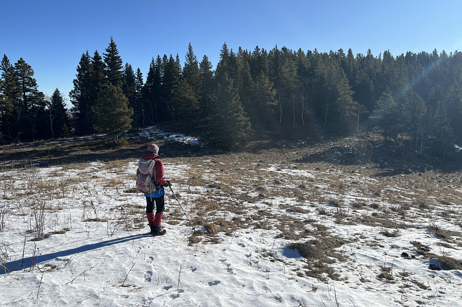
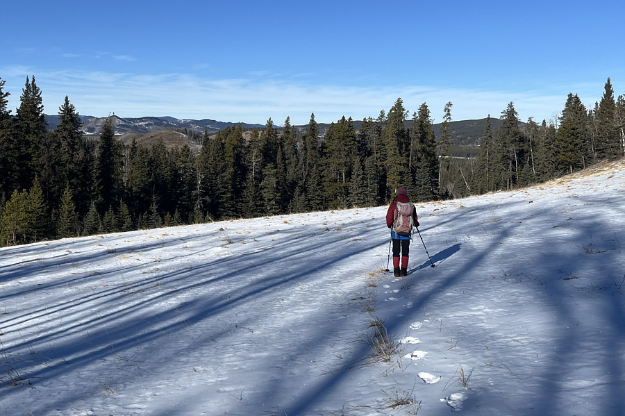
Zosia crosses a clearing short of Okonnel Ridge's high point.
"Oko" means "eye" in Polish! 
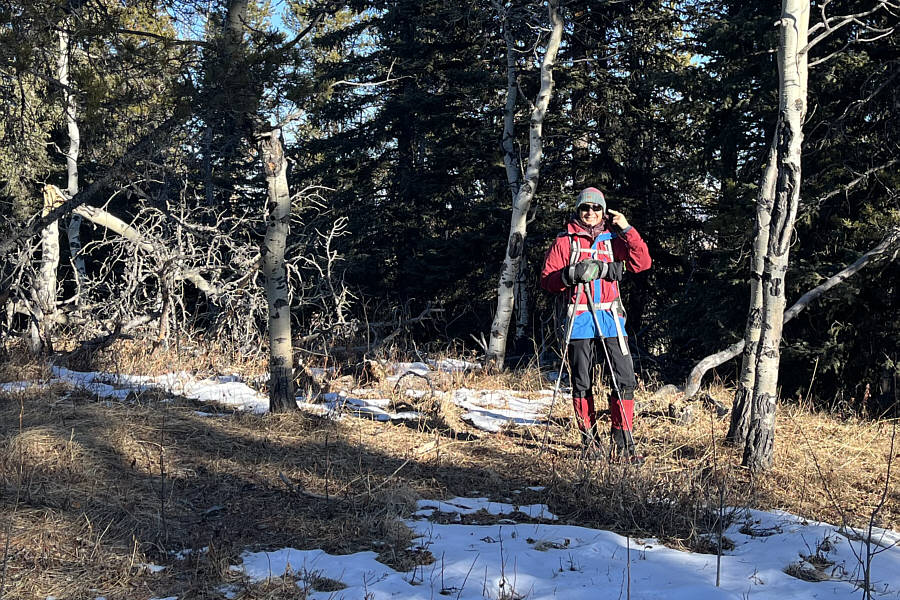
Zosia points at her eye on the viewless high point of Okonnel Ridge (1649 metres).
Pass the beef jerky! 
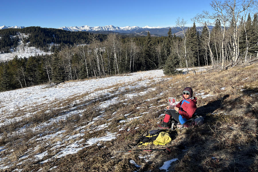
This meadow southwest of the high point provides a scenic spot to take a break in the warm sun.
Nice ski slope here...sorta! The trail over the low pass leads to this snowy meadow and continues into a wide corridor through the trees just ahead of Zosia.
Perfect for horizontal ice climbing! 
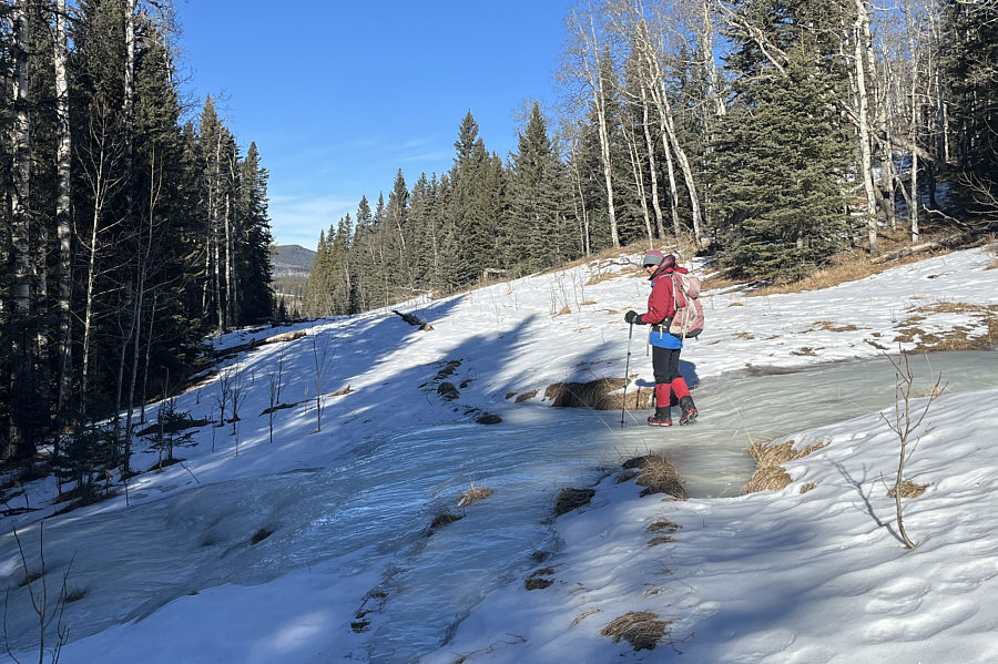
Zosia carefully walks over an ice flow spilling across the wide corridor.
A nice winter hiking objective. 
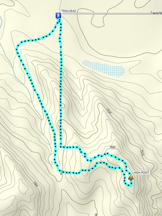
Total Distance:  6.7 kilometres
Round-Trip Time:  3 hours 35 minutes
Cumulative Elevation Gain:  251 metres

GPX Data