BOU AVENUE
Ole Buck Mountain
On 15 November 2025, Zosia Zgolak and I
climbed officially-named Ole Buck Mountain near Sibbald Lake in Alberta's
Kananaskis Country Public Land Use Zone (PLUZ). The ascent is described in Gillean Daffern's Kananaskis Country Trail Guide, but we were also
inspired by Bob Spirko's 2016
trip report. We were not expecting much given Spirko's
less-than-enthusiastic recommendation for this trip, but we were not
looking for anything more than an undemanding shoulder-season hike that
did not require a long drive or big time commitment. Joining us
were Asieh Ghodratabadi, Shaun Luong and Ali Shariat.
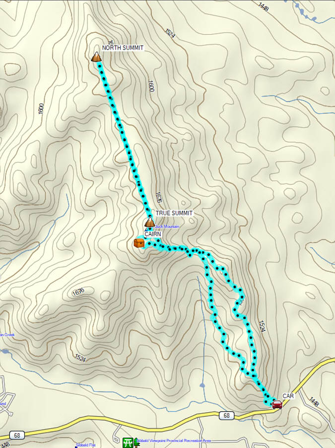
Starting from a nondescript location
(51.04534, -114.82060) along Highway 68, Asieh, Shaun, Ali, Zosia and I
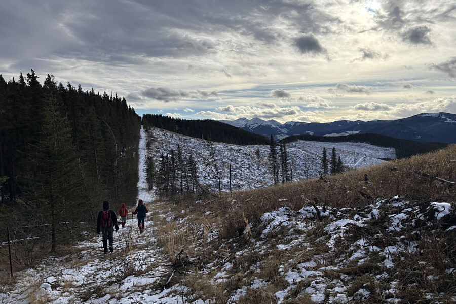
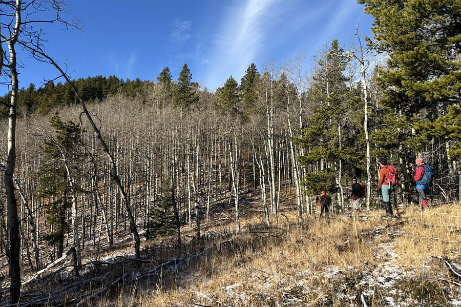
climbed up an embankment to the north and entered the woods briefly
before stumbling onto a cut line going up the southeast ridge of Ole Buck
Mountain. While Spirko more or less followed Daffern's published
route along this cut line, we abandoned it fairly early to follow the
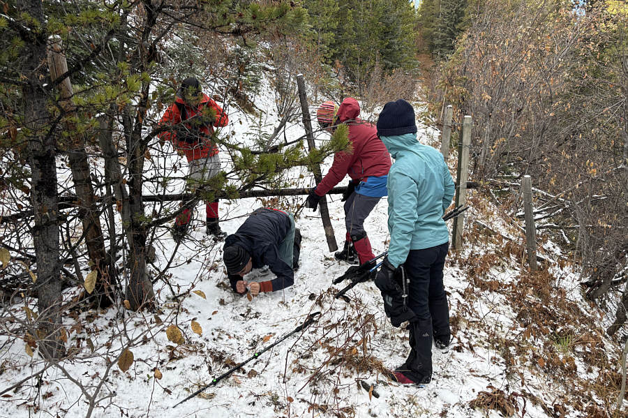
crest of the southeast ridge. The ridge undulates a bit and has
some annoying bush and deadfall in a few places, but overall, I found it
to be a fairly reasonable ascent route. Near the top, we crossed
the original cut line and a barbed wire fence to reach Spirko's "south
summit" which is marked by a cairn with a geocache. This initially
appeared to be the true summit, but when we headed to the PLUZ boundary fence
en route to the north summit, we passed a tree stump at a random spot
that seemed to be marginally higher than the cairn. We took a photo
and a GPS reading here before continuing.
The traverse to the north summit along
the boundary fence line entails quite a few ups and downs but otherwise
presents no serious difficulties. In his report, Spirko made no
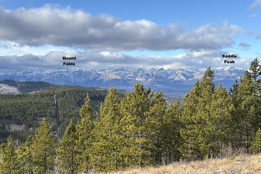
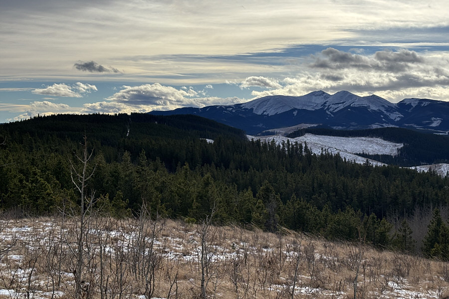
mention of any views until he reached the north summit. Extensive
logging has evidently opened up much of the surrounding terrain, and we
were surprised to have far-reaching views throughout the traverse.
After tagging the north summit, we hunkered down in the shelter of some
nearby trees to take a break from the bone-chilling wind.
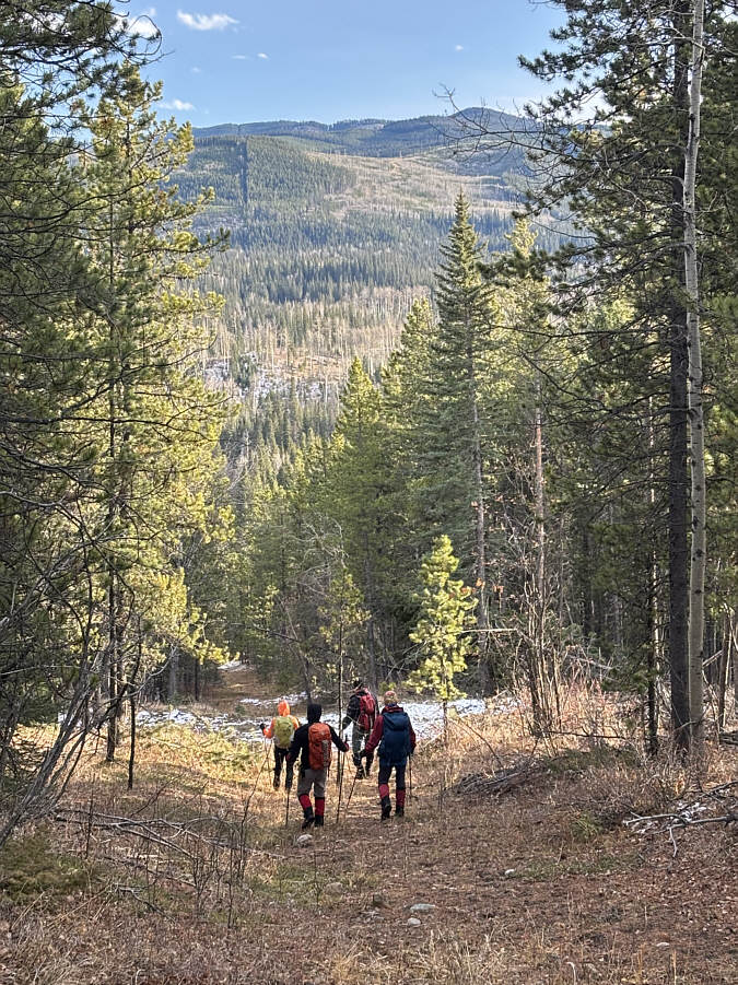
For our return, we retraced our steps
along the fence line back over the south summit and partway along the
southeast ridge. Probably because we were too lazy to climb back
over the bumps along the ridge crest, we somehow ended up on Daffern's
cut line and exited the same way that Spirko did. Unfortunately,
this route has not improved over the years and is quite overgrown and
bushy in places. There is also an annoying amount of uphill travel
before the final descent back to the highway. Thankfully, we all
made it back without ripping our pants!
A big thank you goes to Ali for driving
all of us safely there and back.
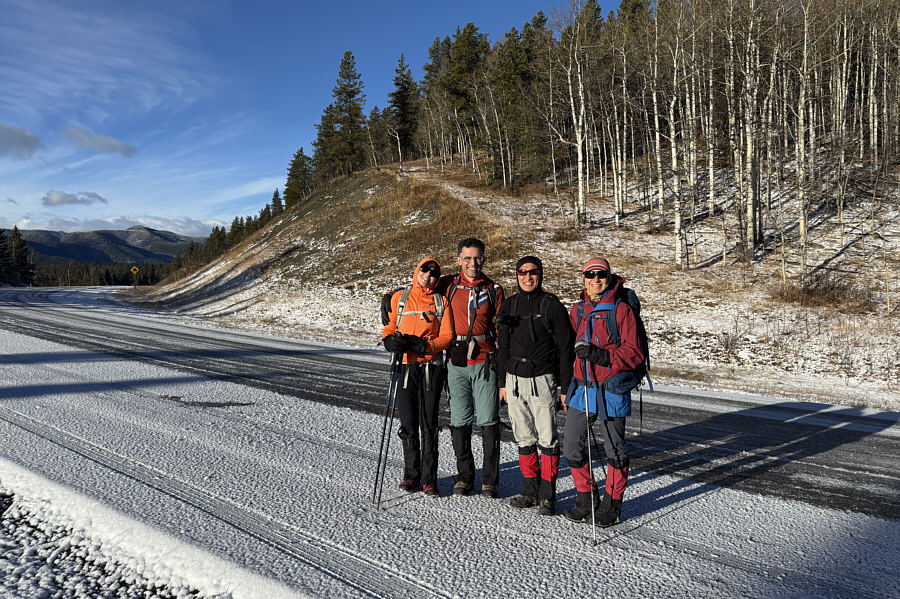 |
Asieh, Ali, Shaun and Zosia stand on
Highway 68 and will proceed up the embankment behind them. |
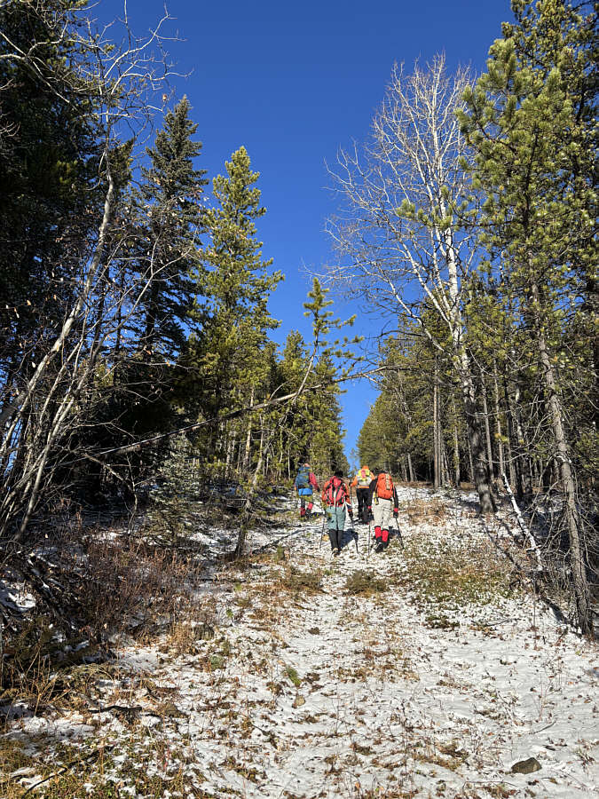 |
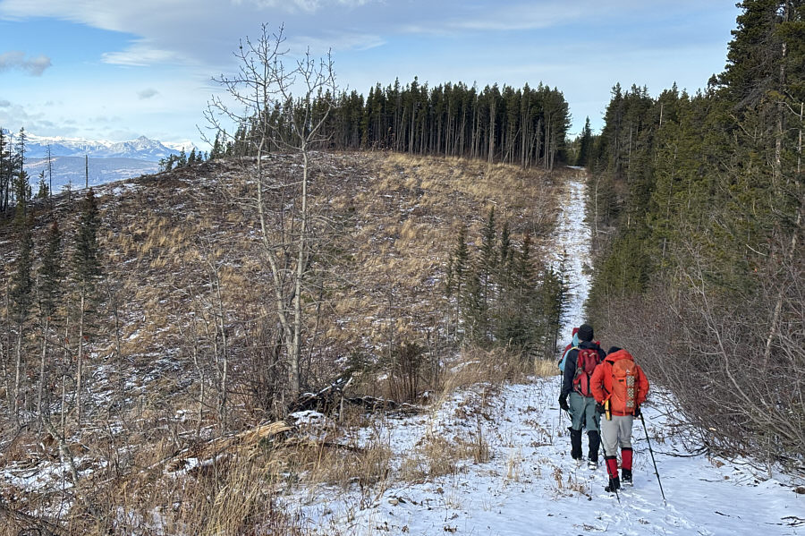
The group ascends a cut line going up
the ridge. |
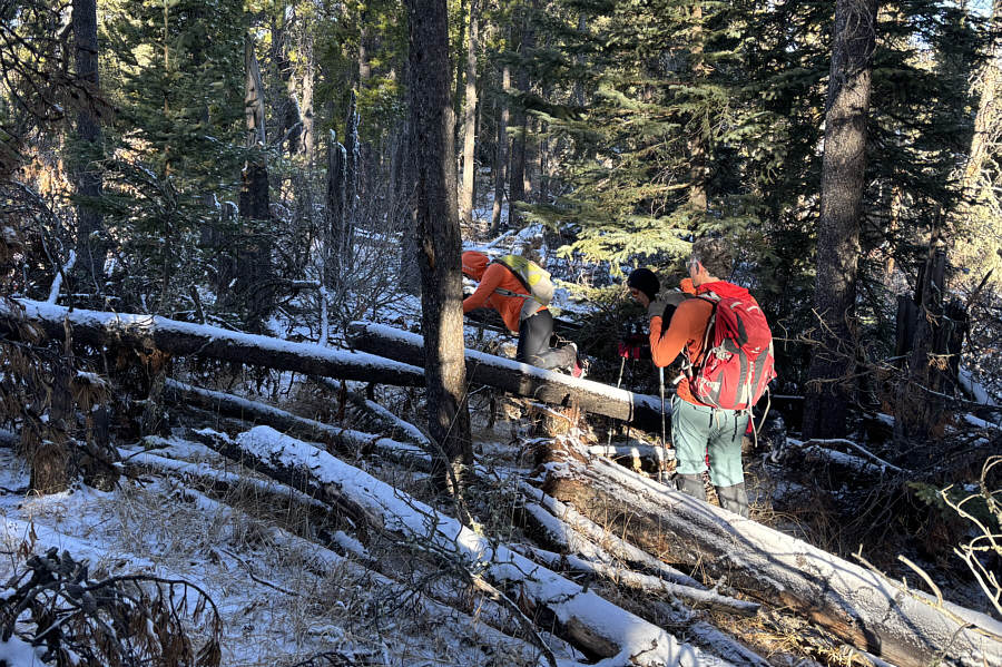 |
Sticking to the ridge crest entails a
bit of bushwhacking through toothpick deadfall. |
 |
The group approaches the forested top
of Ole Buck Mountain (left). |
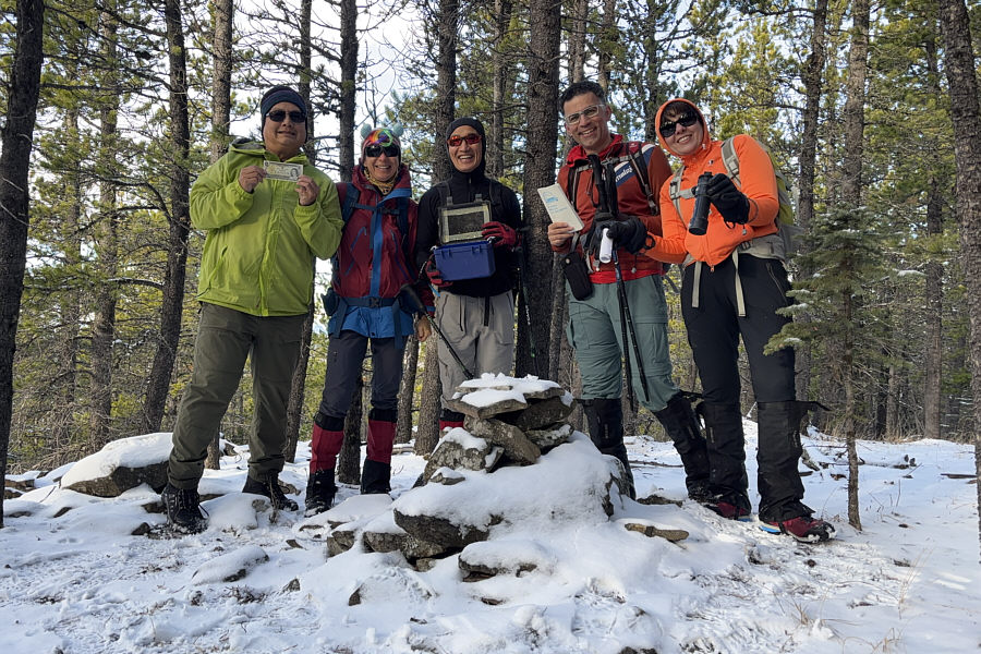 |
Sonny, Zosia, Shaun, Ali and Asieh
find a geocache at the "south summit" cairn (1721 metres). |
 |
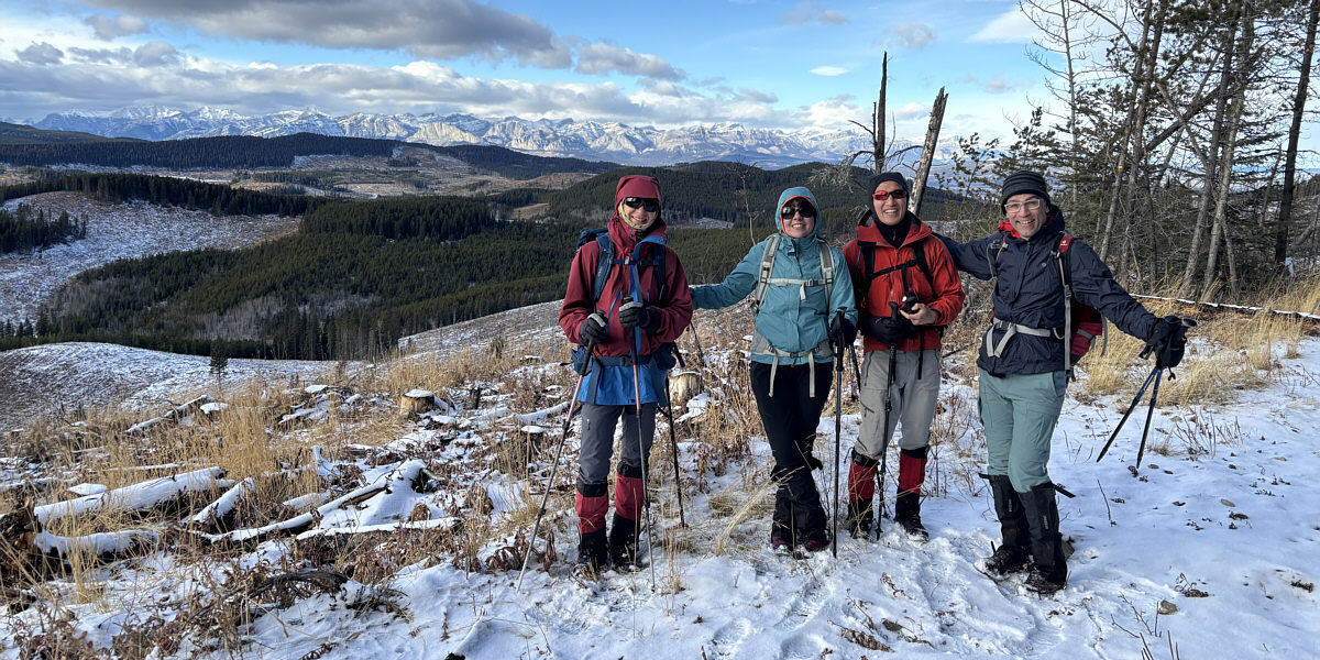
Asieh, Ali, Shaun and Zosia plant
their feet on a tree stump which appears to be the true summit (1723
metres) of Ole Buck Mountain. |
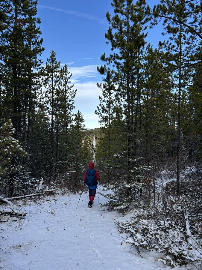 |
Zosia follows a boundary fence line which leads
to Old Buck Mountain's north summit. |
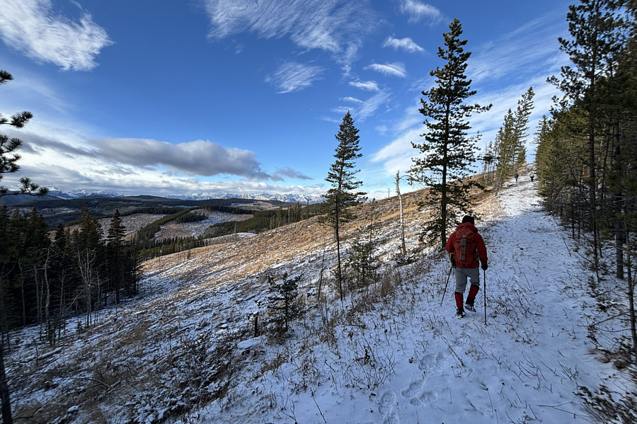 |
Some surprising cut blocks along the
fence line grant far-reaching views. |
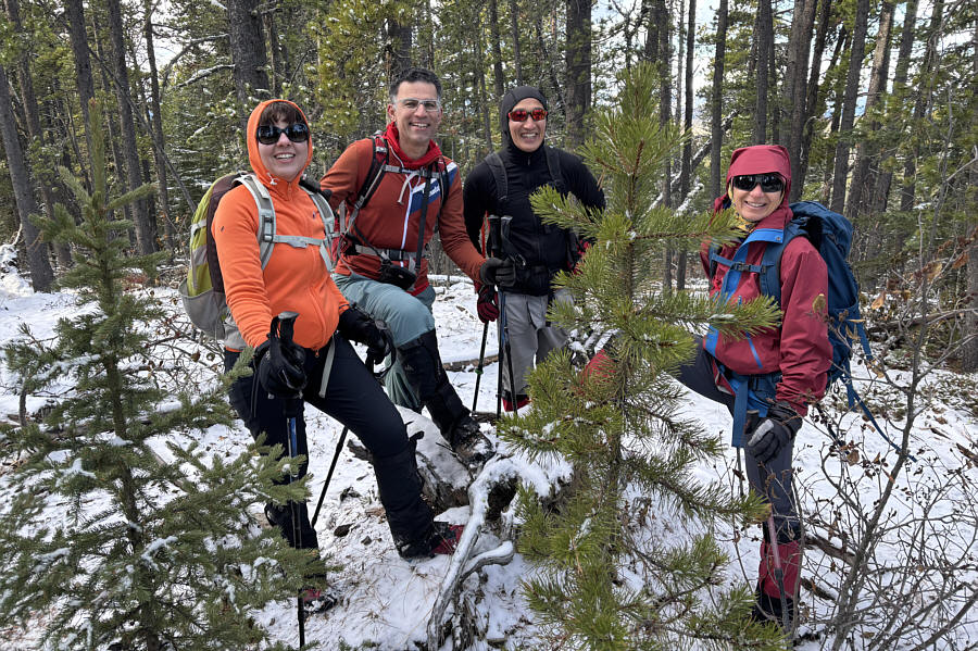
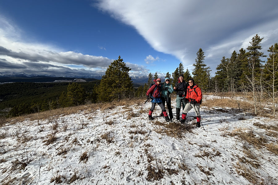
Zosia, Asieh, Shaun and Ali seem pleased with the views
from the fence line.
 |
The group drops into a dip along the
fence line. Visible on the horizon at far left is
Black Rock
Mountain. |
 |
The group arrives at the north summit
(1712 metres) of Ole Buck Mountain. |
 |
This is looking back at Ole Buck
Mountain's true summit (left of centre) and Moose Mountain (right). |
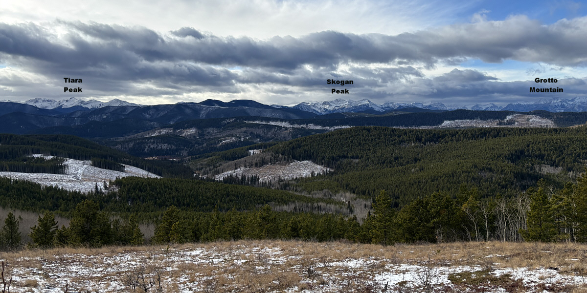
Here is the view to the west from the north summit of
Ole Buck Mountain.