BOU AVENUE
Mount Parker
On 21 April 2025, Zosia Zgolak and I hiked up Mount Parker located on the northwest fringes of British Columbia's White Lake Grasslands Protected Area (WLGPA).  Similar to other mountains in the Okanagan region, Mount Parker is little more than a big, gentle hill, and various off-trail approaches and ascent routes are possible.  Probably the biggest route-finding consideration would be to avoid trespassing on private land.  As such, we would more or less follow Brandon Boulier's route up the southeast ridge albeit with a slightly different starting point.

Zosia and I began our hike from the visitor parking lot (49.32210, -119.62902) for the nearby Dominion Radio Astrophysical Observatory (DRAO).  Much of our chosen ascent route for Mount Parker goes through DRAO land which is apparently open to public foot traffic, and reassuringly, we did not see any "No Trespassing" signs throughout our trip.  Crossing to the far side of the road opposite the parking lot, we immediately picked up a faint trail which led us quickly to a passageway through a barbed wire fence.  Past the fence, we abandoned the faint trail and basically headed northwest through open meadows aiming for an obvious grassy ridge.  Ascending this grassy ridge to the west, we eventually reached a plateau of sorts where we turned northward and hopped a couple of barbed wire fences to enter a section of the WLGPA.  From here, we settled into a long but fairly straightforward climb up Mount Parker's southeast ridge.  Occasional short dips required a bit of route-finding to avoid deadfall or bushy terrain, but navigating the sparsely-forested ridge was generally easy.  We eventually arrived at an open top with a survey station, but the true summit is actually on a further bump which is mostly covered with trees.  Getting from the open top to the forested bump requires a short detour to the south to avoid a swampy gorge, and the true summit is marked by a cairn near the north end of the bump.  Although the true summit is devoid of views, we took a break nearby in the shelter of the forest to wait out a sudden but short-lived snow squall.

Once the snow squall passed, Zosia and I commenced our descent.  With the exception of a couple of detours, we mainly retraced our steps down the southeast ridge.  The first detour was near the top where we avoided climbing back over the open top with the survey station.  The second detour was about halfway down the mountain where we descended a coulee along a jeep track heading south.  After passing through the WLGPA boundary fence, we abandoned the jeep track and turned eastward to ultimately regain our original route.  The remainder of our descent back to the DRAO visitor parking lot was uneventful.
This road is actually busier than you might think--look both ways before crossing! 
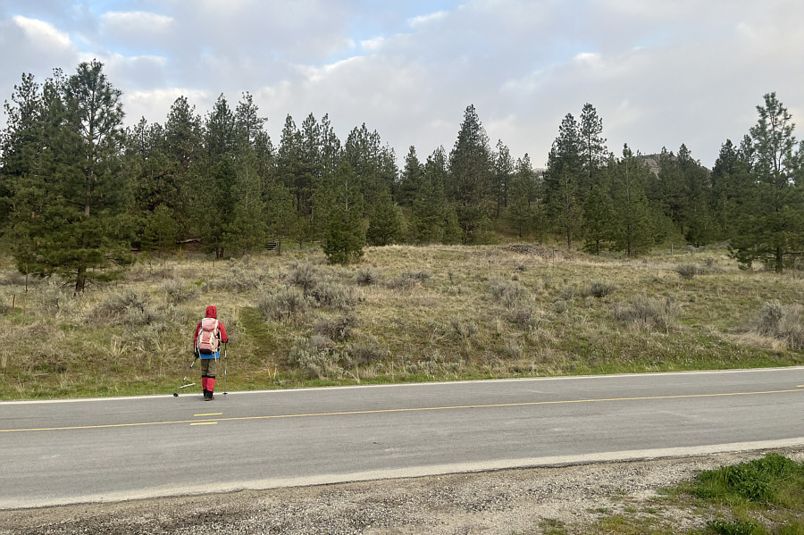
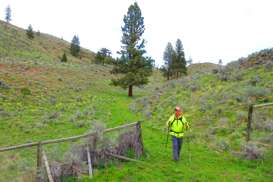
Zosia crosses the road to start up a trail through the grass.
Freedom of the hills! 
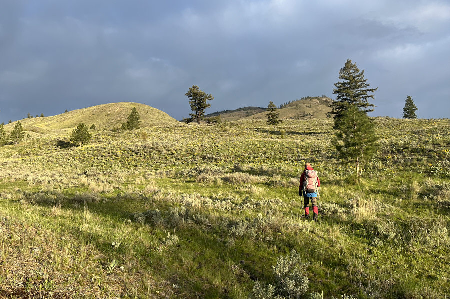
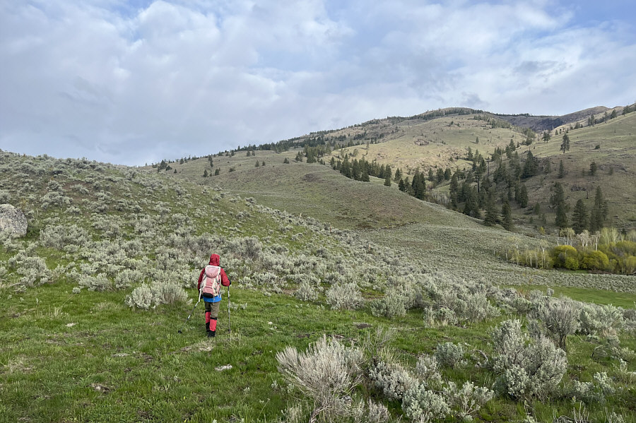
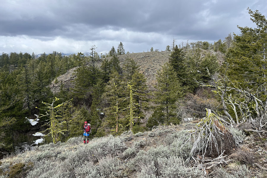
Most of the ascent is simply off-trail hiking.
Very uplifting flowers! 
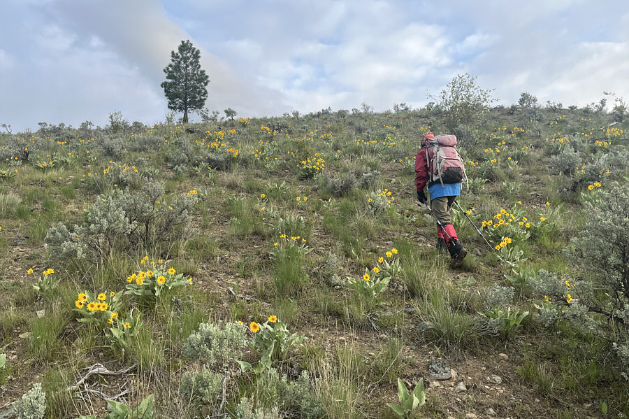
Balsamroots are blooming everywhere in this region.

Beautiful country!

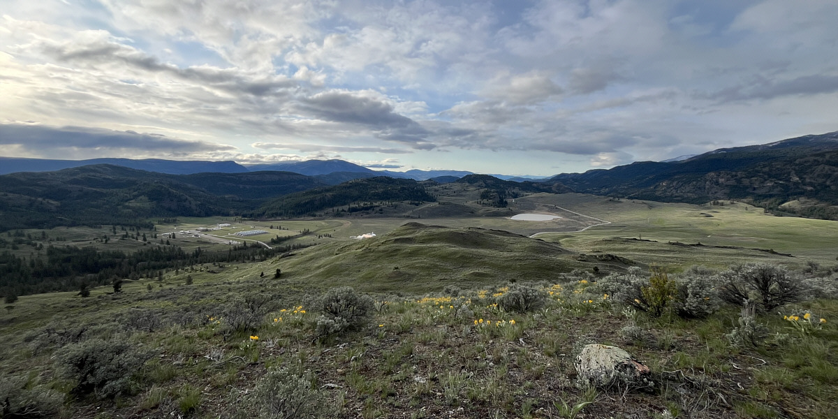
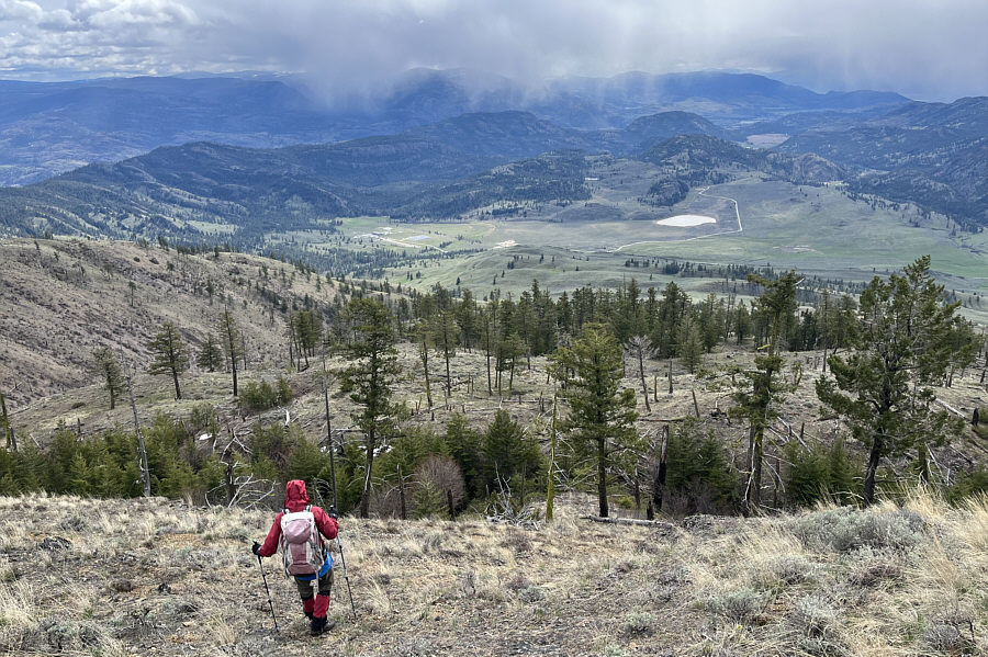
Here is a look back down at Dominion Radio Astrophysical Observatory (DRAO) at left and White Lake at right.


Get ready for a long uphill grind... 
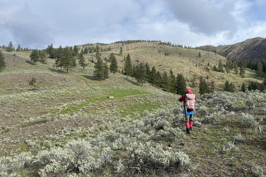
Much of the ascent route up the southeast ridge can be seen here.
The only real scrambling on this mountain! 
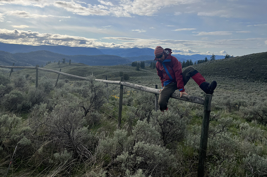
Zosia hops over a barbed wire fence marking the boundary between DRAO land and White Lake Grasslands Protected Area (WLGPA).
Cue the theme from "The Great Escape"!

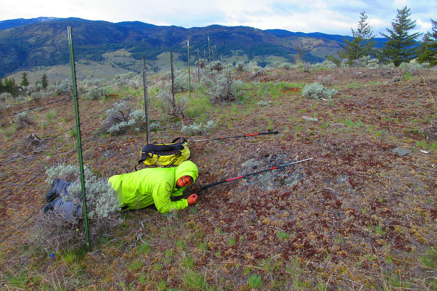
Sonny opts to crawl under a second barbed wire fence.

Photo courtesy of Zosia Zgolak

For thirsty climbers? Zosia approaches a water trough partway up the mountain.
I wonder if this mountain gets enough snow to ski in winter... 
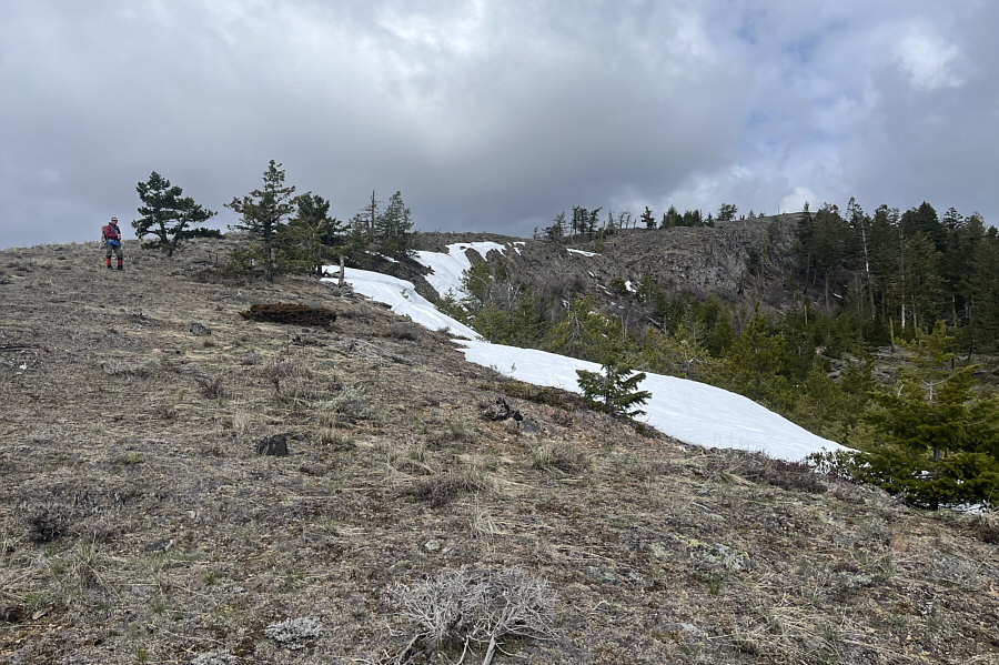
Some lingering snow patches remain near the top of the mountain.
Feels like this should be the summit, but it's not. 
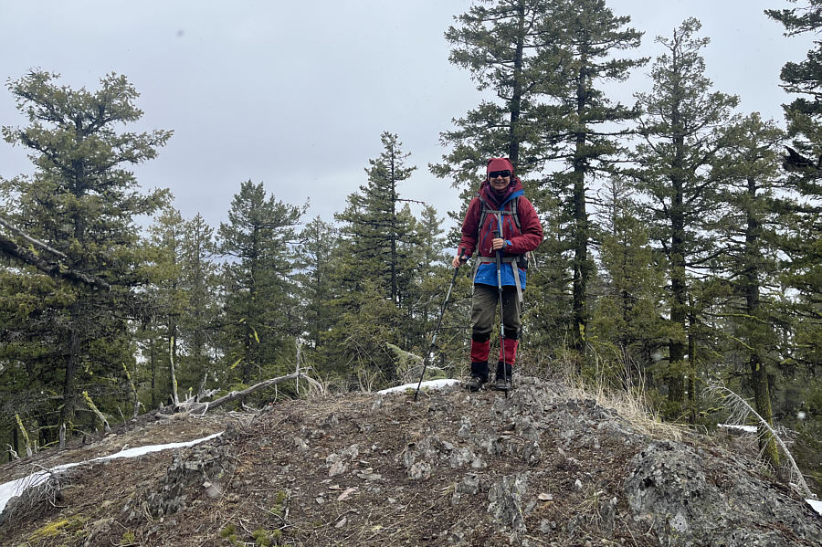
Zosia and Sonny arrive at a survey station (1419 metres) with Skaha Lake visible in the background.
Lotsa frogs live in the dip...ribit! Zosia has to drop into a dip to reach the true summit on the next hump.
The other mound has a cairn, but this one has Zosia! 
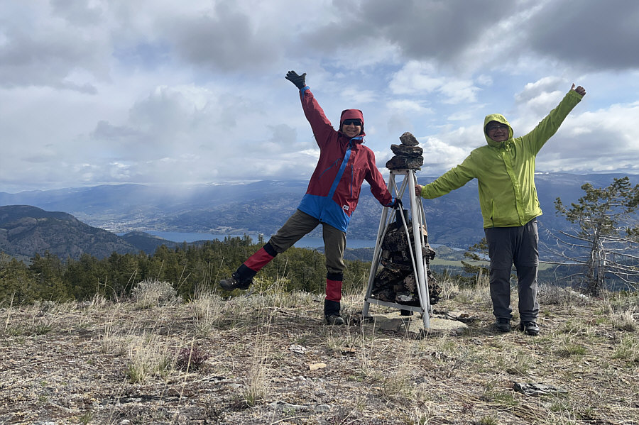
Zosia stands on one of two mounds of approximately equal height (1430 metres) at the summit of Mount Parker.
If there was enough snow here, this would be an awesome ski descent! Zosia makes her way down the mountain roughly the same way she came up.
This jeep track might be a shorter approach for Mount Parker. From the water trough, Sonny takes a detour down a coulee along this jeep track which passes through the WLGPA-DRAO boundary fence.

Photo courtesy of Zosia Zgolak

Watch your step--lotsa cacti hidden in the grass here! 
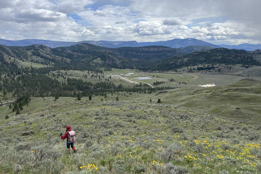
The DRAO is a good landmark to aim for when descending the lower slopes of Mount Parker.
Except for the disappointing summit, this is a fantastic off-trail hike in a beautiful area. 
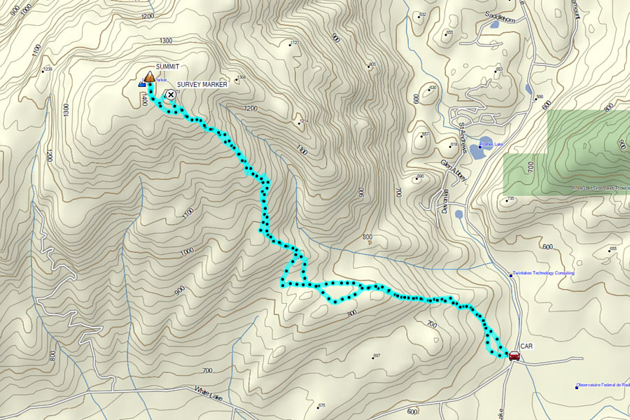
Total Distance:  11.3 kilometres
Round-Trip Time:  6 hours 42 minutes
Cumulative Elevation Gain:  880 metres

GPX Data