Photo courtesy of Zosia Zgolak
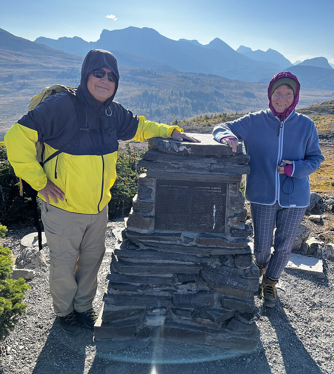
Photo courtesy of Zosia Zgolak
|
|
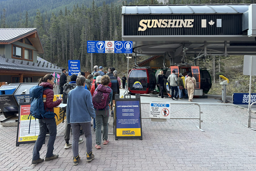
Zosia and Teresa prepare to board the gondola to Sunshine Village. |
|
|
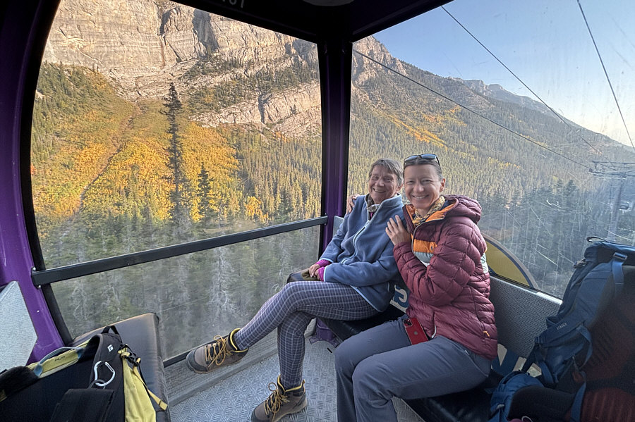
Teresa and Zosia enjoy the views from the gondola on the way up. |
|
|
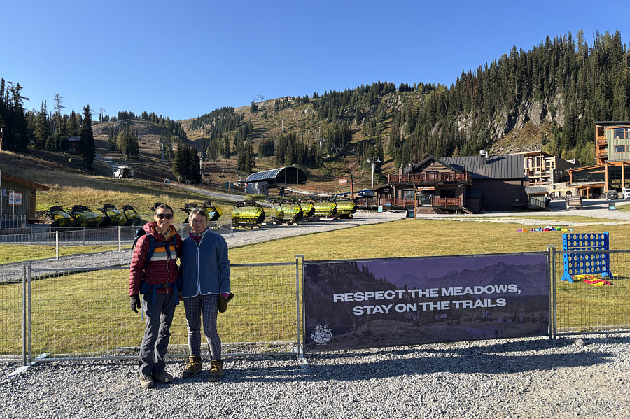
Zosia and Teresa arrive at Sunshine Village. Behind them is Standish Hump. |
|
|
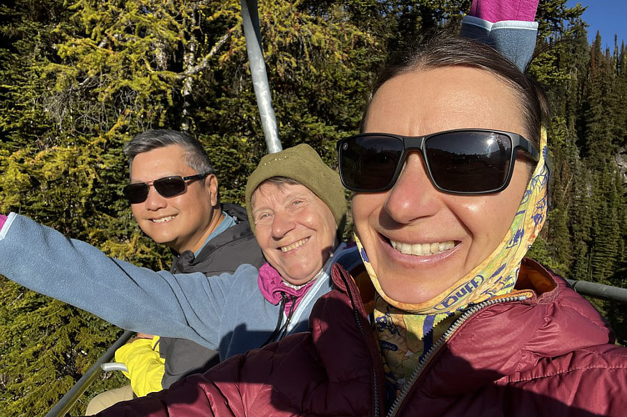
Sonny, Teresa and Zosia ride the chairlift going up Standish Hump. Photo courtesy of Zosia Zgolak |
|
|
Sonny and
Teresa stand beside the Alberta-British Columbia boundary marker at
the top of
Standish Hump (2390 metres). Photo courtesy of Zosia Zgolak |
|
|
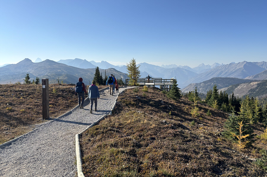
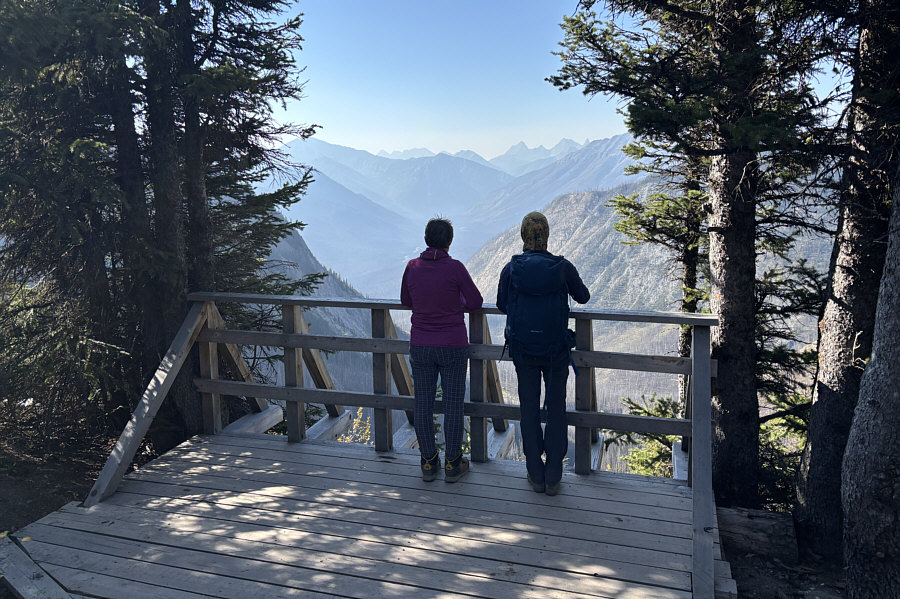
From the top of Standish Hump, a short gravel pathway heads southward to an observation deck. |
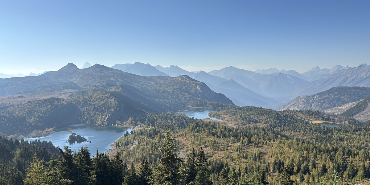
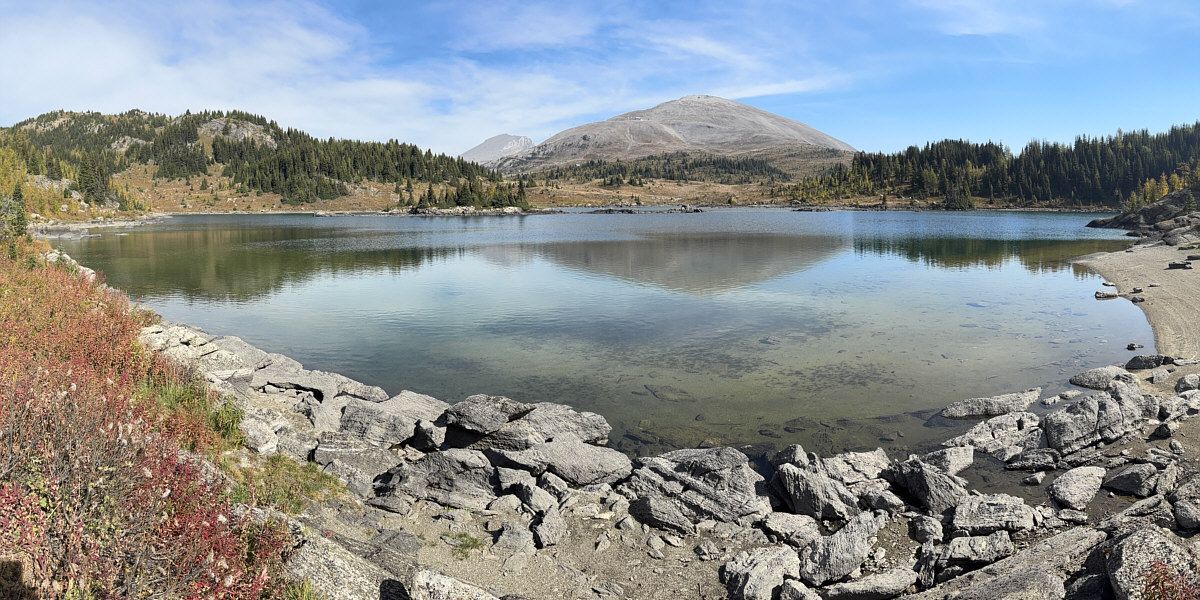
The observation deck grants a comprehensive view of Rock Isle Lake (left), Larix Lake (centre), and Grizzly Lake (far right).
 |
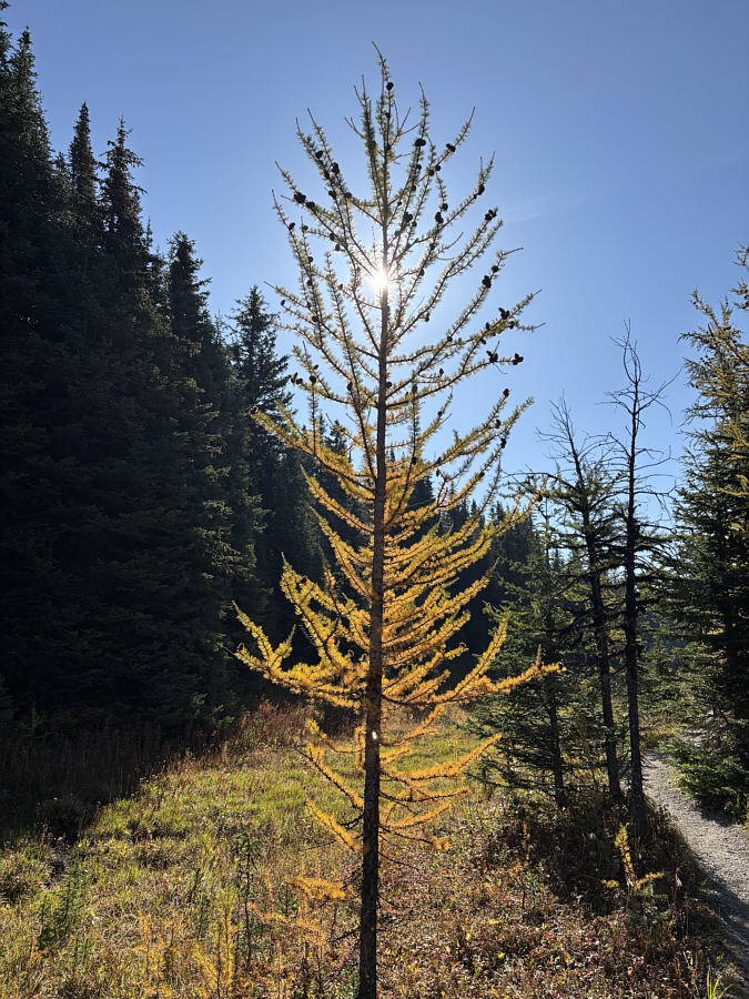
Larches here are starting to change colour. |
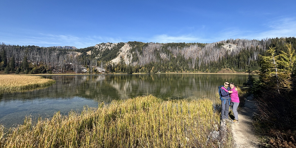
Zosia and Teresa embrace on the trail beside Grizzly Lake.
 |
There is nothing like seeing larch trees on a bright sunny day. |
 |
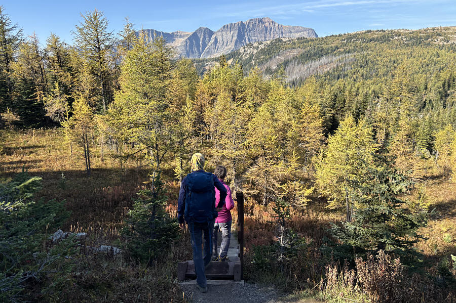
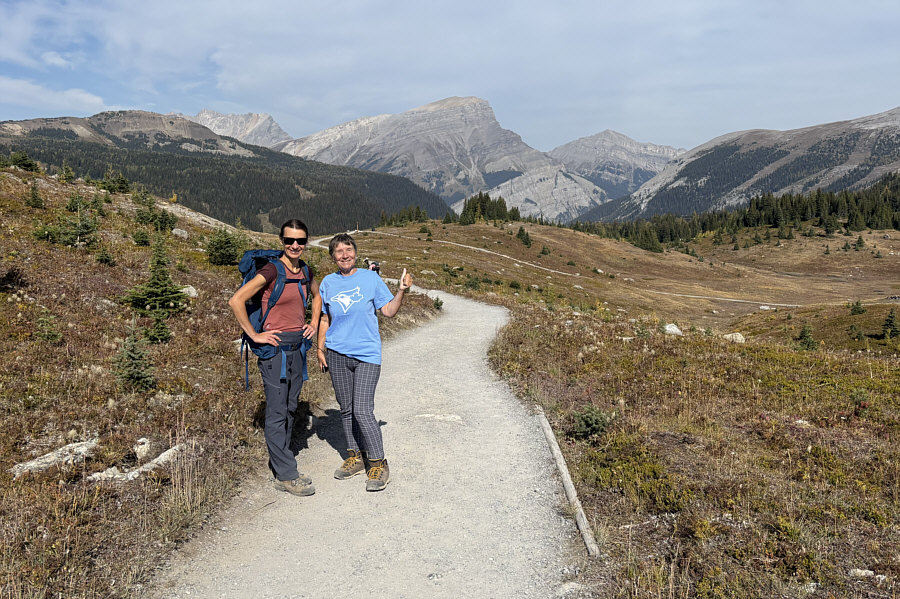
Teresa and Zosia arrive at Simpson Viewpoint. |
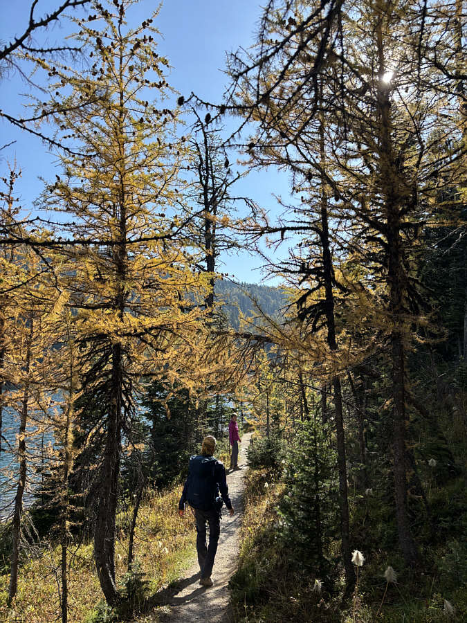 |
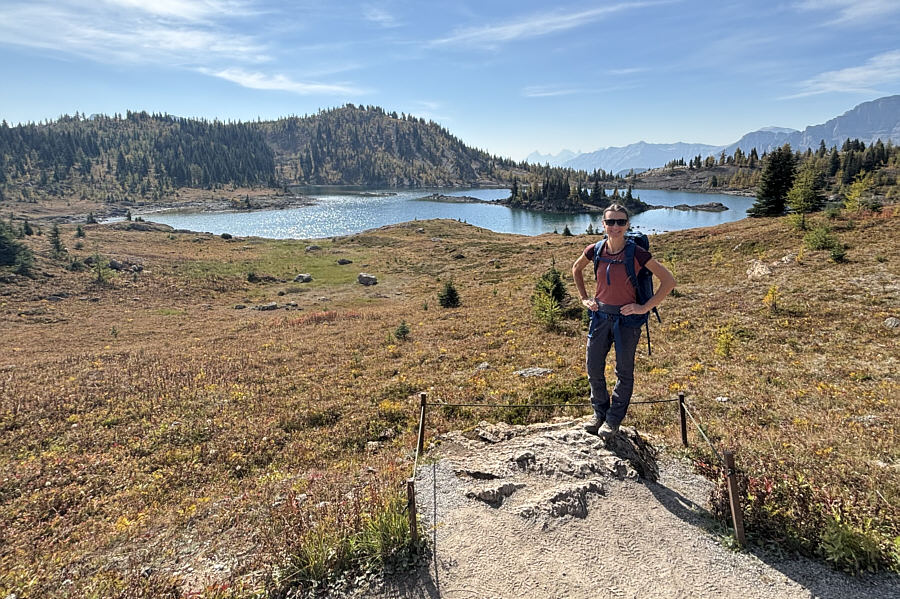
Zosia and Teresa hike under more golden larches near Larix Lake. "Larix" is actually the genus name for larch trees. |
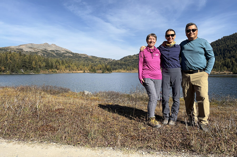 |
Teresa, Zosia and Sonny pose together at the south end of Larix Lake. At distant left is Twin Cairns. |
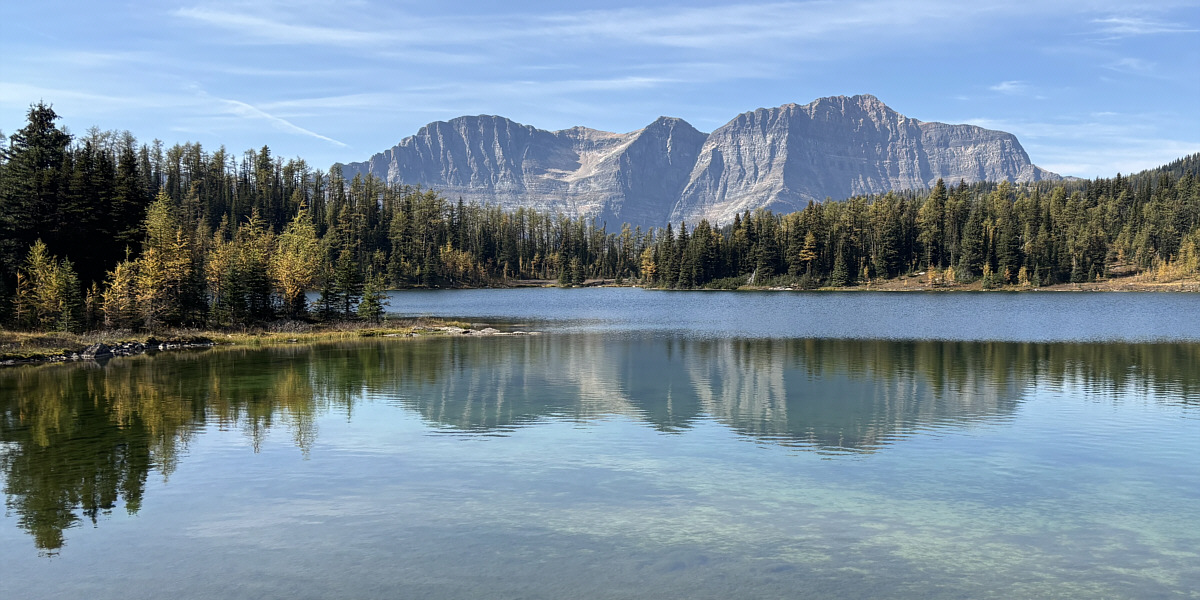
The Monarch is reflected in Larix Lake.
Standish Hump, Eagle (Goat's Eye) Mountain and Brewster Rock are all reflected in Rock Isle Lake.
 |
For some reason, the park authorities felt the need to fence off this trailside rock outcrop overlooking Rock Isle Lake. |
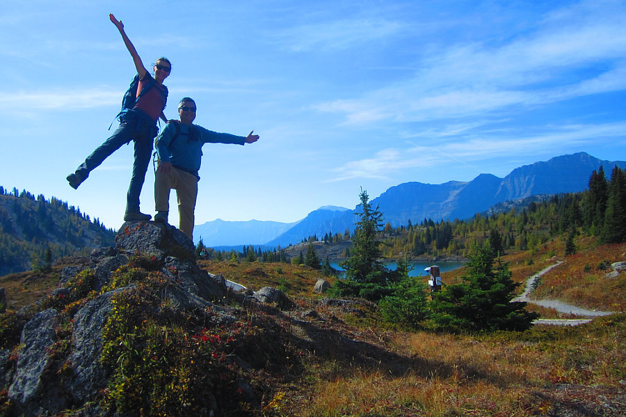 |
Oddly enough, this rock
outcrop--unofficially named "World At Your Feet" (2264
metres)--is not fenced. Photo courtesy of Teresa Kosmala |
 |
Zosia and Teresa return to Sunshine Village via a wide gravel pathway. Visible behind them are Wawa Ridge (left) and Mount Bourgeau (centre). |
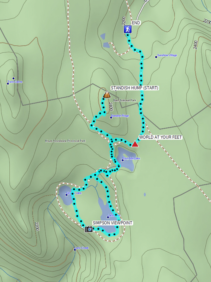 |
Total Distance: 7.7 kilometres Round-Trip Time: 3 hours 45 minutes Cumulative Elevation Gain: 122 metres |