BOU AVENUE
Mount Rose Swanson Trails
Given a rainy weather forecast for 9 July
2025, Zosia Zgolak and I hiked some of the Mount Rose Swanson trails located west of Armstrong, British Columbia. Maintained by
the Armstrong Spallumcheen
Trails Society,
this network of trails cover the northern and eastern parts of a mostly
forested hump situated within a rough triangle bounded by Salmon River
Road and Highways 97 and 97A. Though largely frequented by locals,
the trails have attracted the attention of notable peak-baggers like
Steven Song,
Brandon Boulier and
Bob Spirko
primarily because of the presence of two officially-named summits--Mount
Rose and Mount Swanson. As discussed extensively in Song's trip report,
the precise locations of the summits are rather ambiguous and can change
depending on the particular topographic map used or what is considered
"locally-accepted". The discrepancies are enough to drive die-hard
peak-baggers crazy, and maybe it is better to simply enjoy the trails as
they are instead of trying to sort out the confusing mess of summit
locations. For what it is worth, the actual highest point
of the entire massif appears be located on a hill shown as
a 1057-metre benchmark on the BC Basemap, as a 1058-metre benchmark on
both the Canada Toporama map and Garmin MapSource map, and as an embedded pin labelled
"Mount Swanson" on Google Maps (50.45777, -119.29807).
Drive paved Salmon River Road either from
the east or the west to the junction with Hallam Road (50.48616,
-119.25095). Drive south on Hallam Road for 1.6 kilometres to a
junction with Chamberlaine Road. Continue straight (south) on
Chamberlaine Road (2WD gravel) for 900 metres where it makes a 90-degree
turn to the right (west). Drive another 900 metres and keep left at
a split. Drive 350 metres more and turn left into the signed
trailhead parking lot.
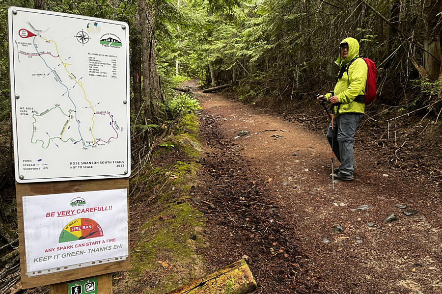
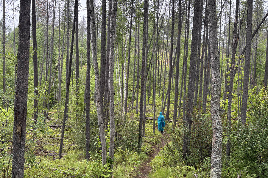
To be honest, I was not particularly
enthusiastic about hiking in the rain, but Zosia and I donned our rain
gear and started hiking anyway. Signage is excellent throughout the
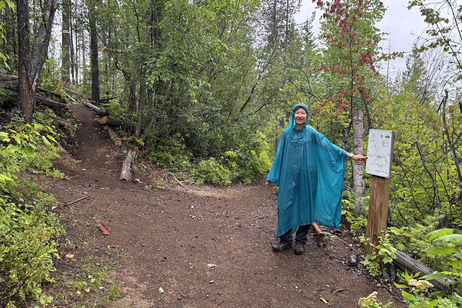
trail network with convenient maps located at most important junctions.
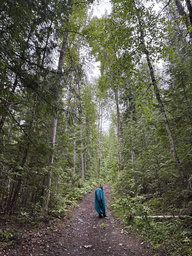
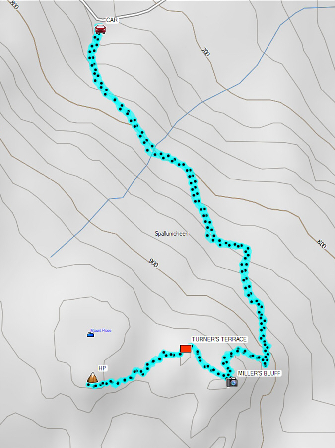
We hiked "Centennial" trail for about 1.9 kilometres before turning right
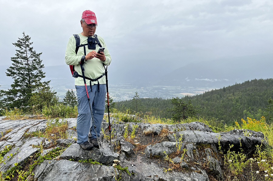
onto "Jackpine" trail. This led us shortly to a high point with a
sign reading "Miller's Bluff". This high point is marked as the
summit of Mount Rose on the BC Basemap and ArcGIS-World Topo map, and
confusingly, it is also what Song refers to as the "locally-accepted"
summit of Mount Swanson. It is kind of cool that we bagged two
different summits at the same time! Seriously...just kidding.
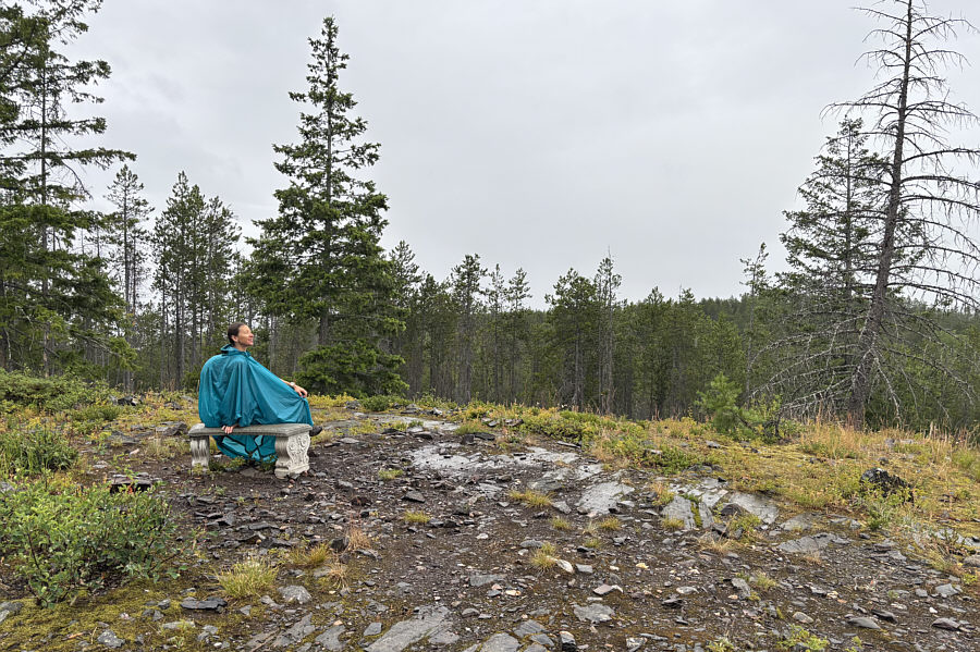
From Miller's Bluff, we continued following Jackpine trail and dropped
into a dip before climbing over another high point with a stone bench and
sign reading "Turner's Terrace". This is one of the rare high
points in the area that is NEITHER a gazetted NOR locally-accepted
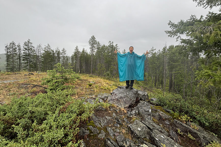
summit! We then pushed on to the next forested hump to the west
where the gazetted summit of Mount Rose is located, but by the time we
arrived at the trail crest, the rain had intensified enough to dissuade
us from bushwhacking to find a viewless summit. As such, we simply
turned around and retraced our steps over Turner's Terrace and Miller's
Bluff before descending the same trails back to the trailhead.