BOU AVENUE
Sundial Butte
On 30 August 2025, Teresa Kosmala, Zosia
Zgolak and I hiked up officially-named Sundial Butte located approximately 48 kilometres
north of Lethbridge, Alberta. Undoubtedly, the name is associated
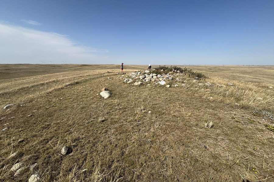
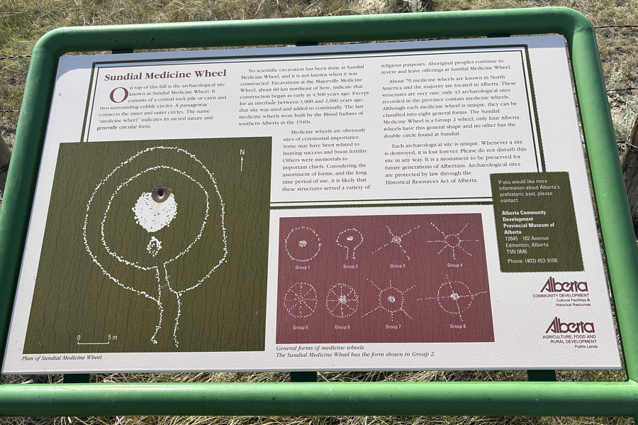
with the Sundial Medicine Wheel--a circular arrangement of rocks with
cultural importance to First Nations people--which is situated on a hill
amidst rolling grassland. According to info from the
Alberta Geographical Names Web Map (AGNWM), the name "Sun Dial Hill"
was previously used on a 1884 Geological Survey of Canada map, but by
1923, it had changed to the present name, Sundial Butte. Oddly enough, the
Canadian Geographical Names Database (CGNDB) pinpoints the location
of Sundial Butte on a separate hill about 1.6 kilometres
northwest of the medicine wheel, and the AGNWM shows the same which is at
odds with its accompanying description. I suspect that, at some
point, there was either a clerical error entering the map coordinates or
else the location of the medicine wheel was approximated from smaller
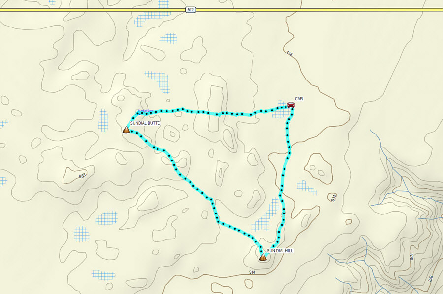
scale maps. In any case, we would try and tag both hills as part of
a loop, and for clarity, I will refer to the hill with the medicine wheel
by its original name, Sun Dial Hill, to distinguish it from the gazetted
Sundial Butte.
From
Highway 845, turn west onto Highway 522
(2WD gravel) 46.8 kilometres north of Coaldale or 24.0 kilometres south
of Lomond. Drive 6.6 kilometres and turn left (south) onto a
narrower road marked with a "Dead End" sign (high-clearance vehicle
recommended due to vegetation growing along the middle of the road).
Drive 800 metres and cross a Texas gate. Where the road begins to
bend eastward shortly after the Texas gate, turn right onto a rough
double-track. Either park here (50.12782, -112.73402), or drive
another 1.3 kilometres southward to an interpretive sign (50.11671,
-112.73580) at the base of Sun Dial Hill.
From our parking spot at the start of the
double-track, Teresa, Zosia and I headed west across rolling grassland
toward the gazetted location of Sundial Butte. Given the hot
weather and the lack of shade anywhere, we perhaps did not pick the best
time of day (mid-afternoon) to start our hike, but a bit of breeze helped
make the soaring temperatures somewhat bearable. Other than dodging
piles of cow dung, off-trail travel was easy, and after going over a
couple of low ridges, we arrived at the top of the unremarkable hill
designated as Sundial Butte by CGNDB. The precise coordinates
published by CGNDB do not even line up with the hill's actual high point
which probably confirms my suspicions about the location discrepancy.
In any case, we promptly turned to the southeast and made a beeline for
Sun Dial Hill. As before, off-trail travel was easy, and we even
found some cow trails to follow. A barbed-wire fence surrounds Sun
Dial Hill, and although there is an opening at the northeast corner
beside the interpretive sign, we were too lazy to walk around and simply
slipped through the fence for a more direct route up to the high point.
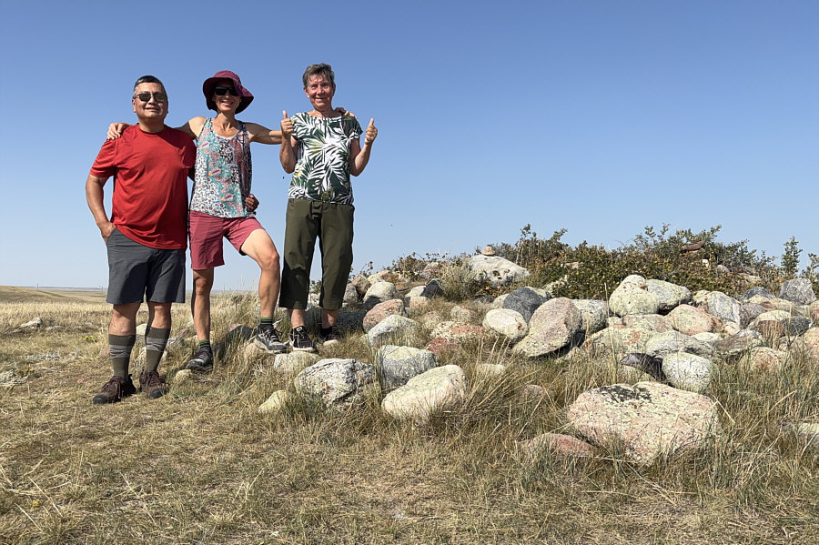
After snapping a group photo and poking through some of the artifacts
that people have left at the top of Sun Dial Hill over the years, Teresa,
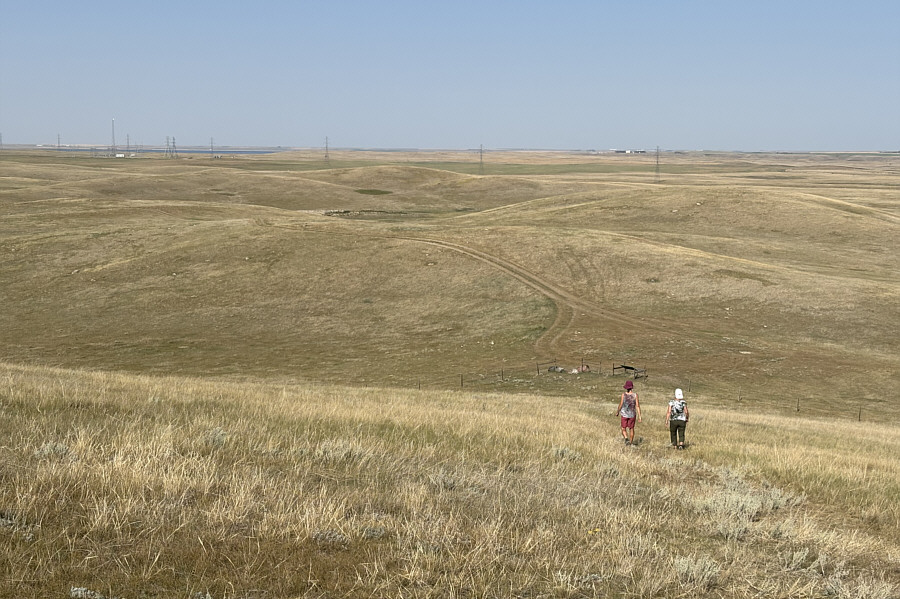
Zosia and I descended to the northeast to check out the interpretive
sign. When we had satisfied our curiosity about medicine wheels, we
easily followed the double-track northward back to our parked car to
complete our loop.
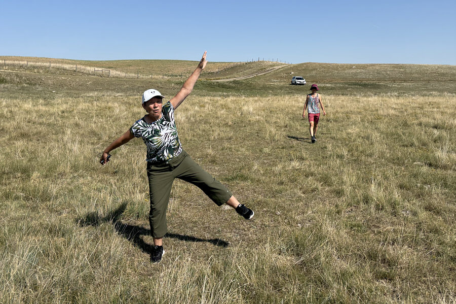 |
Teresa looks pumped about climbing
Sundial Butte with Zosia following behind her. |
 |
The sliver of water visible to the north is Little Bow Lake. |
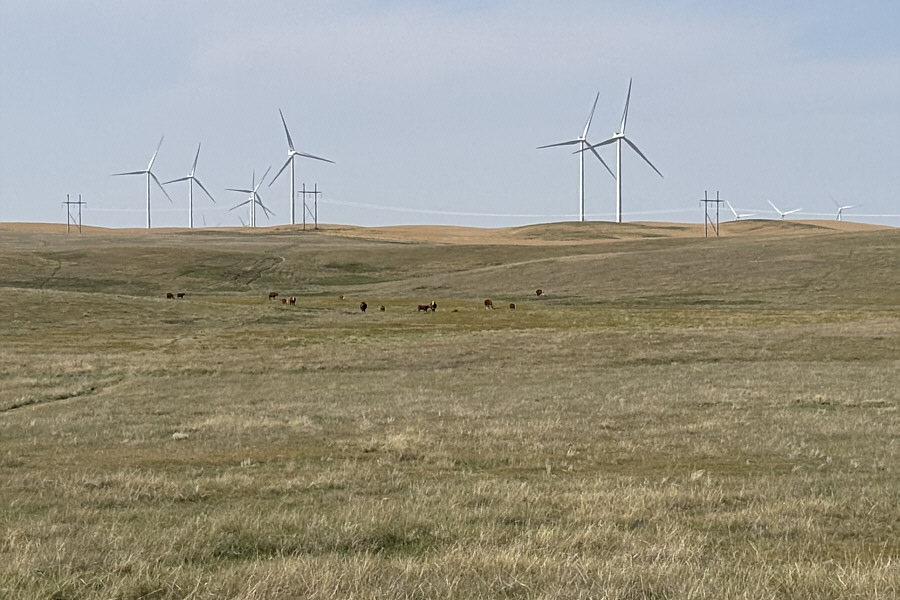 |
A herd of cattle graze in the distance
in front of some windmills. |
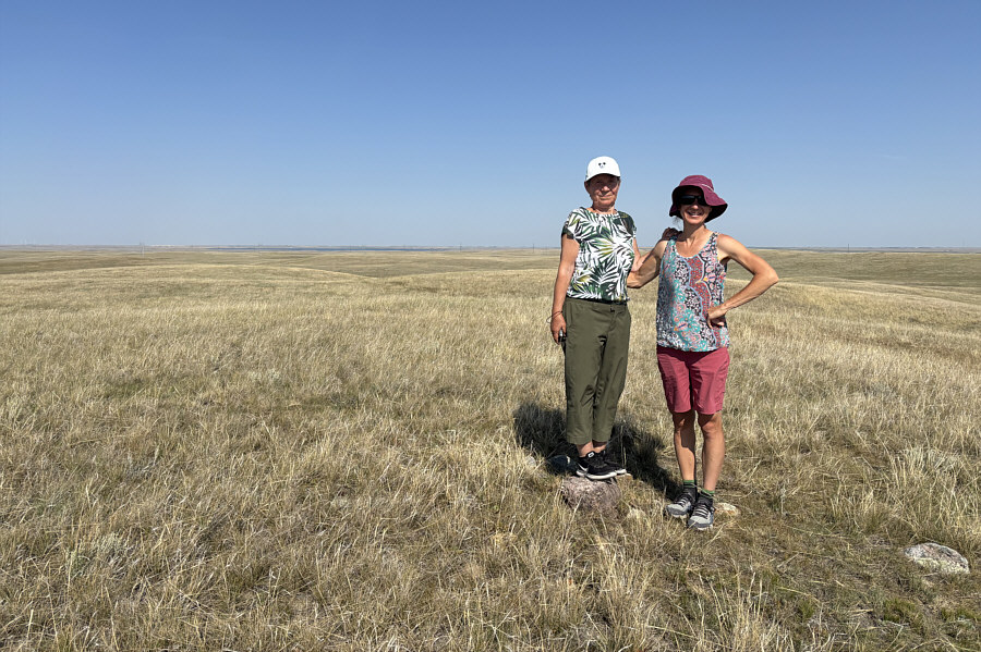 |
Teresa and Zosia stand on the high
point of Sundial Butte (951 metres). |
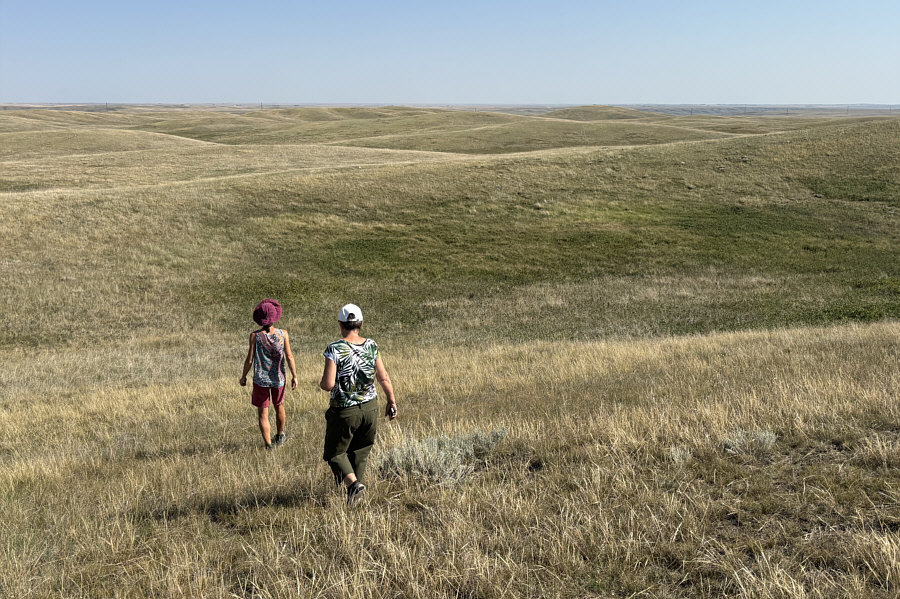 |
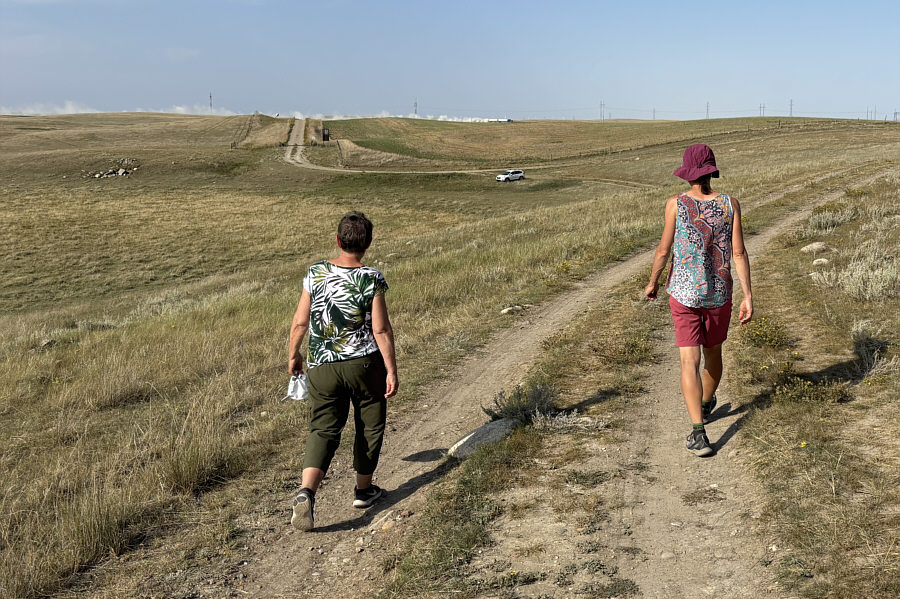
Zosia and Teresa head southeast toward
"Sun Dial Hill" which is barely discernible on the right horizon. |
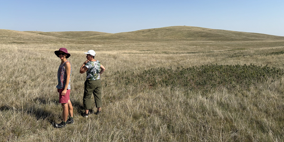
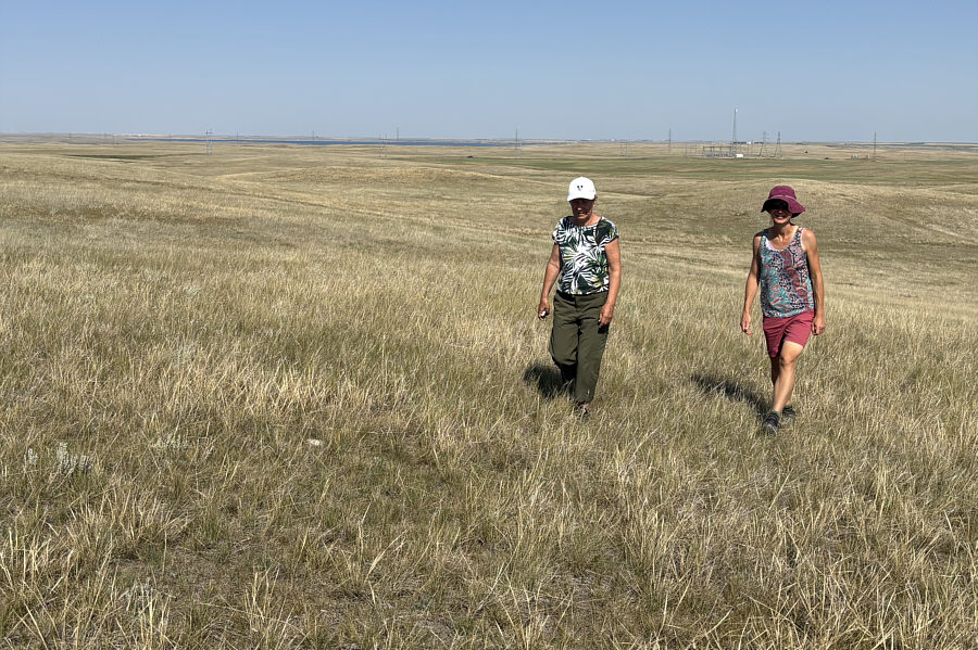
Sun Dial Hill becomes more distinct as Zosia and Teresa
get closer.