BOU AVENUE
Unnamed Border Peak

Taking advantage of a bluebird day on 5 April 2025, Zosia Zgolak and I headed to the Icefields Parkway in Alberta's Banff National Park to ski in the vicinity of Bow Lake.  Zosia was interested in ascending unofficially-named Crystal Ridge, but as it turned out, we would ski up a higher bump further north along the same ridge which connects to Cirque Peak.  This bump is described in the guidebook Confessions of a Ski Bum: Icefields Parkway by Marcus Baranow who attributes a rather blasé name, "Unnamed Border Peak".  The avalanche hazard was rated "Considerable" on this day, and we were prepared to cut short our ski tour if we felt snow conditions were unsafe.

Starting from the Bow Lake parking lot (51.68192, -116.46216), Zosia and I carefully crossed to the east side of Highway 93 before strapping on our skis.  We briefly skied southward on the snow bank beside the highway before turning off onto a skin track heading into the forest.  The crusty snow was very supportive, and while we made good upward progress through the trees, I was cognizant of how tricky it would be to ski back down the same way.  Closer to tree line, there were a couple of short but steep sections that warranted the use of ski crampons, and while Zosia happily took the time to put hers on, I was too lazy to bother and applied the less-efficient technique of side-stepping with my ski edges.  Once we broke out of the forest, the snow quality dramatically improved, and we continued to follow the skin track all the way to a high col separating our objective from the main mass of Cirque Peak.  Just before the high col, there is a gully feature which is a potential terrain trap, and although we had some concerns skiing through here, the snow pack was surprisingly stable with no evidence of instability whatsoever.  At the high col, the skin track we were following headed left toward Cirque Peak, but we instead turned right to climb up a relatively easy open slope to the top of Unnamed Border Peak.

Although there are a variety of route options for descending Unnamed Border Peak, Zosia and I elected to keep it simple and return the same way we came up.  The ski back down to the high col and out the gully was very nice, and we easily cruised back to tree line with no difficulties.  Getting down to the highway through the forest was a different matter though.  Had I paid better attention to Baranow's description of this area, we might have considered traversing further north where apparently there is better skiing.  Instead, we resorted to survival skiing to descend through thick forest, and to make matters worse, the warm temperatures were causing snow to constantly ball up under our skis, effectively killing our glide.  A couple of awkward spills into deep tree wells only added to my growing frustration, and there was much groaning and cursing on my part throughout the descent.  After what seemed like an eternity (actually, well over an hour) of exhausting downhill travel, we finally found our glide again near the bottom and ultimately popped out onto the highway a short distance from the parking lot.
We should have headed in the opposite direction! 
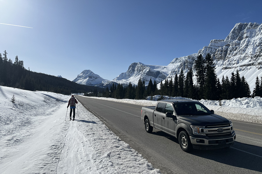
Zosia skis alongside the highway looking for an old skin track heading into the trees at far left.
We probably should have returned the same way... 
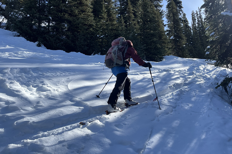
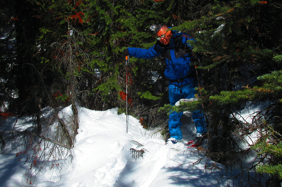
Except for a couple of short but steep icy sections, the ascent through the forest is mostly straightforward.
Most likely, I will never ski up Mount Thompson... 
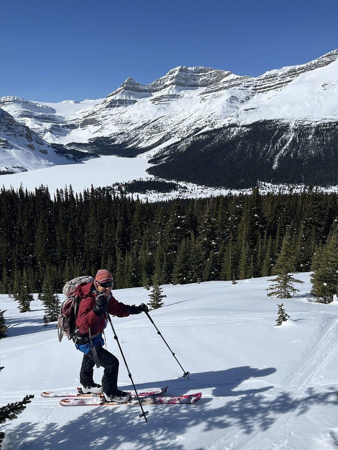
Zosia is granted views of Bow Lake and Mount Thompson as the forest begins to thin out near tree line.
These lightly-treed slopes would've been perfect for yo-yoing on this day! 
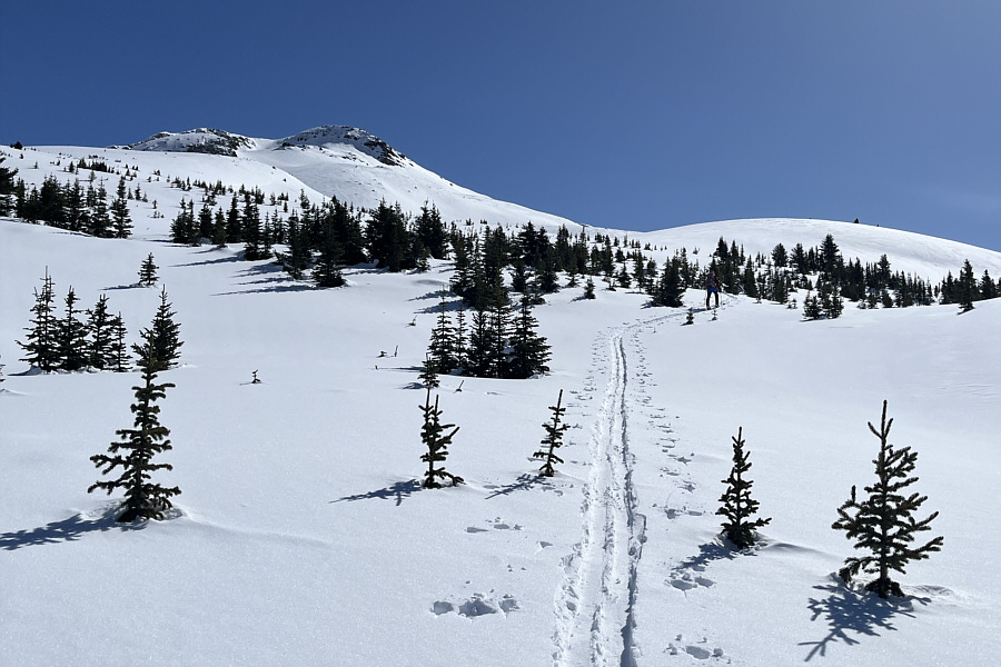
Unnamed Border Peak comes into view at left.
Scare! 
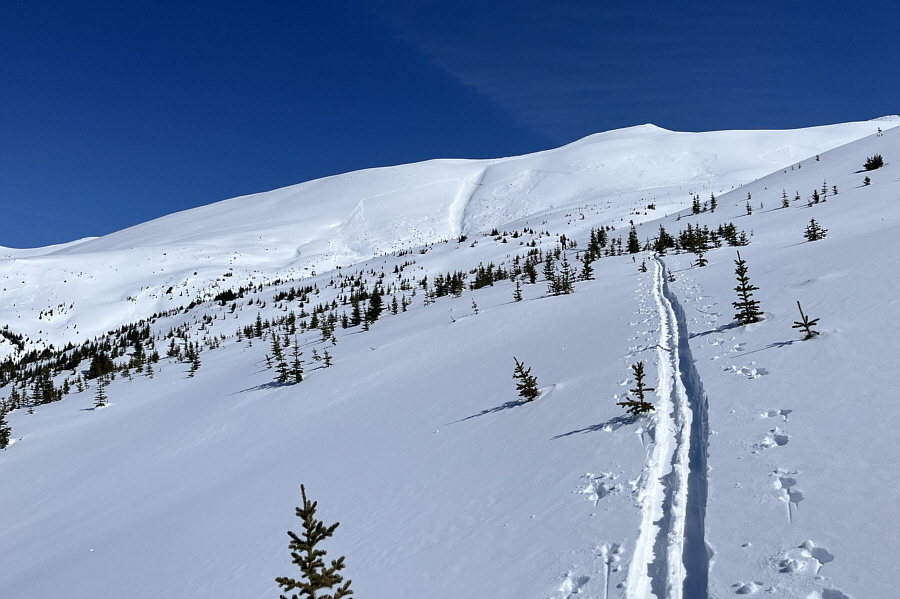
Evidence of huge avalanches can be seen on the slopes of Cirque Forepeak.
The snowpack felt pretty stable on this day, though. 
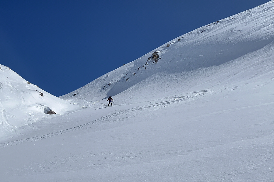
The skin track runs up a gully feature with some potential avalanche hazard.
Simply amazing scenery! Sonny approaches what appears to be a snow-covered rock at the entrance to the gully.

Photo courtesy of Zosia Zgolak

And you can see Crystal Ridge just to the immediate left of Zosia. 
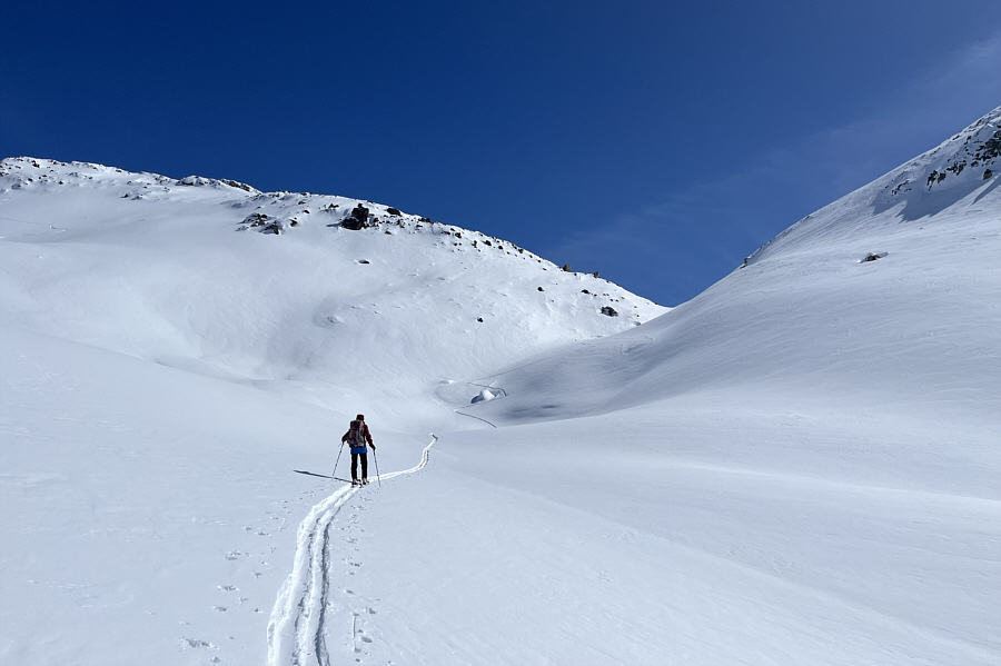
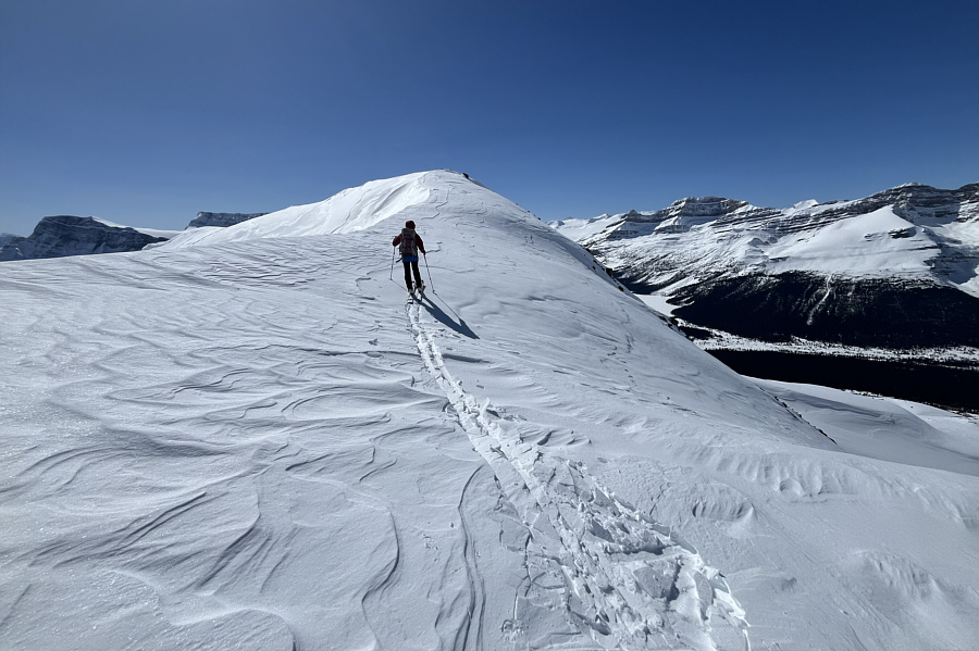
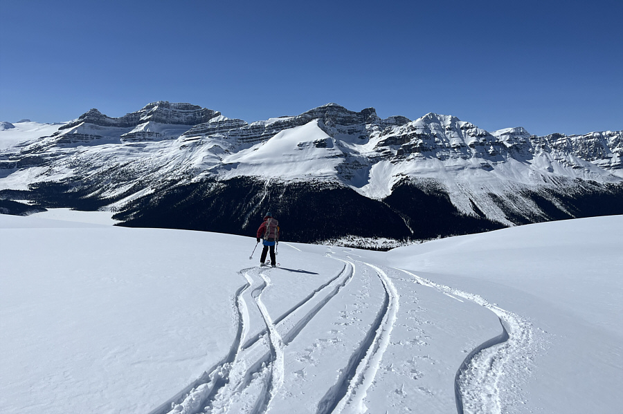
Zosia reaches a high col with views of Dolomite Peak (left of centre) and Mount Hector (right of centre).
Thank you for breaking trail, Zosia! 
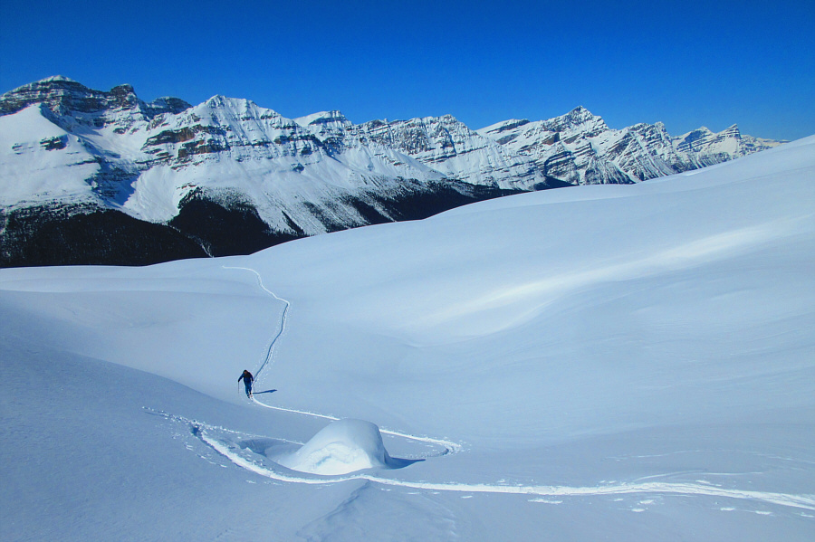
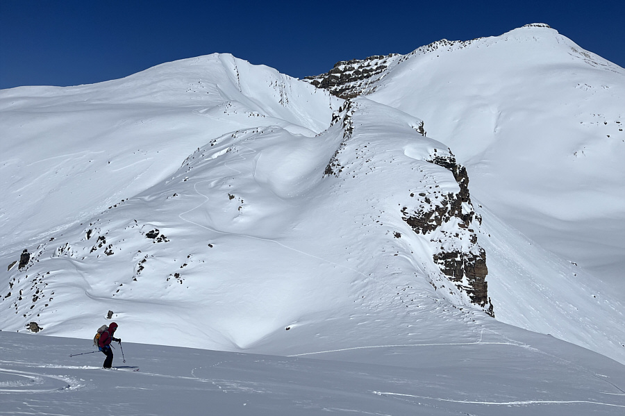
From the high col, the remainder of the ascent route goes up this easy open slope.
Almost there! 
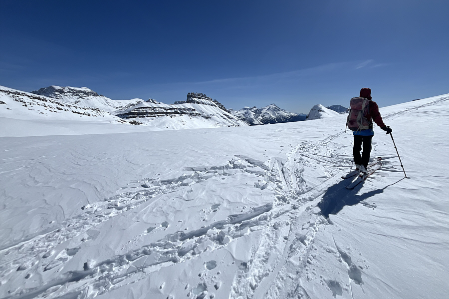
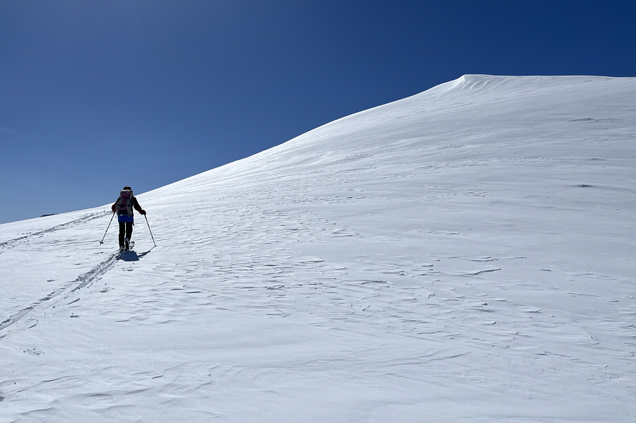
Zosia approaches the high point of Unnamed Border Peak.

Piękna!

Behind Zosia are Cirque Forepeak (centre) and Cirque Peak (right).


Would have been a glorious day to be on the Wapta Icefield! 
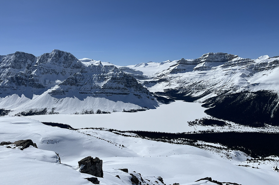
The most captivating sight to the southwest is Bow Lake.

Some of these mountains are calling my name...

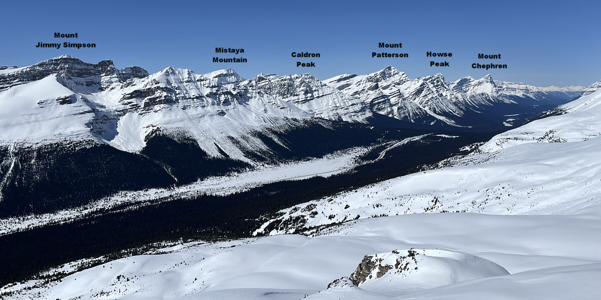
The mountains across the valley look brilliant on this day.


I look like a midget beside Zosia! 
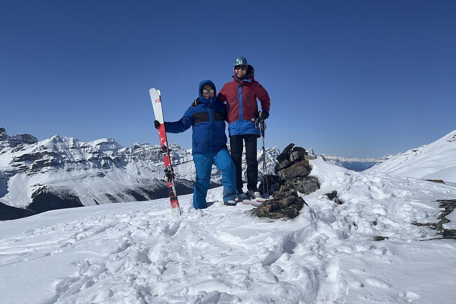
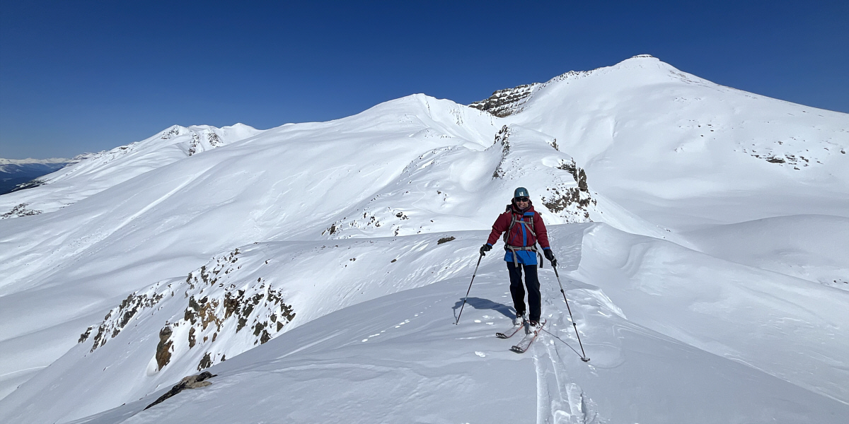
Sonny and Zosia pose on the high point of Unnamed Border Peak (2619 metres).
Hopefully we can ski up Cirque Forepeak someday... Zosia skis back down to the high col.

Woo hoo!

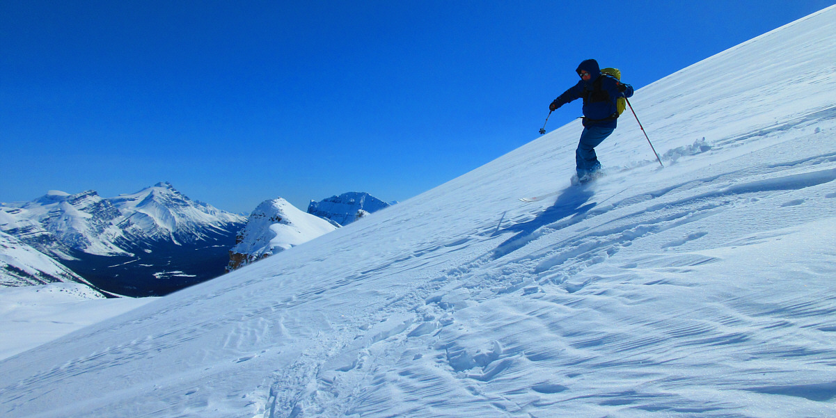
Despite some wind-blown crust, the ski from the high point down to the high col is not bad.

Photo courtesy of Zosia Zgolak


Not a place to linger when avi hazard is high! Zosia emerges from the gully below the high col.
Amazing skiing! Back on safer terrain, Zosia confidently cruises downhill amidst splendid scenery.
F**cking worst ski descent, ever! Sonny's face says it all regarding his horrible descent through the forest.

Photo courtesy of Zosia Zgolak

Need to figure out a better descent route through the trees! 
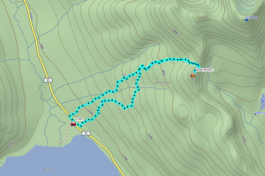
Total Distance:  8.1 kilometres
Round-Trip Time:  6 hours 37 minutes
Cumulative Elevation Gain:  658 metres

GPX Data