 |
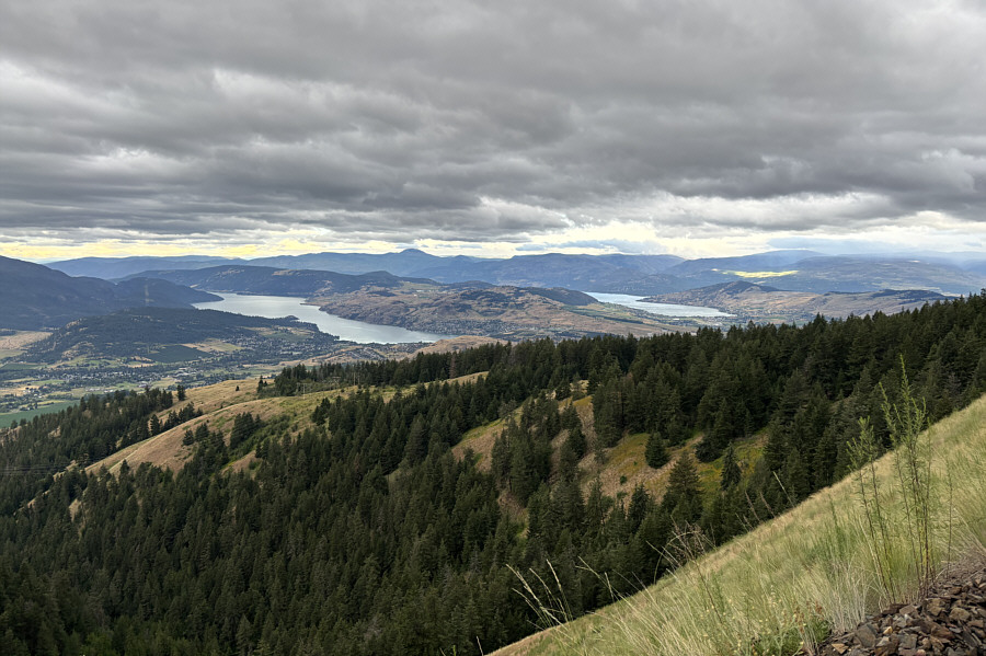
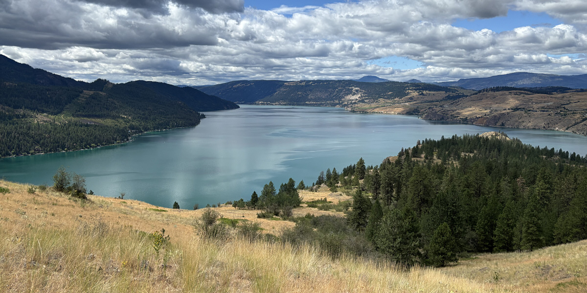
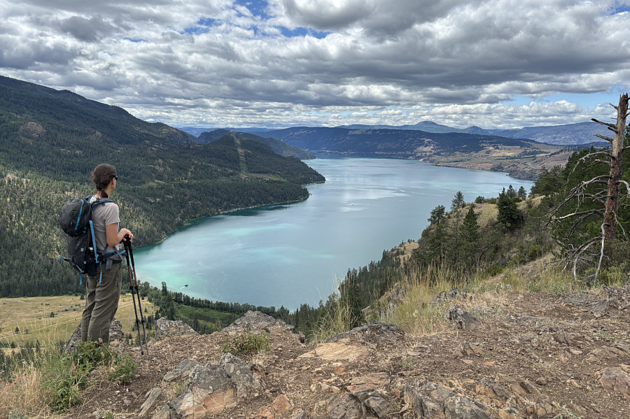
Here is a view of Kalamalka Lake (left) and Okanagan Lake (right) from the forest service road on Vernon Hill. |
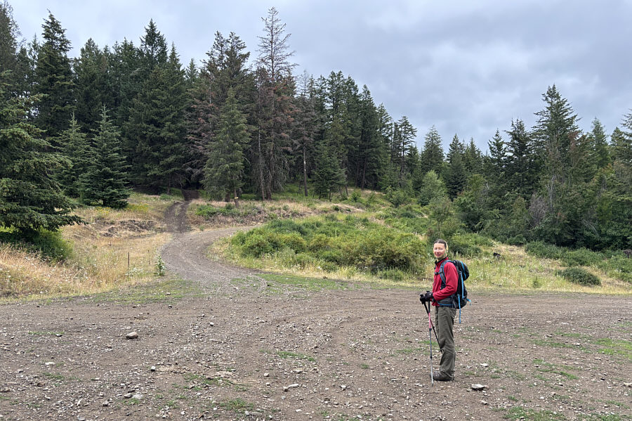 |
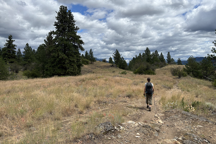
Zosia begins hiking up the access road to Vernon Hill from a 4-way junction. |
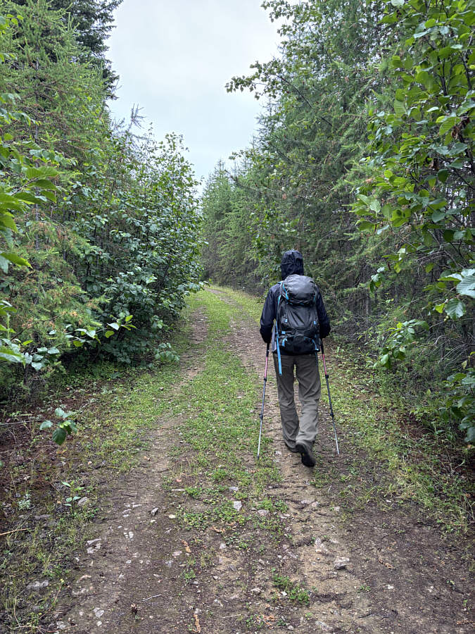 |
The access road is very easy to walk. |
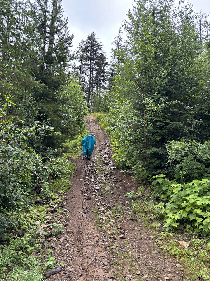 |
Near the top, the road becomes steeper and rougher. |
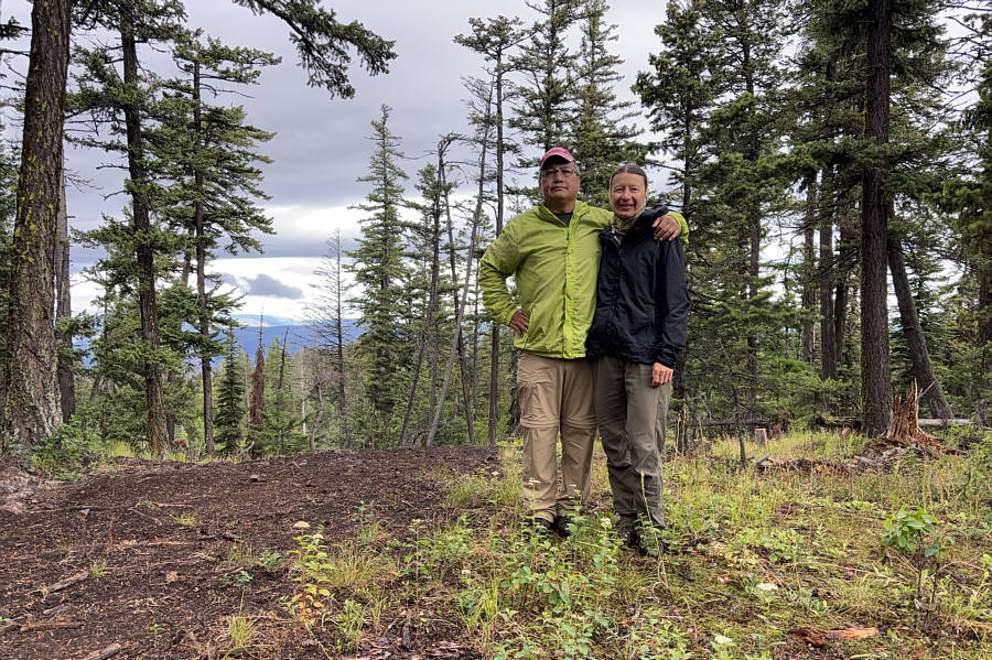 |
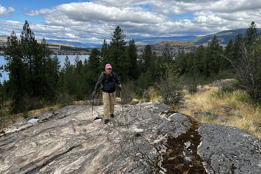
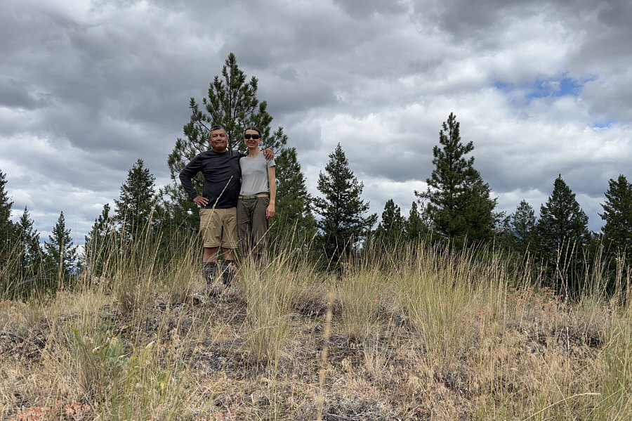
Sonny and Zosia stand on the high point of Vernon Hill (1383 metres). |
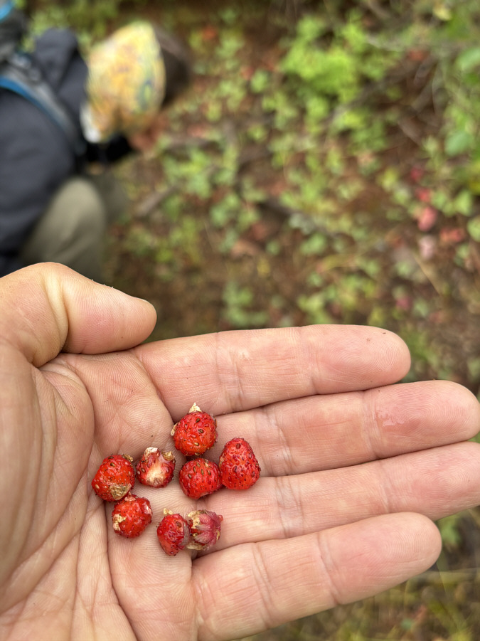 |
On this day, wild strawberries can be found along the access road. |
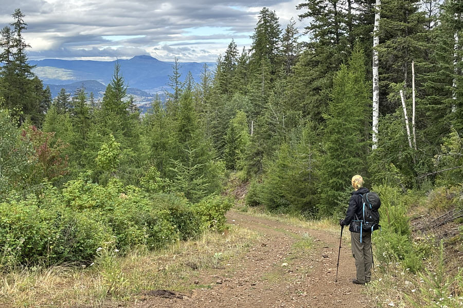 |
Zosia gets a glimpse of Terrace Mountain in the distance as she descends the road. |
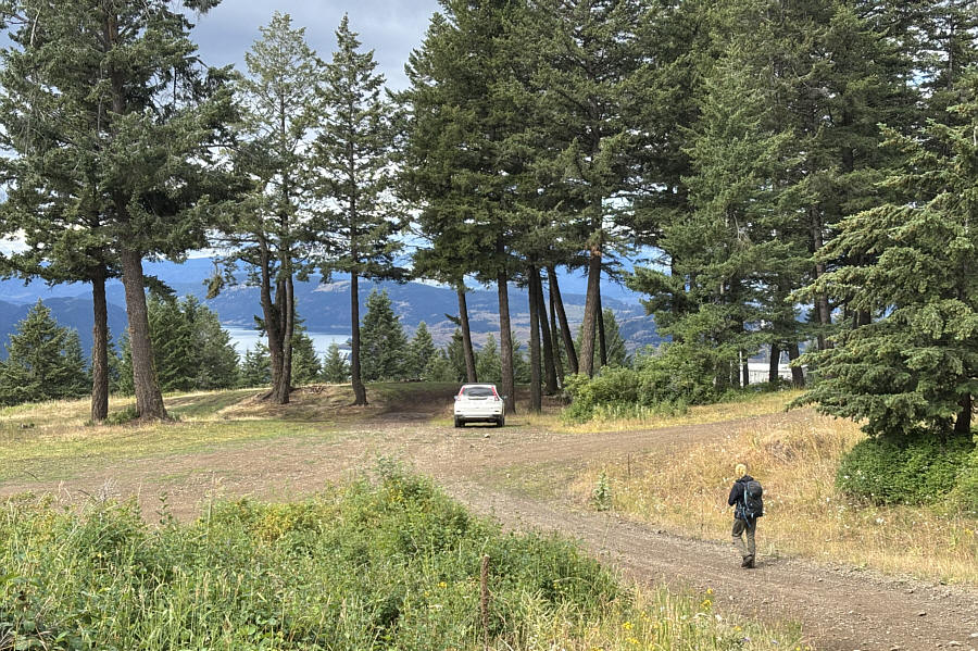 |
Zosia returns to the 4-way junction which is ironically more scenic than the high point of Vernon Hill. |
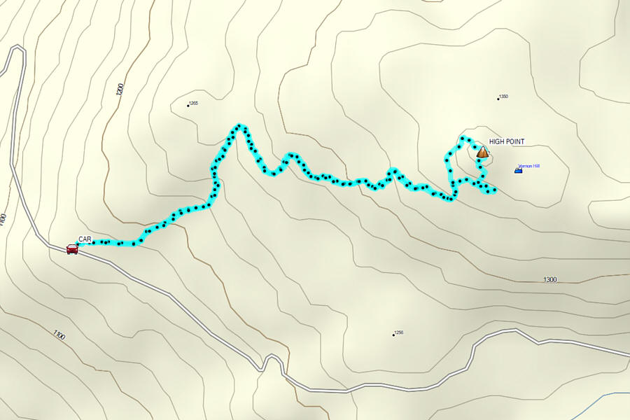 |
Total Distance: 4.8 kilometres Round-Trip Time: 1 hour 36 minutes Cumulative Elevation Gain: 208 metres |
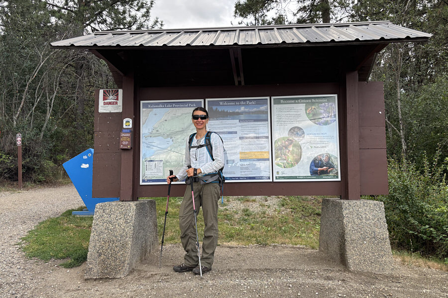
Deviating a bit from the AllTrails route, Zosia and I started our hike from the "Red Gate" trailhead (vault toilet available) located along Kidston Road (50.21134, -119.27076). This is a very busy trailhead, but we did not have any trouble finding a parking spot. For the loop, we opted to go in a counter-clockwise direction which entailed hiking the following named trails: "Corral Trail", "Little Moab", "Lookout Trail", "The Wall", "The Parabola", and "Comin' Round the Mountain". All important junctions are signed, and we had no trouble navigating the trail network. The loop was fairly busy with both hikers and mountain bikers, but we never felt like it was overcrowded. To tag the high point of Rattlesnake Hill, we had to venture off-trail a little, but the grassy terrain here is not difficult. The numerous viewpoints scattered throughout the loop did not disappoint and more than made up for the lack of scenery on Vernon Hill earlier in the day.
When we finished the loop hike, Zosia and I drove to a nearby municipal park for an early supper before heading elsewhere to camp for the night.
 |
Zosia begins her hike up "Rattlesnake Hill" from the trailhead known as "Red Gate". |
 |
Sonny ascends "Little Moab". Photo courtesy of Zosia Zgolak |
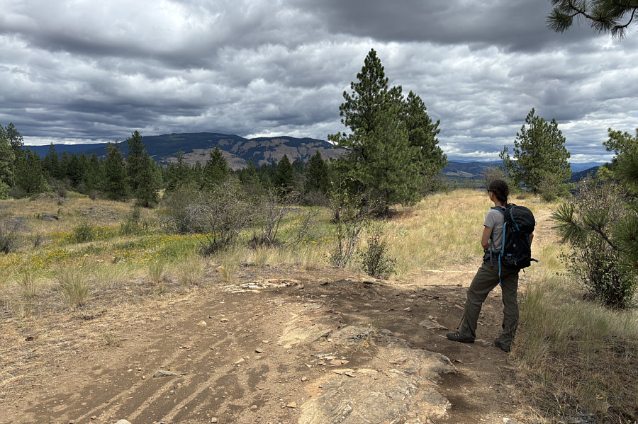
Open slopes along the western half of "Lookout Trail" grant superb views of Cosens Bay which is part of Kalamalka Lake. The end of the peninsula at far right is known as "Rattlesnake Point".
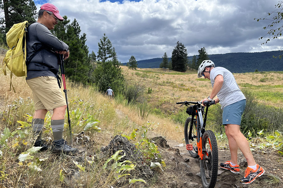 |
Sonny is amused that this cyclist
appears to be having a hard time pushing her electric mountain bike
up the trail. Photo courtesy of Zosia Zgolak |
 |
The high point of Rattlesnake Hill is on the grassy mound just left of centre. |
 |
Sonny and Zosia stand on the high point of Rattlesnake Hill (717 metres). |
 |
Zosia takes a last look at Cosens Bay from this perch not far from the high point of Rattlesnake Hill. |
 |
Zosia gets a glimpse of Vernon Hill in the distance to the northeast. |
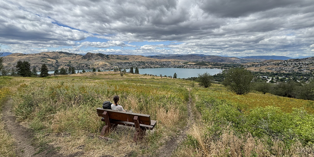
This bench along "The Parabola" is a nice spot to relax and enjoy views of the north end of Kalamalka Lake.
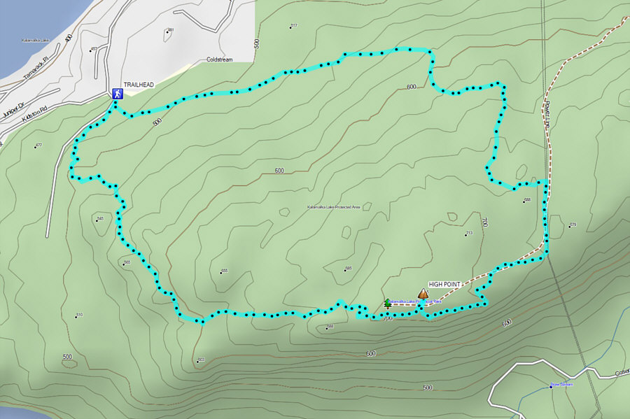 |
Total Distance: 6.2 kilometres Round-Trip Time: 2 hours 53 minutes Cumulative Elevation Gain: 237 metres |