 |
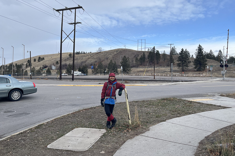
Zosia stands at the corner of Madison Street and Spruce Street in Missoula with Waterworks Hill behind her. |
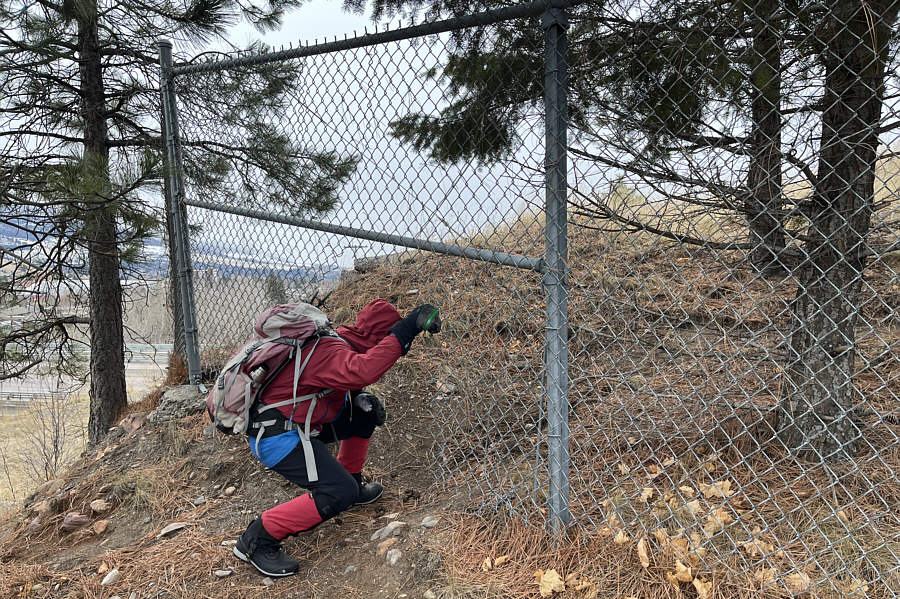 |
Zosia squeezes through a hole in the fence near the very south end of Waterworks Hill. |
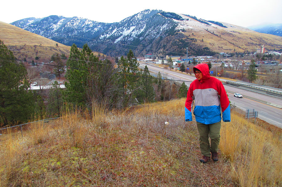 |
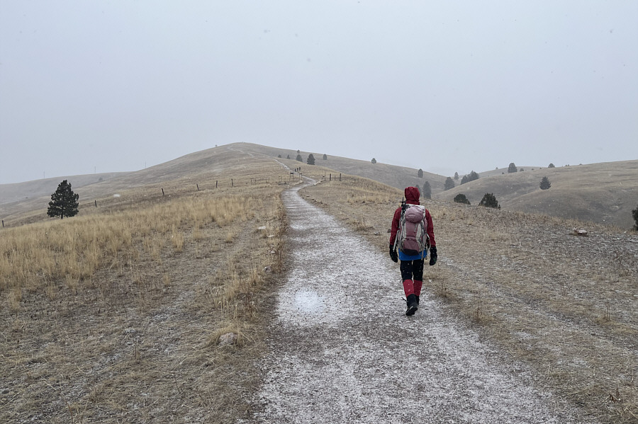
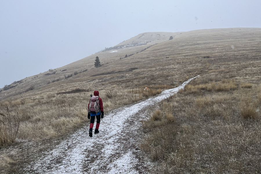
Sonny walks up the south end of
Waterworks Hill. In the background are
University Mountain (far left) and
Mount Sentinel
(centre). Photo courtesy of Zosia Zgolak |
 |
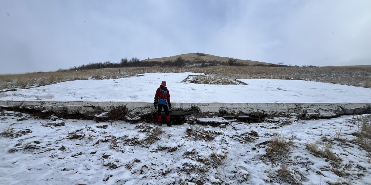
The gazetted high point of officially-named Waterworks Hill is occupied by this dome which is a large water holding tank used by the city. Public access to the dome is understandably prohibited. |
 |
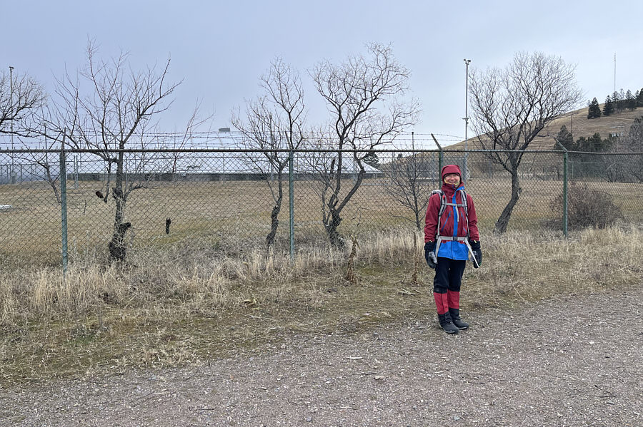
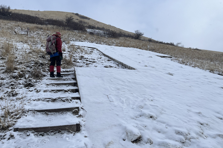
Zosia heads for the true high point of Waterworks Hill. |
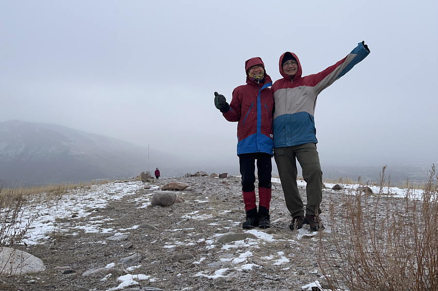 |
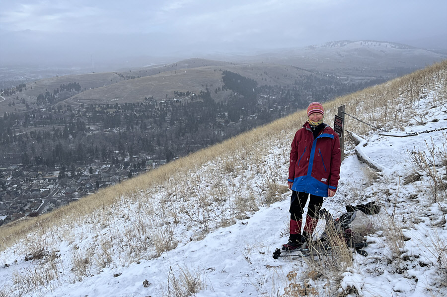
Zosia and Sonny stand on the true high point of Waterworks Hill (1175 metres). |
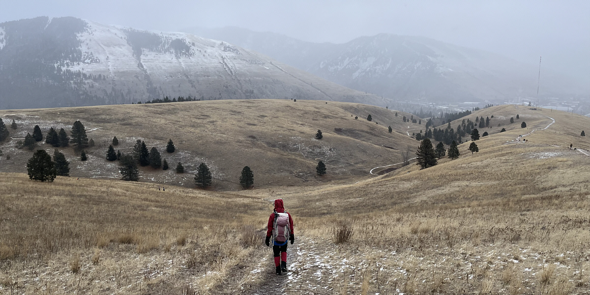
Zosia takes an alternate descent route through the coulee at right. The L on Mount Jumbo is visible in the distance at centre.
Finishing our hike up Waterworks Hill, Zosia and I next walked about
seven blocks eastward to one of several trailheads at the foot of Mount
Jumbo. Mount Jumbo is a critical winter habitat for elk, and
consequently, most of the mountain is off-limits to the public between
December and March each year. An exception to the annual closure is
the big L partway up the southwest slopes. The L represents Loyola
Sacred Heart Catholic High School which is located along Edith Street in
the city. Much like the ascent of Waterworks Hill, we had little
difficulty hiking up to the L on a well-defined trail. Having
already climbed to the big "M" across the valley when we ascended Mount Sentinel
last summer, I amusingly considered where I might be able to hike up
the remaining 24 letters of the alphabet.
Forbidden from climbing higher beyond the L, Zosia and I
simply retreated down to trailhead and walked back to our hotel without
incident.
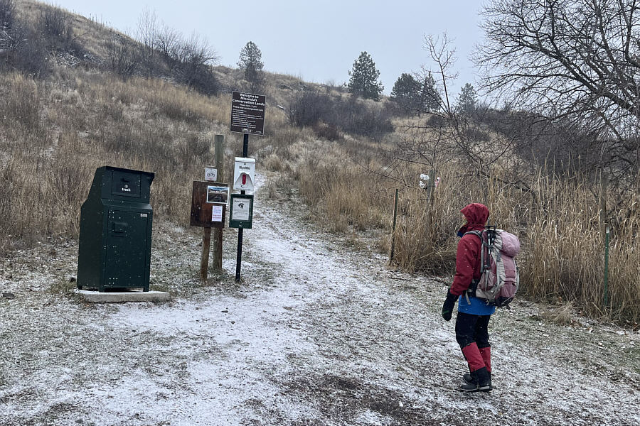 |
This trailhead for the L on Jumbo Mountain is located at the corner of Poplar Street and Polk Street. |
 |
The ascent to the L is shorter but steeper than the hike up Waterworks Hill. |
Zosia arrives at the L (1201 metres) which represents Loyola Sacred Heart Catholic High School in Missoula.
 |
It is possible to climb to the top of the L, but the trail beyond is closed seasonally to protect important elk habitat. |
 |
From the top of the L, Waterworks Hill (left of centre) can be seen across the valley. |
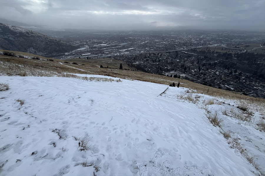 |
The city of Missoula is sprawled out below the L. |
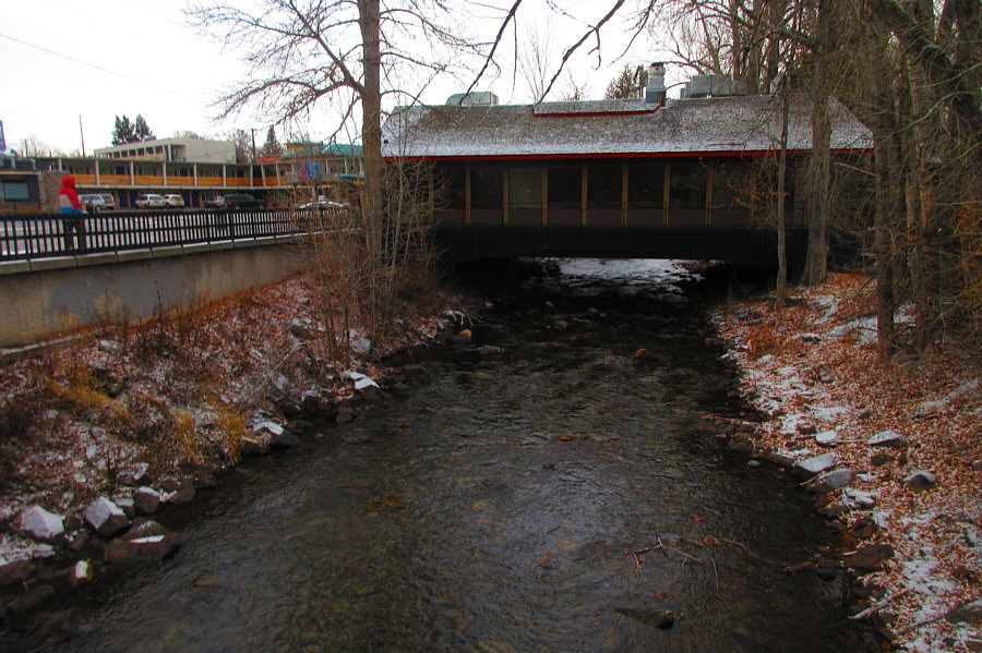 |
Near Sonny's hotel is an unusual 4B's
Restaurant which straddles Rattlesnake Creek. Photo courtesy of Zosia Zgolak |
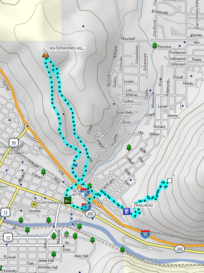 |
Total Distance: 9.9 kilometres Round-Trip Time: 3 hours 27 minutes Cumulative Elevation Gain: 381 metres |