On 9 November 2025, Zosia Zgolak and I
ascended Mount Wheeler located in Lac du Bois Grasslands Protected Area
northwest of Kamloops, British Columbia. This is a forested
mountain that probably only appeals to die-hard peak-baggers looking to
claim an officially-named summit. While the ascent is not
technically difficult, some route-finding and off-trail travel is
necessary to reach the true summit. I got the inspiration for this
trip from
Brandon Boulier who made an epic ascent from the south, but most
other reported ascents utilize a much shorter approach from the north
starting at the protected area's namesake lake. We would opt for
the shorter northern approach.
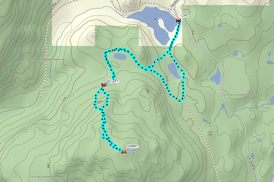
From the intersection with Grasslands Boulevard in northwest Kamloops,
drive westward along Batchelor Drive for 1.6 kilometres to a split and
keep left. Drive about 700 metres to a second split and veer right
onto Lac du Bois Road (the left branch leads to the Batchelor
Hill/Mitchell Hill trailhead in 350 metres). Drive 9.6 kilometres
and arrive at the gated start of Wheeler Mountain Road (jeep track) on
the left. Park here.
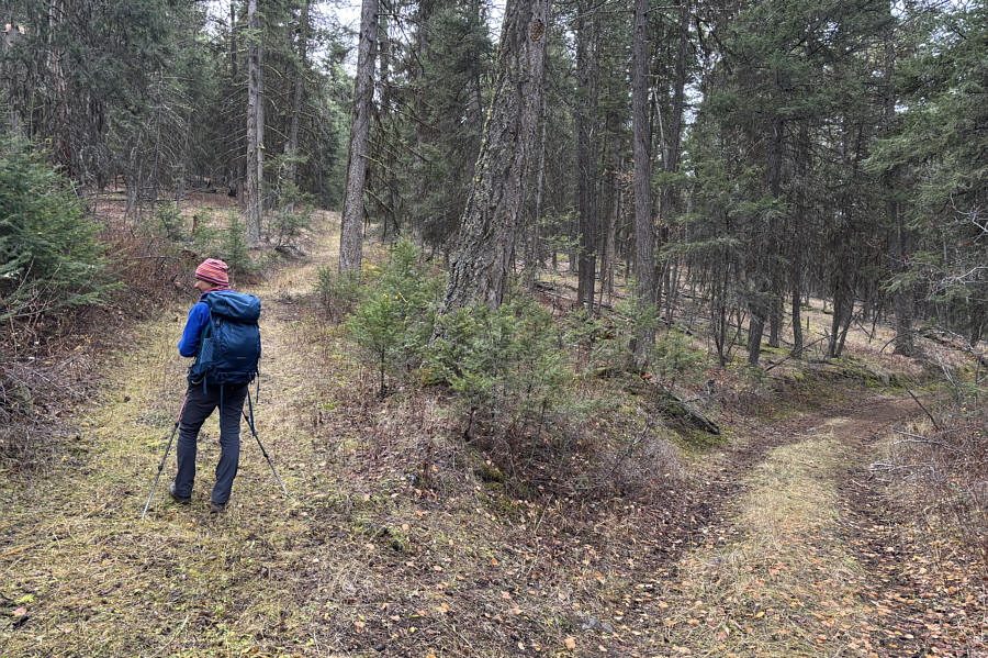
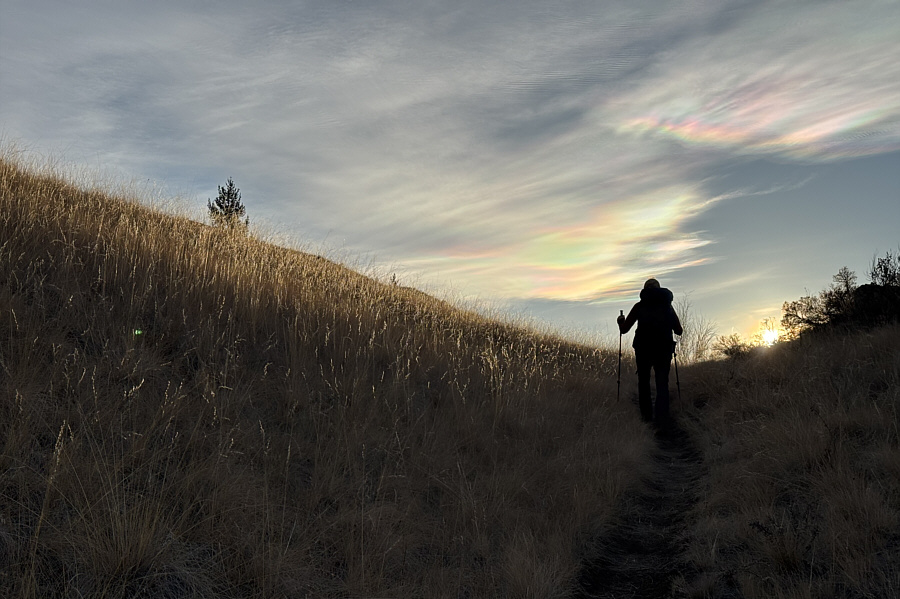
Starting from the gate, Zosia and I followed Wheeler Mountain Road
southward past an unnamed pond before turning to the northwest and
entering forest. We subsequently circled around another unnamed
pond on the north side of Mount Wheeler before abandoning Wheeler
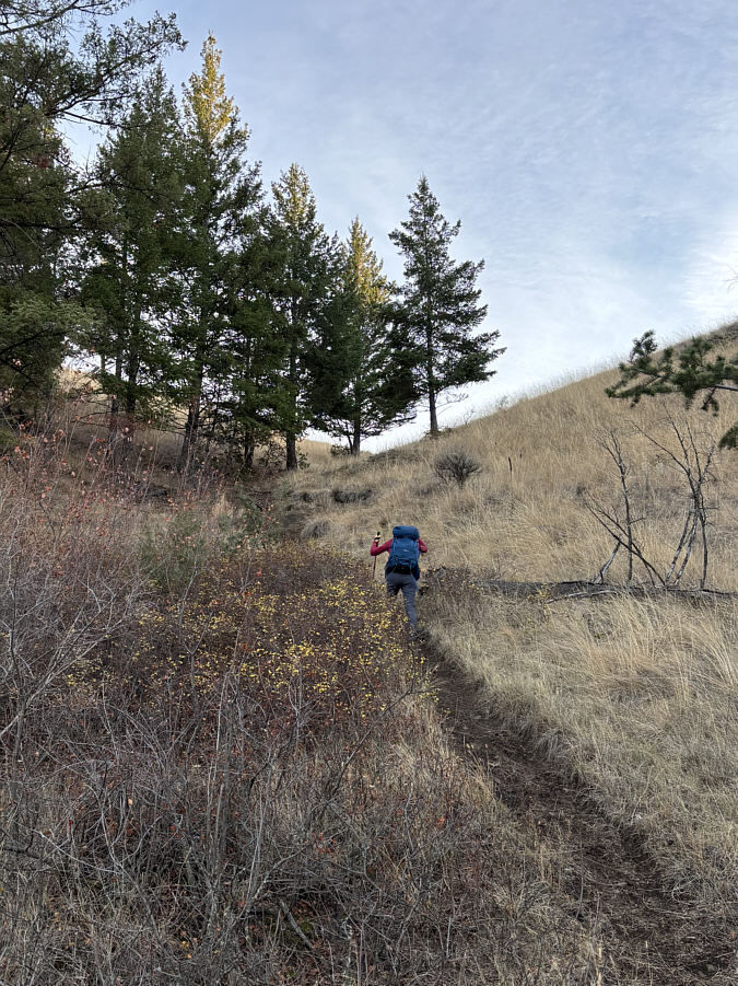
Mountain Road to take a flagged exploration road heading uphill.
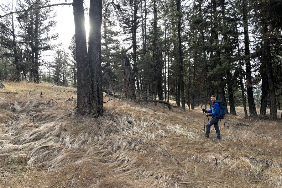
This exploration road eventually peters out, and from there, we basically
muddled our way up steep slopes on Mount Wheeler's northwest ridge.
The actual summit is a bit tricky to locate given that the top of Mount
Wheeler is broad and mostly forested, but with the help of Boulier's GPS
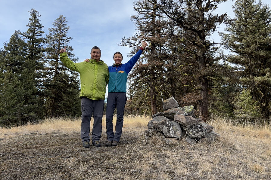
track, we eventually found the summit cairn in a small glade. With
little to see from the summit, we retreated along the northwest ridge
until we found a semi-open spot to take a short break.
For our descent, Zosia and I ended up taking a different line down the
northwest ridge, but in the end, we managed to regain the exploration
road and subsequently Wheeler Mountain Road. On the ensuing hike
back to the trailhead, we took a short cut past the north end of the
first pond before finishing up on the same road.
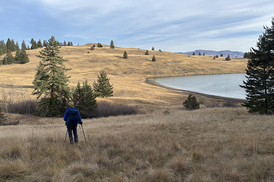
 |
Zosia starts her ascent of Mount
Wheeler along a jeep
track--Wheeler Mountain Road. |
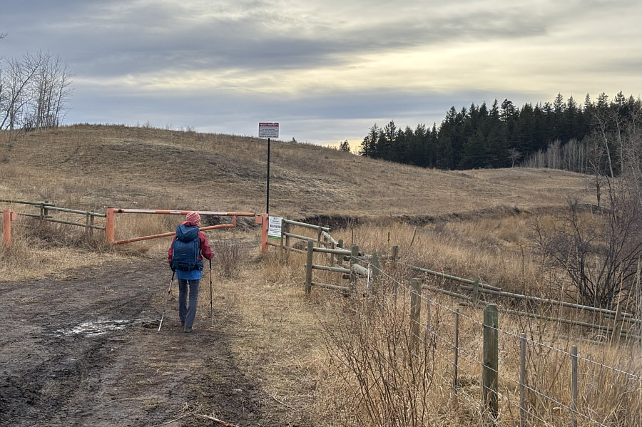
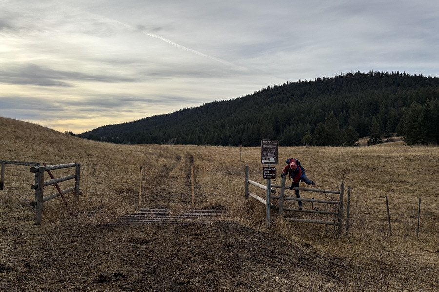 |
Zosia hops over a fence to enter Lac
du Bois Grasslands Protected Area. |
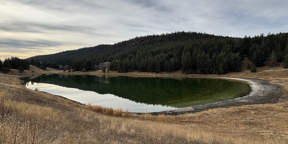
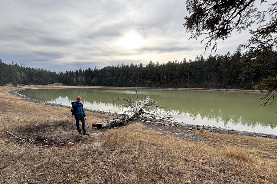
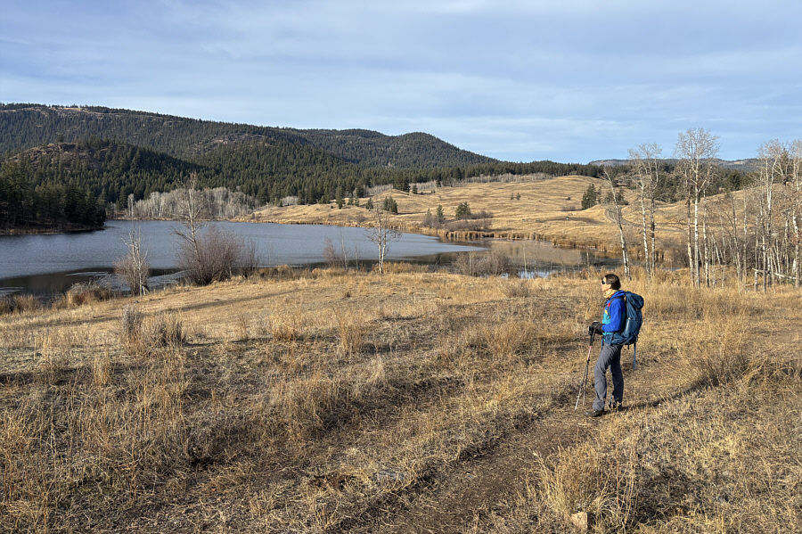
Mount Wheeler is reflected in an unnamed pond.
The water in many of the ponds here are
naturally salty--some as much as three times more than the ocean.
With plenty of daylight left, Zosia and I drove back along Lac
du Bois Road to the trailhead (50.72414, -120.40245) for Batchelor Hill
and unofficially-named "Mitchell Hill". Both names are most
commonly associated with three grassy humps near the south end of the
protected area, but there is much
discrepancy between different maps in how the humps are labeled. On
the Canadian NTS topo map, all three humps are collectively labeled as
Batchelor Hill. In Garmin's TopoCanada map, the northeast hump is
the gazetted location of Batchelor Hill. In
OpenTopoMap,
the northwest hump is named Batchelor Hill while Mitchell Hill is
attributed to a subsidiary viewpoint below the top of the southwest hump.
On BC Basemap, Canada Toporama and ArcGIS map, Batchelor Hill is situated
on a seemingly random hillside southeast of all three humps.
Furthermore, the ArcGIS map labels the southwest hump as Batchelor
Heights which is likely a misprint since that name refers to a Kamloops
residential
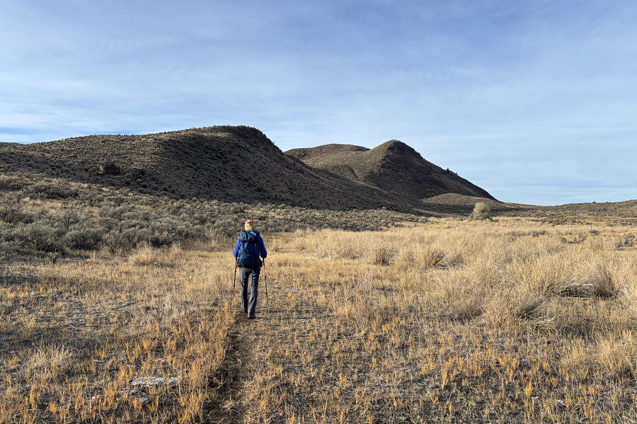
neighbourhood to the east.In contrast to the naming gong show, the hike
to tag all three humps was fairly straightforward. From the
trailhead, Zosia and I began hiking a mountain biking trail--"Shady
Glen"--heading northward and almost immediately veered left at a split.
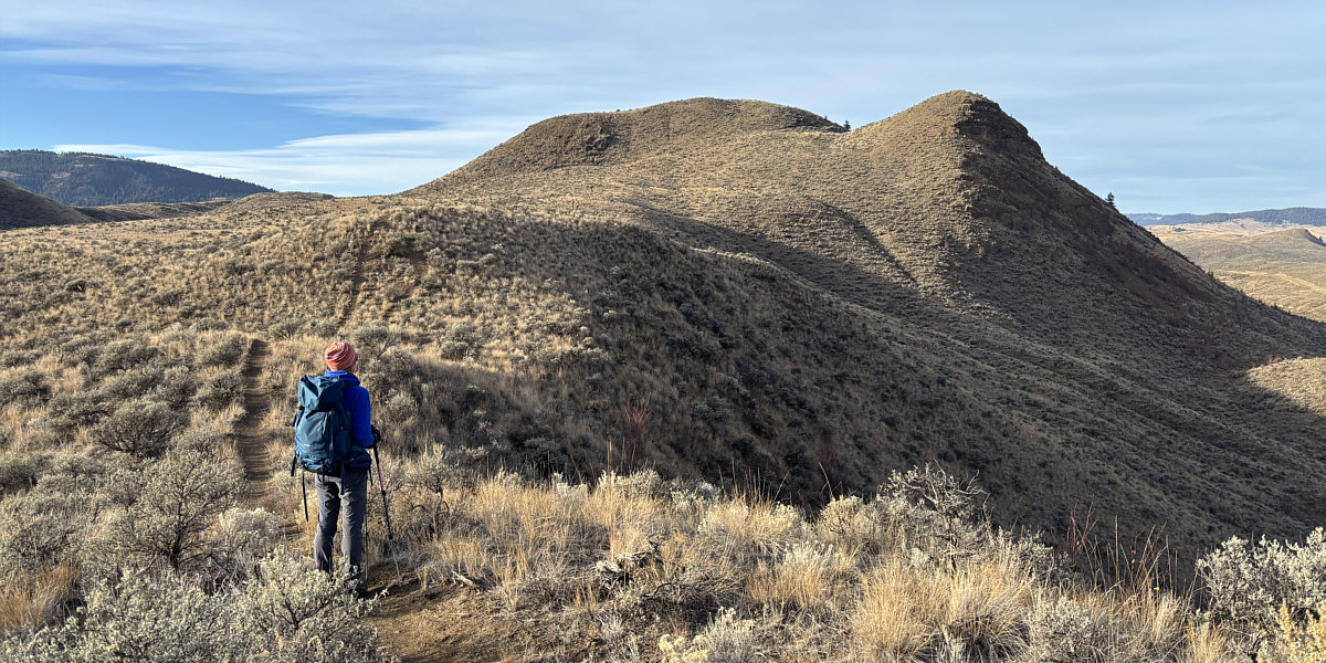
We soon gained the south ridge of the northeast hump and easily tagged a
small but distinct outlier before climbing up the main hill. The
top of the northeast hump--the highest of the three--is broad and
characterized by several grave-like holes which may be old mining shafts.
 |
Zosia begins her hike up the northeast
hump of Batchelor Hill and will gain the ridge at left. |
 |
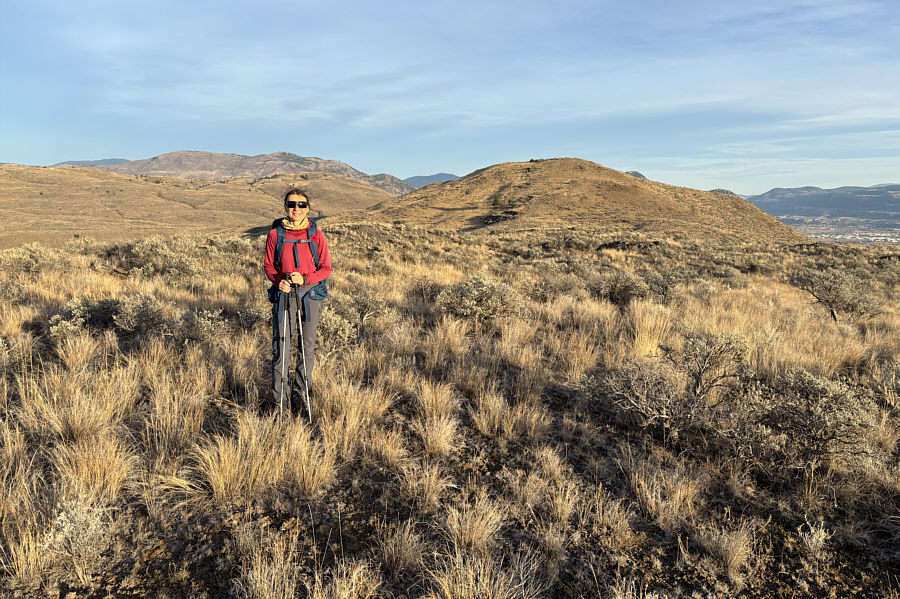
On her way up the northeast hump, Zosia gets her first glimpse of
the southwest hump which is generally regarded as "Mitchell Hill". |
Zosia gets a good look at the top of Batchelor Hill's
northeast hump and
a prominent outlier to the right.
 |
Zosia stands atop the
outlier (701 metres). |
 |
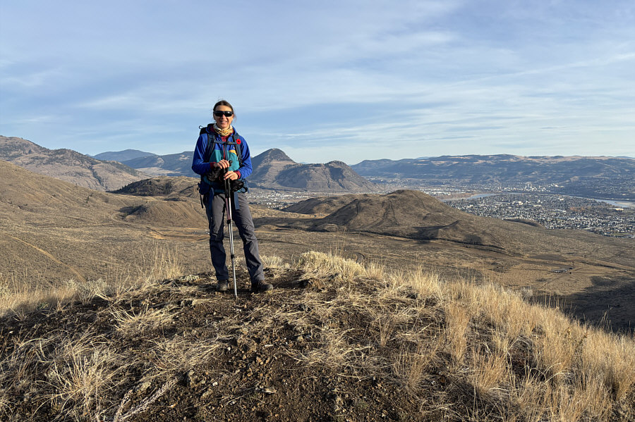
Zosia digs in on top of the northeast
hump which is also the true
high point of Batchelor Hill (728 metres). |
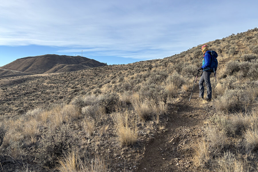
After tagging the northeast hump's high point, Zosia and I dropped down a
very steep trail to the west to reach a junction with a couple of
mountain biking trails--"Saddleback" and "Naked Pistol". We briefly
followed Saddleback to the southwest before going off-trail to climb up
the northwest hump. The actual high point of the northwest hump is
rather
ambiguous, and we wandered around a bit on top until we were satisfied
that we could climb no higher.
 |
Zosia drops down a steep trail on the
west side of the northeast hump en route to the northwest hump
(middle foreground ahead). Visible at distant left is Kamloops Lake (Thompson River). |
 |
Zosia stands on the approximate high
point (690 metres) of Batchelor Hill's northwest hump.
Behind her at right is the northeast hump. |
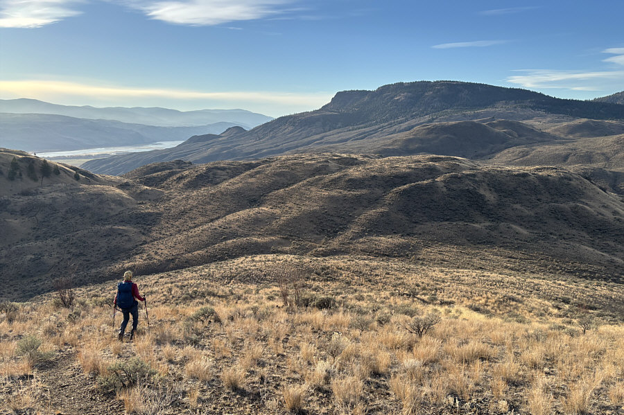
Leaving the top of the northwest hump, Zosia and I headed southward and
crossed Saddleback before picking up another mountain biking
trail--"Tower Classic". We followed Tower Classic for a short distance
and then abandoned it to take a very steep trail going up the north side
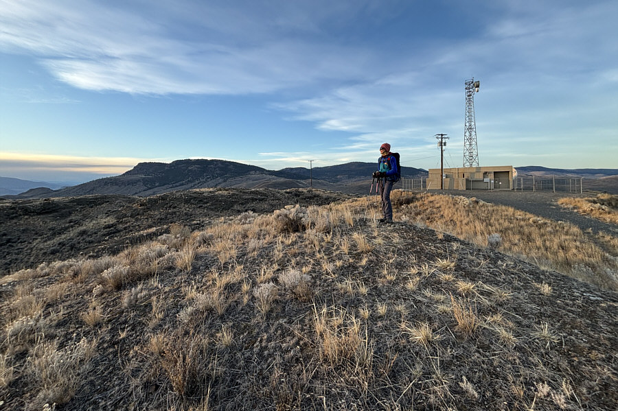
of the southwest hump. Near the top, we momentarily ignored the radio towers
there and wandered a short distance further southwest to tag the
aforementioned subsidiary viewpoint. We then returned to the radio towers
and went past them to tag a nearby knoll which felt like the true high
point of the southwest hump.
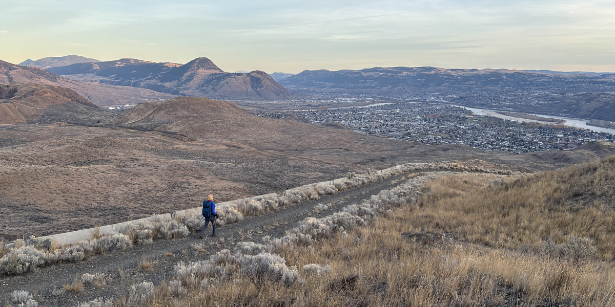
By this point, the whole business of tagging gazetted high points and
false summits felt a little ridiculous, and with the sun quickly setting,
Zosia and I took a no-nonsense descent down the radio towers' service
road which runs all the way back to the trailhead. Parts of this road
felt a little long-winded, but the unobstructed far-reaching views
throughout helped alleviate some of the drudgery of walking it.
 |
Zosia follows a mountain biking trail
called "Tower Classic". |
 |
Zosia grinds her way up the southwest
hump
on a very steep short cut trail. |
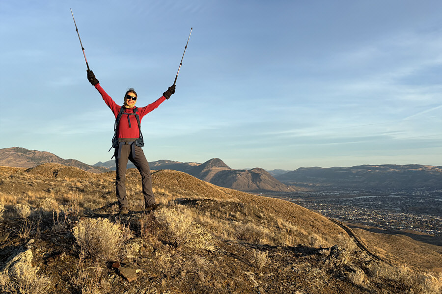 |
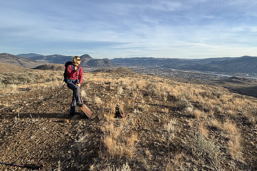
Zosia raises her poles at a viewpoint
which is marked on some maps as the gazetted high point (713 metres)
of Mitchell Hill. |
 |
Zosia watches the sunset from the true
high point (715 metres) of Mitchell Hill (or the southwest hump of
Batchelor Hill). |
Zosia descends Mitchell Hill on a wide service road.
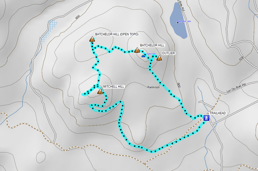 |
Total Distance: 5.8 kilometres
Round-Trip Time: 2 hours 11 minutes
Cumulative Elevation Gain: 252 metres
GPX Data |