Photo courtesy of Zosia Zgolak
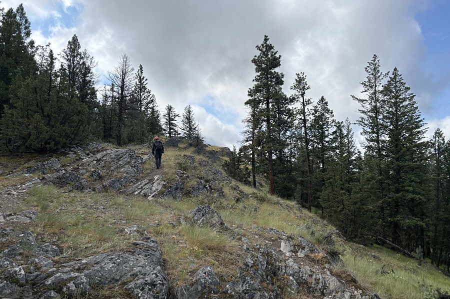
The forest gives way to rock outcrops and short bluffs near the top of Windy Bluff.
|
|
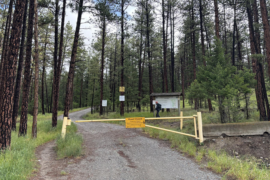
Zosia checks out an information board at the northern terminus of Sylvan Lake Forest Service Road. |
|
|
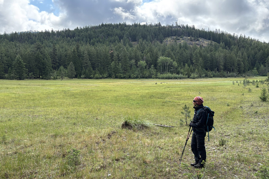
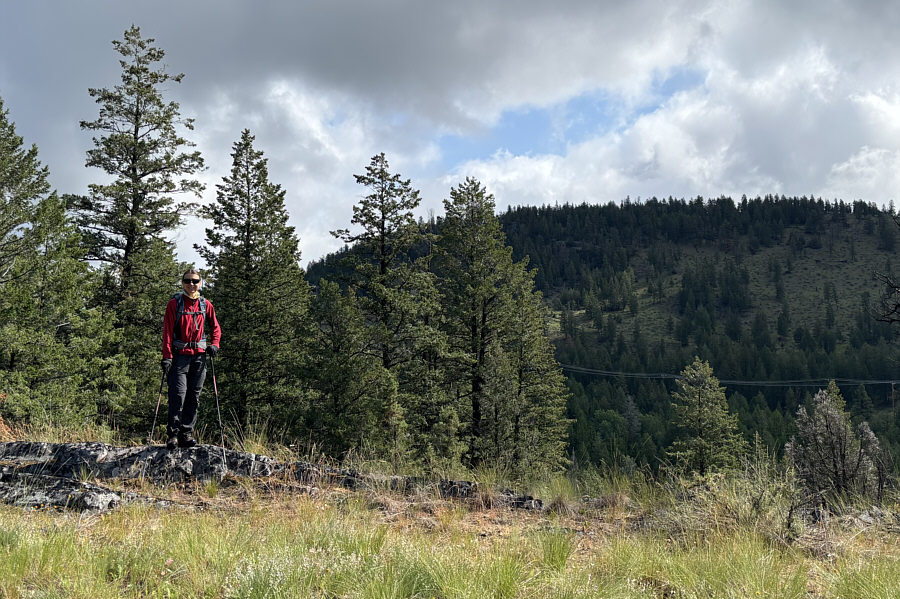
Zosia gets her first look at "Windy Bluff" across a clearing. |
|
|
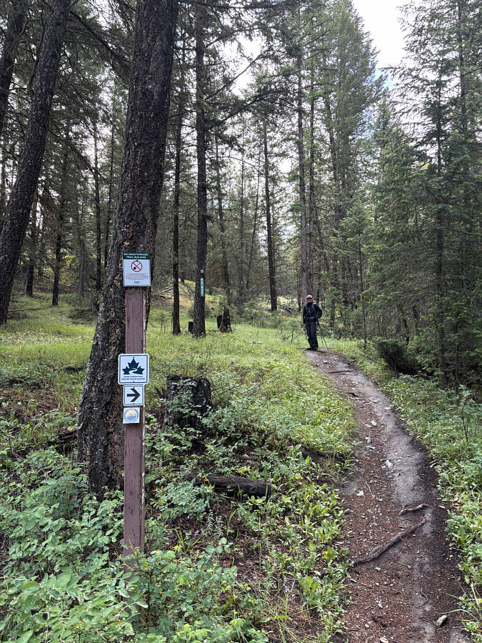
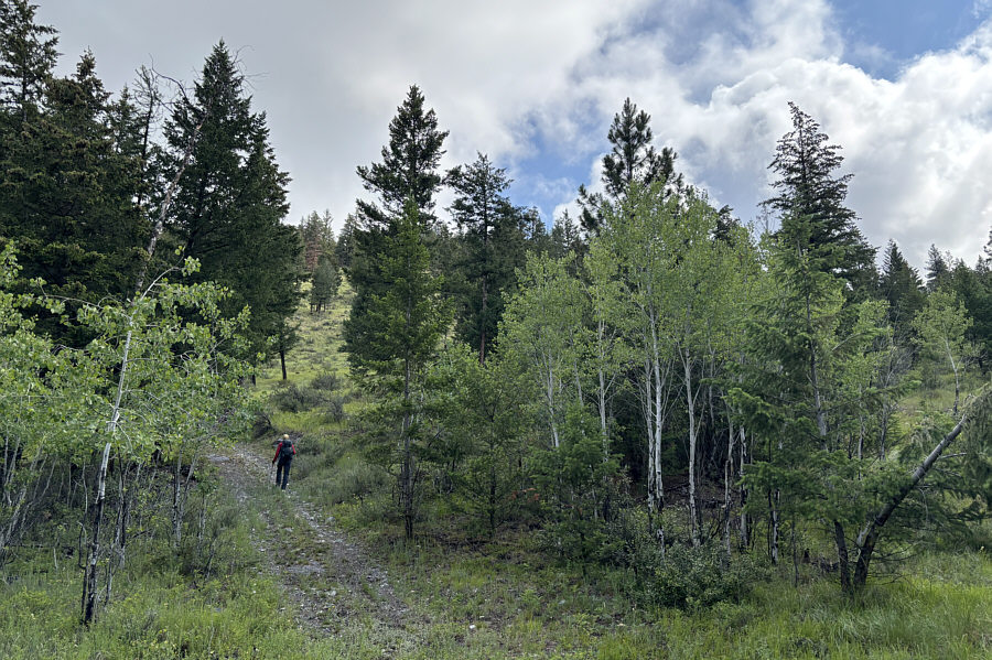
Zosia turns up Windy Bluff's namesake trail at the Kettle Lake trailhead. |
|
|
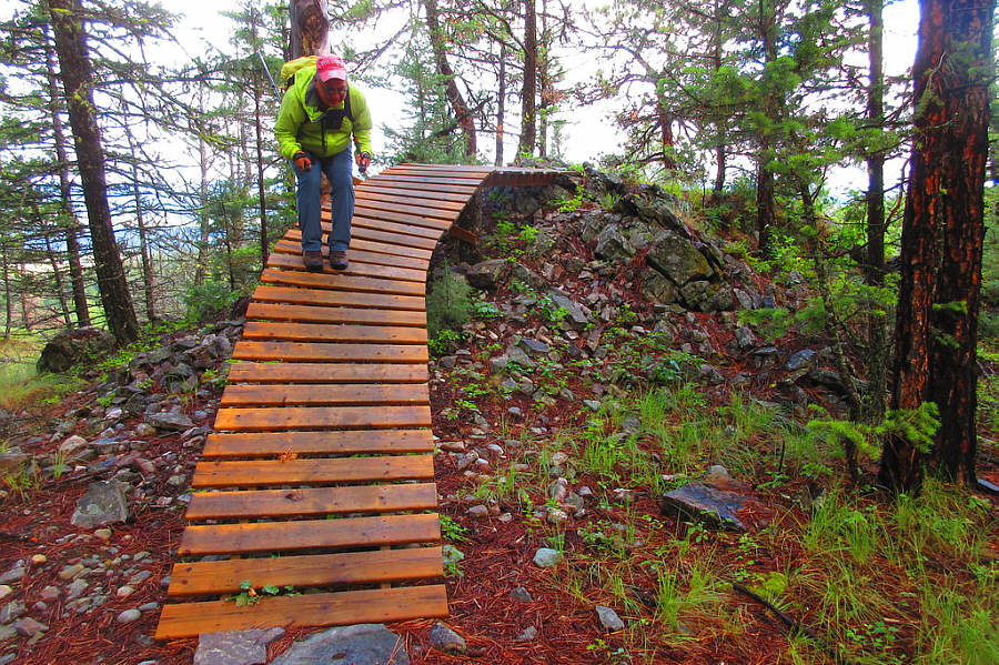
Without a mountain bike, Sonny tries
to "ski" the wooden boardwalk. Photo courtesy of Zosia Zgolak |
|
|
The forest gives way to rock outcrops and short bluffs near the top of Windy Bluff. |
|
|
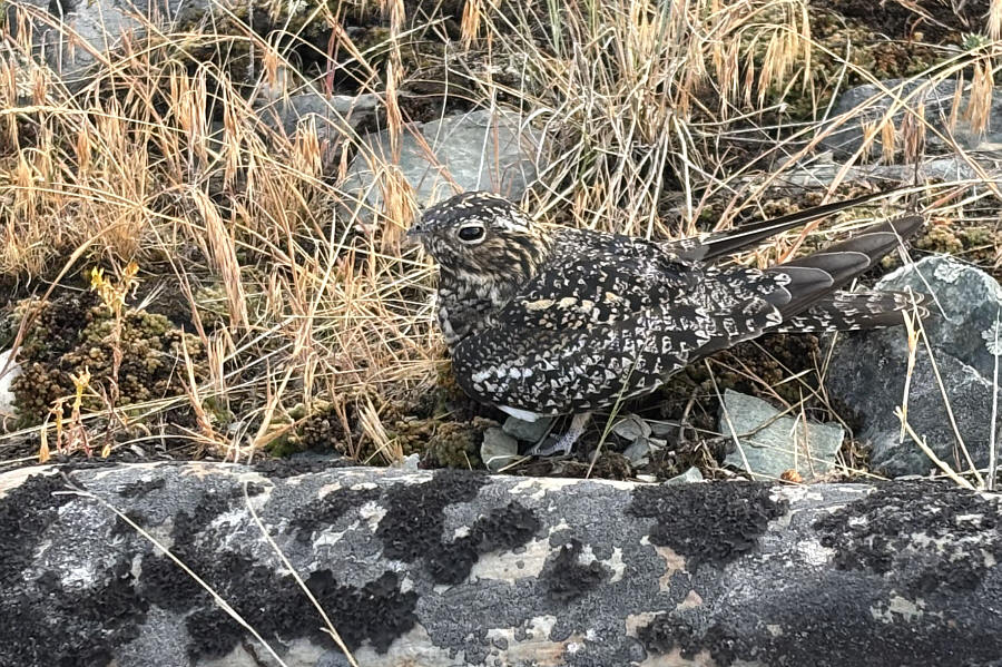
This common nighthawk has been inadvertently disturbed from its nesting spot. |
|
|
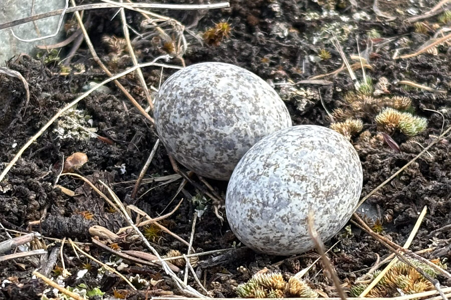
Peculiarly, nighthawks lay their eggs on open ground instead of in traditional nests. |
|
|
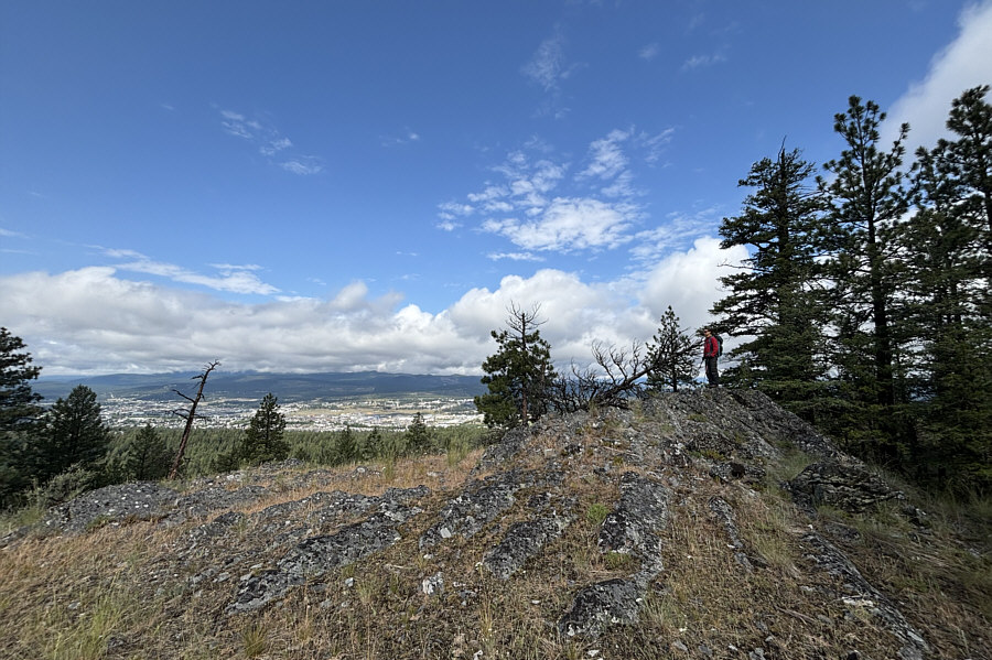
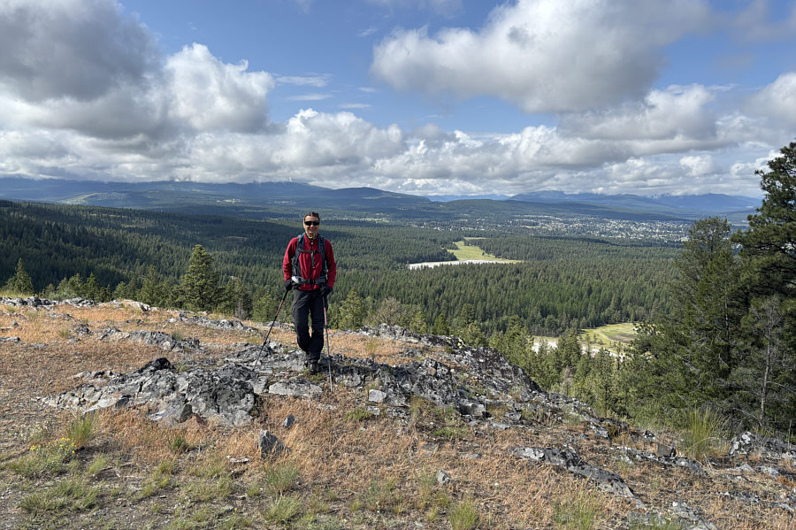
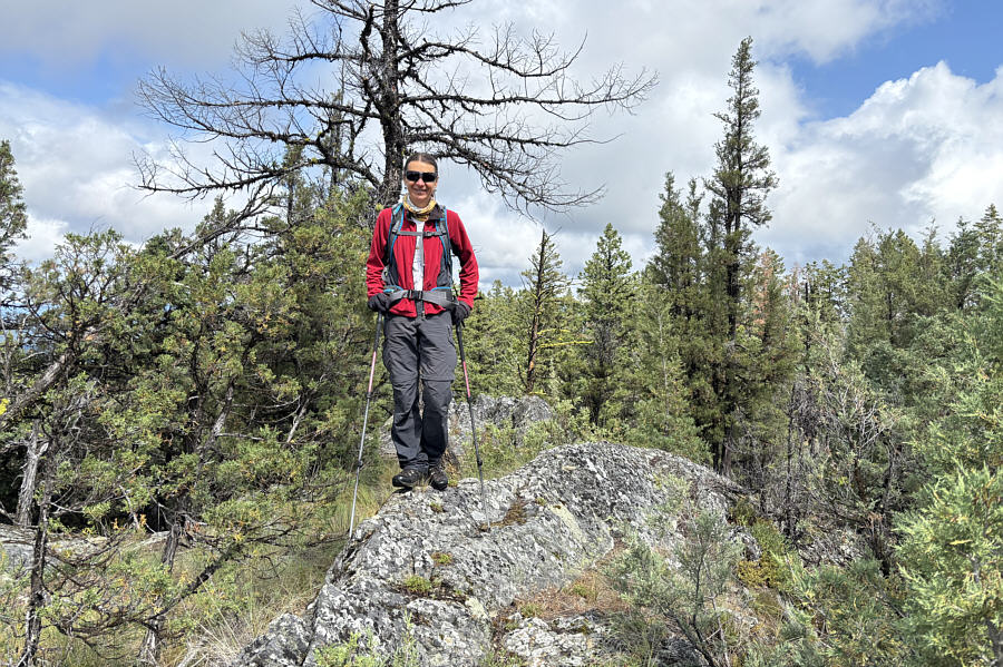
Zosia stands on the high point of Windy Bluff (1145 metres). |
|
|
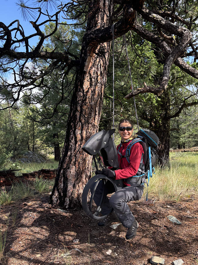
Near the top of Windy Bluff is this horsey swing made of recycled tires. |
|
|
Here is a view of "The Wall" from near the top of Windy Bluff. |
|
|
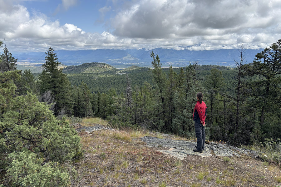
A sliver of Sylvan Lake is visible behind Zosia in this view to the southwest. |
 |
Zosia climbs up a spur road going up the west slopes of The Wall. |
 |
Zosia stands on the high point of The Wall (1227 metres). |
 |
Zosia looks toward "Bee Line Hill" from a clearing on the east side of The Wall. |
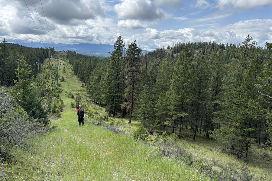 |
Zosia crosses a power line right-of-way on the return trip. At right is Windy Bluff. |
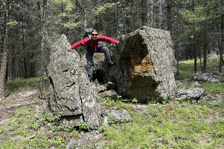 |
One of the trails used on the descent is presumably named after this "Split Rock". |
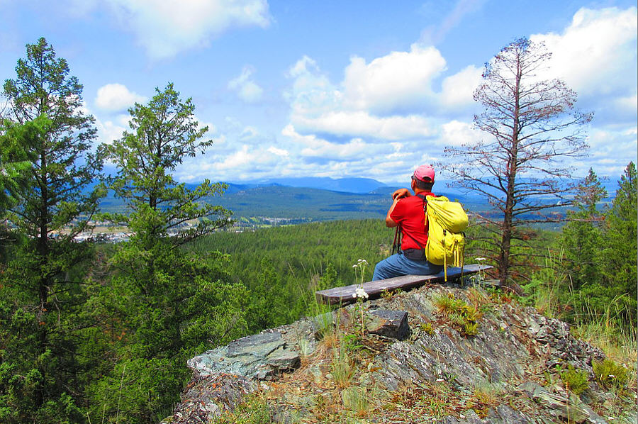 |
Sonny relaxes on a bench at one of the
last viewpoints before the descent to Kettle Lake trailhead. Photo courtesy of Zosia Zgolak |
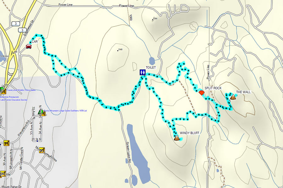 |
Total Distance: 9.7 kilometres Round-Trip Time: 4 hours 2 minutes Cumulative Elevation Gain: 336 metres |