BOU AVENUE
Addy Mountain
On 20 July 2026, Zosia Zgolak and I climbed Addy Mountain located about 14 kilometres north of Chewelah, Washington.  This rather low and largely forested mountain attracts a surprising amount of attention from peak-baggers probably because it has over 2500 feet (762 metres) of prominence, but as I write this, I am still scratching my head a bit as to why we decided to tackle this rather unremarkable objective.  There are a couple of different approaches for the ascent, but with no established trail or road to the summit, some bushwhacking is inevitable whichever route is chosen.  Eric Willhite has an excellent trip report for Addy Mountain, and we would follow in his footsteps up the west ridge.  His statement, "Road can be done in any vehicle with care" was a big selling point for us after we had driven some pretty tough roads over the previous few days.

Depending on the direction of travel along US Highway 395 between the communities of Arden and Addy, there are several different access points for Old Highway 12 Mile Road.  Once on Old Highway 12 Mile Road, turn east onto Slide Creek Road at a T-intersection (48.41331, -117.84599).  Drive 2.6 kilometres to where the pavement becomes 2WD gravel.  Continue for another 1.5 kilometres and turn left onto another gravel road marked with a weathered National Forest sign.  Drive about 6.2 kilometres to a small loop at road's end.  Most 2WD vehicles should be able to make it here, but having high clearance is always helpful.

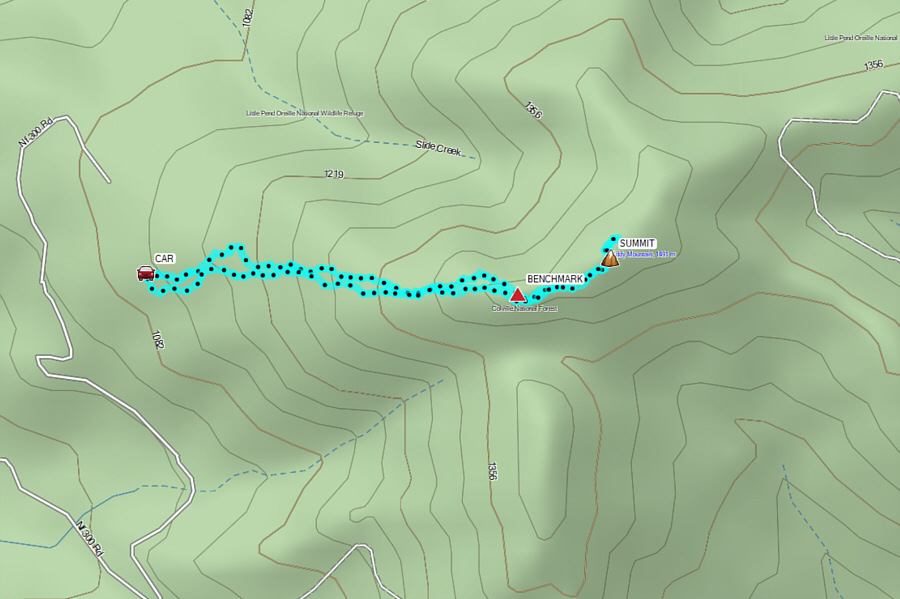
Right from the loop at road's end, Zosia and I pushed uphill on a very faint beaten path which soon disappeared among bushes and occasional deadfall.  The bushwhacking was actually not bad, and with a bit of route-finding, we were able to make our way up the forested ridge without too much grief.  After passing an unexpected benchmark on a false summit, we dropped slightly into a dip before muddling our way up to a clearing along the summit ridge.  This is the only place on the mountain with any views to speak of.  A short distance beyond the clearing is the viewless summit with a cairn and register.  We wandered a little further past the summit before backtracking to the clearing to take a break.

For our descent, Zosia and I tried our best to retrace our up-track, but given the bushy terrain, some straying was inevitable.  We inadvertently almost descended past our car, but fortunately, I was paying attention to my GPS application and made a course correction before any navigational disaster occurred.
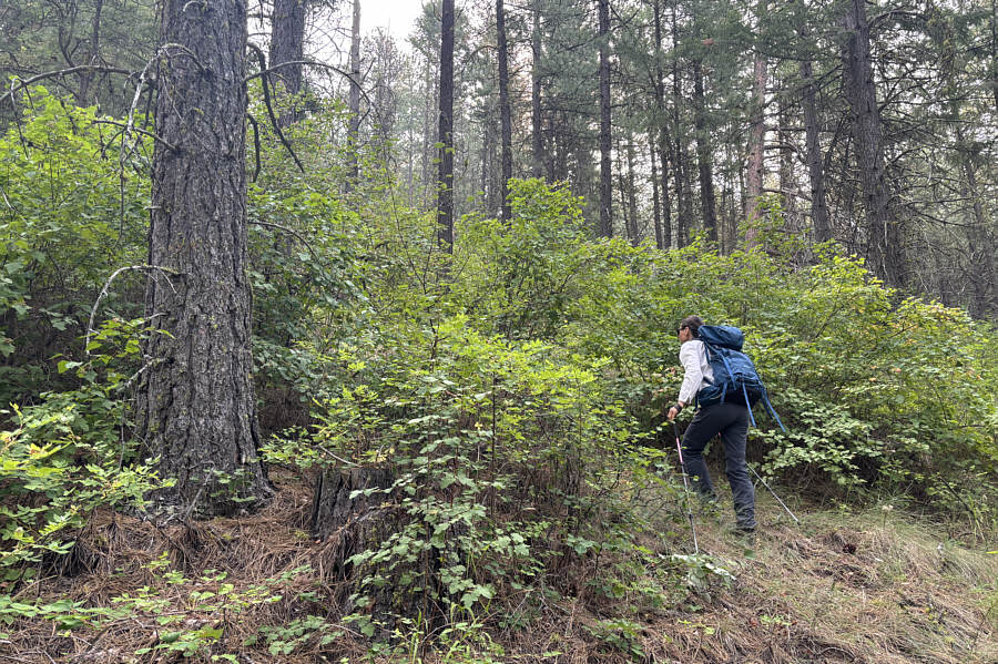
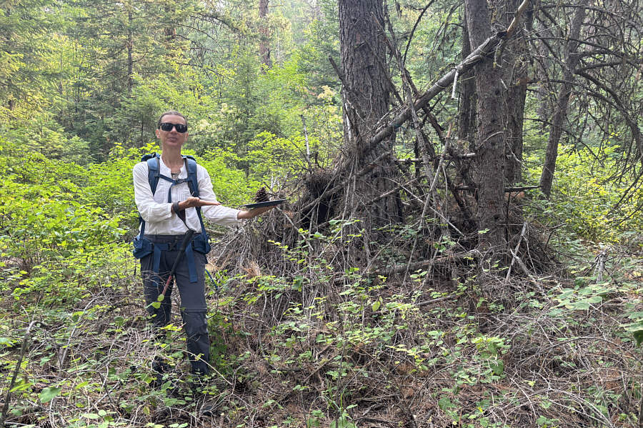
But it's not as bad as it looks... Zosia begins bushwhacking right at the start of the trip.
Pine cone for lunch? Even in the middle of nowhere can be found evidence of human passage.
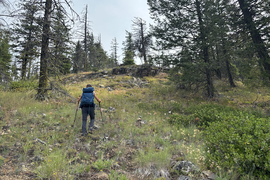
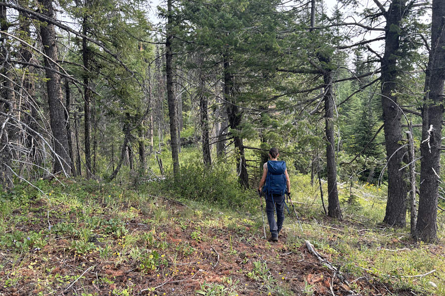
Actually quite pleasant off-trail hiking! The bushes give way to more open slopes higher up the mountain.
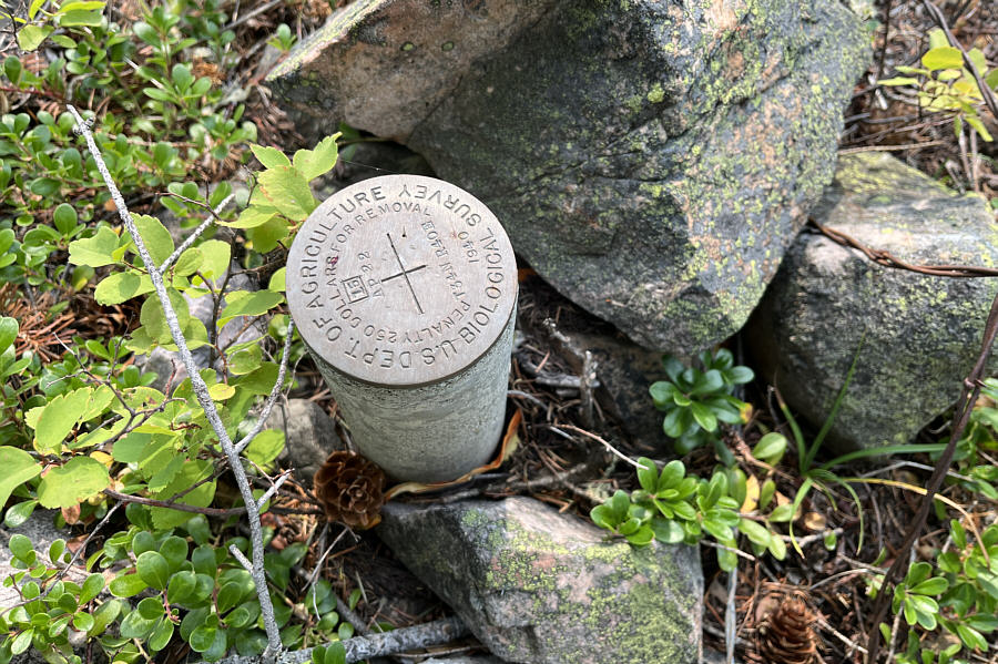
Why isn't this on the actual summit? A survey benchmark can be found at the west end of the summit ridge.

Photo courtesy of Zosia Zgolak

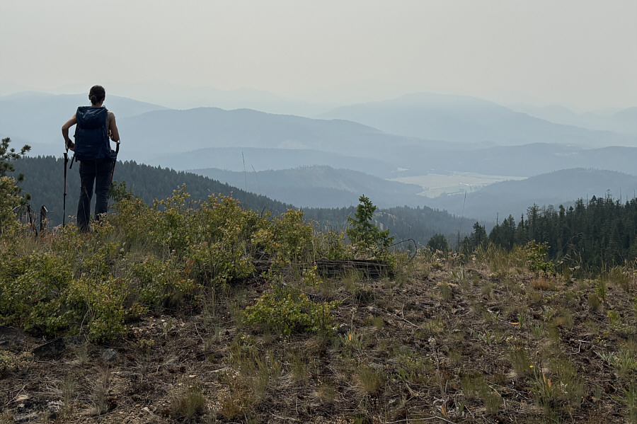
Smoky views are better than no views! Zosia pauses to enjoy some smoky views from the summit ridge.  At right in the hazy distance is Eagle Mountain.
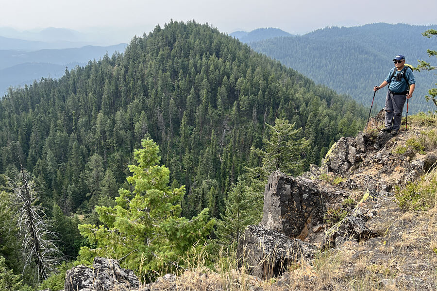
Might even be unclimbed 'cause I don't know who in their right mind would make the effort to go there! This forested hump is the southern outlier of Addy Mountain and is probably seldom, if ever, visited.

Photo courtesy of Zosia Zgolak

There are some game trails here but also a lot of annoying deadfall. Traversing the summit ridge is a bit of a thrash due to the abundant bush and deadfall here.
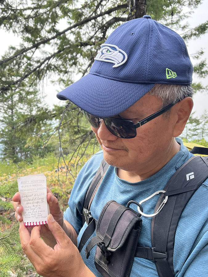
"If you find Lumix camera down low please call 858-453-8128" Addy Mountain's summit register is rather tiny.

Photo courtesy of Zosia Zgolak

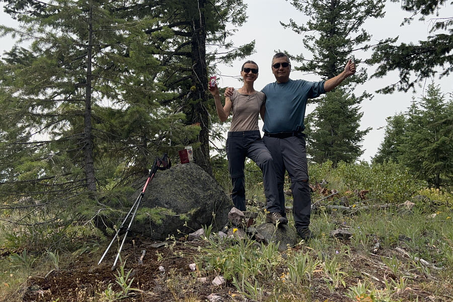
Another forgettable summit. Zosia and Sonny stand on the summit of Addy Mountain (1494 metres).
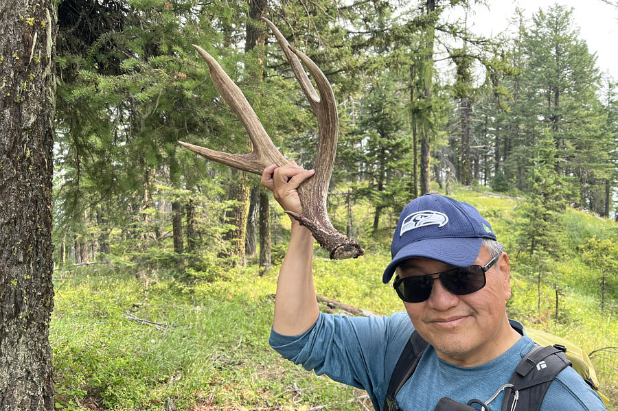
It's an exquisite specimen! Sonny holds up an antler which Zosia found a short distance from the summit.  Zosia would leave it by the summit register.

Photo courtesy of Zosia Zgolak

It's short...'nuff said! Total Distance:  4.3 kilometres
Round-Trip Time:  3 hours 29 minutes
Cumulative Elevation Gain:  361 metres

GPX Data