 |
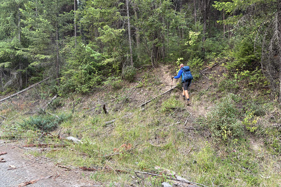
From the pullout, Zosia follows the most promising trail--little more than a beaten path--heading into the forest. |
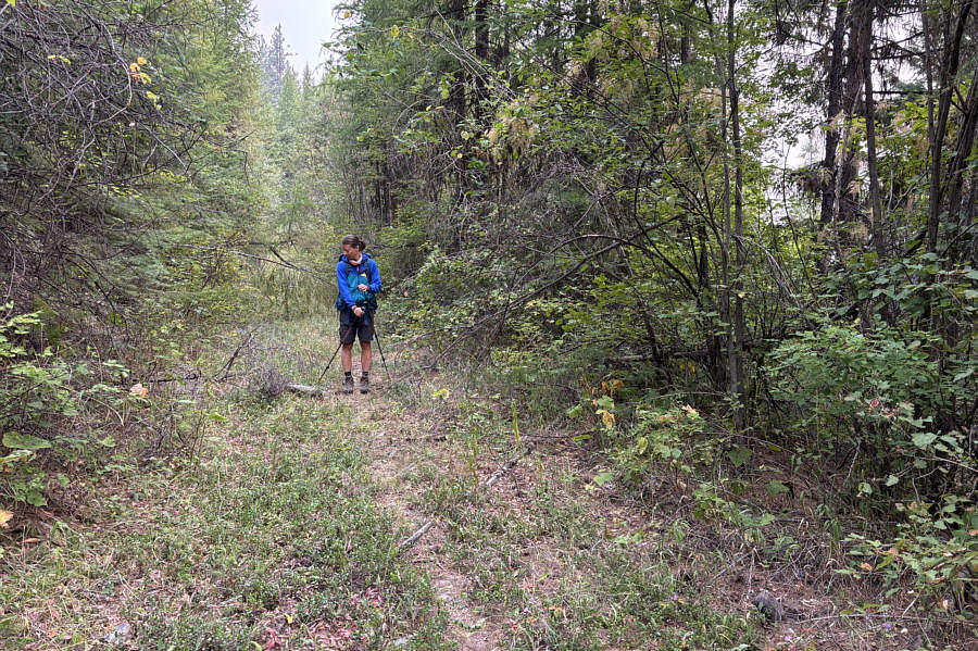 |
After a bit of a bushwhack, Zosia stumbles onto a reclaimed exploration road. |
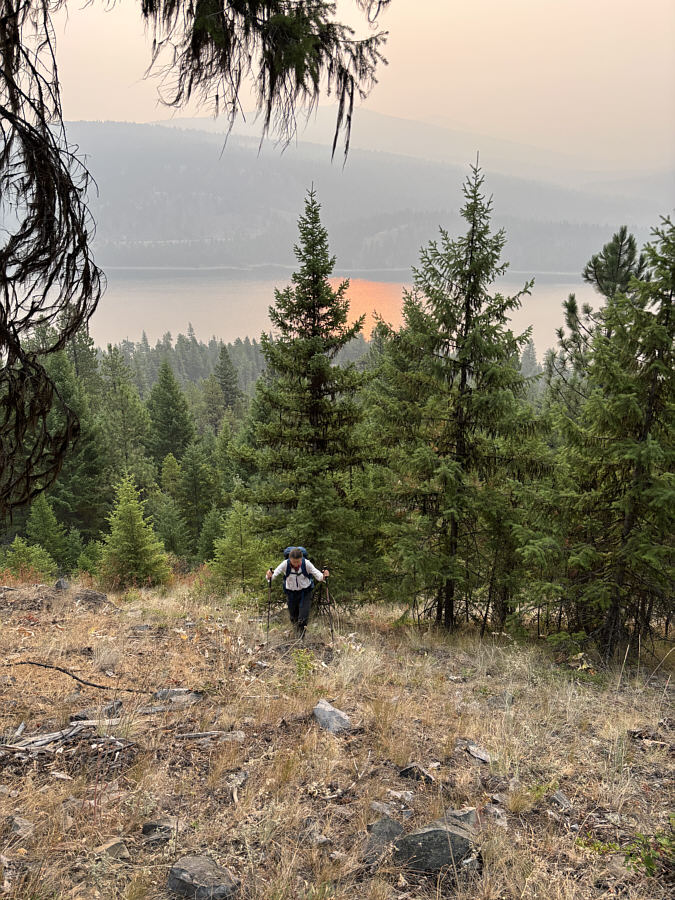 |
Abandoning the exploration road, Zosia hikes off-trail up a steep slope with some limited views of Lake Koocanusa. |
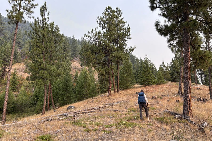 |
This ridge initially appears promising to ascend. |
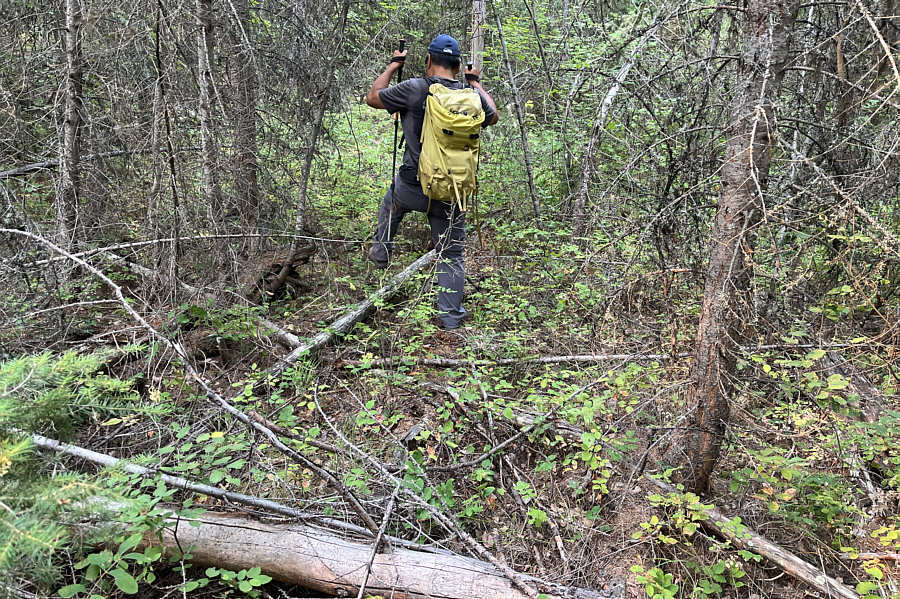 |
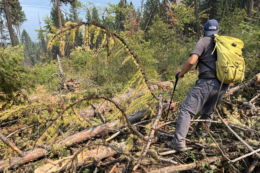
Sonny goes for an extended thrash
through some rather miserable terrain. Photo courtesy of Zosia Zgolak |
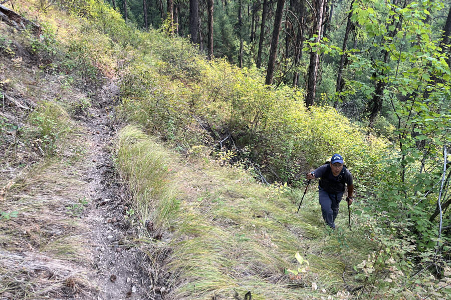 |
The look on Sonny's face says it all
as he emerges from the bush and intersects a well-defined trail. Photo courtesy of Zosia Zgolak |
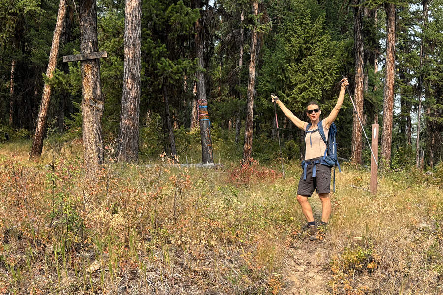 |
Near the intersection with an overgrown forestry road (FR-4857), Zosia rejoices at seeing a sign that confirms that she is on the trail (FT-270) to Alexander Mountain. |
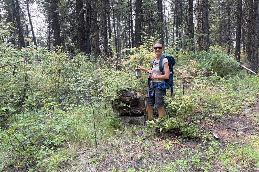 |
Zosia holds the remnant of some mysterious device on the summit of Alexander Mountain (1422 metres). |
For our return trip, Zosia and I hiked back over Alexander Mountain along FT-270 and continued to follow the trail eastward to see where it actually ended up. We discovered that, east of the intersection with FR-4857, FT-270 is inaccurately marked on all maps. At one point during our miserable bushwhack, we had been only a mere 30 metres from the trail, but further east, FT-270 diverges considerably from where we had expected it to be. As we got lower and nearer to FR-228, we were dismayed to find that large parts of FT-270 have been wiped out by a recent clear cut. We ended up tiptoeing through logging slash to get down to FR-228. As we walked along the highway back to where we parked, we passed the actual signed trailhead located about 70 metres north of the pullouts. The sign here would be easy to miss if traveling northbound on the highway, and even if we had started hiking here, we would have lost the trail immediately in the clear cut. In my opinion, it is perhaps just as well that the trail is obliterated near the beginning because neither Alexander Mountain nor Fleetwood Point are worthwhile hiking objectives.
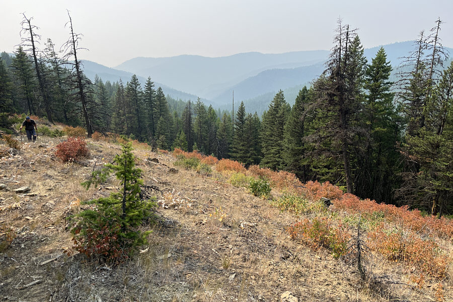 |
While traversing between Alexander
Mountain and Fleetwood Point, Sonny crosses a rare break in the
forest which allows some hazy views of distant ridges. Photo courtesy of Zosia Zgolak |
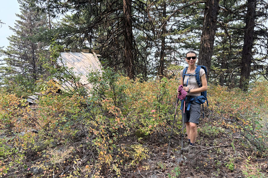 |
A collapsed hut marks the summit of Fleetwood Point (1462 metres). |
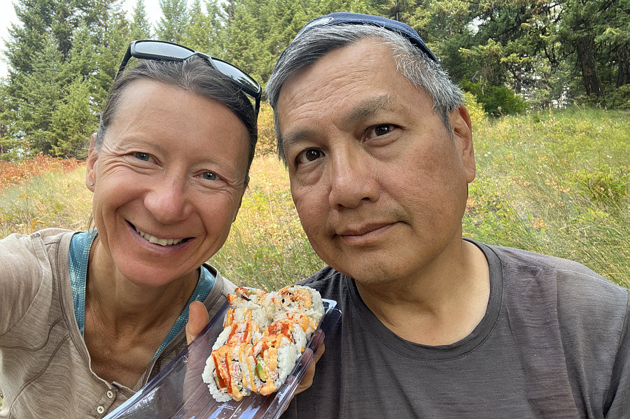 |
The highlight of the day is eating
California rolls for lunch. Photo courtesy of Zosia Zgolak |
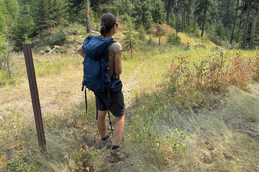 |
On the return hike, Zosia spots a grouse perched on a stump at the intersection between FT-270 and FR-4857. |
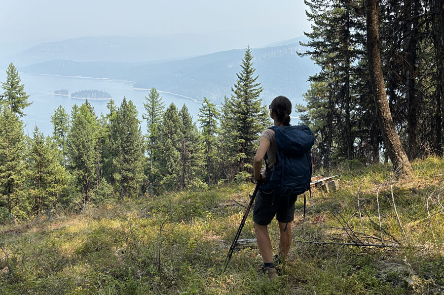 |
Following FT-270 out to the highway, Zosia gets a glimpse of Yarnell Island in Lake Koocanusa. |
 |
The trail disappears amongst some
logging slash. Photo courtesy of Zosia Zgolak |
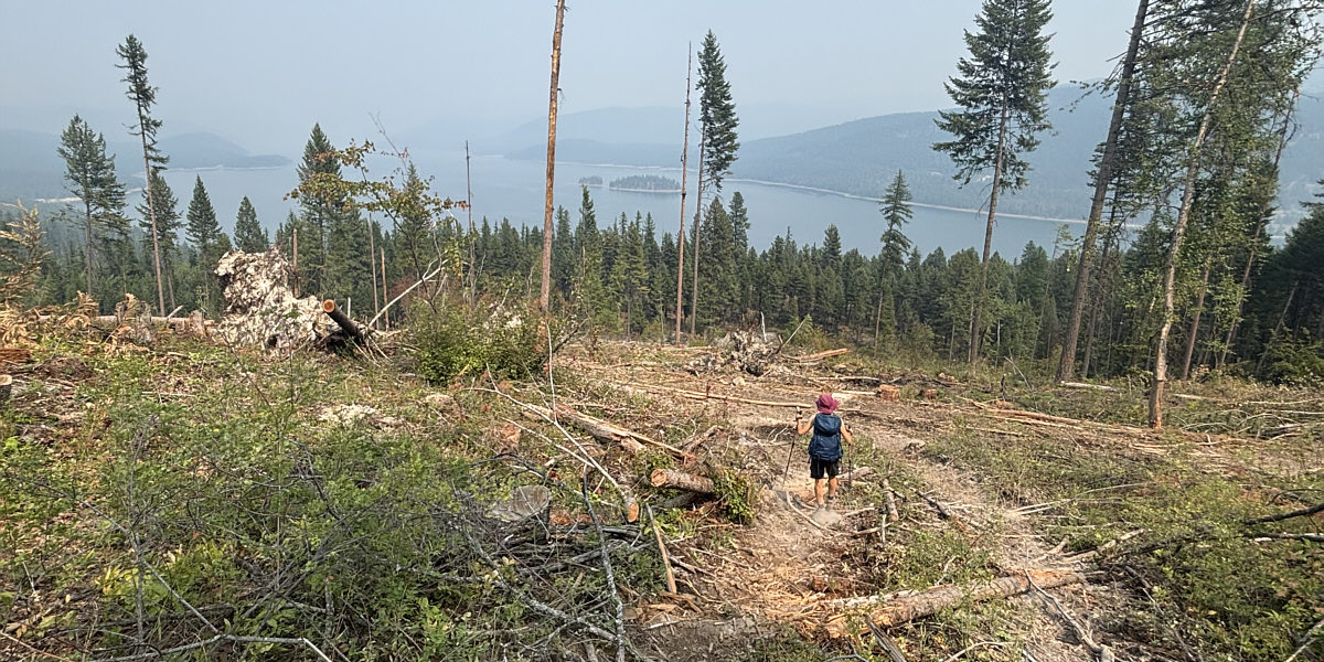
Unable to find the continuation of the trail, Zosia makes her own way down through the logging slash.
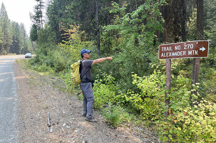 |
Sonny finds the actual trailhead for
Alexander Mountain. Note how far away the sign is from the
pullout where Sonny's car is parked. Photo courtesy of Zosia Zgolak |
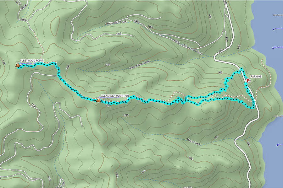 |
Total Distance: 15.9 kilometres Round-Trip Time: 7 hours 1 minute Cumulative Elevation Gain: 768 metres |