
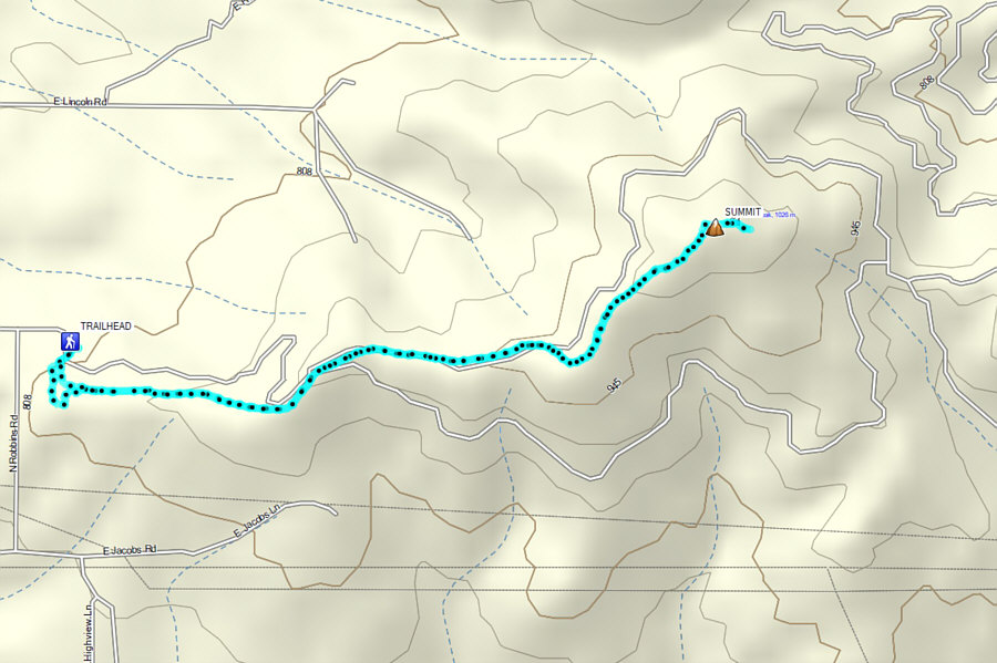
Round-Trip Time: 2 hours 57 minutes
Cumulative Elevation Gain: 221 metres
|
|
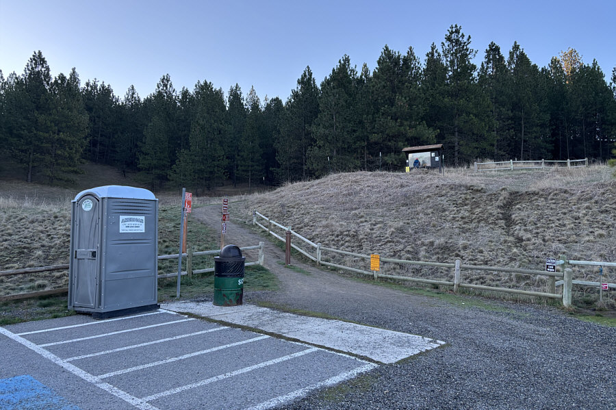
Zosia stands in front of a sign board at the western trailhead for Antoine Peak. |
|
|
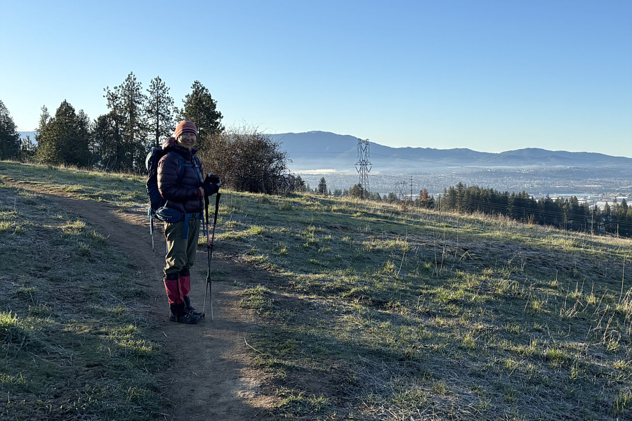
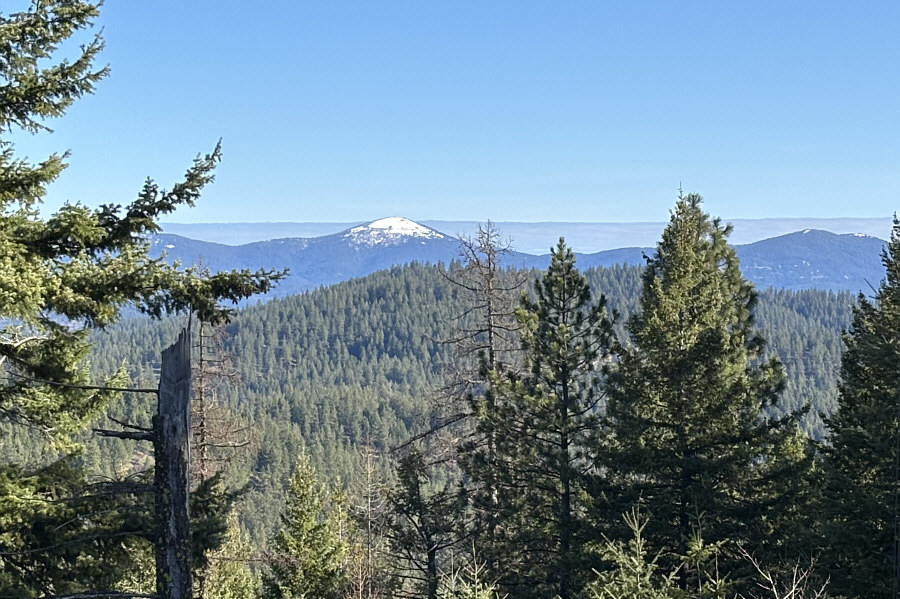
Early in the ascent, there are already some far-reaching views of Mica Peak (centre) to the south. |
|
|
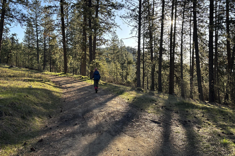
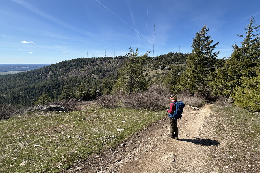
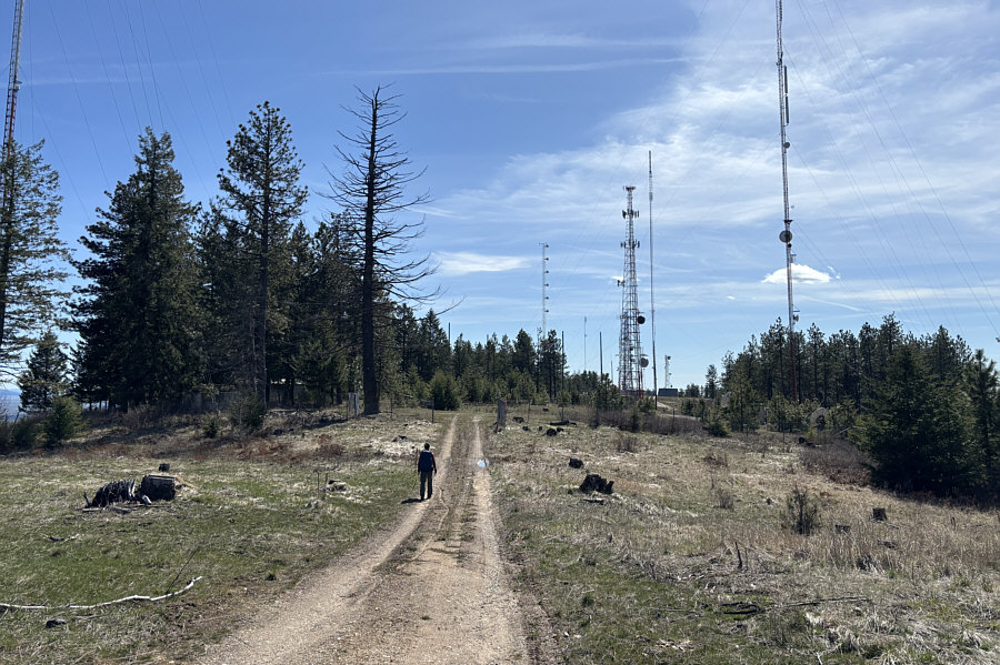
Zosia follows a service road for most of the ascent. |
|
|
Zosia finds her first tick of the season. |
|
|
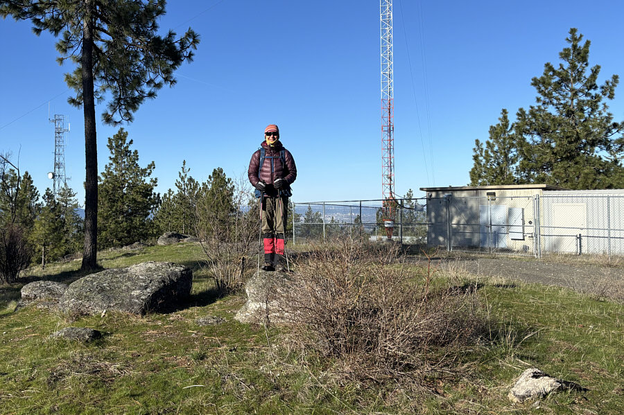
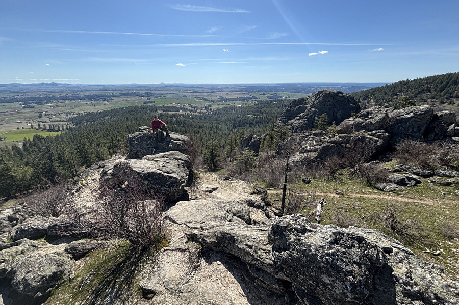
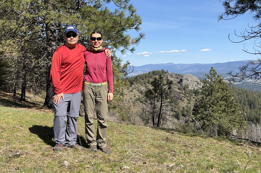
Zosia stands on the summit of Antoine Peak (1032 metres). |
|
|
A break in the trees near the top of Antoine Peak grants this view of Mount Spokane to the north. |
|
|
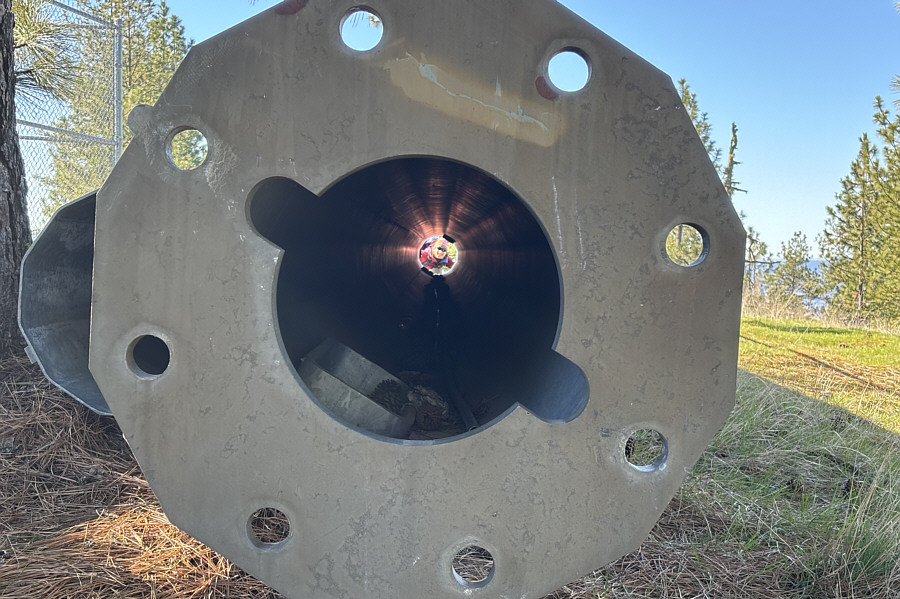
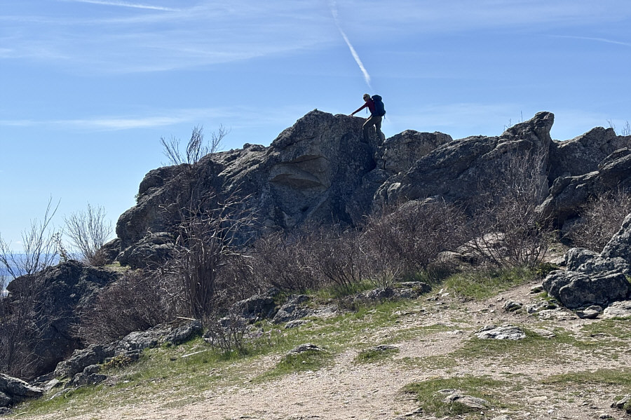
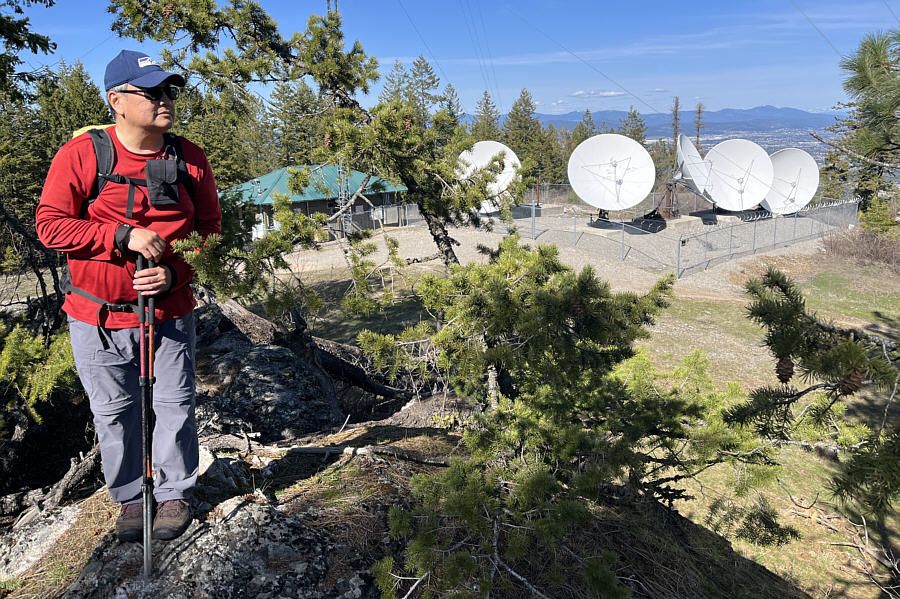
Zosia peers through an uninstalled monopole tower. |
|
|
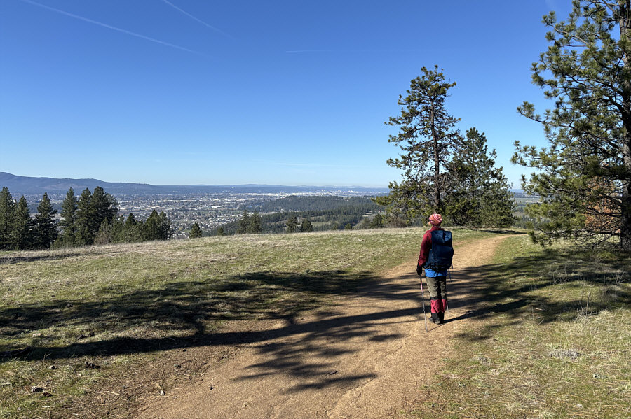
The city of Spokane is visible in the distance as Zosia descends the west ridge of Antoine Peak. |
|
|
Total Distance: 5.6 kilometres Round-Trip Time: 2 hours 57 minutes Cumulative Elevation Gain: 221 metres |
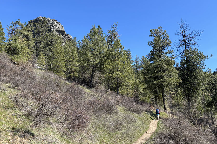
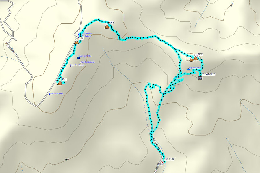
From the Stevens Creek Trailhead parking lot (47.57016, -117.28852), Zosia and I walked up the remainder of Stevens Creek Road to a split and headed right going past a locked gate (left leads to a private residence). A short distance further, the trail seemingly splits in multiple directions at an information sign board, but we stuck to the main trail heading straight. After a short but moderately steep ascent, we passed under Big Rock, the most striking of all the rock outcrops in the area. There is apparently a non-technical ascent route up Big Rock via its east face, but our initial impression was that it looked too daunting for us. We instead visited another outcrop to the south which boasts an easy-to-reach panoramic viewpoint. From there, we followed trails to the high point of the ridge which is adorned with two more rock outcrops. We scrambled up both rock outcrops here, and the easternmost of the two is likely the highest point of Rocks Of Sharon according to USGS 3DEP map data. Ultimately, we did not scramble up Big Rock to empirically confirm its height, but according to the USGS 3DEP map data, it appears to be lower than the rock outcrops atop the ridge by a few metres.
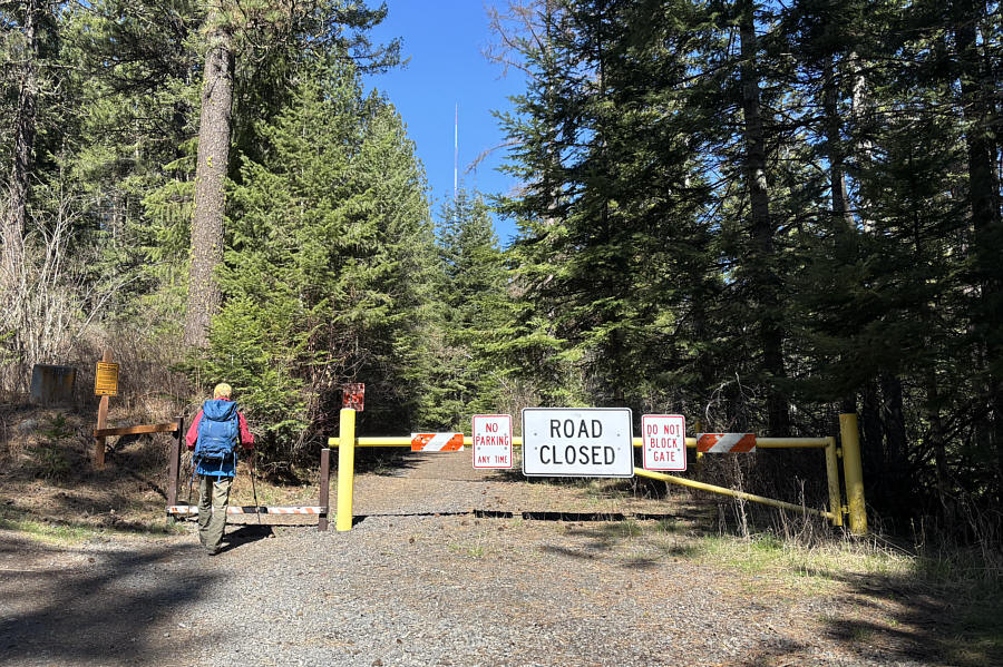 |
Zosia passes a gate at the start of the hike to Rocks Of Sharon and Krell Hill. |
 |
Zosia passes below Big Rock, the most striking rock outcrop in the area. |
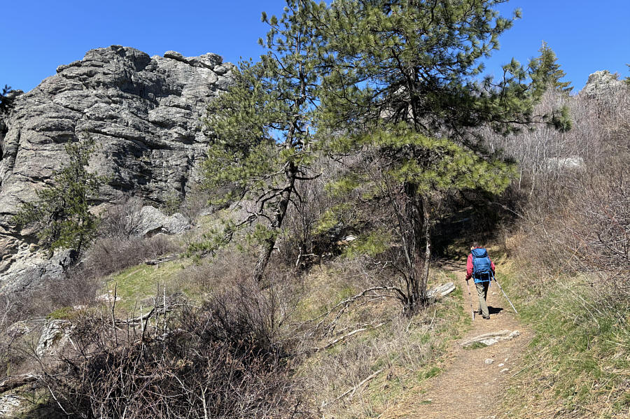 |
Zosia winds around the east side of Big Rock. A non-technical ascent route goes up this side. |
 |
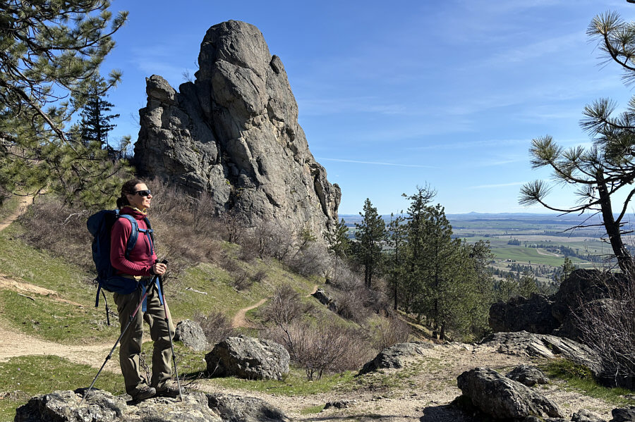
Zosia stands at a scenic viewpoint with Big Rock and Krell Hill visible in the background. |
 |
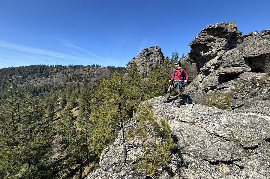
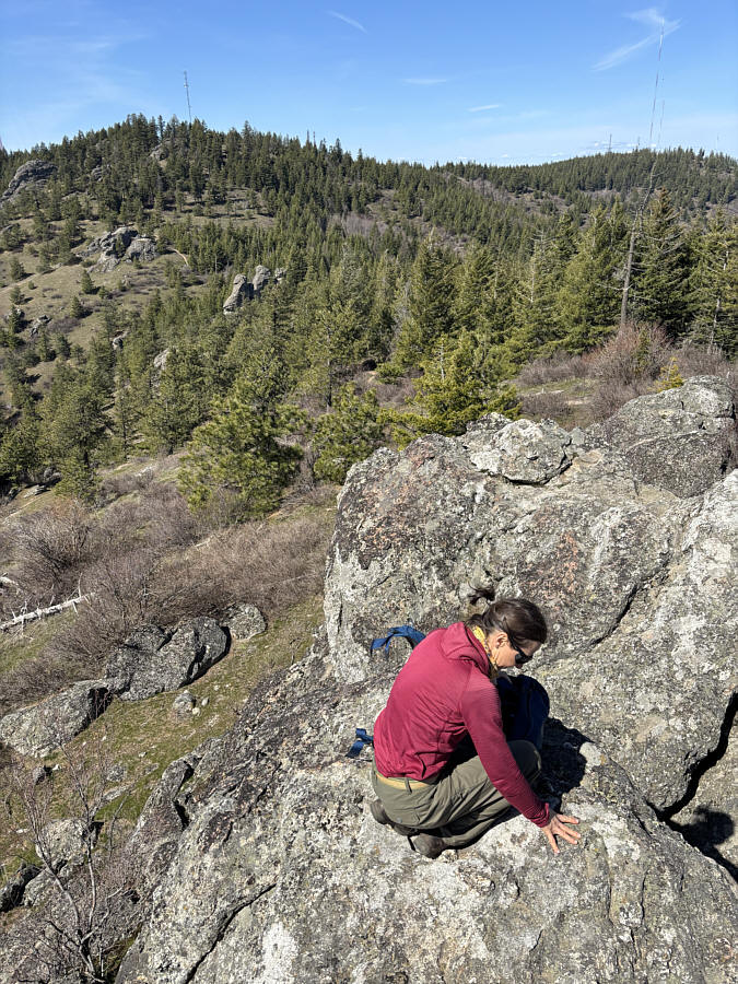
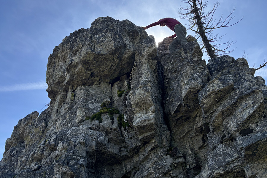
Zosia scrambles up one of two rock outcrops that are potentially the highest points of Rocks Of Sharon. |
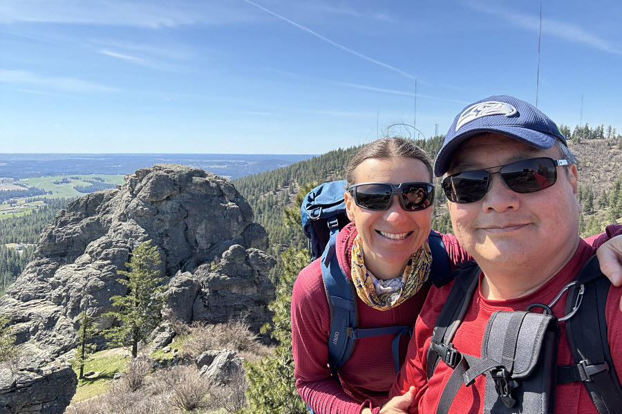 |
Zosia and Sonny pose for a selfie on top of the westernmost rock outcrop (RS1; 1088 metres). Behind them are Big Rock and Krell Hill. |
 |
Zosia takes her time to down-climb RS1. |
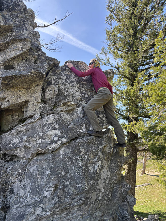 |
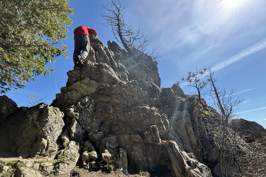
Zosia scrambles up the second rock outcrop (RS2). |
 |
Zosia is nearly at the top of RS2. |
 |
Zosia relaxes on a slightly lower rock in this view from RS2's high point (1089 metres). RS1 and Big Rock can be seen in the background at right. |
 |
Sonny carefully down-climbs RS2. |
 |
Zosia begins to make her way over to Krell Hill. |
 |
The top of Krell Hill is mostly flat and rather uninteresting. |
 |
Sonny and Zosia stand at a small clearing on Krell Hill with a view of Rocks Of Sharon. |
 |
Sonny stands near the true high point
of Krell Hill (KH3; 1121 metres). Photo courtesy of Zosia Zgolak |
 |
Zosia stops to admire Big Rock one last time before descending back to the trailhead. |
 |
Total Distance: 7.3 kilometres Round-Trip Time: 5 hours 10 minutes Cumulative Elevation Gain: 290 metres |