BOU AVENUE
Big Bend Peak
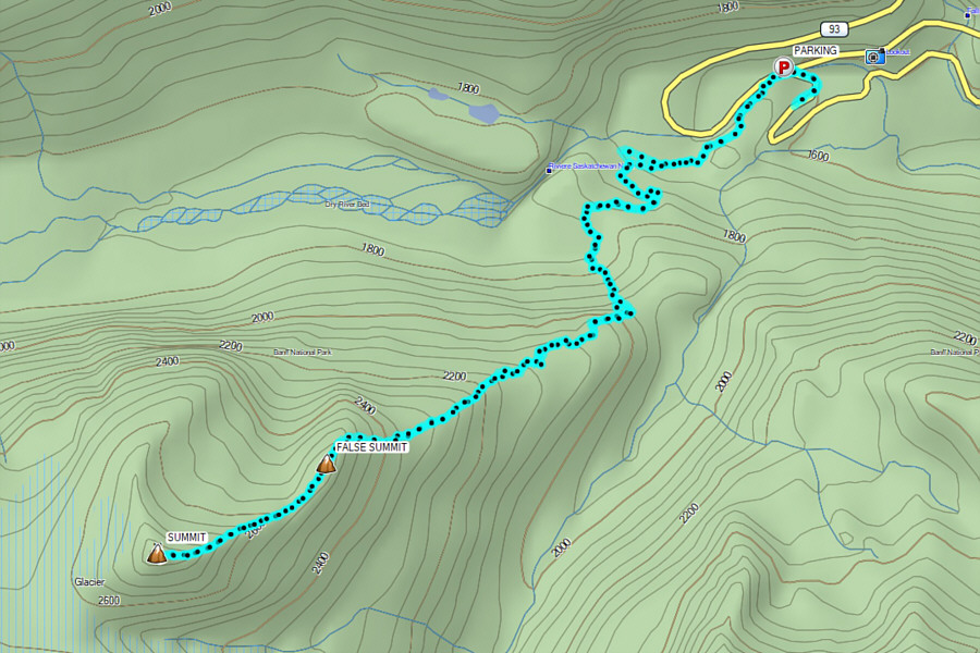
Zosia Zgolak and I climbed unofficially-named "Big Bend Peak" in Alberta's Banff National Park on 15 August 2026.  Joining us was our friend, Eva, who also drove all of us out to the trailhead (52.17255, -117.06419) which is where a deactivated section of the Icefields Parkway (Highway 93) crosses North Saskatchewan River on an old bridge.  First brought to the attention of the Internet by local legend Graeme Pole, Big Bend Peak was popularized by Andrew Nugara after his ascent with his brother in 2008 followed by the subsequent inclusion in his guidebooks, Snowshoeing in the Canadian Rockies and More Scrambles in the Canadian Rockies.  Since then, the peak has seen fairly regular visits by peak-baggers seeking a technically easy ascent with mind-blowing scenery.

Right off the bat, Eva, Zosia and I made a route-finding error when we walked too far along the deactivated highway past the bridge.  Fortunately, we caught our error early and simply backtracked to the bridge where we found the correct unmarked trail heading into forest.  After a brief hike along the south bank of the river, we crossed a large open flat and picked up an old exploration road in the forest on the far side.  We followed this road past some deadfall and over a low ridge to an open avalanche slope on the north side of Big Bend Peak's east ridge.  Abandoning the road at a cairn, we grinded our way up the very steep avalanche slope along numerous beaten paths.  Once we gained the east ridge, the angle of ascent relaxed a bit, and we followed an intermittent trail through thinning forest.  We eventually broke out of the forest and carried on up the open east ridge.  Other than one rather tedious scree slope below a false summit, the remainder of the ascent was straightforward and enjoyable.  Any technical sections we encountered along the ridge were easily circumvented.  Upon reaching the top, we paused for a quick photo before dropping slightly down the west side of the summit to take a break.

For our descent, Eva, Zosia and I basically retraced our steps down the mountain.  Below the false summit, we were careful to avoid some short cliffs that cut across the aforementioned tedious scree slope, and further down in the forested part of the ridge, we nearly missed the spot where we had to leave the crest and descend the avalanche slope.  The worst aspect about descending the avalanche slope is the looseness of the terrain, but we managed to get down to the exploration road without kicking rocks onto each other.  The rest of the hike back to the trailhead was easy and trouble-free.

A big thank you goes to Eva for driving us safely to the mountains and back.
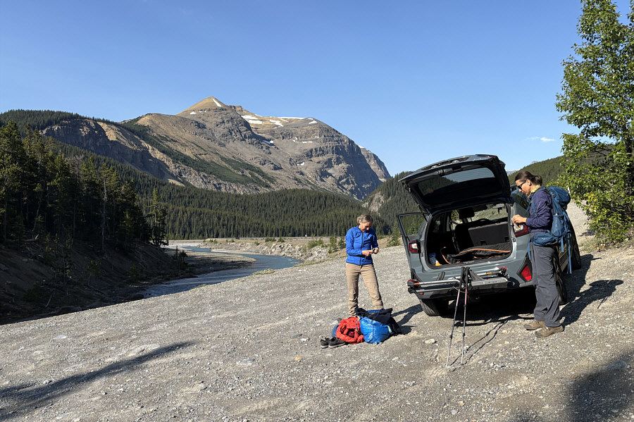
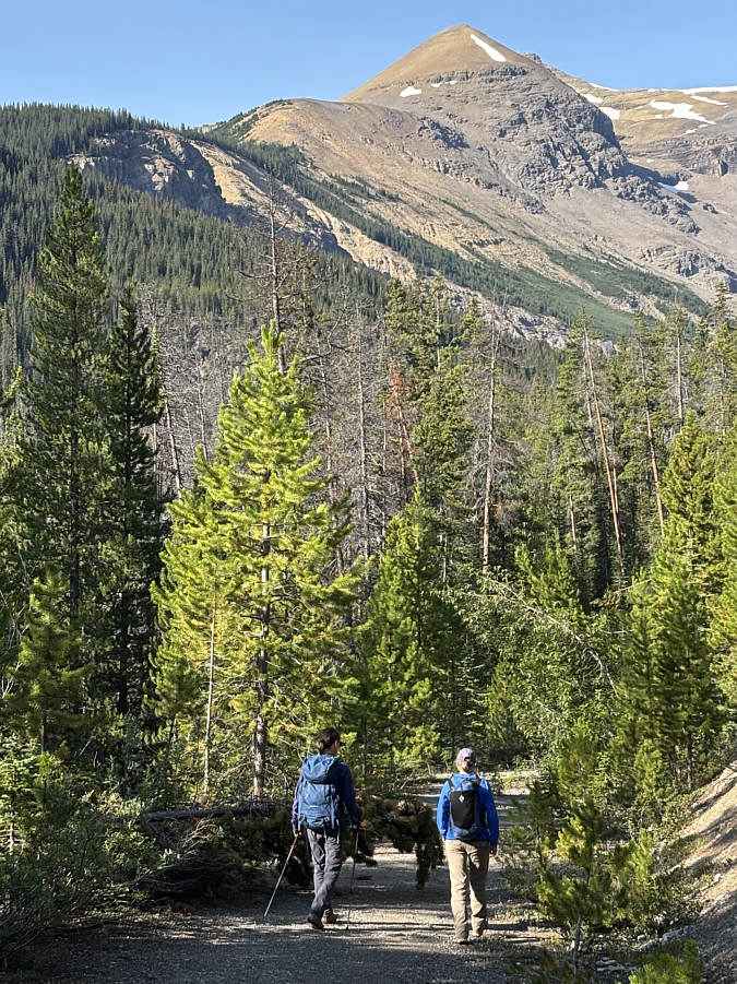
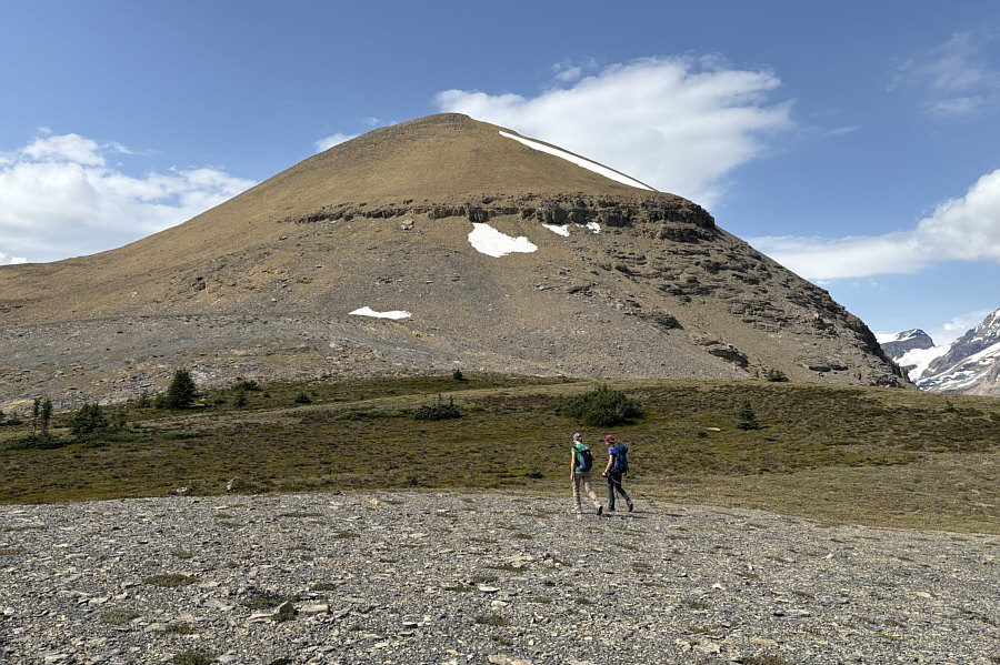
Kinda tricky driving into this parking area... Eva and Zosia gear up at the trailhead with "Big Bend Peak" visible in the background.
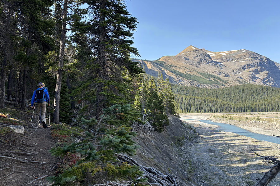
Actually, we maybe could have taken a bushy short cut just a little further down the road...maybe... Zosia and Eva have already inadvertently missed the normal turnoff for Big Bend Peak and are walking along an old deactivated section of the Icefields Parkway.
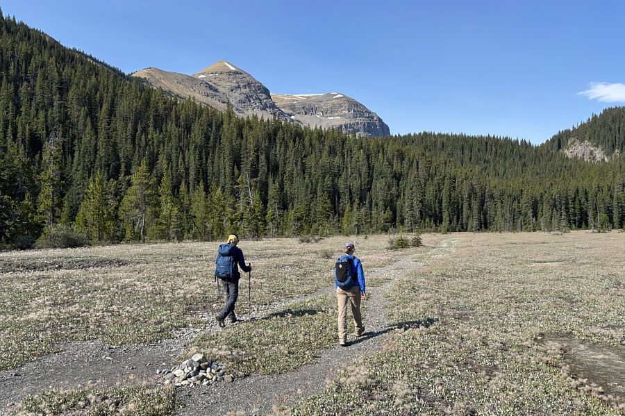
This is the way. Eva and Zosia get back on track.
The trail in the forest needs some chainsaw maintenance! The trail here eventually connects with an old exploration road that goes over the forested ridge ahead.
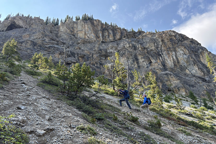
Now the real climbing begins! Zosia and Eva leave the exploration road at the foot of this avalanche slope.
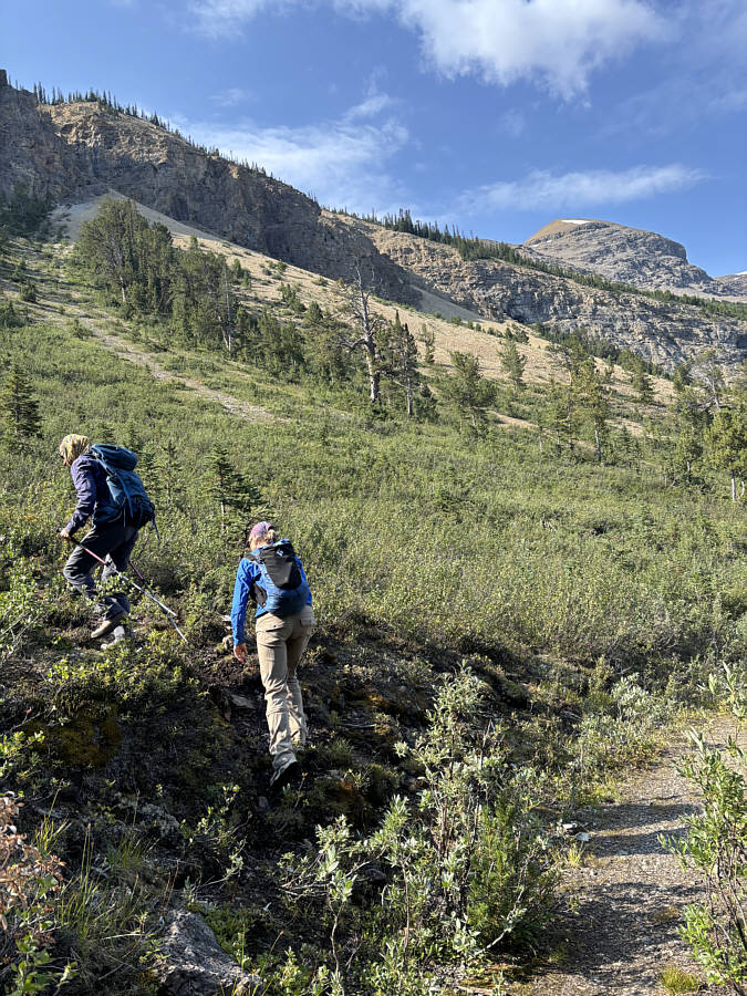
Crazy steep here! Beaten paths and sheep trails alleviate some of the drudgery of ascending the avalanche slope.
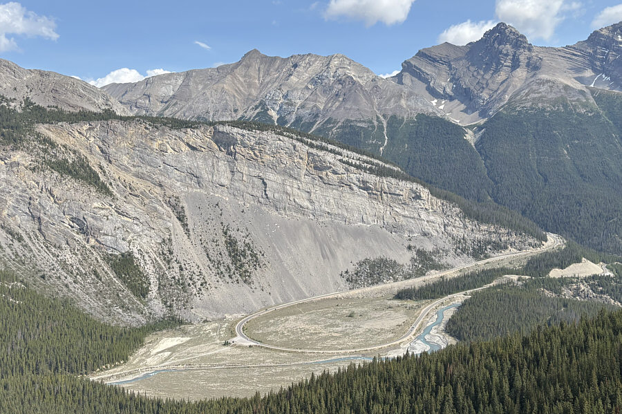
Looks like a big pickle ball paddle! Here is a look back down at the "Big Bend" in the Icefields Parkway.
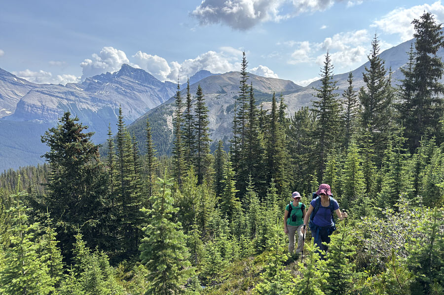
Light bushwhacking here. Eva and Zosia navigate through a forested section of the ridge.
No more bushwhacking...for now! Eva and Zosia finally break out of the trees for good.
Good place to take a breather...or go to the bathroom behind a bush! The ladies cross a plateau before a false summit.
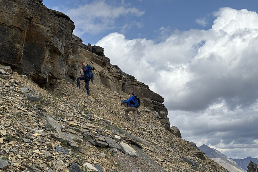
But the cliff band can be entirely circumvented. A short cliff band halfway up the false summit presents some route-finding challenges.
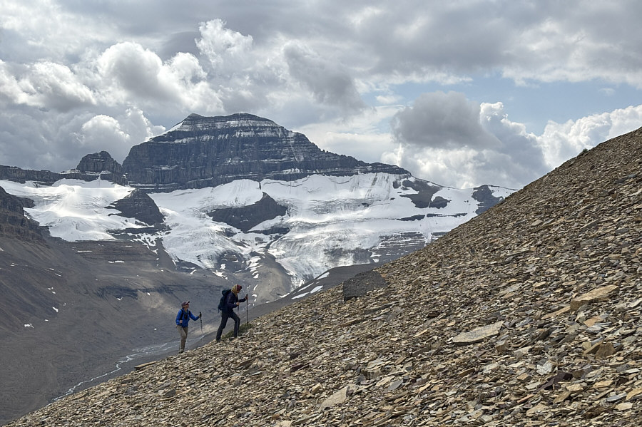
A most impressive-looking mountain. Mount Saskatchewan dominates the background as Eva and Zosia grind their way up the slope.
Another ~250 metres of elevation gain left from here. The true summit finally comes into view.
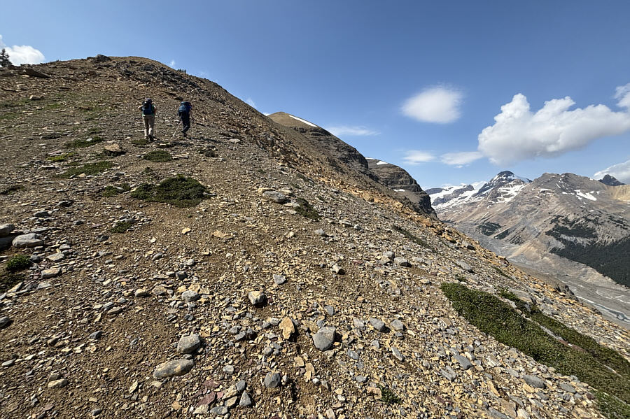
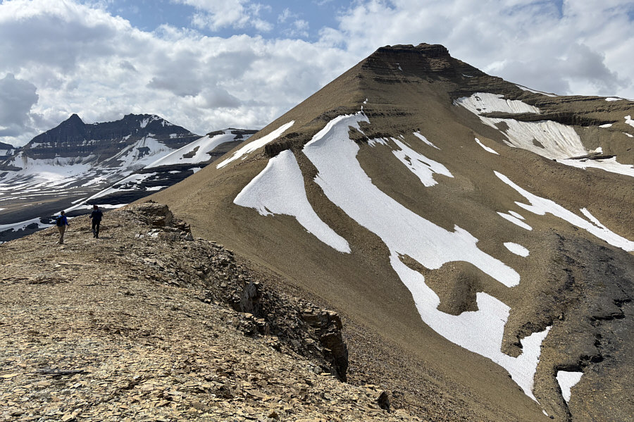
Nothing tricky here--just a straightforward ridge walk! Eva and Zosia pause just below the summit ridge.
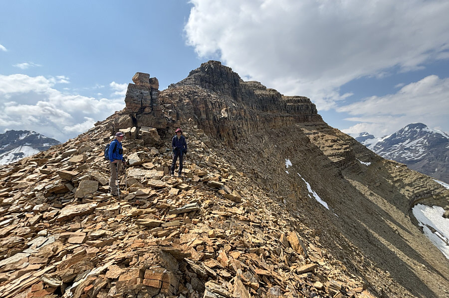
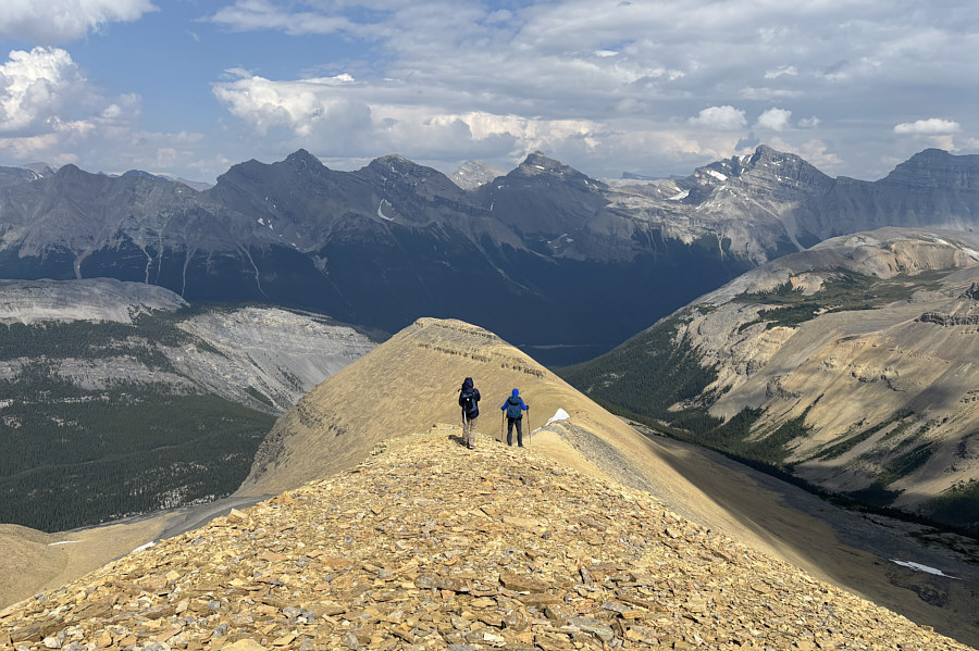
No drop-offs or surprise cruxes--just a pleasant way to finish the ascent. Eva and Zosia walk along the easy summit ridge.
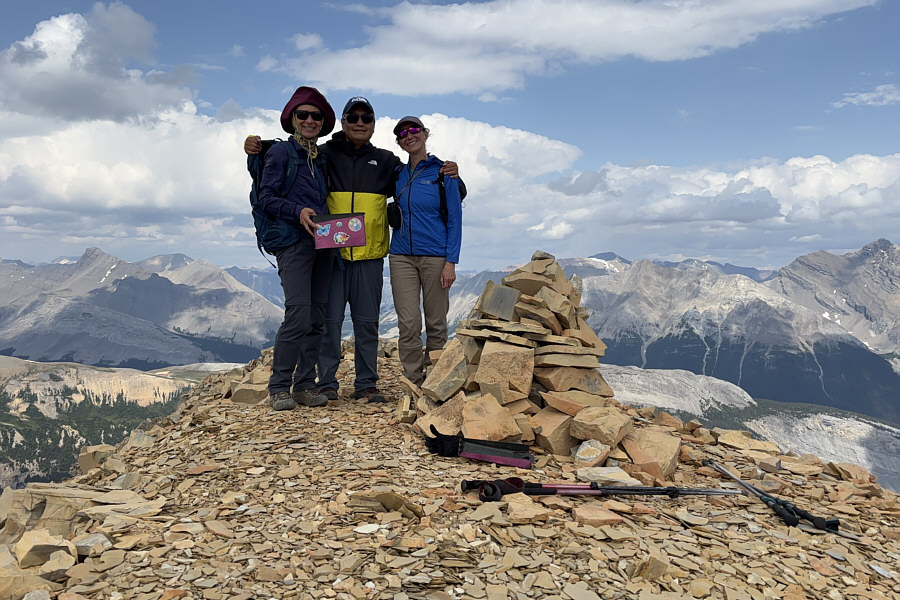
Sadly, there is no more Fireball whiskey in the pink ammo box! Zosia, Sonny and Eva stand on the summit of Big Bend Peak (2822 metres).
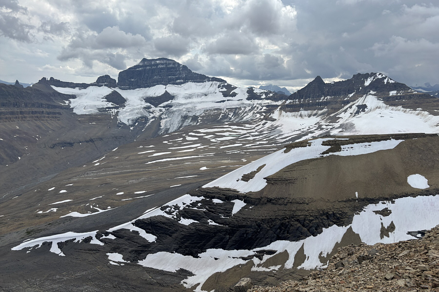
The basin would be wild to visit! Once again, Mount Saskatchewan dominates the view to the south.

And Mount Columbia is hiding in the clouds at far left!

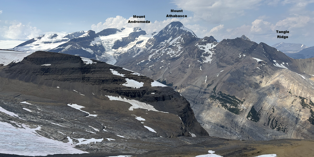
Here is the view to the northwest.


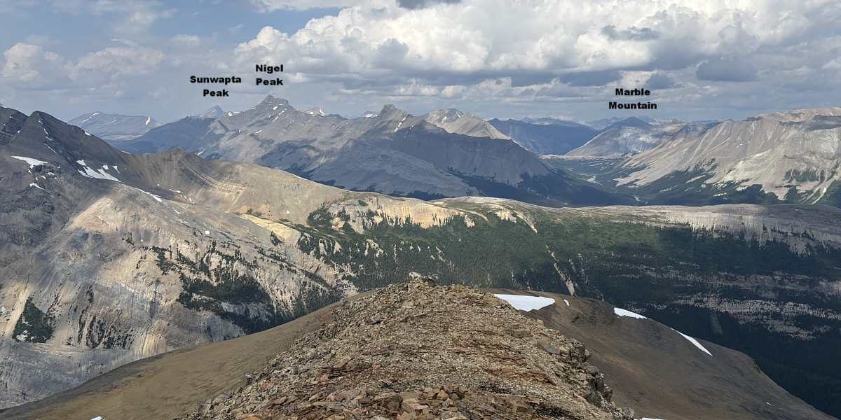
Strange that Wilcox Pass is so much closer to Nigel Peak than Nigel Pass!

In this view to the north, Nigel Pass is the obvious gap at right while Wilcox Pass is less obvious at far left.
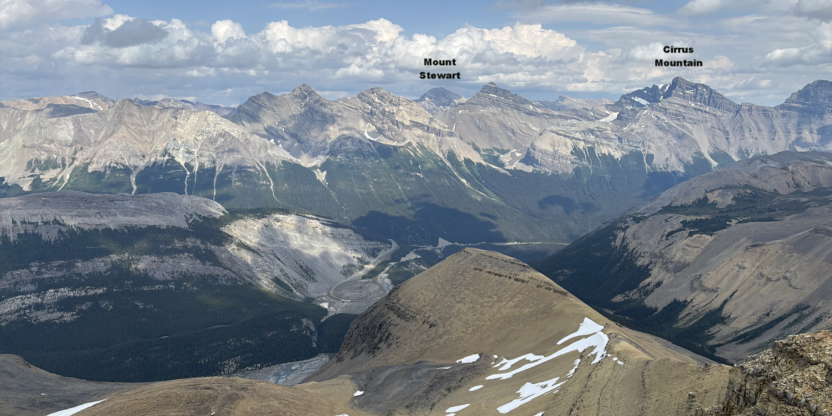
 

And you can even see the trailhead parking area from here.

The view to the northeast includes the Big Bend in the highway and Big Bend Peak's false summit.
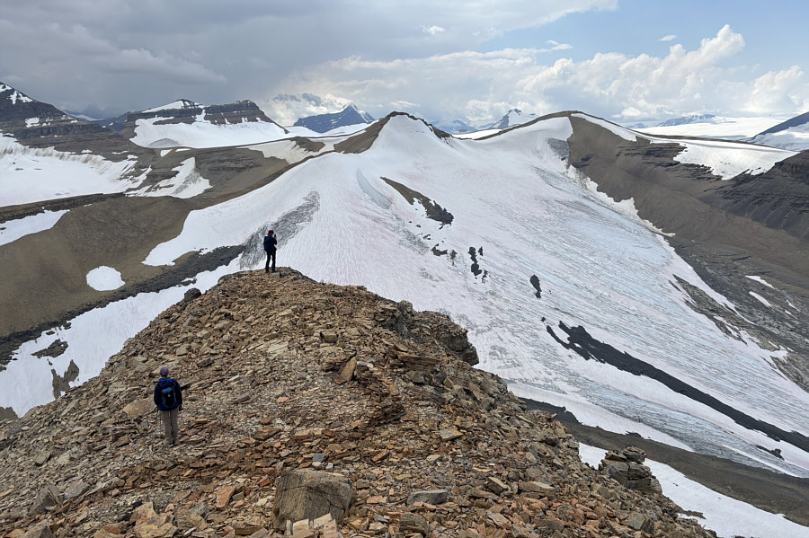
 

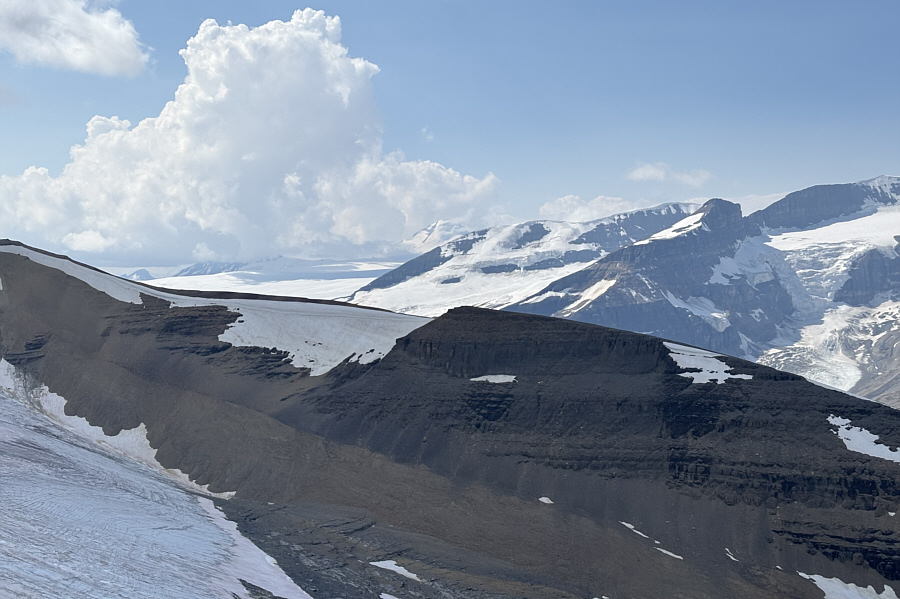
Still some good skiing here in August? Looking southwest, the glaciated high point at centre is known unofficially as "Mount Saskatchewan Junior".  Also visible on the horizon left of centre is Mount Bryce.
I can safely say that I will never set foot on Mount Columbia. Over 22 kilometres away to the west, Mount Columbia (centre) finally makes an appearance as the clouds begin to clear up over the Columbia Icefield.
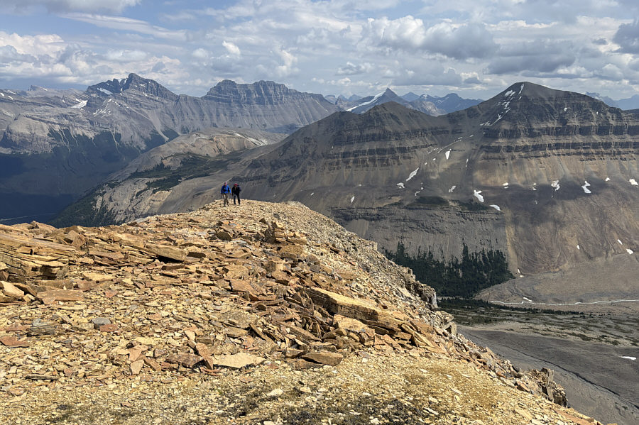
It will be at least another 3 hours before we get back to Eva's car from here. Eva and Zosia retrace their steps down the mountain.
Should be on every peak-bagger's must-do list! Total Distance:  14.0 kilometres
Round-Trip Time:  9 hours
Cumulative Elevation Gain:  1161 metres

GPX Data