 |
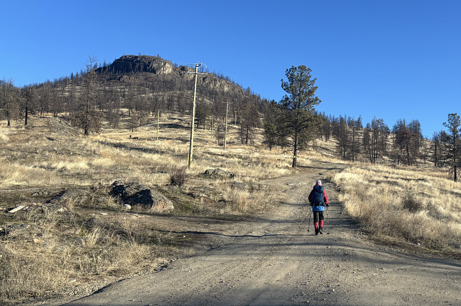
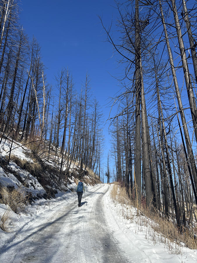
Zosia hikes up Blue Grouse Mountain Road. The bump that is visible at left is a false summit. |
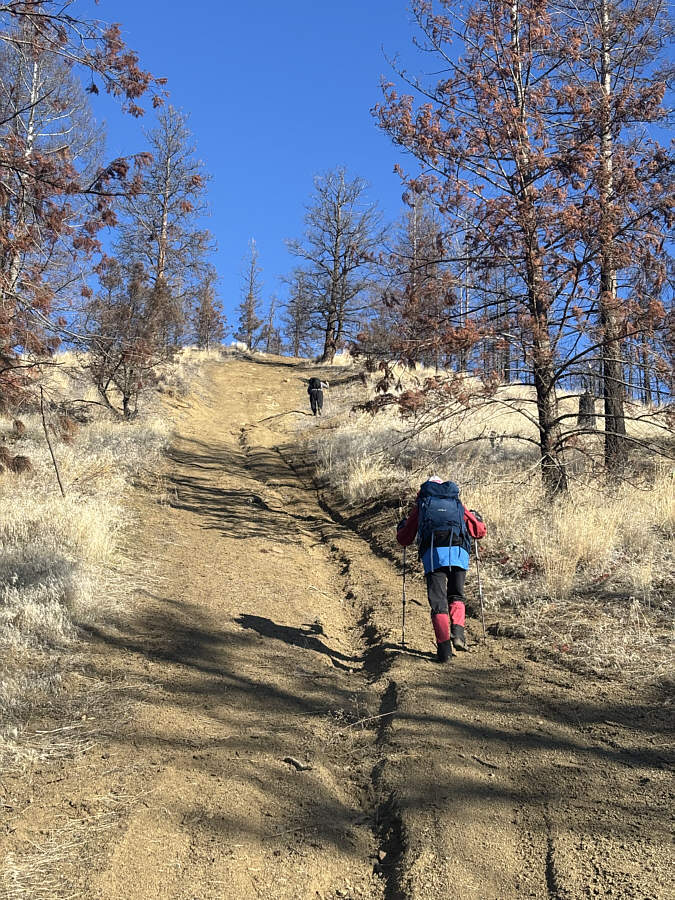 |
Zosia follows another hiker up a very steep short cut. |
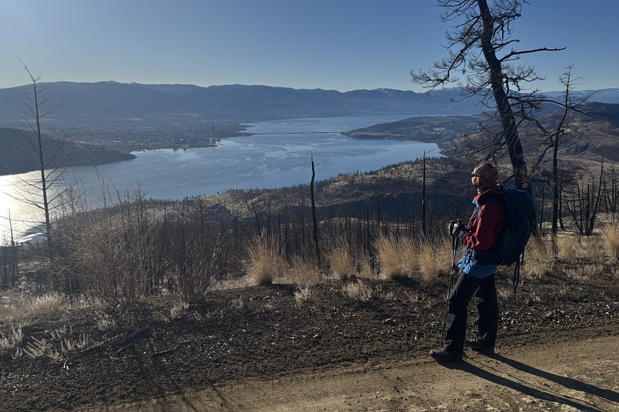 |
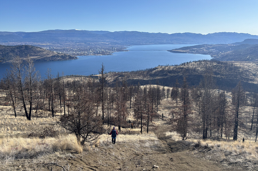
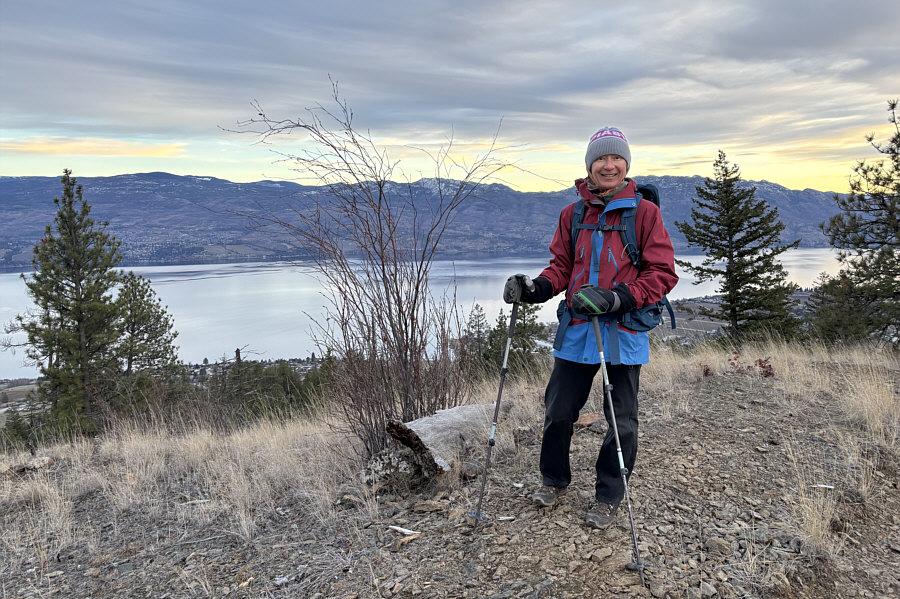
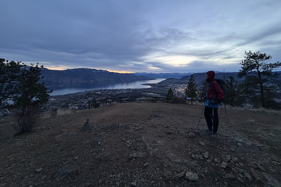
After regaining the road, Zosia pauses to enjoy the view of Kelowna across Okanagan Lake. |
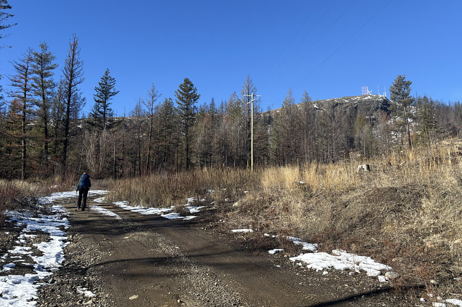 |
The top of Blue Grouse Mountain finally comes into sight. |
 |
The last section of road before the top is icy. |
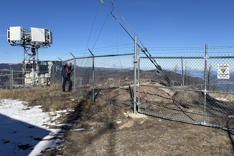 |
Zosia gets as close as she legally can (1291 metres) to the true summit of Blue Grouse Mountain. |
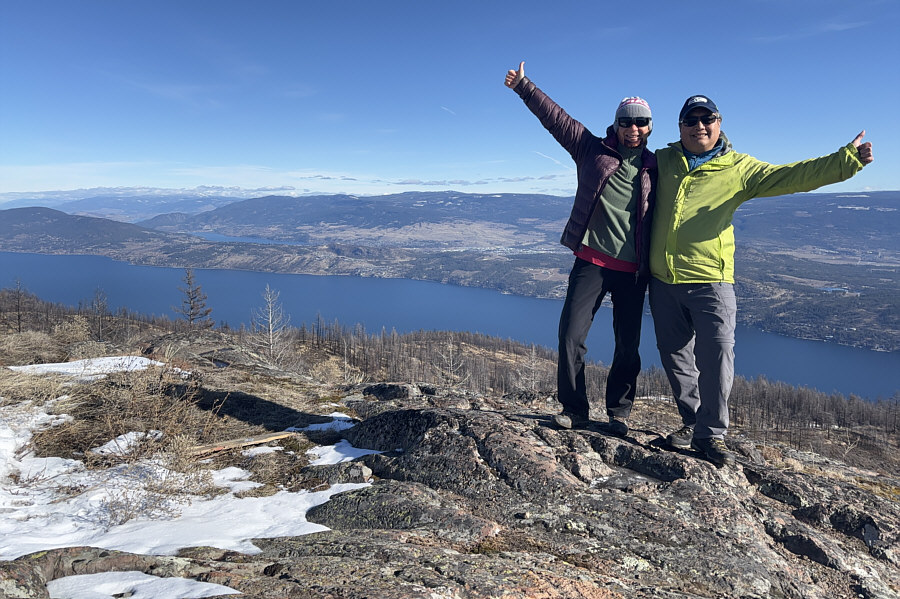 |
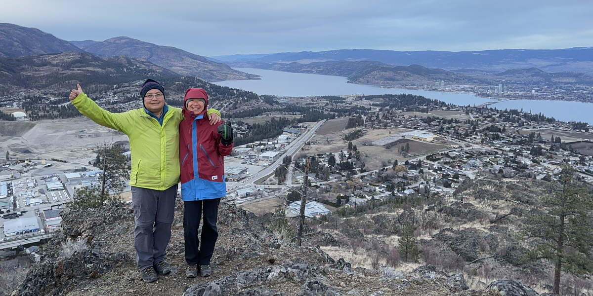
Zosia and Sonny give thumbs up to the far-reaching views from near the top of Blue Grouse Mountain. |
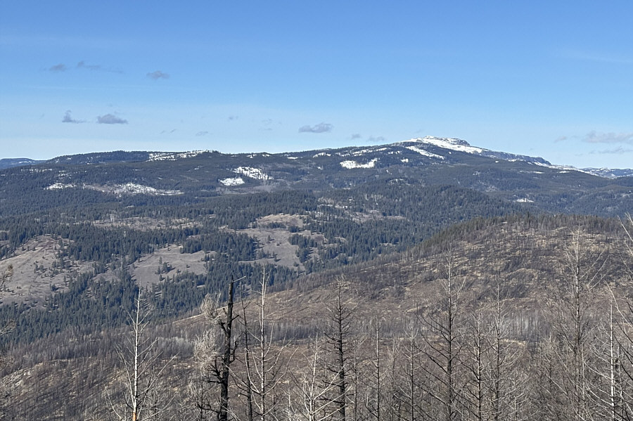 |
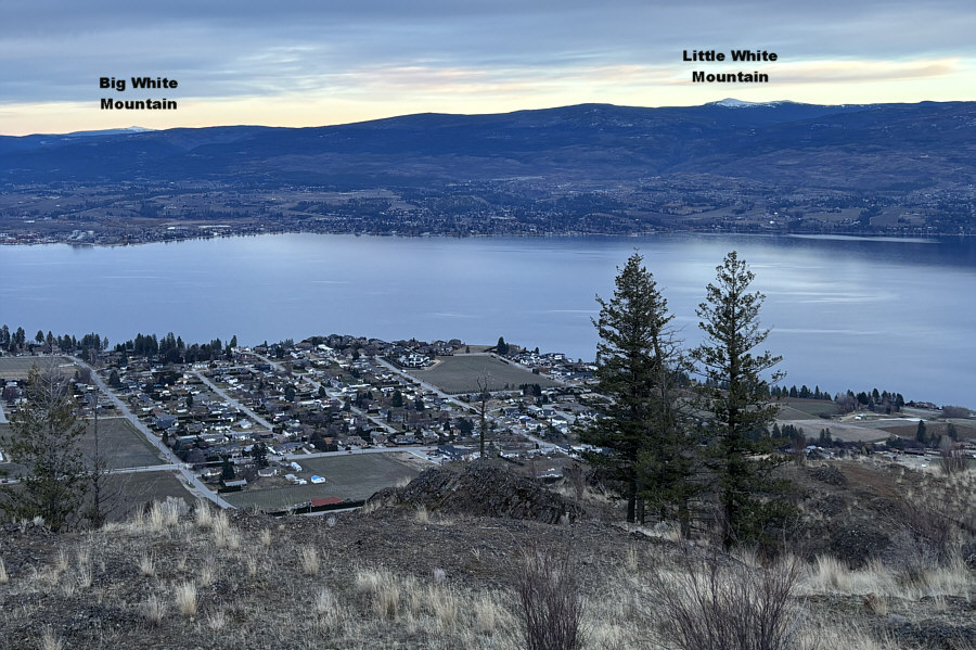
Standing out to the north is Terrace Mountain. |
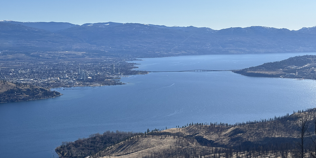
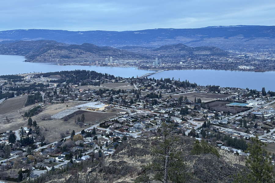
Here is a closer look at Kelowna and William R. Bennett Bridge.
 |
Zosia drops down the short cut near the start of the hike. |
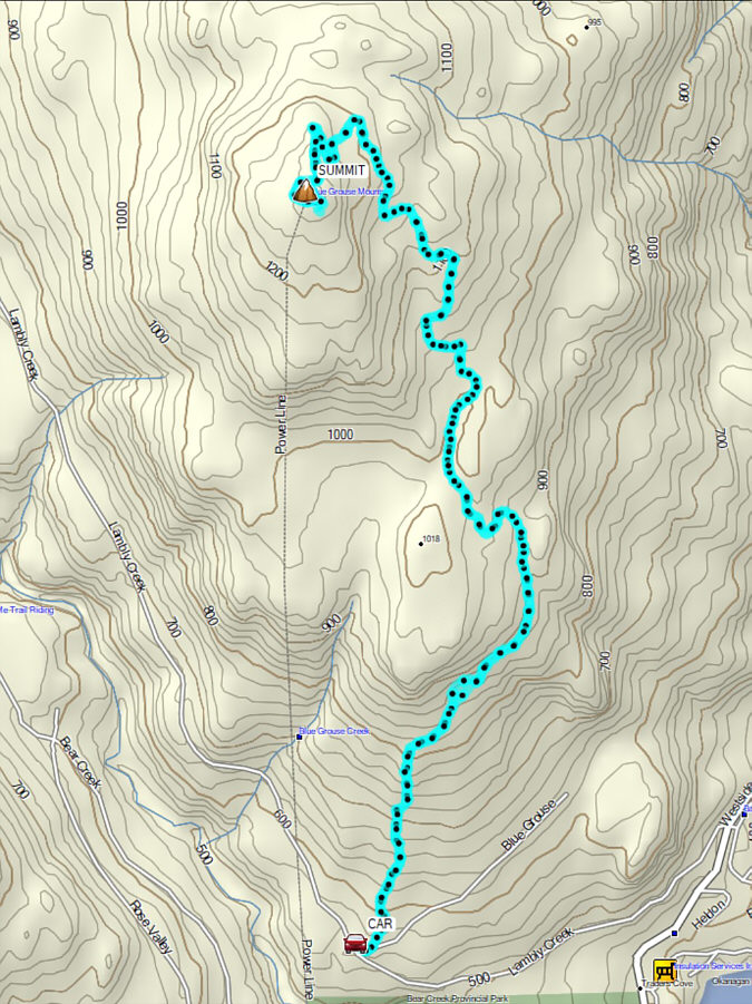 |
Total Distance: 13.1 kilometres Round-Trip Time: 5 hours 38 minutes Cumulative Elevation Gain: 706 metres |
Zosia and I chose the trailhead (49.84964, -119.58007) located on the north side of Cabernet Way. There is a large parking lot here, but unsure if the entrance gate would be closed at dusk, we chose to just park on the street. From there, we started up an unsigned trail running behind some private residences and eventually grinded up the south side of the mountain. At a split near the crest of the summit ridge, we followed the right-hand trail without difficulty all the way to the scenic east (true) summit.
With daylight waning, Zosia and I managed to backtrack and then tag the lower west summit before descending the same trail we came up. Near the bottom, we took a slightly different route by descending directly to Cabernet Way before walking back to our car along the sidewalk. As we departed for our hotel well after sunset, we noticed that the entrance gate was still open.
 |
Zosia begins her hike up Mount Boucherie from this parking lot along Cabernet Way. |
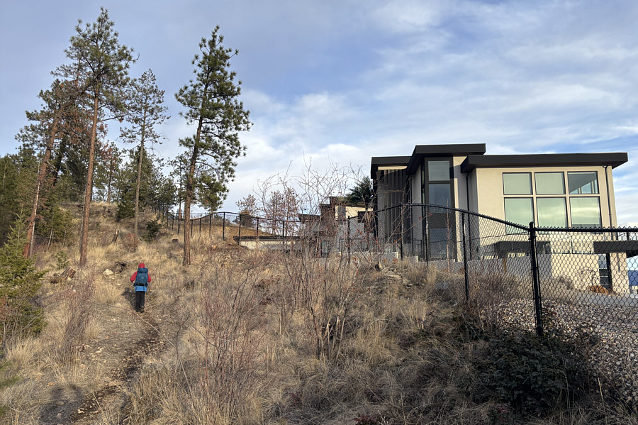 |
The trail goes behind some impressive private residences. |
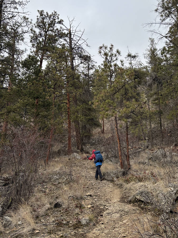 |
The trail going up the south side of Mount Boucherie is a short but steep grind. |
 |
Zosia stands on the gazetted summit (760 metres) of Mount Boucherie. |
 |
Zosia stands on the east (true) summit (761 metres) of Mount Boucherie. |
The view from the east summit includes Blue Grouse Mountain (left) and the city of Kelowna (far right).
 |
Here is another look at Kelowna and William R. Bennett Bridge. |
 |
The view to the southeast includes a couple of snowy mountains on the horizon. |
 |
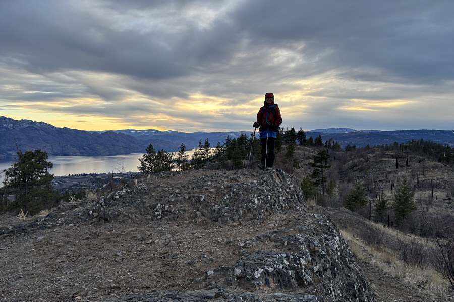
Zosia arrives at the lower west summit (757 metres) of Mount Boucherie just after sunset. |
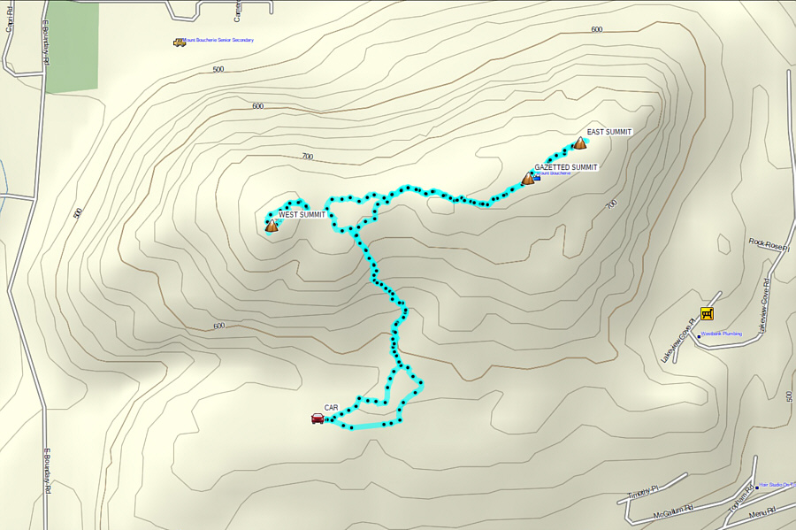 |
Total Distance: 3.7 kilometres Round-Trip Time: 1 hour 39 minutes Cumulative Elevation Gain: 190 metres |