BOU AVENUE
Mount Bonaparte
Zosia Zgolak and I paid a long-overdue visit to Mount Bonaparte on 23 July 2026.  Located about 24 kilometres northeast of Tonasket, Washington, the mountain is the high point of the South Okanogan Highlands, and with a prominence of over 3500 feet, it holds a commanding view of the surrounding region.  Conversely, the mountain can be seen from many vantage points in the Boundary Country of southern British Columbia which is where it first caught my eye.  An active fire lookout tower sits atop the mountain, and is easily accessed by an excellent trail and a relatively good road.

From US Highway 97 in Tonasket, turn east onto Jonothan Street which becomes Havillah Road outside of town.  Drive 25.5 kilometres to the community of Havillah and turn right onto West Lost Lake Road (the pavement eventually ends somewhere here and becomes 2WD gravel).  Drive 1.4 kilometres to a T-intersection and turn right (south).   Drive 290 metres and bend left (east).  Continue for 5.1 kilometres and turn right (south) onto Forestry Road 300 (just before this junction, there is a pullout with a vault toilet to the north which would be a nice campsite).  Drive 4.0 kilometres to the trailhead beside a large pullout.  Park here.

Starting at the trailhead, Zosia and I simply followed the well-maintained trail all the way up the mountain.  There are a few signed junctions with side trails along the way, but we did not bother with any of them and just stuck to the main trail.  The climb was steady but never too steep.  Although we had already been hiking for a few days under a haze from wildfire smoke, this trip was the first time we could noticeably smell the smoke.  Fortunately, neither Zosia nor I are particularly sensitive, and the smoky air did not hinder our upward progress.  Disappointingly, far-reaching views from the top of the mountain were mostly obscured on this day, and it is ironic that we found ourselves at an active fire lookout tower on the smokiest day so far of our summer road trip.

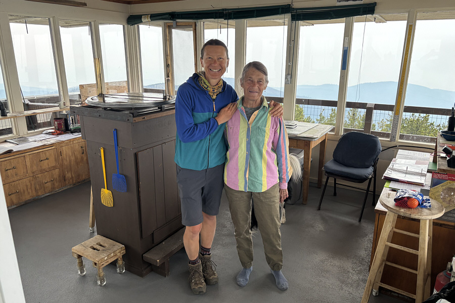
Zosia and I met the fire lookout, Diana, who invited us inside the lookout tower to sign a guest book.  Diana is an 83-year old local resident who volunteers her time to work as a fire lookout on Mount Bonaparte, and she still regularly hikes up and down the main trail with an external-frame backpack.  We had a nice long chat with her before leaving to let her greet another group of hikers that arrived after us.

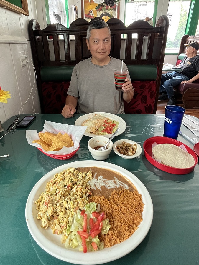
After stopping for a break a short distance away from the lookout tower, Zosia and I waved goodbye to Diana before retracing our steps uneventfully down the mountain.  Upon returning to our car, we drove a different way out from Havillah and eventually ended up in the city of Oroville where we treated ourselves to a nice lunch at Trino's Mexican Restaurant.
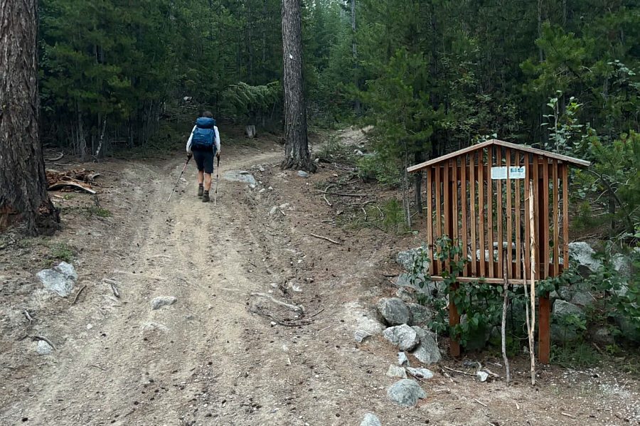
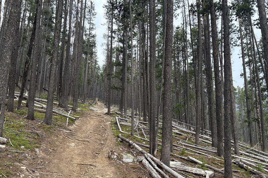
The dust goes well with all the smoke! Zosia starts hiking up Mount Bonaparte on a dusty trail.
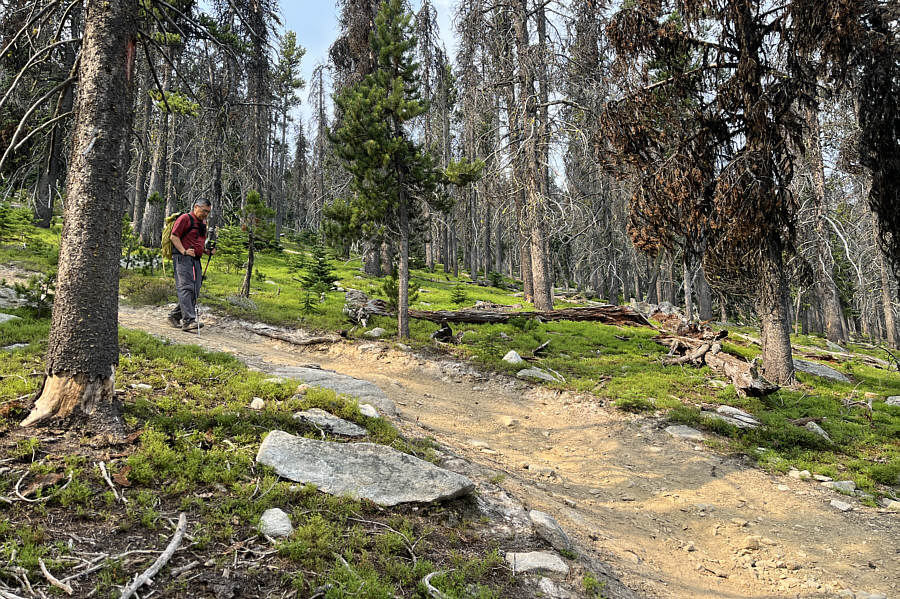
The Bonaparte Grind. Most of the ascent is simply a steady climb up a wide forested trail.
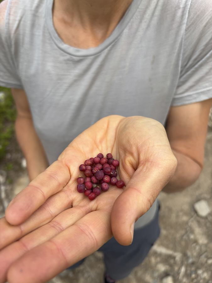
Still good enough to eat! Zosia finds a few barely-ripe huckleberries.
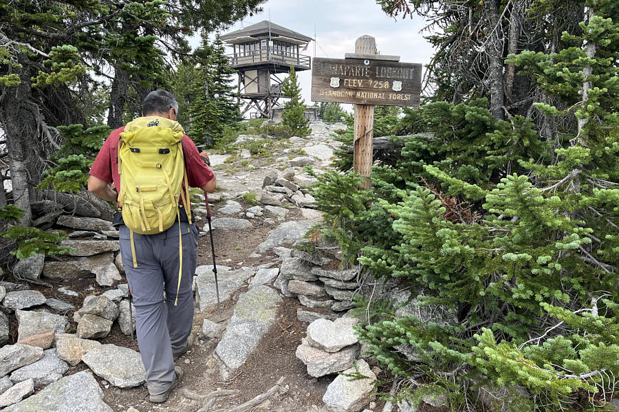
Took us less than 2.5 hours to get up. Sonny approaches the fire lookout tower atop Mount Bonaparte (2214 metres).

Photo courtesy of Zosia Zgolak

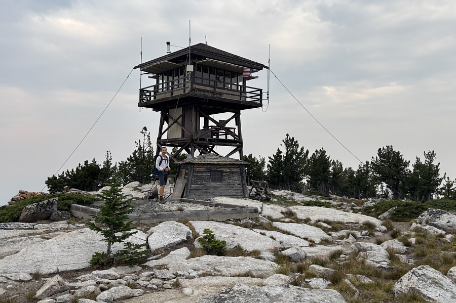
There's a toilet nearby, and camping is apparently allowed here. The present tower was built in 1961 but fixed up as recently as 2025.  Zosia is standing on the foundation of another tower that was built in 1930 but has since been removed.
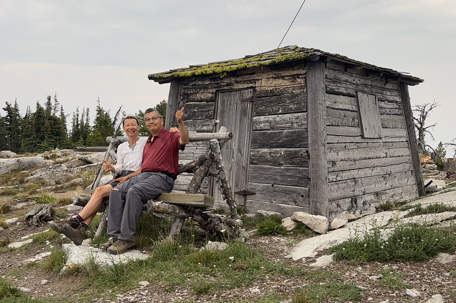
Still in good shape for a 112-year old building! Built in 1914, the first fire lookout tower on Mount Bonaparte was comprised of this cabin and an observation platform situated directly above it.  The platform is now gone, but the cabin remains and is a designated historic site.
Don't look at or speak to her dog! Zosia embraces Diana, a local resident who works here as a volunteer fire lookout.
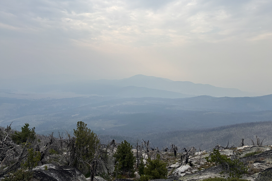
On a clear day, you should be able to see Moses Mountain on the right horizon from here. With all the wildfire smoke, Mount Annie (centre) is about the only recognizable peak to the south.
Took us less than 1.5 hours to get down. Sonny retraces his steps down the same trail.

Photo courtesy of Zosia Zgolak

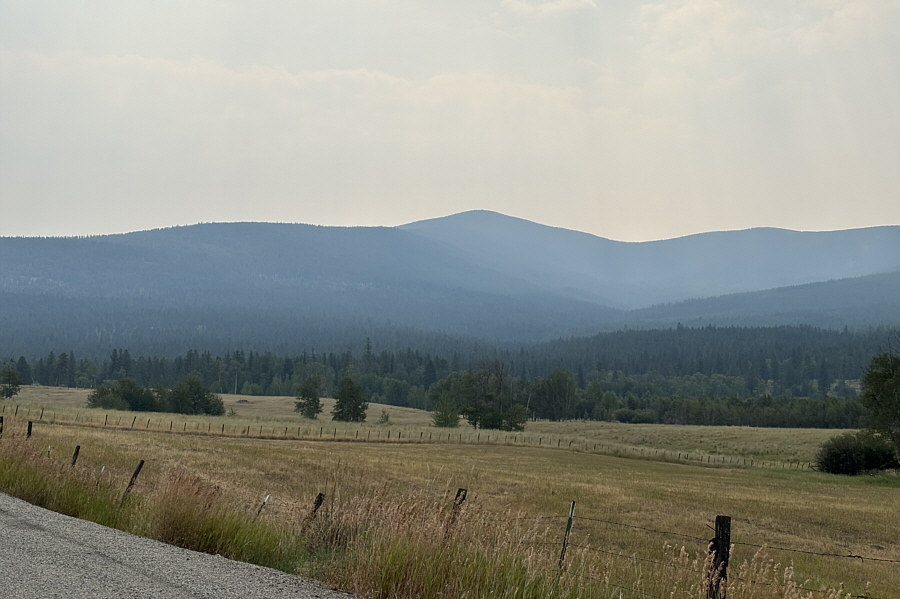
We'll see you again...from some other peaks! Here is a last look at Mount Bonaparte from the valley to the northwest.
¡Buen provecho! Sonny is about to enjoy a delicious lunch at Trino's Mexican Restaurant in Oroville.

Photo courtesy of Zosia Zgolak

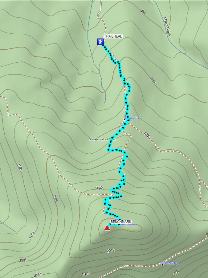
Nice hike...shame about the smoke! Total Distance:  9.6 kilometres
Round-Trip Time:  4 hours 54 minutes
Cumulative Elevation Gain:  666 metres

GPX Data