BOU AVENUE
Bunch Grass Hill
On 3 July 2026, Zosia Zgolak and I hiked up
Bunch Grass Hill located at the confluence of Granby River and Burrell
Creek about 34 kilometres north of Grand Forks, British Columbia.
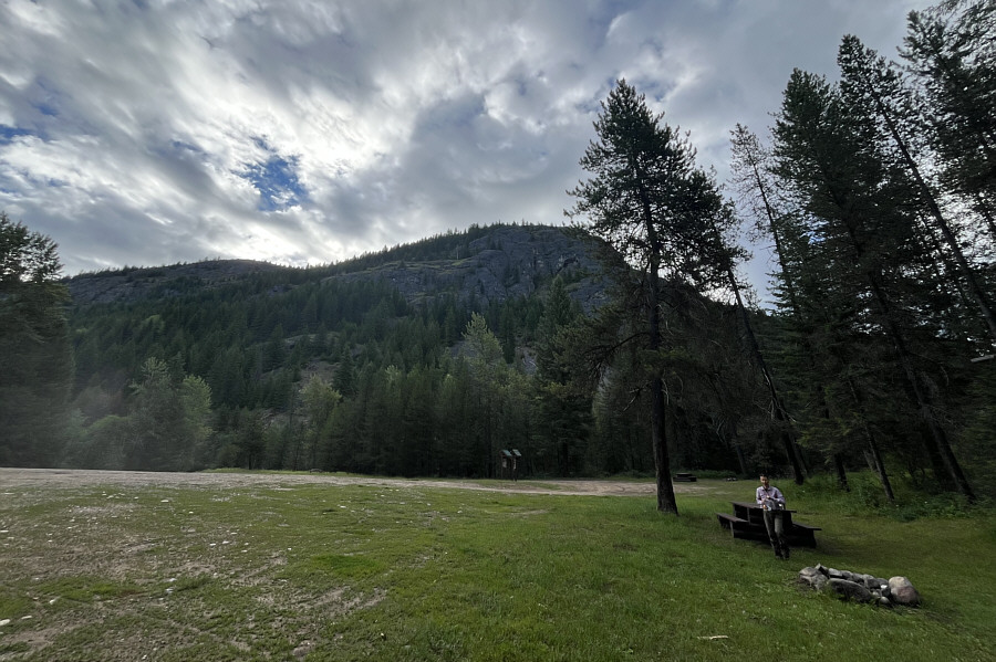
We first took notice of this hill and its spectacular western cliffs
while camping at nearby Granby-Burrell Creek Recreation Site last summer,
and given the hill's official status and its close proximity to a good
road, I was curious as to why there was no online information about it
even on peakbagger.com.
Studying satellite imagery, I discovered what appears to be an ATV road
running up the hill's south ridge which is confirmed only by the BC
Basemap (and only if zoomed in close enough making the ATV road easy to
miss at first glance). Armed with this extra knowledge, I felt confident about
tagging this officially-named high point.
From Highway 3 in Grand Forks, turn north
onto Northfork-Franklin Road just west of the McDonald's restaurant.
Drive north for 16.0 kilometres and cross a bridge to the east side of
Granby River. Continue driving north for 25.7 kilometres and veer
right onto Bunchgrass-Wiseman Forest Service Road (2WD gravel).
Drive 760 metres to where the road takes a sharp bend to the right (east).
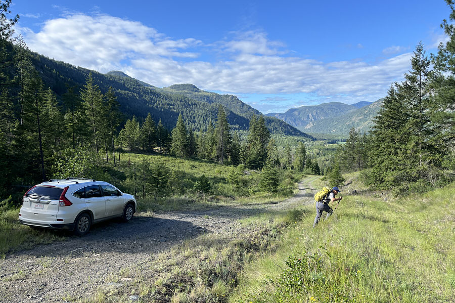
Either park here, or continue driving on the road to a split 100 metres
further. Keep left and go up a steep hill--the road is rougher
here--for another 550 metres to the start of a faint ATV road branching
off to the left. The short drive from the highway to this spot is
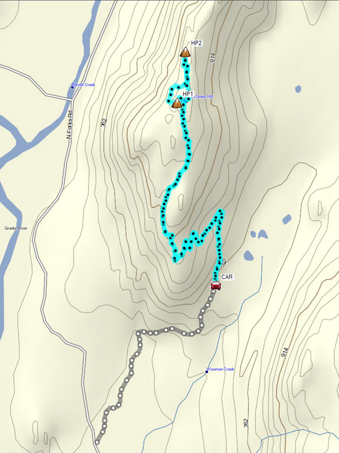
included in my GPS track at the end of this report.
The ATV road was a bit overgrown as Zosia
and I started up the initial section, but it quickly became more
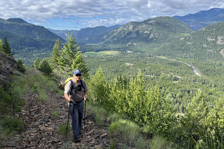
well-defined as we proceeded further uphill. The road makes about
half a dozen switchbacks up the southeastern flank of the hill before
winding around to the west side of the south ridge. We easily followed the road all the way up to the rocky high point where we found
remnants of a long-removed fire lookout. That would explain the
existence of the ATV road. Although the rocky top is open, much of
the surrounding views are partially blocked by trees. Hoping for better
views, we dropped slightly down the west side of the high point to an
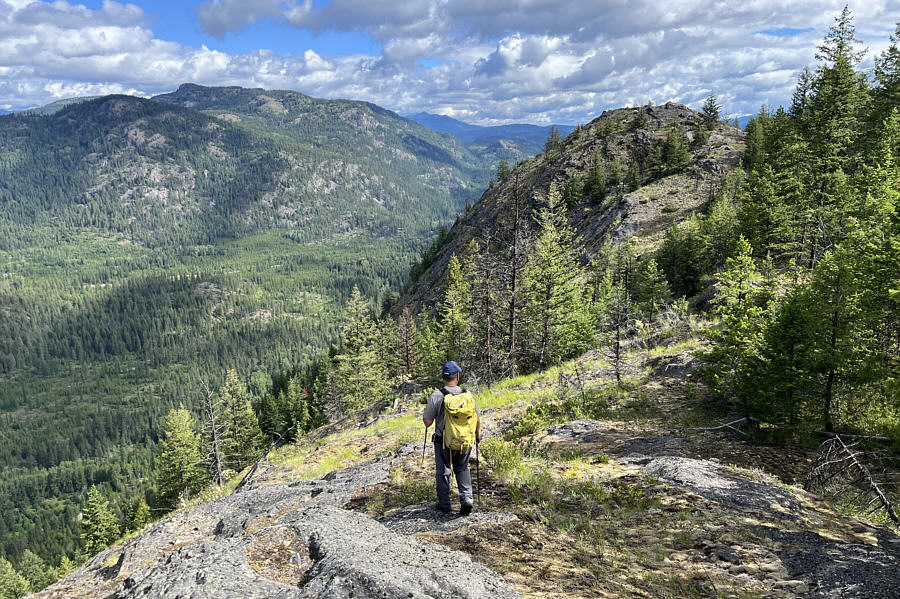
open bench. Here, Zosia spotted a subsidiary bump to the north that
appeared to be much more open. Getting there directly
from the bench was a little tricky, and we had to bushwhack a bit to
gain the crest of the north ridge where we stumbled onto a faint but
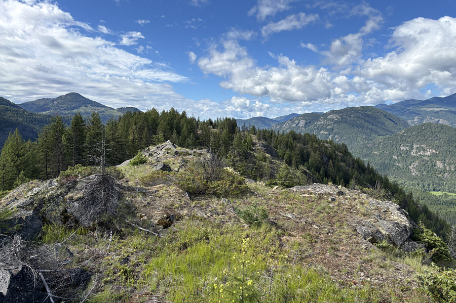
distinct trail leading to the bump. As it turned out, the
subsidiary bump is only marginally lower than the high point, but as
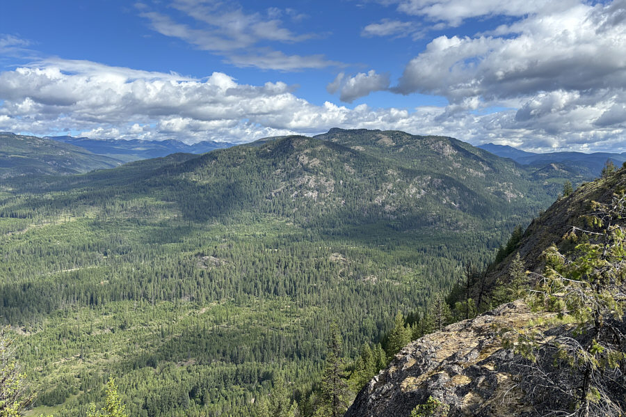
anticipated, the views were much better there.
After taking a short break on the
subsidiary bump, Zosia and I backtracked along the trail and eventually
re-connected with the ATV road near the high point. The ensuing
descent of the road was very straightforward, and we also had no trouble
driving back out to the paved highway.
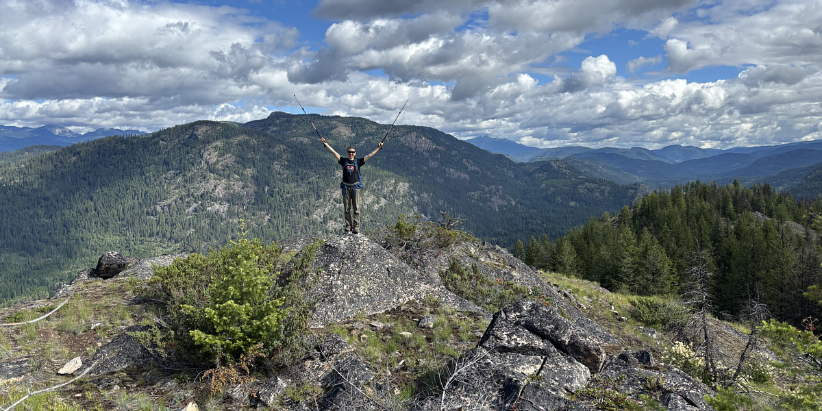
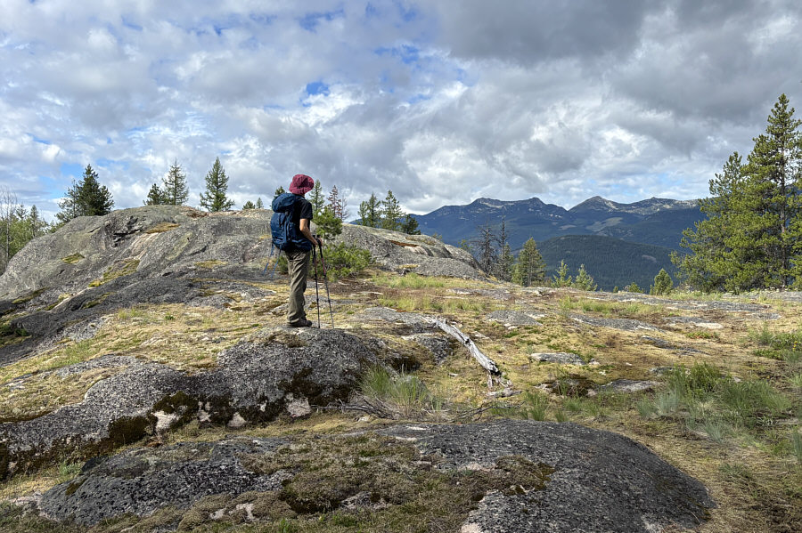
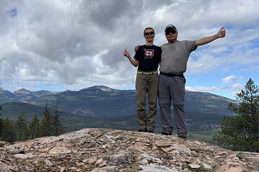
Zosia stands atop the subsidiary bump (1020 metres).