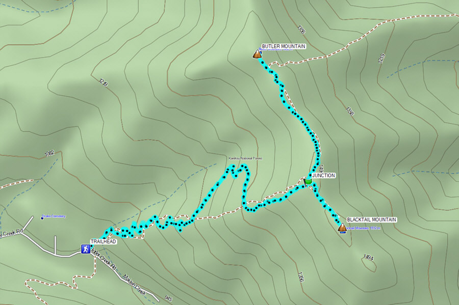
From US Highway 95, turn east onto Blacktail Road 10.1 kilometres south of the intersection with Sagle Road in Sagle or 21.5 kilometres north of the interchange with State Highway 54 in Athol. Drive 2.6 kilometres and turn left onto National Forest road 230 (2WD gravel). Drive about 4.4 kilometres to road's end at Maiden Rock trailhead (no facilities) where there is parking space for about half a dozen vehicles. Two separate trails begin from this trailhead; the trail to Butler Mountain and Blacktail Mountain is numbered "117".
Starting from the signed trailhead, Zosia
and I ascended a well-defined trail (117) which rises steadily up a
forested slope to the connecting ridge between Butler Mountain and
Blacktail Mountain. A few times, we crossed an older trail which
takes a steeper but more direct line up the slope, but for the most part,
we just stuck with the newer trail. Since this newer trail was
mainly designed for dirt biking, the rocky surface was often loose and a
bit unpleasant to walk on, and combined with zero views, the climb to the
ridge crest felt like a long and monotonous grind. Upon reaching a
T-junction on the connecting ridge, we turned left and easily hiked
another kilometre to the summit of Butler Mountain. The trail on
the ridge was flatter and easier to hike, and an abundance of ripe
huckleberries made up for the lack of views. The summit of Butler
Mountain was once the site of a fire lookout cabin and tower, but there
is little evidence of either remaining. According to
Eric Willhite, the mountain was named for a young fire lookout--Ben
Butler--who was apparently killed by lightning inside the cabin in 1931.
With little to see at the summit of Butler Mountain, Zosia and I promptly
turned around and hiked back to the T-junction where we continued just as
easily along the other branch for about 400 metres to the summit of
Blacktail Mountain. This summit is a little more open, but wildfire
haze made it difficult to discern anything beyond a few nearby forested
humps. We stopped anyway for an extended lunch break before
returning to the T-junction and descending the same trail we came up.
With the exception of a few short cuts down the older trail, we pretty
much retraced our steps down to the trailhead without fanfare.
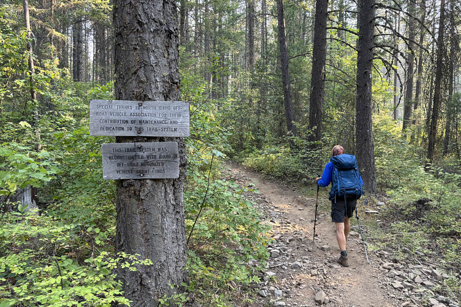
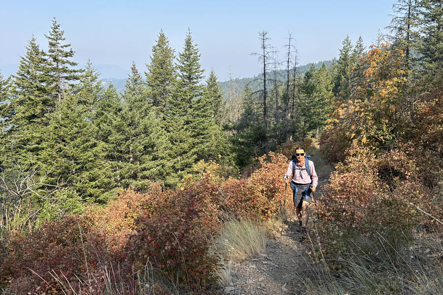
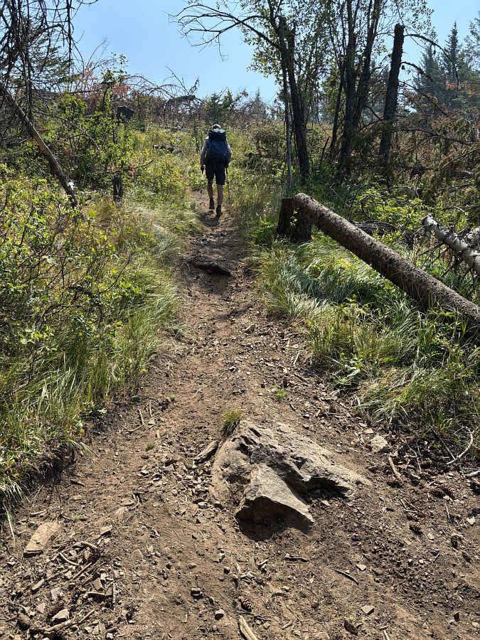
Zosia begins hiking up a trail that is
apparently maintained by North Idaho Off-Road Vehicle Association.

Most of the trail goes up a forested slope with virtually no far-reaching
views.

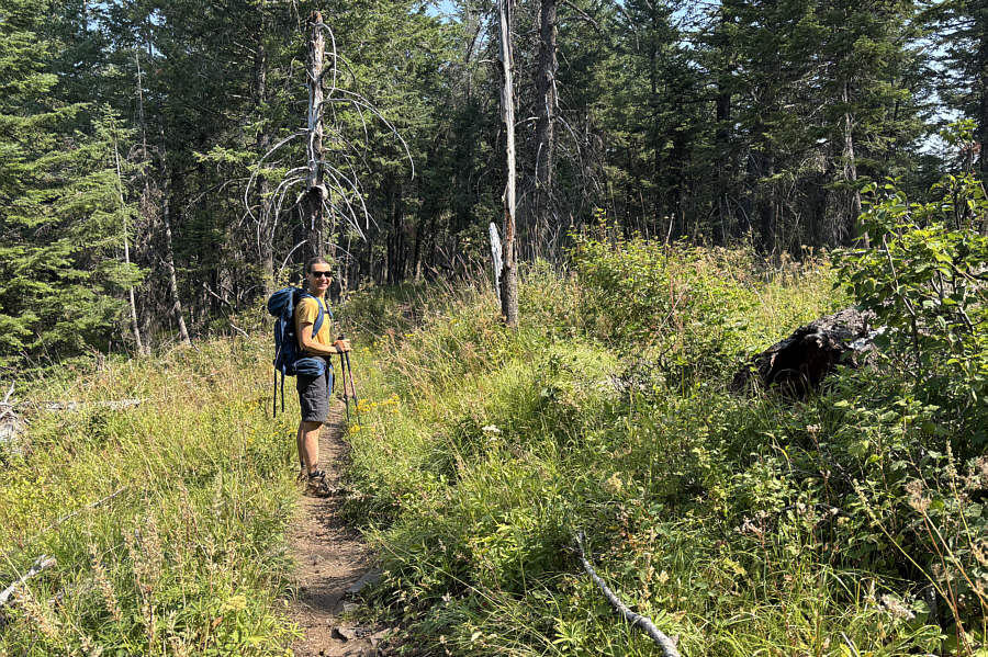
The trail levels out considerably on
the connecting ridge between the two peaks.

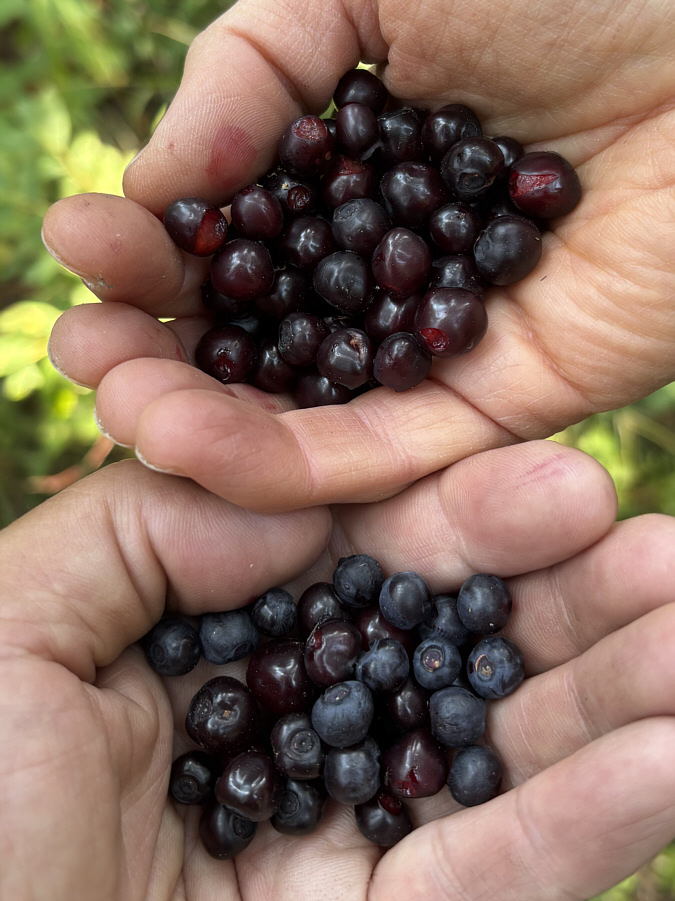
Ripe huckleberries are abundant on the
connecting ridge.

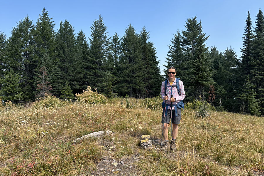
Zosia stands on the summit of Butler
Mountain (1498 metres).

Back at a trail junction, Zosia heads
up the branch that leads to the top of Blacktail Mountain.

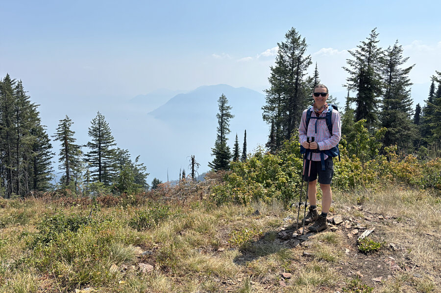
A rare opening in the forest grants a
hazy and limited view of Lake Pend Oreille.

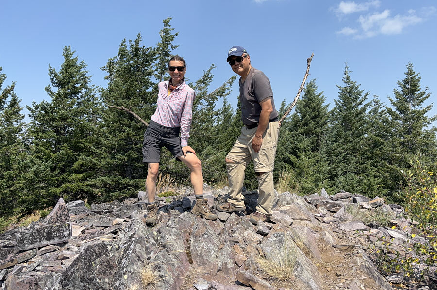
Zosia and Sonny stand on the summit of Blacktail Mountain (1518
metres).

Visible just above the trees to the
southeast is
Packsaddle Mountain (centre).

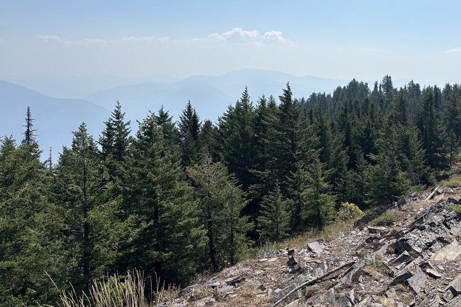
Here is the view to the south from the
top of Blacktail Mountain.

Total Distance: 9.1 kilometres
Round-Trip Time: 4 hours 58 minutes
Cumulative Elevation Gain: 534 metres