After taking a break near the summit, Zosia and I took a short cut down open slopes before regaining the road and then retracing our steps all the way back to our parked car. Overall, the entire hike was easy but also largely uninspiring partly because the surrounding views were nothing special. In any case, a mountain bike might be a more preferable means of travel for this peak.
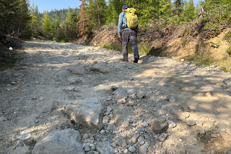 |
After parking his car, Sonny continues
on foot along Calispell Peak Road (NF-629). Photo courtesy of Zosia Zgolak
|
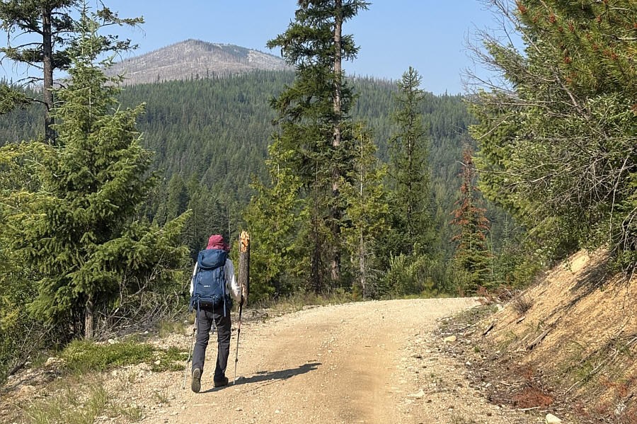 |
Zosia gets a glimpse of Calispell Peak in the distance during the approach. |
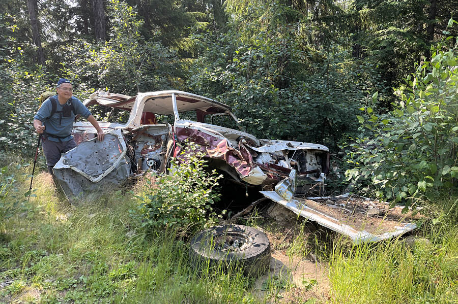 |
The state of this vehicle attests to
the roughness of Calispell Peak Road. Photo courtesy of Zosia Zgolak |
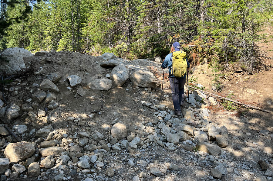 |
This deactivated section of road
requires a detour through the adjacent trees. Photo courtesy of Zosia Zgolak |
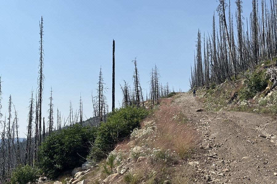 |
The road climbs through an old burn on the upper mountain. |
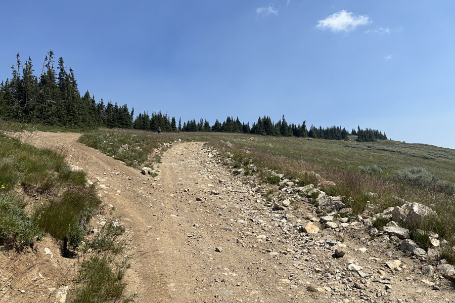 |
Zosia hikes the final rise to the summit which is somewhere behind the trees. |
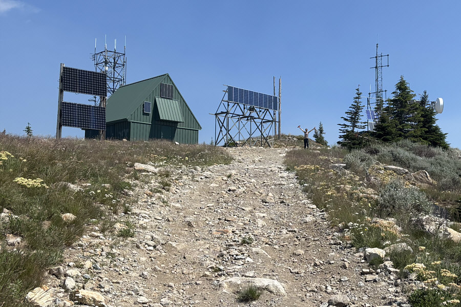 |
The top of Calispell Peak is disappointingly cluttered with communications infrastructure. |
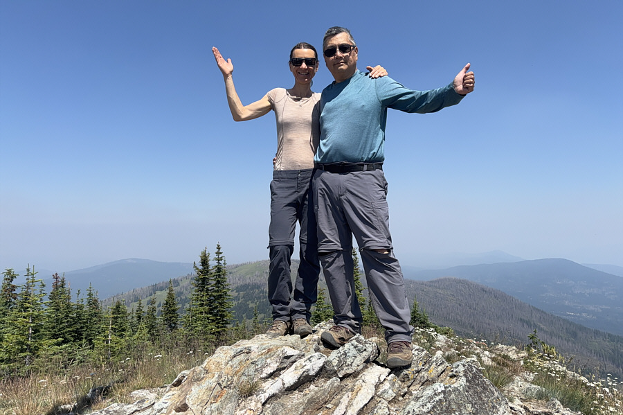 |
Zosia and Sonny stand on the summit of Calispell Peak (2097 metres). |
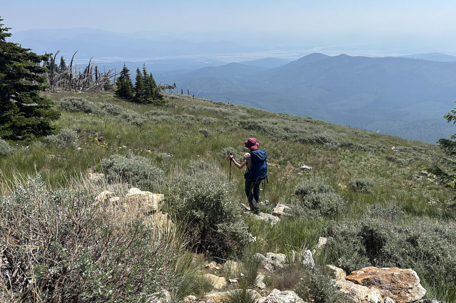 |
Zosia takes a short cut descending from the summit. |
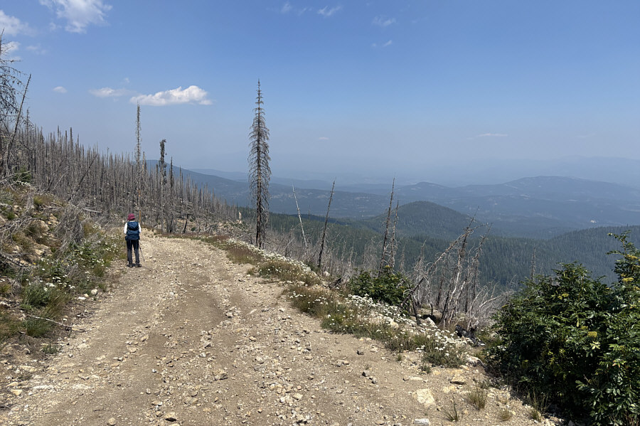 |
Zosia regains the road and settles into a long and monotonous walk back to the car. |
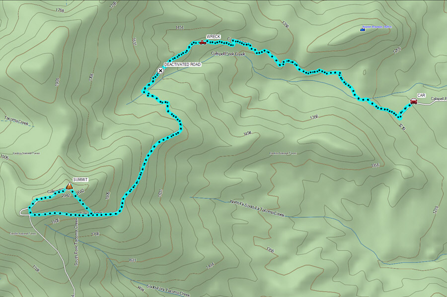 |
Total Distance: 17.6 kilometres Round-Trip Time: 7 hours 30 minutes Cumulative Elevation Gain: 900 metres |