BOU AVENUE
Cedar Mountain, Kuipers Peak And Scenic Canyon Regional Park

On 30 June 2026, Zosia Zgolak and I spent the day doing a number of short hikes in Kelowna, British Columbia.  We had originally planned on hiking in the backcountry further east, but rainy weather chased us into the city which had much drier conditions.  Fortunately, Kelowna has a lot to offer for urban hikers, and we would end up tagging a couple of small peaks and exploring a local canyon.

Zosia and I started the day with a visit to Johns Family Nature Conservancy Regional Park located on the southwest outskirts of the city.  The centerpiece of this park is a small peak unofficially named "Cedar Mountain", and its south-facing cliffs are apparently popular with rock climbers.  A good climbers' trail also grants easy access to the summit which suits non-climbers like Zosia and me.  The park's website has a useful map for navigating the trails in the area.

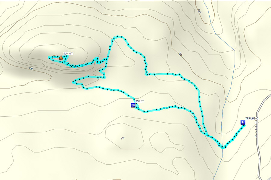
Starting from the parking lot (49.77407, -119.52127) along Chute Lake Road (2WD gravel; accessed via Upper Mission Drive), Zosia and I hiked the wide "Elk Trail" for about 230 metres to a junction with "Lebanon Creek Trail".  Ignoring Lebanon Creek Trail for the time being, we continued along Elk Trail for another 400 metres to a second junction near a vault toilet.  Turning right, we descended "Cedar Trail" for 350 metres (passing the junction with "Little Cedar Trail") to the junction with "Crags Trail".  Turning right again, we walked for 150 metres to a four-way junction with Little Cedar Trail.  We turned left here to take a climbers' trail which ascends steeply to the east ridge of Cedar Mountain.  At the ridge crest is a T-junction with a trail leading to the top of the mountain, but there is a curious sign here saying that the trail is closed due to hazardous conditions.  Someone wrote an expletive on the sign, and we chose to simply ignore it.  In truth, we found nothing hazardous about the trail, but I think the sign was erected to dissuade casual walkers from wandering to the top of Cedar Mountain and inadvertently kicking rocks down on climbers scaling the south-facing cliffs.  In any case, we easily reached the summit without any issues and stopped there for a short break to enjoy the panoramic views of Okanagan Lake.

For our return, Zosia and I descended the same way to the T-junction at the ridge crest, but instead of retracing our steps here, we took a longer meandering trail which winds a bit northward before circling back to Crags Trail a little further to the east.  Once we regained Crags Trail, we headed eastward to connect with Lebanon Creek Trail and turned right to get back to the aforementioned junction with Elk Trail.  From there, we only had a short walk back to the parking lot.
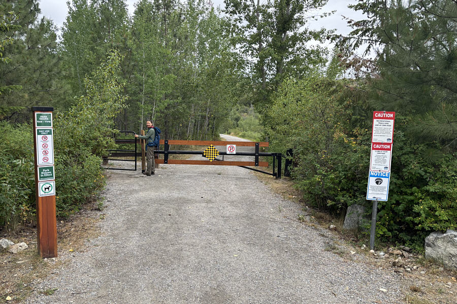
Looks like a well-kept park! Zosia passes a gate at the start of the hike to "Cedar Mountain".
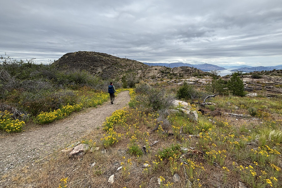
Ironically, we did not see any cedar trees in this park! Zosia hikes toward Cedar Mountain along "Cedar Trail".
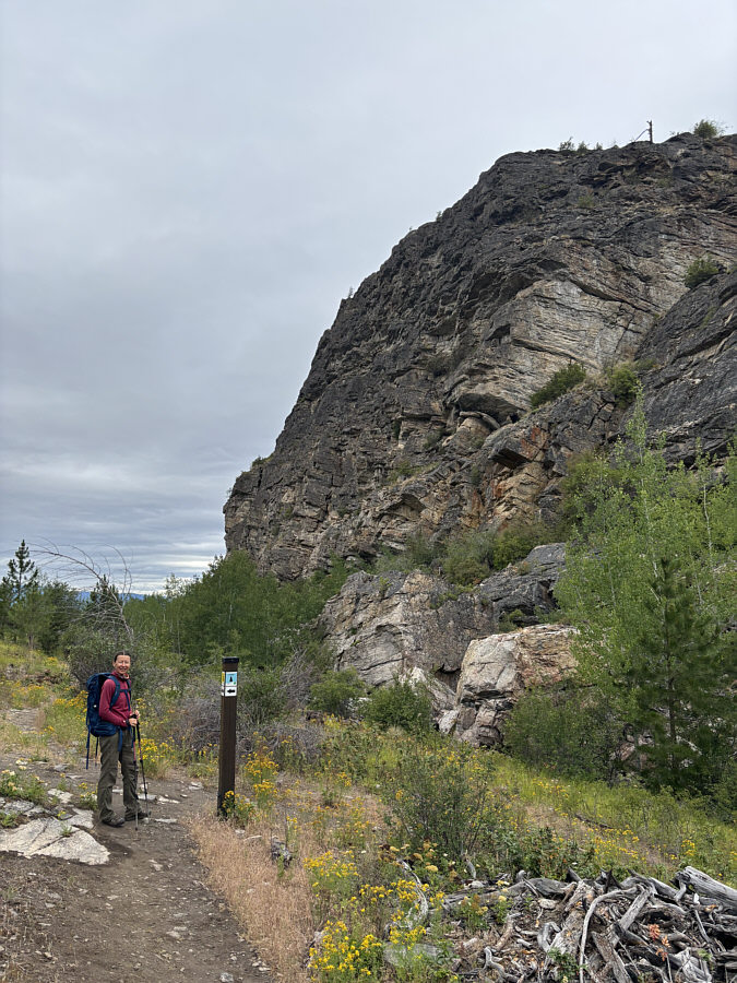
Surprisingly quiet here today... At the junction between "Crags Trail" and "Little Cedar Trail", Zosia is about to leave the official trail network to take a climbers' trail going off to the right.  Behind her is the south face of Cedar Mountain.
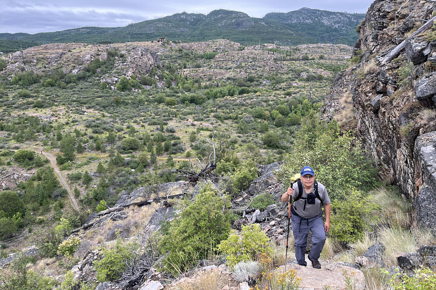
Lawrence Grassi would've been proud! Sonny ascends the well-constructed climbers' trail.

Photo courtesy of Zosia Zgolak

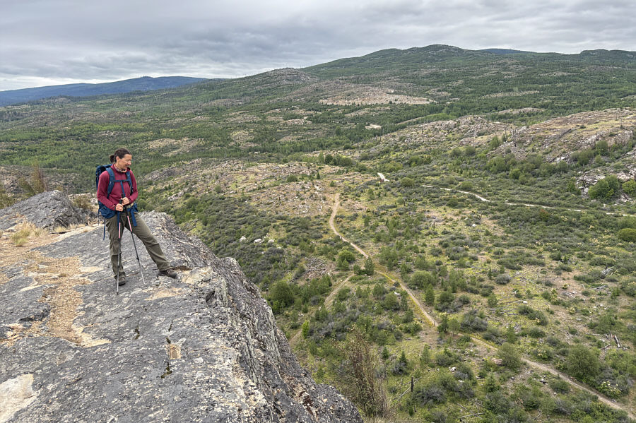
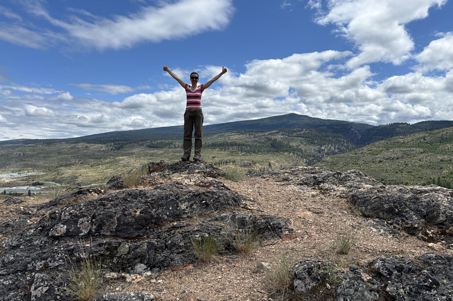
Please don't throw rocks down here! Zosia stands on the summit ridge overlooking the rest of the park.
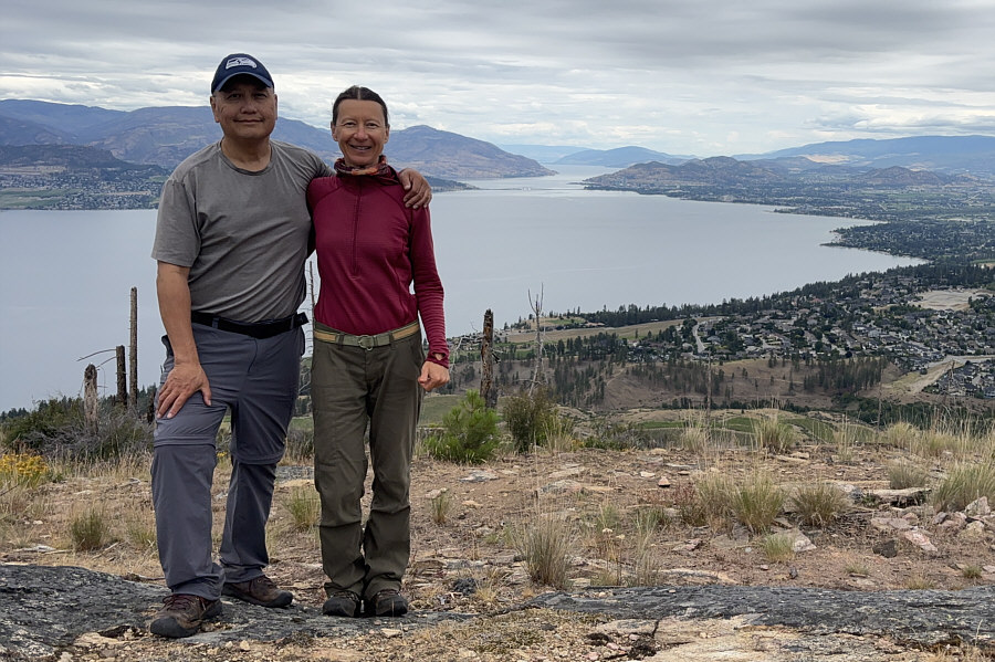
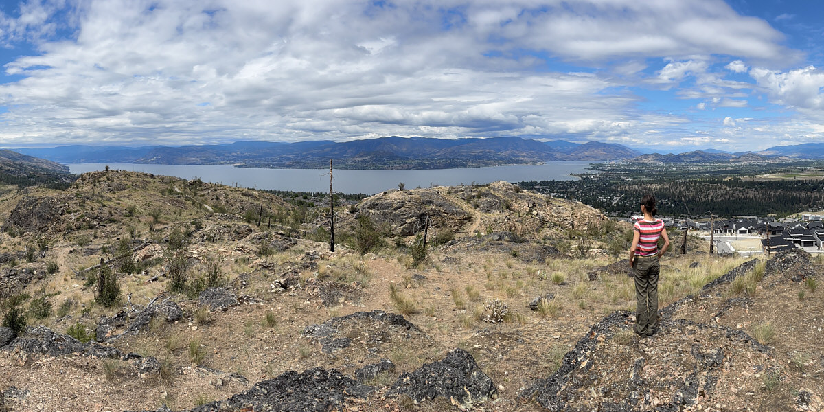
Took us about 50 minutes to get up here. Sonny and Zosia stand on the summit of Cedar Mountain (808 metres).

Great bang for your buck!

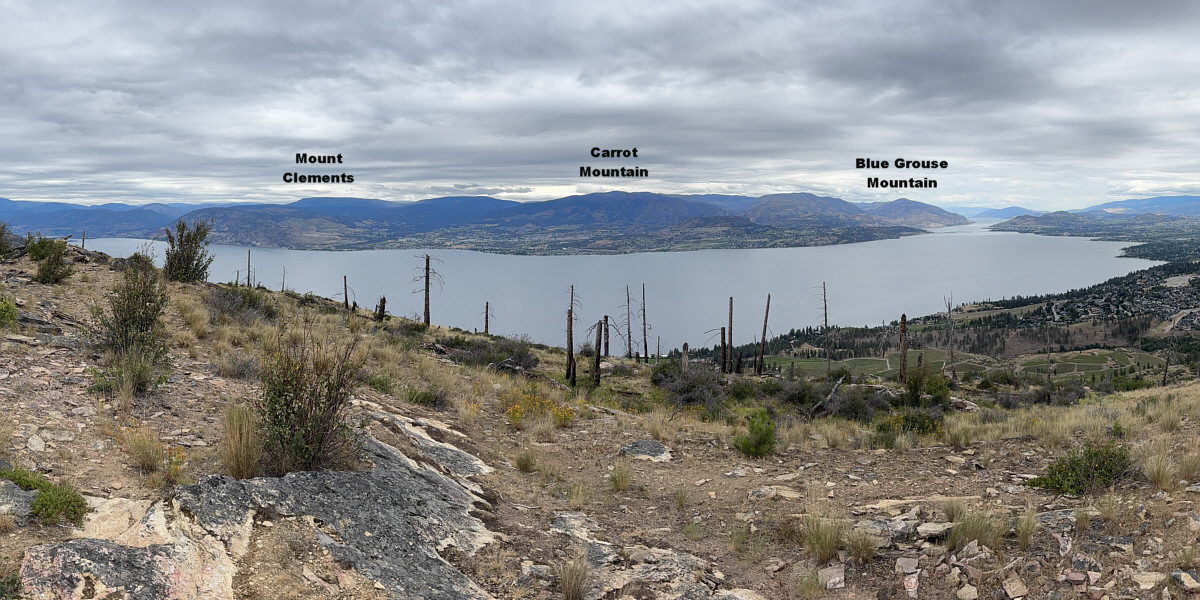
Here is a panoramic view of Okanagan Lake from the summit of Cedar Mountain.
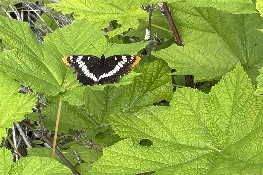
 

Not the dreaded rear admiral? This butterfly is known as Lorquin's admiral.
A gem of a short hike in a fantastic little park. Total Distance:  3.4 kilometres
Round-Trip Time:  2 hours 2 minutes
Cumulative Elevation Gain:  103 metres

GPX Data

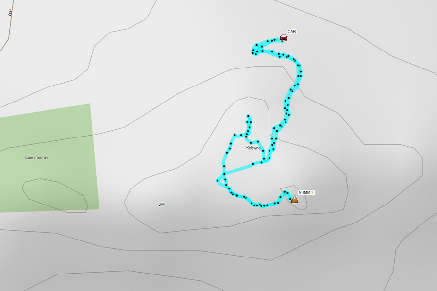
Zosia and I next drove to Kuipers Peak Park which is located about five kilometres northeast of Cedar Mountain.  The park's namesake peak is little more than a rocky outcrop that is slowly being surrounded by residential developments, but the easily-attained summit boasts superlative views in all directions and is well-worth a short visit.  There are several points of access for this park, but we would choose the trailhead (49.79856, -119.47394) at Hewetson Court which grants the shortest route to the summit as of this writing.

Zosia and I parked our car along Hewetson Avenue and crossed the street to the trailhead marked with an information sign board.  An obvious trail climbs up the hillside leading to a dip separating the summit from an outlier to the north.  At an unmarked junction, we turned left onto a spur trail leading to top of "Kuipers Peak".  After tagging the summit, we returned to the dip and followed another trail leading to the top of the outlier.  From there, we dropped down a steeper but more direct trail to reconnect with the main trail before hiking out to our car.
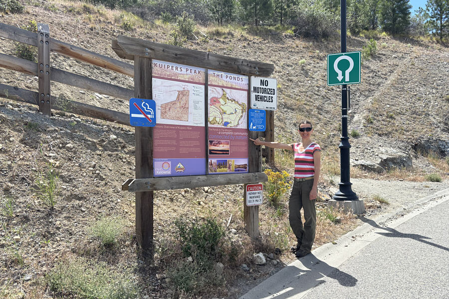
No smoking, please! Zosia checks out the information sign board for "Kuipers Peak" at the trailhead along Hewetson Court.
No running too! It took Zosia twelve minutes to reach the summit of Kuipers Peak (684 metres).

Almost the same view as from the top of Cedar Mountain except with more sunshine!

Here is a panoramic view of Okanagan Lake from the summit of Kuipers Peak.
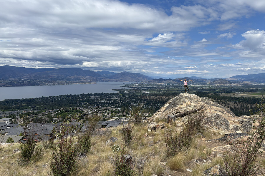
 

This peak is big enough to have outliers? Zosia balances on the northern outlier of Kuipers Peak.
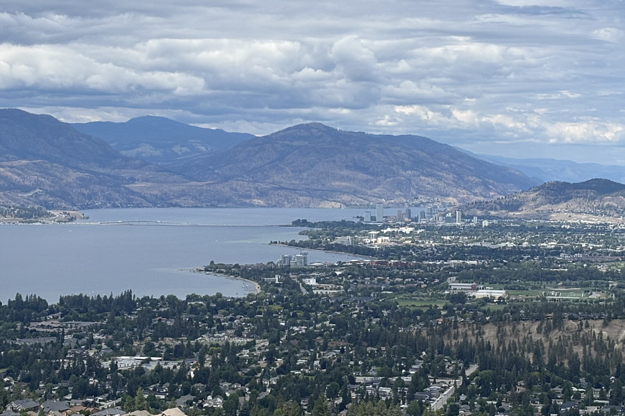
I can see so many places for the city to install another disc golf course... Here is a zoomed-in view of downtown Kelowna from the outlier.  At centre is Blue Grouse Mountain.
Another Kelowna gem but far too short! Total Distance:  1.1 kilometres
Round-Trip Time:  32 minutes
Cumulative Elevation Gain:  30 metres

GPX Data

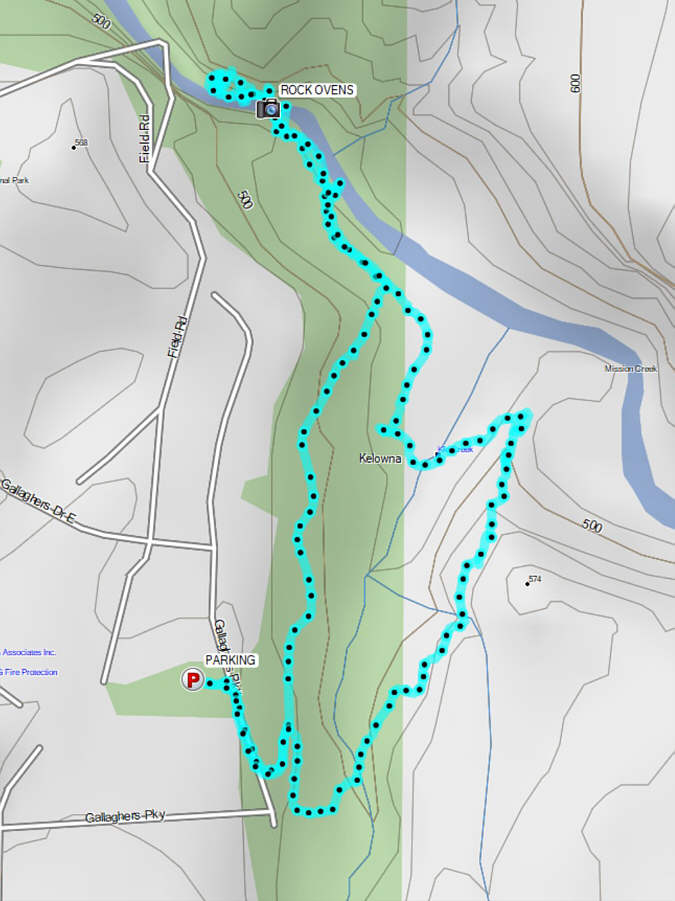
Our last stop of the day would be at Scenic Canyon Regional Park which is located in the southeast corner of the city and encompasses a large portion of the confluence between Mission Creek and Klo Creek.  The main access is via a trailhead (49.83948, -119.36838) at the north end of Field Road.  From the parking lot, Zosia and I followed a pathway known as "The Greenway" to descend into the canyon.  About 800 metres into the hike, we made the mistake of taking a short cut down to the valley bottom, and especially since we had neglected to bring our hiking poles, the footing here was dangerously slippery.  Fortunately, we made it down without a spill, and turning left, we walked another 300 metres or so to visit some impressive cliffs towering above Mission Creek.  After poking around here for quite awhile, we headed eastward to connect with "Pinnacle Trail".  We climbed steeply up this trail hoping to get a glimpse of an impressive pinnacle on the south side of nearby "Layer Cake Mountain".  Though we could see the pinnacle, it was difficult from our angle to differentiate it from the south face of the mountain.  Instead of returning the way we came, we continued southward beyond Pinnacle Trail and ended up on a well-used trail which crosses Klo Creek and loops back to The Greenway not far below the trailhead.
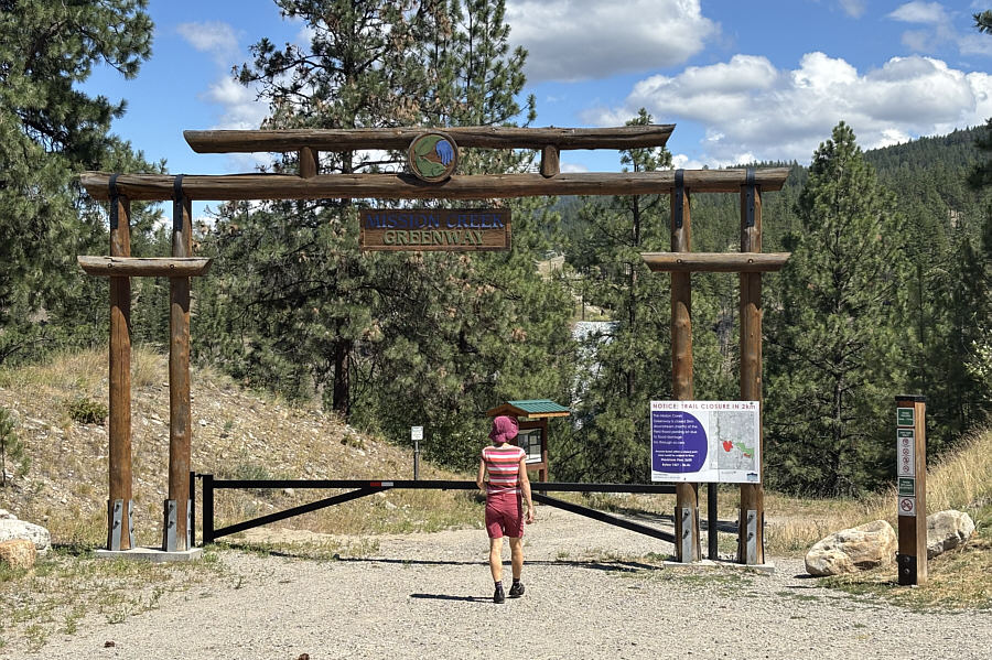
Whew! It's getting hot outside! Zosia follows a pathway known as "The Greenway" at the entrance to Scenic Canyon Regional Park.
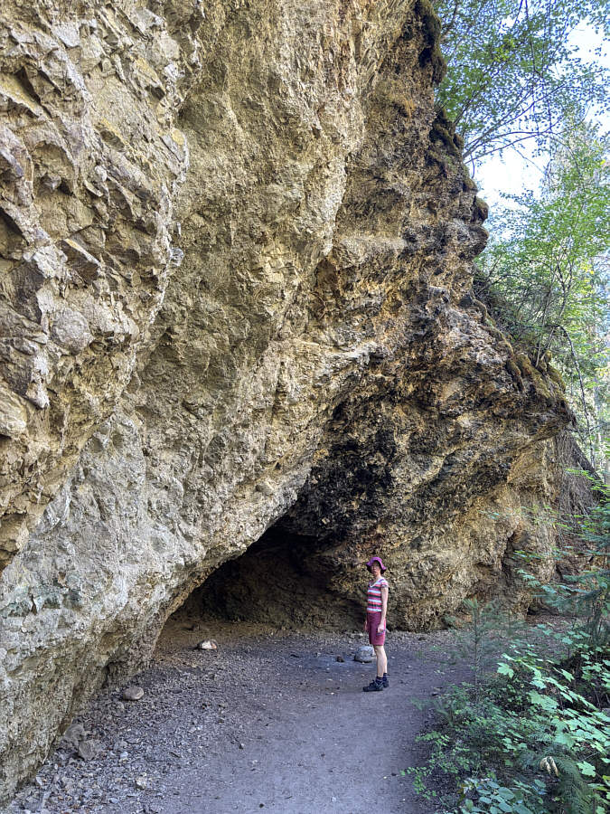
They must've been cooking some serious Peking duck to blacken the cliffs! Zosia checks out one of the shallow caves known as "Rock Ovens" which were apparently used as shelters by Chinese miners panning for gold in nearby Mission Creek.
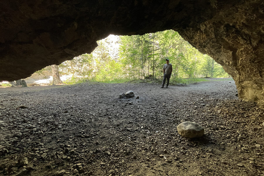
Nice...all we need is a fridge and some Wi-Fi! This is looking out from the inside of the same cave.

Photo courtesy of Zosia Zgolak

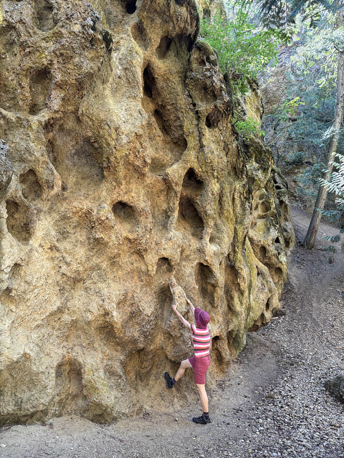
A trypophobe's worst nightmare! Near the Rock Ovens is this unusually pockmarked cliff.  In his geological review of the area, Ian Walker believes this was caused by differential erosion due to the varying quality of the cliff's rock composition.
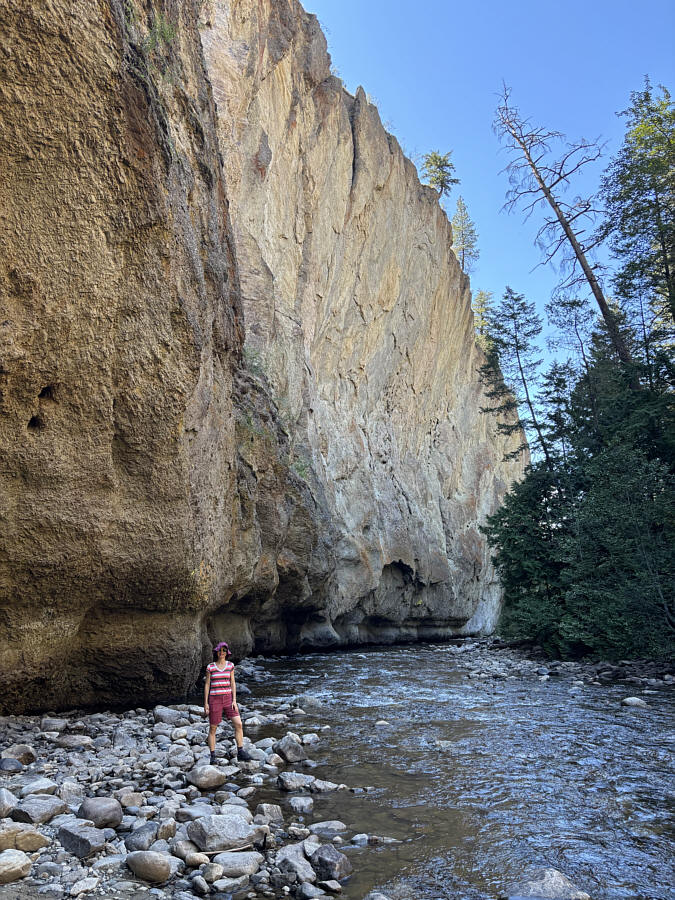
Wasn't expecting to see something like this in Kelowna! The cliffs along Mission Creek are surprisingly impressive.
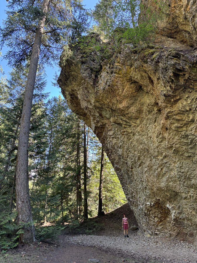
That tree is also amazing! Zosia stands under a big overhanging cliff.
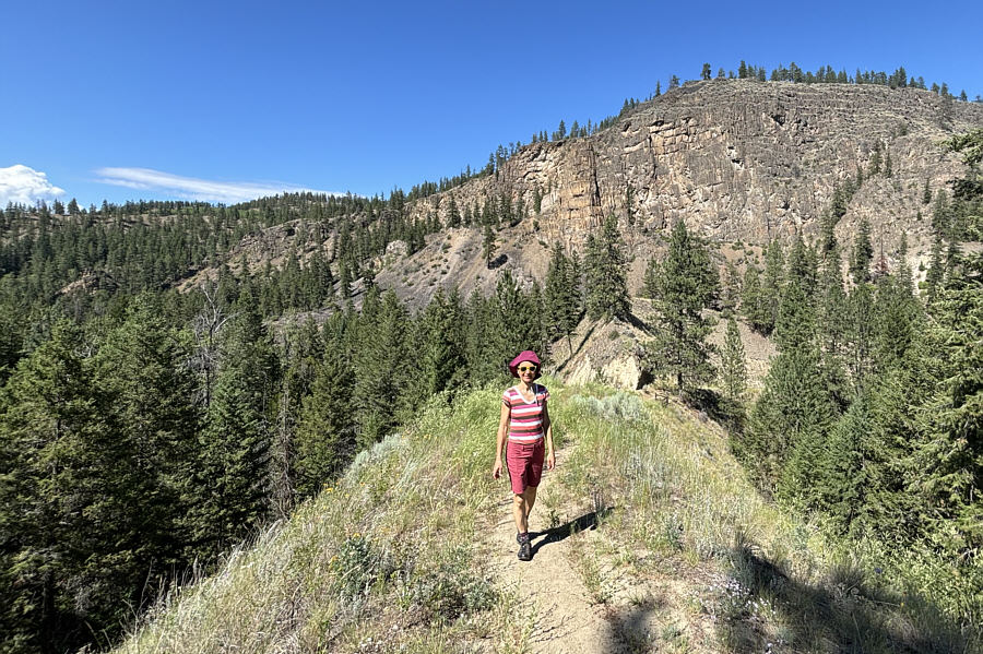
Can you spot the pinnacle? "Layer Cake Mountain" emerges behind Zosia as she climbs "Pinnacle Trail".  Unfortunately from this vantage point, the pinnacle is difficult to differentiate from the mountain.
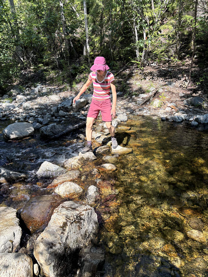
Good place to soak your feet on a hot day! Zosia takes a short cut back to the trailhead by crossing Klo Creek.
The park lives up to its name and is well worth a visit. Total Distance:  4.3 kilometres
Round-Trip Time:  1 hour 25 minutes
Cumulative Elevation Gain:  127 metres

GPX Data