From the trailhead, Zosia and I followed a dirt road northward and soon passed a locked gate. About 600 metres past the gate, we abandoned the road and headed up the forested slope to our right. The bush was light here, and other than having to pass through one barbed wire fence, navigating the south ridge was easy. As we climbed higher, the forest eventually thinned out, and we found ourselves on more rocky terrain. Travel was still pleasant though, and we easily hiked up to the spacious summit without any trouble. After previously enduring several days of smoky air, it was refreshing to have clear skies for a change, and we enjoyed far-reaching views during our lengthy break on the summit of Chopaka Mountain.
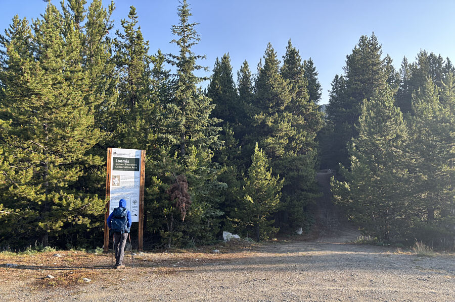 |
At the trailhead, Zosia reads information about Loomis Natural Resources Conservation Area (LNRCA) through which goes the initial approach to Chopaka Mountain. |
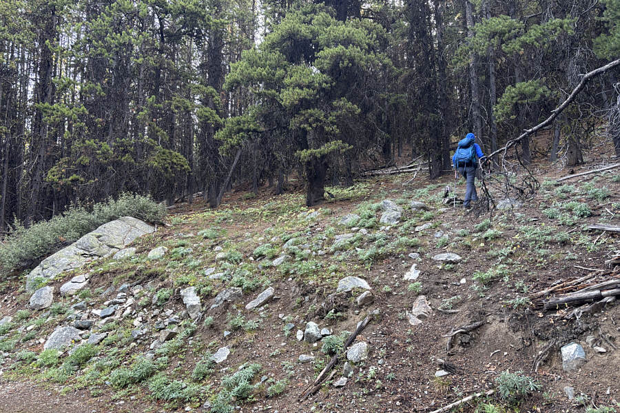 |
Zosia leaves the road and heads up the forested slope. |
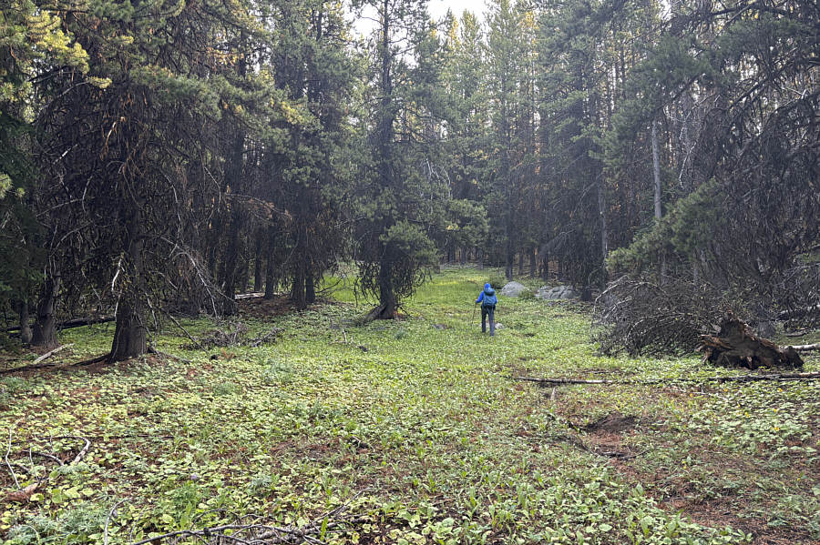 |
Open sections in the forest like this one make off-trail travel easy. |
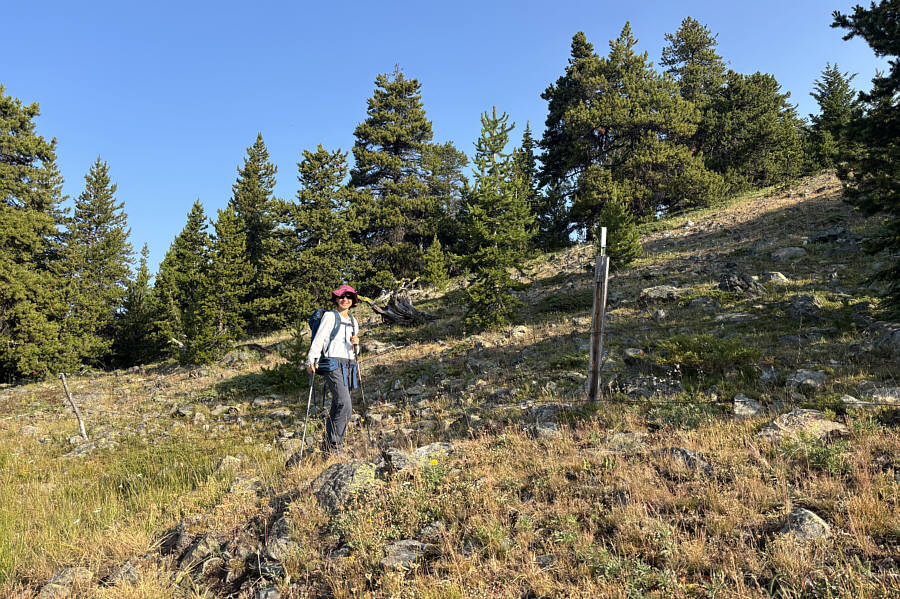 |
Zosia reaches a barbed wire fence likely marking the boundary between LNRCA and Chopaka Mountain Natural Area Preserve. |
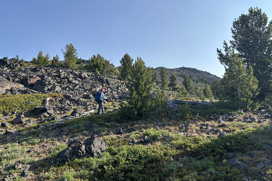 |
The summit of Chopaka Mountain comes into sight. |
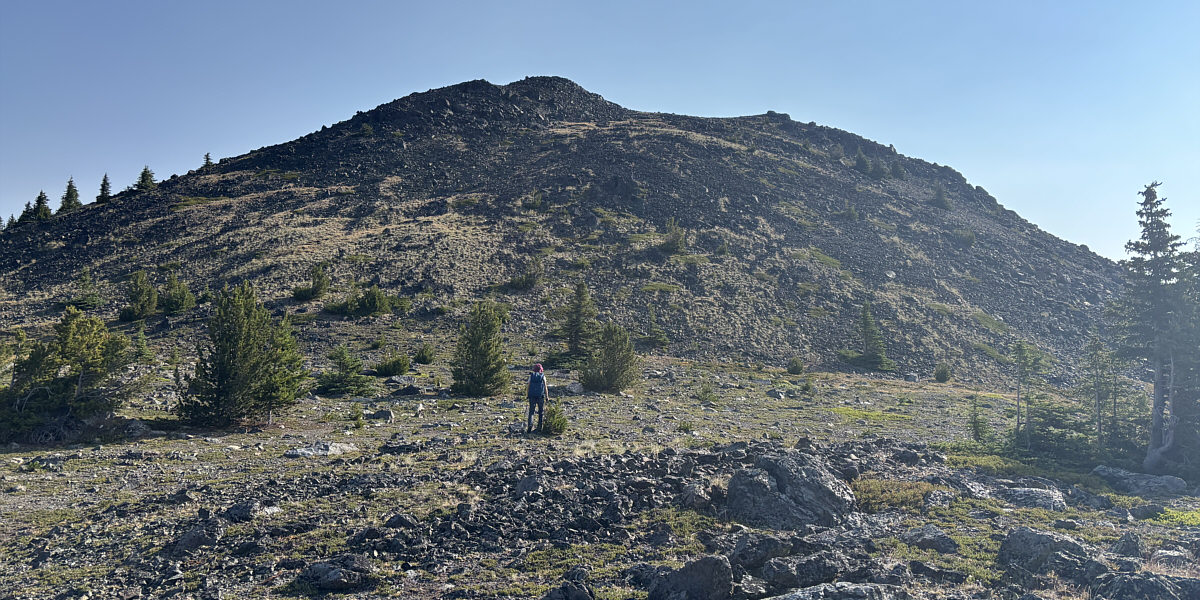
Zosia approaches the summit block of Chopaka Mountain.
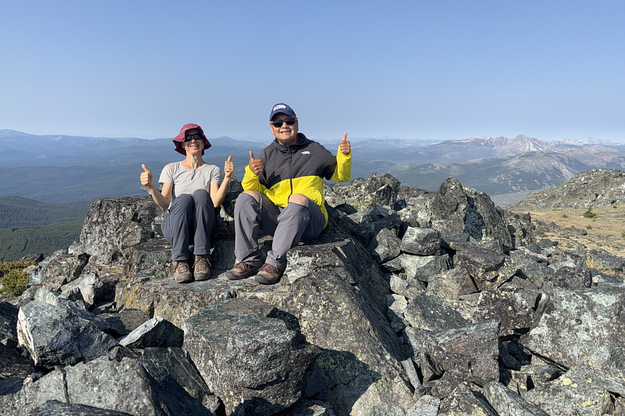 |
Zosia and Sonny sit comfortably on the summit of Chopaka Mountain (2408 metres). |
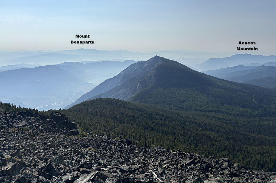 |
In this view to the southeast, part of Palmer Lake is visible beyond unofficially-named Chopaka Mountain South. |
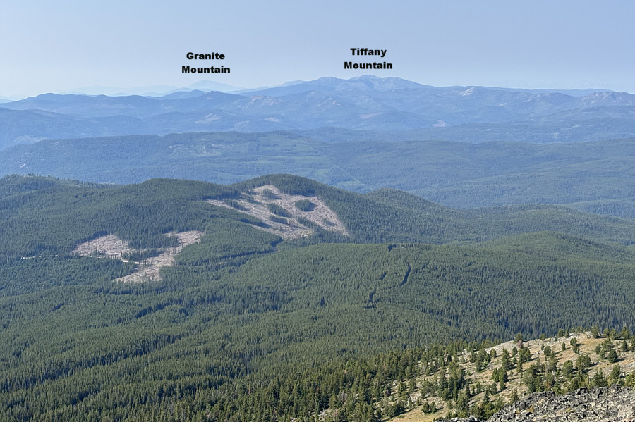 |
Looking south, the trailhead is somewhere at the bottom of the road on a forested hump (foreground right of centre). |
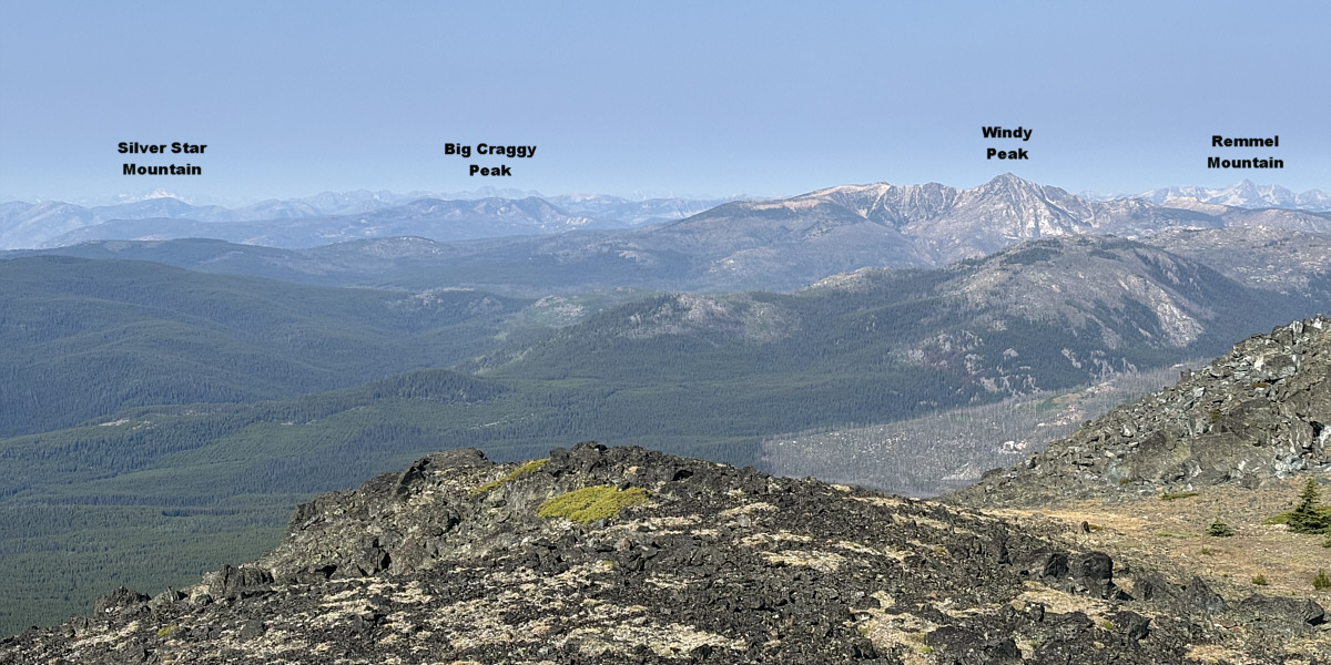
Here is a panoramic view to the west.
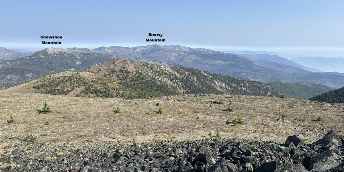
Joe Mills Mountain (left foreground) sits about 1.4 kilometres to the northwest. Snowy Mountain is located north of the border in British Columbia.
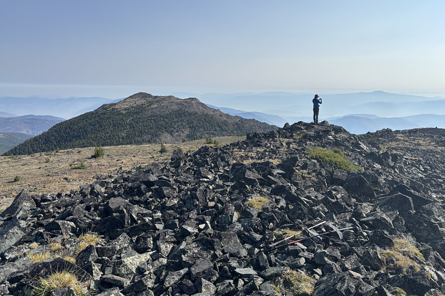 |
To the north is Hurley Peak. On the horizon to the right of Zosia is Baldy Mountain which is also north of the border. |
After tagging the summit, Zosia and I dropped directly down the south slope and regained the partly reclaimed road at a saddle between Joe Mills Mountain and the aforementioned subsidiary bump. We descended this road to the west which included another short cut down a very steep but well-defined trail. We eventually reached a junction with another overgrown road heading southward. This road is the very same one we were briefly following past the gate at the start of the trip. We simply hiked this road all the way back to the trailhead. The road annoyingly undulates a fair bit with at least one big uphill section, but there are also some creeks along the way which provided refreshing relief from the warm temperatures. Upon returning to our car, we drove out of the area on different back roads which was a bit of an adventure in itself, but fortunately, we made it to our next destination without incident.
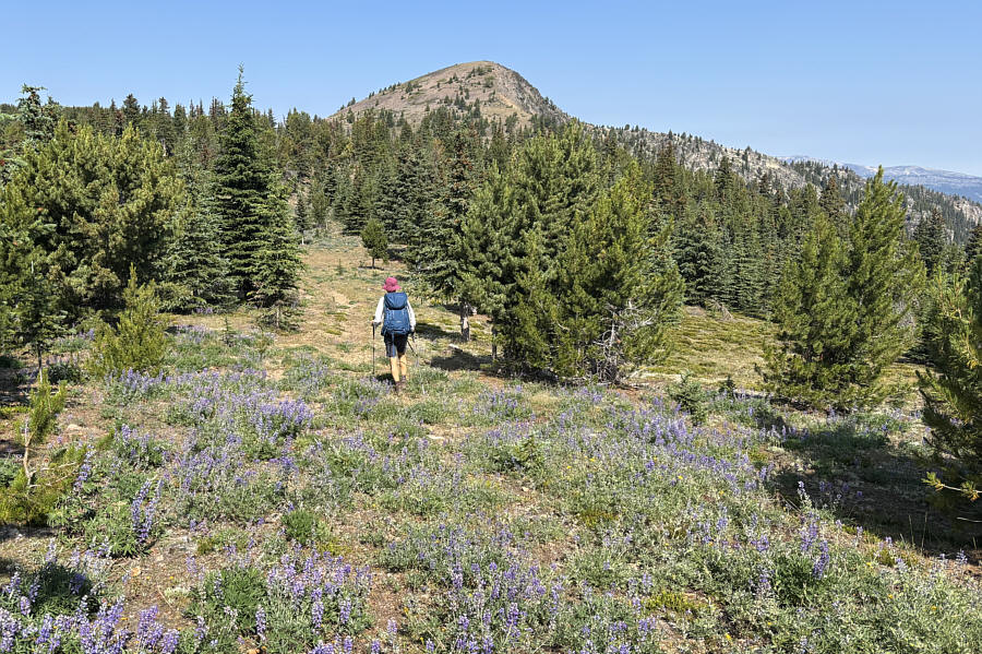 |
Heading for Joe Mills Mountain, Zosia walks along a road that has been partly reclaimed by lupines. |
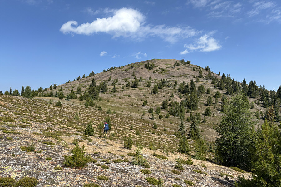 |
Zosia takes a short cut aiming for a jeep track running across the south slope of Joe Mills Mountain. |
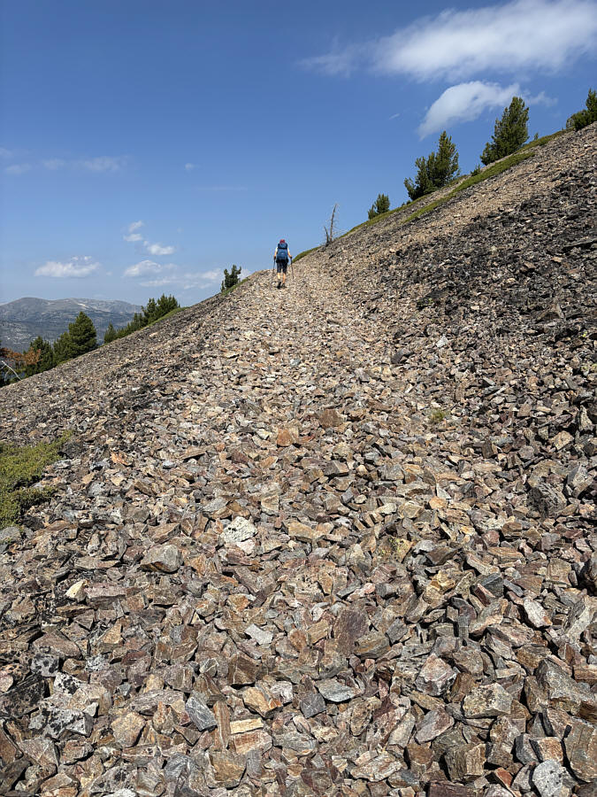 |
Zosia gains the rough jeep track. |
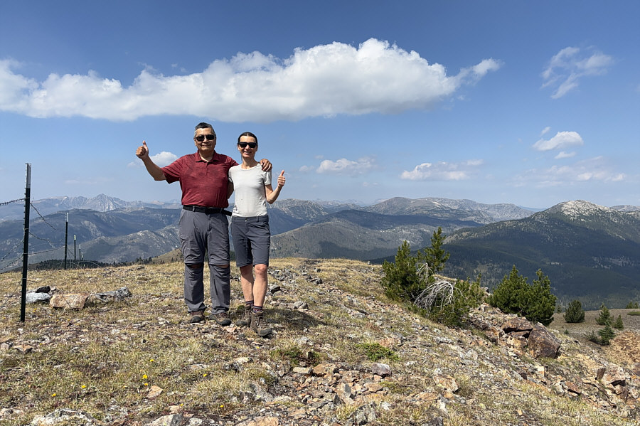 |
Sonny and Zosia stand on the summit of Joe Mills Mountain (2357 metres). |
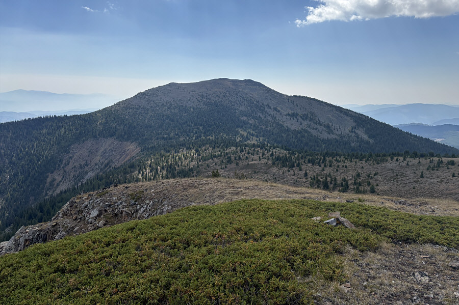 |
Here is a look back at Chopaka Mountain from the summit of Joe Mills Mountain. |
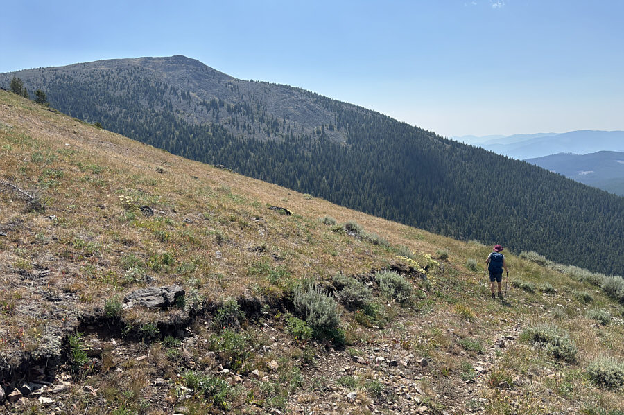 |
Zosia descends a road on the southwest side of Joe Mills Mountain with Chopaka Mountain visible at left. |
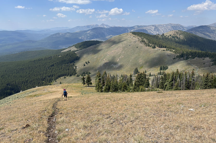 |
Zosia drops down a steep short cut trail that skips a few switchbacks in the road. The hill right of centre is officially named Disappointment. |
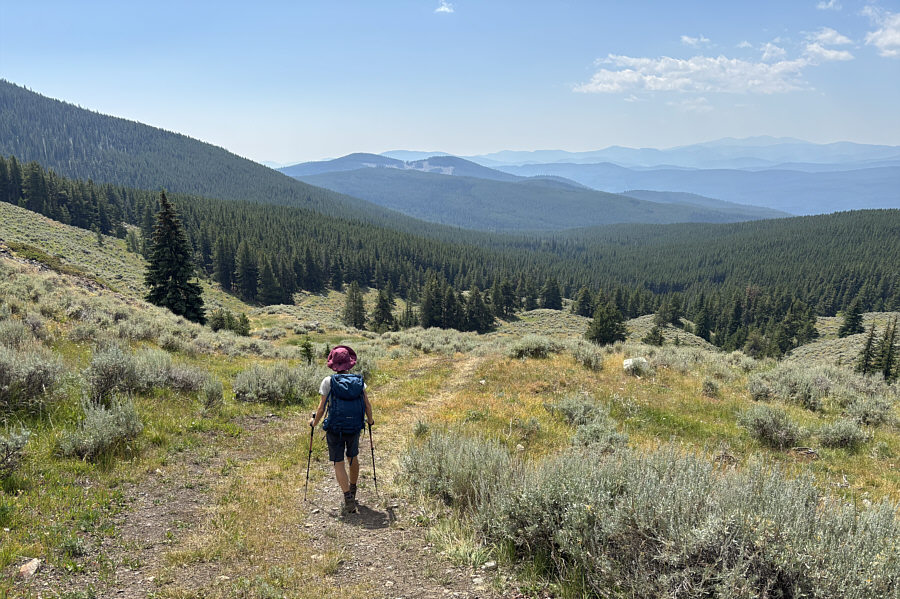 |
Zosia turns southward along the road which ultimately leads back to the trailhead. |
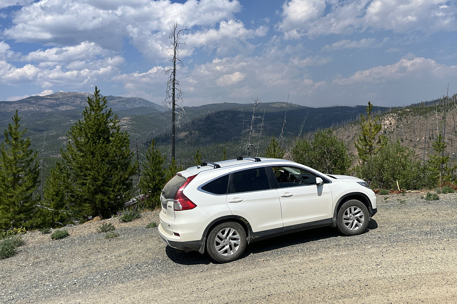 |
After the hike, Zosia and Sonny embark
on a long drive through some remote terrain along Forest Road 39. Photo courtesy of Zosia Zgolak |
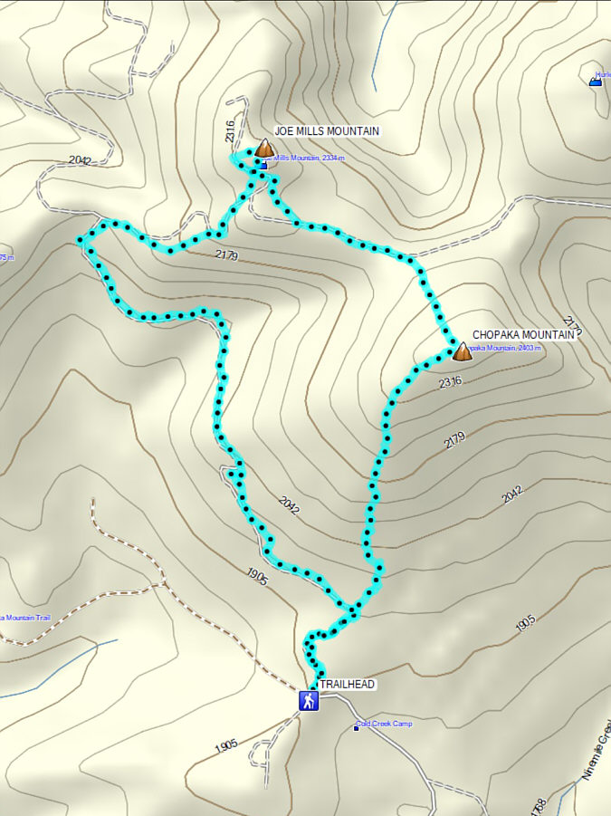 |
Total Distance: 10.1 kilometres Round-Trip Time: 5 hours 50 minutes Cumulative Elevation Gain: 633 metres |