BOU AVENUE
Mount Cowley
Zosia Zgolak and I ascended Mount Cowley in
the Moyie Range of British Columbia's Purcell Mountains on 4 July 2026.
I got the idea for this trip from
Brandon Boulier
who climbed it only a few weeks earlier, and he also provided me with some useful
information regarding the gravel access road which, other than having one
or two rough spots (just go slow), should be drivable for most 2WD
vehicles. The ascent route mostly follows a partially reclaimed
logging road which runs up the mountain's southwest ridge.
From Highway 3 in the community of
Kitchener, turn north onto Leadville Road about 12.1 kilometres east of
the junction with Canyon-Lister Road just east of Creston or 19.3
kilometres west of the junction with Highway 95 near the World's Worst
Gas Station (Hummer Gas and Diesel). Drive 500 metres and cross a
bridge over Kitchener Creek where pavement ends and Leadville Road becomes Goat River Forest
Service Road (FSR; 2WD gravel). Continue driving north for another
7.5 kilometres to a junction with Leadville FSR to the right. Keep
left and drive another 2.4 kilometres before turning right onto the
access road for Mount Cowley. The remainder of the drive (8.1
kilometres with 664 metres of elevation gain) to the start of the hike is included in
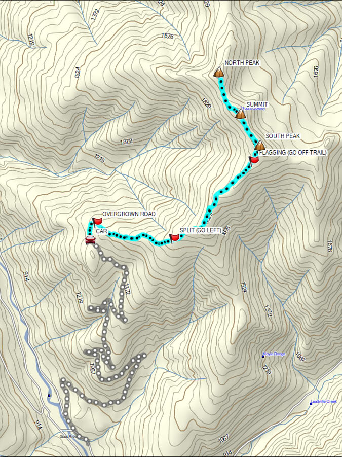
my GPS track at the end of this report.
After camping the previous night at
nearby Goat River Canyon Recreation Site, Zosia and I drove up the access
road for Mount Cowley in the morning and had no serious difficulties
reaching Boulier's starting point at a large pullout (49.27240,
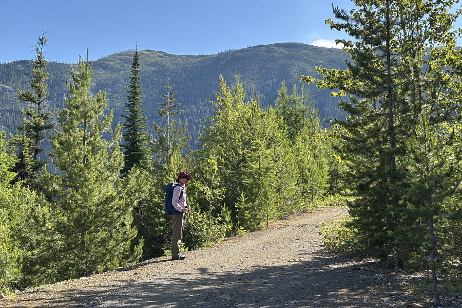
-116.33123). From there, we started along a forestry road branching
off just before the pullout. About 300 metres
further, we abandoned the wide forestry road and turned right onto an
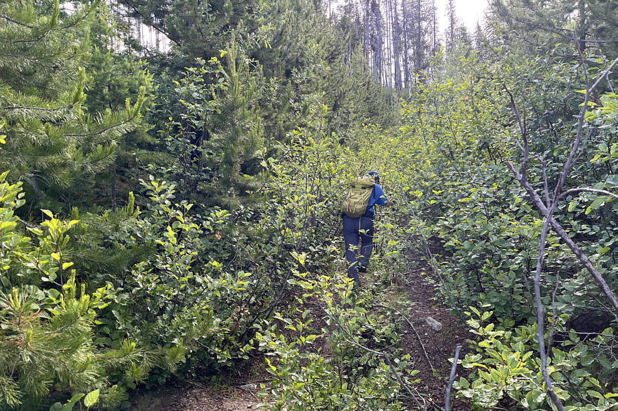
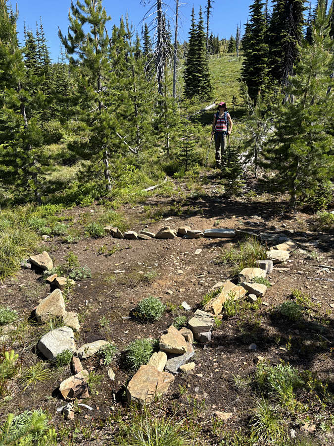
overgrown logging road which is easy to miss. The first 700 metres
or so of this logging road are intermittently bushy and nearly reclaimed
in places. Still, we have thrashed through a lot worse, and the
encroaching vegetation did not really impede us too badly.
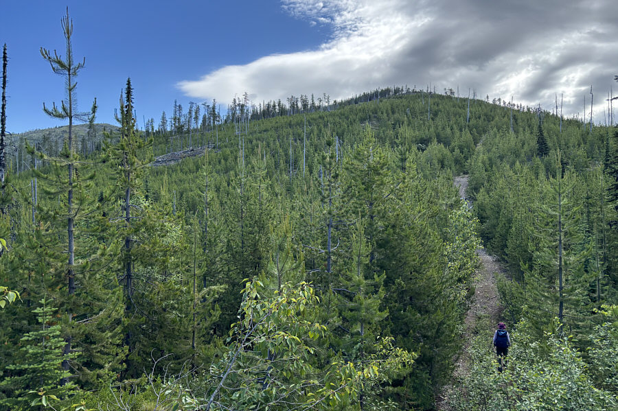
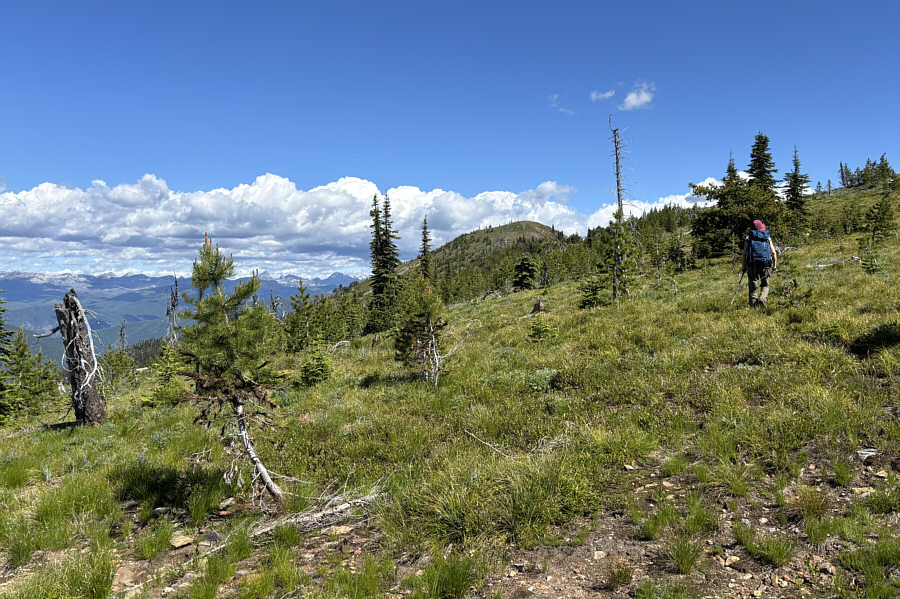
Eventually, the vegetation receded from the road for good, and we settled
into a long and steady grind up Mount Cowley's southwest ridge.
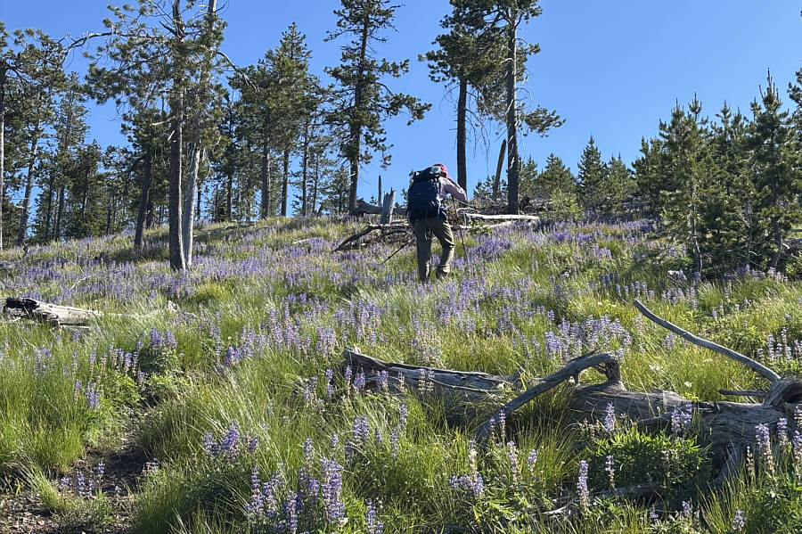
Where the trees begin to thin out, a piece of flagging tape marks the
spot where we abandoned the road and hiked off-trail to gain the summit
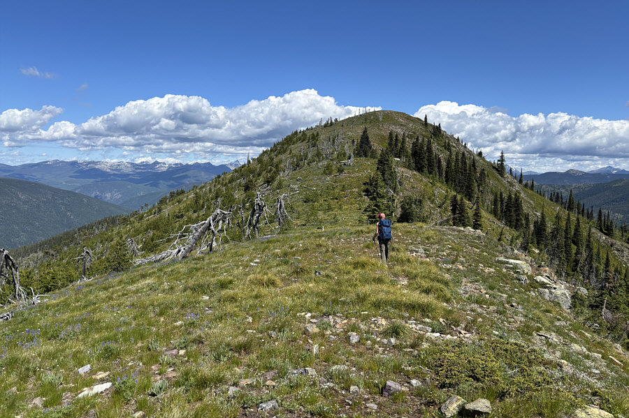
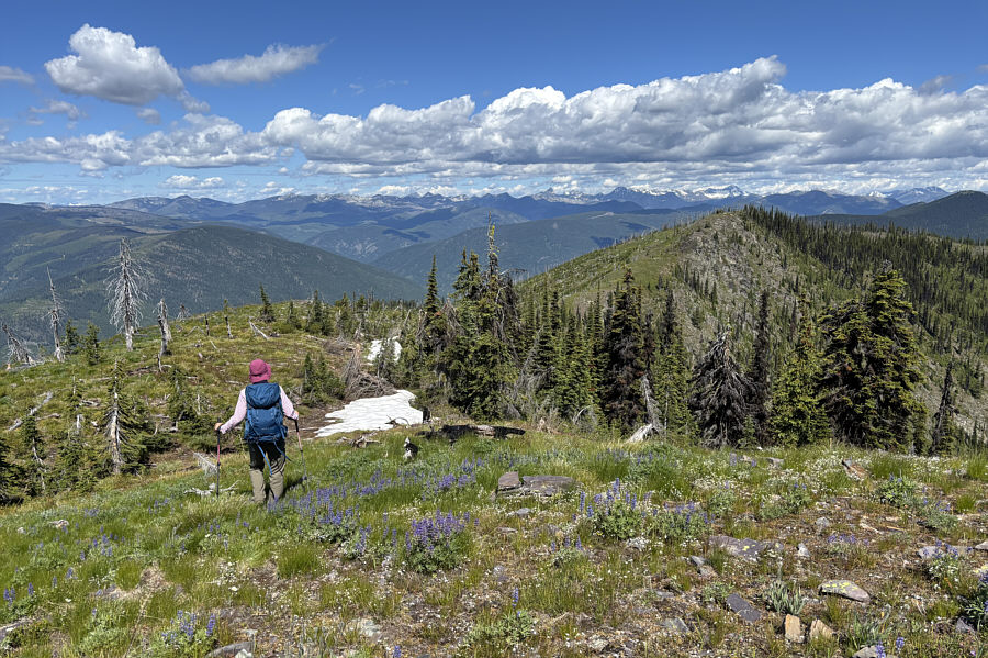
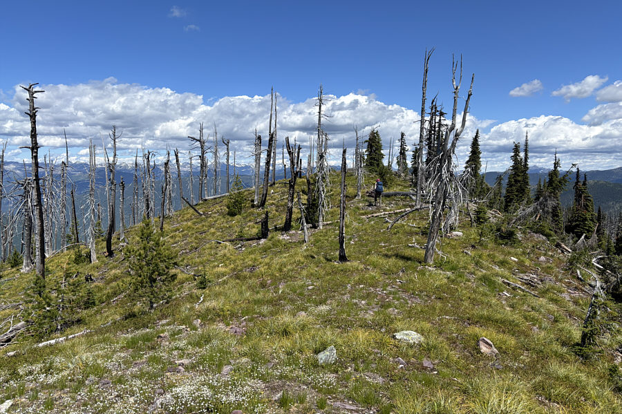
ridge. Mount Cowley's summit ridge is comprised of three distinct
peaks, but we initially ignored the south peak which is the lowest of the
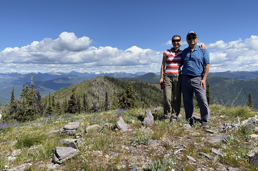
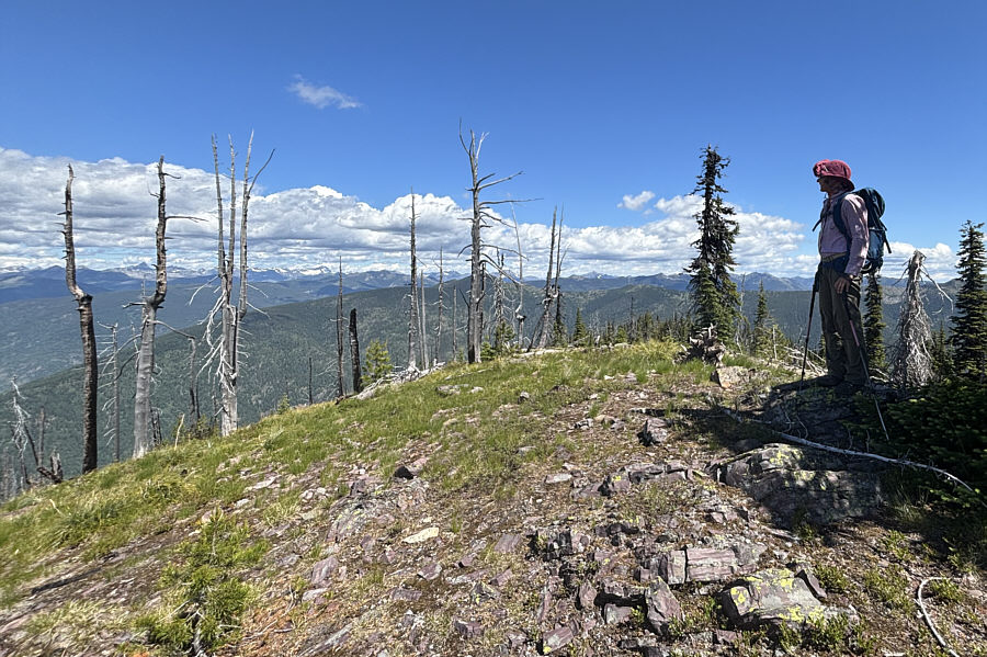
three. Easy hiking brought us to the top of the middle peak which
also happens to be the gazetted summit of Mount Cowley. From there,
the north peak looked nearly as high, and since we still had a lot of
energy, we decided to go verify its height. The traverse between
the middle and north peaks entailed a bit of route-finding to get through
a short but steep section with loose rocks but was otherwise
straightforward. As it turned out, we found that the north peak is
indeed lower but not by much. Because the north peak is also
partially treed, we opted to return to the middle peak before stopping
for a break.
For our descent, Zosia and I backtracked
along the summit ridge, but before regaining the logging road, we took a
short detour to tag the south peak. Hiking down the southwest ridge
felt long especially under the warm afternoon sun, but we had no issues
even in the overgrown sections lower down. We eventually popped out
onto the wide forestry road and had an easy walk back to our car.
The ensuing drive out also went without a hitch.
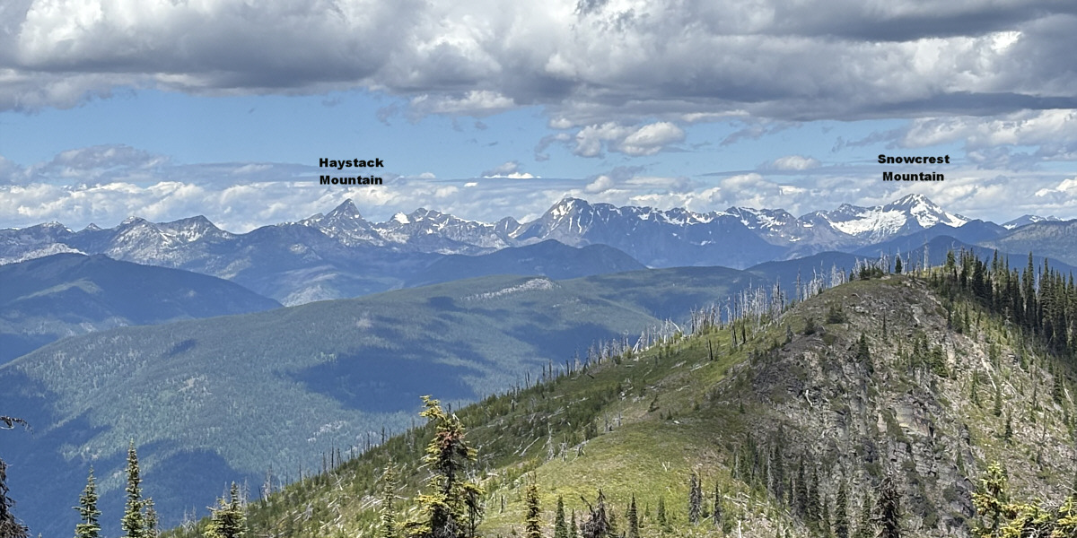
Here is a zoomed-in view of mountains to the northwest
from the summit.
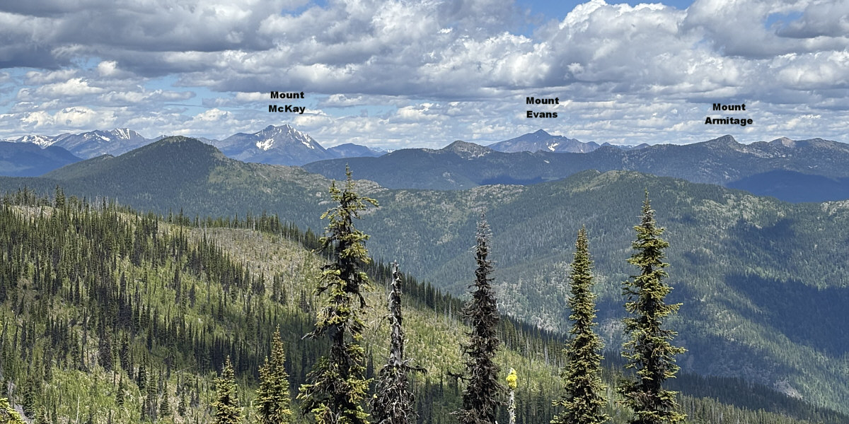
Here is a zoomed-in view of mountains to the north from
the summit.
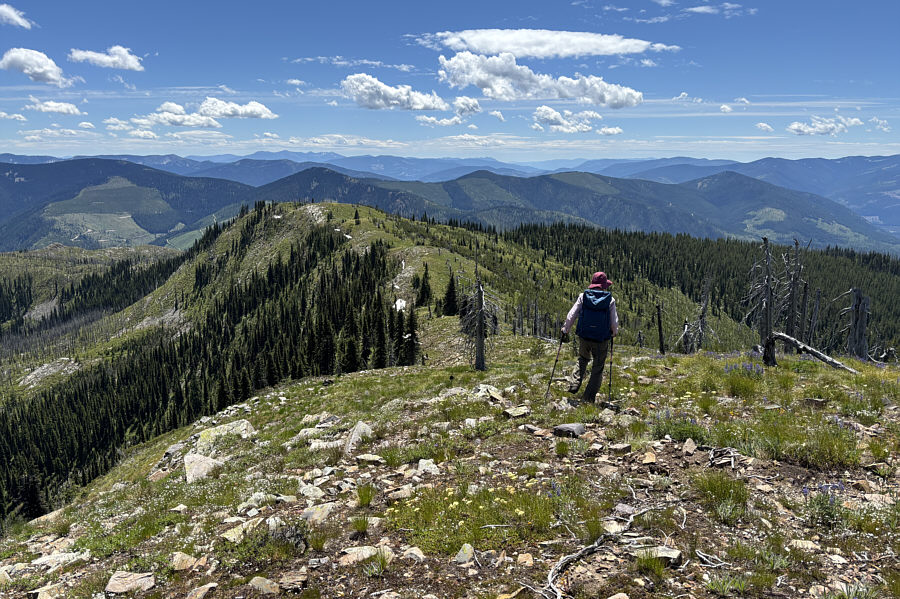 |
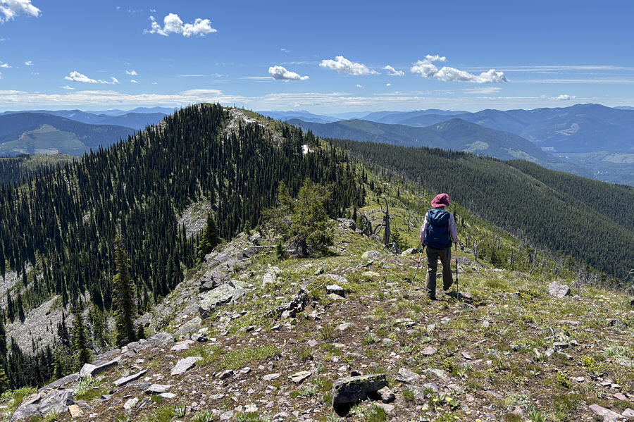
Zosia descends from the summit and
heads for the distinctly lower south peak at left. |
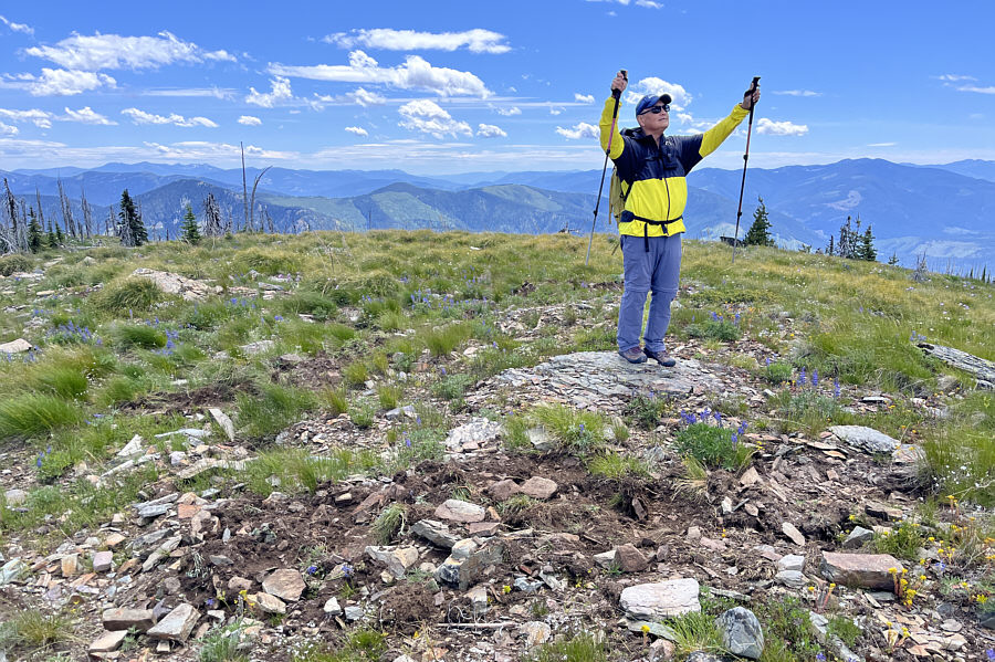 |
Sonny raises his arms in triumph on
the high point of the south peak
(2012 metres).
Photo courtesy of Zosia Zgolak |
 |
Total Distance: 10.1 kilometres
Round-Trip Time: 5 hours 46 minutes
Cumulative Elevation Gain: 632 metres
GPX Data |