|
|
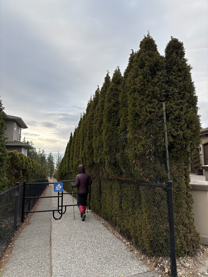
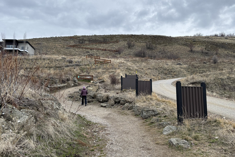
One of the ways to access Kelowna's Mount Dilworth is via this pathway off Selkirk Drive. |
|
|
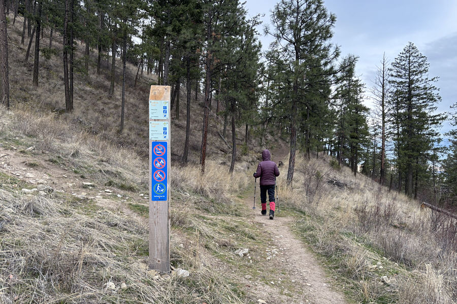
The trails around Mount Dilworth have excellent signage. |
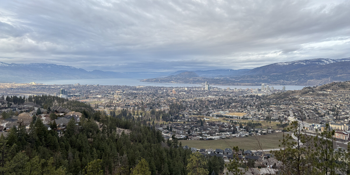
Near the start of the hike, there is already a nice view of the city and Okanagan Lake.
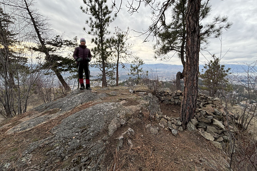 |
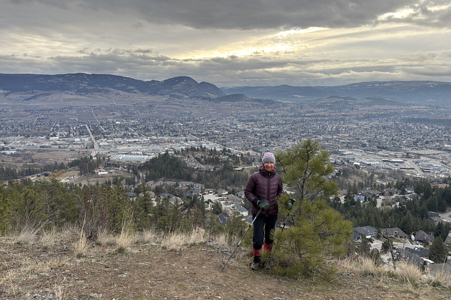
Zosia stands on the summit of Mount Dilworth (637 metres). |
 |
Black Knight Mountain (left of centre) is visible to the east. |
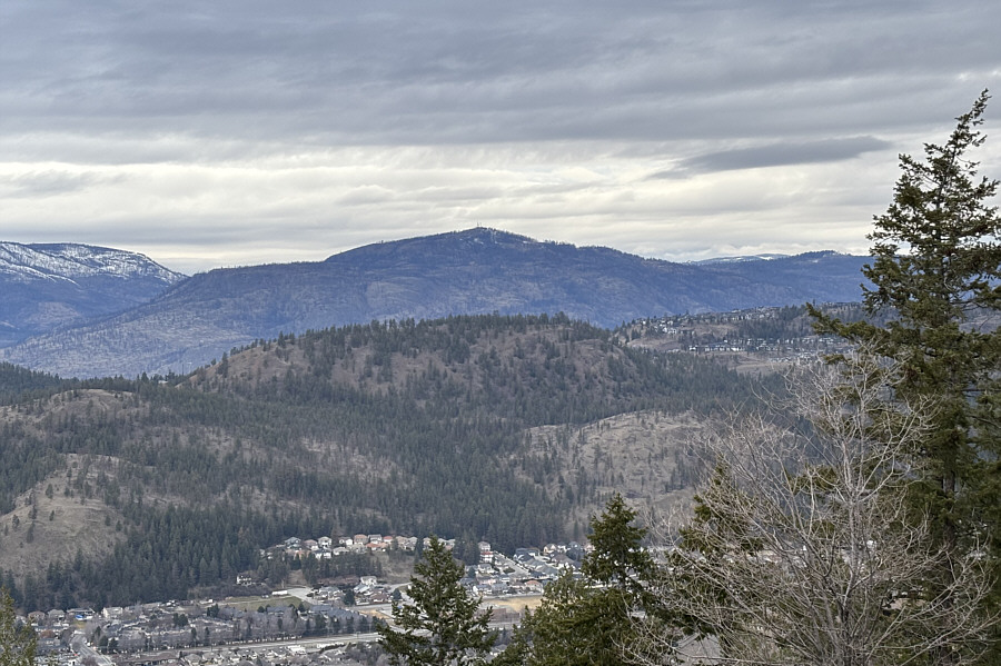 |
A break in the trees near the top grants this view to the northwest of Blue Grouse Mountain. |
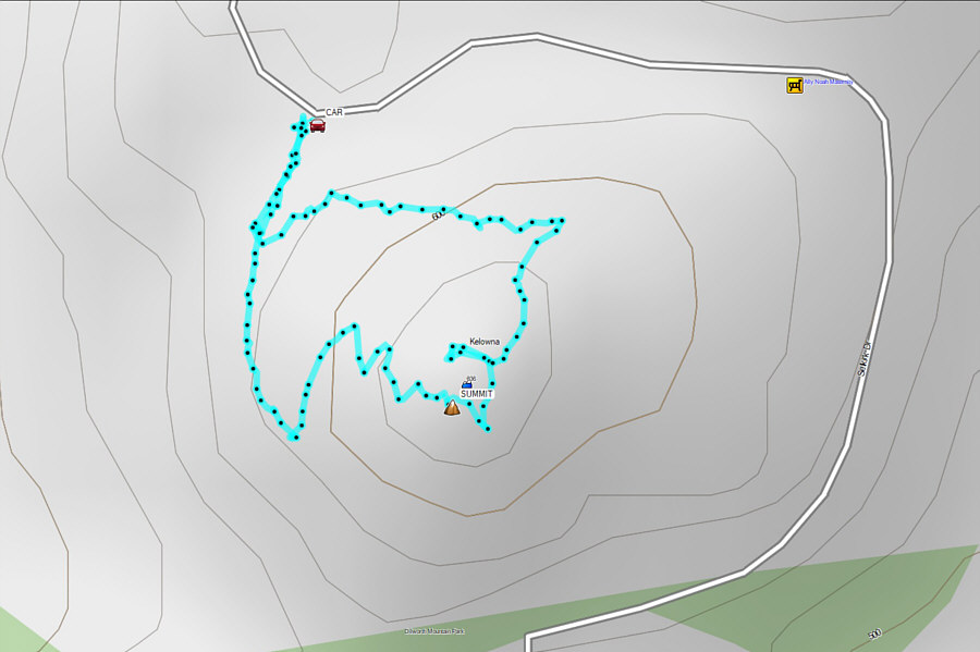 |
Total Distance: 1.2 kilometres Round-Trip Time: 29 minutes Cumulative Elevation Gain: 53 metres |
 |
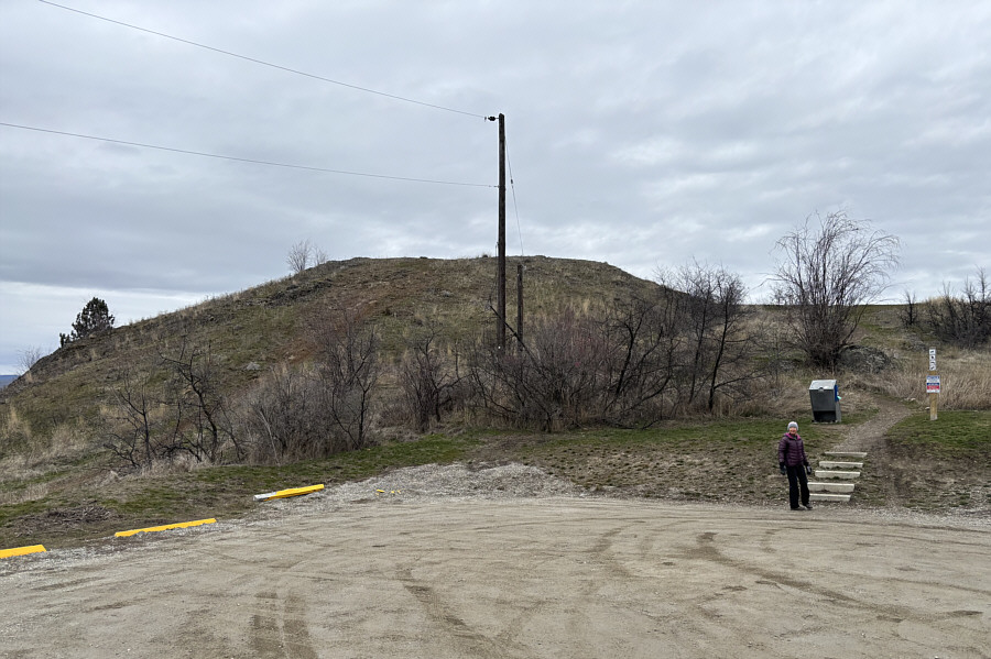
Zosia starts hiking at the western trailhead for Vernon's Mount Middleton. |
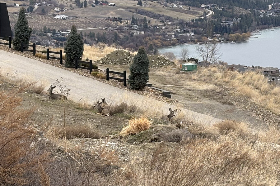 |
A herd of deer relax on the side of a private driveway not far from the trailhead. |
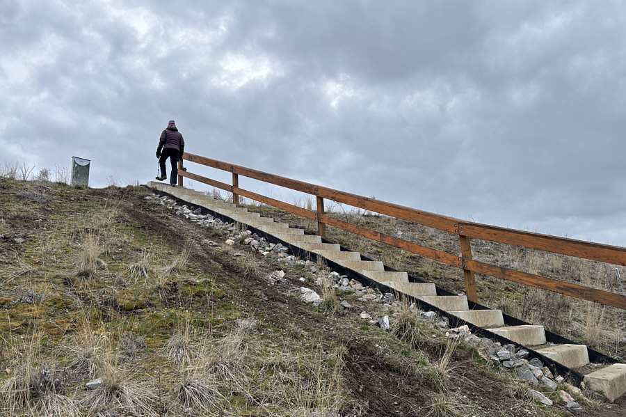 |
This concrete staircase simplifies the ascent. |
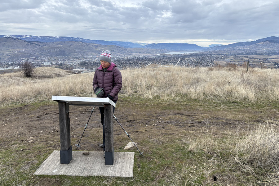 |
Zosia reads an interpretive sign at the lower west summit (630 metres) of Mount Middleton. |
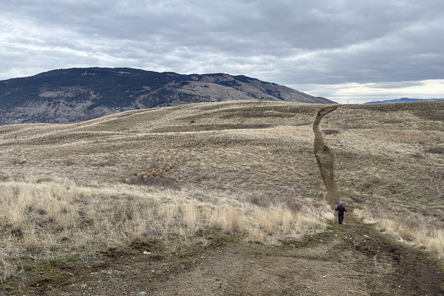 |
Zosia drops into a dip as she heads for Mount Middleton's east summit. In the background at left is Vernon Hill. |
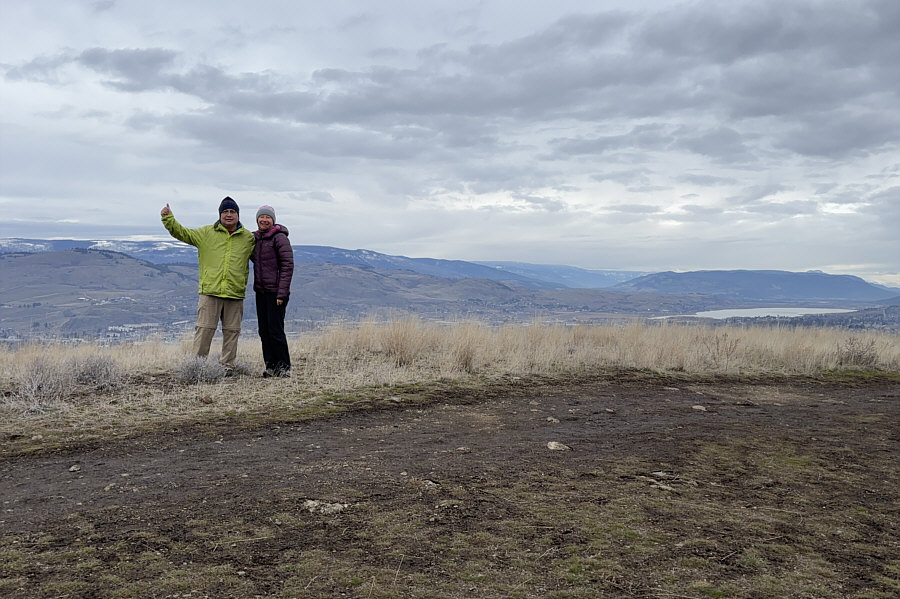 |
Sonny and Zosia stand on the east (true) summit (632 metres) of Mount Middleton. The body of water at distant far right is Swan Lake. |
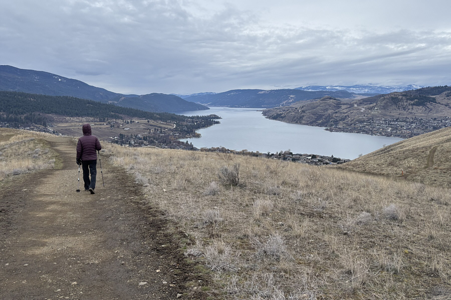 |
Zosia takes an alternate route for the return. Kalamalka Lake dominates the view to the southwest. |
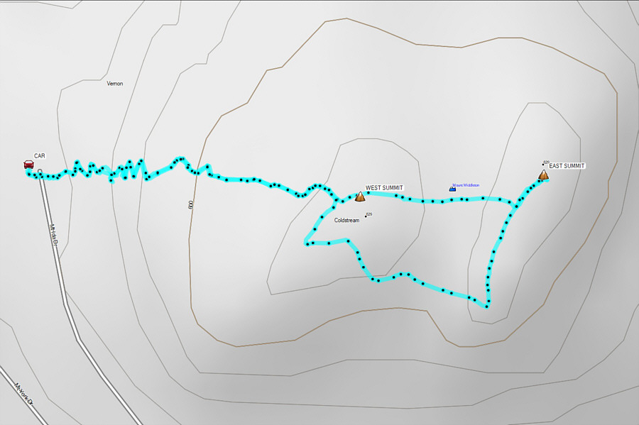 |
Total Distance: 2.3 kilometres Round-Trip Time: 1 hour 3 minutes Cumulative Elevation Gain: 89 metres |
 |
Zosia prepares to run up Vernon's "Black Rock" from the parking lot. |
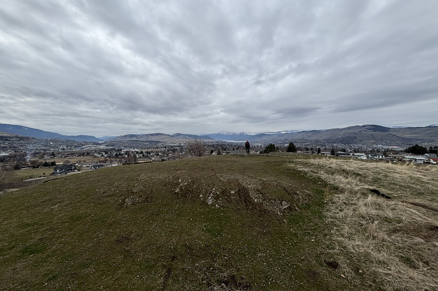 |
The top of Black Rock (510 metres) grants far-reaching views in every direction. |
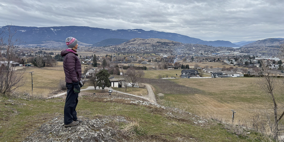
Zosia looks southward toward Mount Middleton (centre).
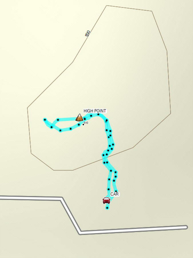 |
Total Distance: 272 metres Round-Trip Time: 8 minutes Cumulative Elevation Gain: 11 metres |