Once Zosia and I resumed our approach to LSP, we dropped into a dip before climbing over another distinct line of cliffs spanning the ridge crest. Boora calls these cliffs "Black Dragon Back", and although they can be circumvented via an obvious gap to the far right (east), there is a hidden notch at left that is both convenient and fun to scramble through. A large cairn marks the start of a path to this notch, but it is difficult to spot from a distance. Past Black Dragon Back, the ridge narrows significantly, and although it is possible to continue along the crest, it is simpler to drop down slightly to follow a beaten path along the steep eastern slopes. Lingering snow patches in early season would make this section much trickier, but we had no issues in the snow-free conditions we had. This narrower part of the ridge ends at a second dip, and from there, the remaining section to the summit of LSP is straightforward though deceptively longer than it appears.
Zosia and I spent about an hour on the summit before commencing our descent. We pretty much retraced our steps along the undulating south ridge--minus the detour to The Dog--all the way back to the pipeline right-of-way. We stuck to the road for its entirety while descending the right-of-way and had no problems returning to our parked car.
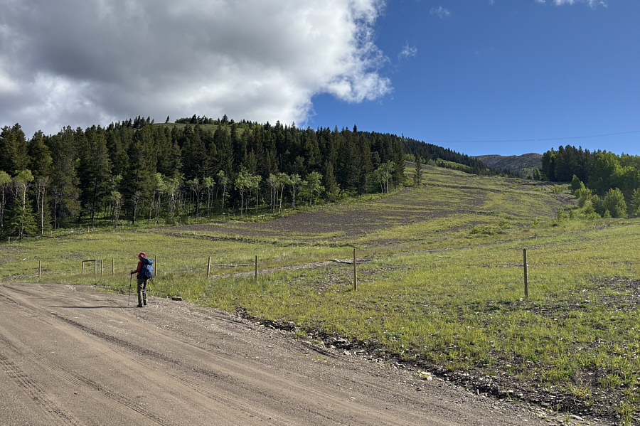 |
The start of the ascent follows this pipeline right-of-way. |
 |
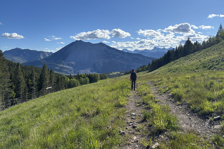
Zosia hikes along a bench above a 4x4 road along the pipeline right-of-way. She would soon connect with the road to climb to the ridge crest at upper right. |
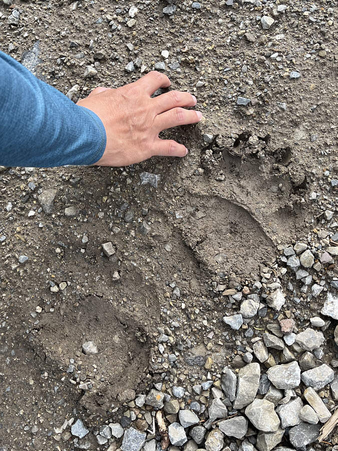 |
A bear recently climbed up the 4x4
road. Photo courtesy of Zosia Zgolak |
 |
Zosia gains the crest of the ridge and turns northward. |
 |
Left of centre is "The Dog", a sub-peak of "Livingstone South Peak". |
 |
Zosia approaches some short reddish cliffs which are referred to as "Red Dragon Back" by Parveen Boora. These cliffs guard the approach to The Dog from the main ridge crest. |
 |
After surmounting Red Dragon Back, Zosia faces surprisingly thick forest along the connecting ridge to The Dog. |
Zosia wanders past the high point of The Dog to get a better view of the unfolding panorama.
 |
Zosia and Sonny stand on the high point of The Dog (2058 metres). |
 |
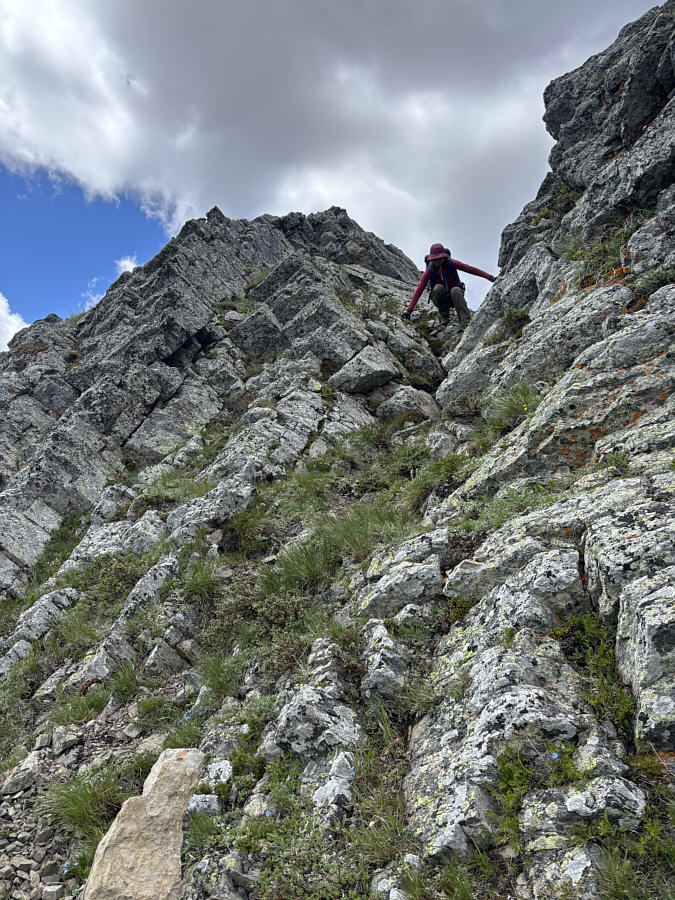
Zosia carefully descends Red Dragon Back to resume her ascent of Livingstone South Peak. |
 |
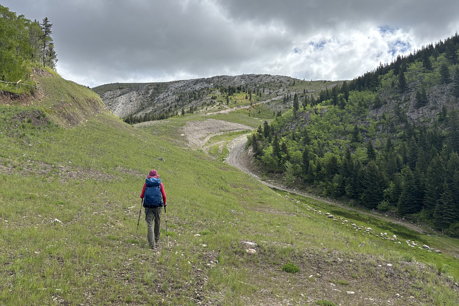
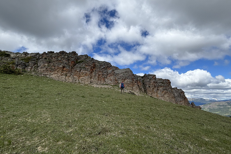
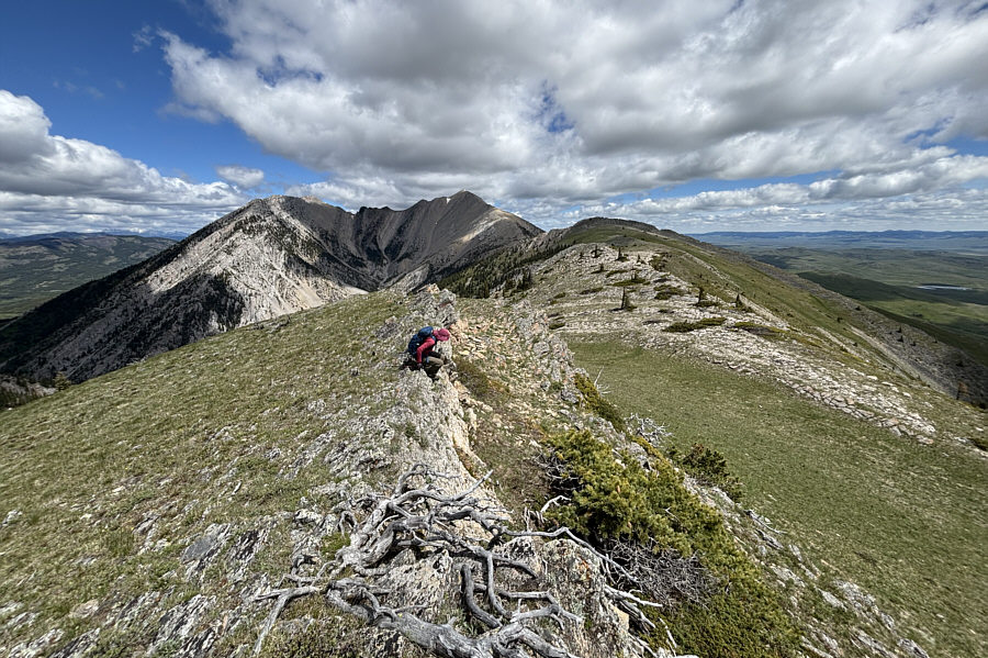
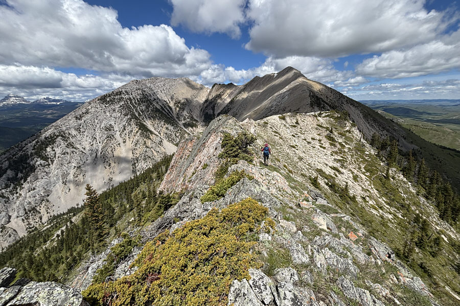
Zosia approaches the next obstacle which Boora refers to as "Black Dragon Back". Although this obstacle can be circumvented via an obvious gap at far right, a hidden notch roughly ahead of Zosia offers a more direct route. |
 |
Zosia carefully descends the north side of the hidden notch. |
 |
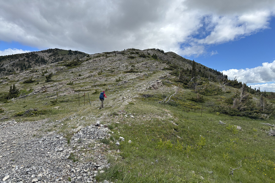
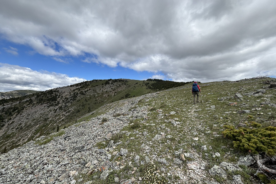
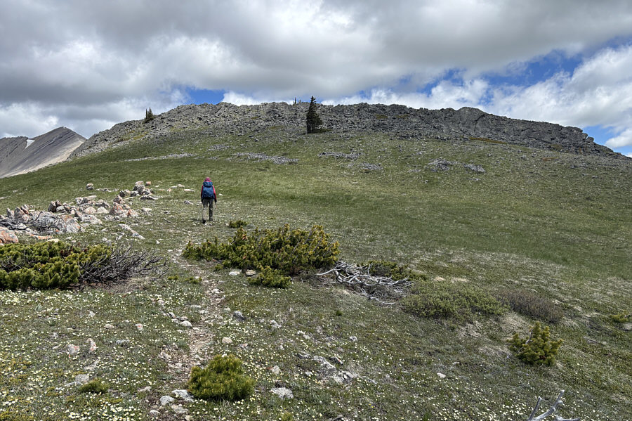
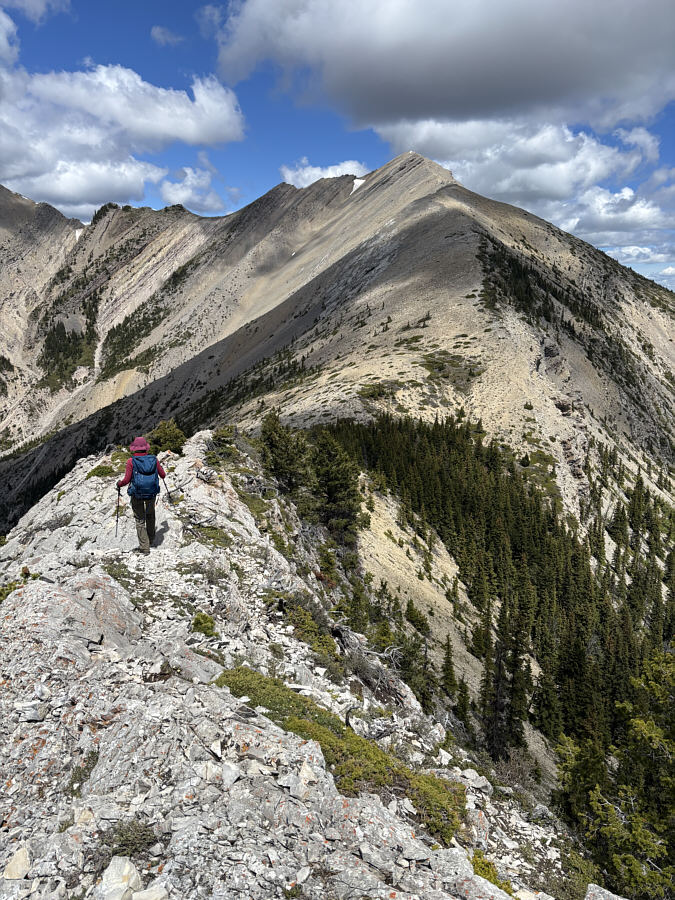
Zosia continues northward along the undulating ridge. |
 |
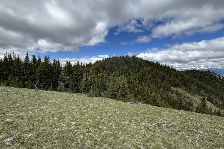
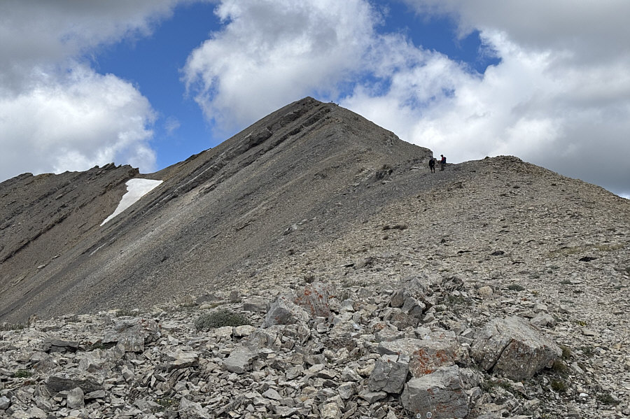
Zosia drops into the last dip along the ridge before the final climb to the top. |
 |
As Zosia stops to chat with a descending man, two women can be seen nearing the summit. |
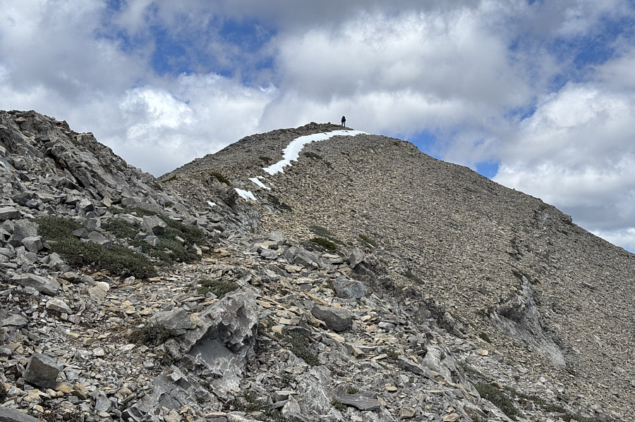 |
Zosia follows a line of lingering snow near the top. |
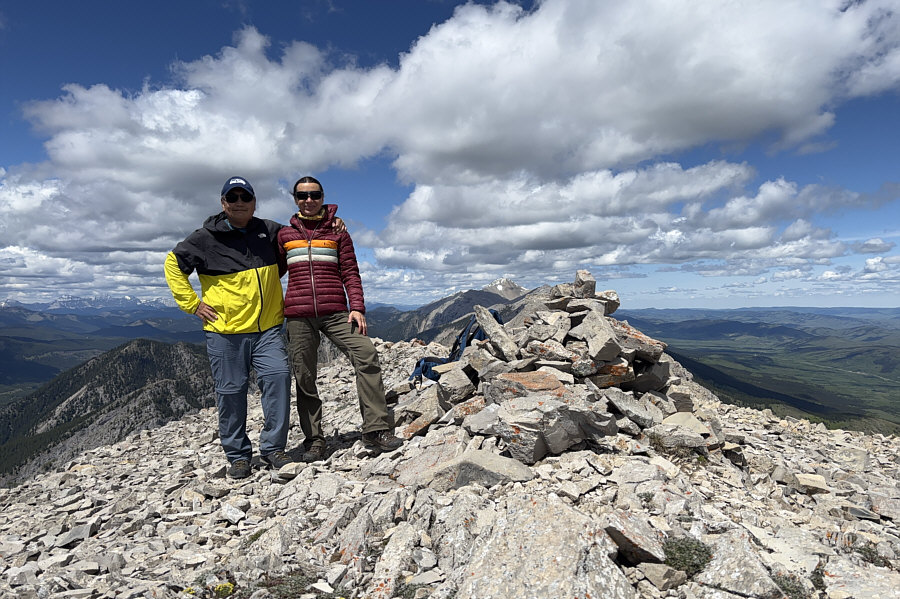 |
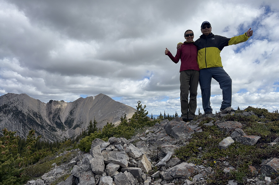
Sonny and Zosia stand on the summit of Livingstone South Peak (2298 metres). |
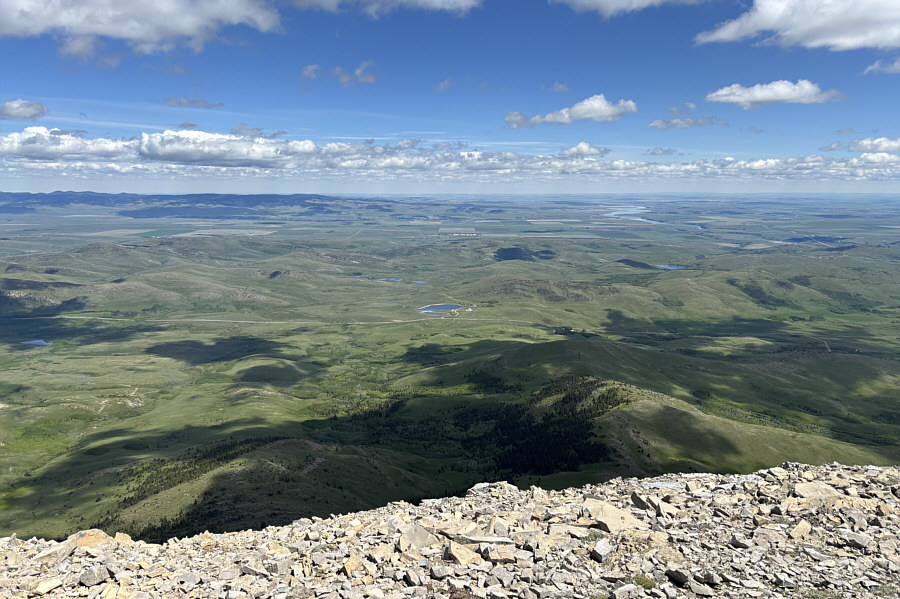 |
The view to the east includes the south end of Porcupine Hills (far left) and Oldman River (distant right). |
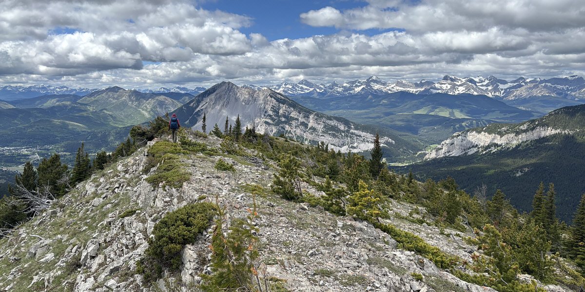
Here is the view to the south from the top of Livingstone South Peak. At centre is The Dog.
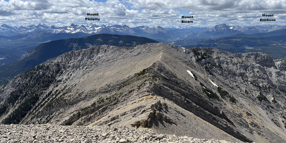
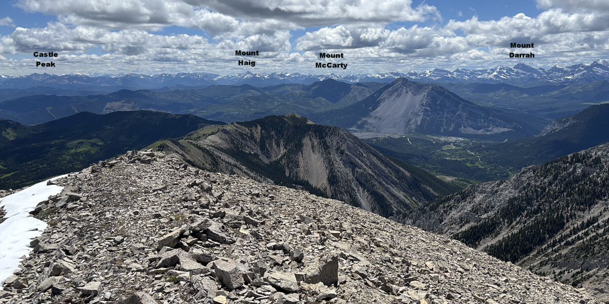
Here is the view to the west from the top of Livingstone South Peak. "Morin Peak" is immediately across the connecting ridge.
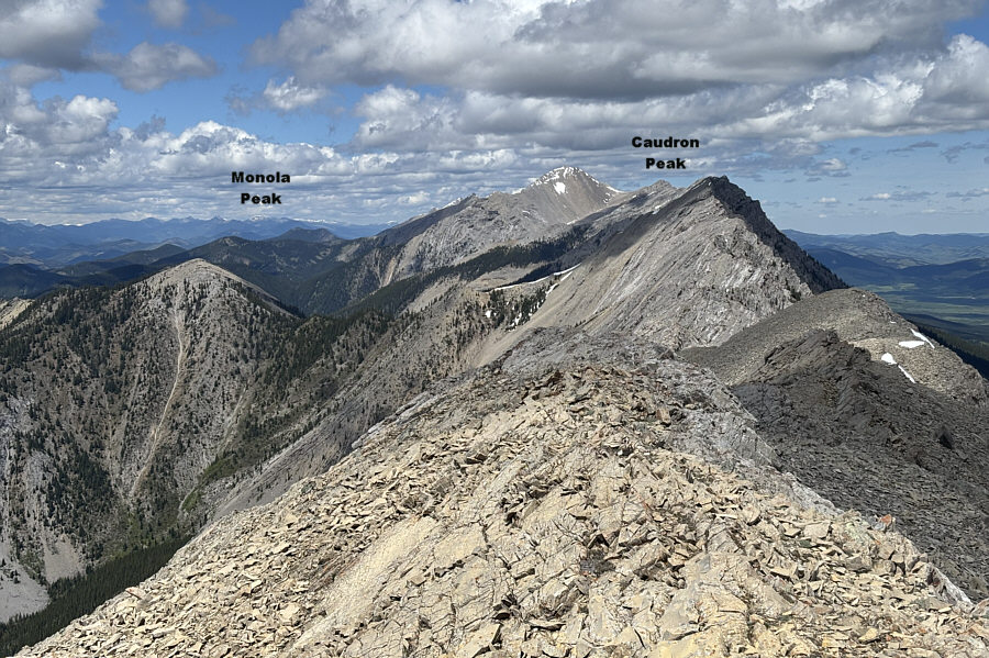 |
Centre Peak stands out in the view to the north. |
 |
Late in the day, Zosia hikes back down the pipeline right-of-way with Turtle Mountain dominating the view across the valley. |
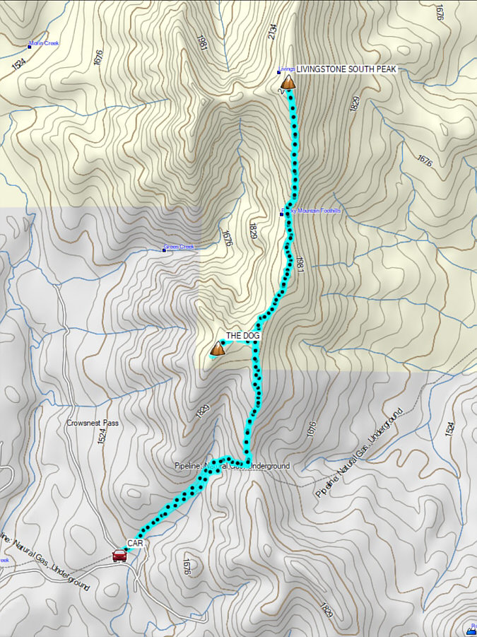 |
Total Distance: 13.8 kilometres Round-Trip Time: 8 hours 59 minutes Cumulative Elevation Gain: 955 metres |