|
|
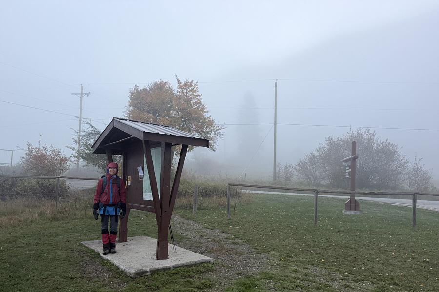
Morning fog obscures views of Enderby Cliffs from the trailhead. |
|
|
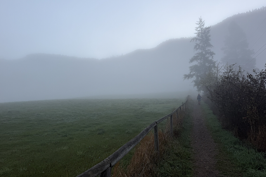
The top of Enderby Cliffs is barely visible at far left as Zosia walks along an easement to the park boundary. |
|
|
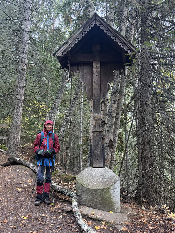
A little more than two kilometres up the trail is this wooden waycross which was apparently carved by villagers from Oberammergau, Germany. |
|
|
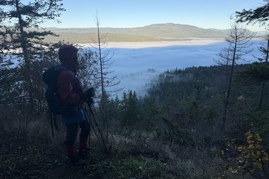
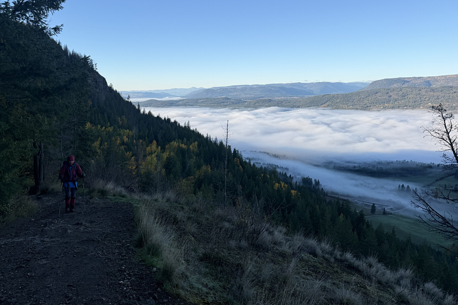
Zosia stops along the trail to view the fog-covered valley. |
|
|
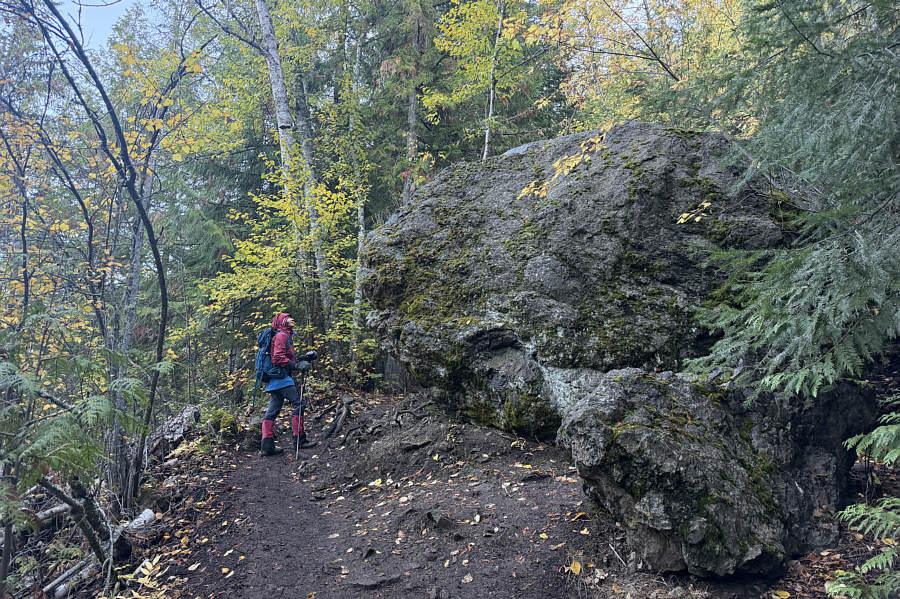
Zosia passes a very large boulder that had likely tumbled down from the slope above ages ago. |
|
|
The trailhead parking lot is visible at lower right as Zosia continues climbing up the trail. |
|
|
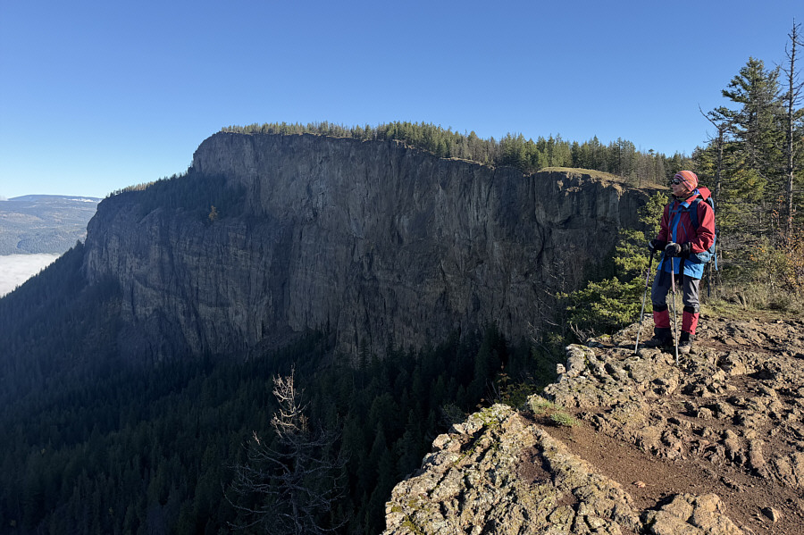
Zosia gets her first good look of the day at Enderby Cliffs. |
|
|
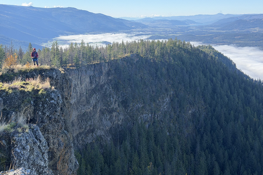
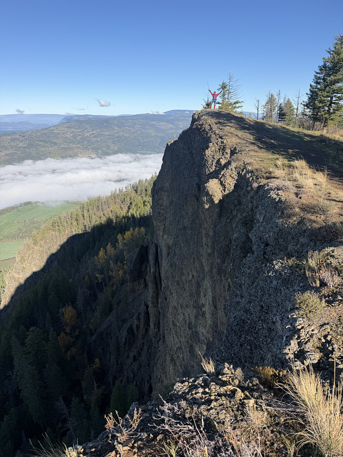
Zosia hikes along the top edge of the cliffs. |
|
|
Zosia reaches the "Summit" of Enderby Cliffs as marked on the park map. |
|
|
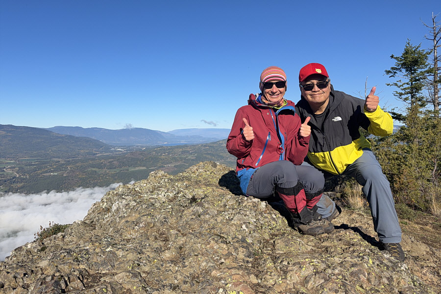
Zosia and Sonny give thumbs up on the Summit of Enderby Cliffs (1185 metres). To the northwest, a sliver of Shuswap Lake is visible just left of centre in the distance. |
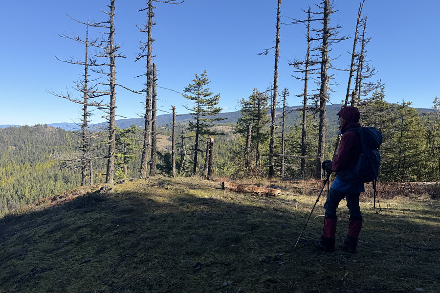 |
The actual high point of the park is visible at dead centre through the trees. |
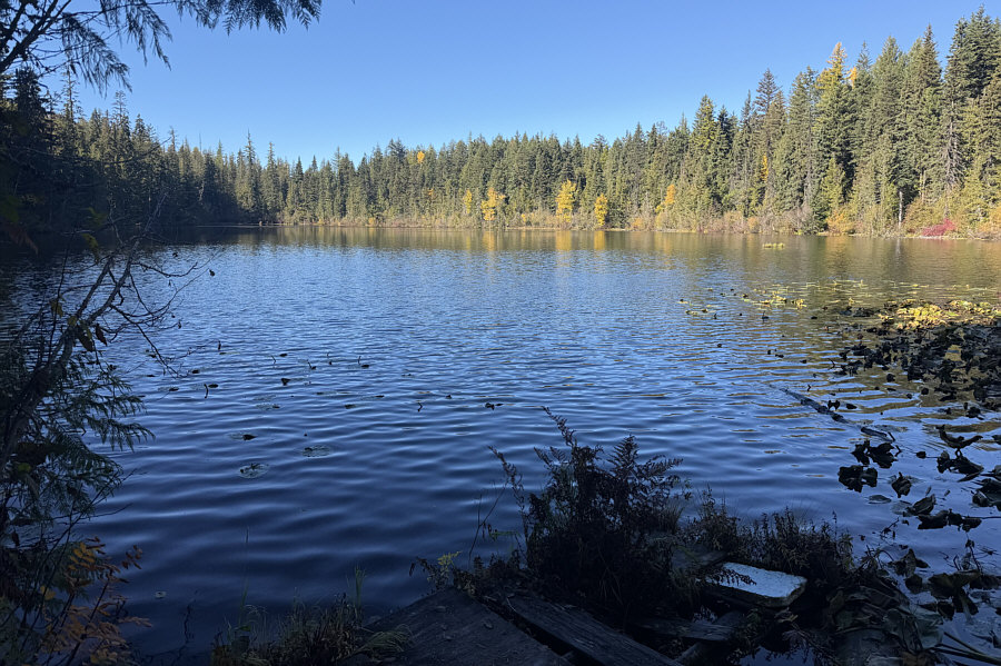 |
Officially-named Reeves Lake is located about two kilometres northeast of the Summit of Enderby Cliffs. |
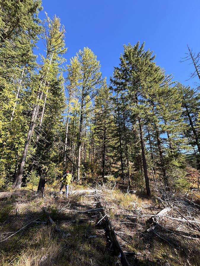 |
After hiking about 800 metres past
Reeves Lake on a good trail, Sonny goes off-trail to climb up to
the park's high point. Photo courtesy of Zosia Zgolak |
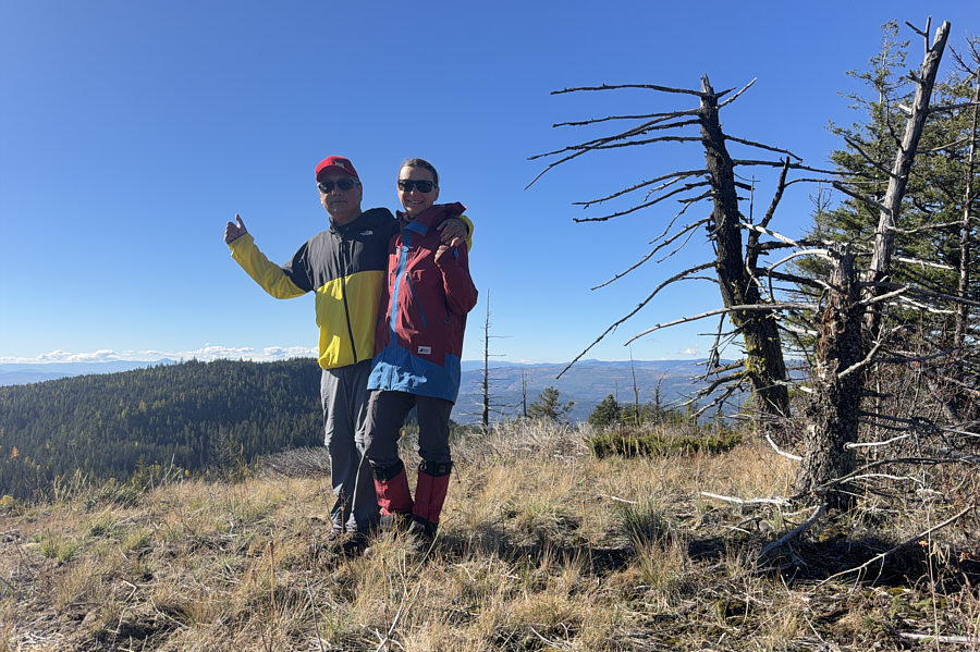 |
Sonny and Zosia stand on the true high point (1260 metres) of Tplaqín/Enderby Cliffs Park. |
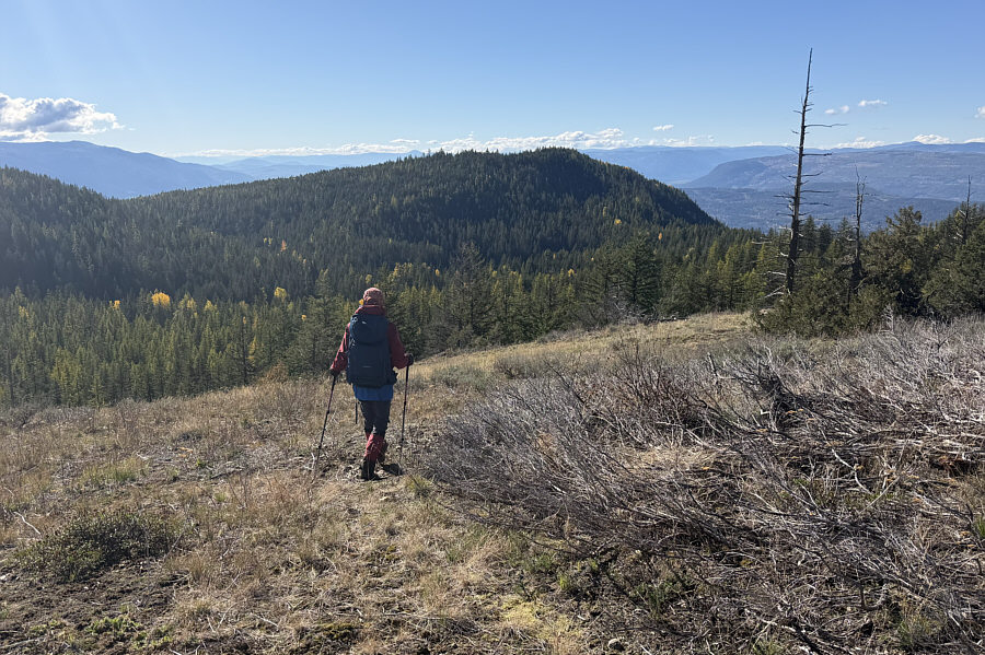 |
Zosia begins the long return journey which entails climbing back over the forested hump--the second highest point (1258 metres) in the park--at centre. |
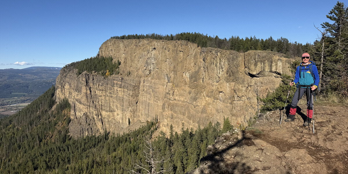
Zosia returns to the same viewpoint where she had gotten her first good look at Enderby Cliffs--this time in full sunlight.
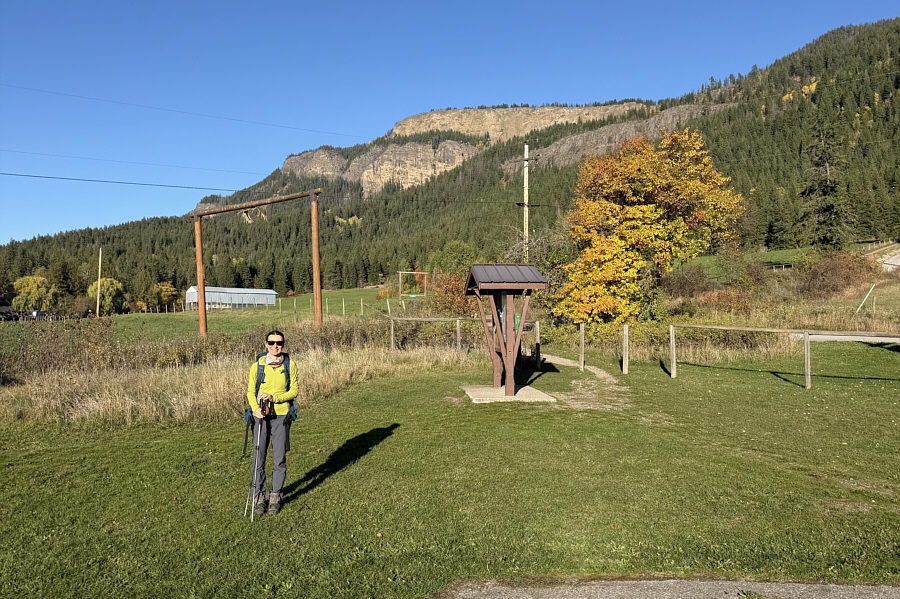 |
This is the view of Enderby Cliffs from the trailhead without fog. |
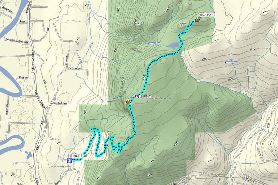 |
Total Distance: 22.1 kilometres Round-Trip Time: 9 hours 4 minutes Cumulative Elevation Gain: 1017 metres |